


| The highway through the Otira Gorge, heading up towards Arthur's Pass, one of the few roads that felt like driving in BC. At left is an avalache shelter (i.e. a snow shed). To the right is a waterfall overpass, which I found sufficiently odd that it warranted a picture. Fortunately there was a scenic turnoff just up the road. |
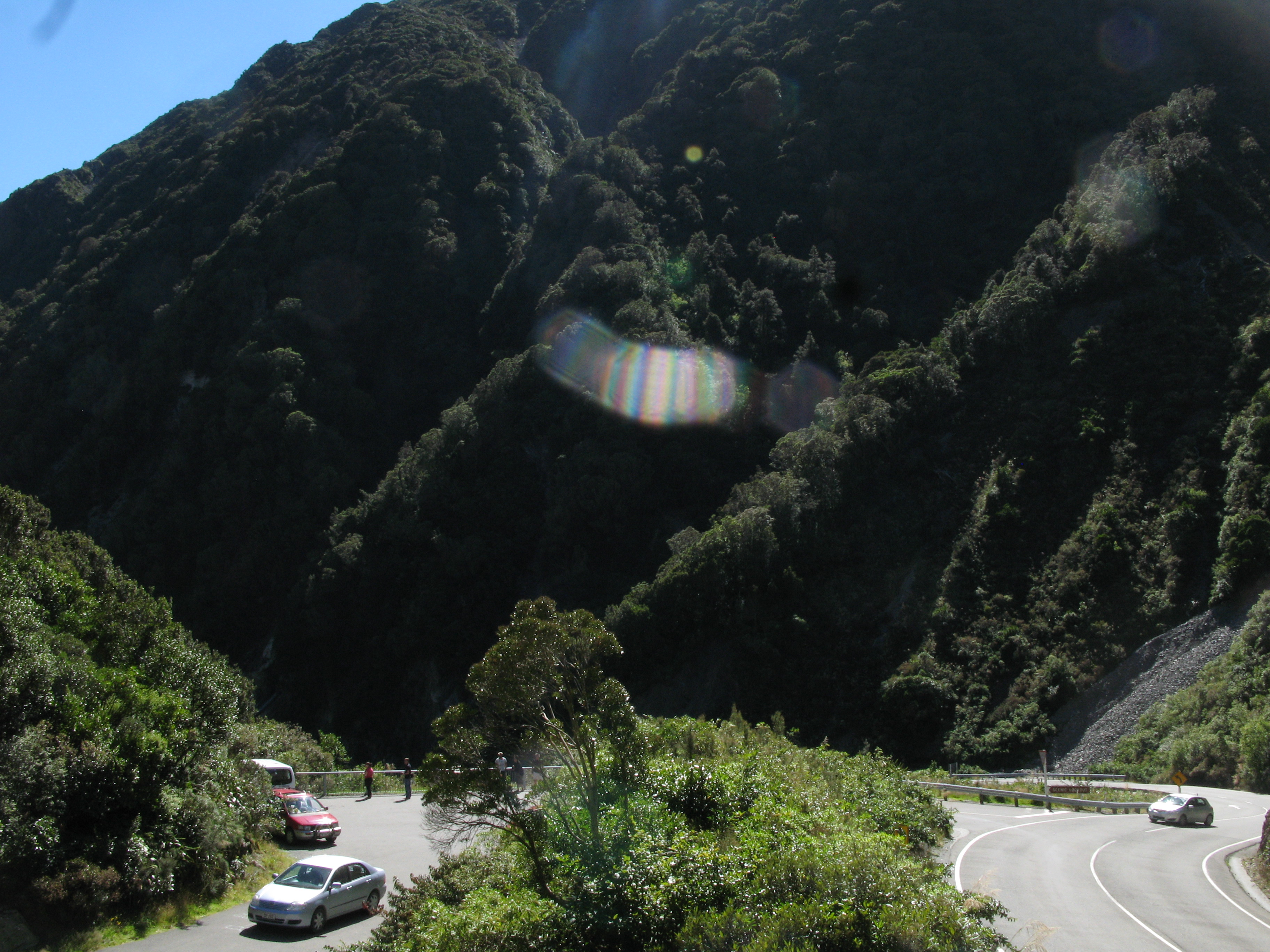
| There was a track leading up from the turnoff parking lot, which I thought might lead to something photogenic. Unfortunately, all it led to was a scenic overlook of the scenic overlook parking lot. Strange. Also, I think this is the only picture I took in which my car features (the Toyota at bottom). In this light the ridiculousness of the blue colouring isn't as apparent. |
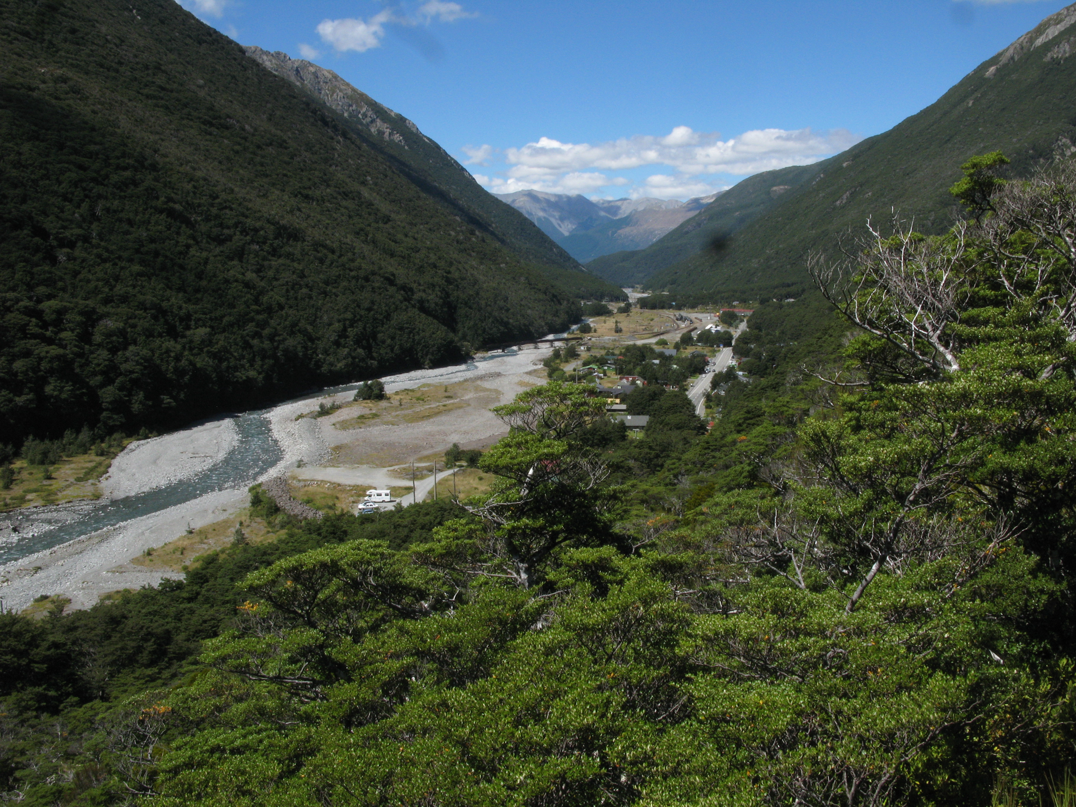
| Arthur's Pass village. |
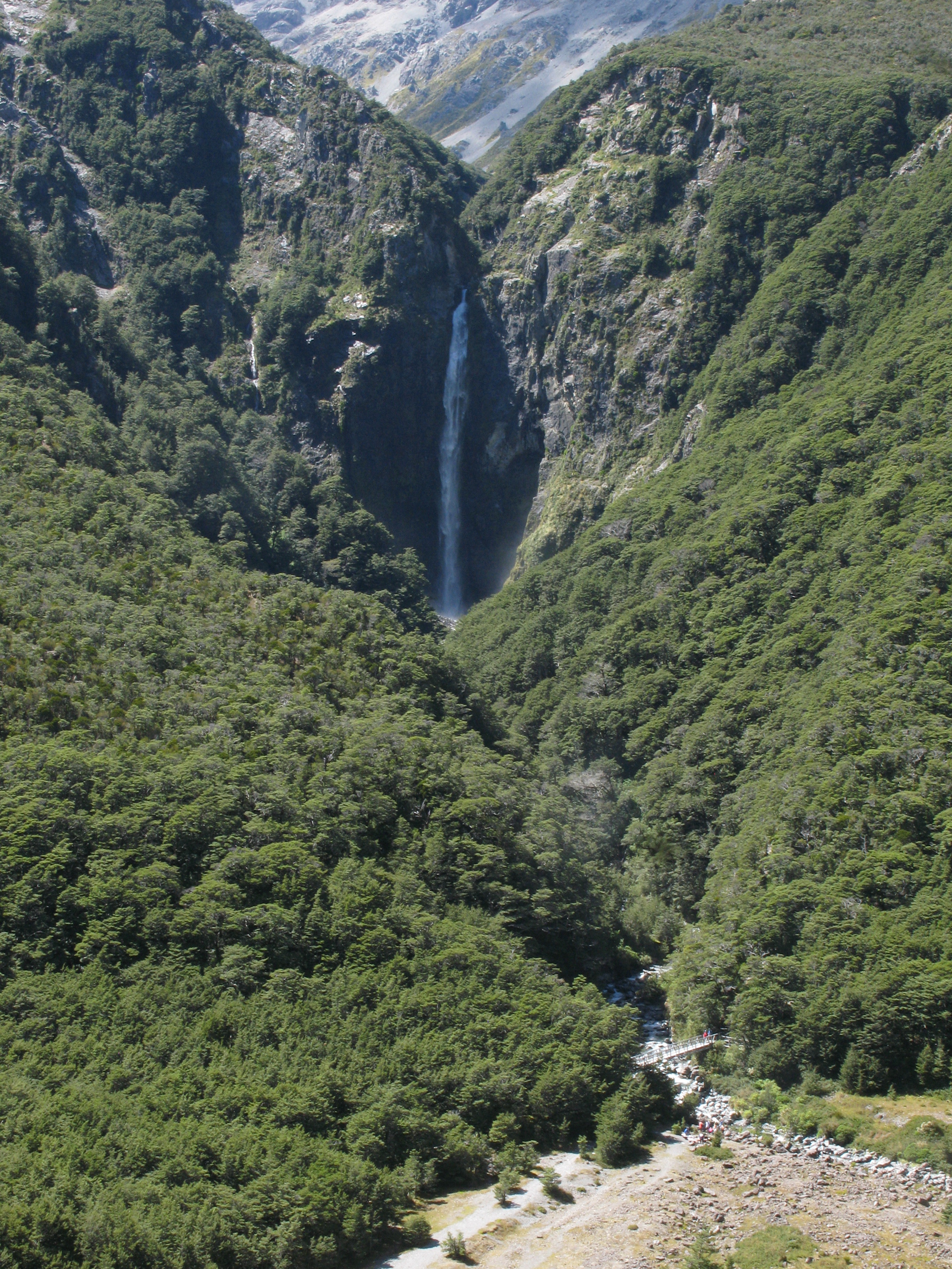
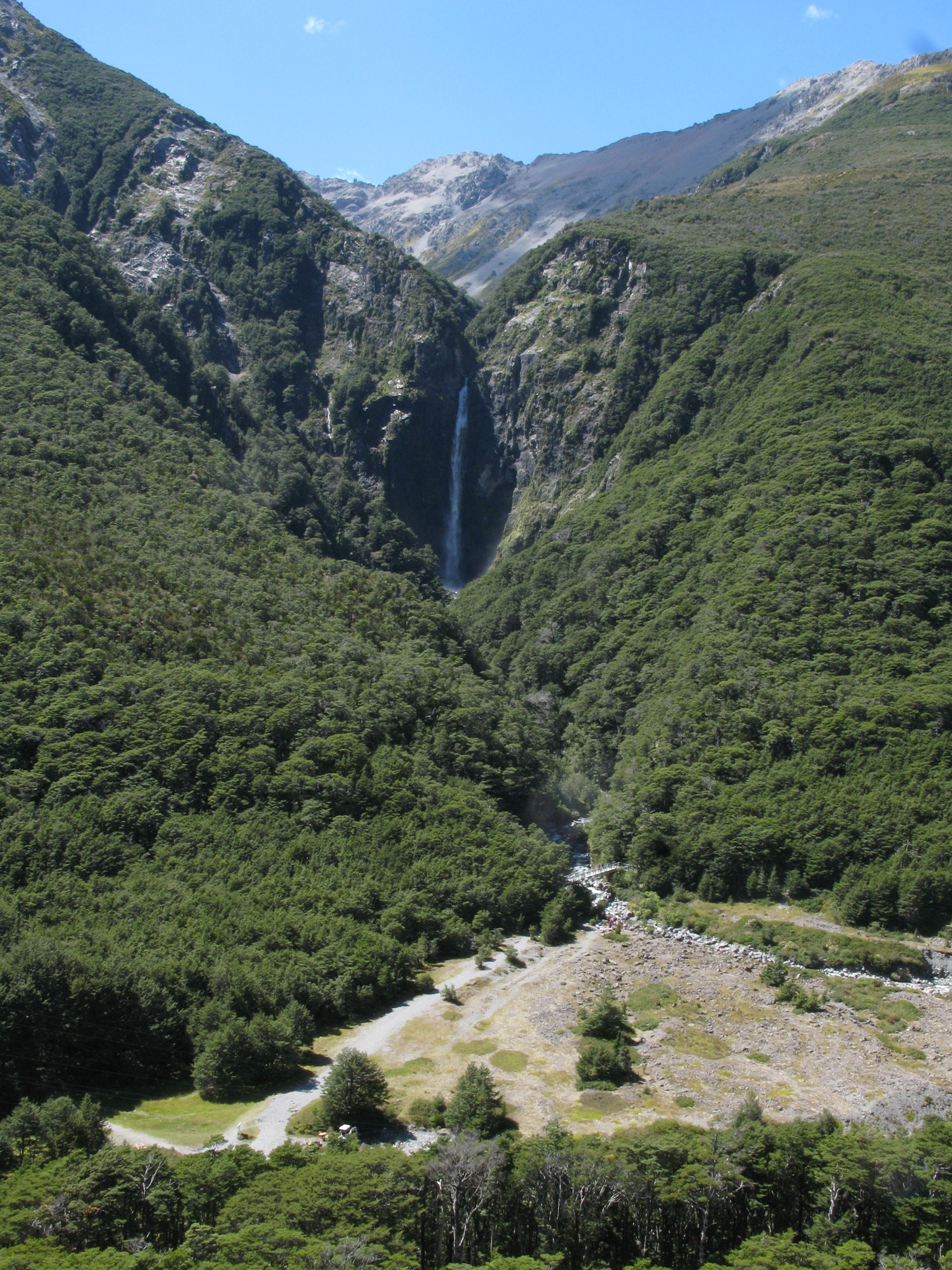
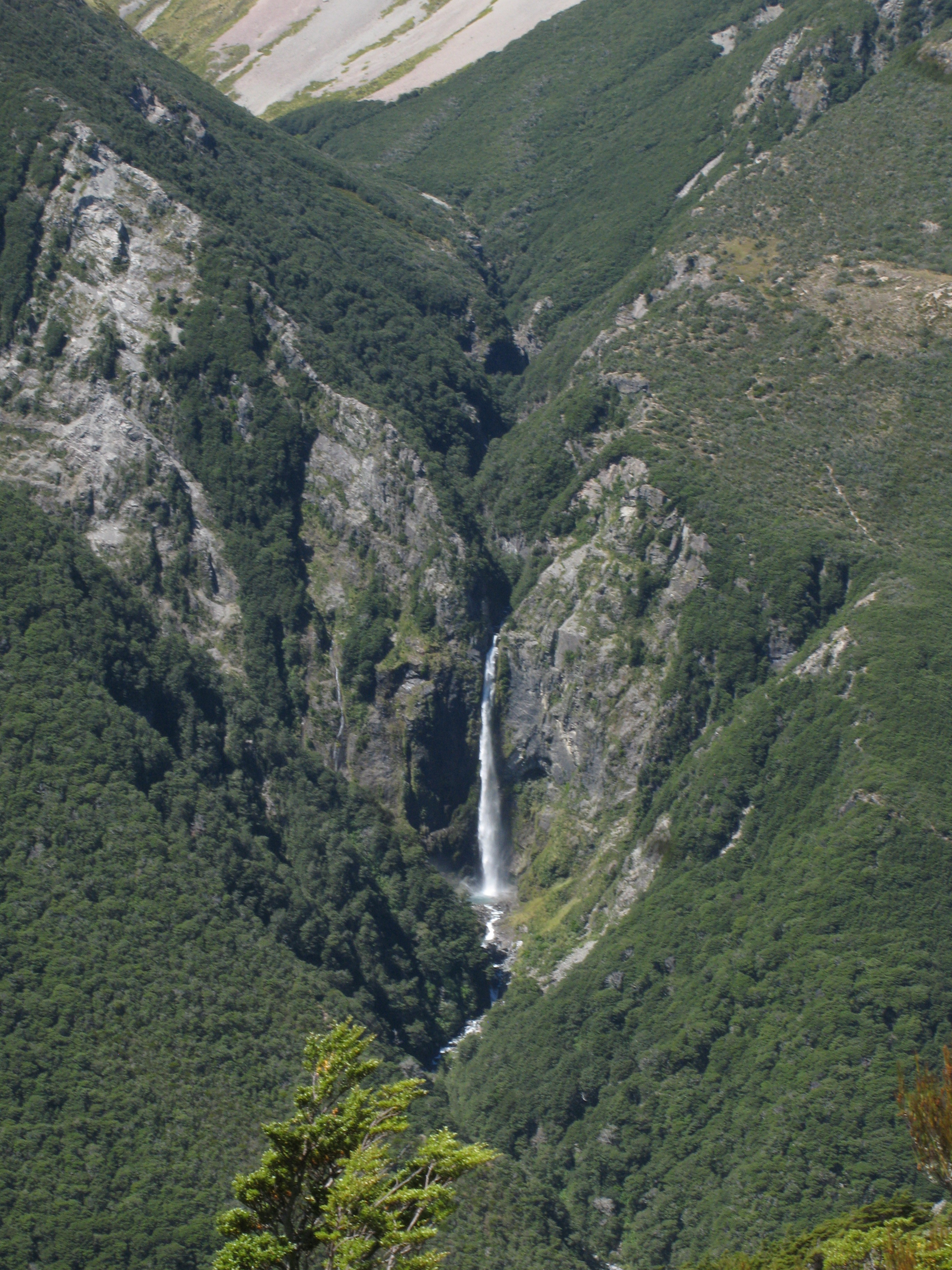
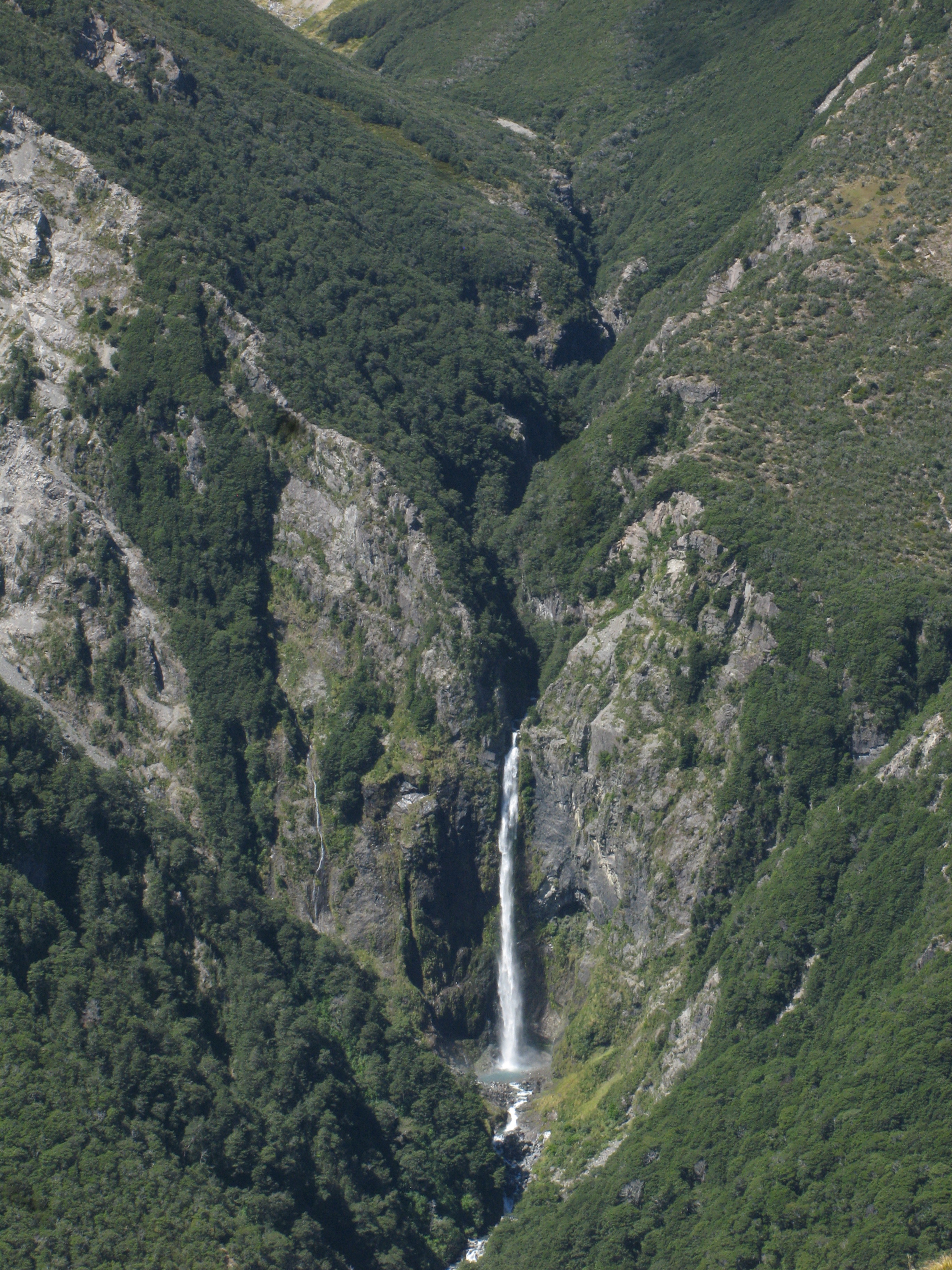
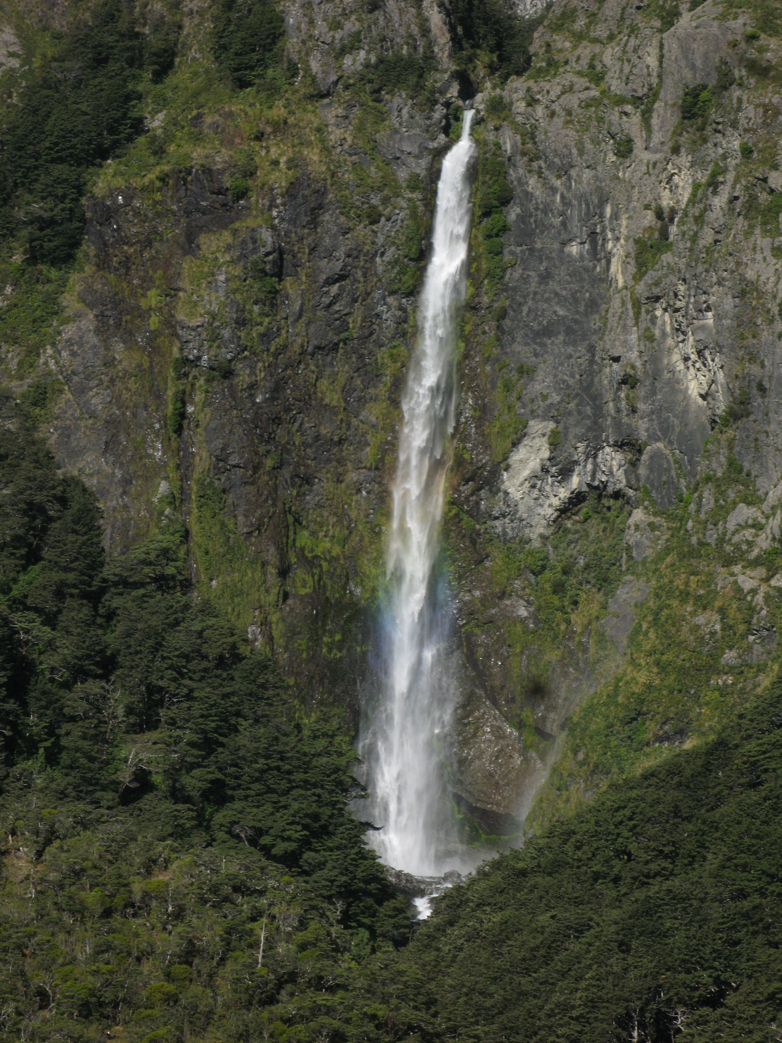
| The Devil's Punchbowl waterfall. |
| The Devil's Punchbowl waterfall. |
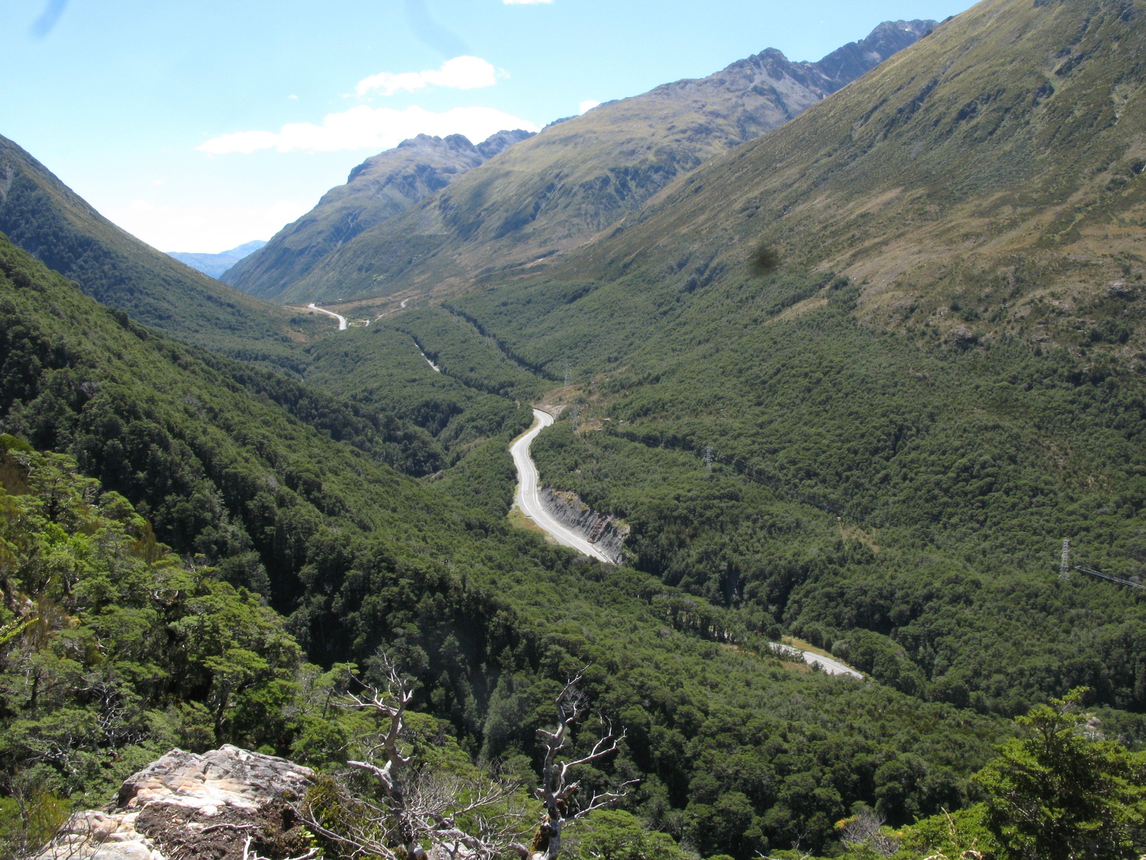
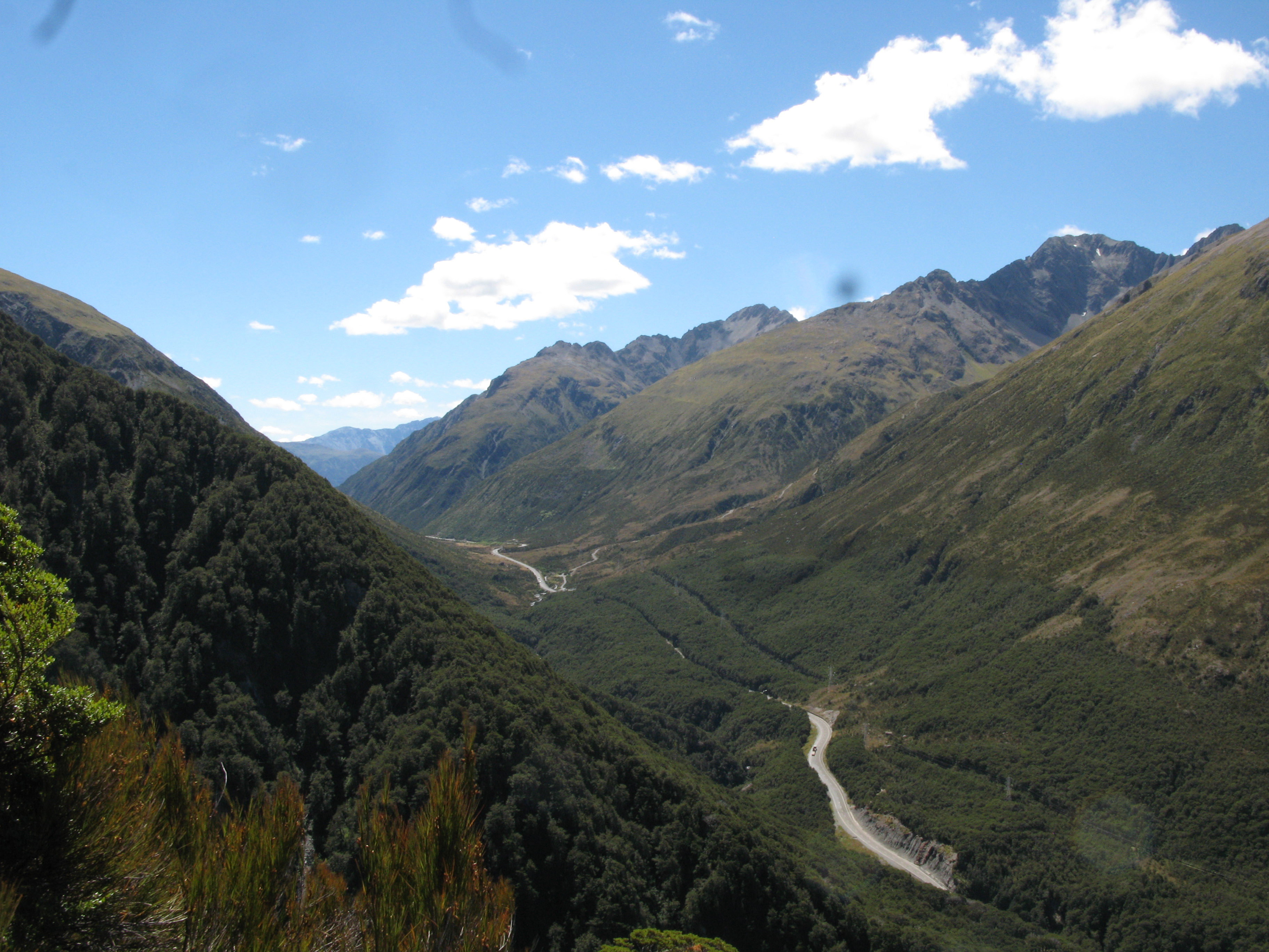
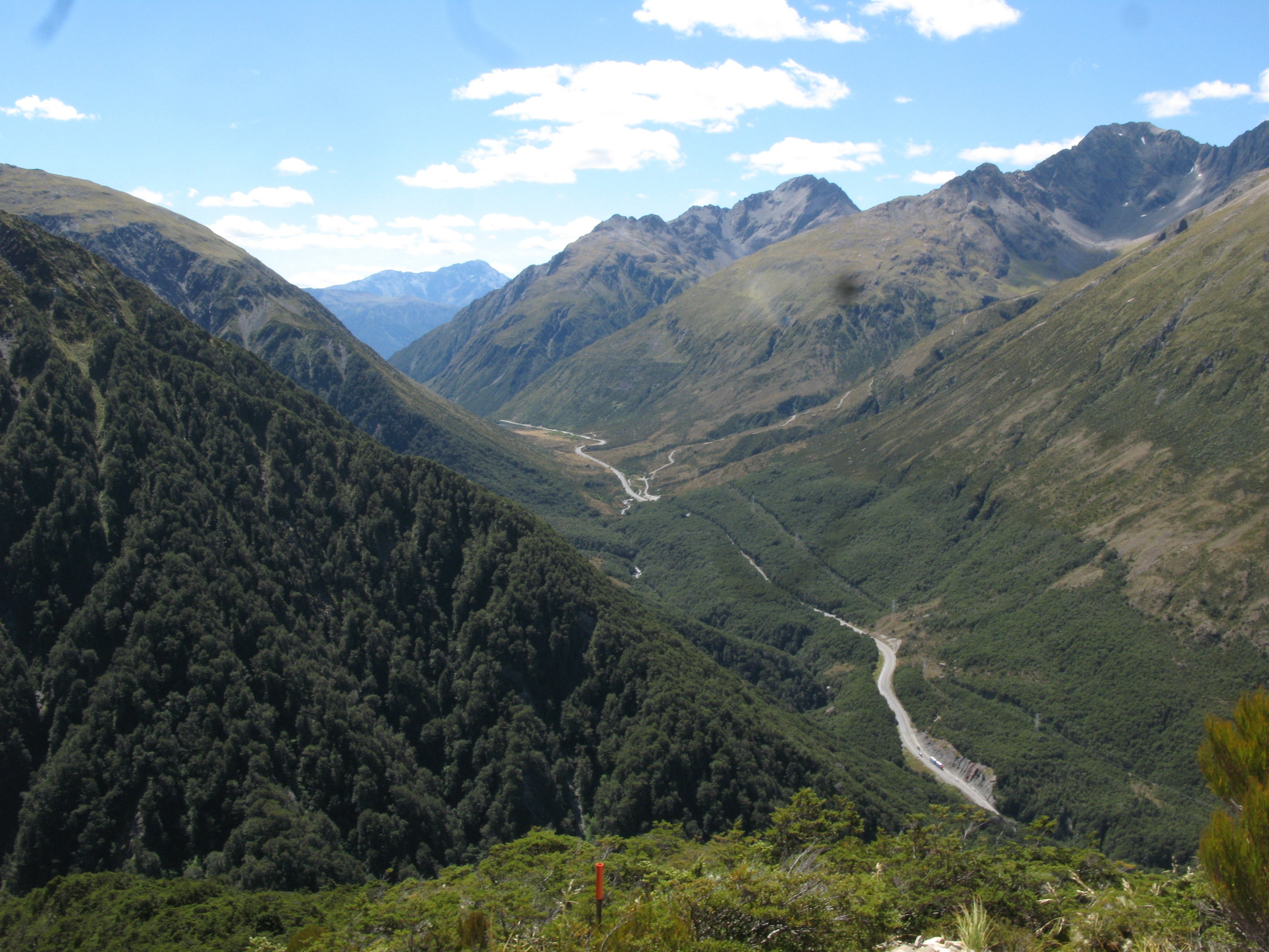
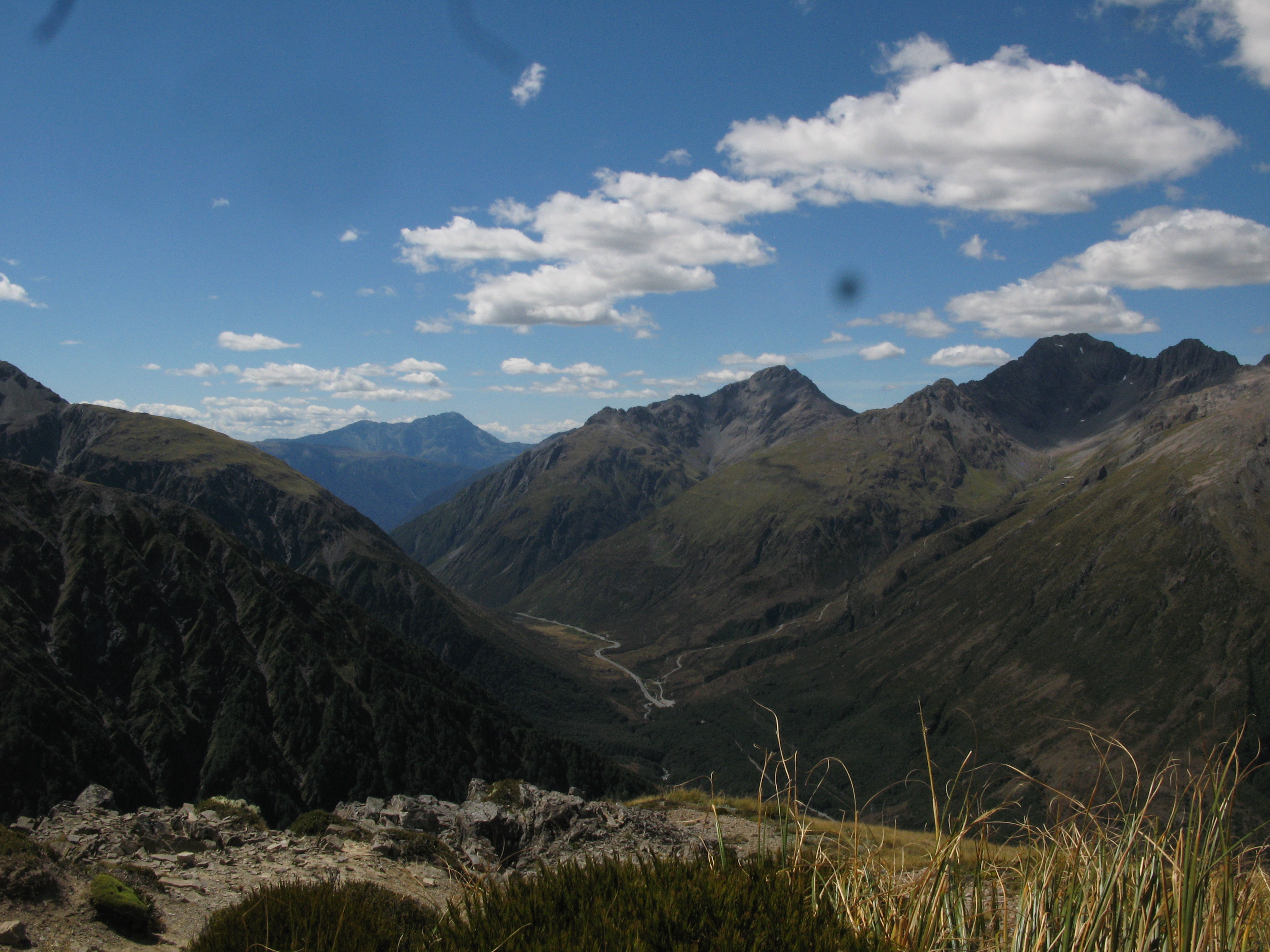
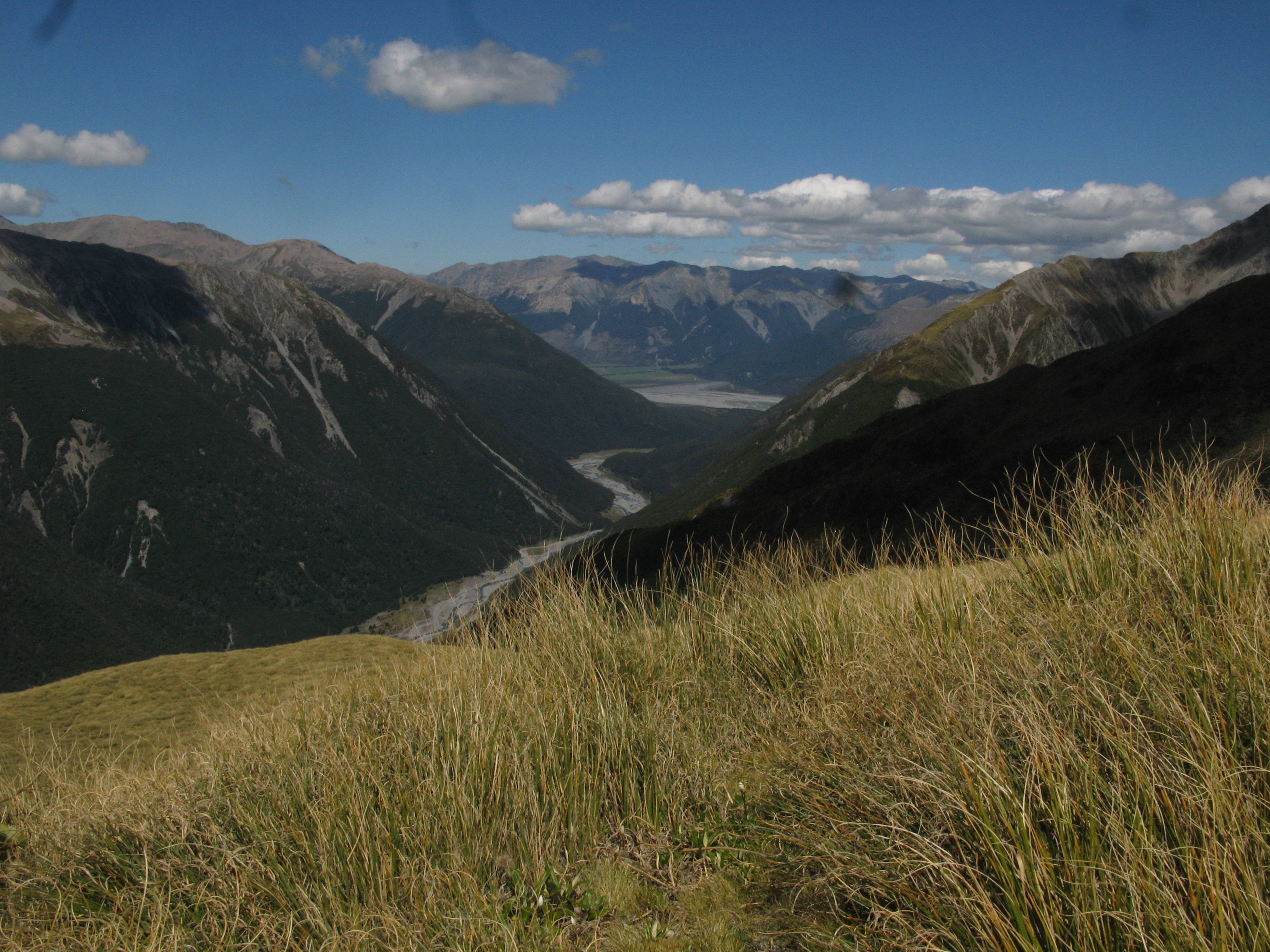
| Looking north up the valley towards the Pass. |
| State Highway 73, "The Great Alpine Highway". |
| Looking across at the Punchbowl. |
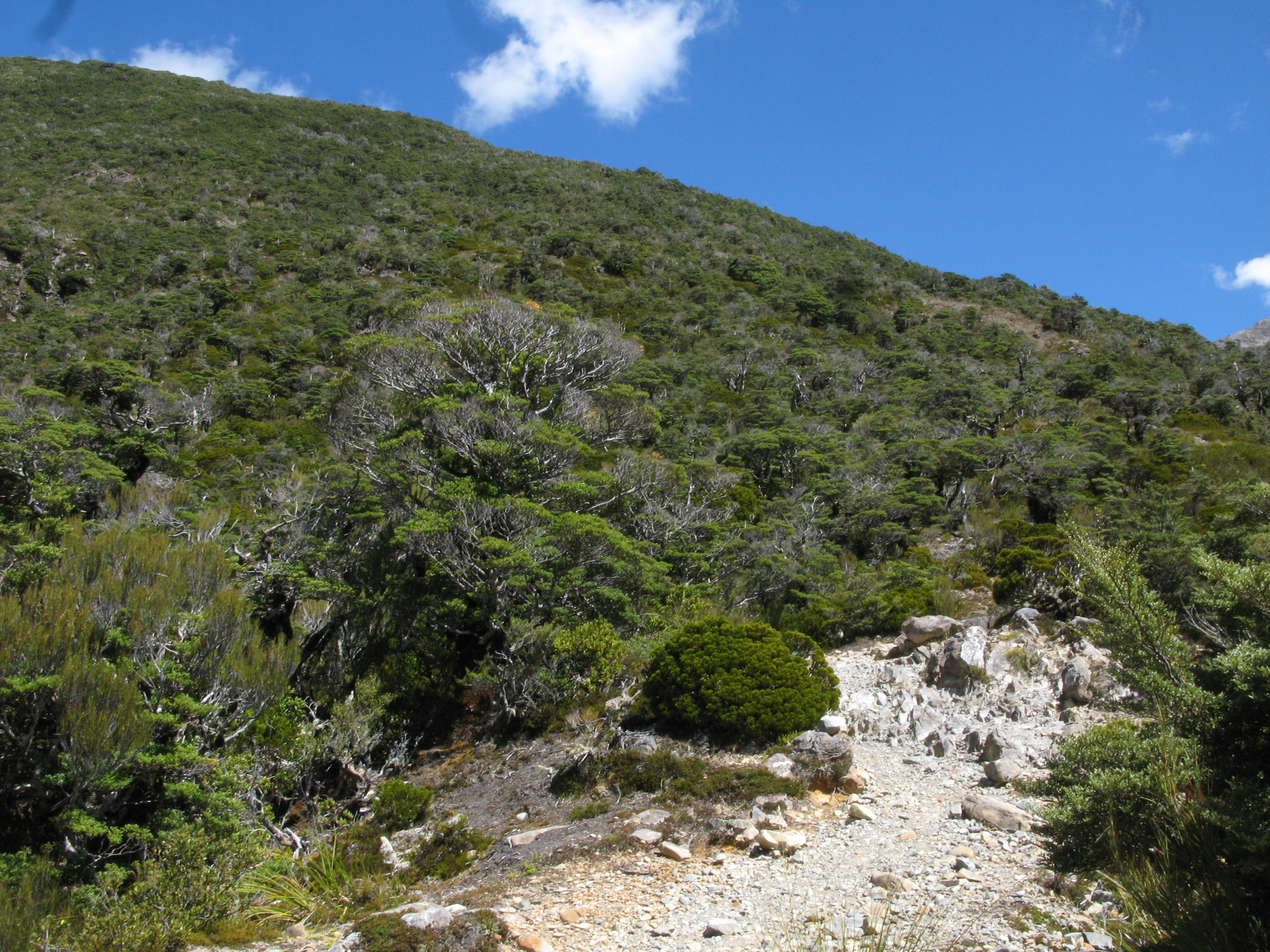
| Heading up Avalanche Peak. |
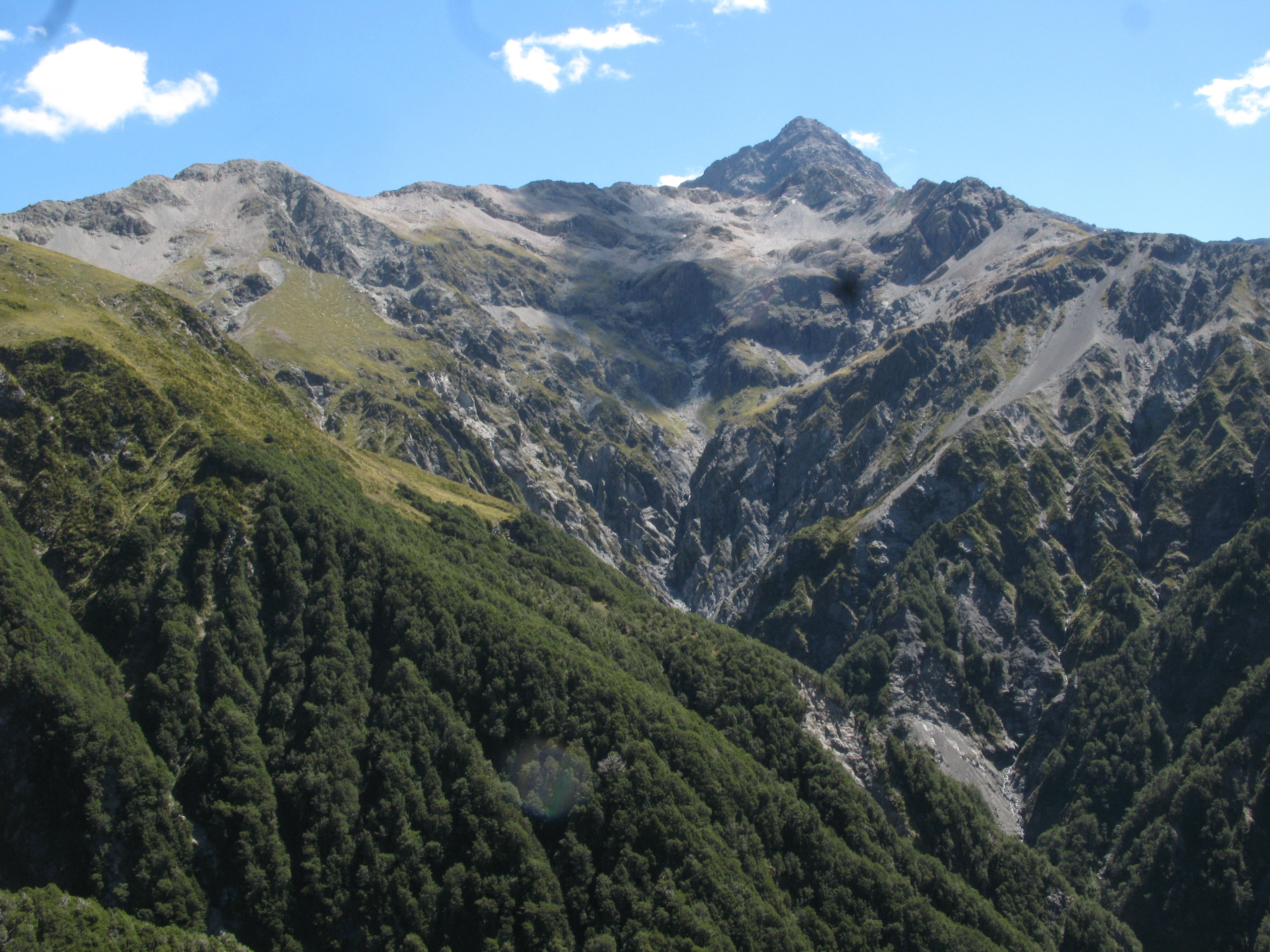
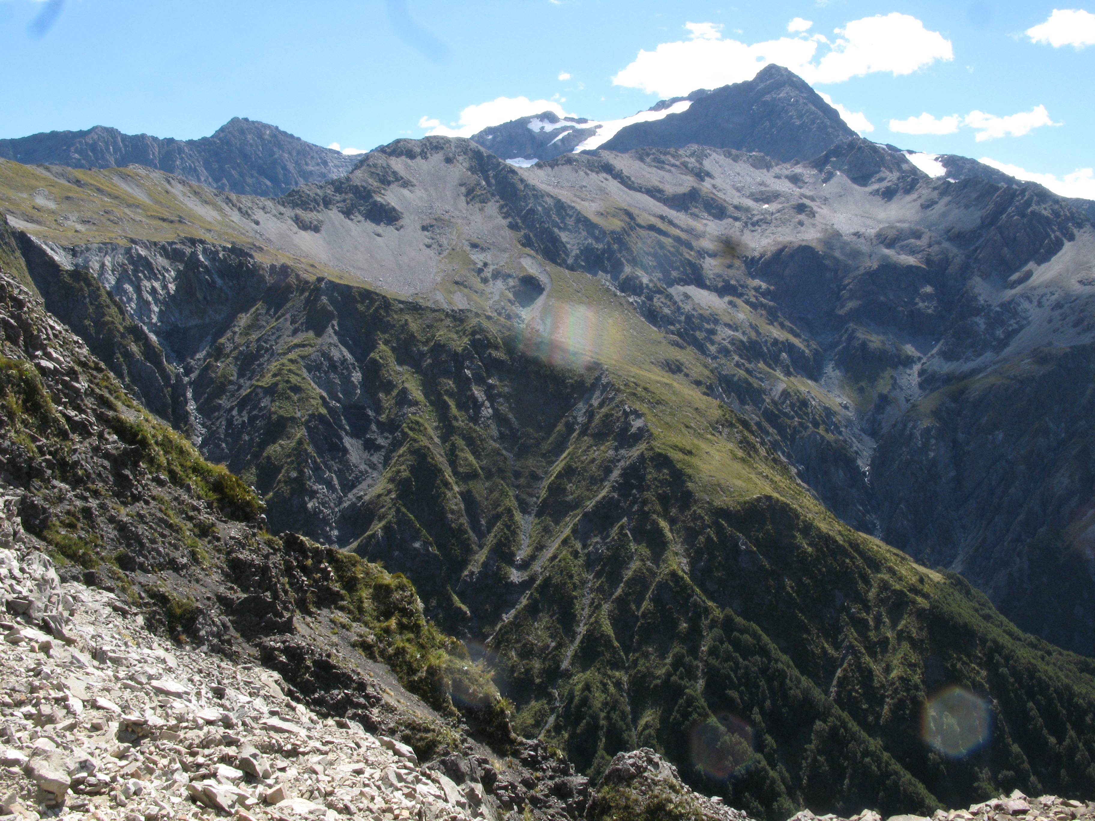
| Mount Cassidy. |
| Another view up the valley. The track which heads right from the highway up the valley is the Temple Basin Skifield road. |
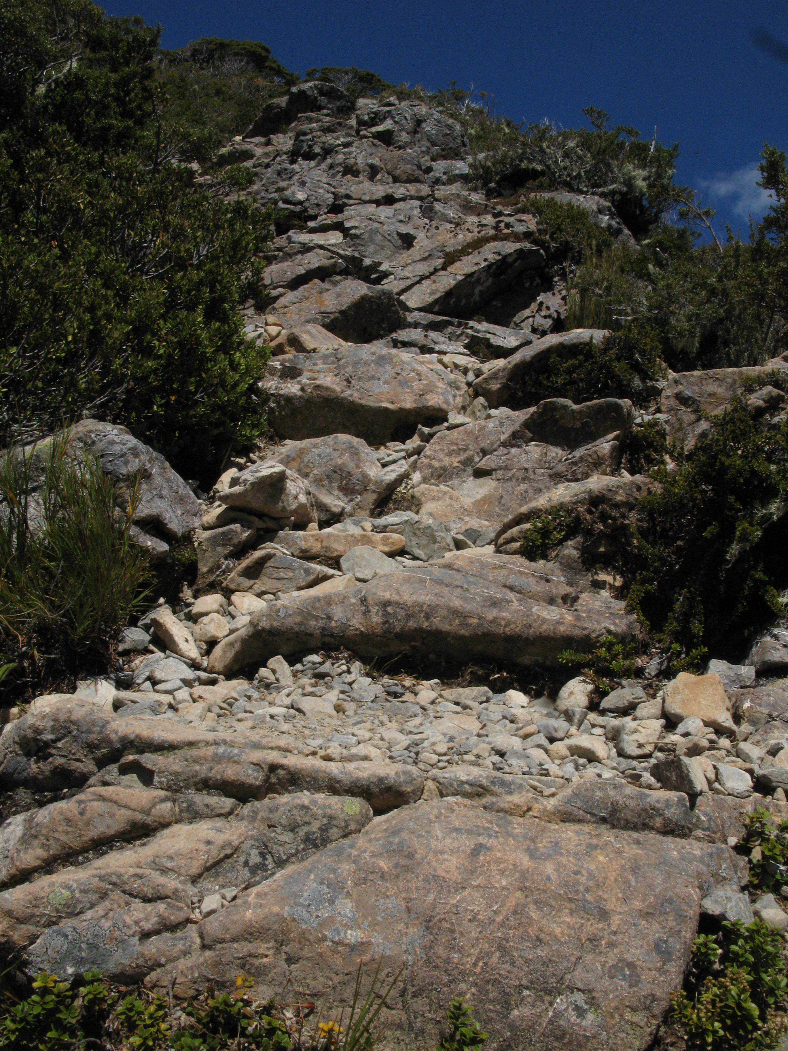
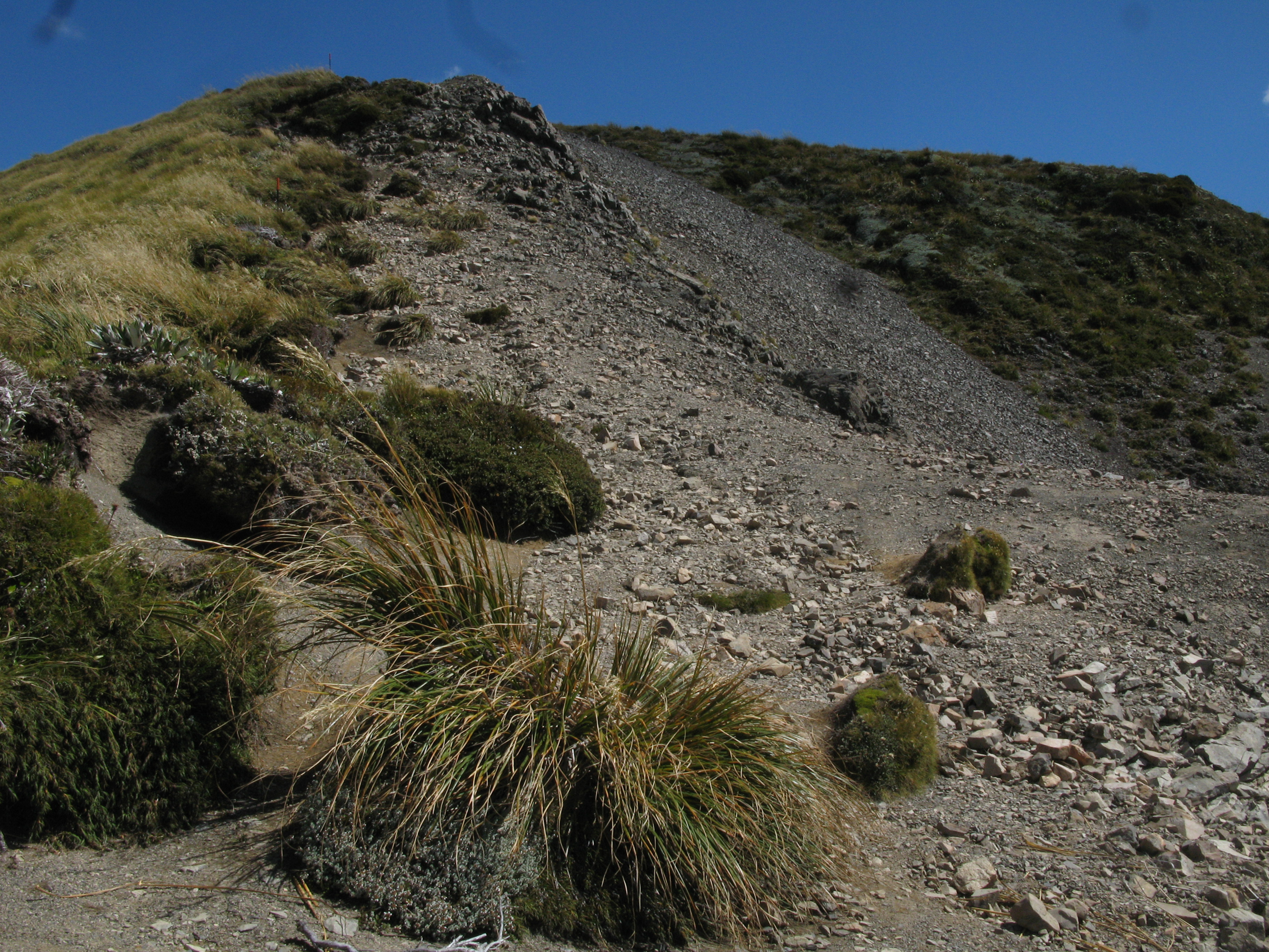
| The track was very much up hill. |
| Another view of the Devil's Punchbowl. |
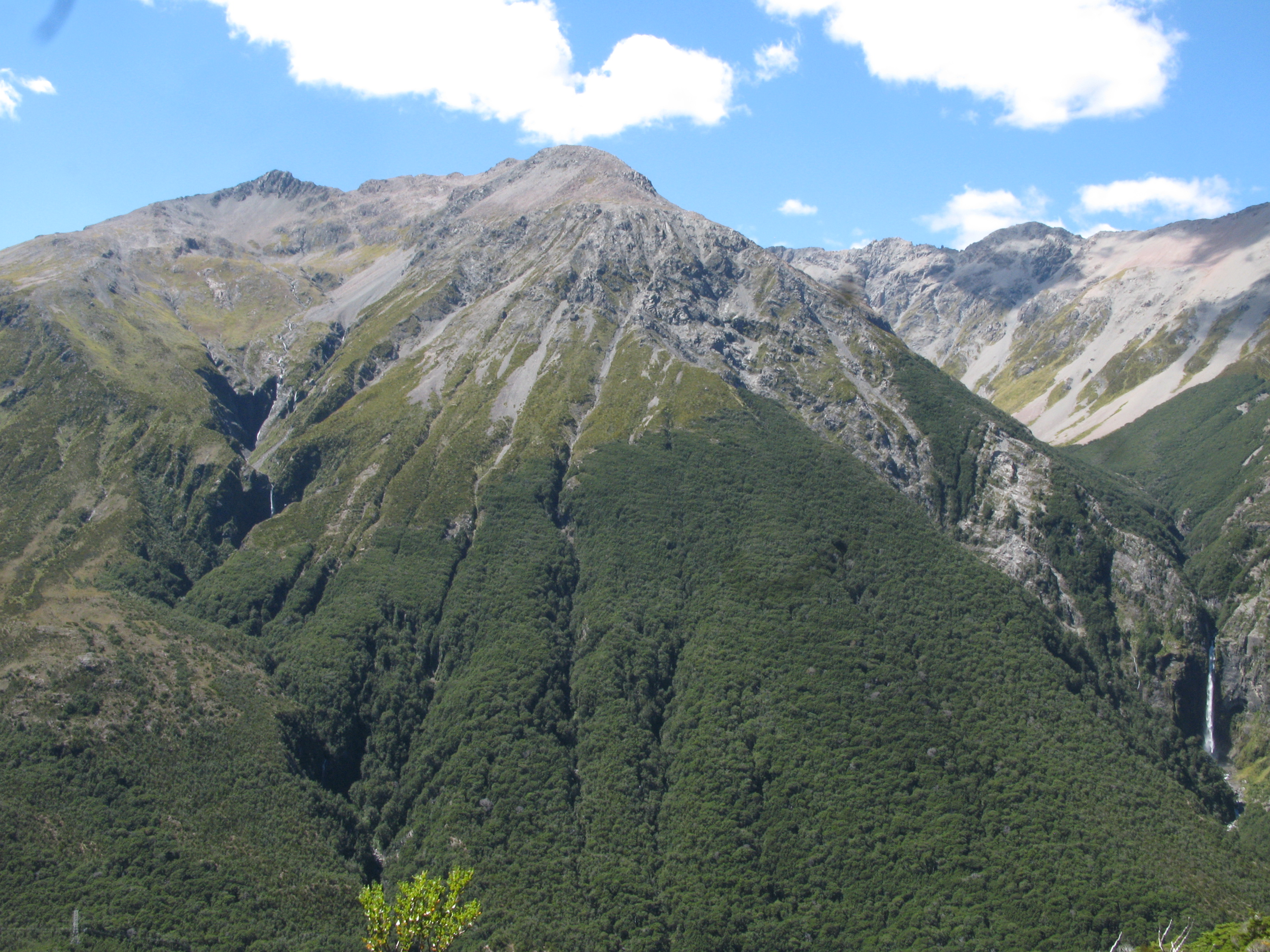
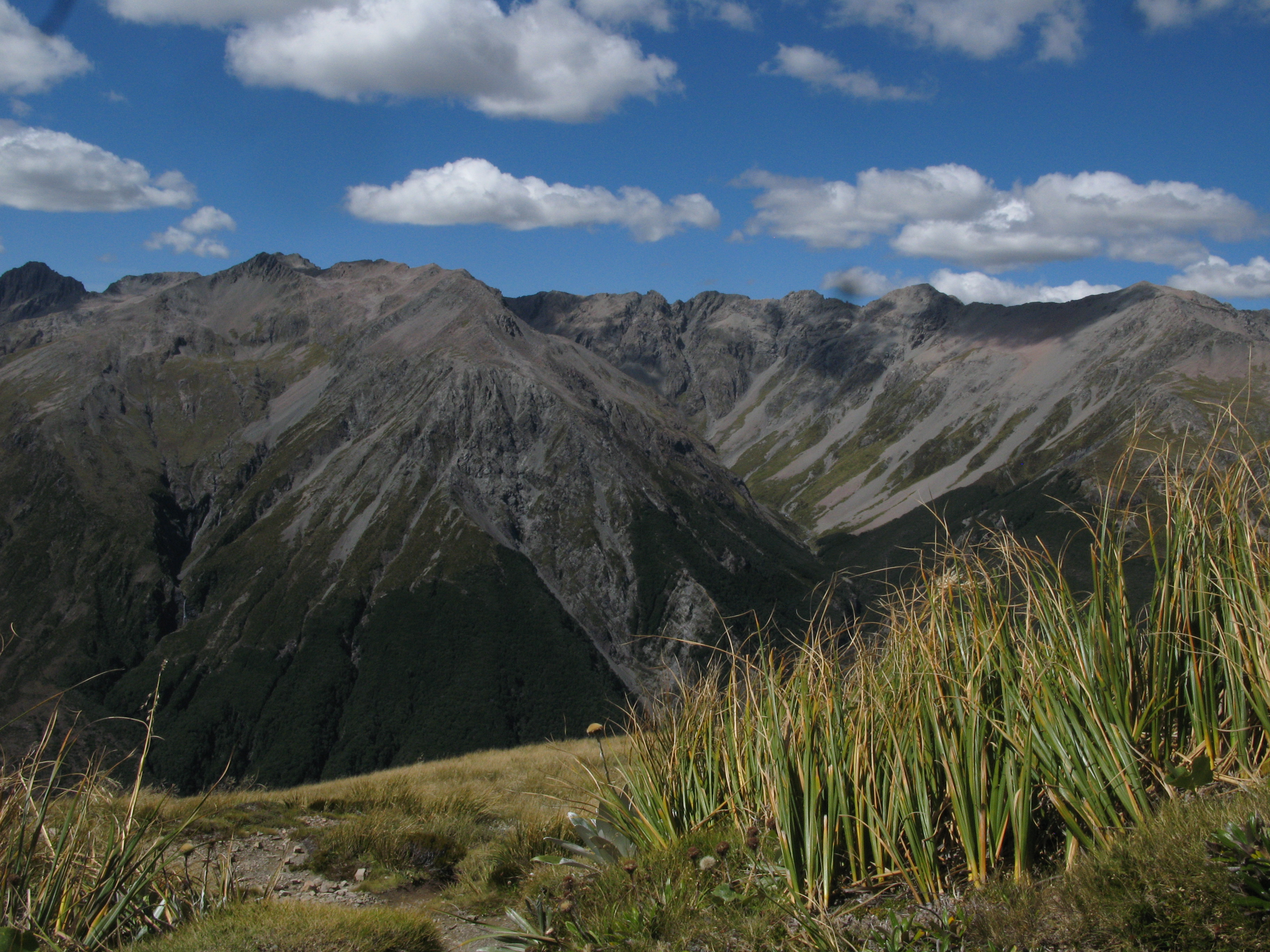
| Mount Rolleston / Kaimatau. |
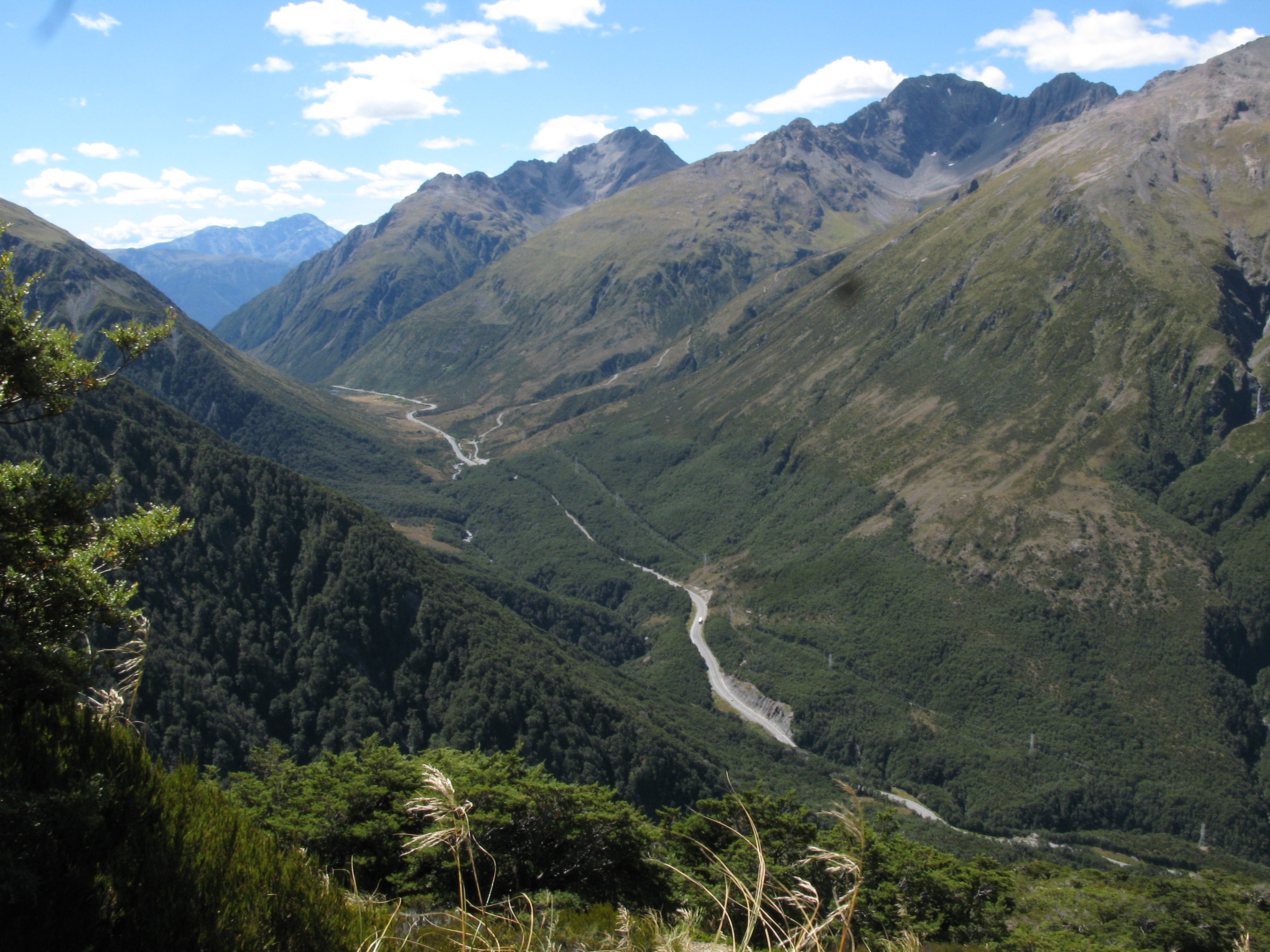
| Looking West, again. |
| High above the Punchbowl. |
| Looking West, again. |
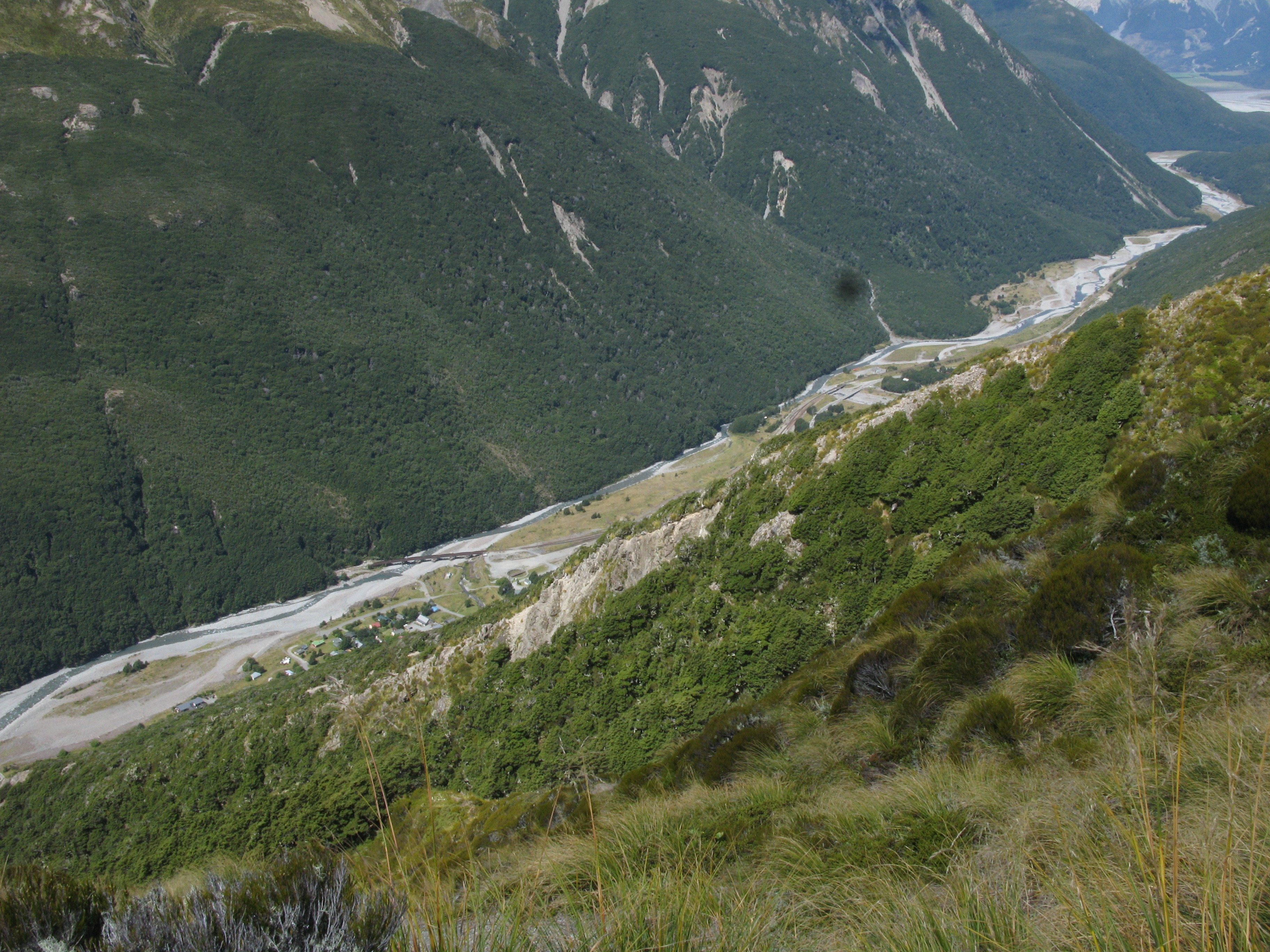
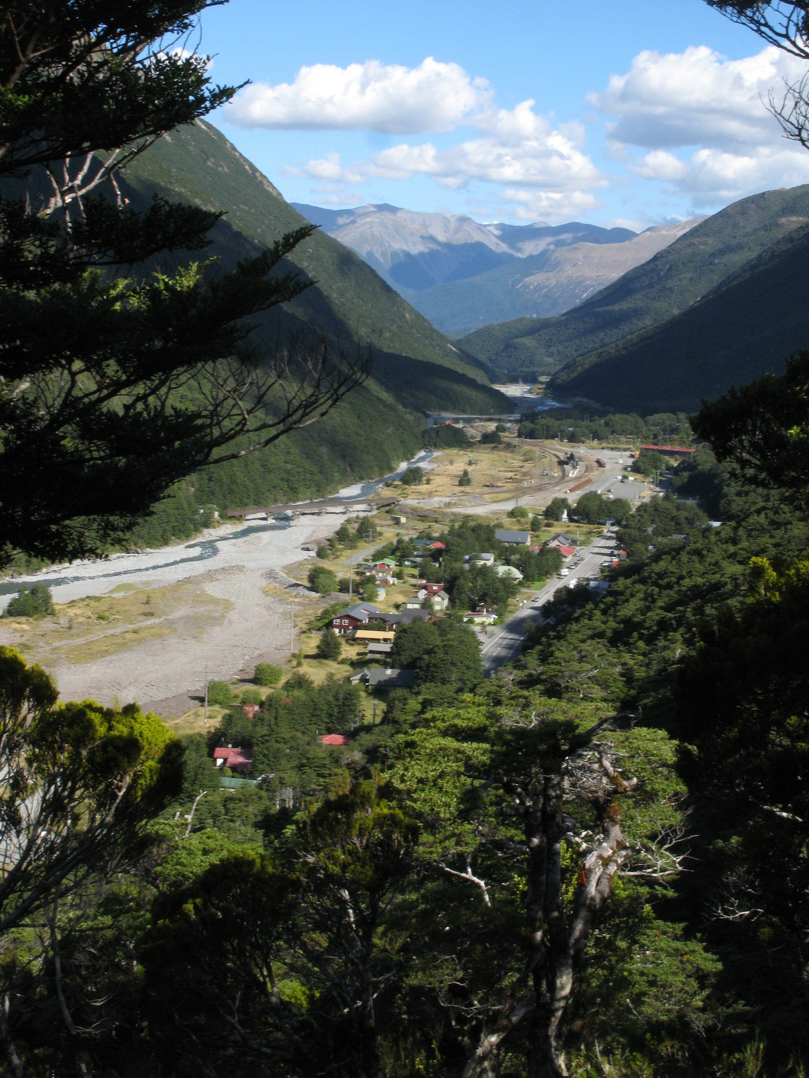
| A view of the village. Prominent also is the rail bridge across the Bealey River. Immediately after crossing the river heading north (lefward), the track enter the 8.5 km long Otira Tunnel. |
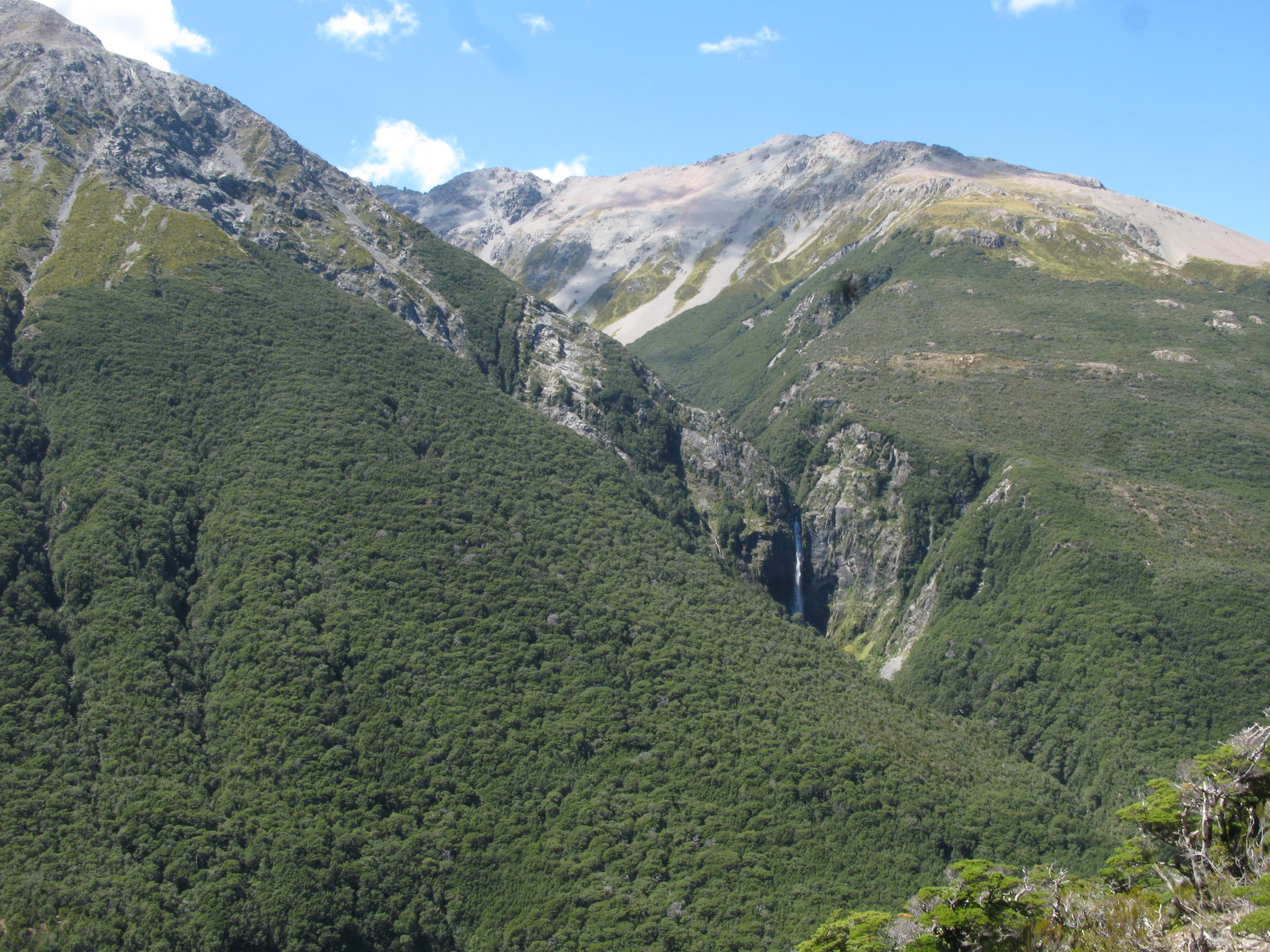
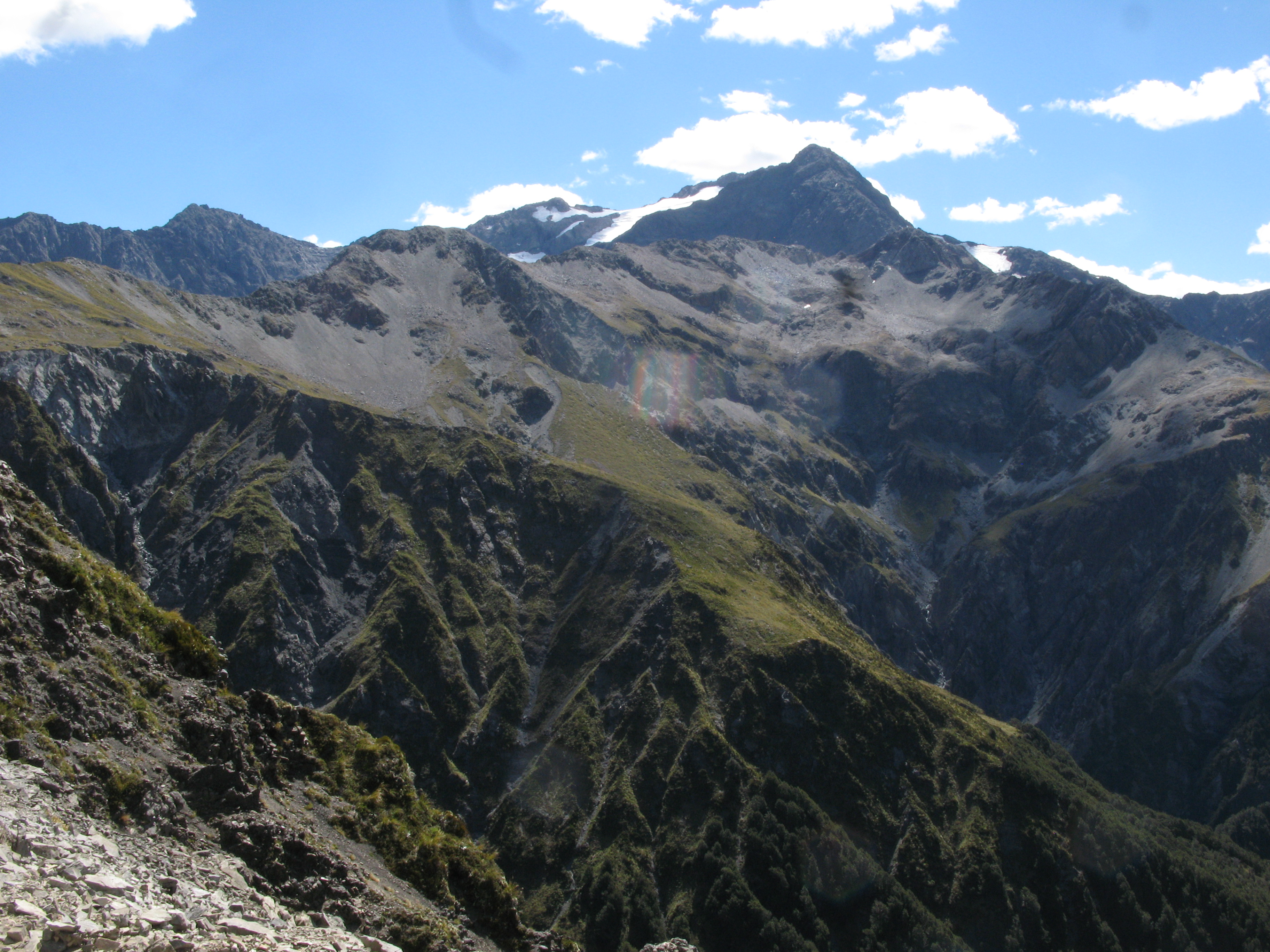
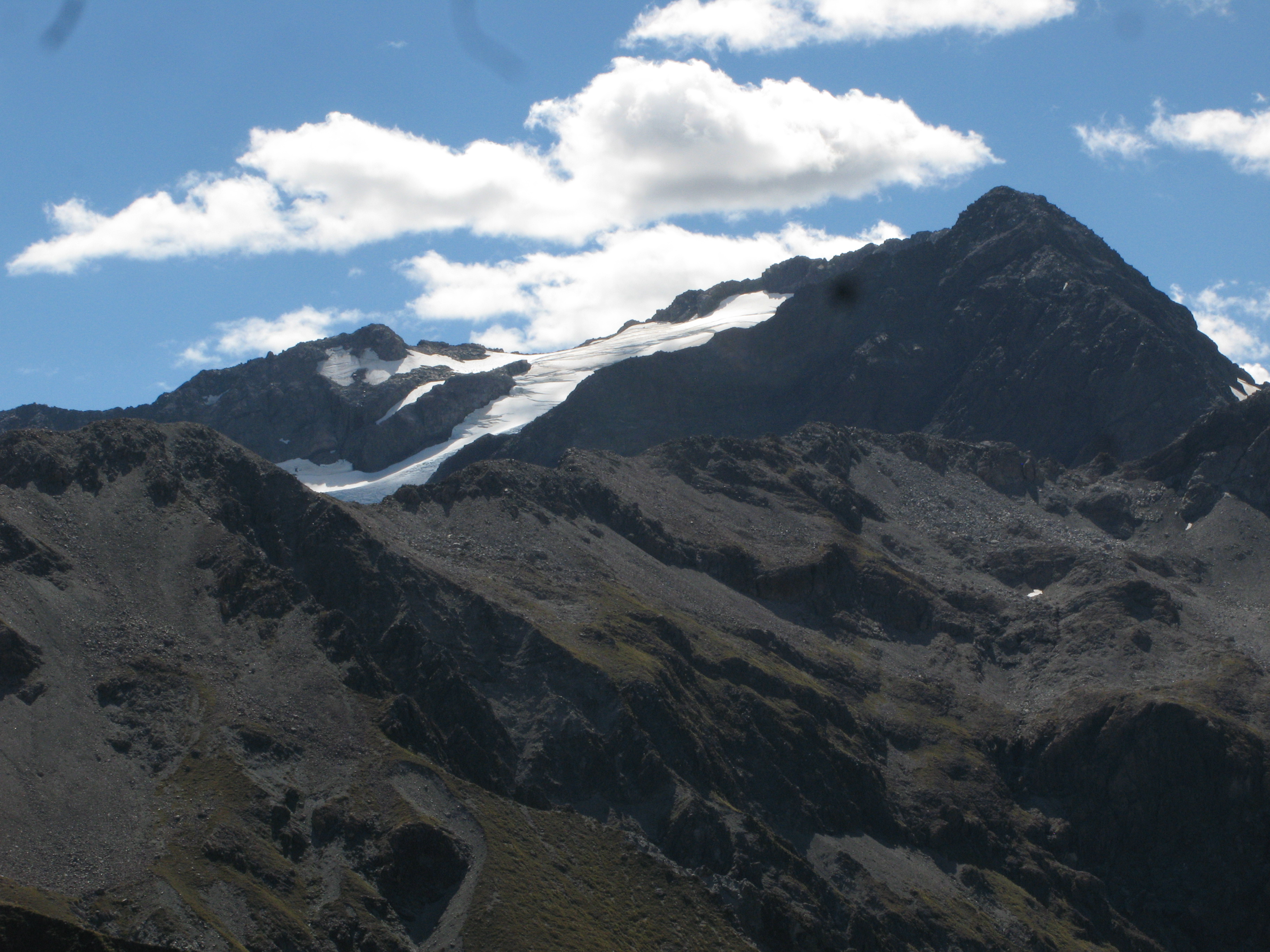
| Mount Rolleston, with the Crow Glacier on it's southern face. |
| Crossing an avalanche zone on the climb up Avalanche Peak. I guess it's not named after some guy called "Avalanche". |
| Mount Rolleston, again. |
| The view northish. The Temple Basin Ski Lodge is now visible, with Mount Temple behind it. |
| The Devil's Punchbowl Creek basin, between Mounts Cassidy and Aiken. |
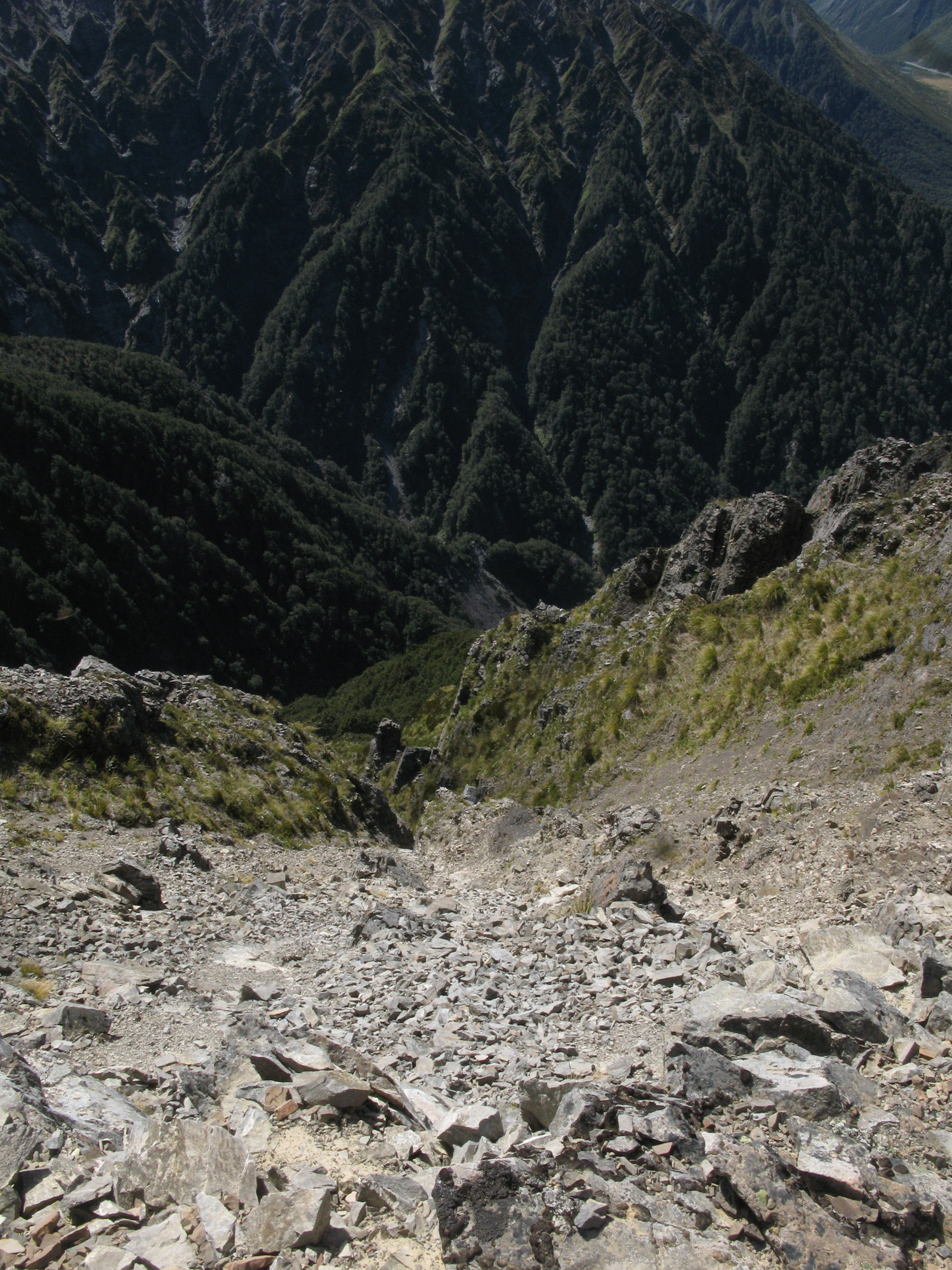
| The view down the avalanche slope. |
| The view southward towards Bealey Spur. |
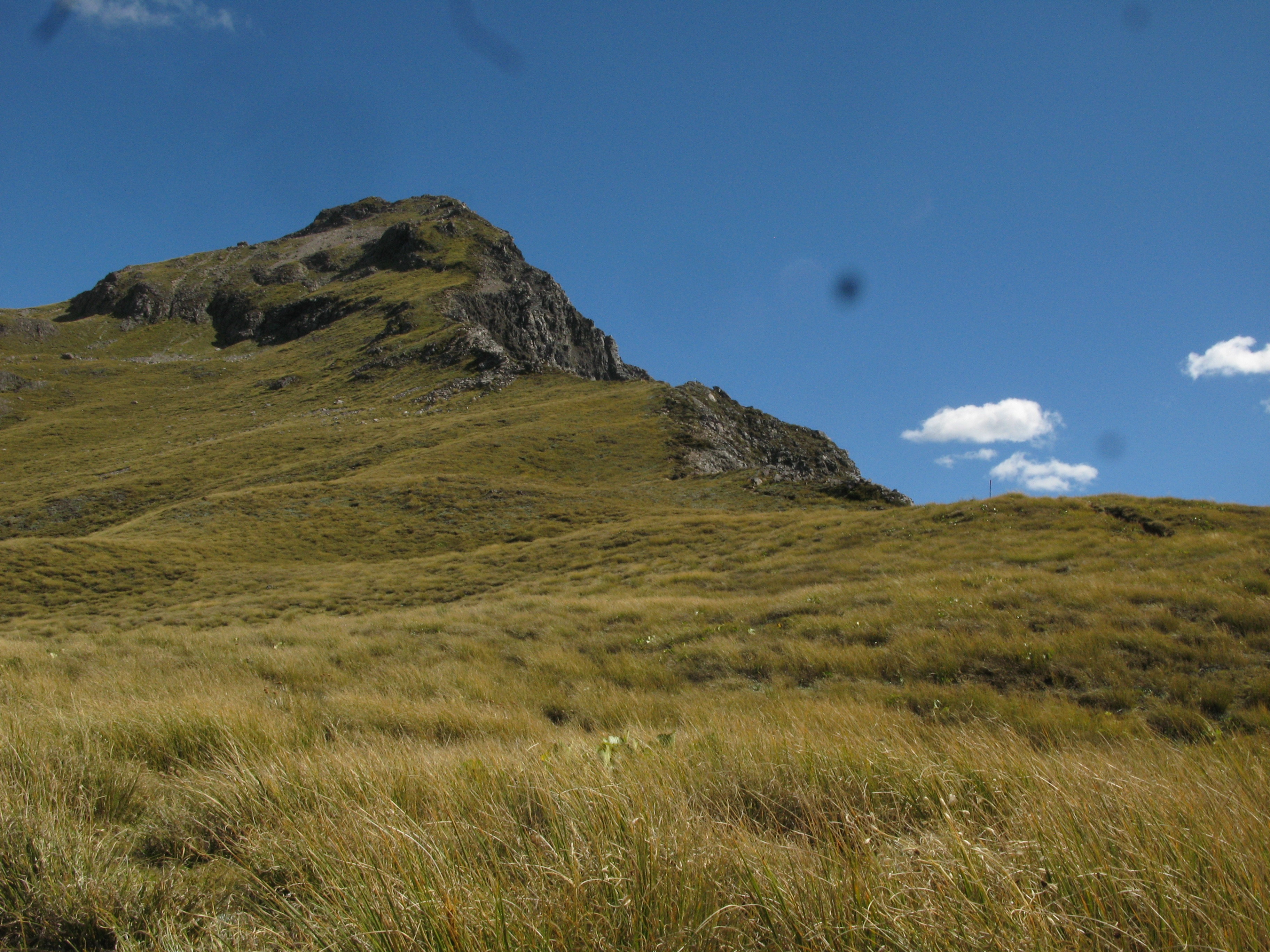
| Avalanche Peak, from the point at which I turned around. |
| Crow Glacier on Mount Rolleston. |
| Arthur's Pass village. |
| Refraction in the Devil's Punchbowl waterfall. |
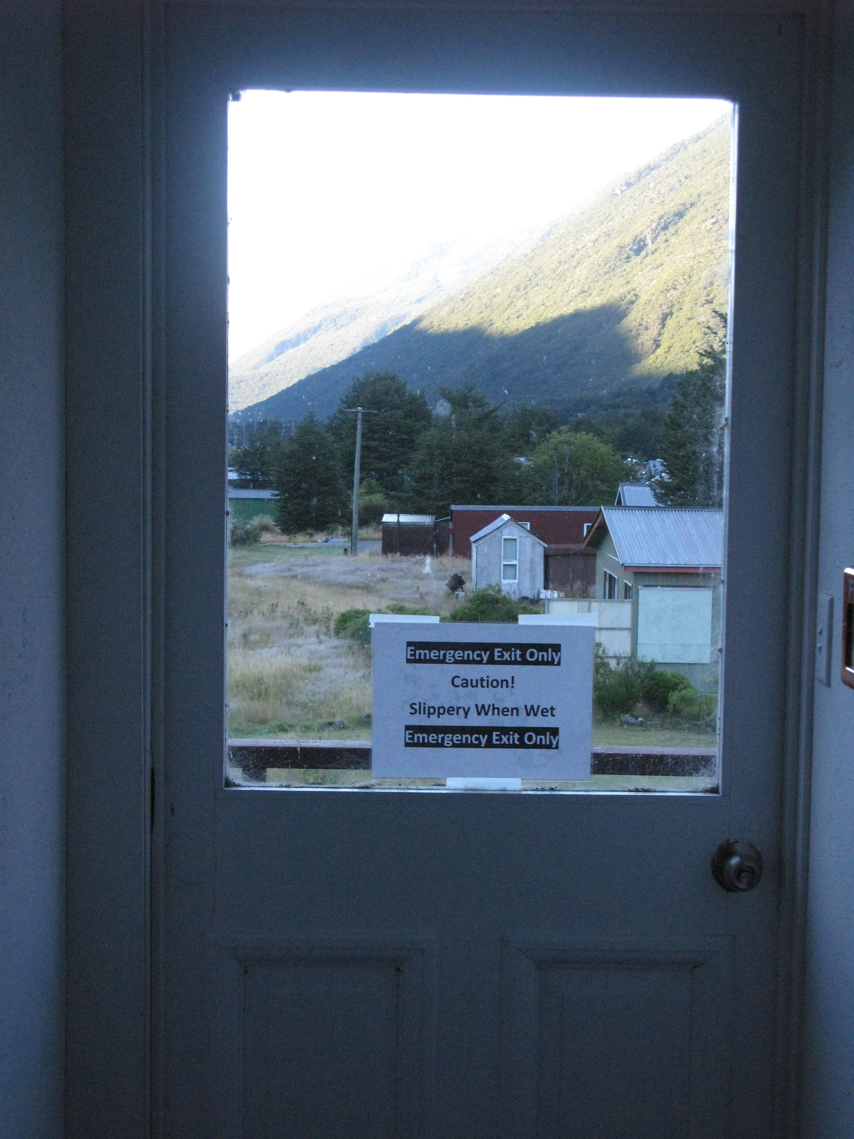
| The emergency exit at one end of the short hallway leading to my room in Arthur's Pass... |
| And the emergency exit at the other end of the hallway. Every time I wanted to leave my room I had to declare an emergency. |
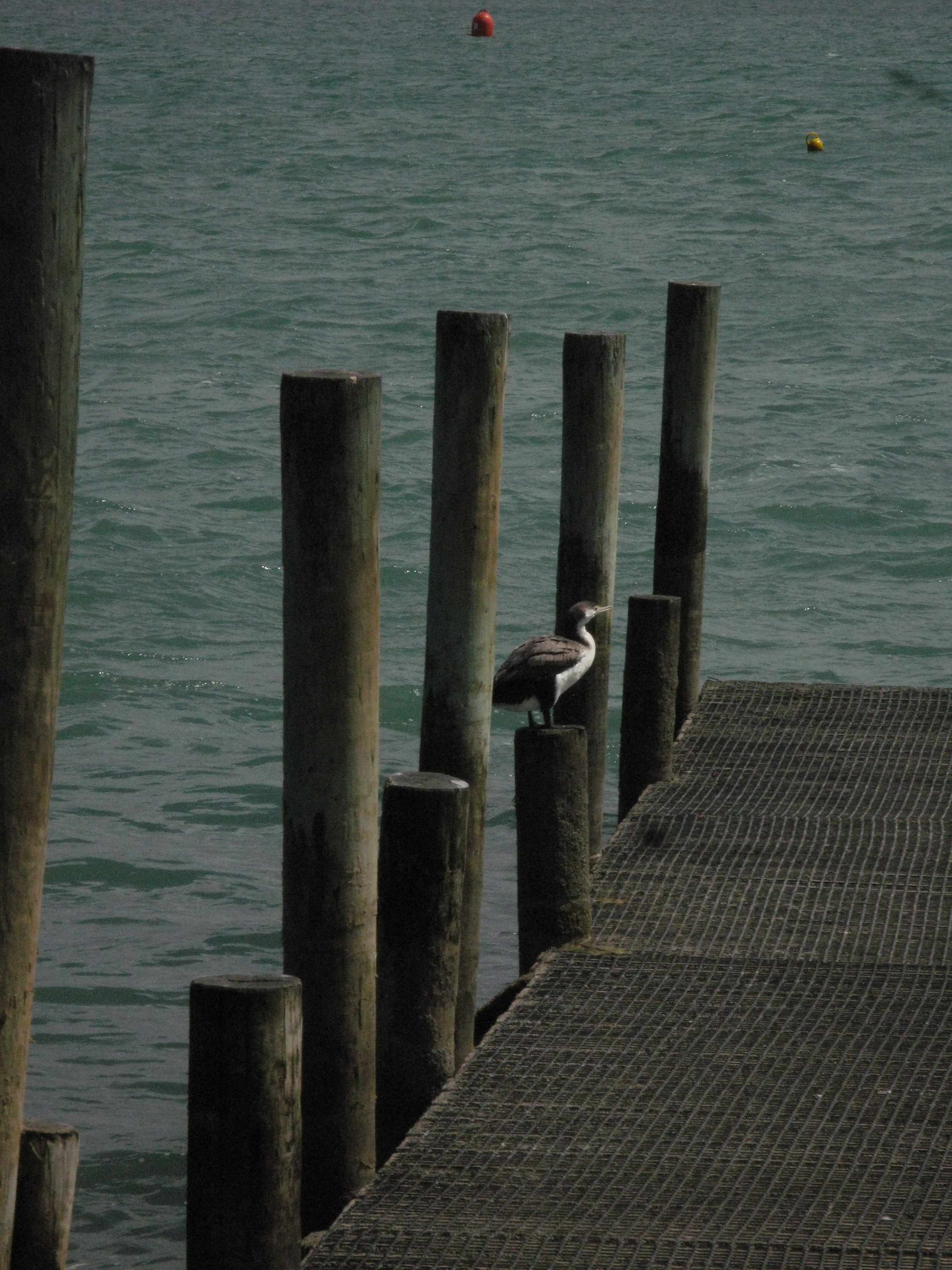
| Waterfowl in Akaroa. |
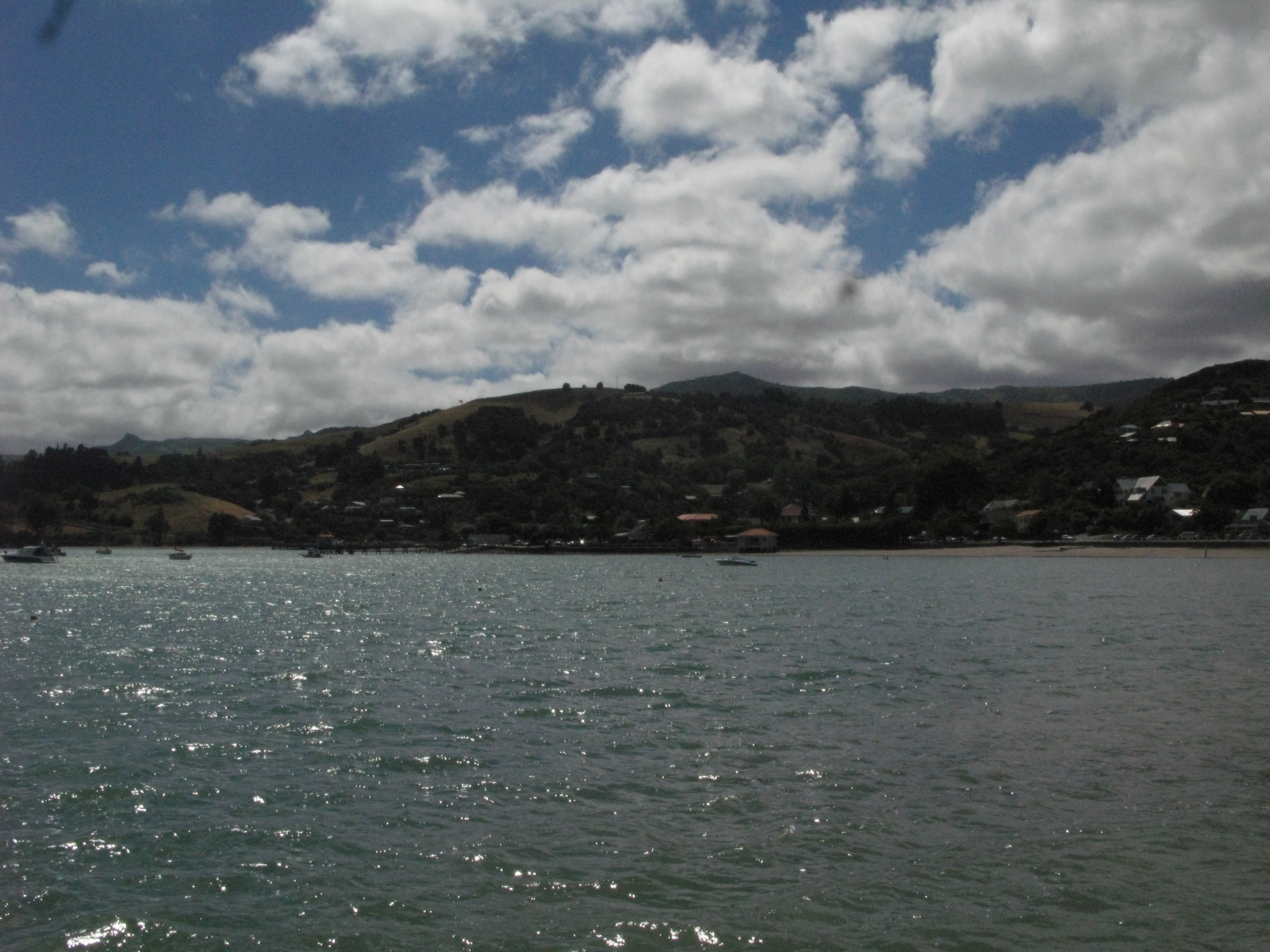
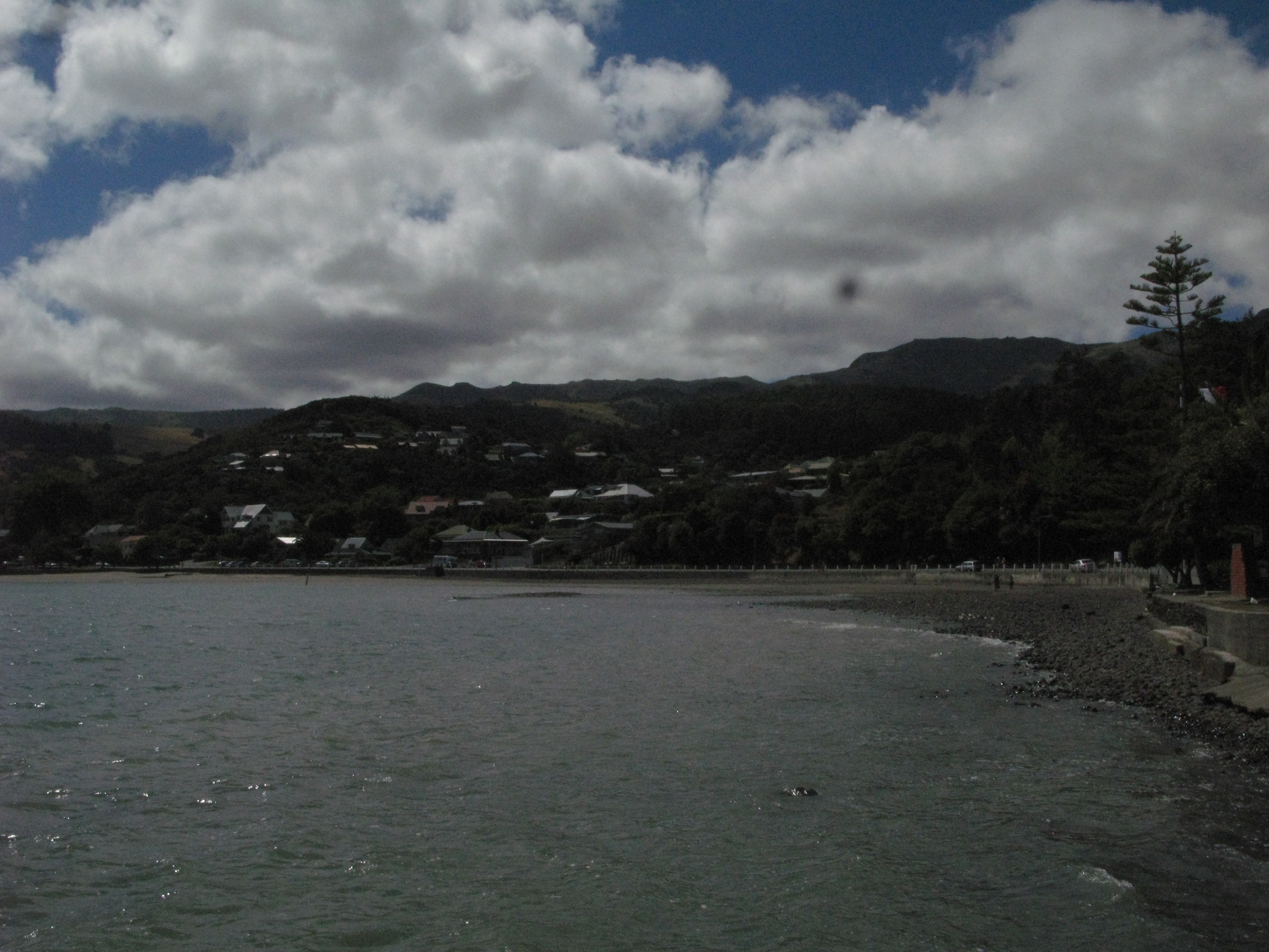
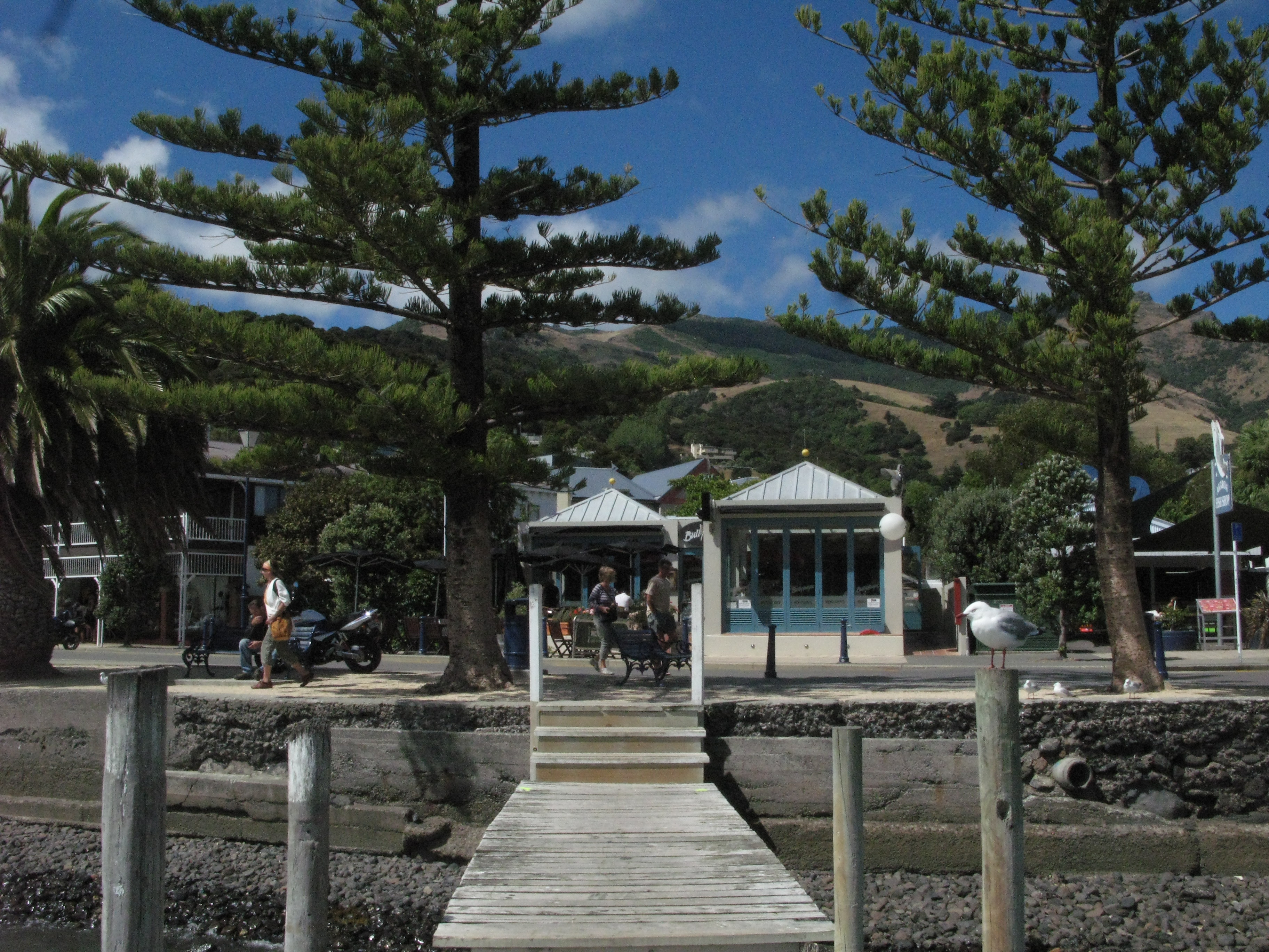
| Akaroa. |
| Akaroa. |
| Akaroa. |
| Akaroa. |
| Akaroa. |
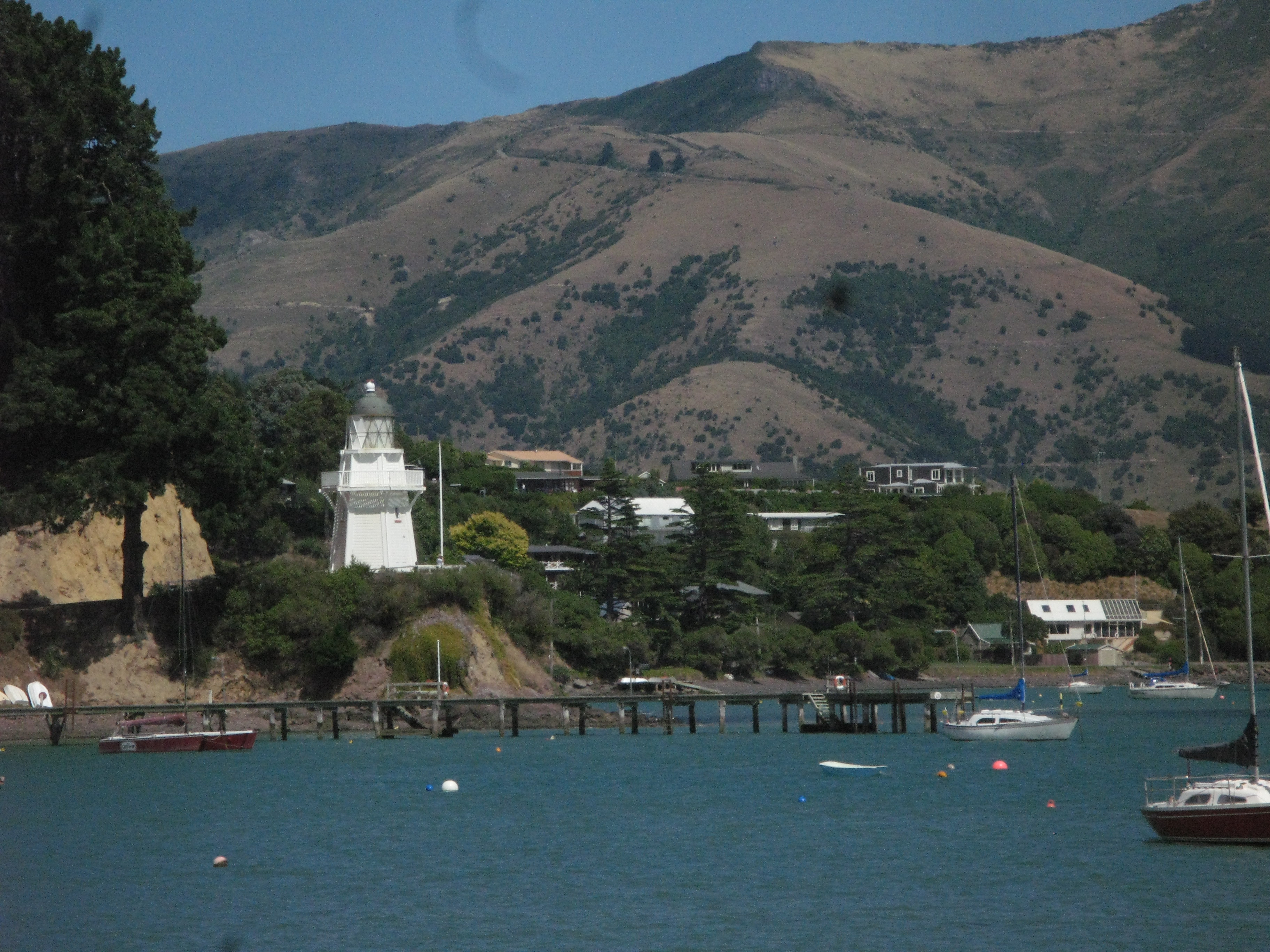
| Akaroa lighthouse. |
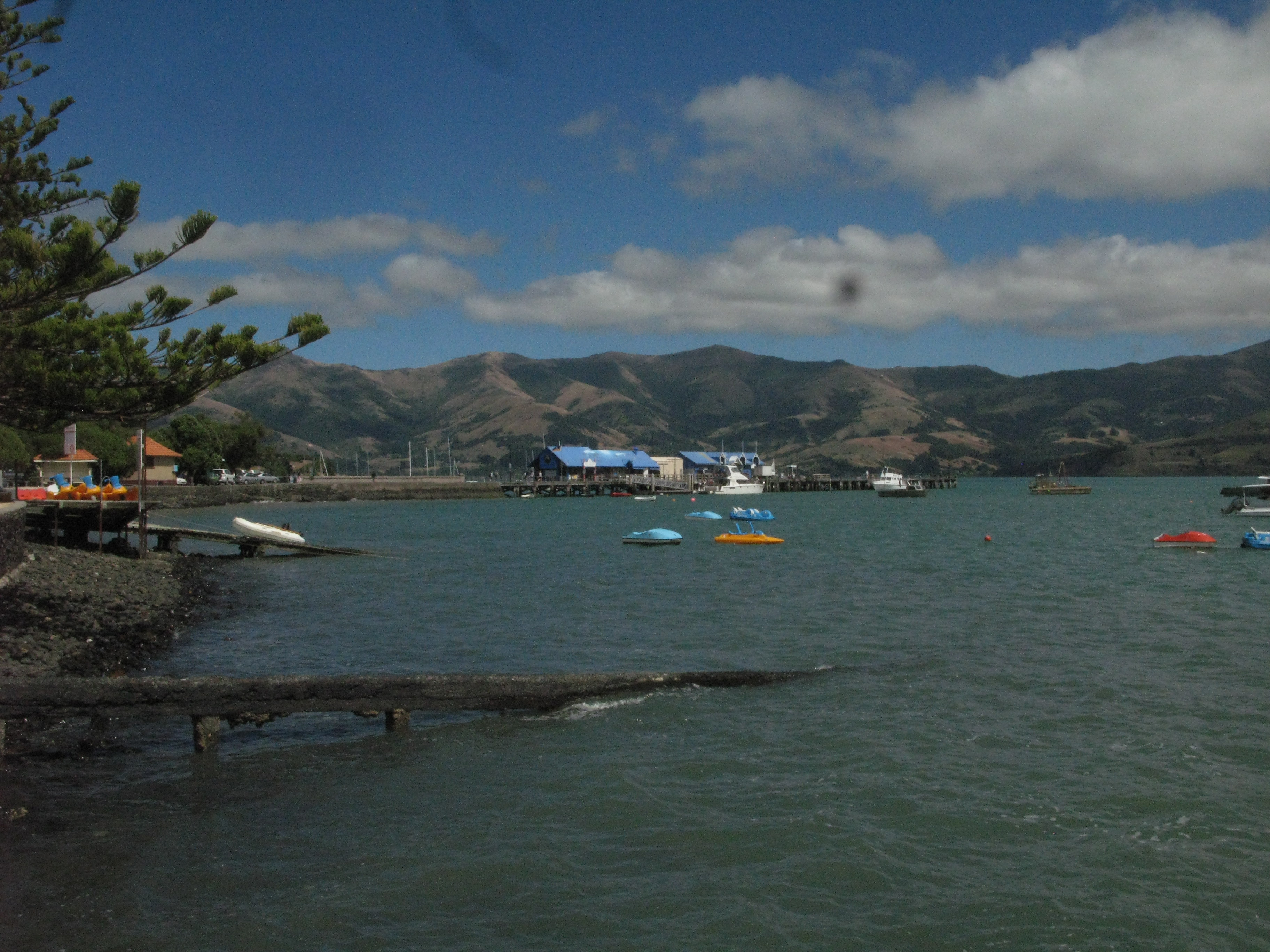
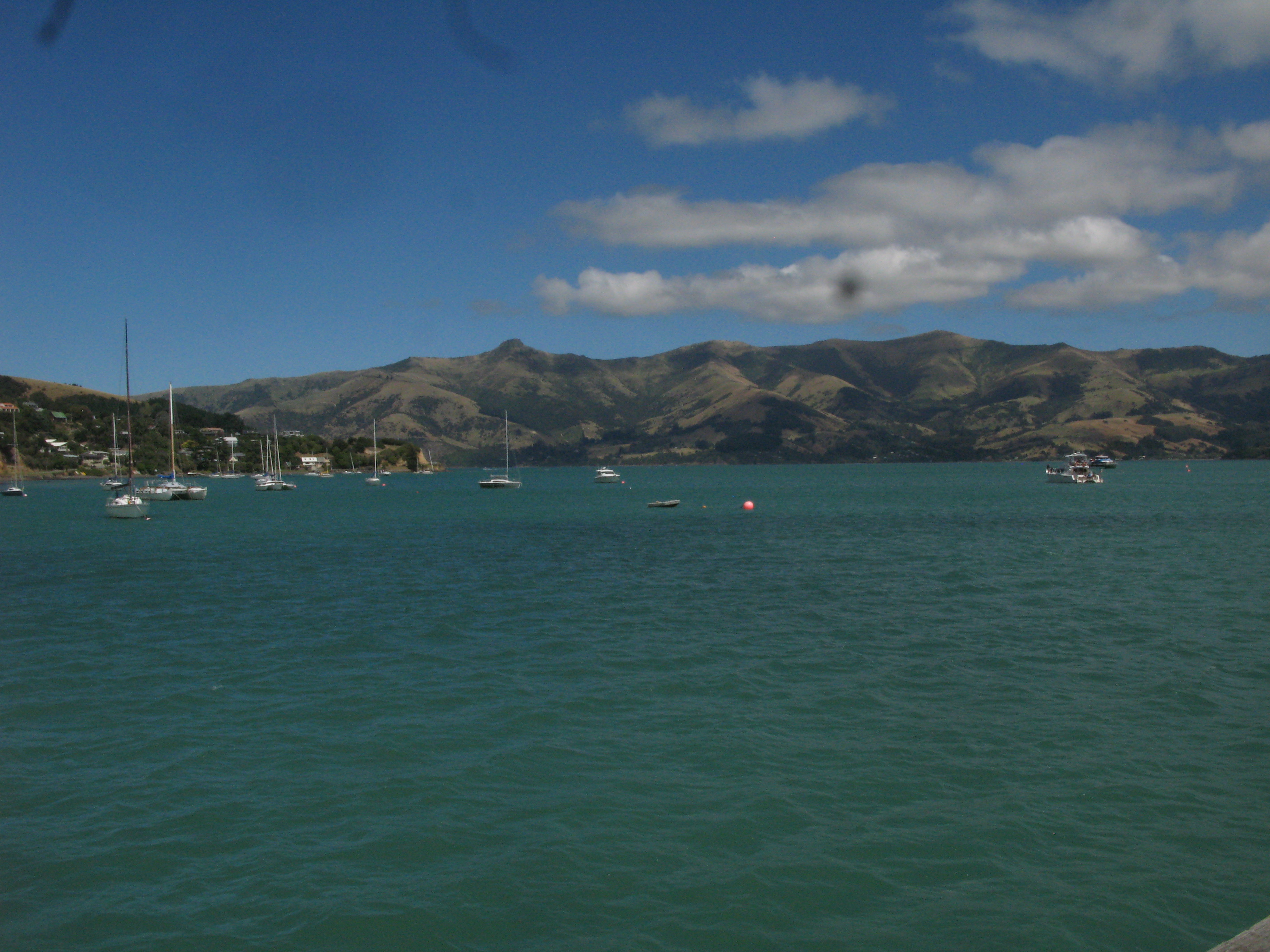
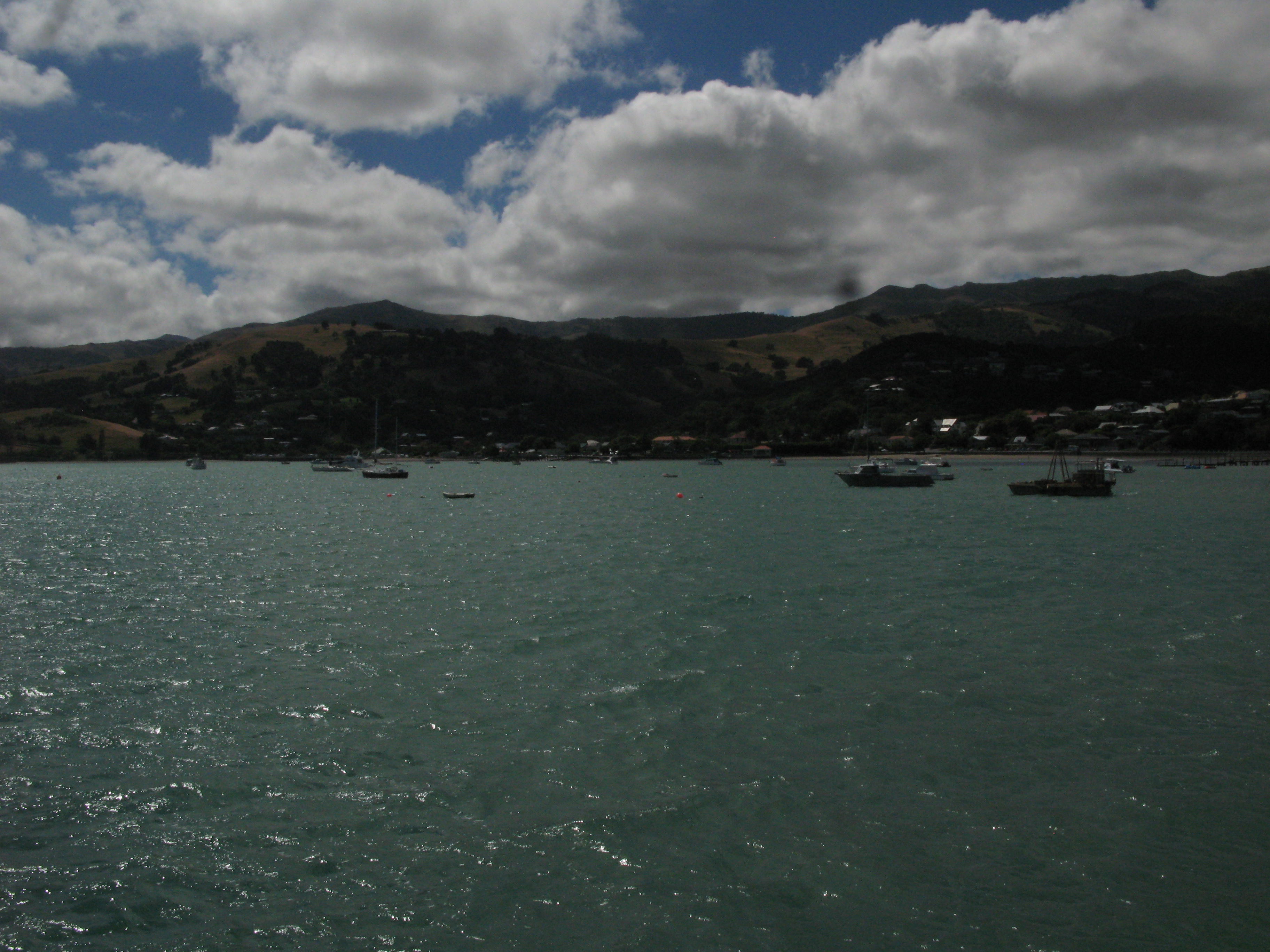
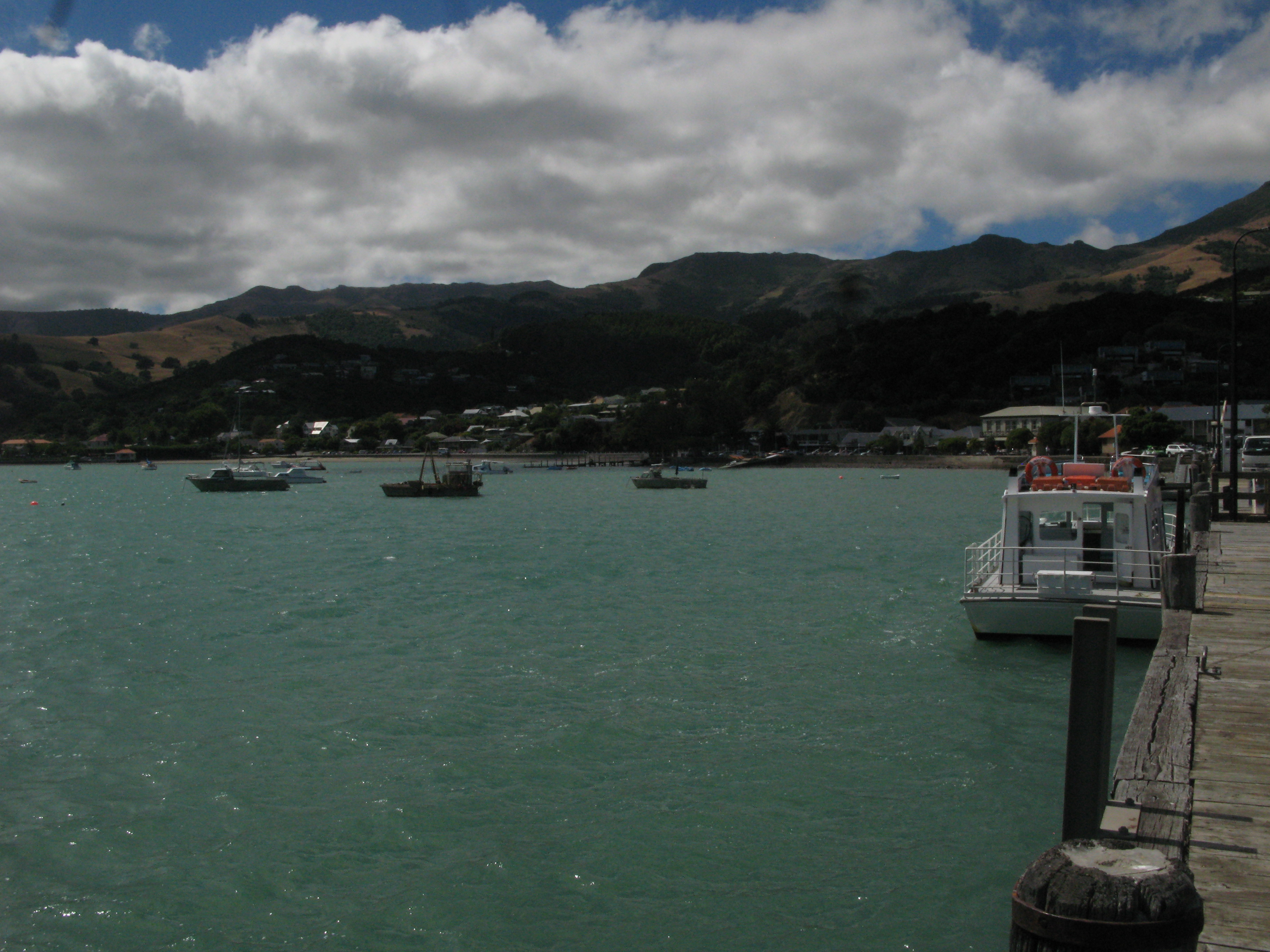
| Akaroa harbour. |
| Akaroa harbour. |
| Akaroa harbour. |
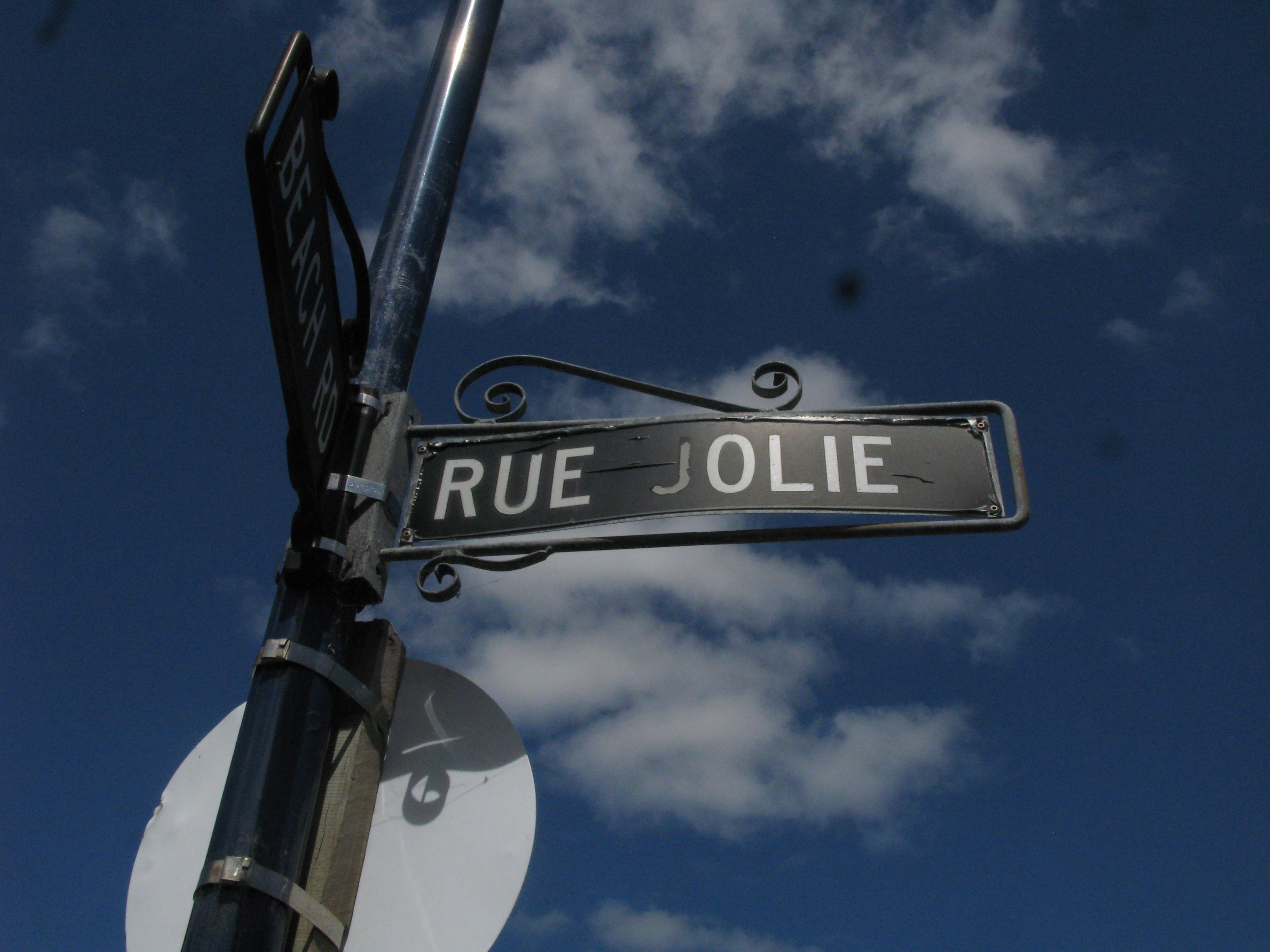
| Akaroa: it's Frenchish. (The gas station had a big sign proclaiming "D'Essence".) |
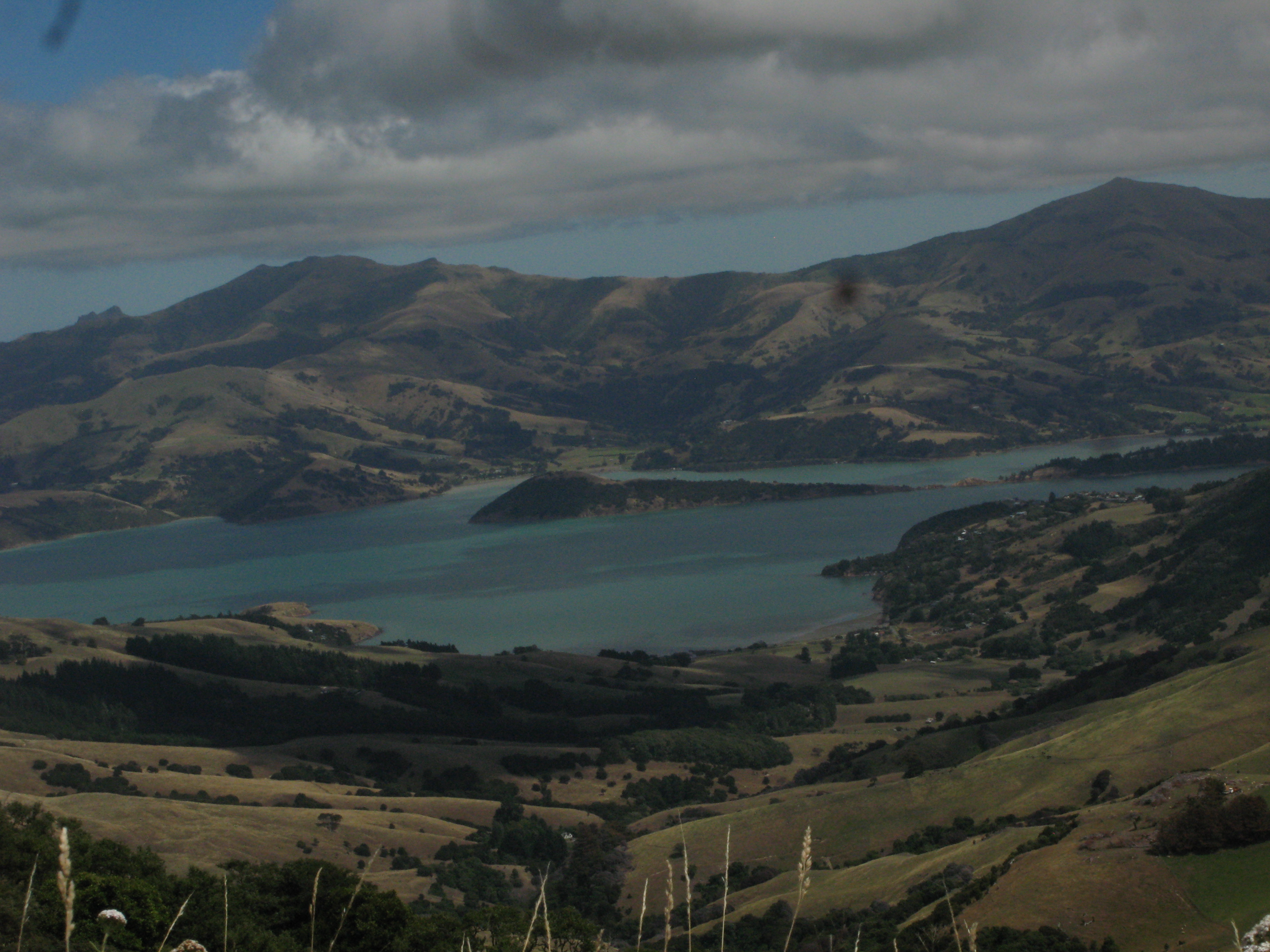
| Akaroa harbour from the Summit Road. The village at right is Duvachelle. The Summit Road is a great one for panoramic views of the Banks Peninsula. Unfortunately, there are too few places on the road where the verge is wide enough and flat enough to stop, that it's hard to get pictures. |
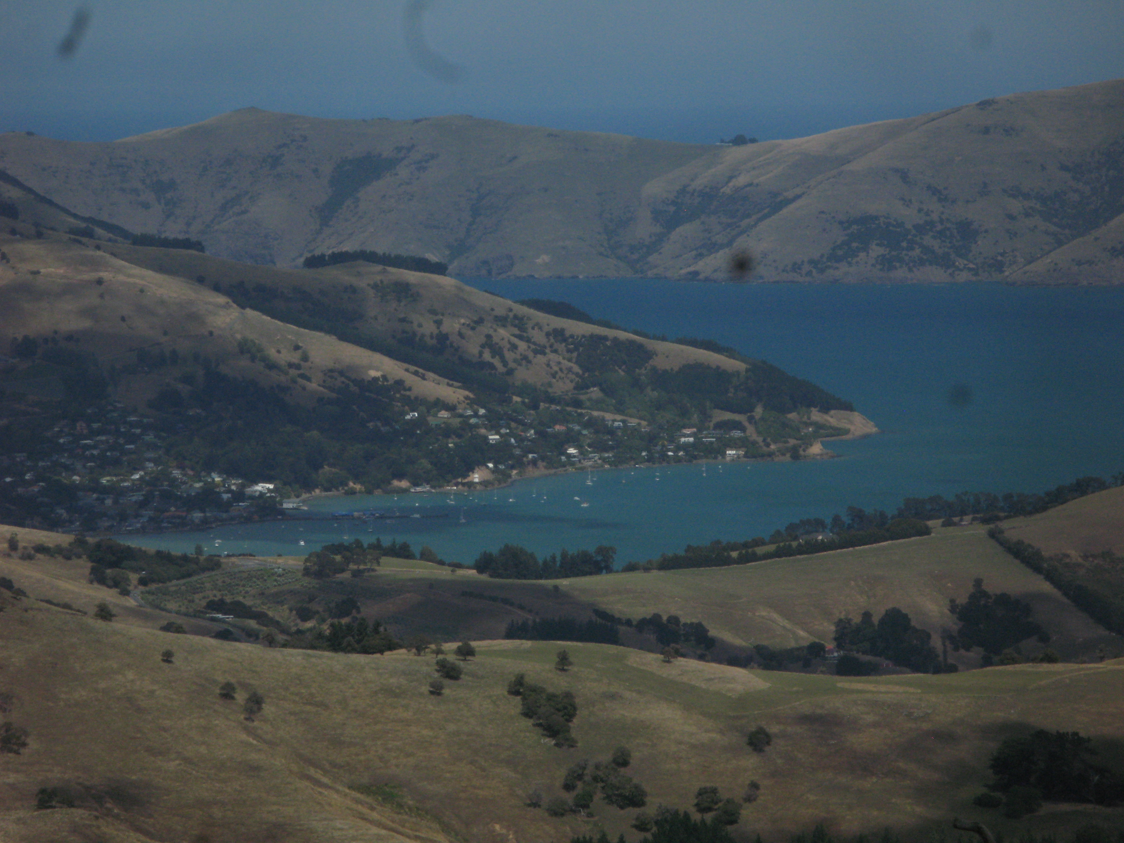
| Takamatua on Akaroa harbour from the Summit Road. Akaroa itself is just on the other side of the slope. |
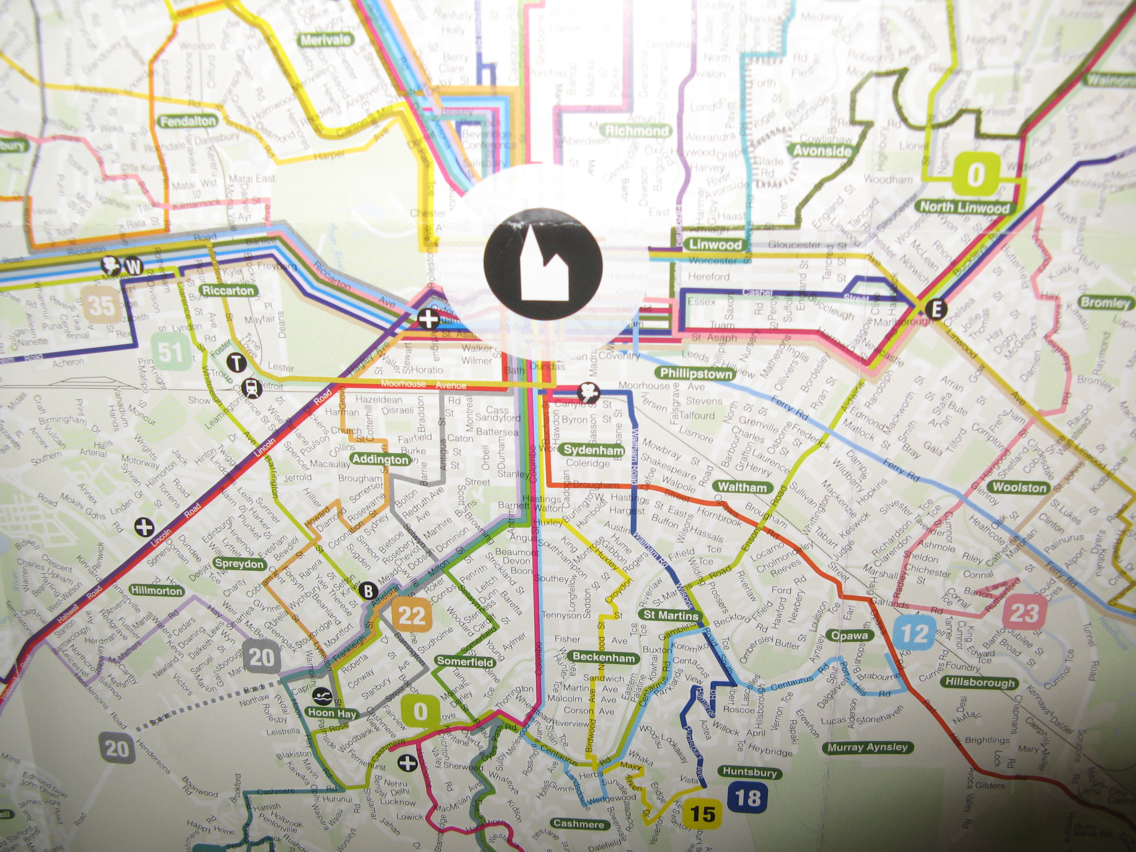
| Christchurch: the only city I know with a bus route number zero. |
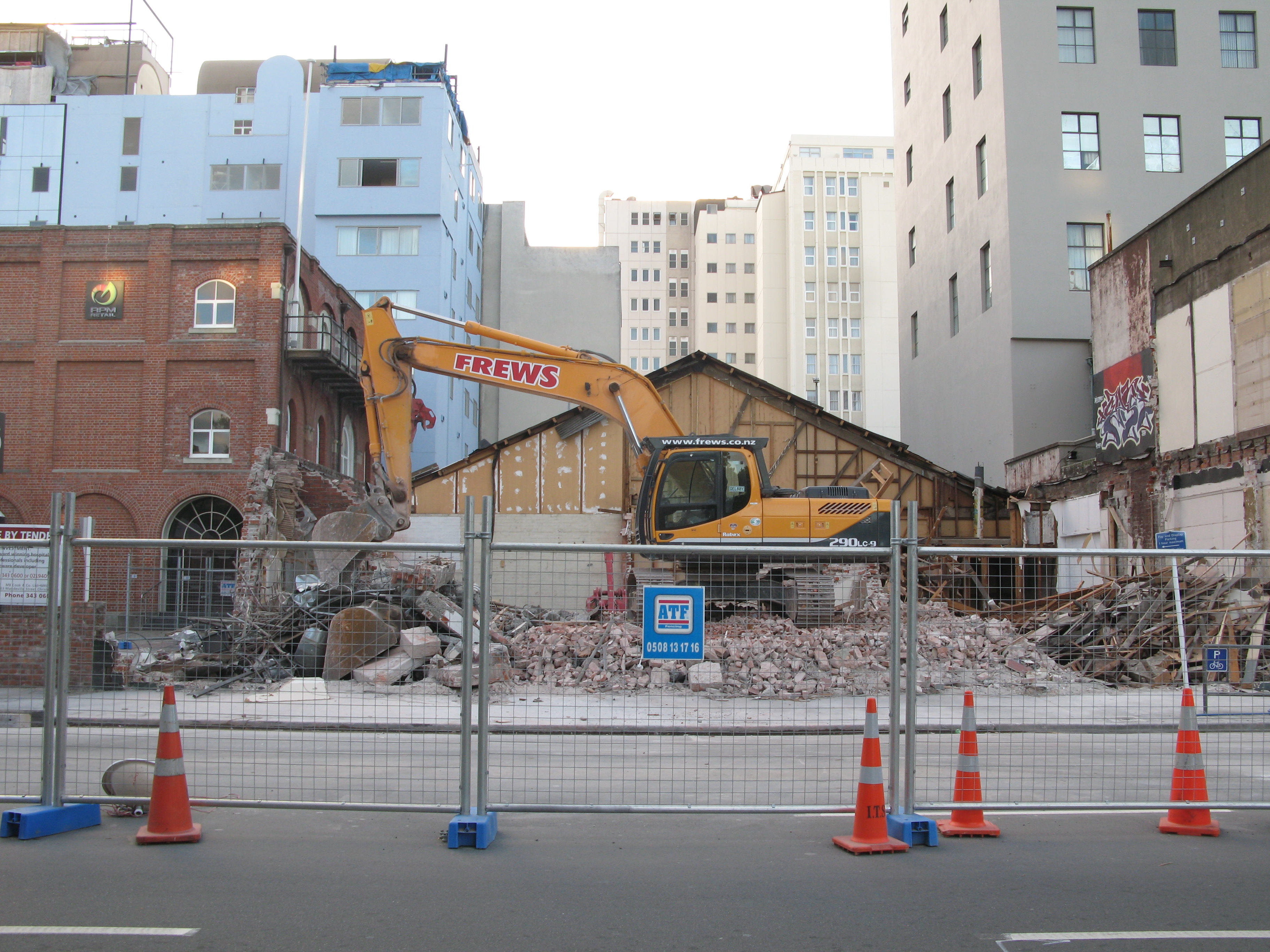
| Demolition continues in central Christchurch. |
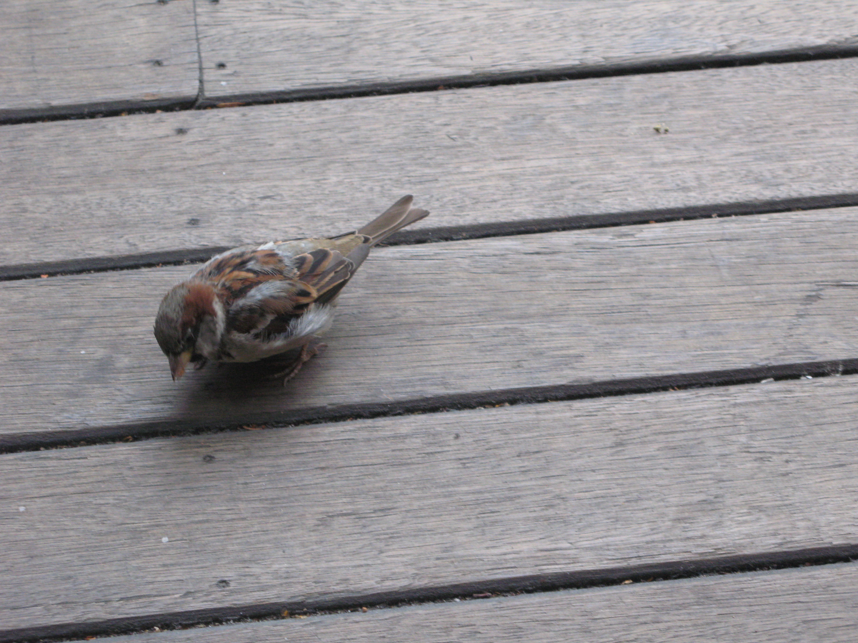
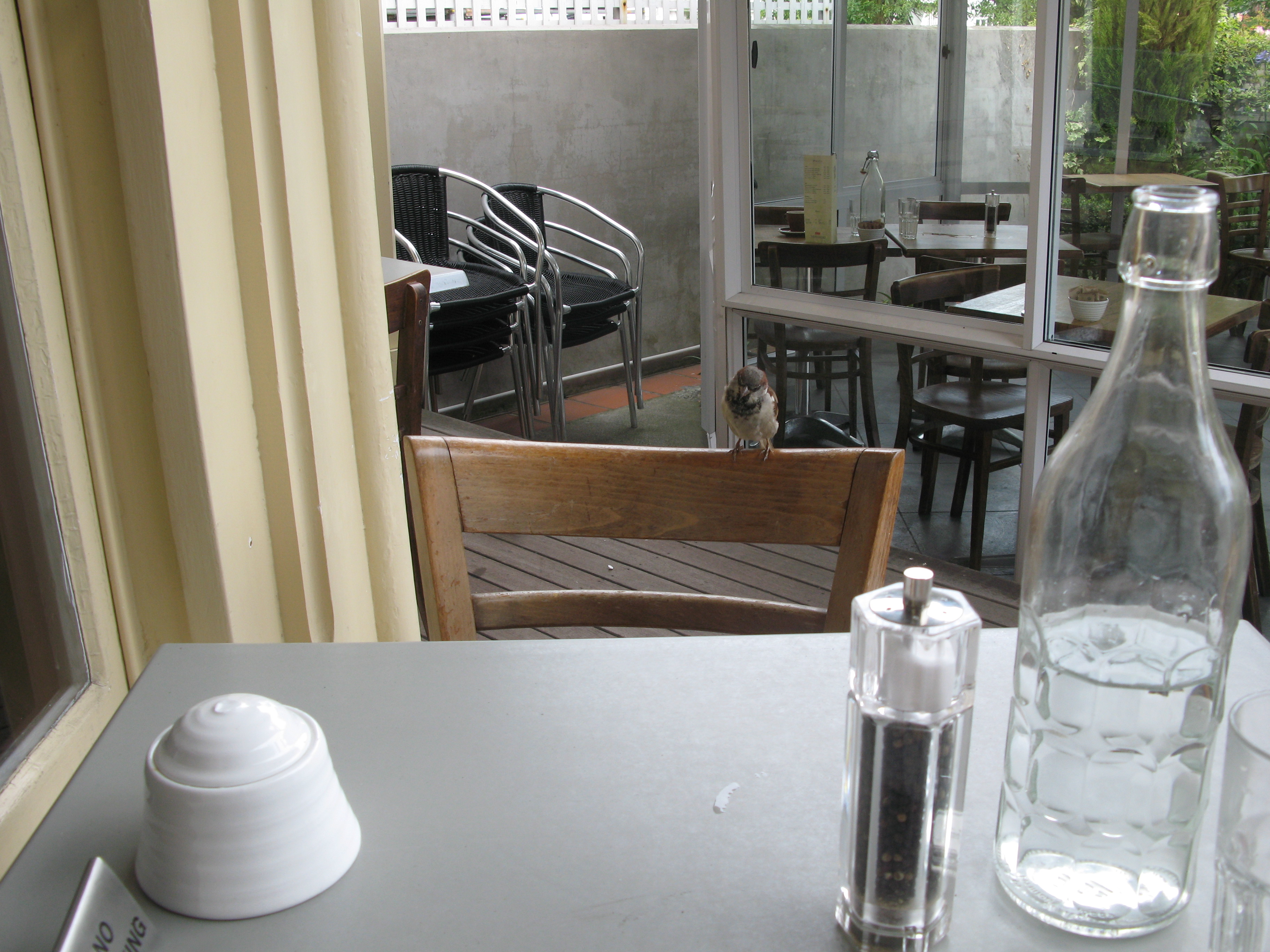
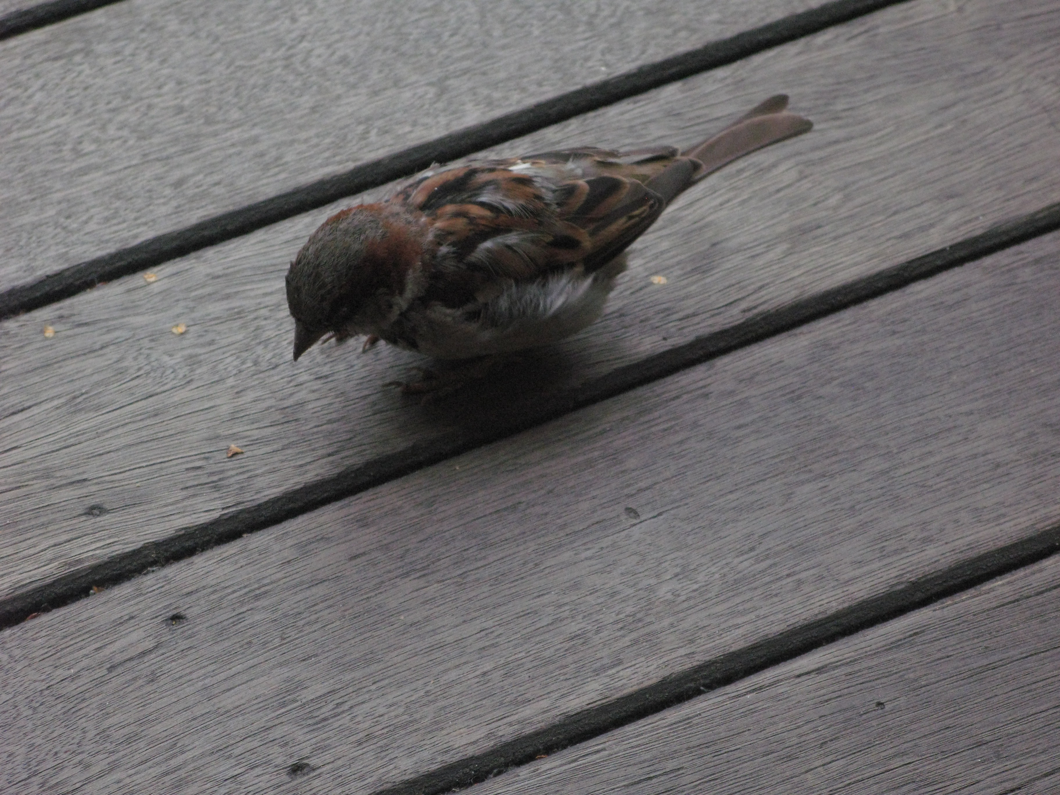
| A visitor at breakfast. |
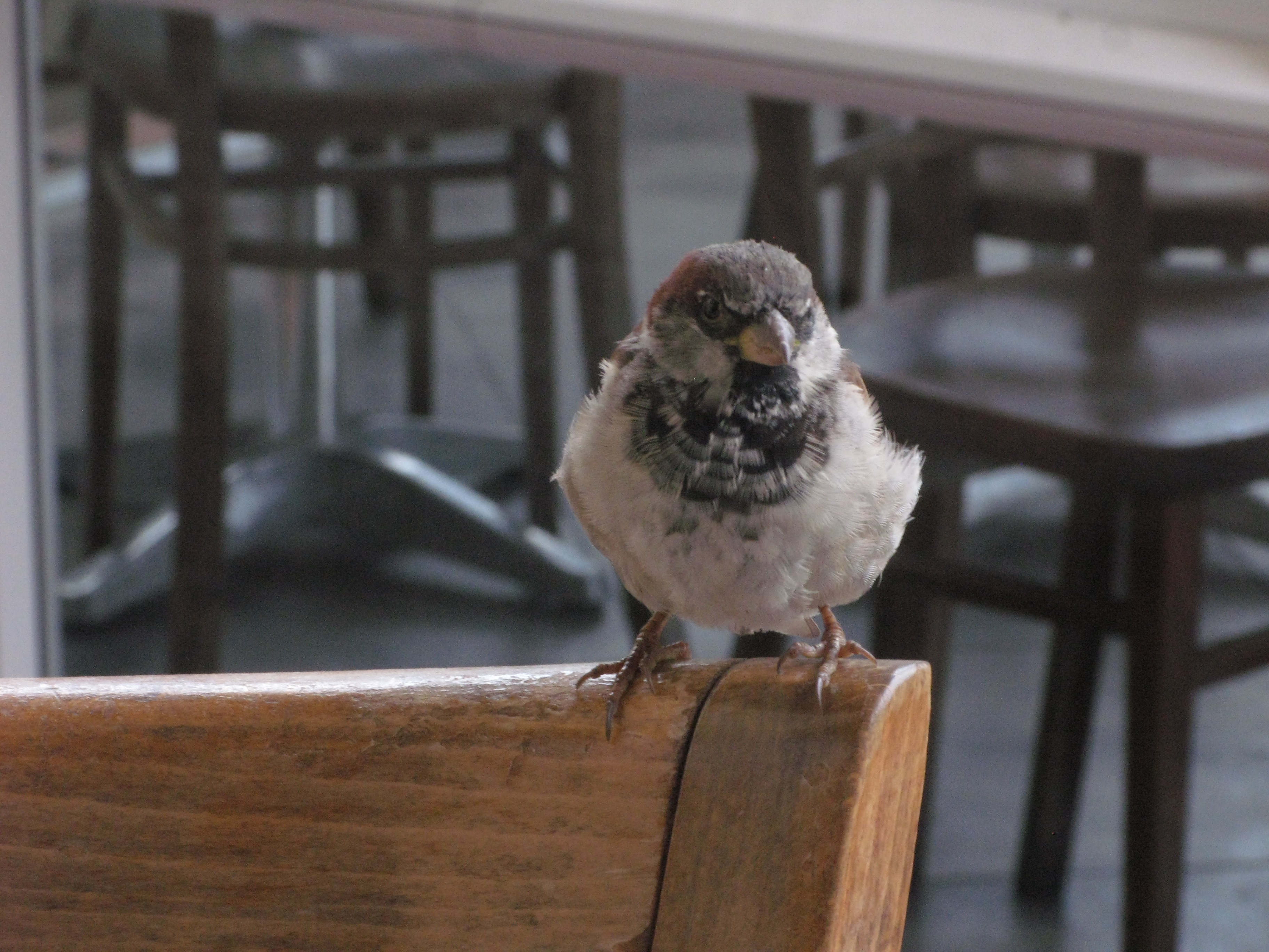
| A visitor at breakfast. |
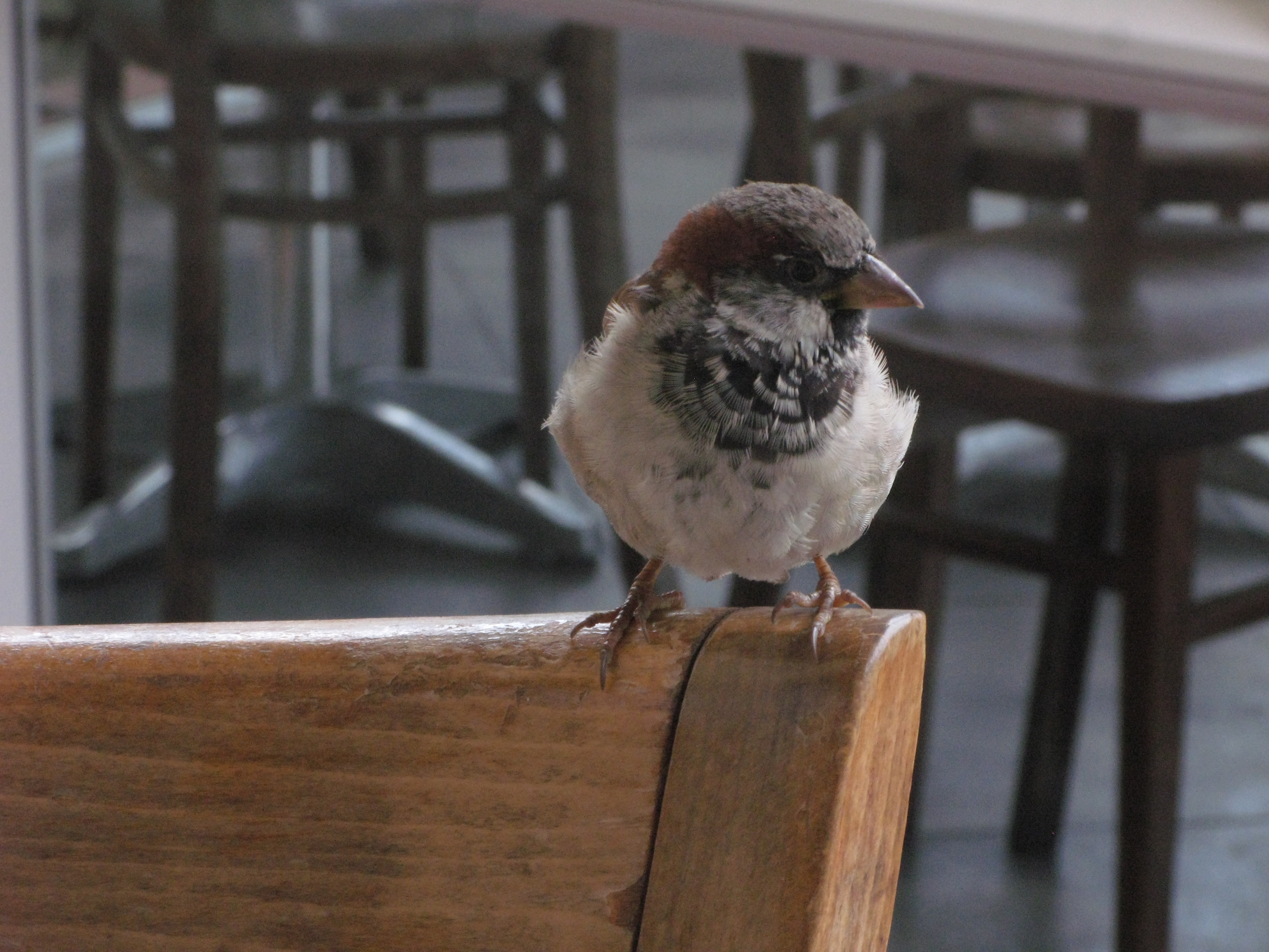
| A visitor at breakfast. |
| A visitor at breakfast. |
| A visitor at breakfast. |