


| |
| (15202x2143, 33382 kb) Another panorama, this one of BLAST central. This was taken Monday night before the launch attempt. From left we have Gaelen's laptop (redshift), the round table which holds the printer, boromir (which is running Orbiter Sim), galadriel (where I sit), Ed, with David, working on schedule files (as usual), Enzo's laptop, the star camera monitors in the corner, the SIP Simulator laptop (which interfaces with some of the equipment in Palestine, denethor, Barth's laptop, eowyn (where Barth sits), Matt's laptop (cherry), Subaru (where Matt sits), bert (where Mark sits), bill, Jeff (doing Jeffish things), and tom. Image composition didn't go as well as I had hoped, as everything is rather near field, but I don't think I'll be redoing it. | |
| An odd telephone warning. |
| Matt fills the nitrogen purge tank. |
| Matt fills the nitrogen purge tank. Boil off from the nitrogen in this well insulated tank is piped up and blown over the cryostat window to keep it from icing over. |
| Ed exhausted from making schedule files. |
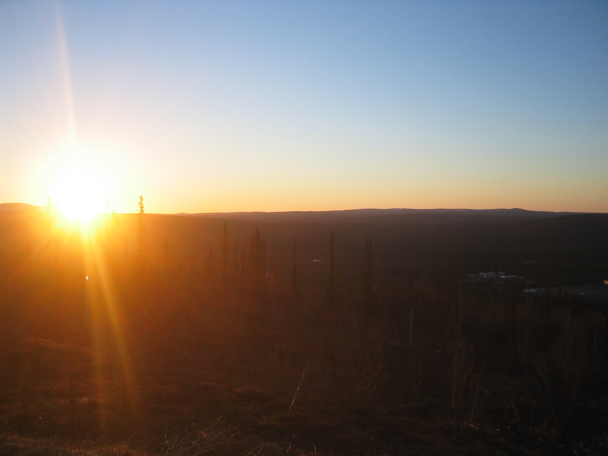
| The midnight sun from atop Radar Hill. |
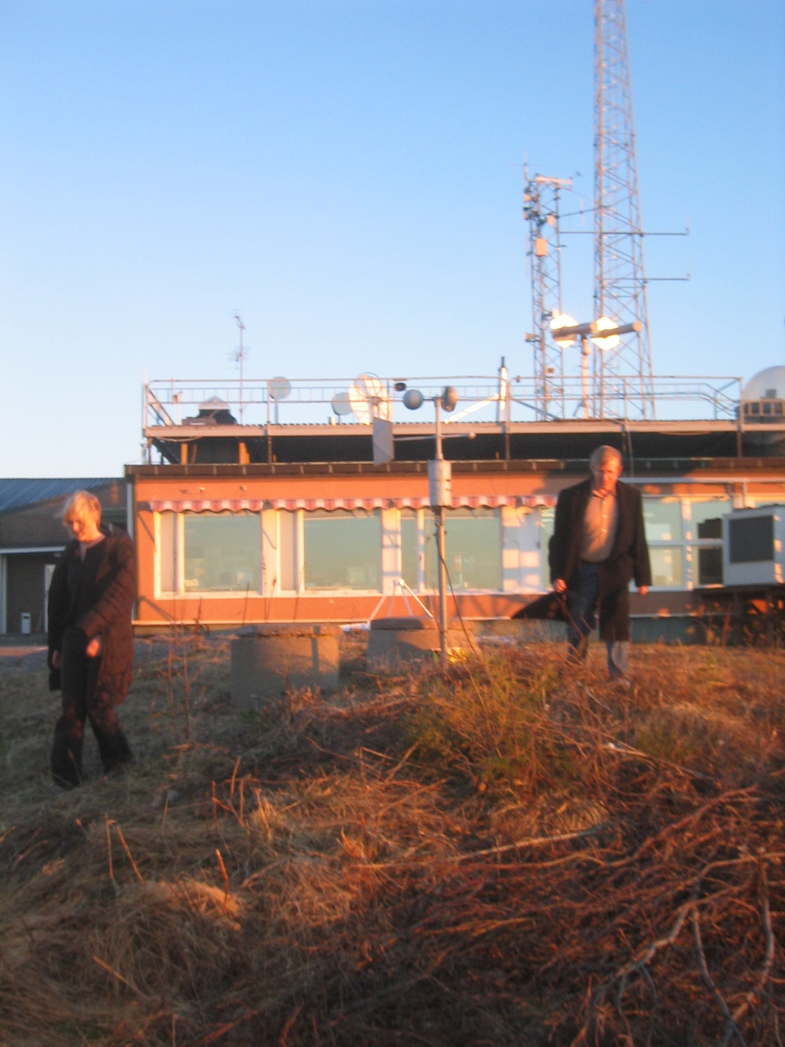
| Barth and Marie check the anemometer. |
| The anemometer spinning in the breeze. |
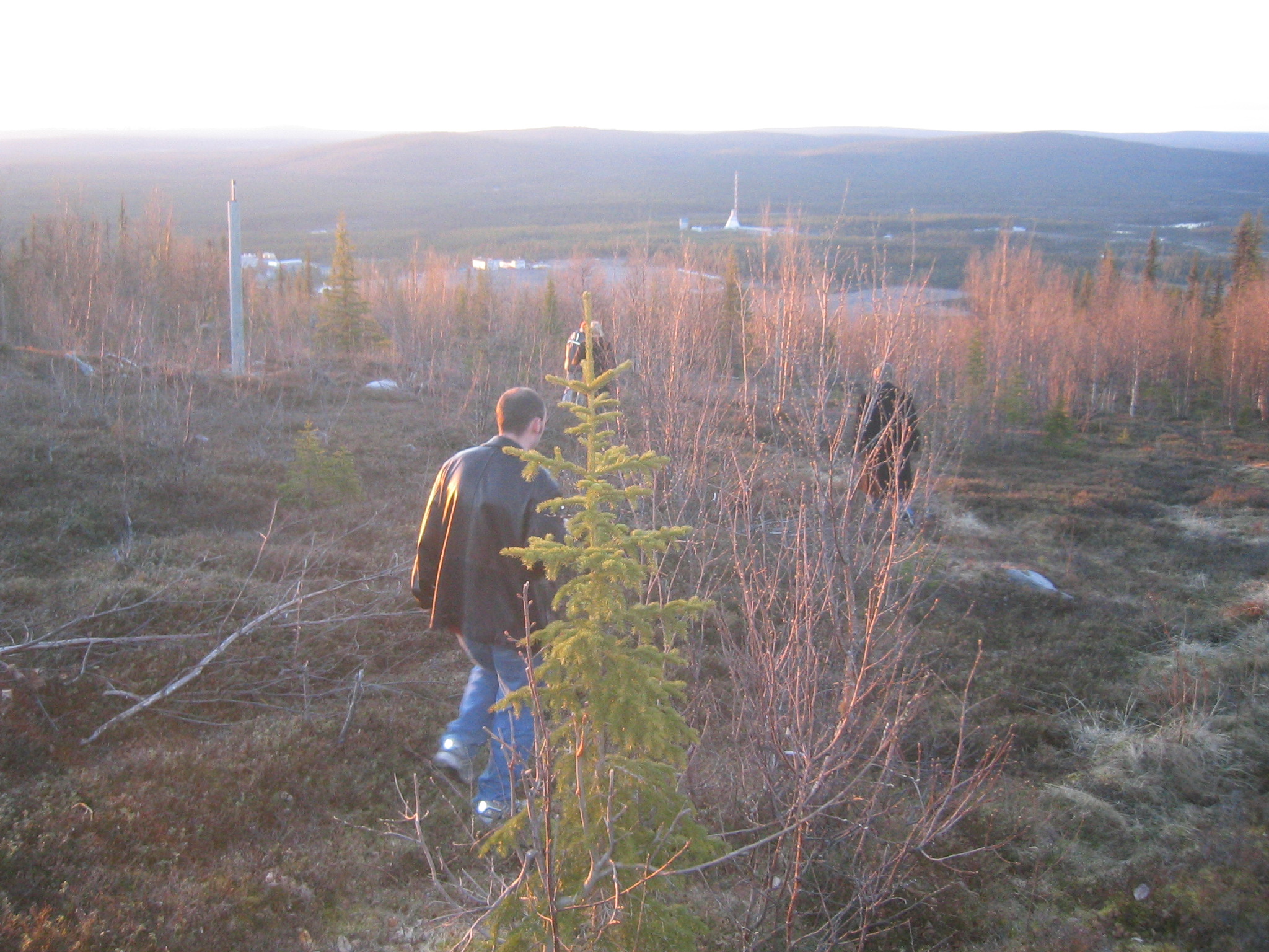
| Gaelen proposes taking the short cut. |
| Starting out on the short cut. |
| Marie finds some snow. |
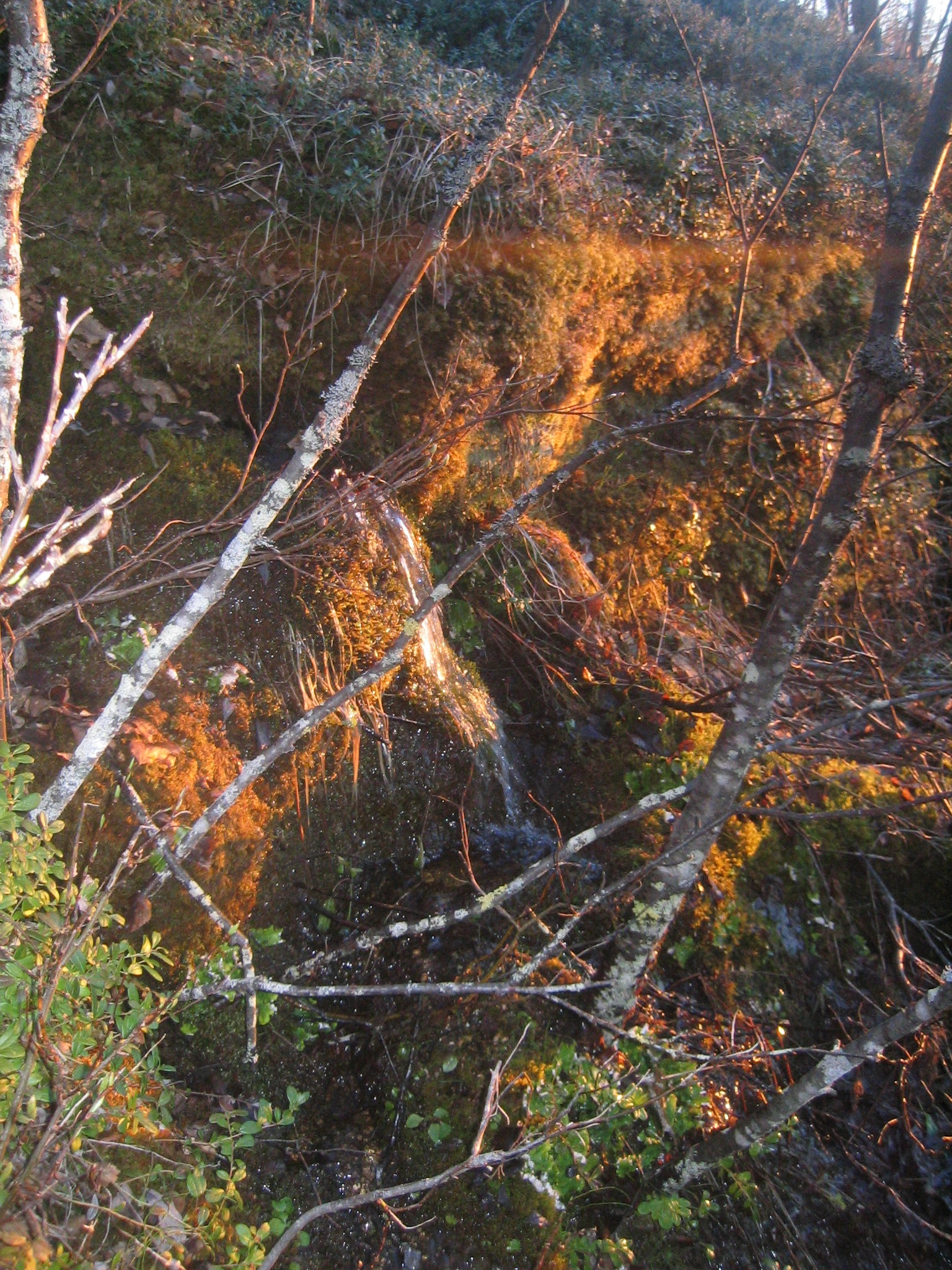
| A spring. |
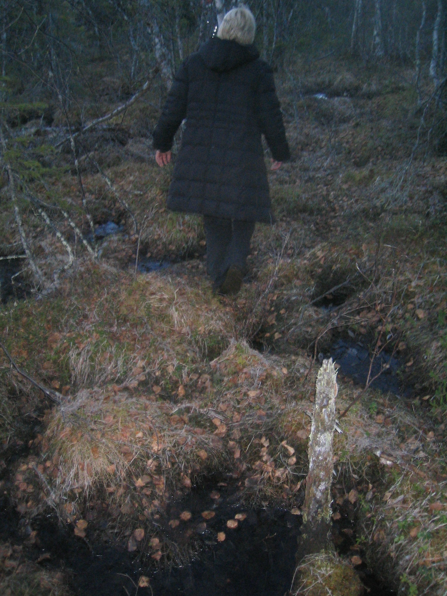
| Boggy. |
| Somebody's house. |
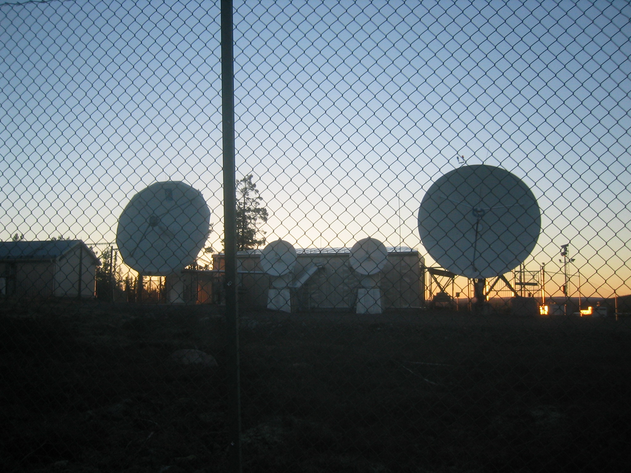
| The back of the satellite tracking station at the base of Radar Hill. From this side, it's clear that the dishes don't, in fact, look at the hill but just slightly to the left of it. |
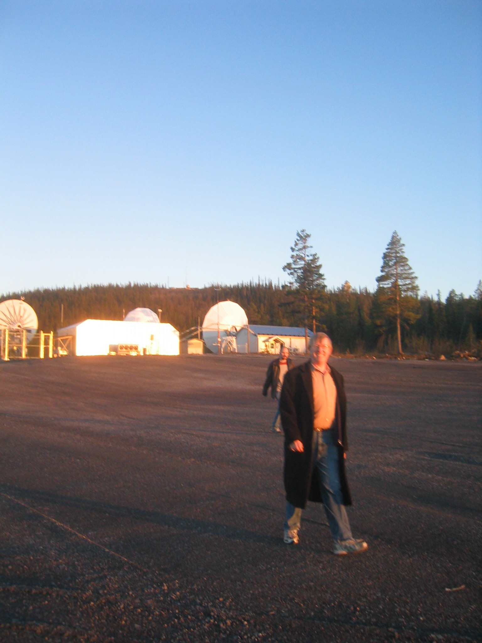
| Back on the pad. |
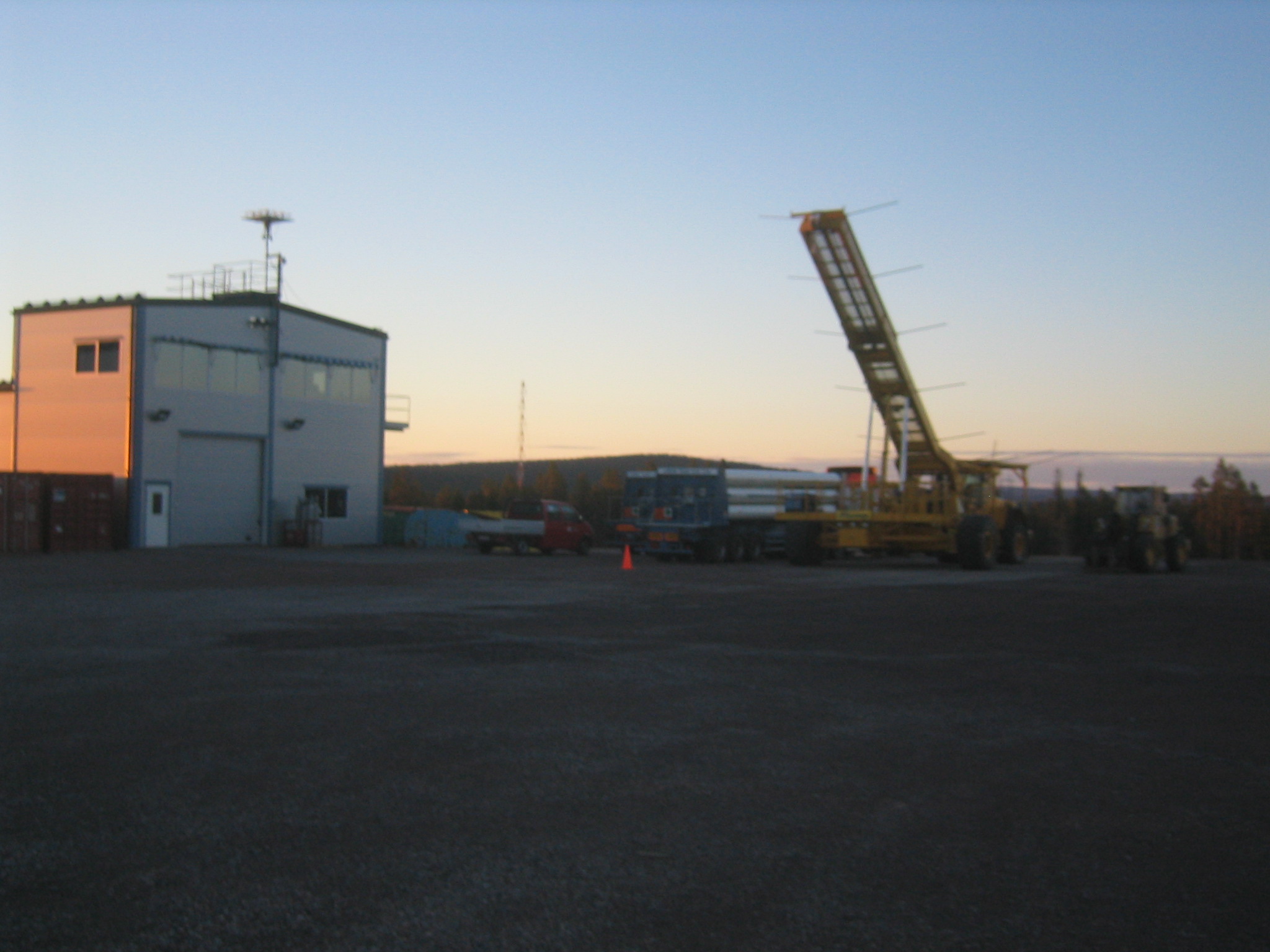
| The launch equipment waiting for the next attempt. |
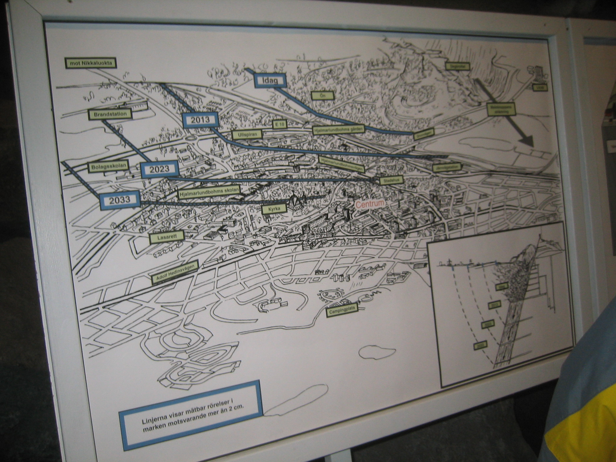
| From the mine tour. This is a map of Kiruna showing how the mine will will eventually undermine the city. As they mine deeper, they're pushed northward, under the city, as can be seen in the inset. As they remove ore from the slab of magnetite, the ground that the city is on will slowly slump, cracking foundations of buildings. |
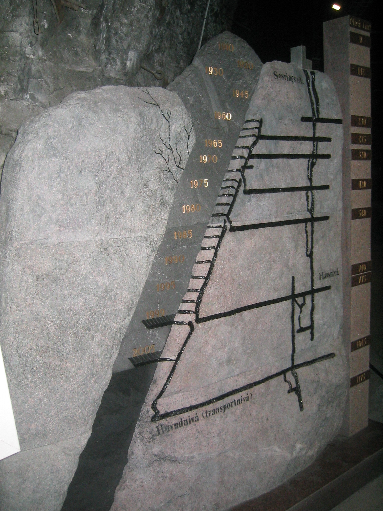
| A cutaway view of the mine's operations. There used to be a mountain of essentially iron which was dismantled starting in 1910. Since then they've been working their way down. Their main drift is now at 1045 metres below the summit of the mountain. The visitors' centre was at the 420 metre level. |
| A rolling rock. |
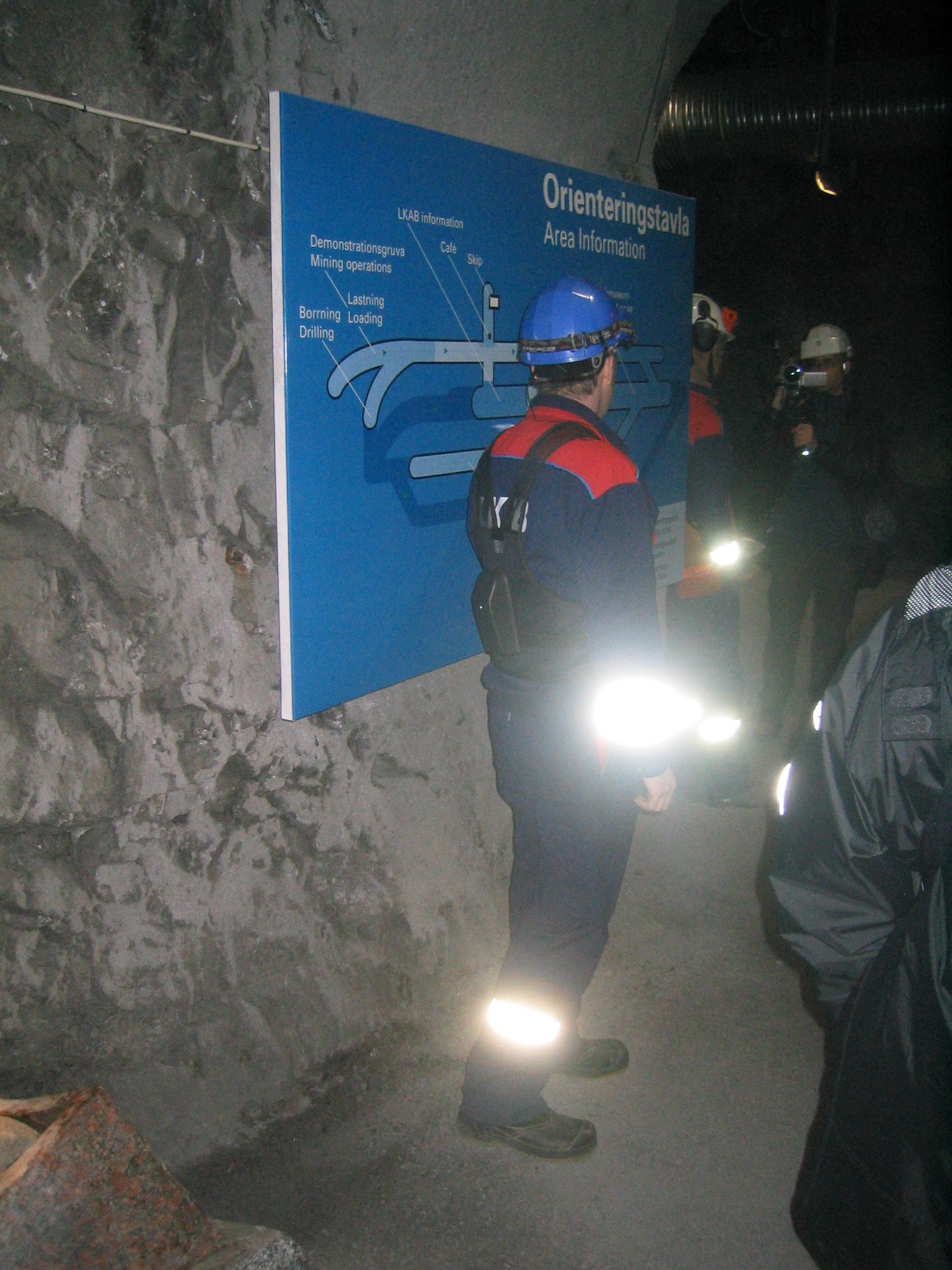
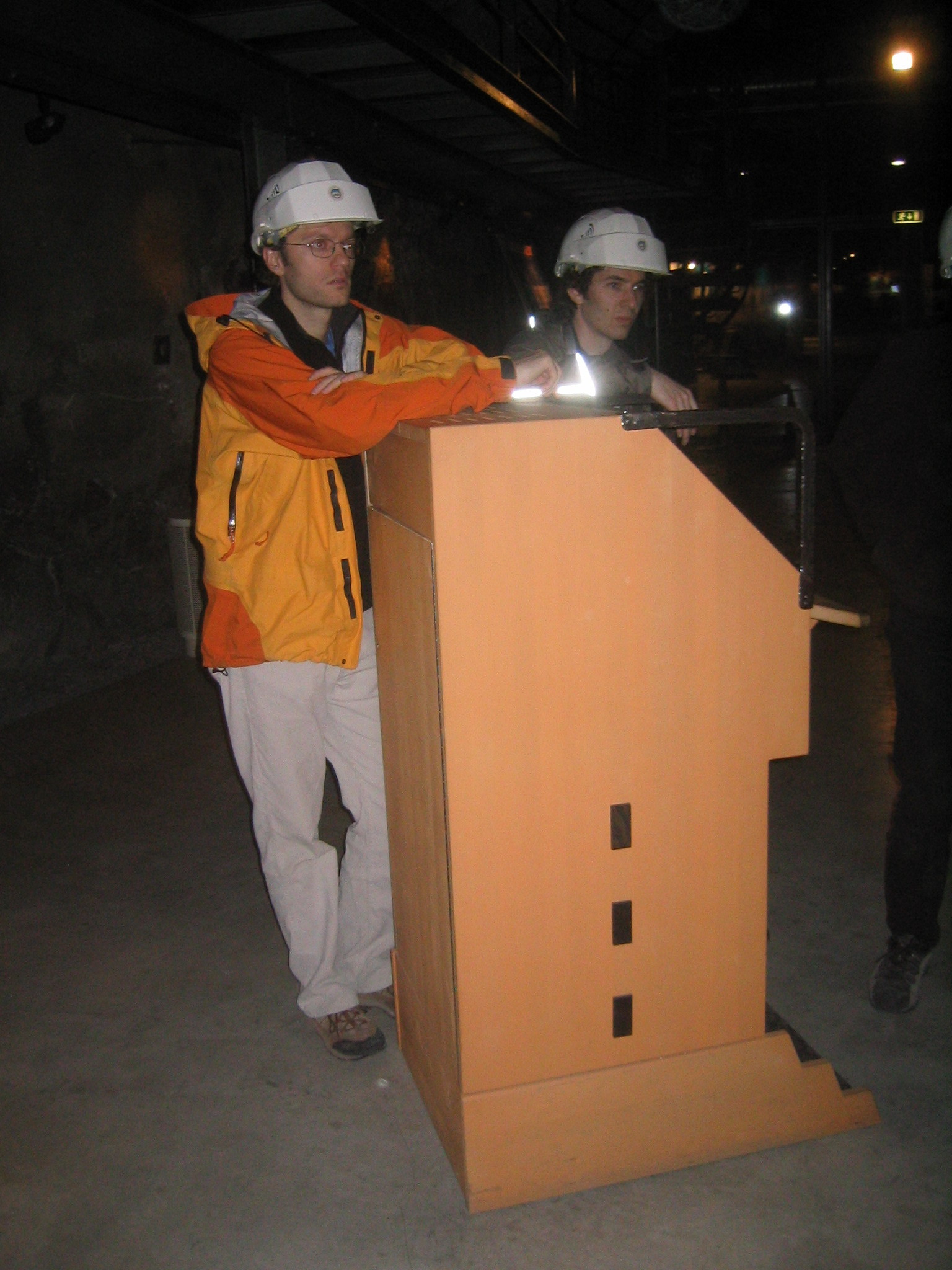
| Our guide shows us a map of the visitors' centre. |
| Gaelen and Ed at the mine tour. |
| A three dimensional view of the mine, which is unfortunately obscured by my camera flash. The blue mass underground is the mineral deposit, a flat slab of magnetite. |
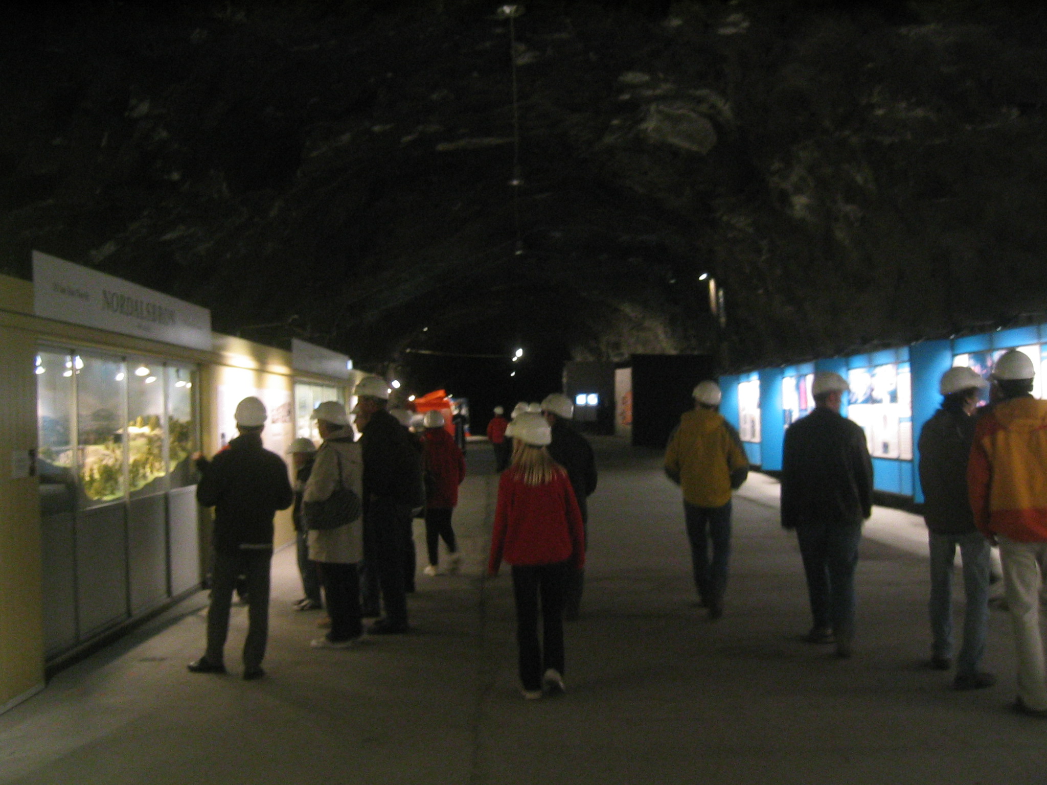
| In the tour. |
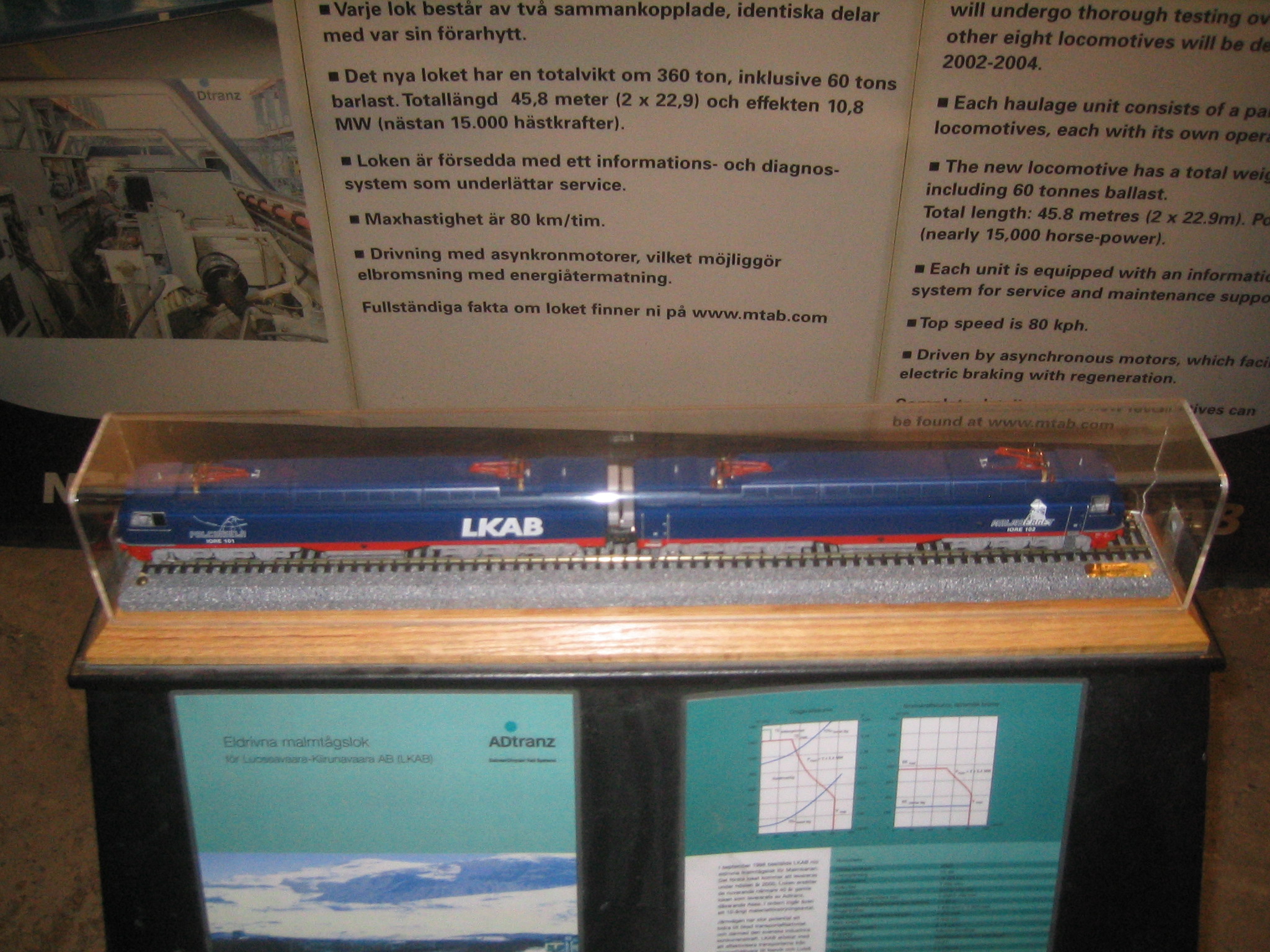
| Models of LKAB's trains. LKAB is the company that runs the mine. It's a Swedish Crown Corporation. |
| A large cavern in the visitors' centre. The surrounding rock is Cambrian bedrock, which seems to do a good job of holding up the ceiling. |
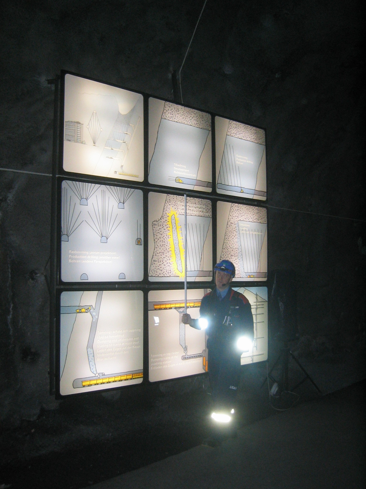
| Our guide explains the extraction process. The mining operation is almost completely remotely operated. Interested parties can get more information from LKAB's website. |
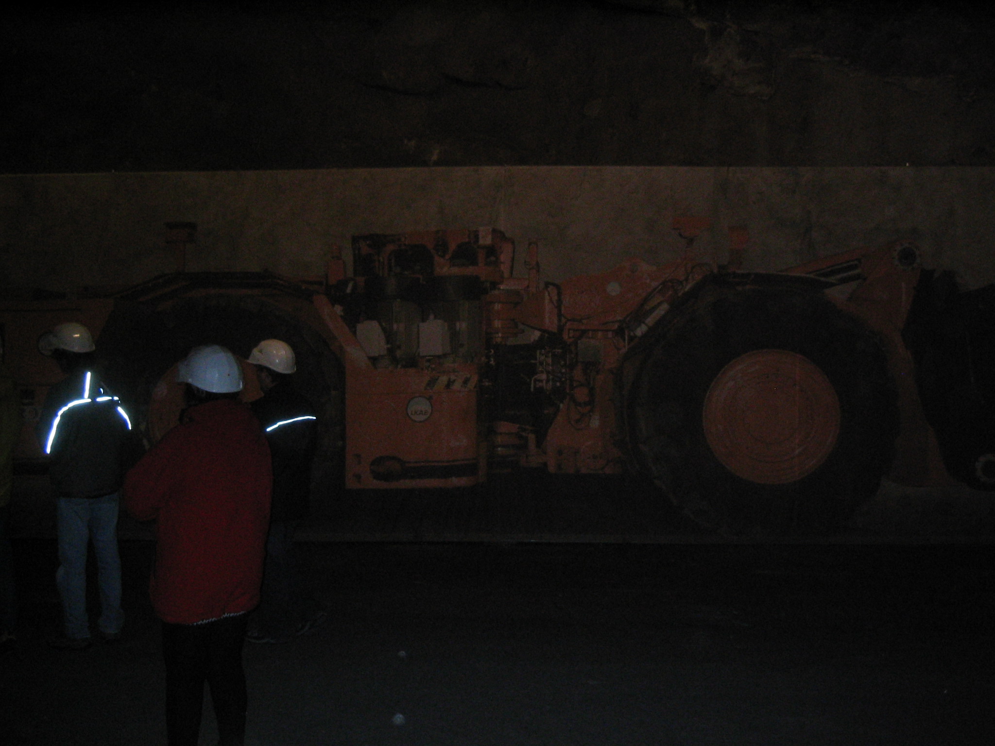
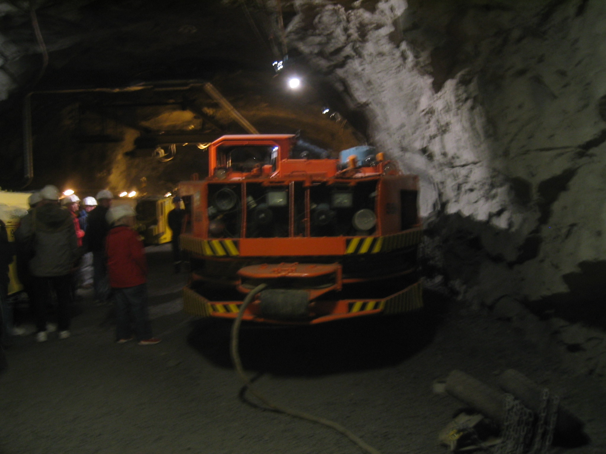
| One of the remote controlled rock movers. The Kiruna mine is the one of the largest and most advanced mines. |
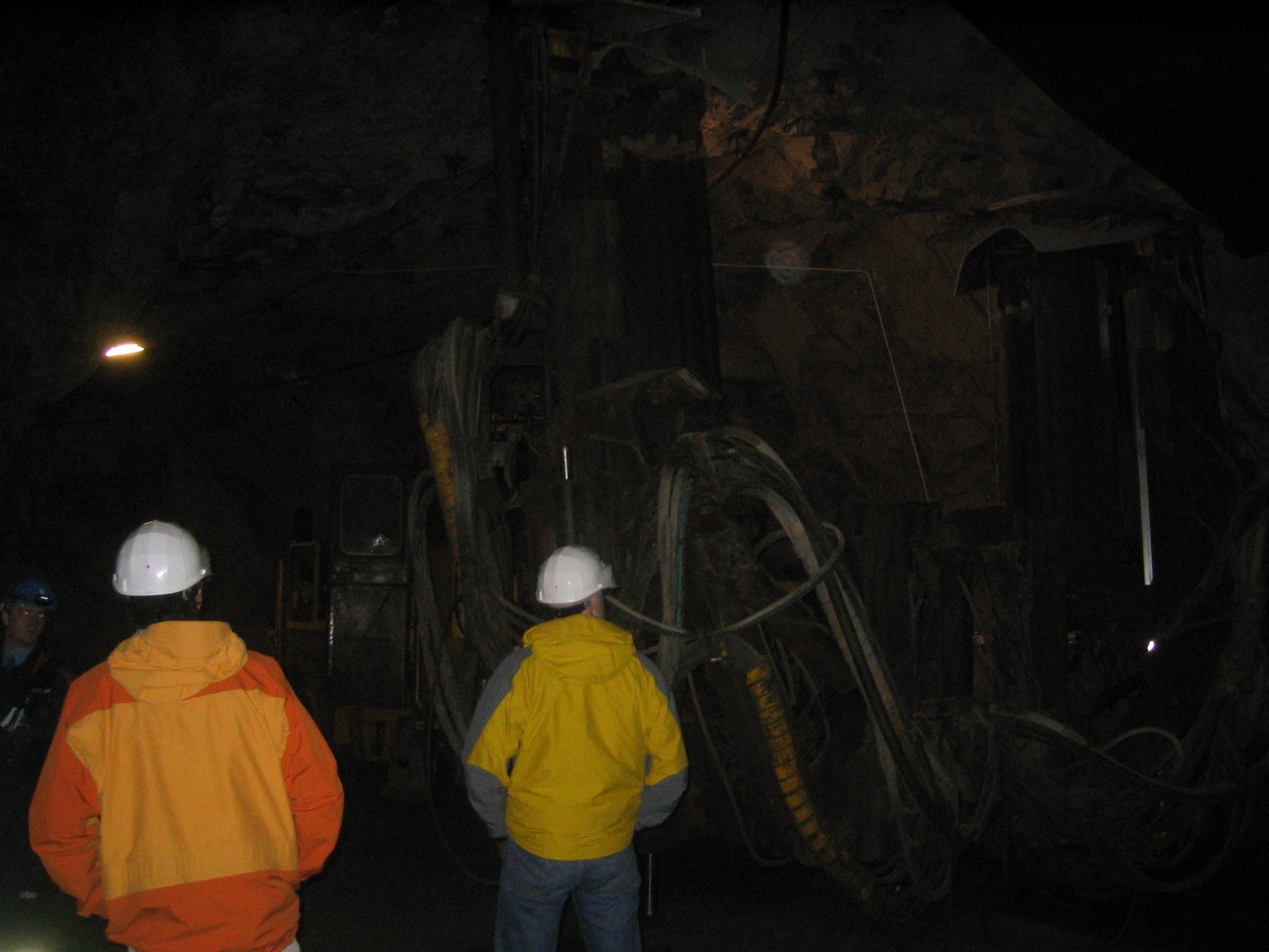
| A drift in the mine. |
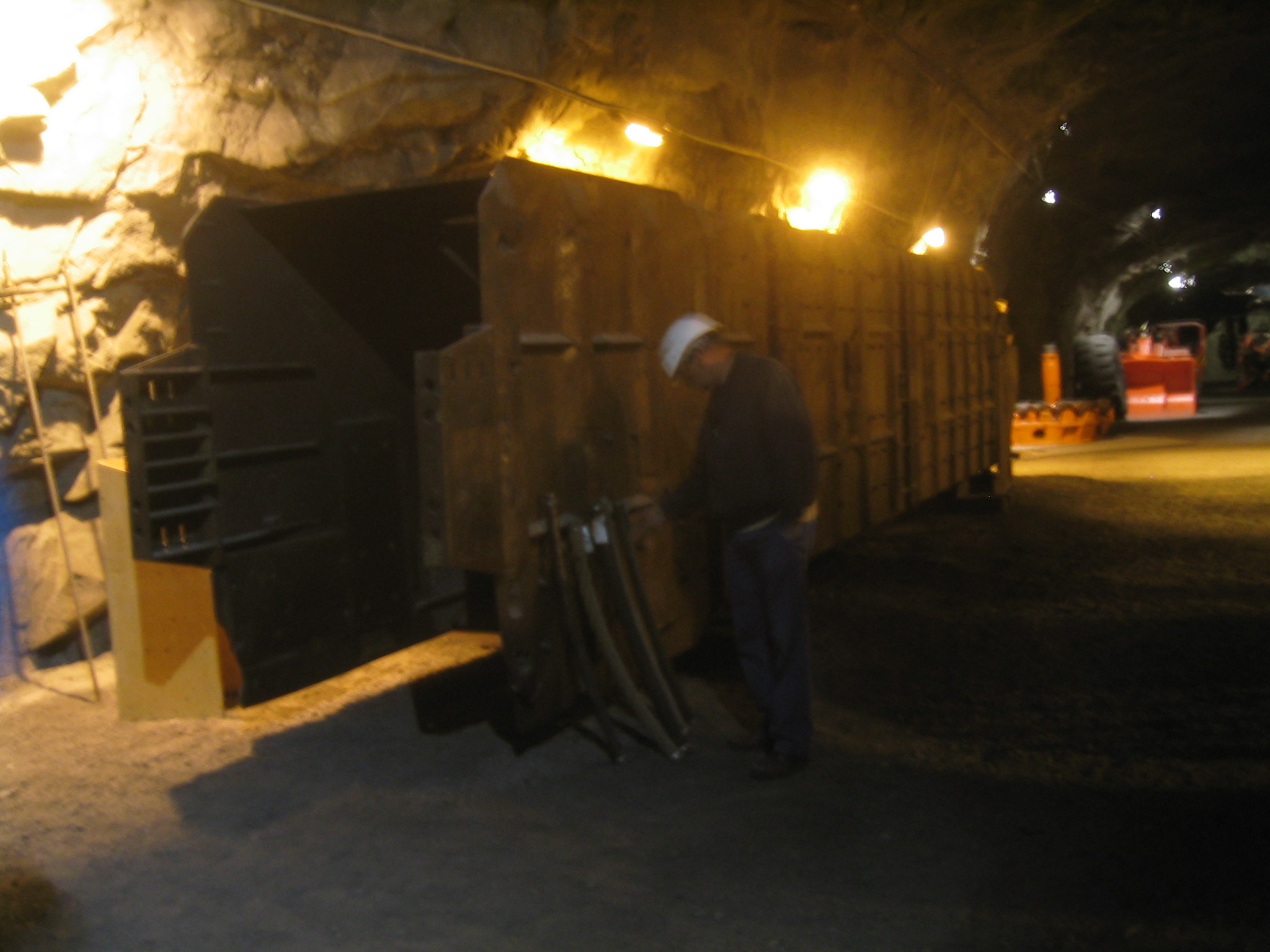
| An old boring machine. |
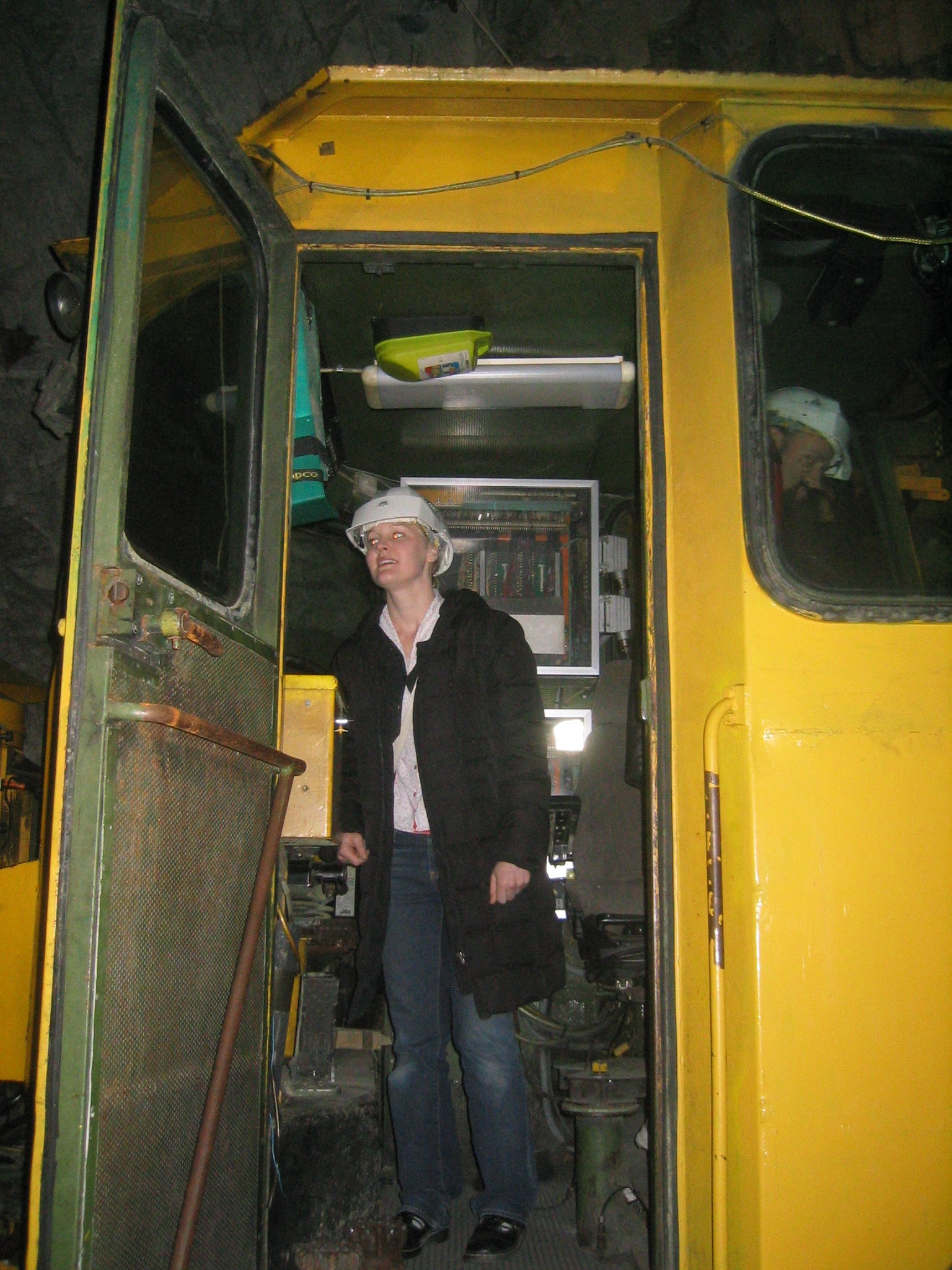
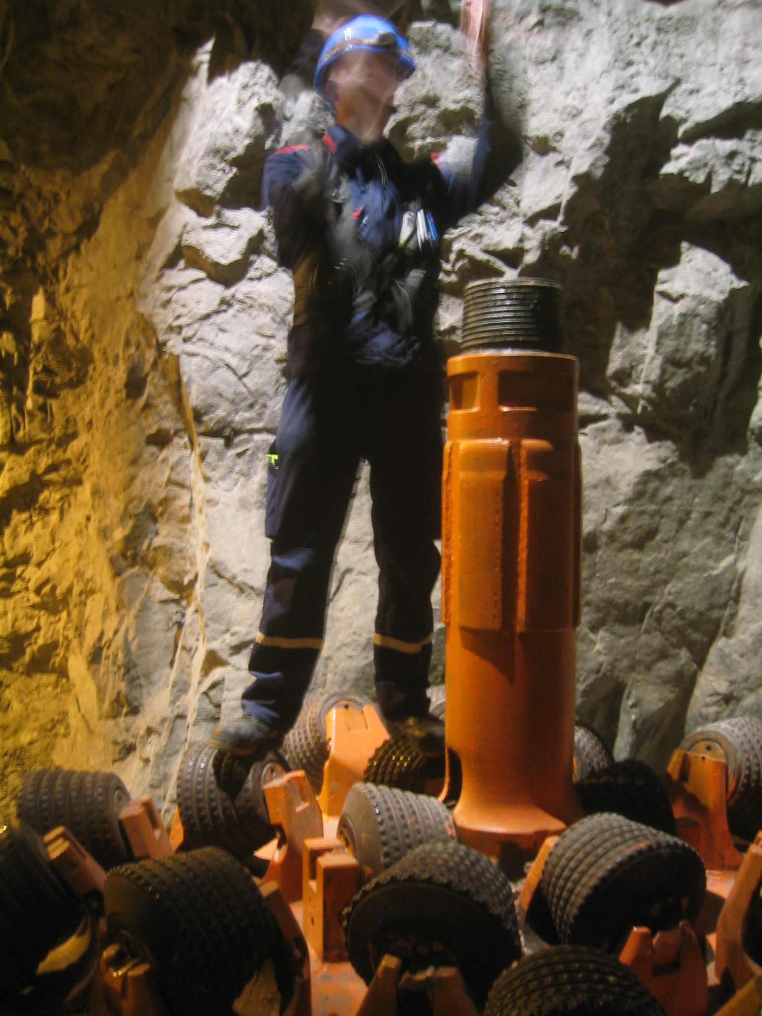
| Marie checks out the cab. |
| A close-up of the machinery. |
| A junction. |
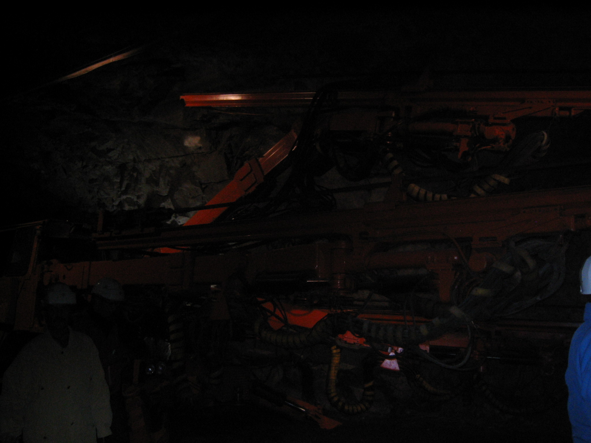
| Another piece of machinery. |
| Looking at the old mine equipment in the machinery hall. |
| Our guide standing on one of the drill bits. |
| One of the skip cars, lying on its side, which lifts the ore from the extraction level to the surface. |
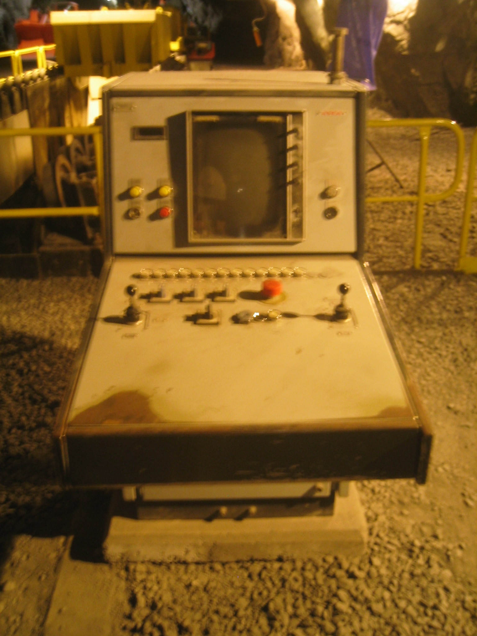
| An old control panel. |
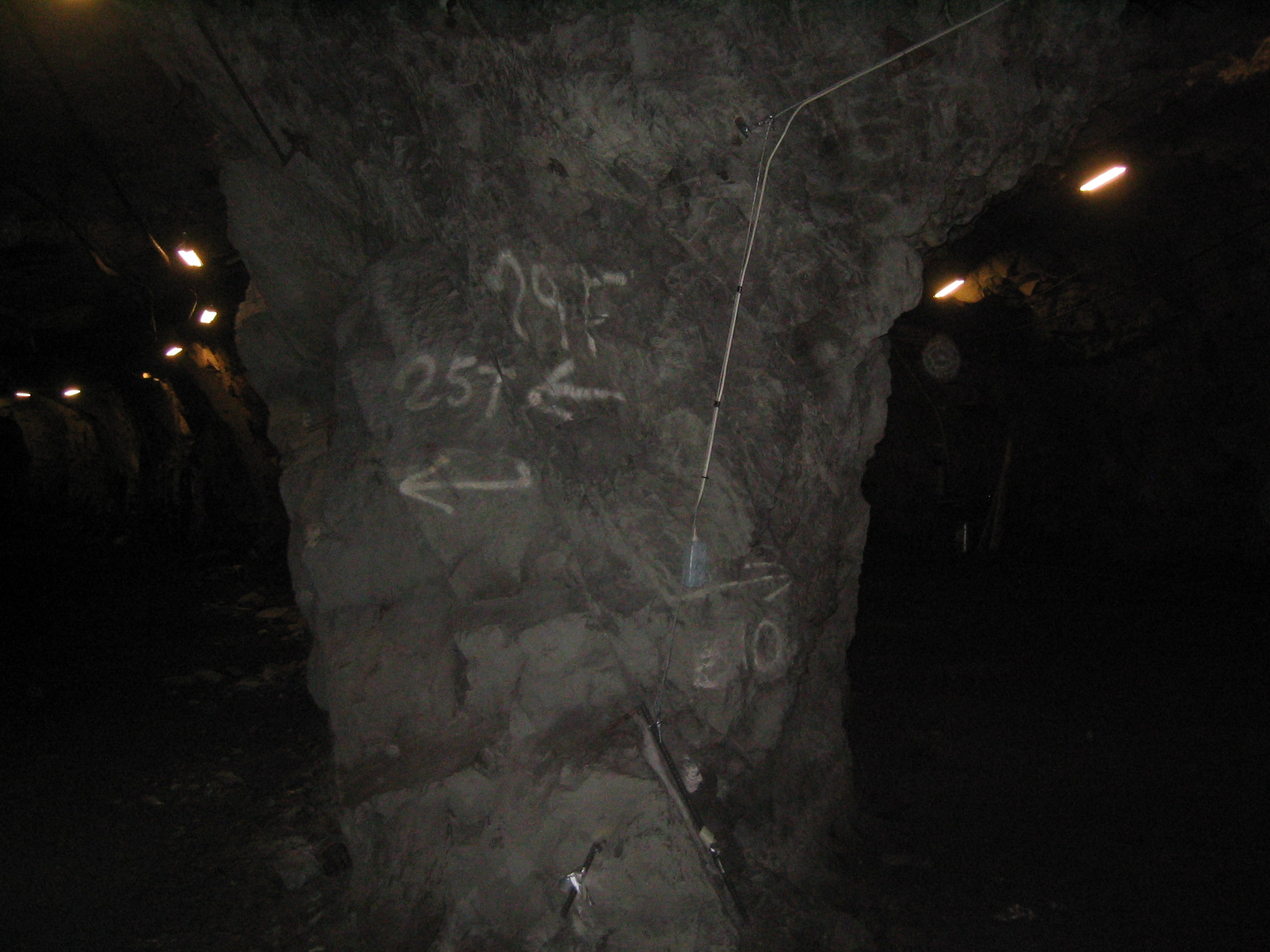
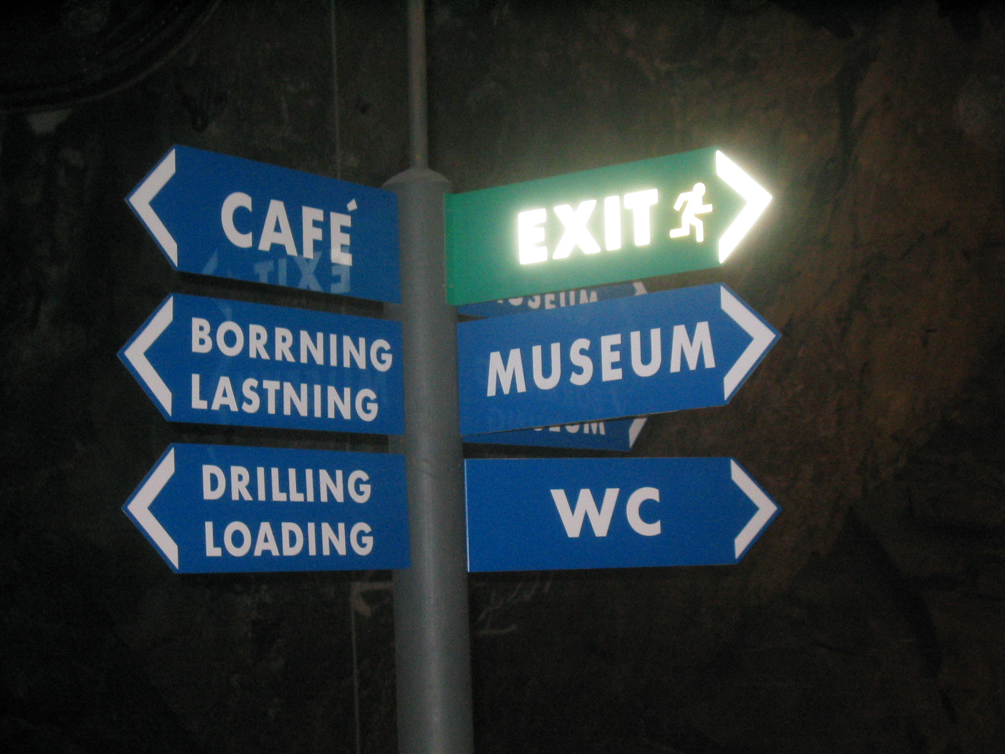
| A street sign underground. |
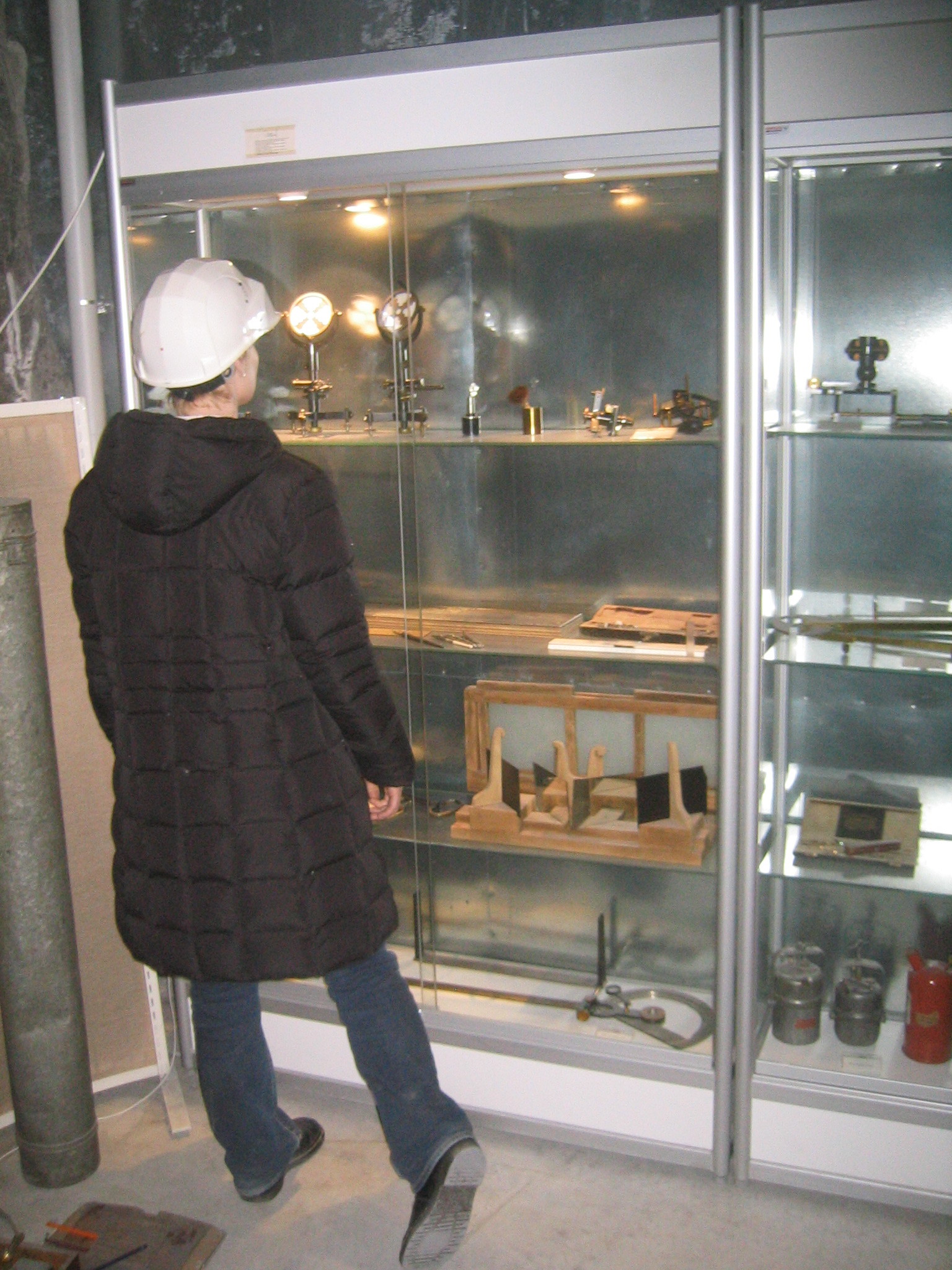
| Marie inspects some of the surveying equipment in the museum. |
| High-tech telephony in the mine. |
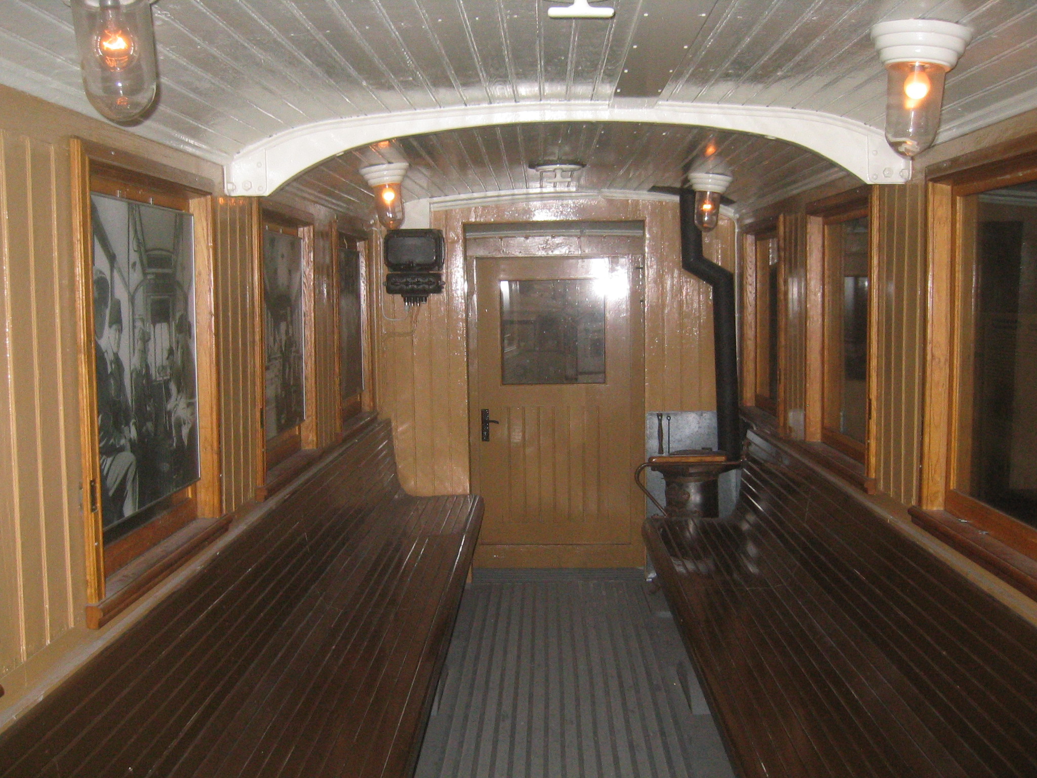
| The mine museum. At the end of the drift is one of the streetcars which used to be used in Kiruna. |
| Inside the streetcar. |
| Inside the streetcar. They were retired in 1958. |
| Looking towards the mine from Kiruna. |
| Heading down the hill from the centre of town. In the distance you can see an ore train waiting to take iron to Narvik. |
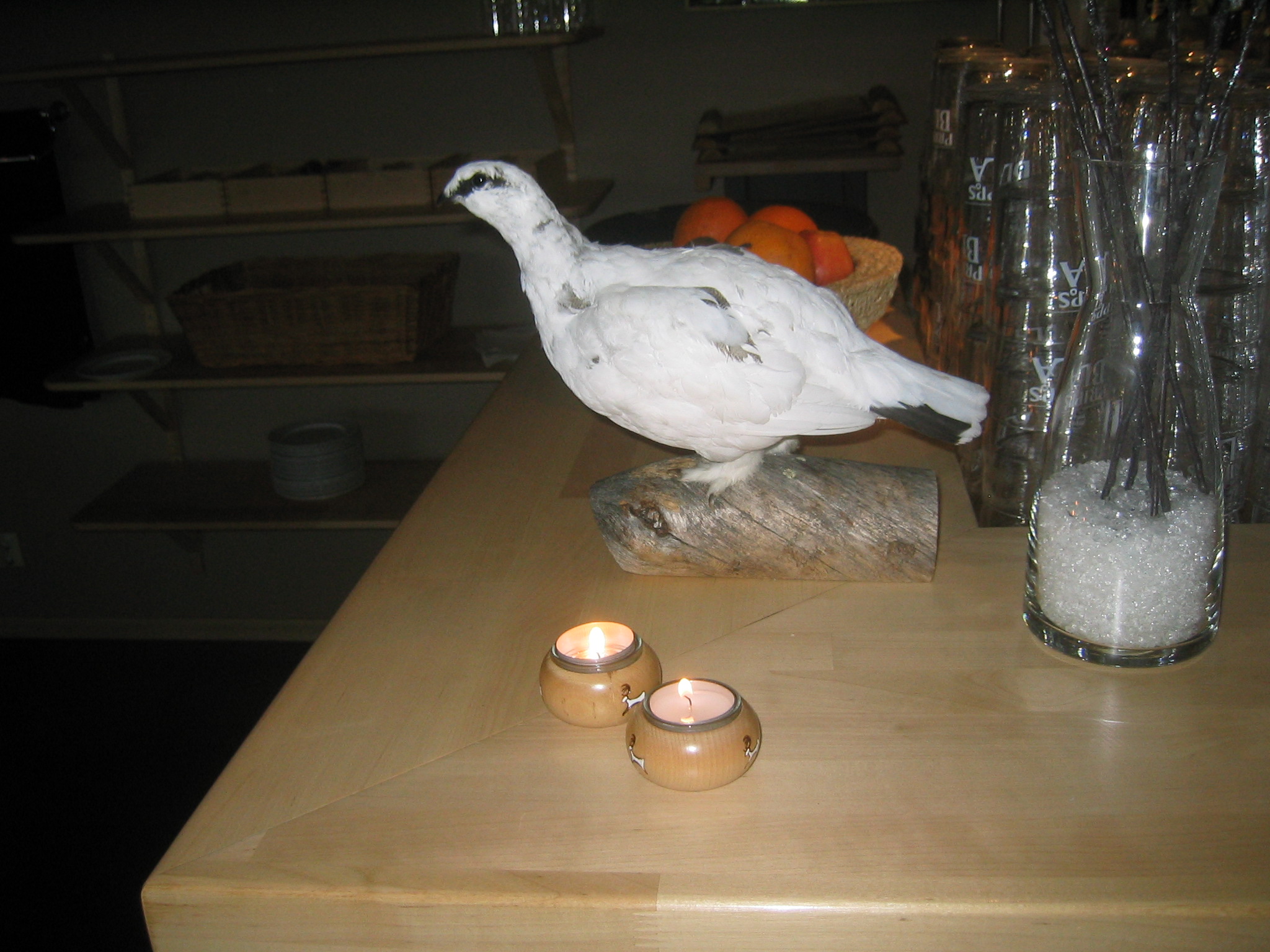
| A white ptarmigan or willow grouse at the Ripan Restaurant. In Lappish, it's called a Kiiruna. In Swedish it's a Ripa. The "LK" in LKAB stands for Luossavaara-Kiirunavaara, Lappish for Salmon Mountain and Grouse Mountain, which were the two ore mountains in which mining started. (The AB is an abbreviation for aktiebolag which is the Swedish equivalent of Ltd. and similar.) |
| At the Ripan Restaurant. |
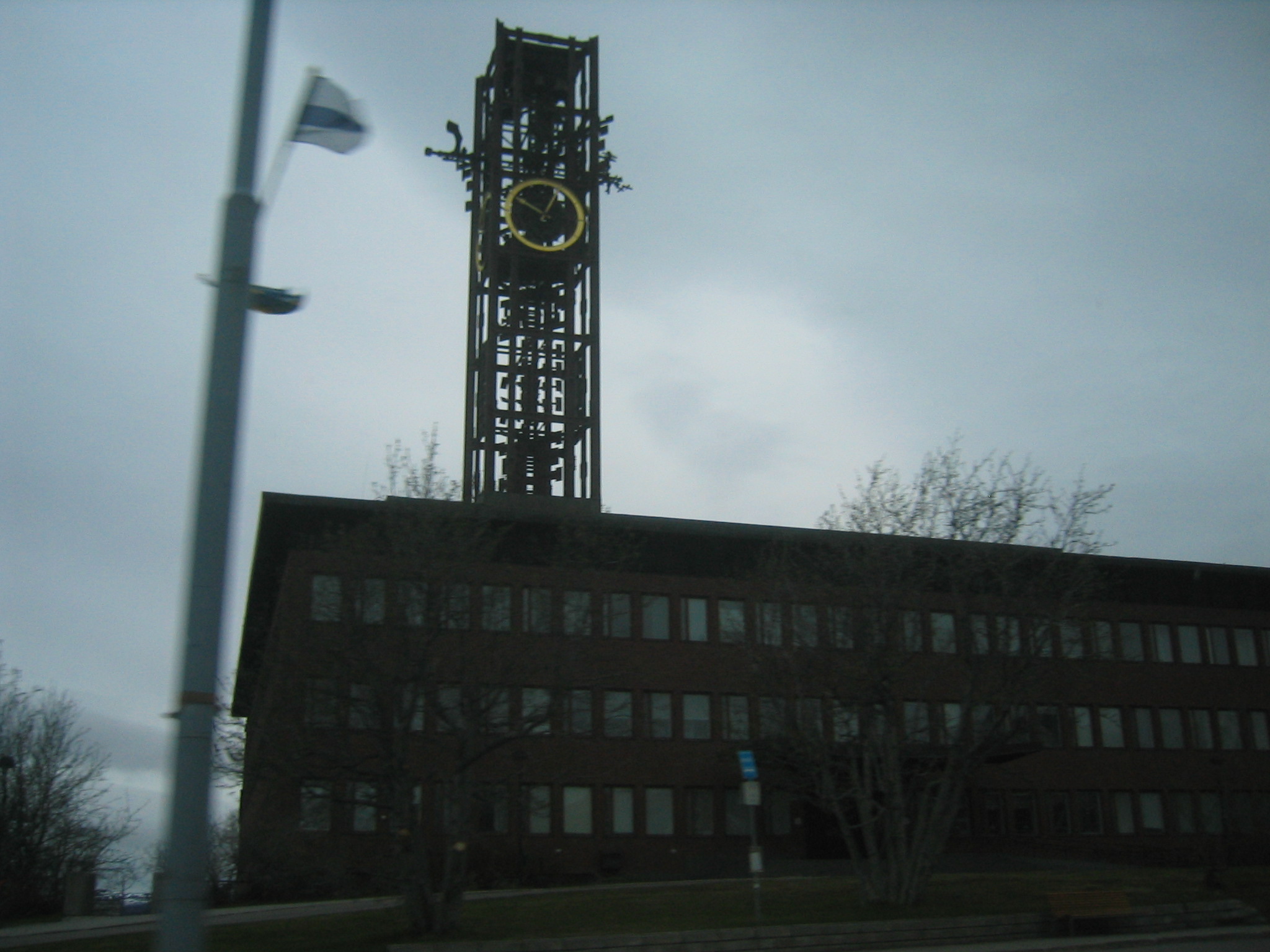
| Kiruna city hall. |
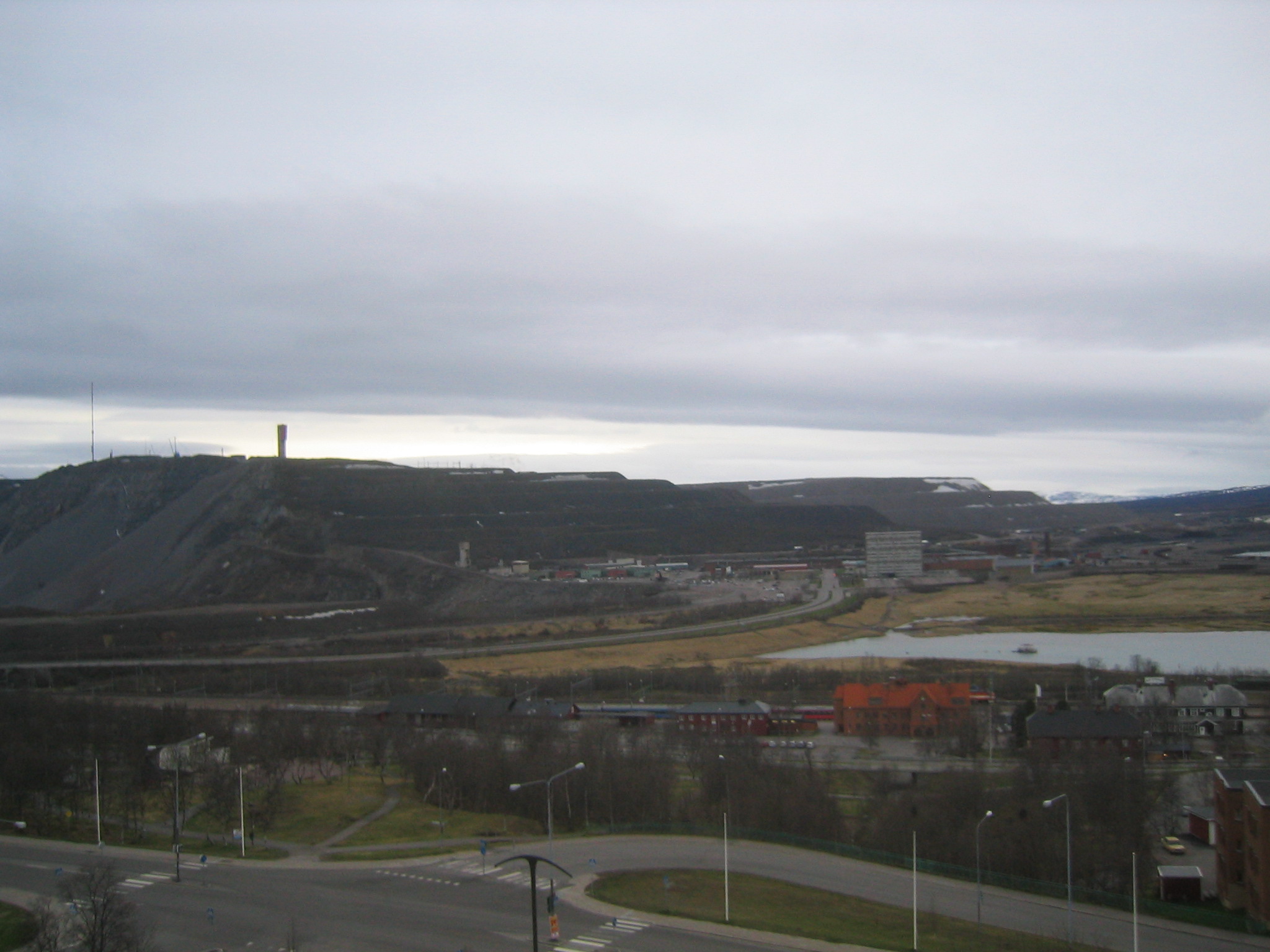
| A view of the mine from the fifth floor of the Scandic Hotel. In the centre of the photograph is the mine's office tower. The entrance to the mine is behind it just to the left. In the foreground, on the near side of the slough is the train station. |
| Looking west from the Scandic Hotel. |
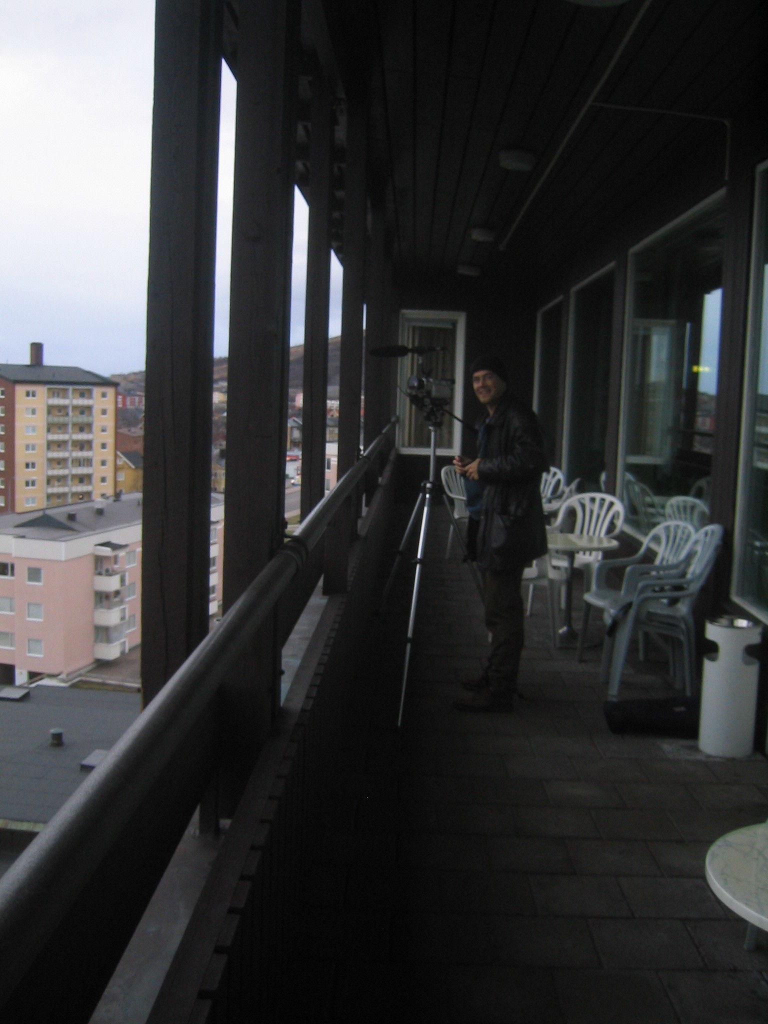
| Paul sets up for "the shot" from the fifth floor balcony. |
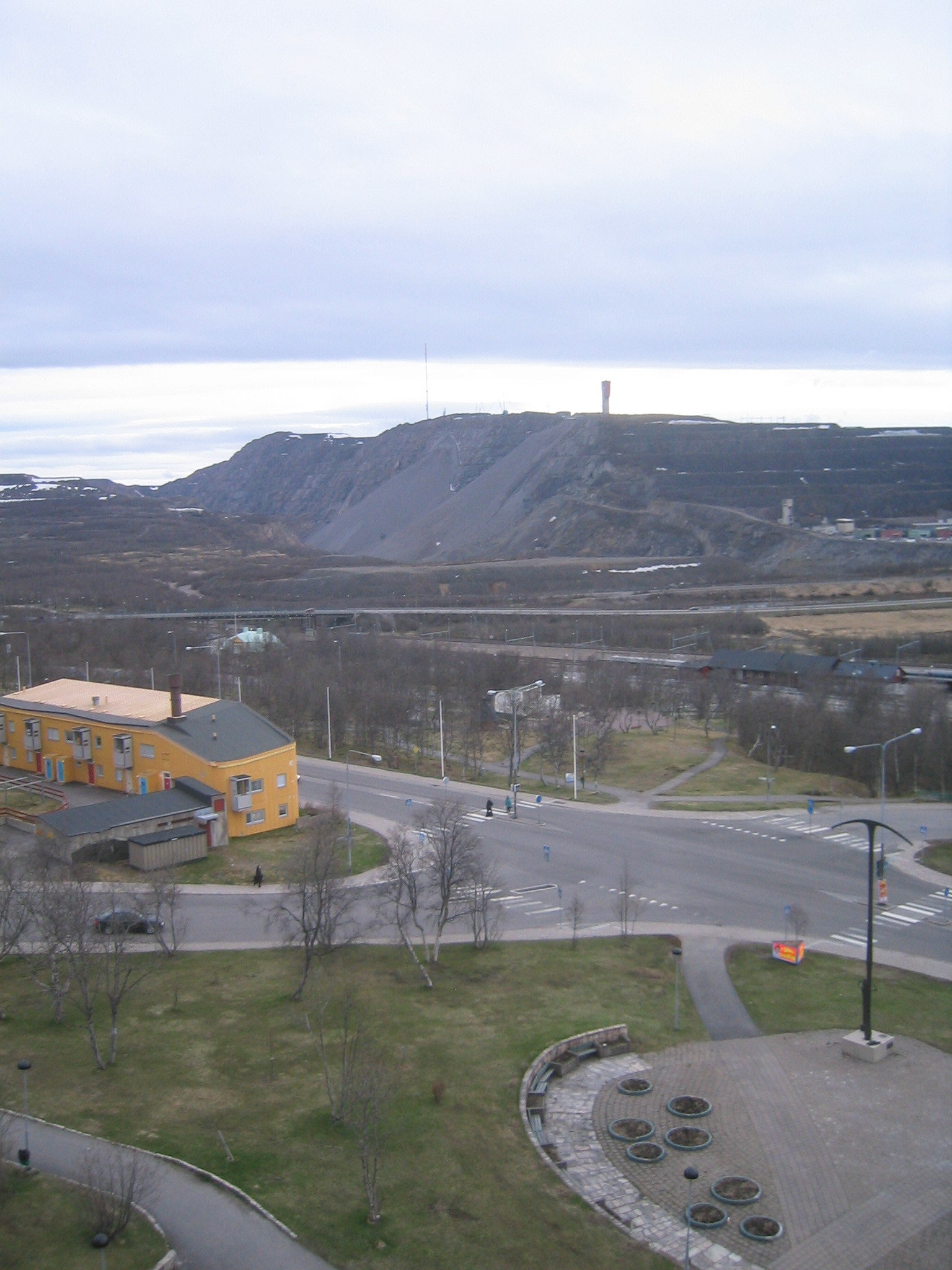
| Another view of the mine. You can see the slump which mining has produced, a long gully running parallel to the hill. |
| Jeff's launch time predictor. From centre: Sunday Morning (100 points), Saturday Morning (75 points), Next Wednesday (50 points), Next Sunday (25 points), Two Weeks (10 points). |