


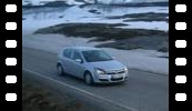


| Marie wonders if the tyres are square. |
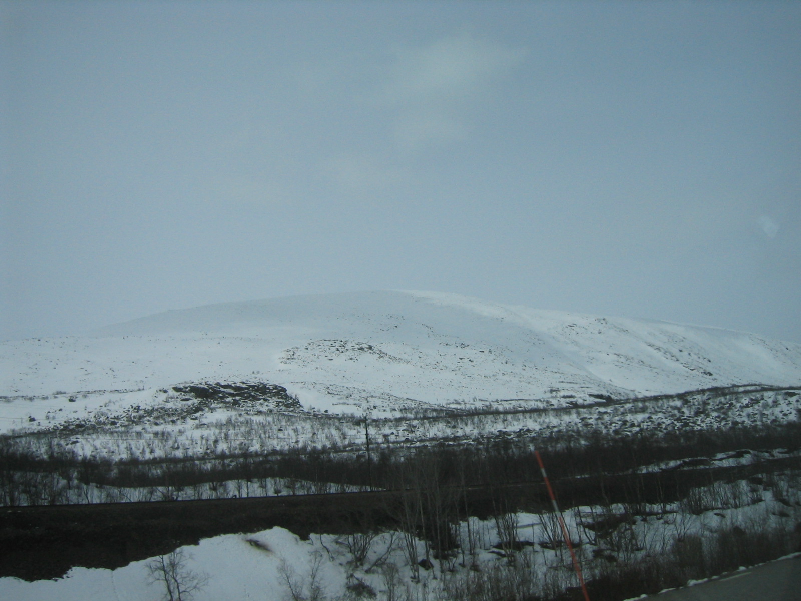
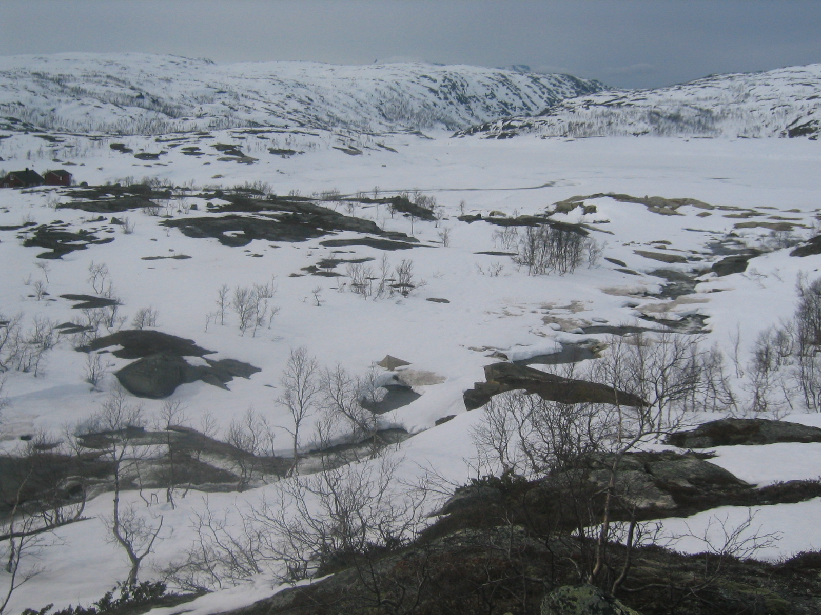
| A typical view of the lappish plateau. |
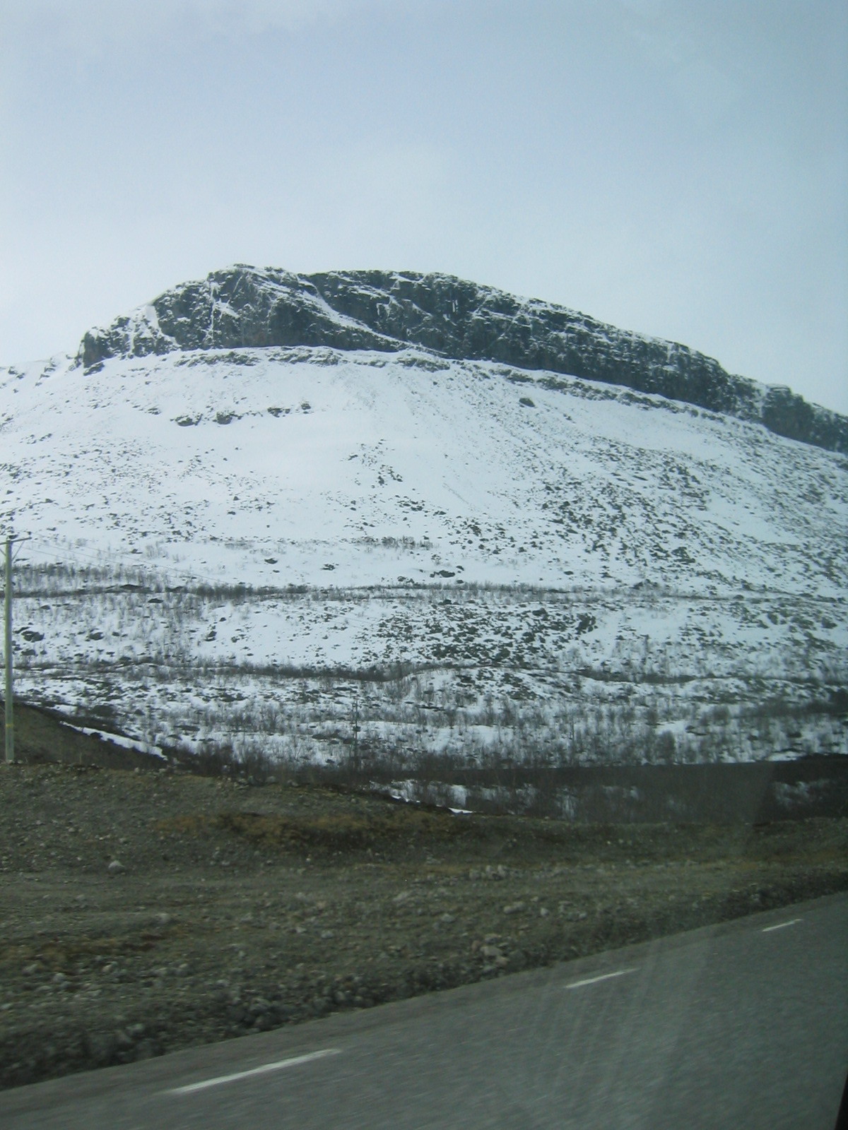
| Foothills. |
| A car in the ditch in Abisko. |
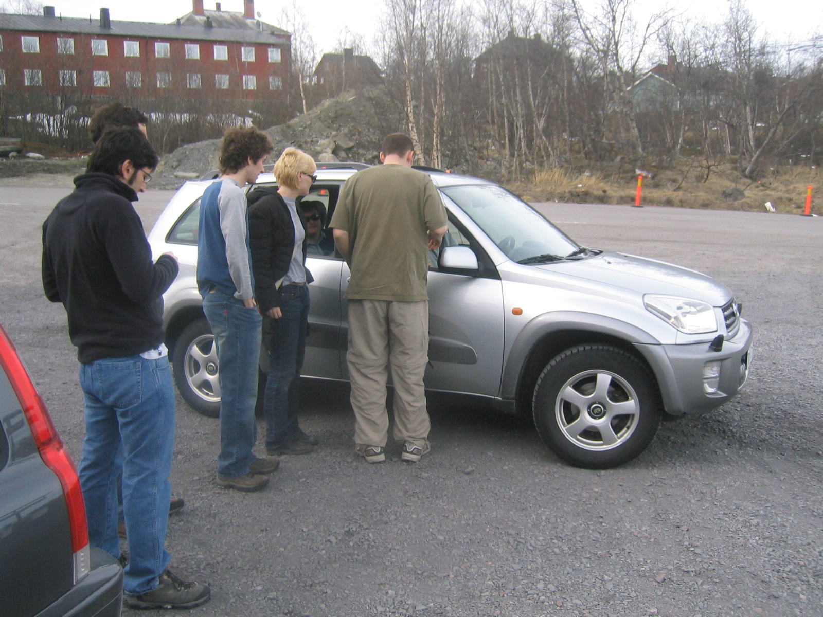
| Nathan, Brian and Chris, the LDB guys meet us in Abisko. |
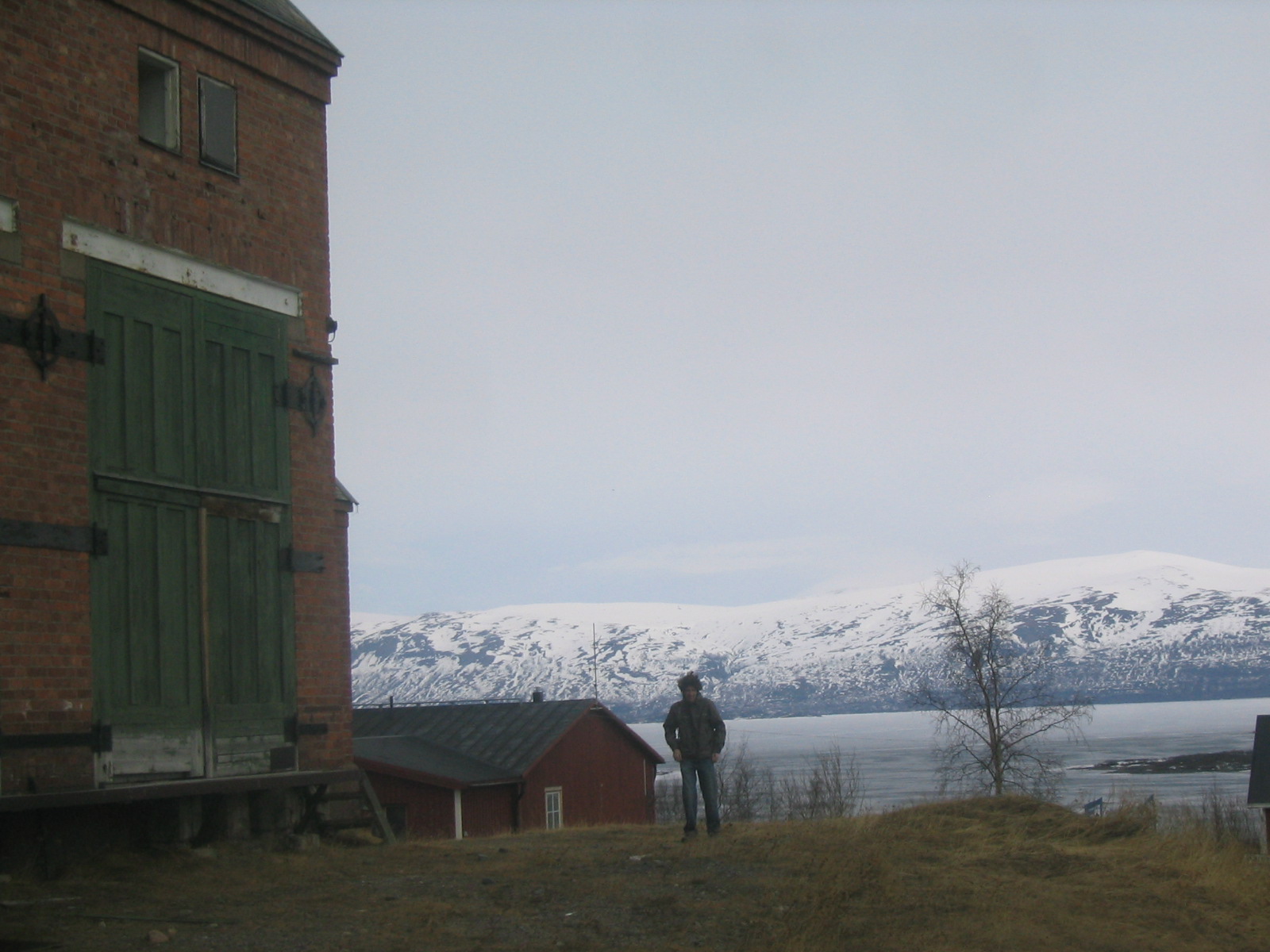
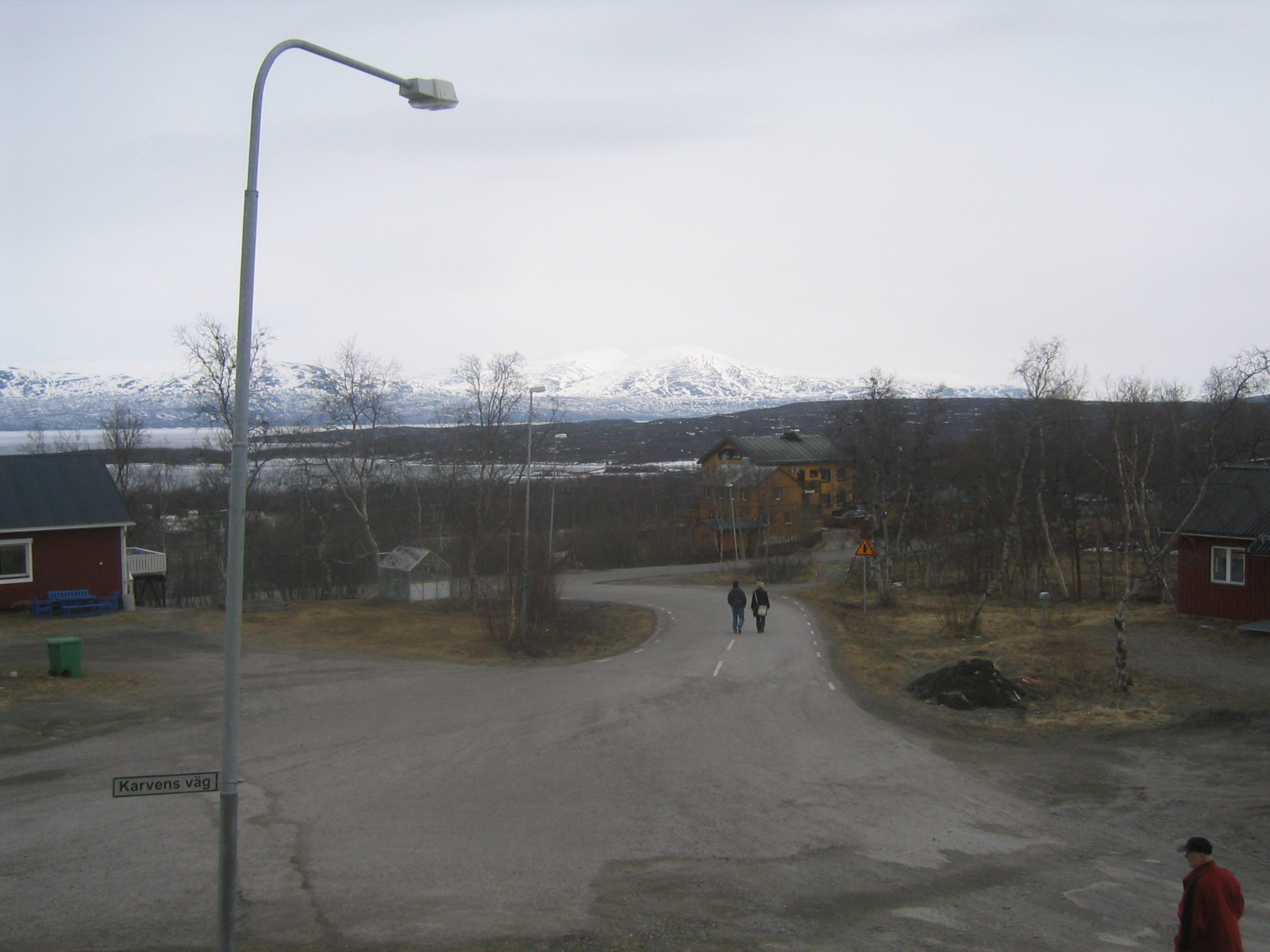
| Abisko. |
| Looking across the E10 in Abisko towards Lake Torneträsk. |
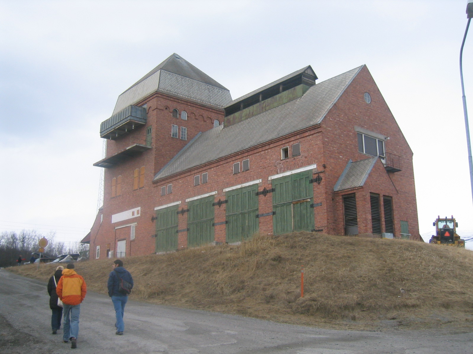
| Abisko train station. Many of the train stations in the towns in this area look like this. Presumably they were all built at one time when the railroad was put through from a standard blueprint. |
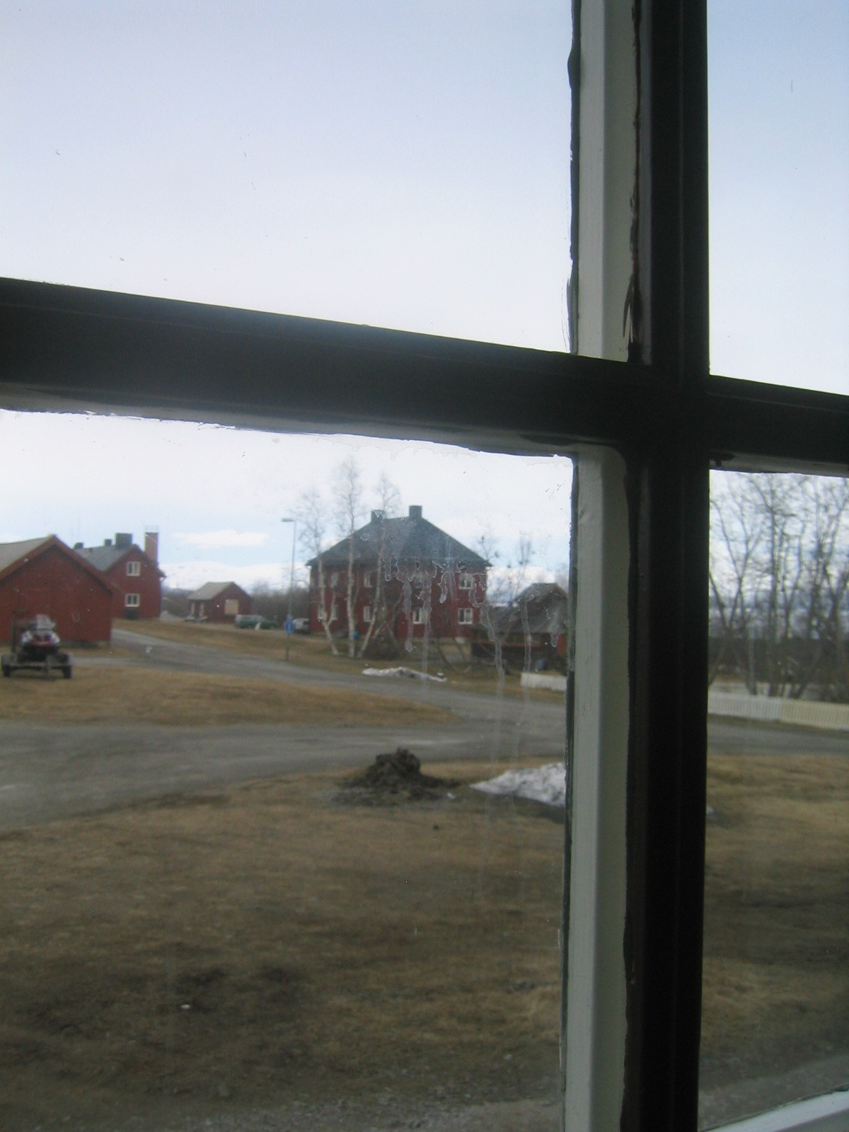
| Looking out a dirty window in the train station. |
| Looking down the tracks. All the trains appear to be electric in this region. |
| Gaelen next to the train station. |
| The right of public access in Sweden. |
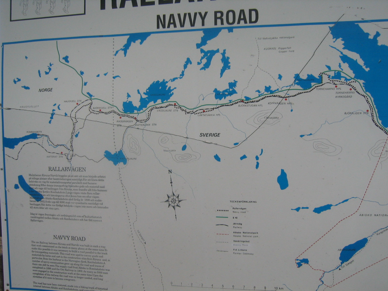
| The Navvy Road. Abisko is off the map to the right at the far edge of Abisko National Park. The big lake on the right is the northwestern end of Lake Torneträsk. |
| Marco and Marie walking down from the train station. |
| A view of Abisko. |
| Pulling the car out of the ditch. |
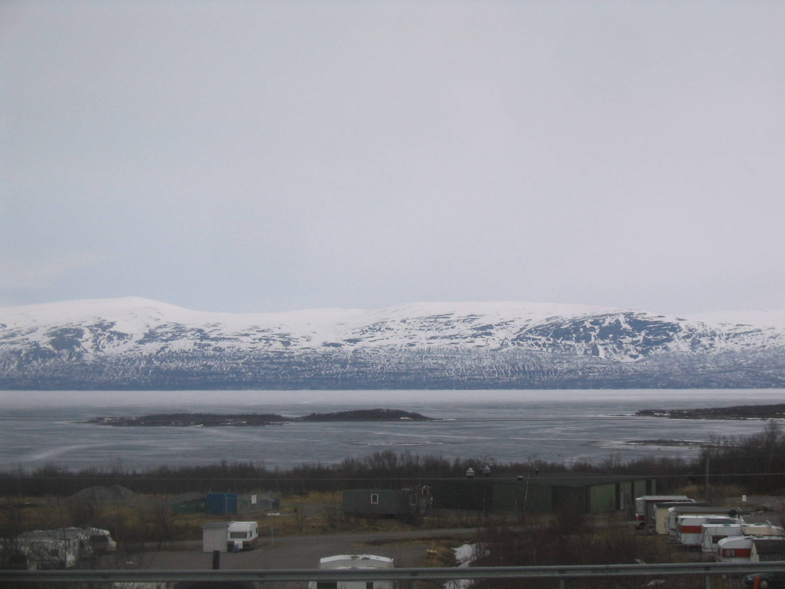
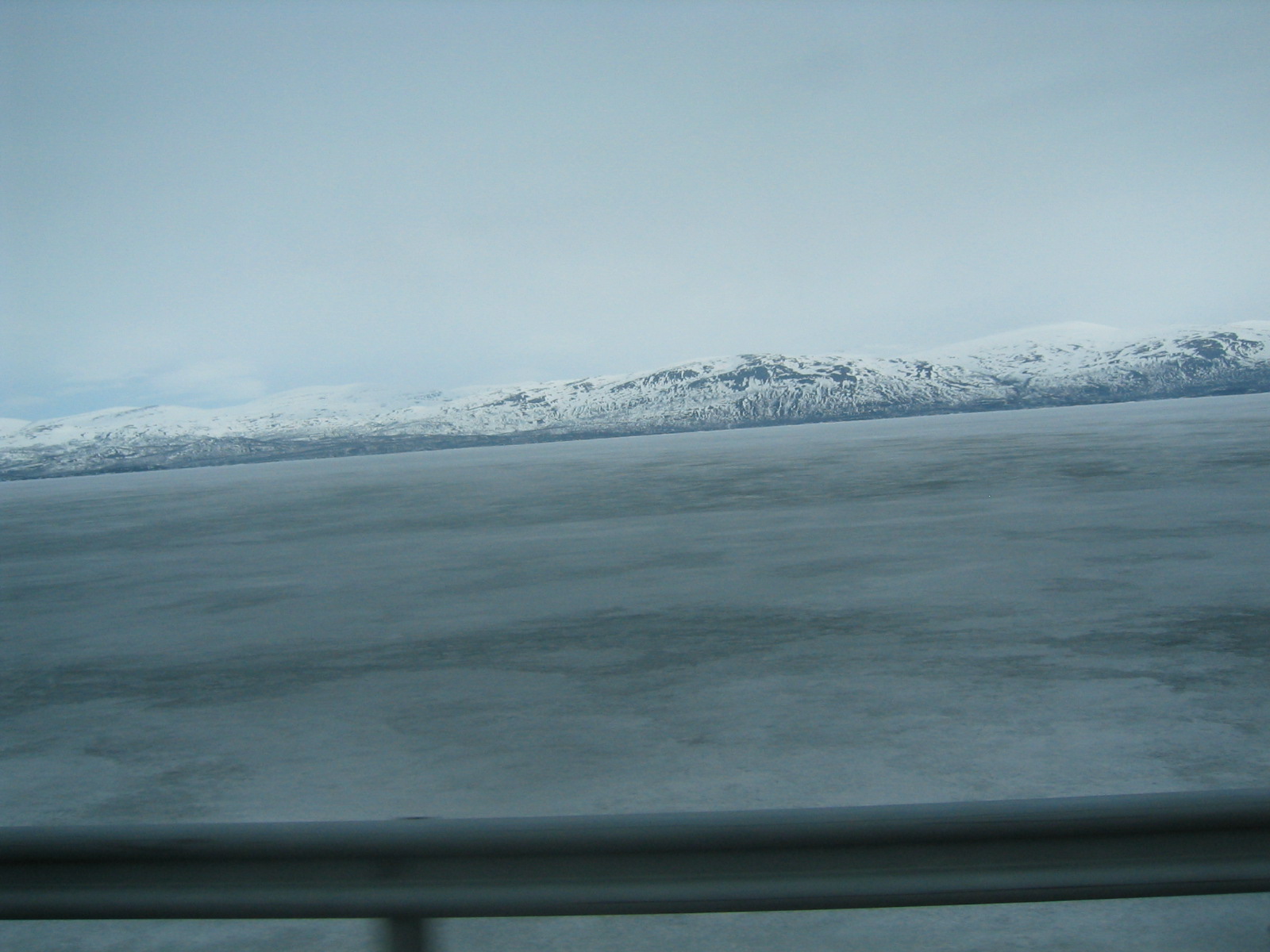
| Lake Torneträsk. |
| Lake Torneträsk. |
| One of many railroad tunnels. |
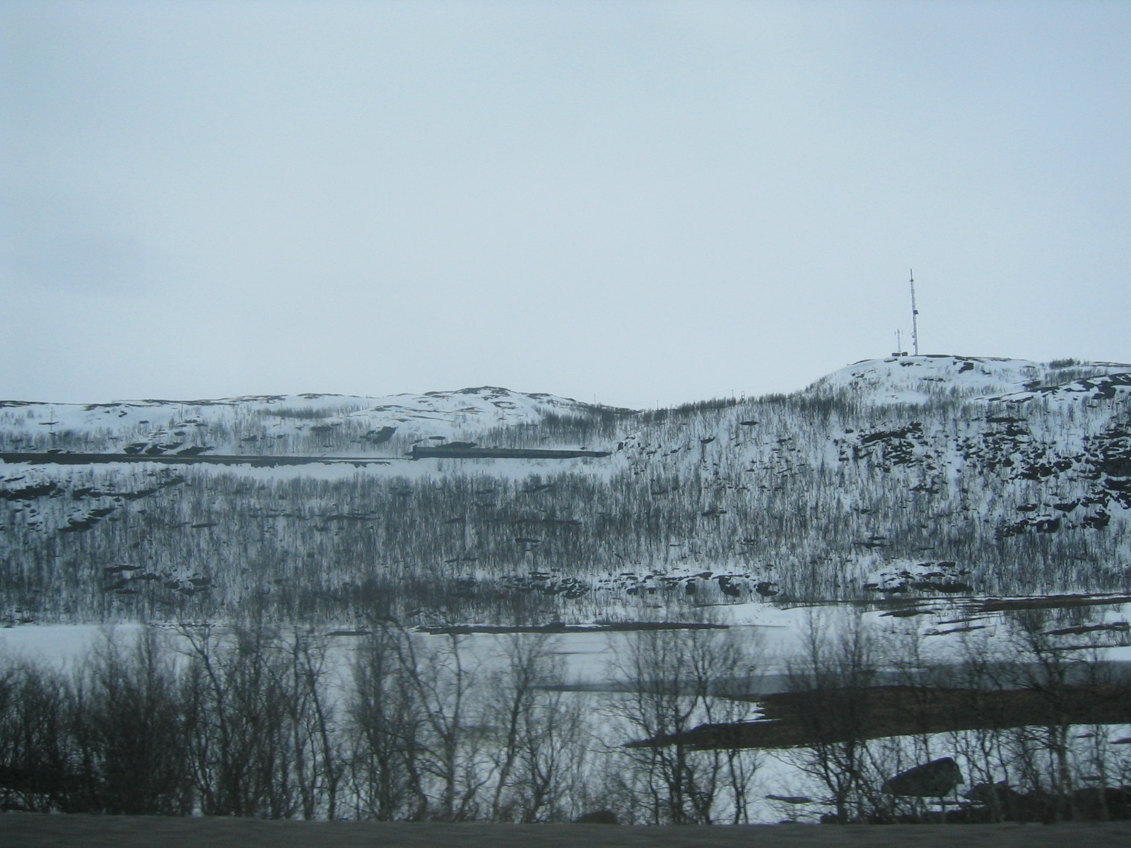
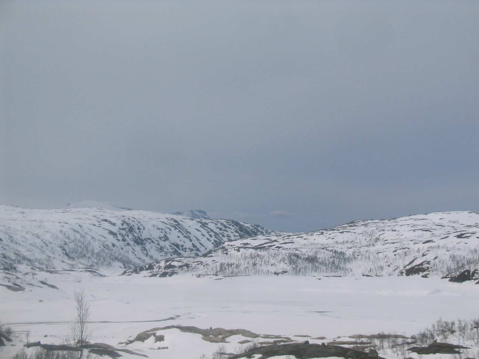
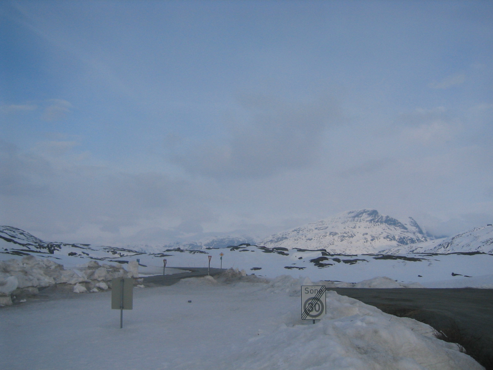
| The Swedish plateau near the Norwegian border. |
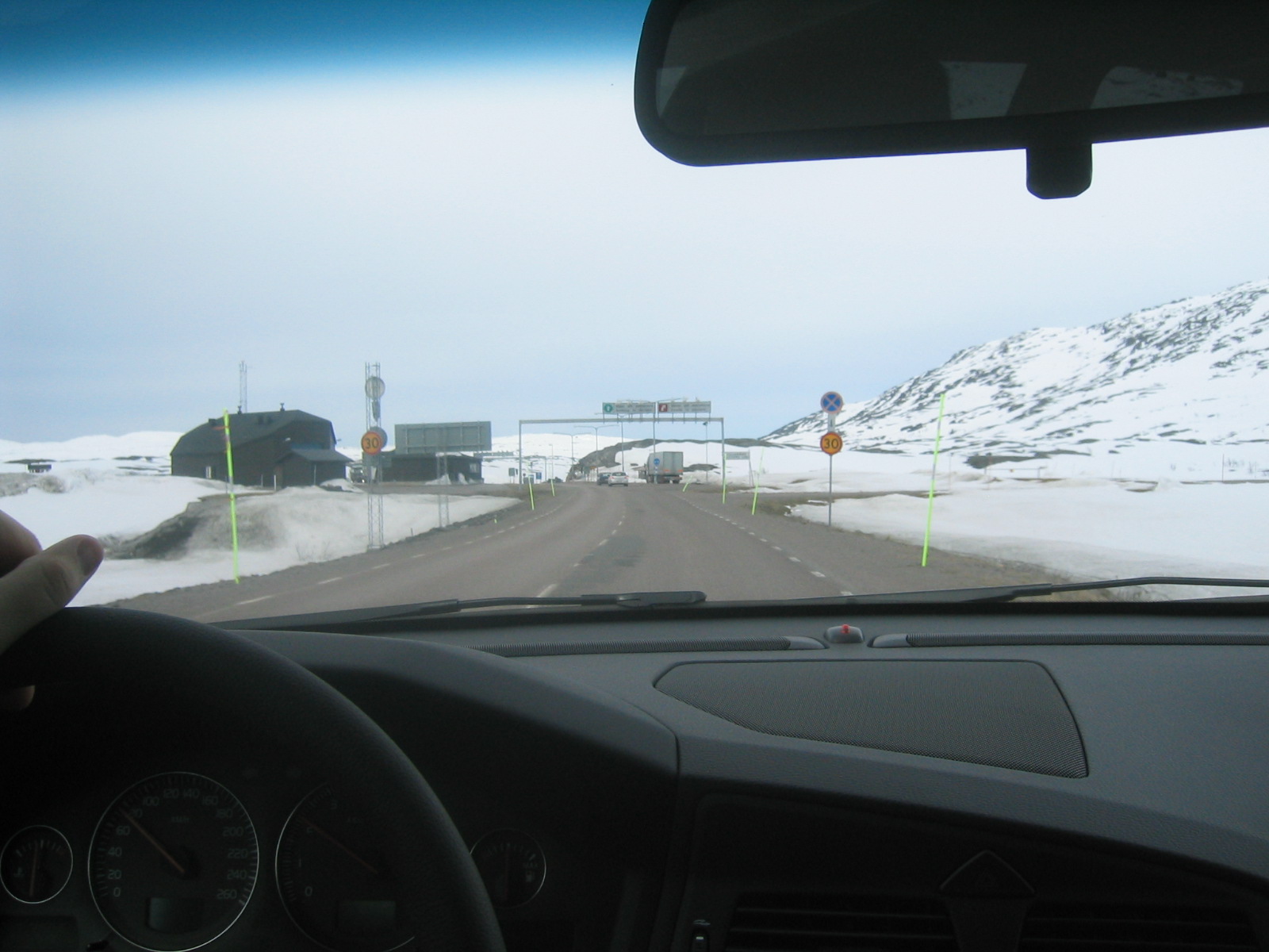
| Customs station. |
| Norge. |
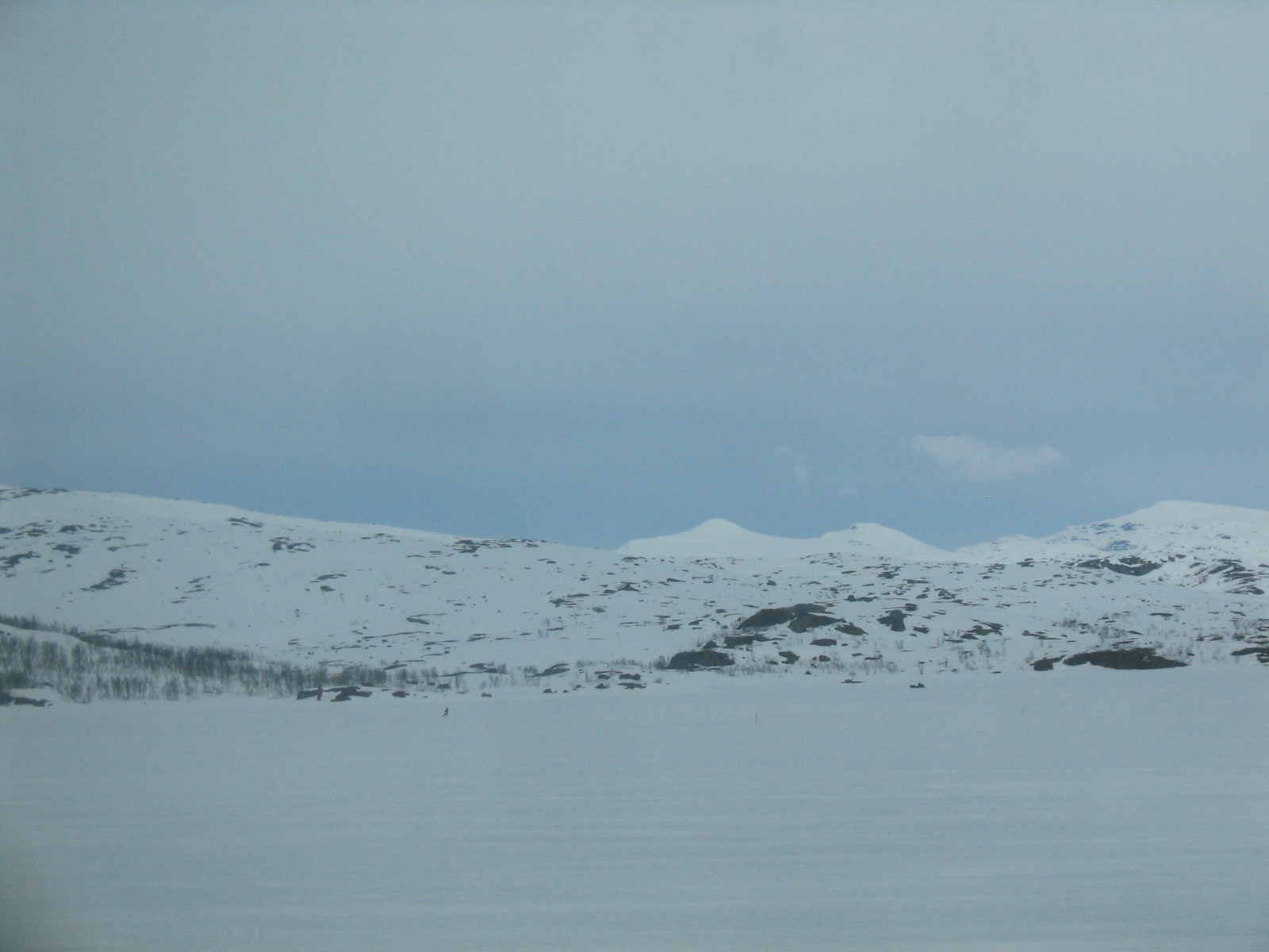
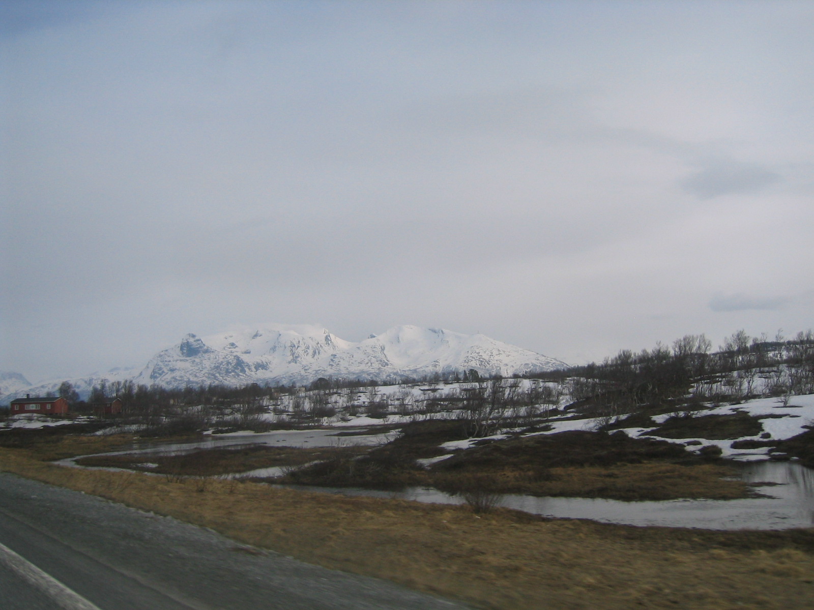
| The Norwegian plateau near the Swedish border. |
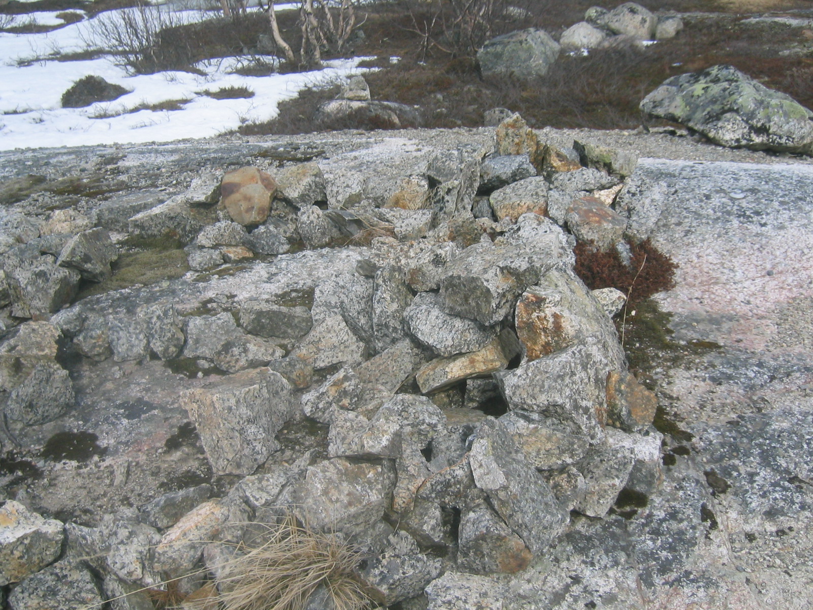
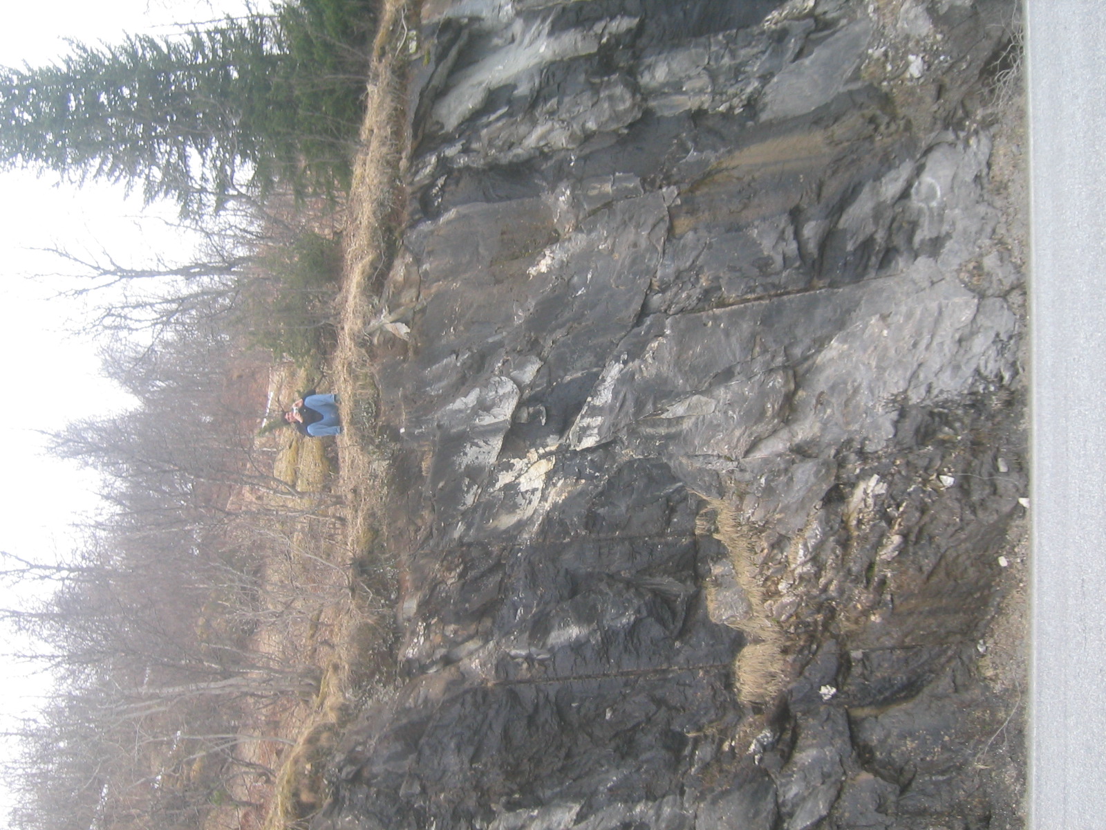
| Some sort of rock formation. |
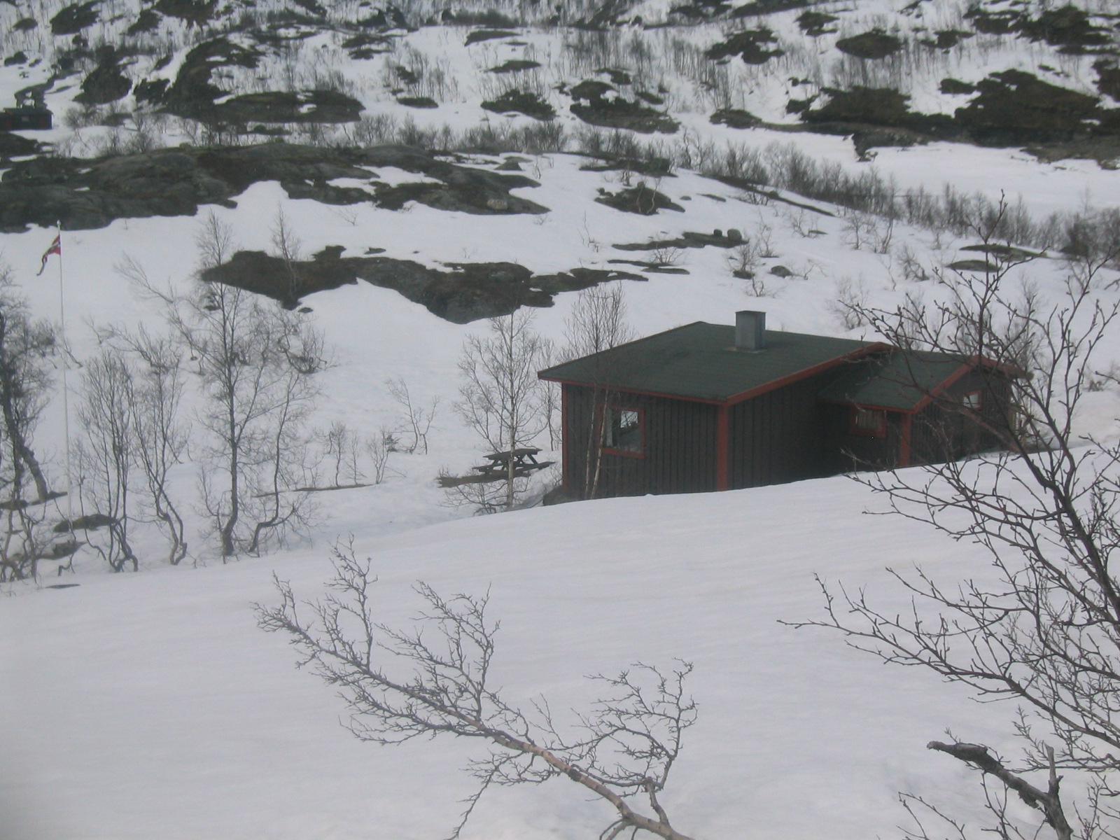
| A cabin in Norway. Many Norwegian houses in this area fly the Norwegian pennant or jack or whatever that you can see on the flagpole here. |
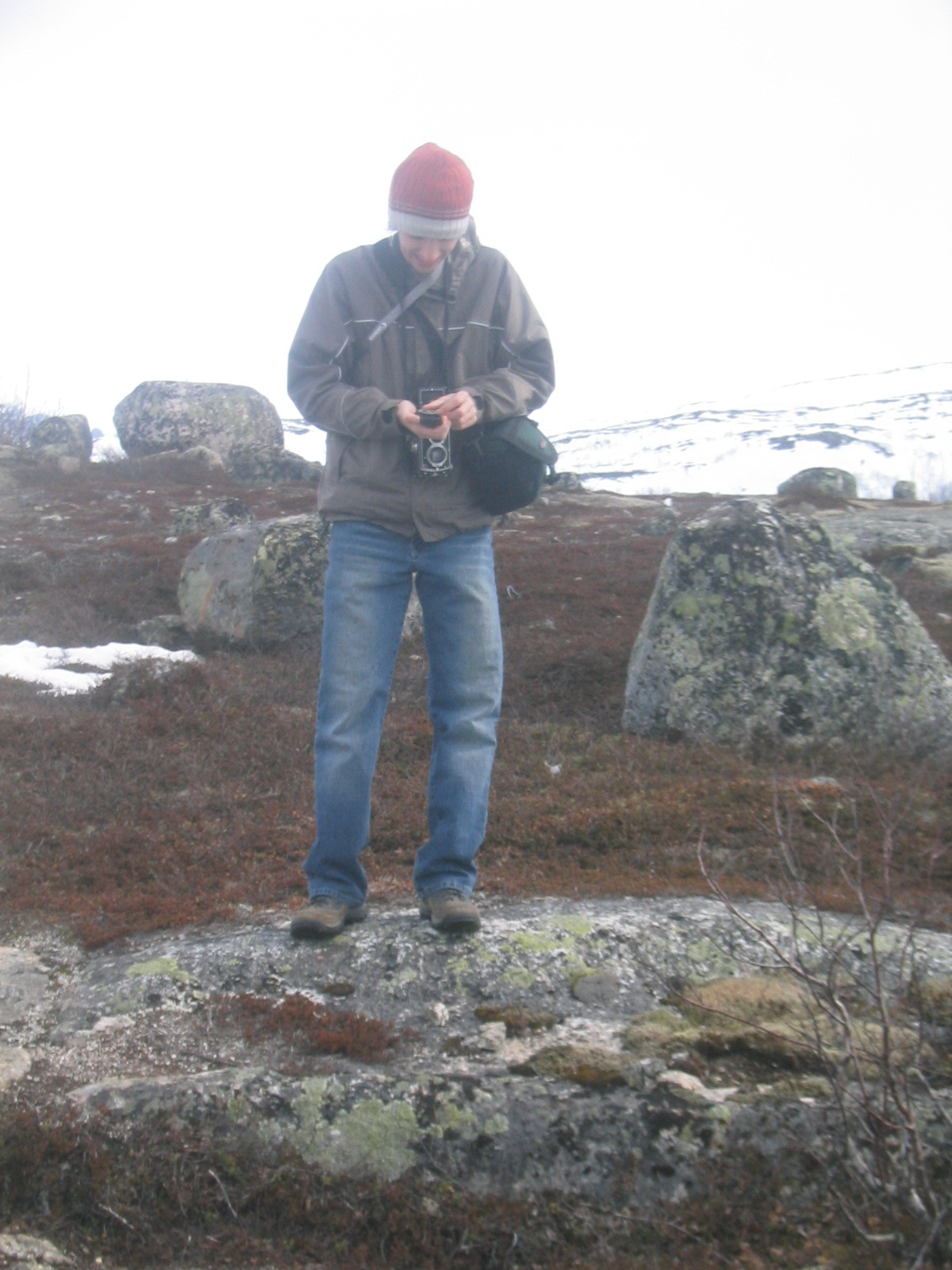
| Gaelen checks the light level. |
| A stream flowing west into the Arctic Ocean. |
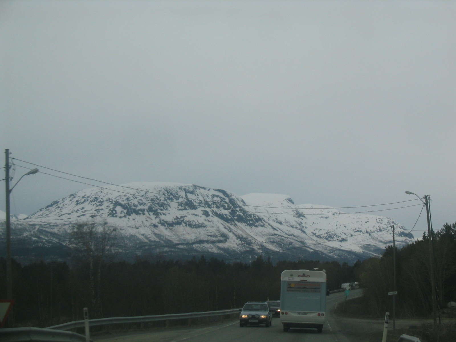
| Norwegian mountains. |
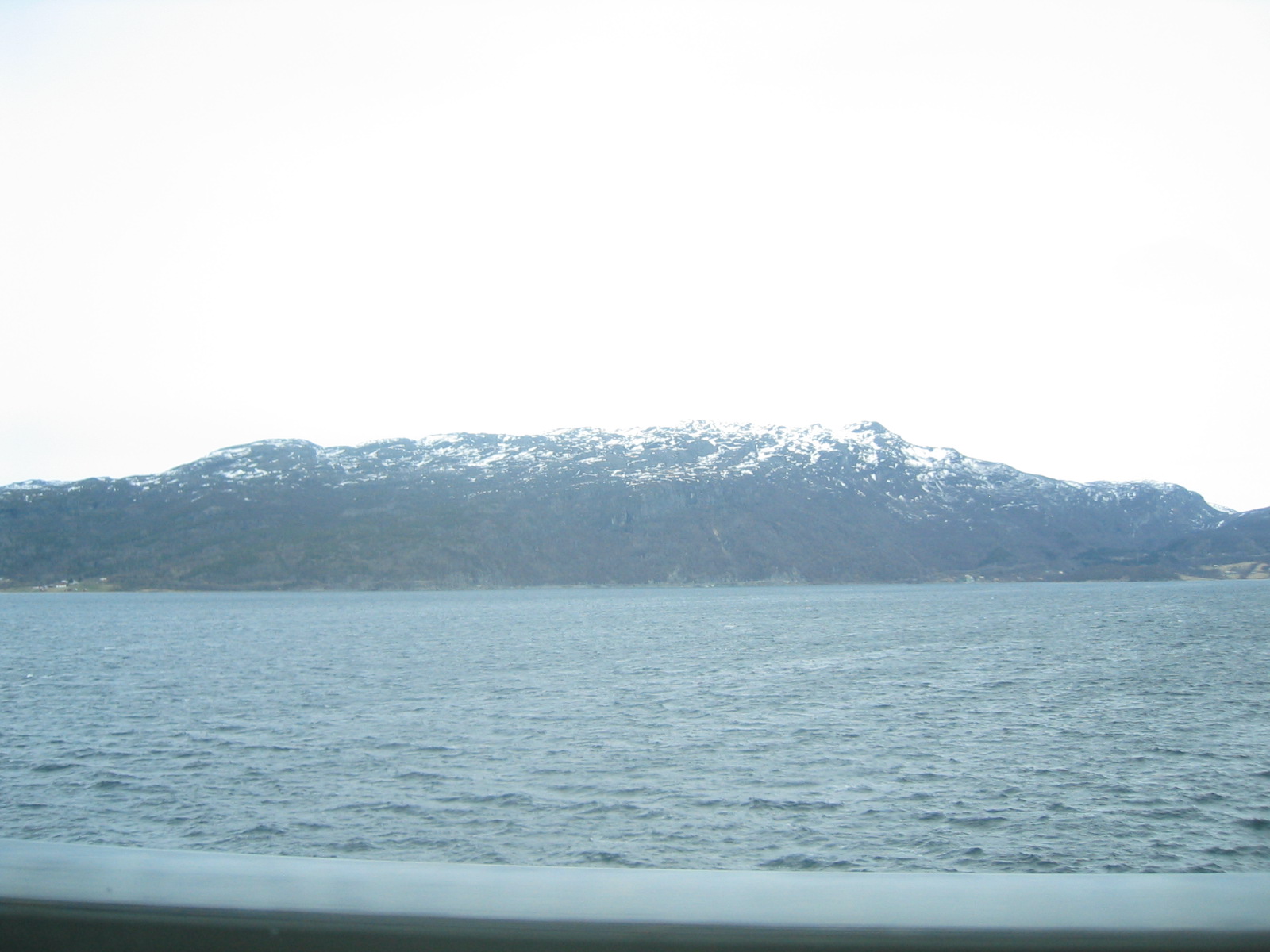
| Norwegian mountains and a fjord. |
| The fjord. |
| This funny picture is what happened when my camera decided it couldn't figure out the light level on its own. |
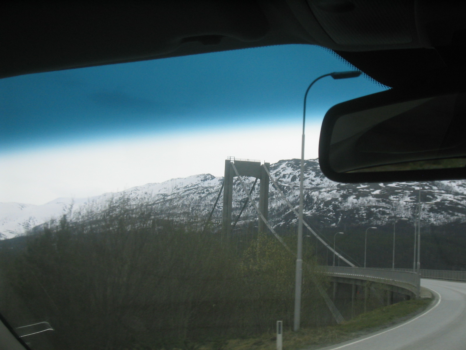
| Approaching the bridge to Narvik. |
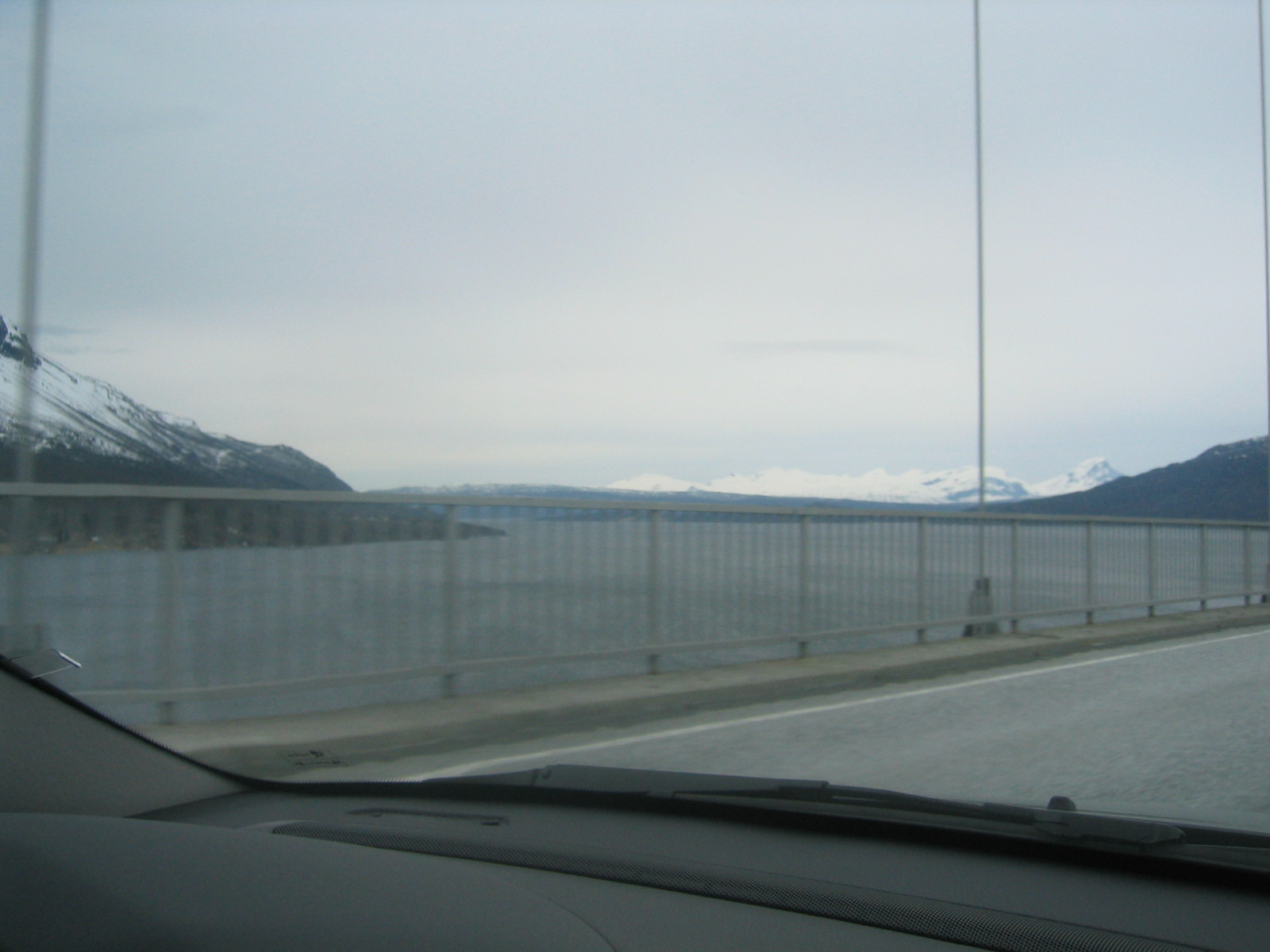
| Crossing the fjord. |
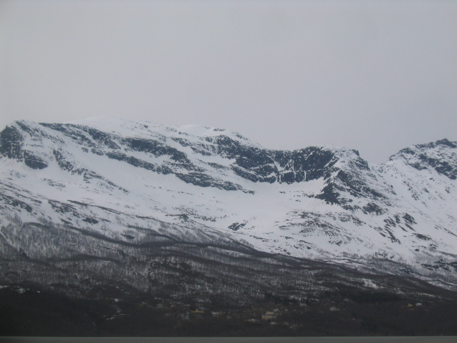
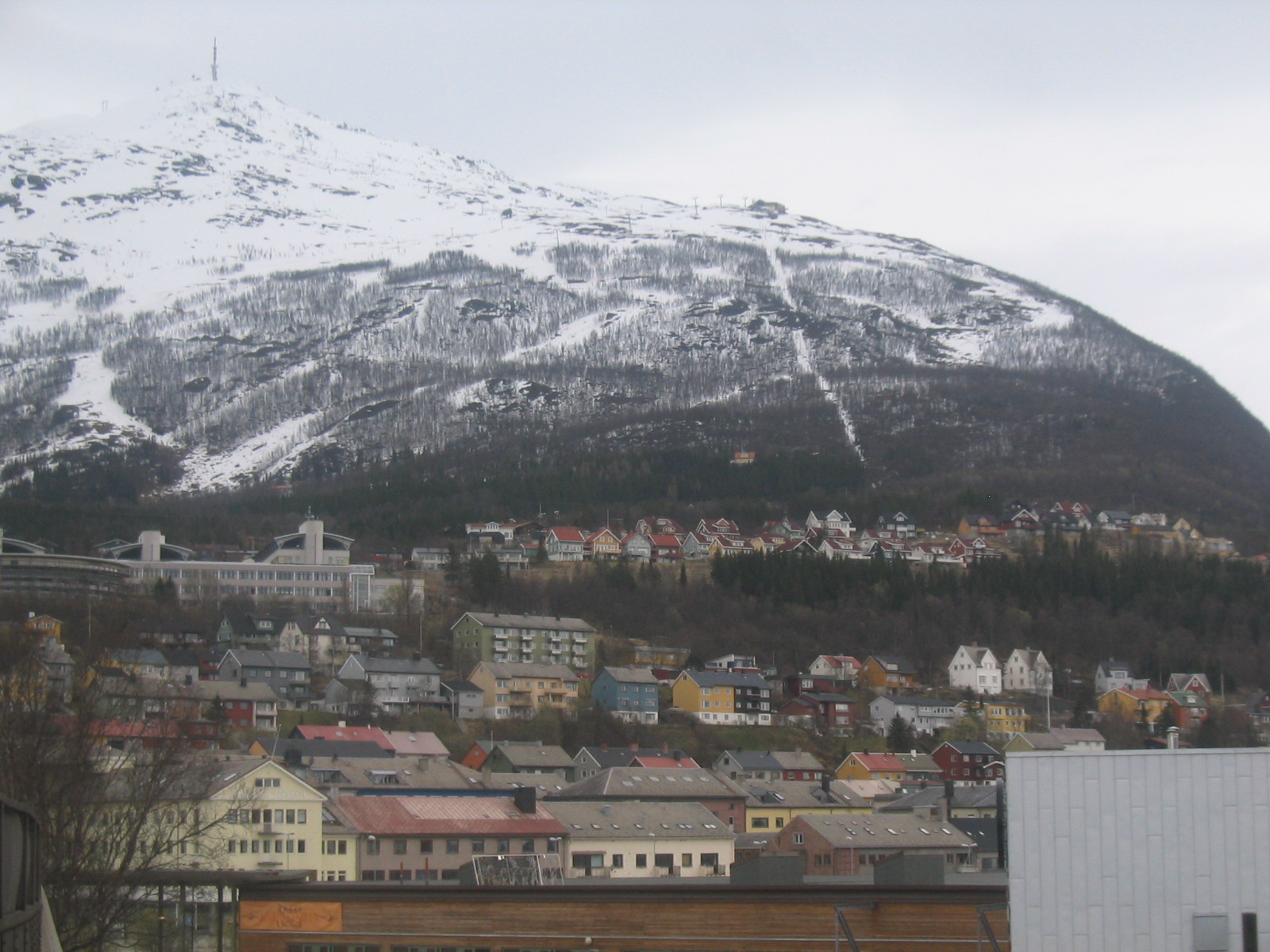
| Mountains around Narvik. |
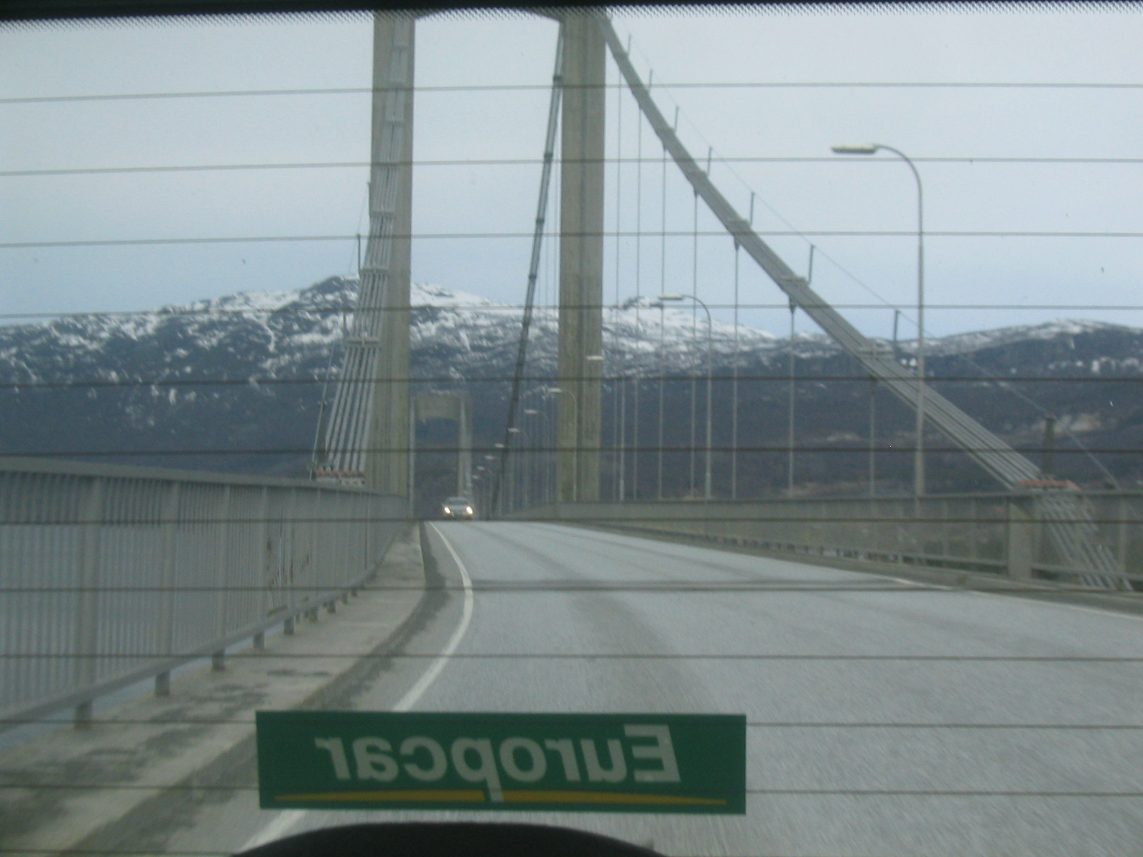
| Looking back at the suspension bridge. |
| Trees and mountains. |
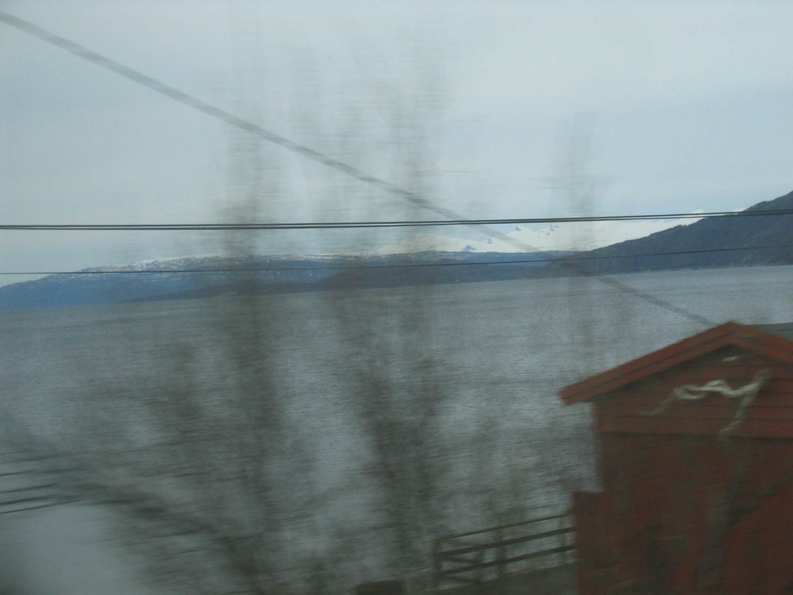
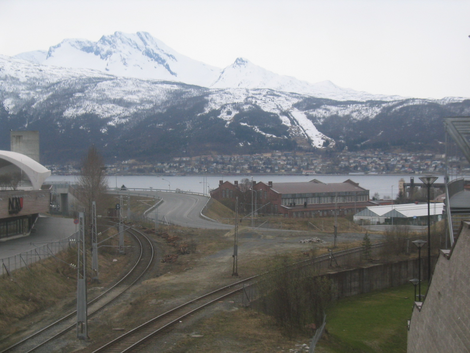
| Looking across Ofot Fjord. |
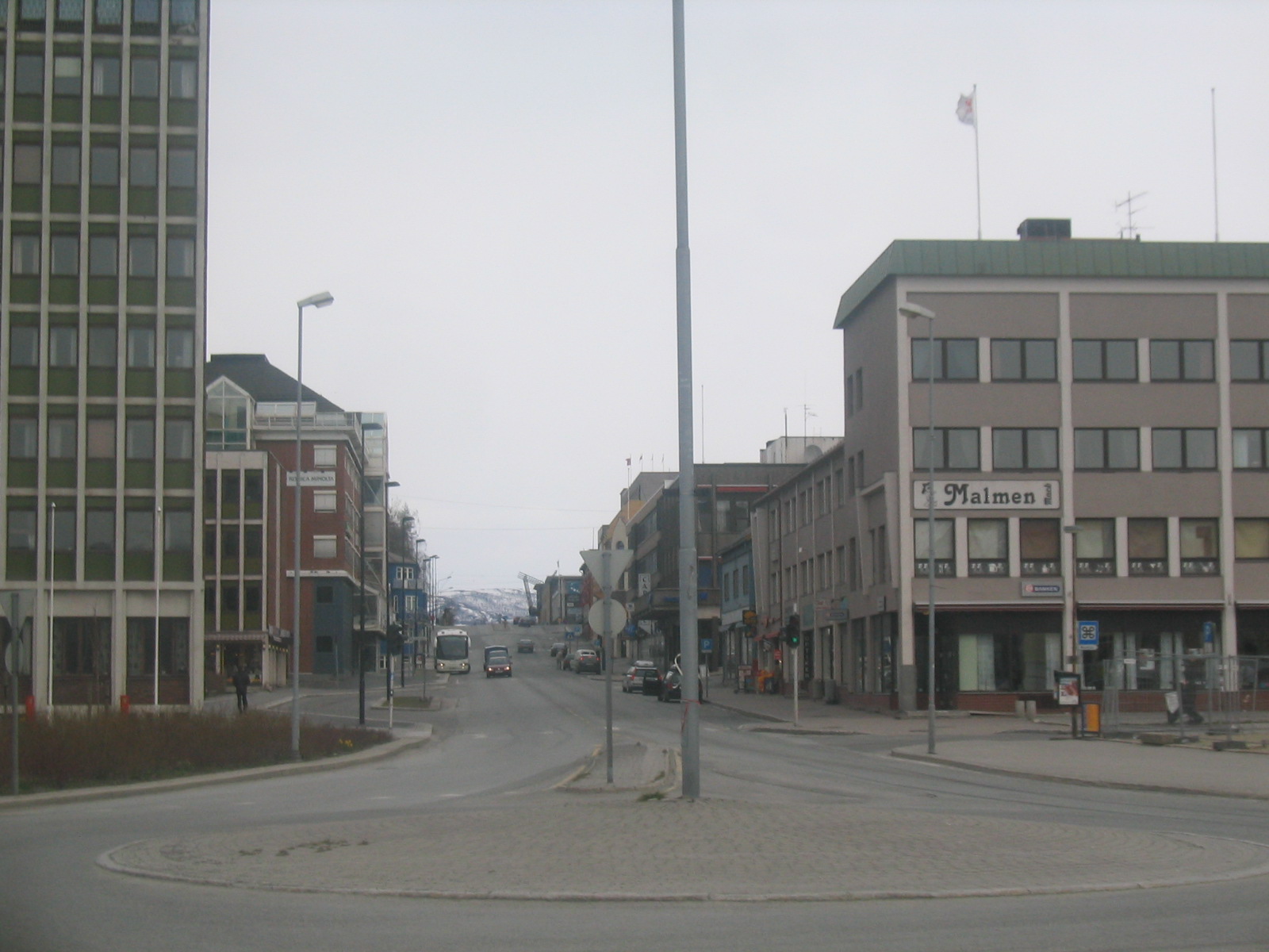
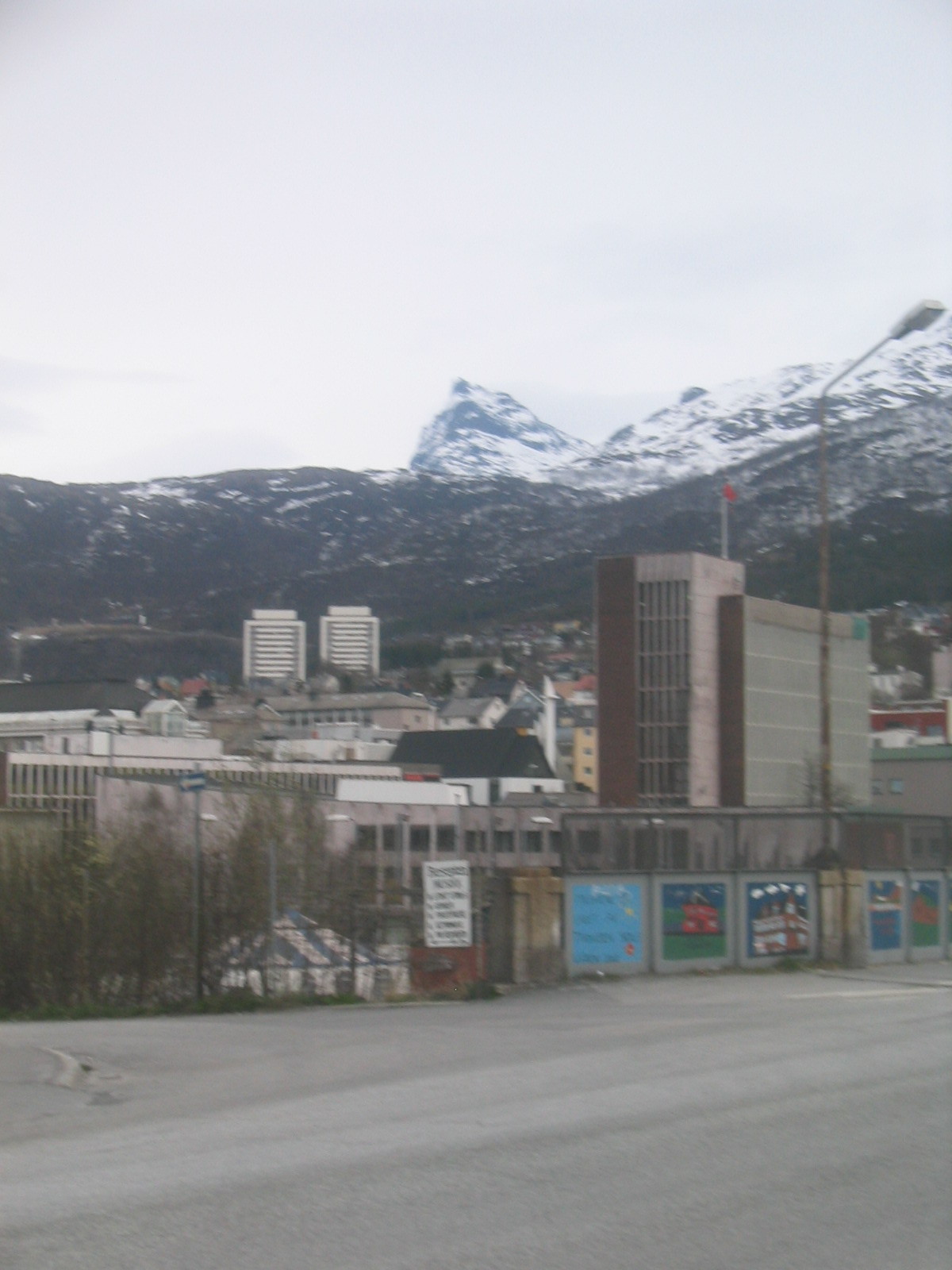
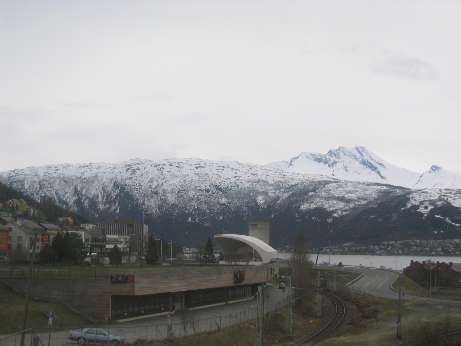
| Central Narvik. |
| Central Narvik. |
| The Fiskehallen Museum. |
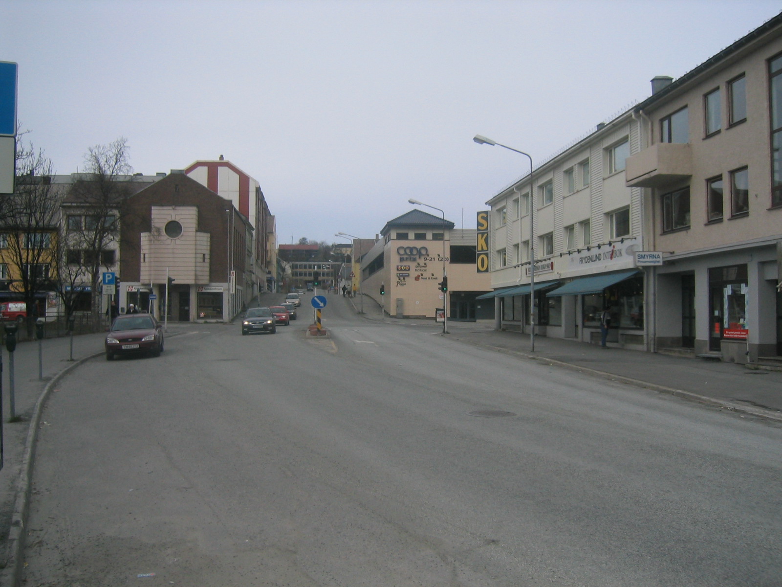
| Narvik. |
| Narvik. |
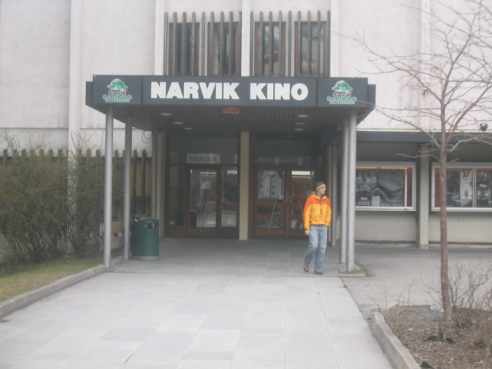
| Ed tries to take in a movie, or perhaps take out a book. |
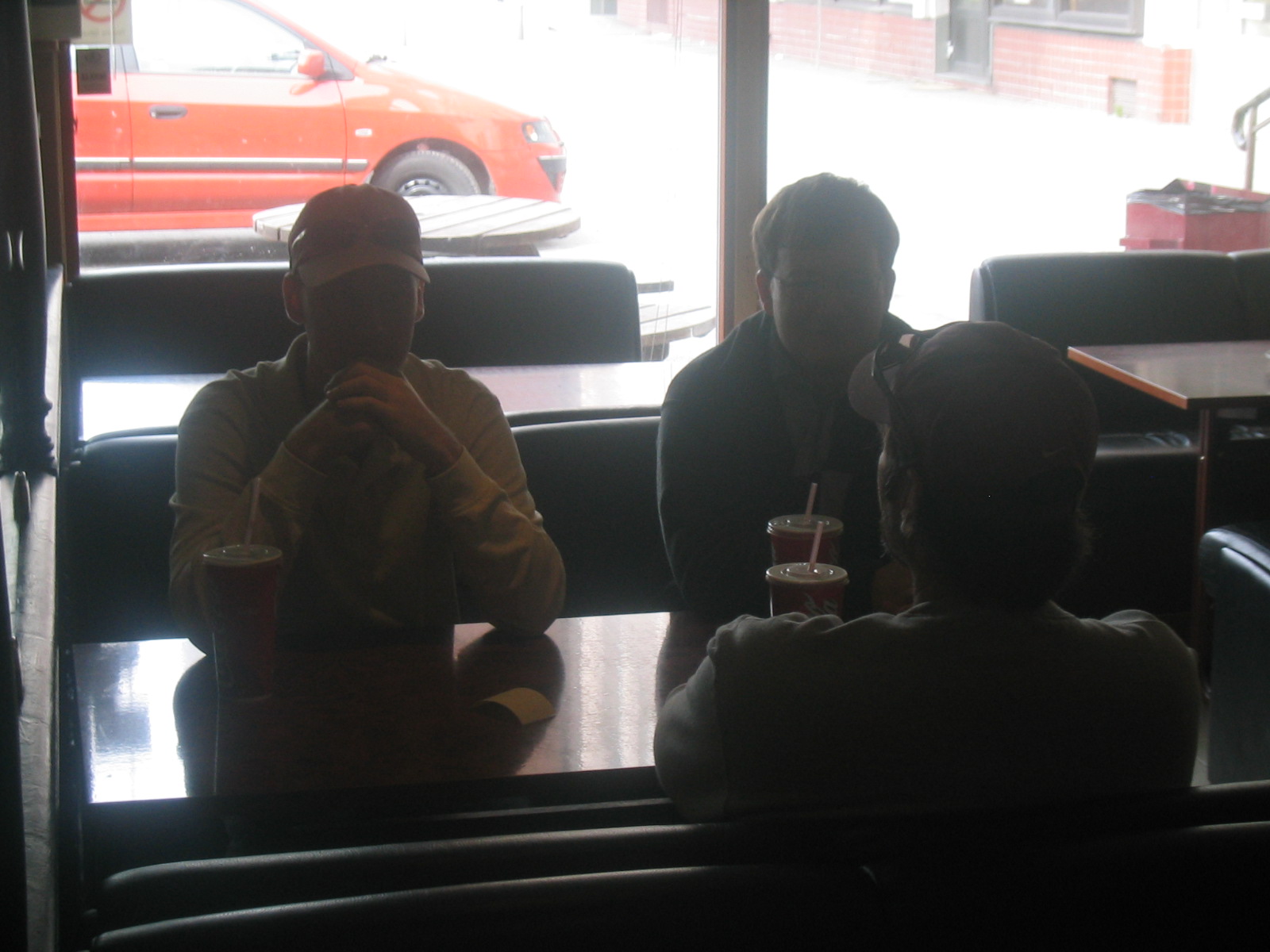
| Chris, Nathan and Brian in Narvik. |
| Narvik. |
| Narvik. |
| Narvik. |
| Back on the bridge over Ofotsfjord, heading north this time. |
| Back on the bridge over Ofotsfjord, heading north this time. |
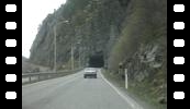
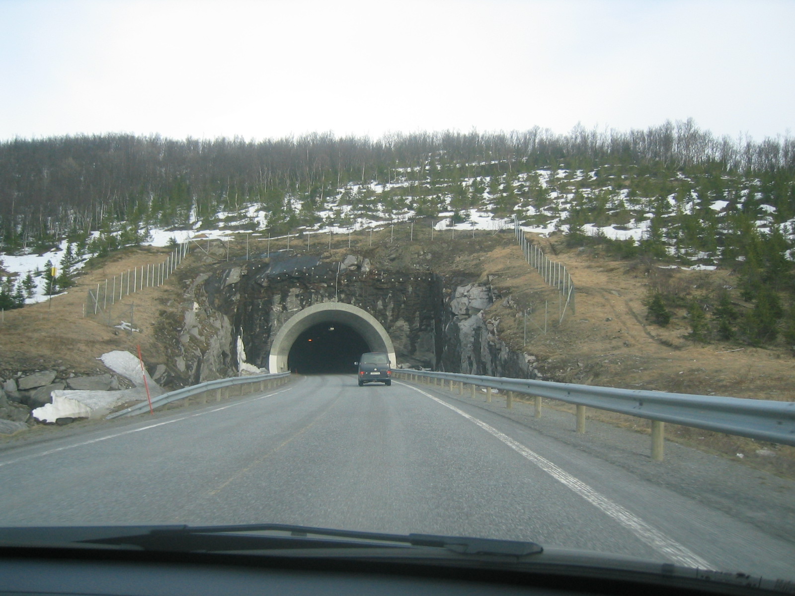
| A tunnel northwest of Narvik. |
| The road into Vesterålen. |
| The road into Vesterålen. |
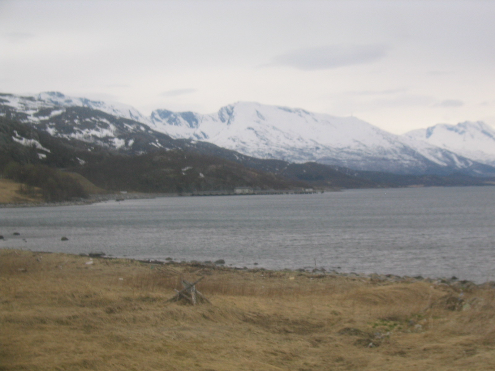
| Ofotsfjord. |
| Ofotsfjord. |
| Gaelen and Marie walk along the strand. |
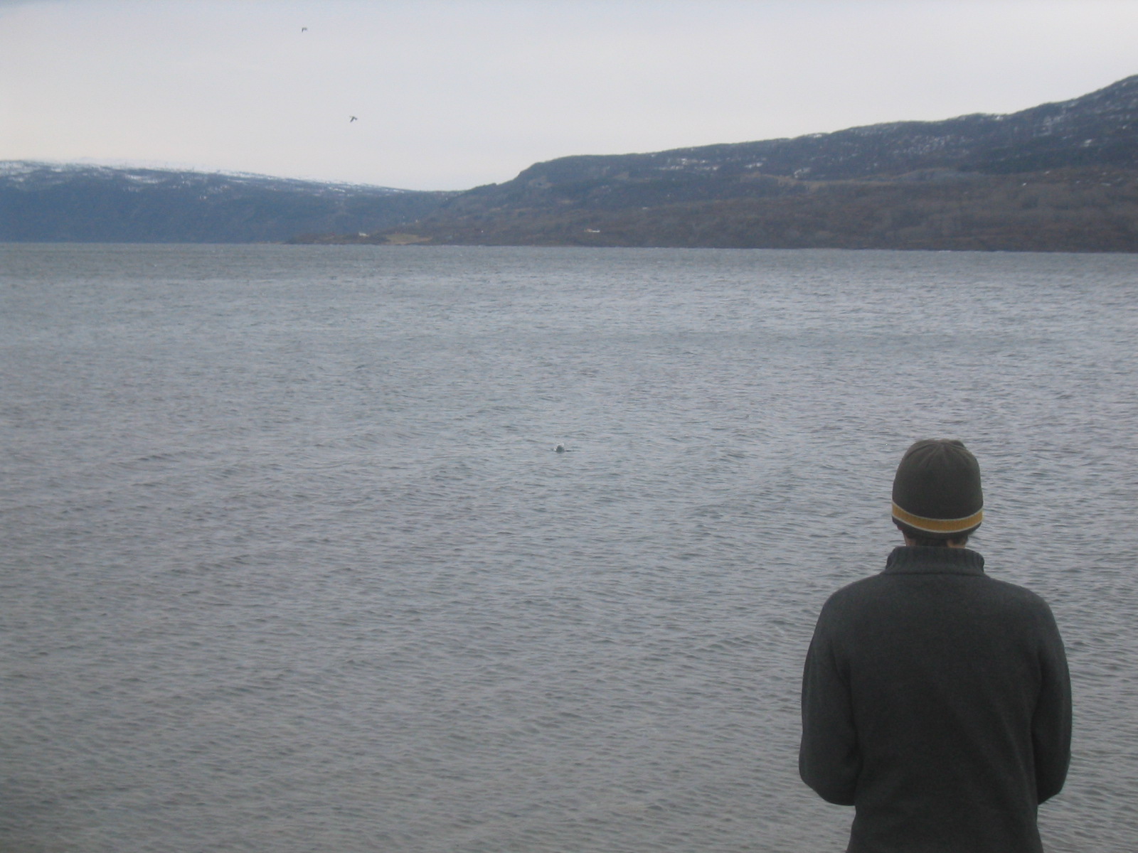
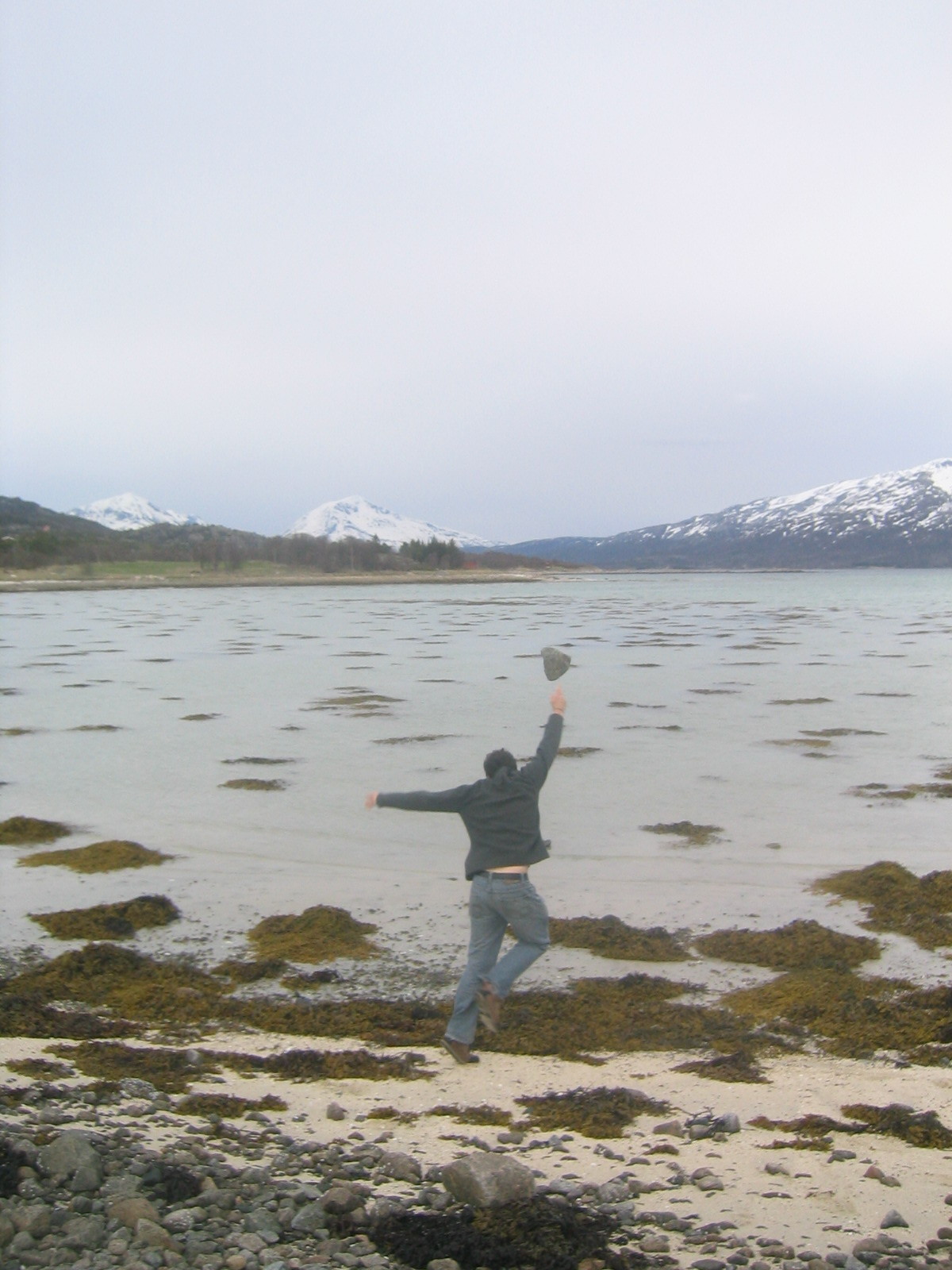
| Ed skips stones. |
| Ed skips stones. |
| Norwegian mountains across the fjord. |
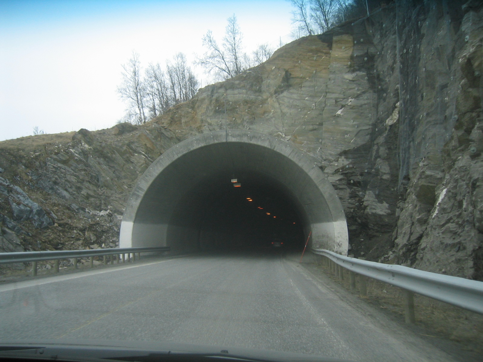
| Another tunnel. |
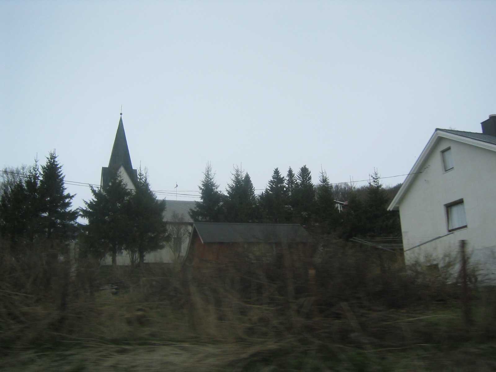
| A church in some Norwegian town. |
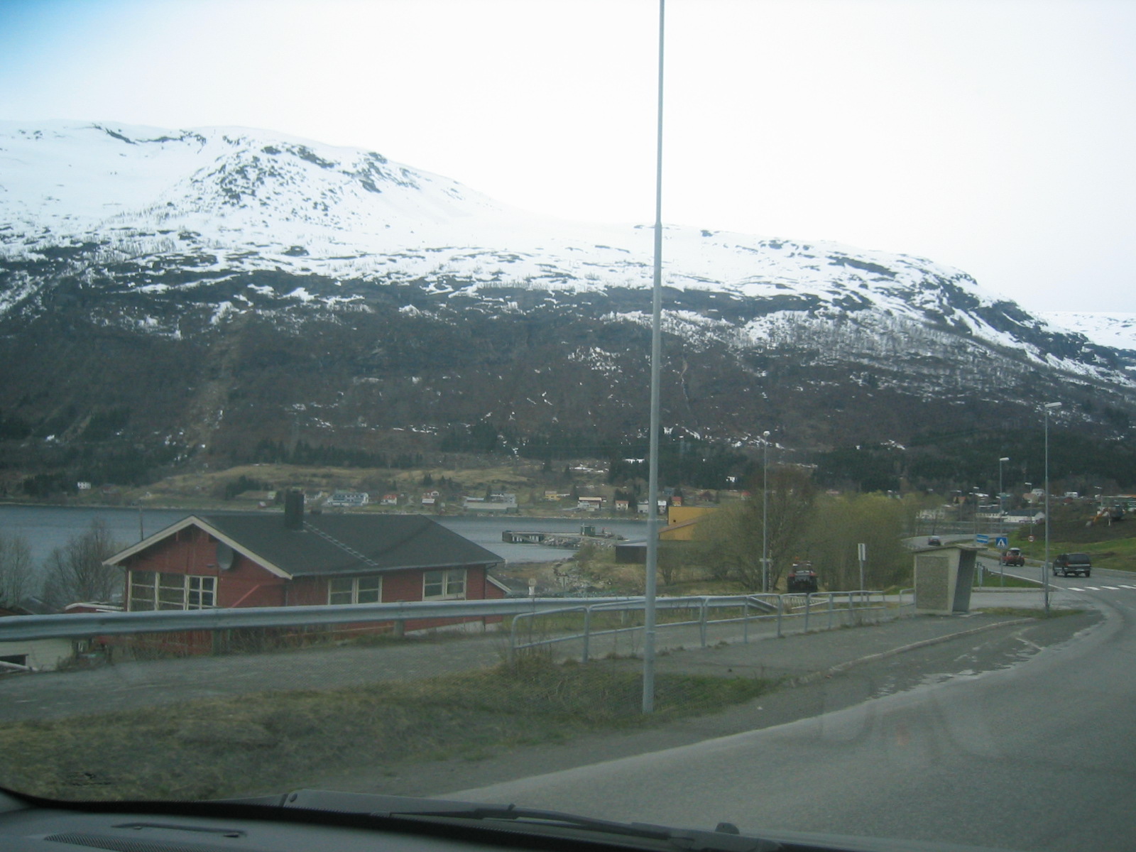
| Typical northern Norway. |
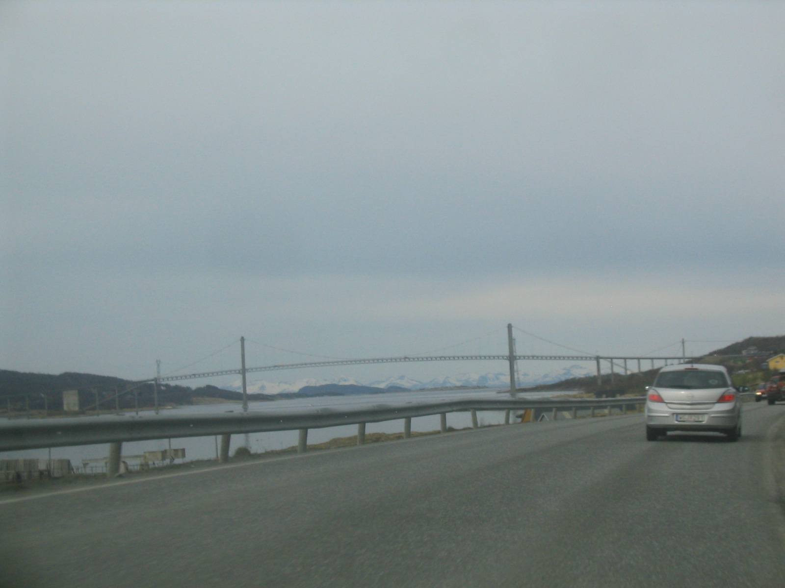
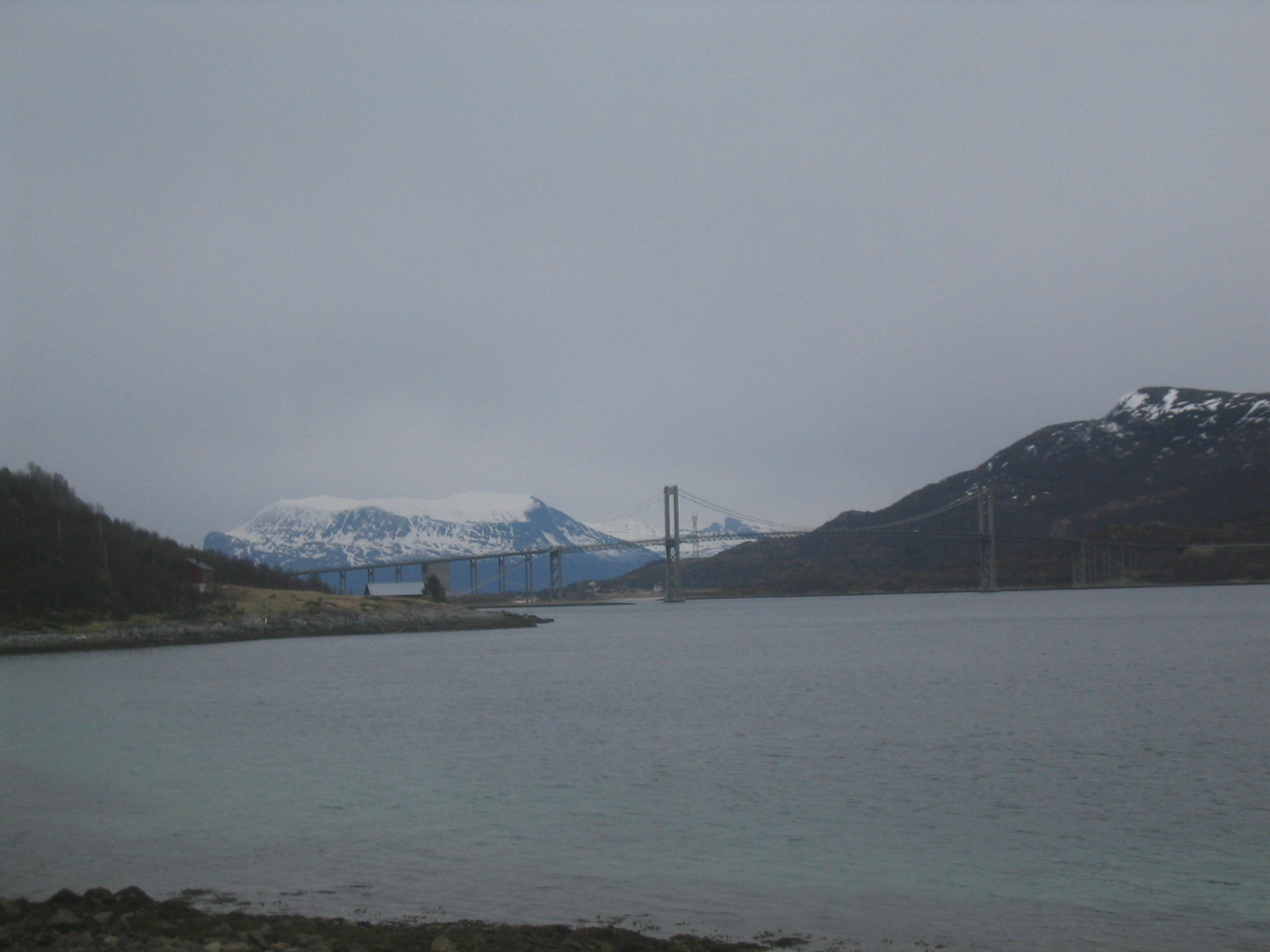
| Approaching the bridge over to Vesterålen. |
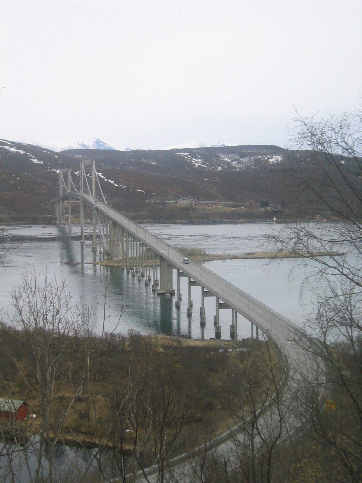
| The Vesterålen bridge. |
| The Vesterålen bridge. |
| Marco takes some pictures from the bluff. |
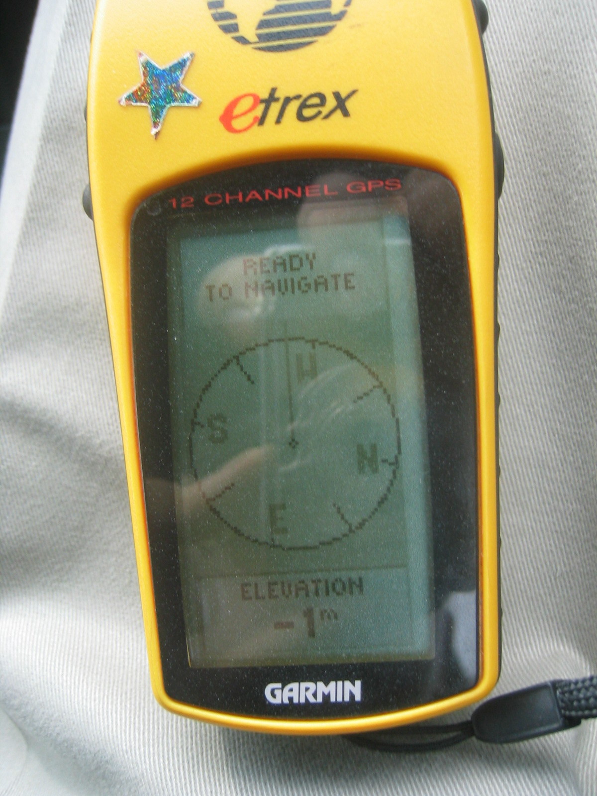
| According to GPS, we're below sea level, which is odd, because we don't appear to be wet. |
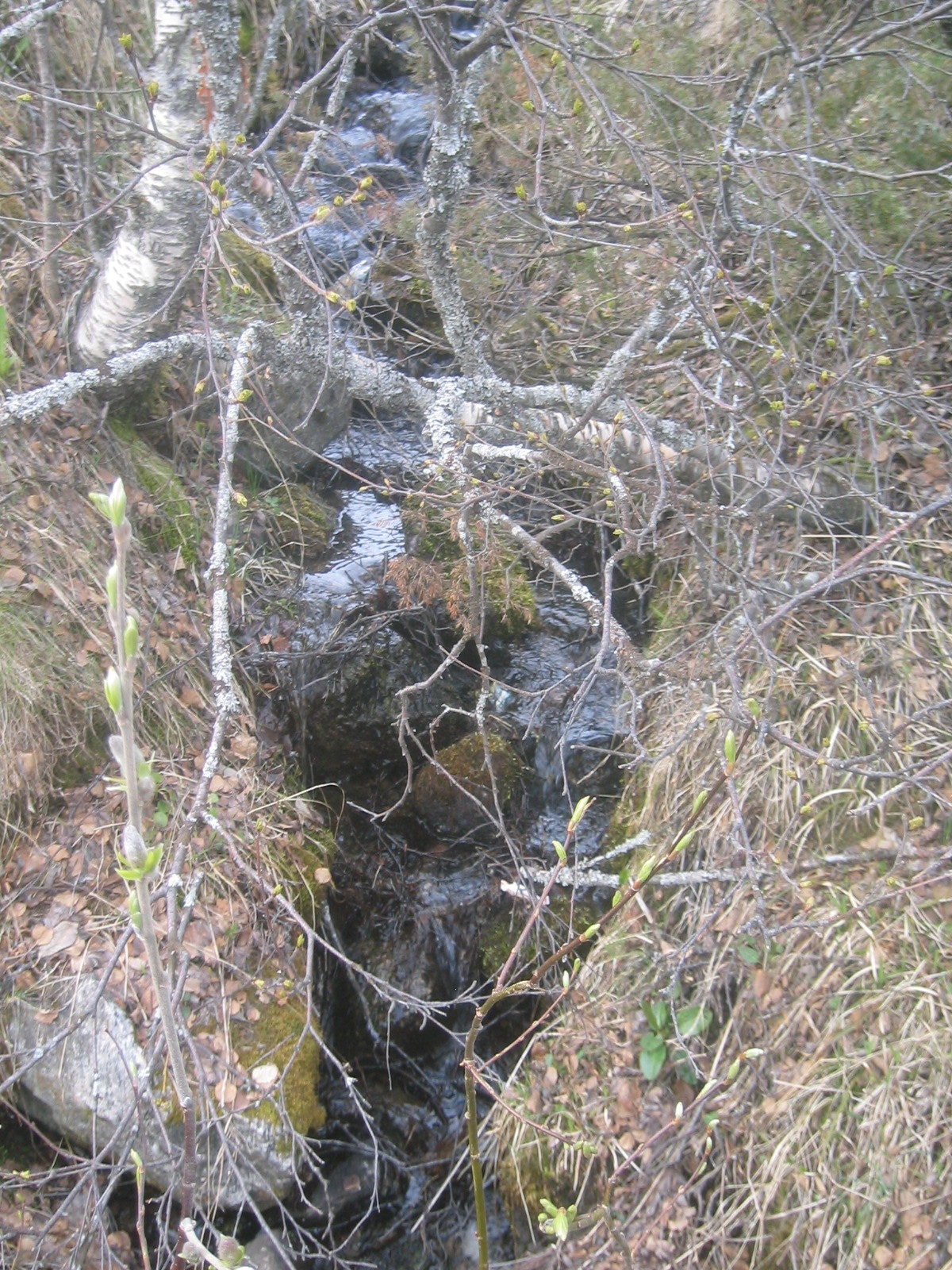
| A creek running to the sea. |
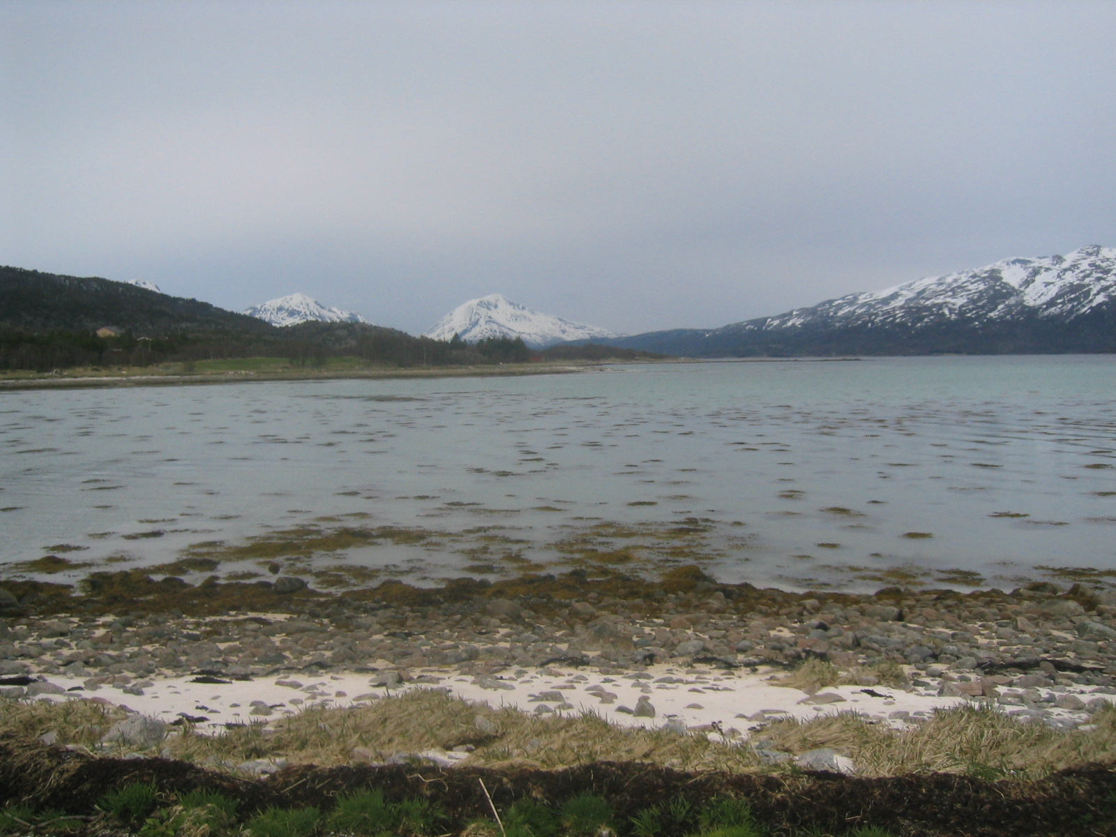
| Looking out towards the Vestfjord. |
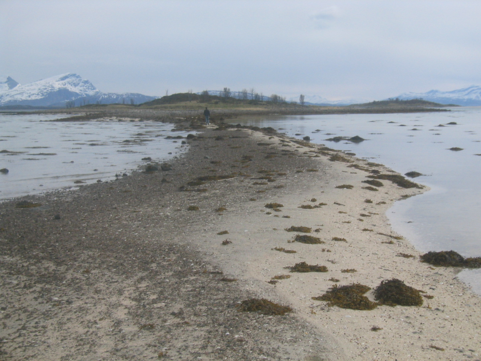
| Ed walks out to the spit. |
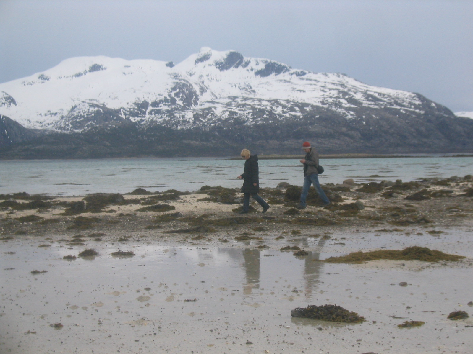
| Gaelen, Marie and Matt on the beach. |
| The view from the spit. |
| Panorama from the top of the spit. |
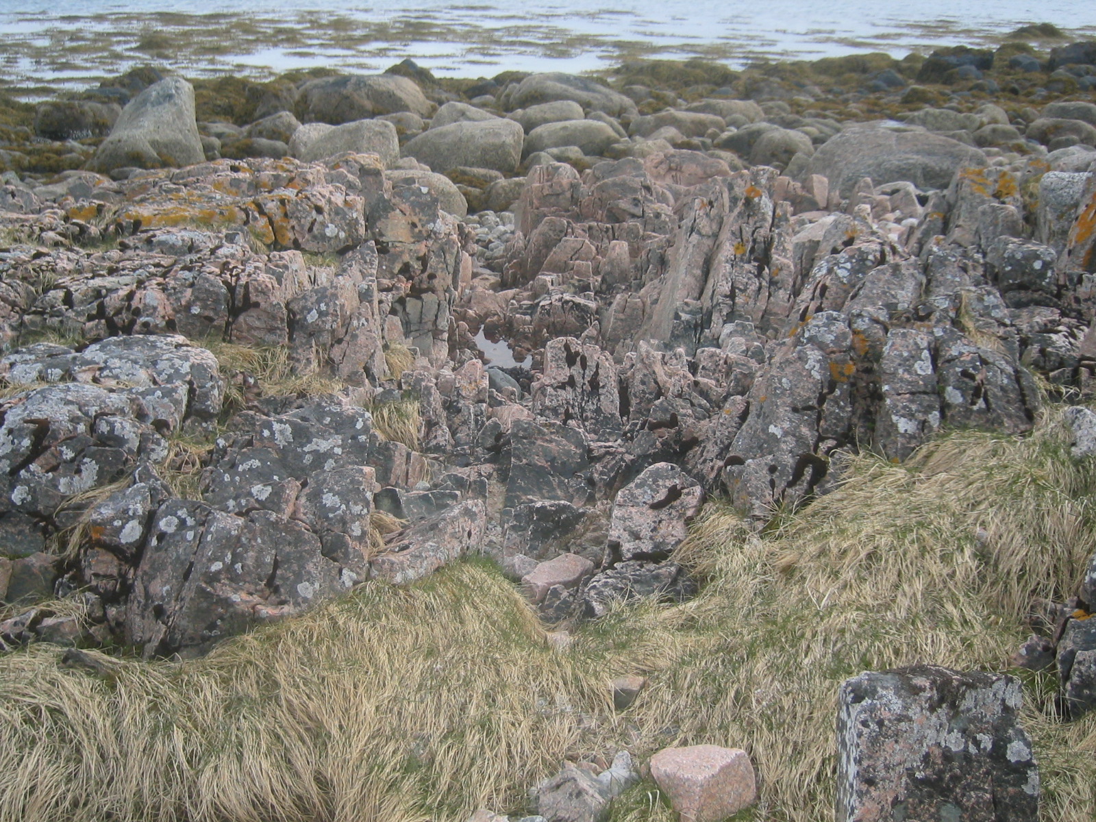
| Rock formations. |
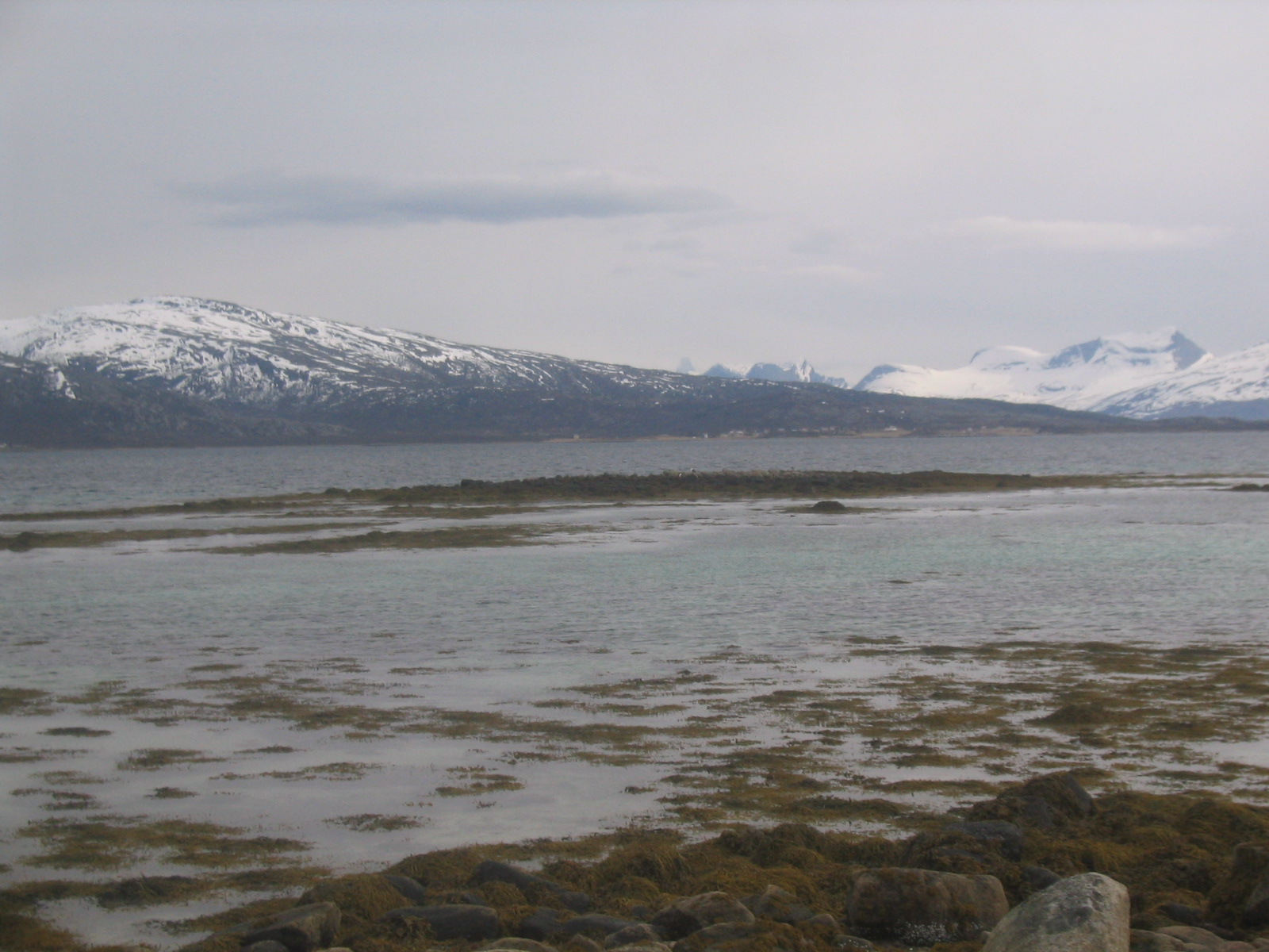
| Vestfjord. |
| Marie's shells. |
| Matt, Gaelen and Ed on the beach. |
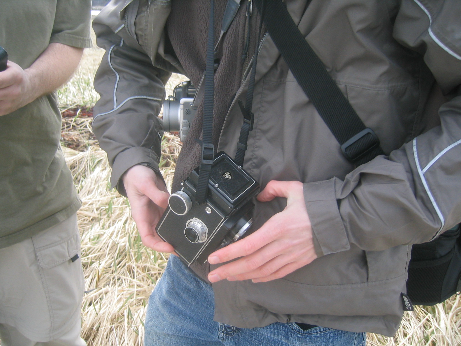
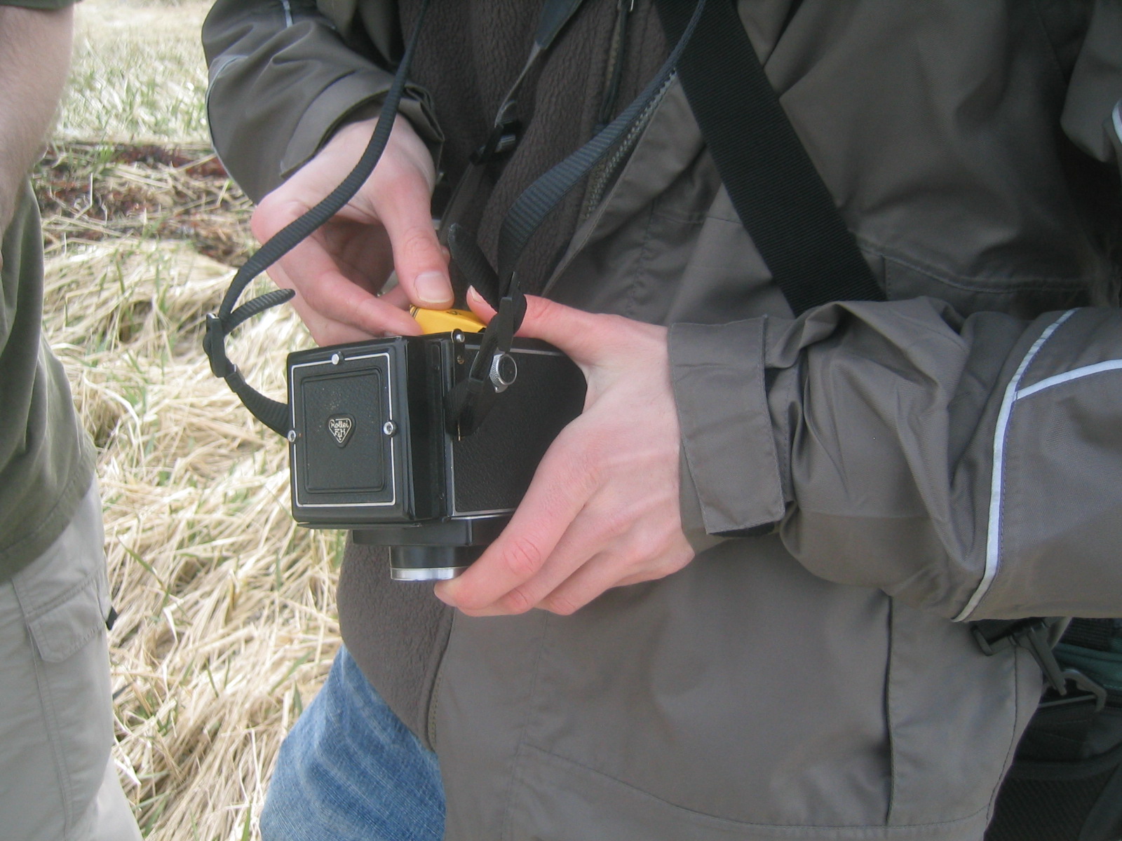
| Gaelen changes the film in his camera. |
| Gaelen changes the film in his camera. |
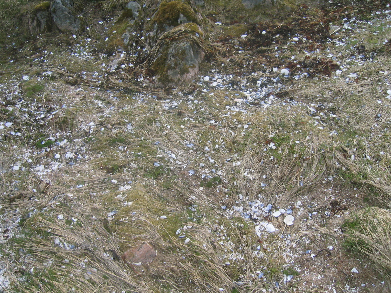
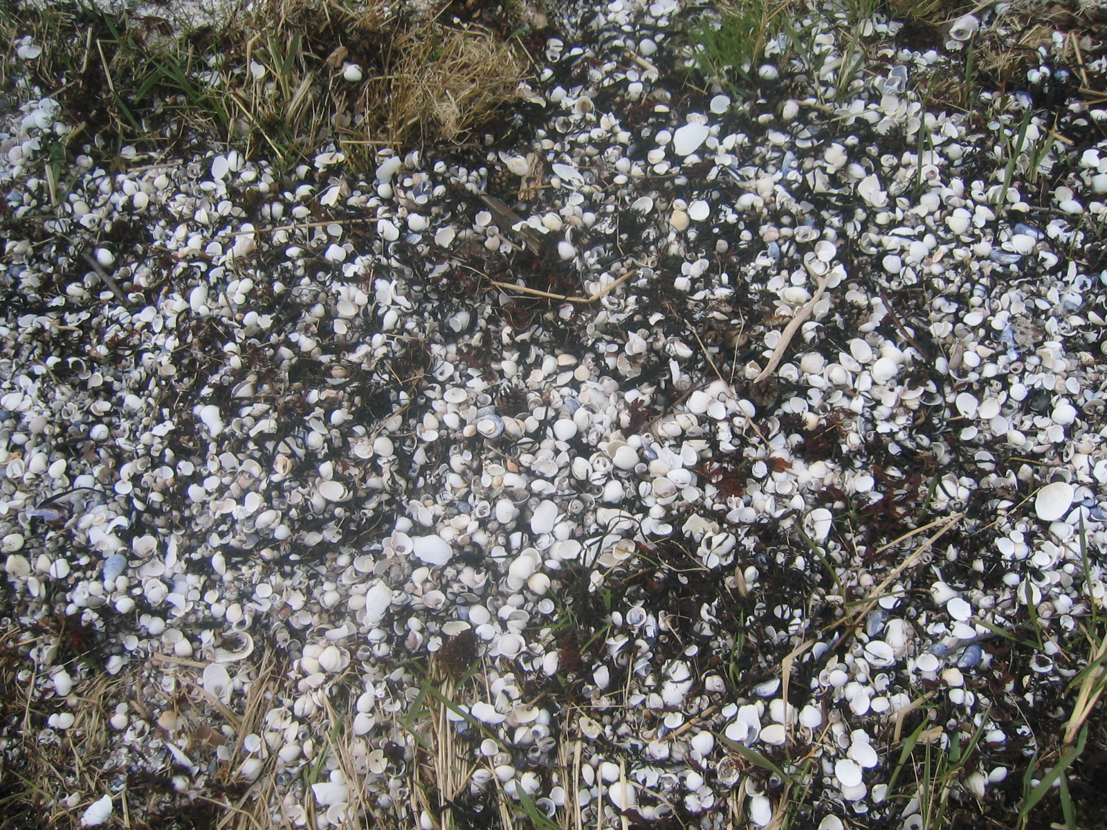
| Broken shells on the ground. There were lots of these. |
| Ed throws a rock into the ocean. |
| Marie and Gaelen walking back to the mainland. |
| An even larger pile of shells. |
| Pussywillows. |
| Back at the Vesterålen bridge. |
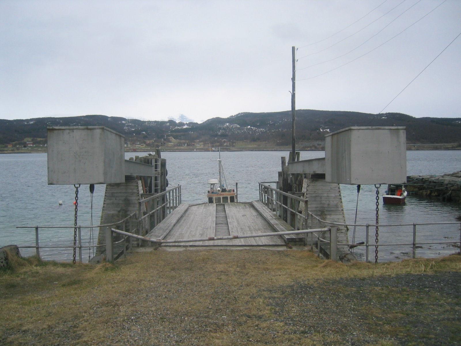
| A dock on Ofotsfjord. |
| Norwegian mountains. |
| Tunnel. |
| Ofotsfjord again. |
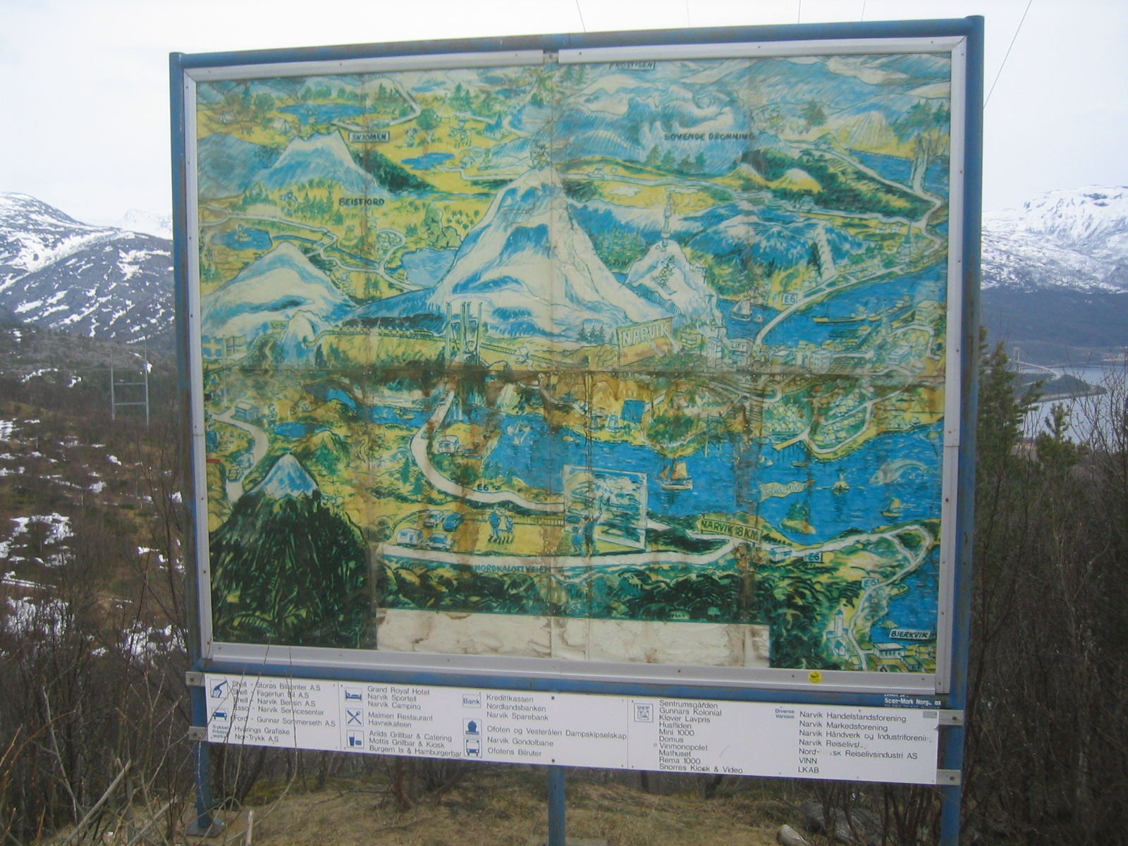
| A map of the area, which conveniently blocks the view of the bridge to Narvik. |
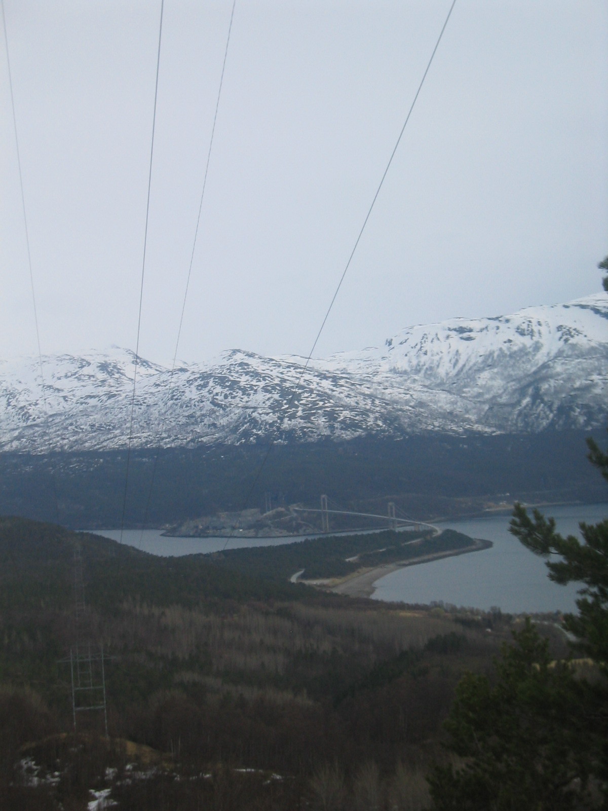
| The bridge to Narvik over the end of Ofotsfjord. |
| Matt comes to a stop. |
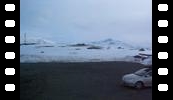
| Back on the plateau. The climate and scenery is markedly different. |
| Typical cabins on the plateau. |
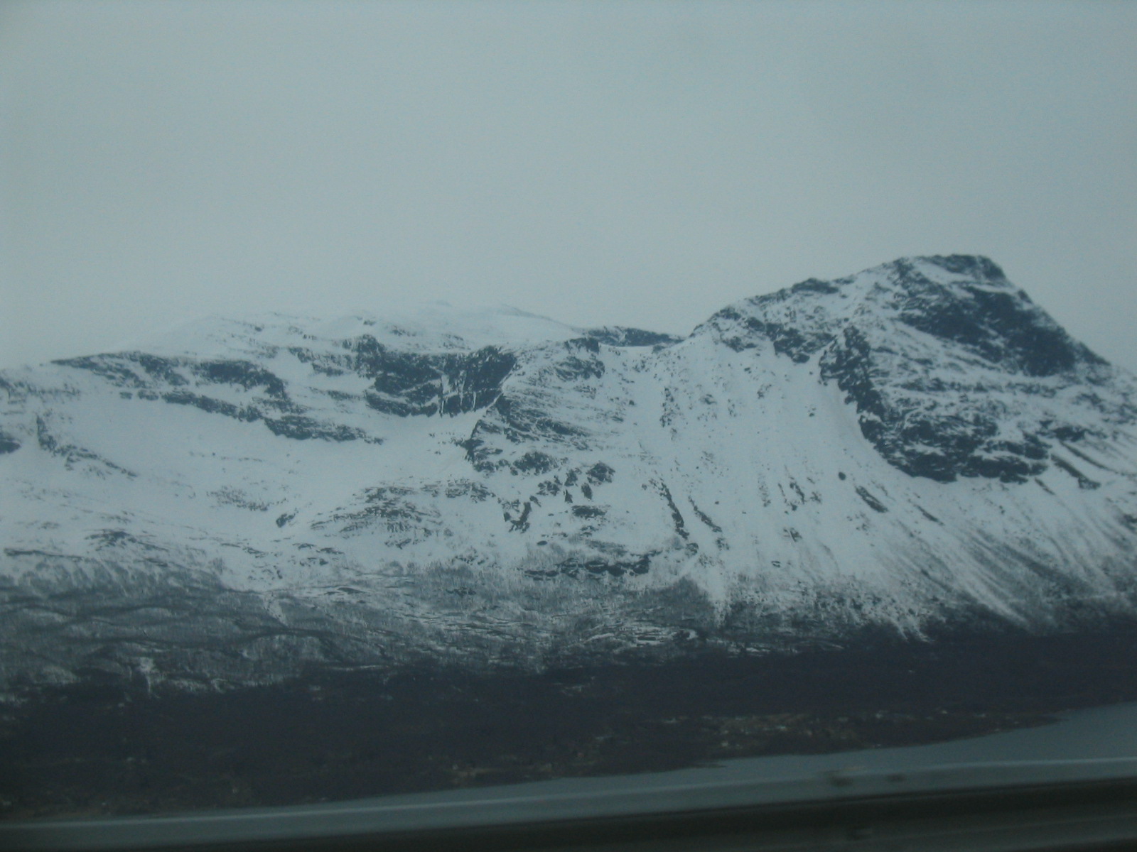
| Mountains. |
| A panorama of the plateau. |
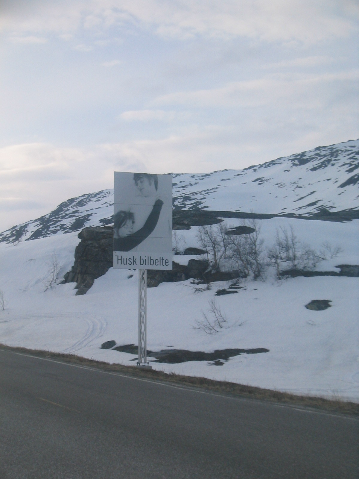
| Husk bilbelte. |
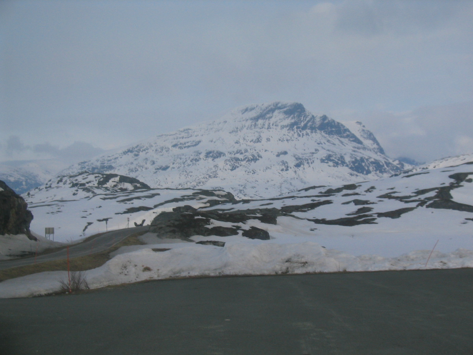
| A Norwegian peak. |
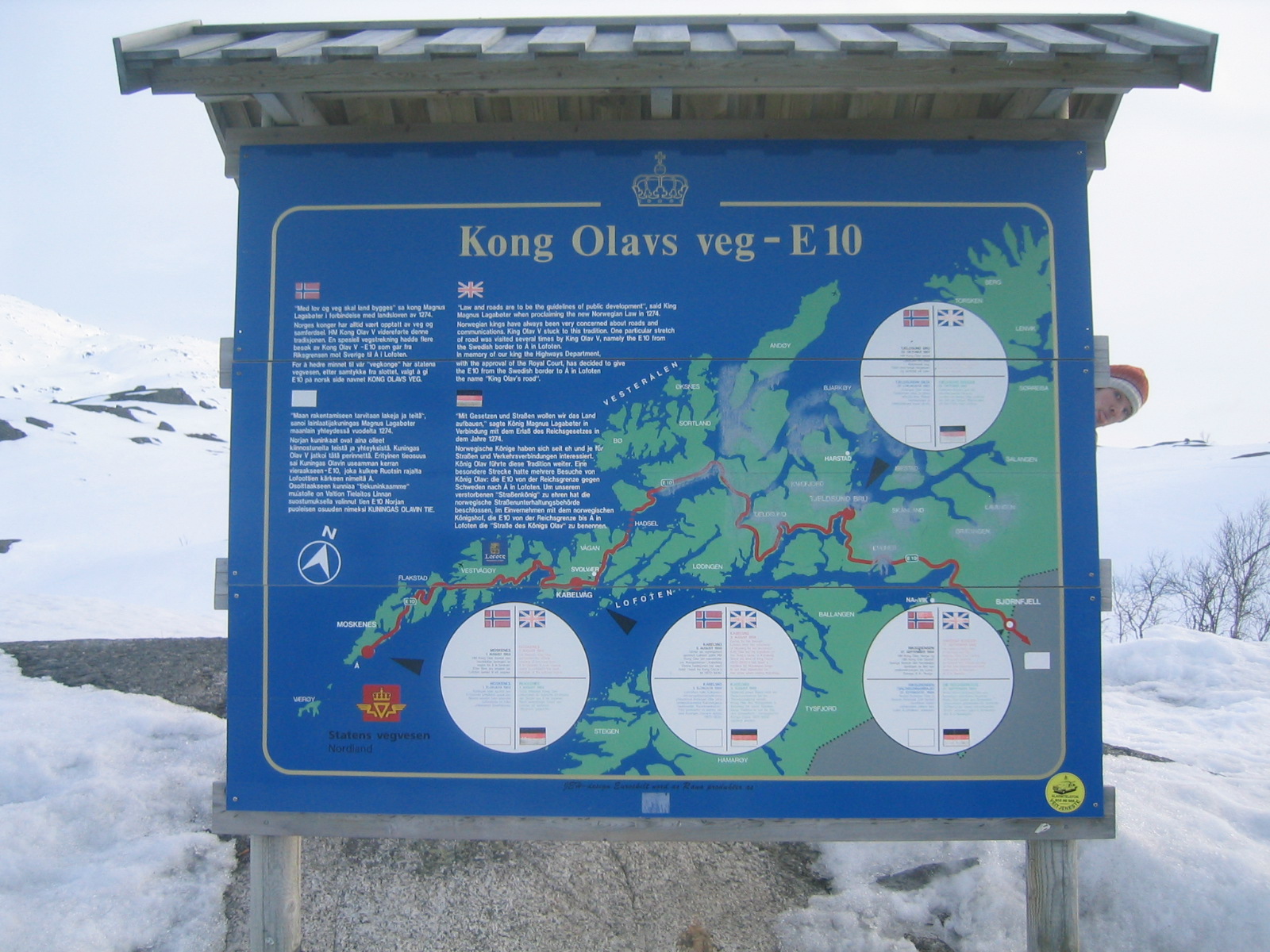
| Kong Olavs veg (and Gaelen). The big red dot with an arrow pointing to it on the top right is the Vesterålen bridge. We drove to the southern point of the loop just past the bridge. |
| More cabins near the Swedish border. |
| Marco finds a patch of deep snow. |