


| Matt prepares for a helium transfer. |
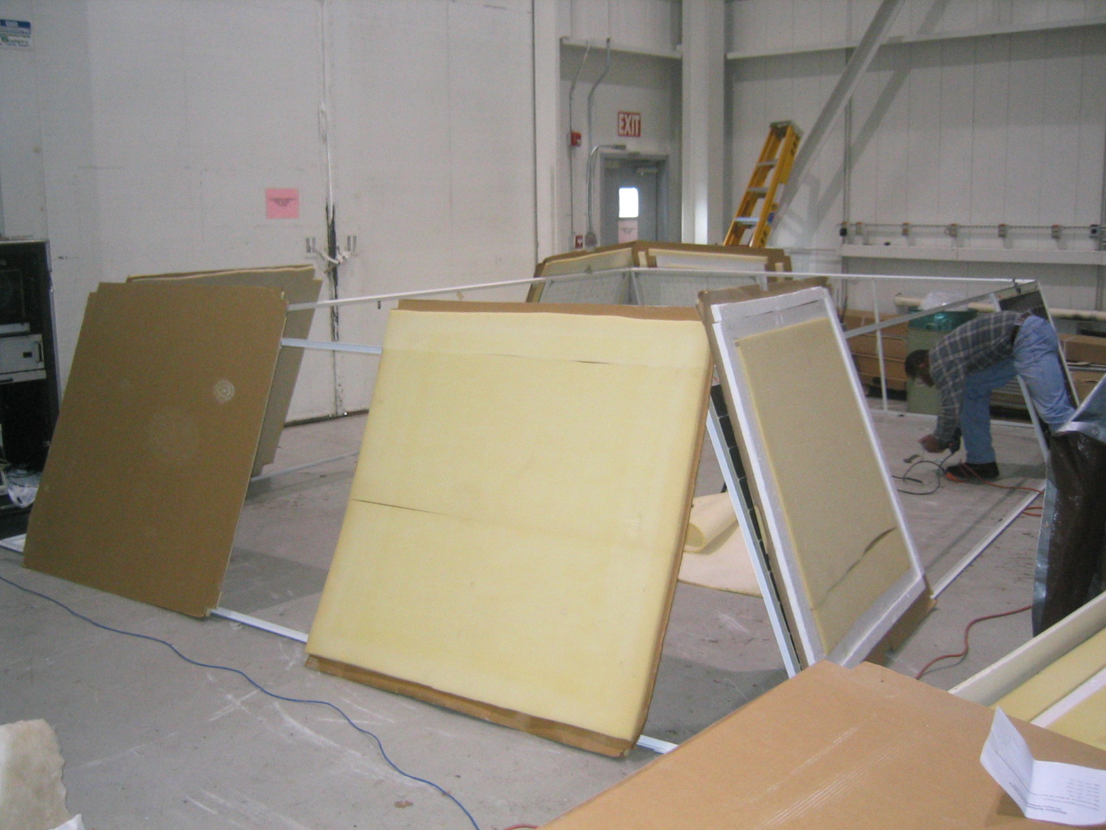
| The NSBF's solar rig being assembled. |
| The charge controller opened up again. |
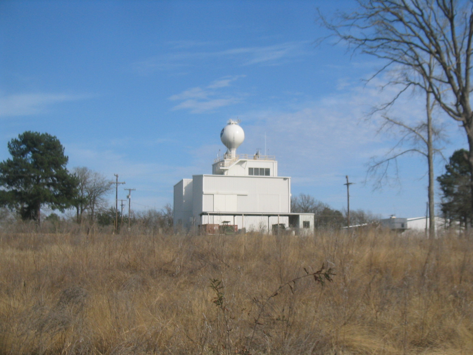
| Looking back at the staging building (where we work) with the water tower behind it. |
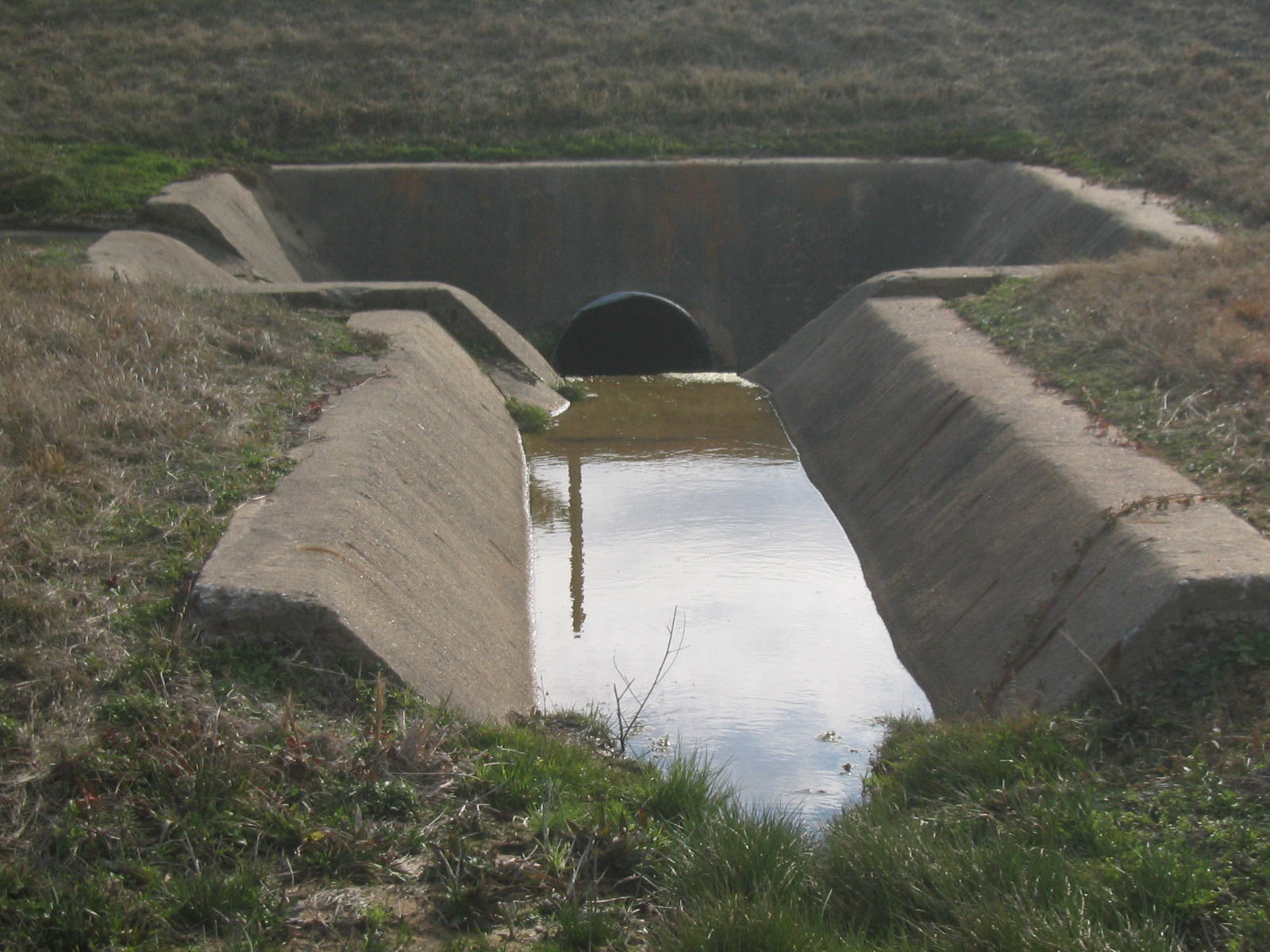
| Drainage culvert at the entrance to the launch pad. |
| Visitor's area. |
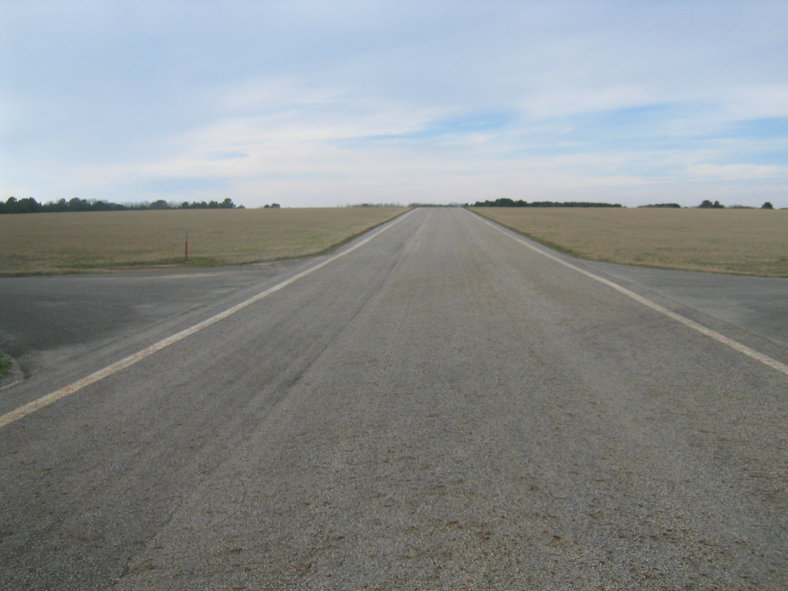
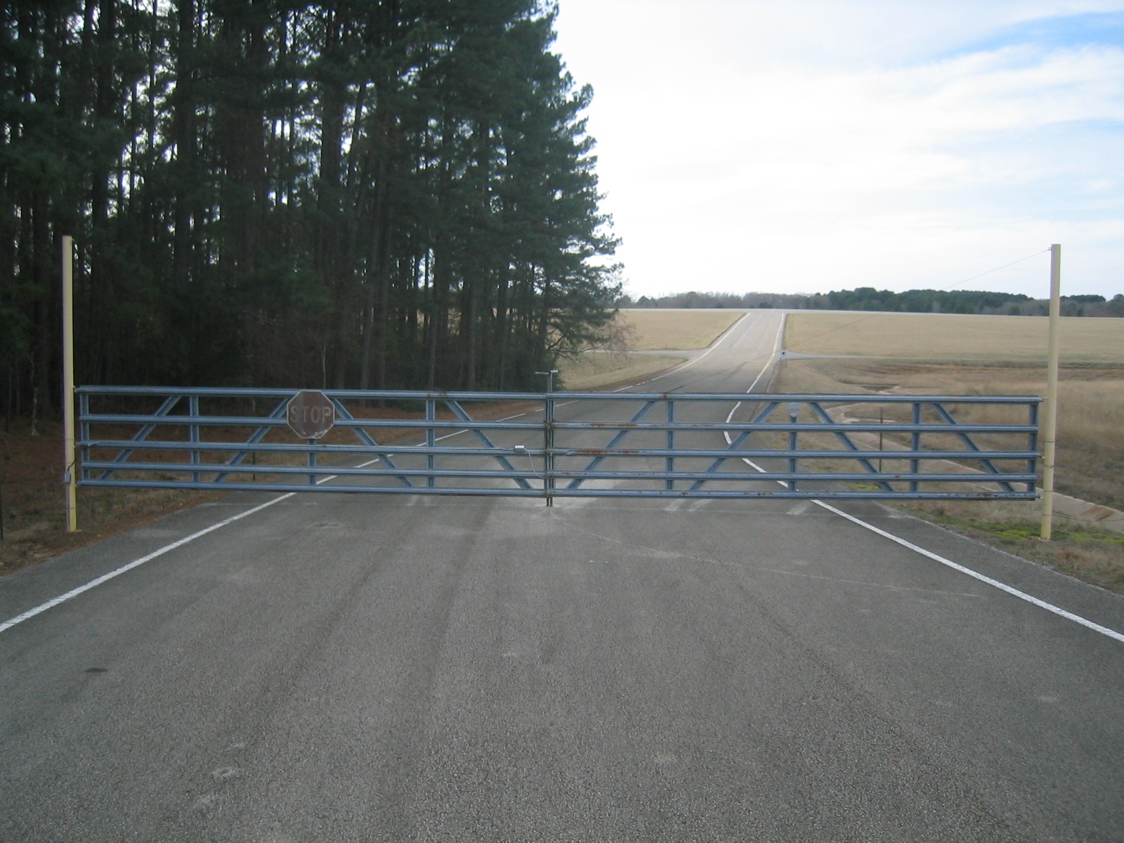
| The road out to the pad. The cross road is the circumferential road which rings the launch site. |
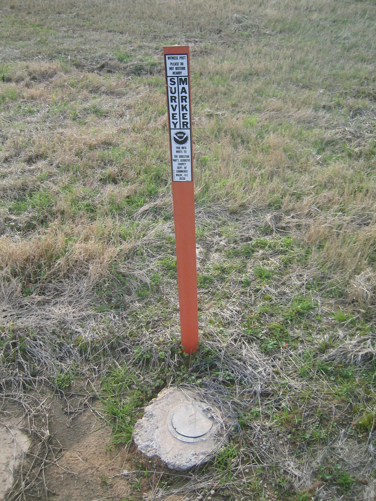
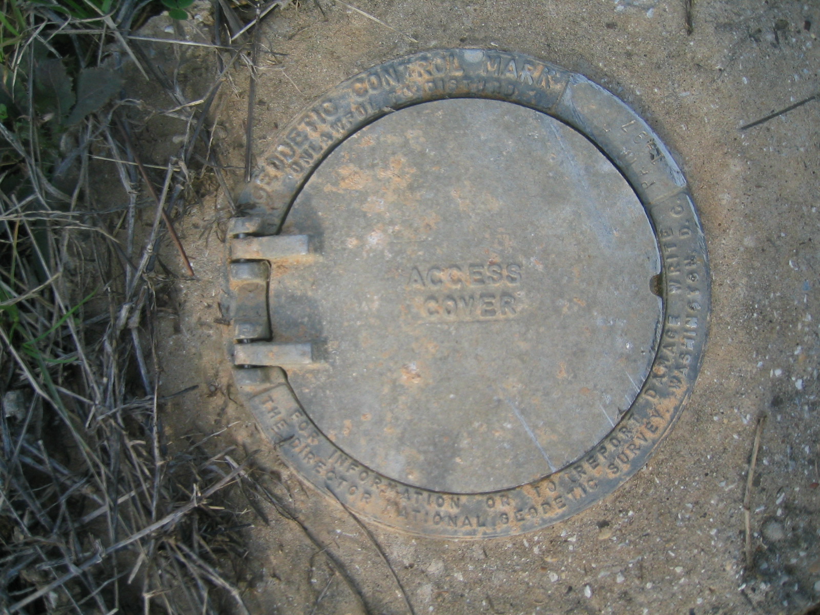
| The geodetic survey marker near the entrance to the launch pad. |
| The geodetic survey marker near the entrance to the launch pad. |
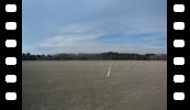
| Panorama of the view from the centre of the launch pad. |
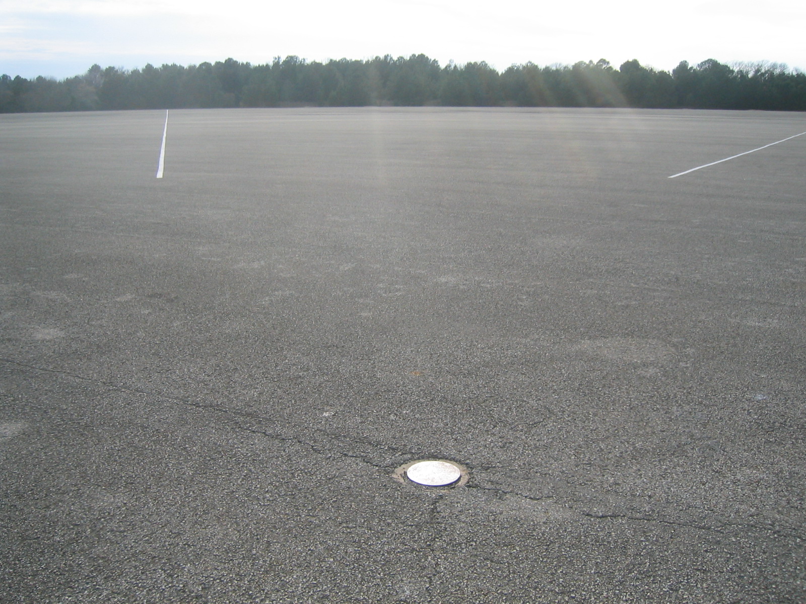
| The centre of launch pad. |
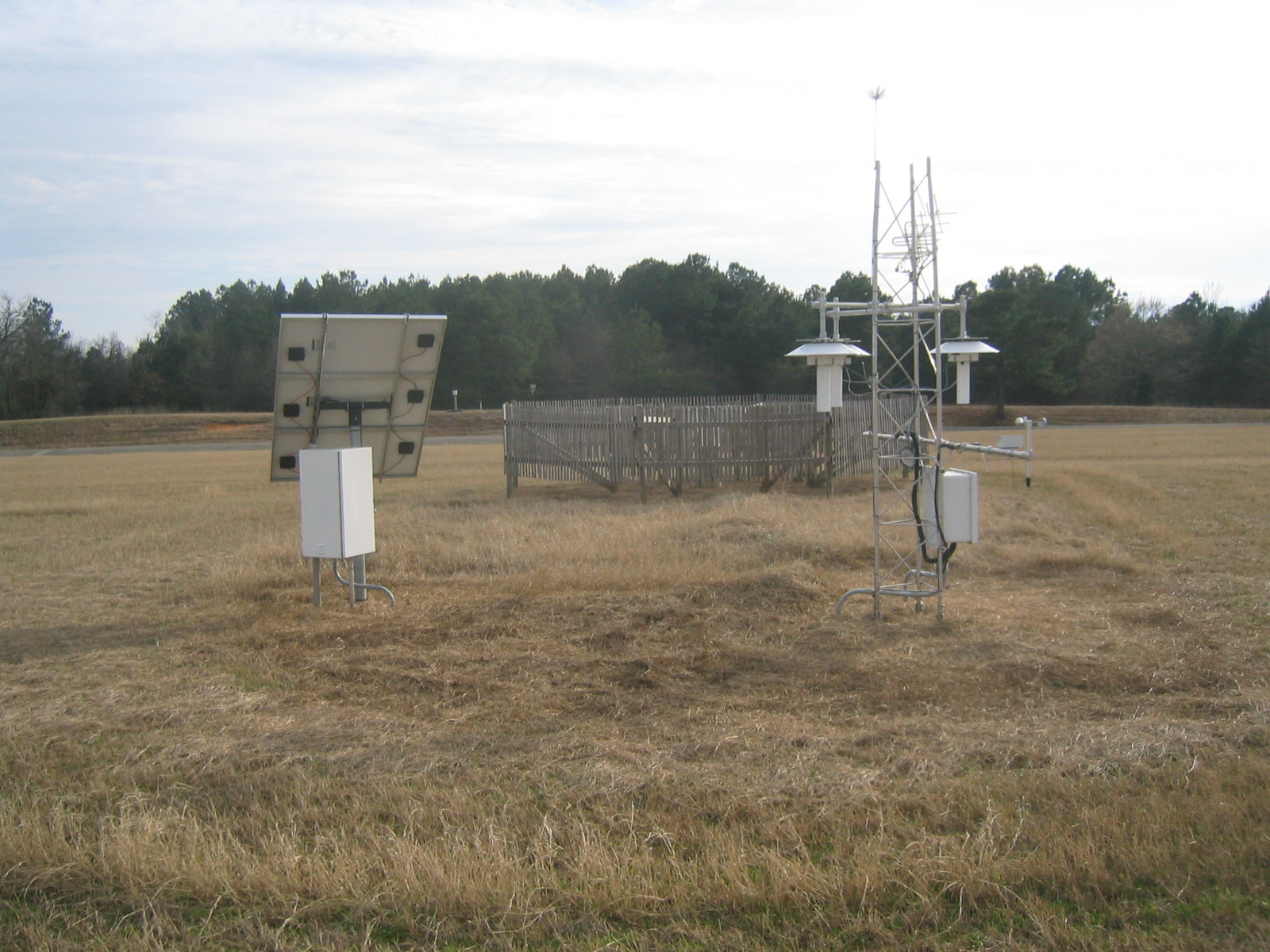
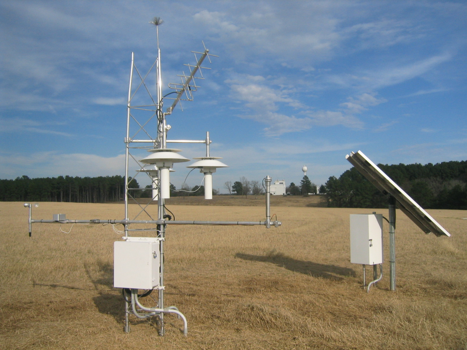
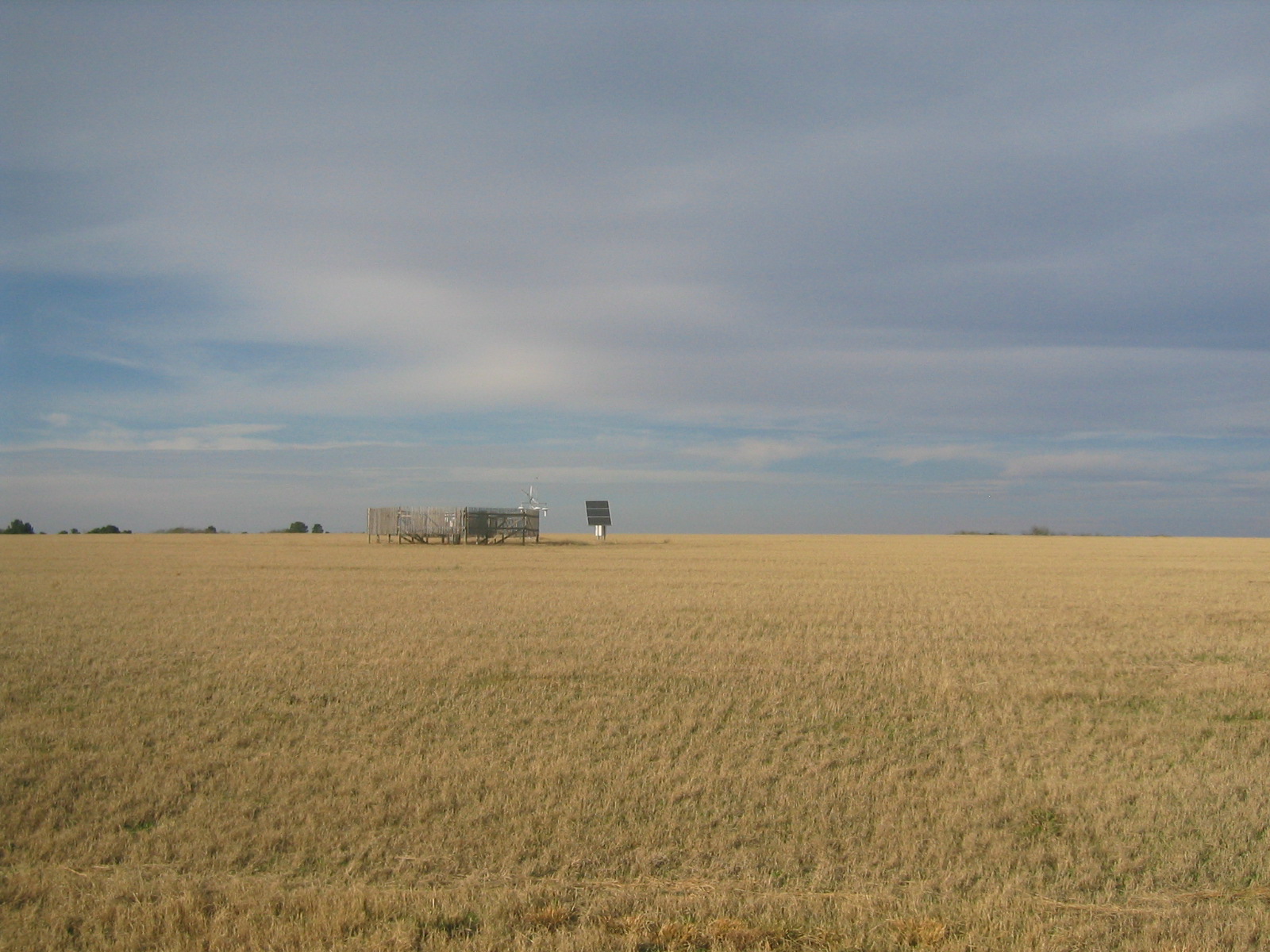
| Weather station on the launch site. |
| Weather station on the launch site. |
| An device of unknown use protected by two concentric, rickety fences. |
| Weather station on the launch site. |
| The gate to the lauch site. |
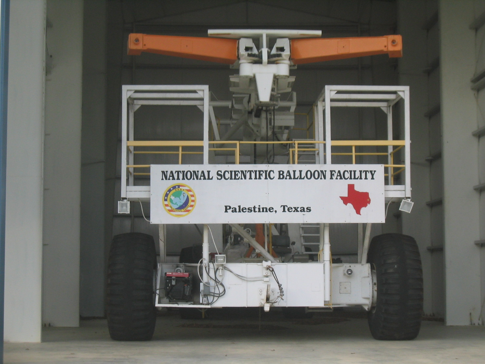
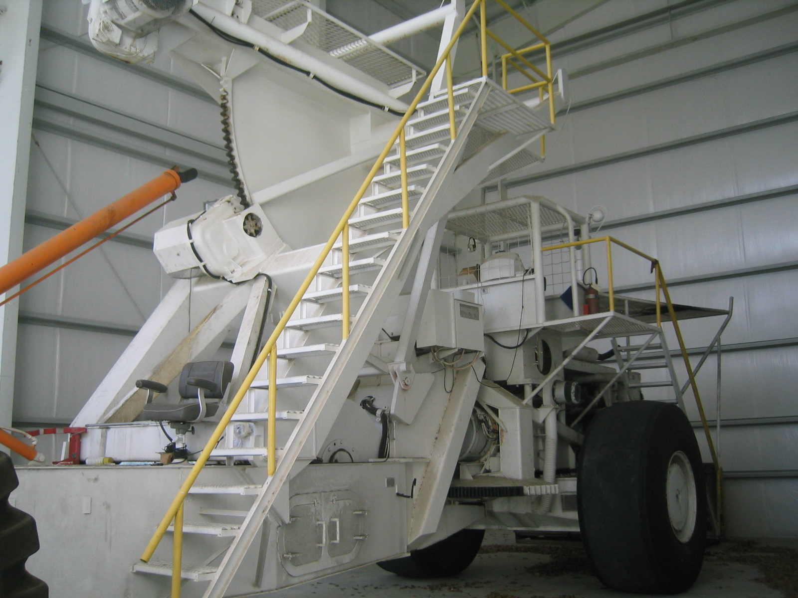
| Fort Sumner had the Mobile Launch Vehicle; Palestine has Tiny Tim. |
| Unlike the MLV, Tiny Tim uses jaws (orange) instead of a pin for lauching gondolas. |
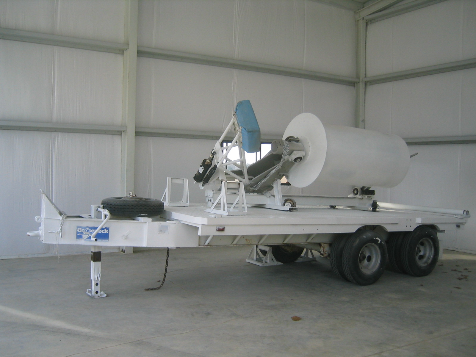
| Spool trailer. |
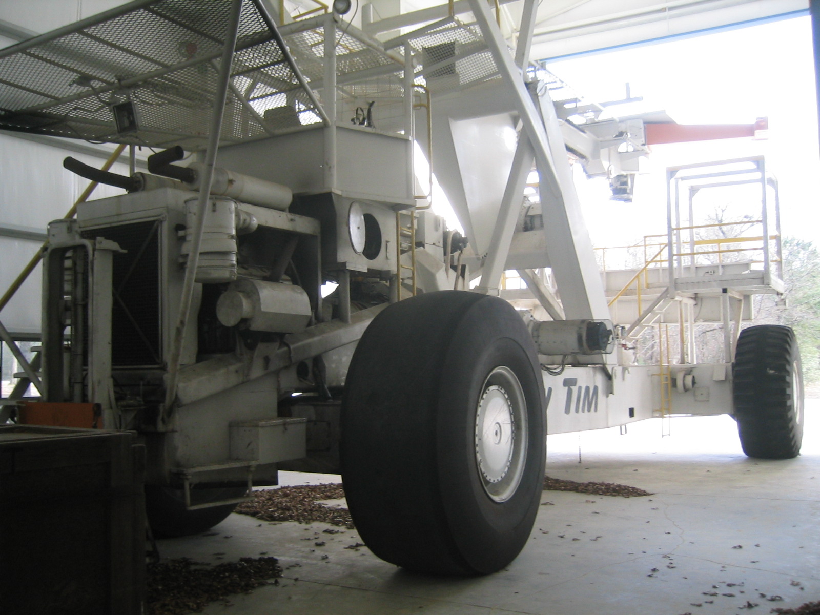
| Tiny Tim from the side. |
| Size reference for Tiny Tim. |
| Tiny Tim from the side. |
| Tiny Tim from the side. |
| The Captain's Chair. |
| Barth and Enzo debug the charge controllers. |
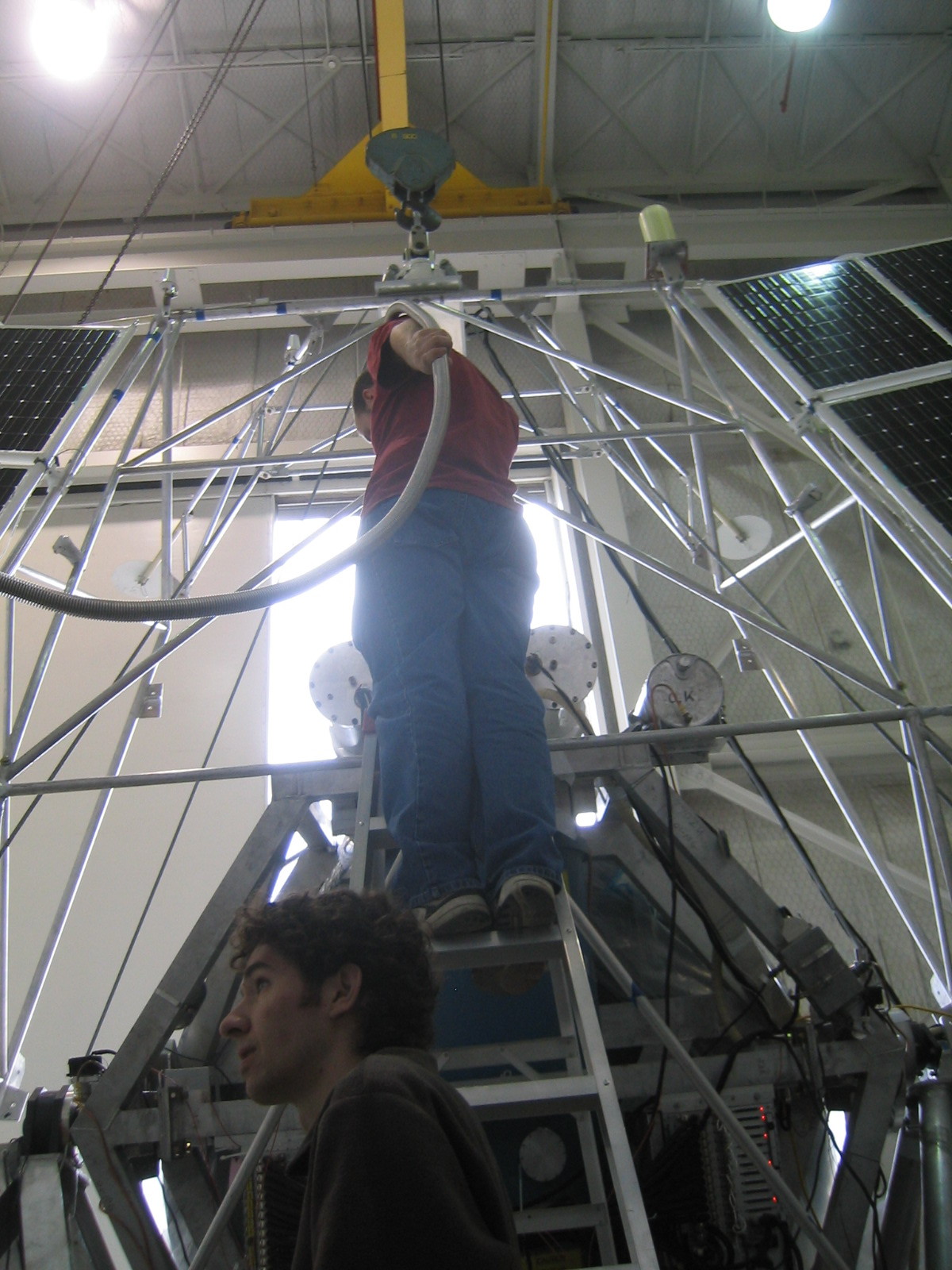
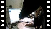
| Gaelen goes up to mount the NSBF GPS antennas. |
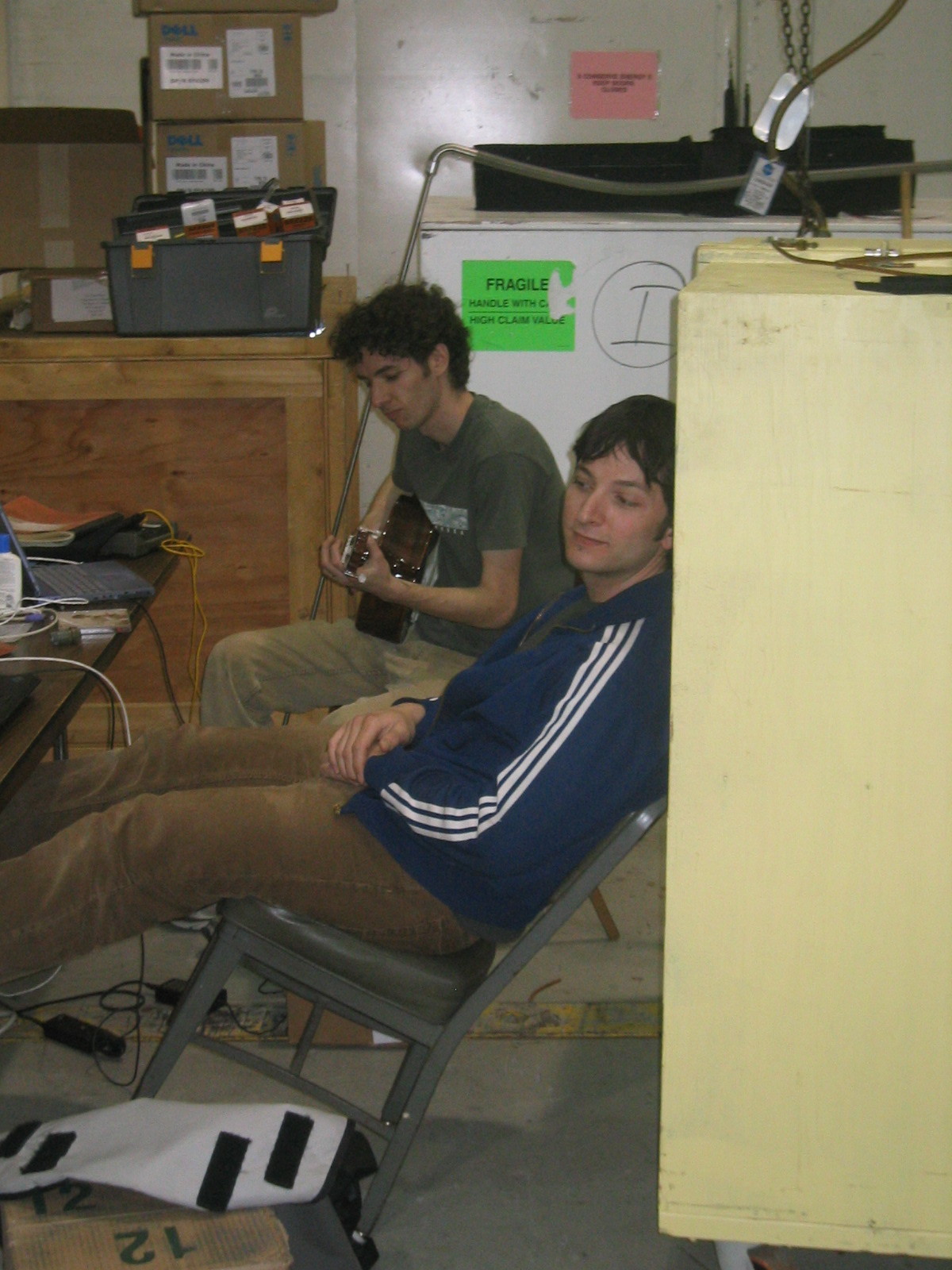
| Gaelen practicing guitar. |
| Ed still needs to work on wardrobe co-ordination. |