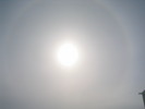
 | An ice crystal halo around the sun. |
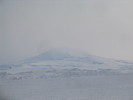 | Mt. Erebus behind thin cloud. |
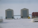 | The payload bays. |
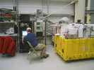 | Chris Field works on the SIP, our telemetry package which is provided by the Columbia Scientific Balloon Facility (CSBF). |
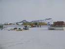 | Picking up the mirror crate. |
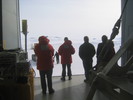 | Waiting for the mirror to get here. |
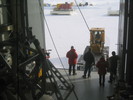 | Bringing the mirror inside. |
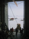 | Bringing the mirror inside. |
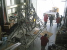 | Bringing the mirror inside. |
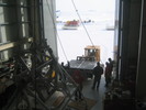 | Bringing the mirror inside. |
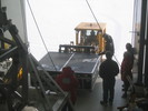 | Bringing the mirror inside. |
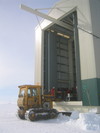 | Bringing the mirror inside. |
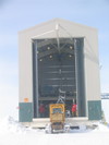 | Bringing the mirror inside. When the big doors are open like this, it gets cold inside very fast. |
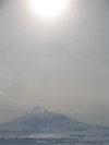 | Erebus emerges from the cloud. |
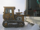 | The slowest forklift in Antarctica. |
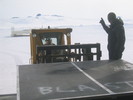 | Carefully removing the forks from underneath the primary mirror. |
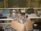 | Both star cameras up and running on the bench. |
 | Another shot of Erebus, note the prominent plume. |
 | The closest thing to vegetation on the continent: a forest of flags. |
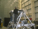 | Putting the mirror insulation onto the inner frame. |
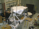 | Putting the mirror insulation onto the inner frame. |
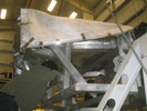 | Chris and Mark discuss strategy. |
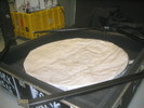 | The primary mirror in its protective cocoon. |
 | Three minutes in the highbay. |
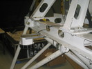 | Enzo's sun sensor mount. |
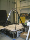 | The primary and secondary mirror assembled. |
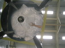 | Looking up at the secondary mirror. In the reflection you can see the primary mirror's cocoon. |
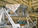 | Batteries mounted on the gondola. |
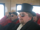 | Me and Enzo on the bus. |
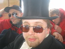 | Me looking dapper. |
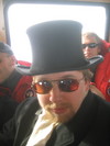 | Me looking dapper. |
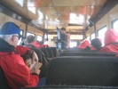 | Picking up hitch-hikers on the road back to base. Likely they've just returned from a trek to Castle Rock or the Kiwi Ski Hill. |
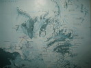 | A map of the environs. South is generally towards the top. Willy Field is east (left) of Scott Base. |
|
 |
| (6287x1348, 4255.21 kb) A view from McMurdo across the ice runway to the south. On the left is the foot
of Ob Hill. Black Island is partially obscured by clouds, almost due South; to
the right of it, Mt. Discovery pushes above the clouds. Continuing rightward,
is Brown Peninsula, and then the Royal Society Range. Peaks further right are
part of the Asgard Range, where the dry valleys are. Out on the ice runway,
five LC-130 "Hercules" are sitting.
Buildings in the foreground include, from left:
- the Gym (hut 75), the semicircular building
- the Helicopter Hangar (hut 129), the green building behind the gym,
- the Dive Shack (hut 144), the small white building near centre,
- Administration & GSE Shop (hut 159), white building mostly obscured behind the dive shack
- Cold Storage (hut 157), the prominent green building at centre
- Supply (hut 156), the next green building to the right of Cold Storage
- the Water Plant (hut 198), the yellow building party obscured
- Chapel of the Snows (hut 7), the building with a steeple at right
|
|
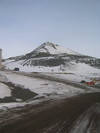 | Ob Hill. Note the cross at the top. |
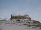 | The chalet. |
|
 |
| (6452x1073, 3296.08 kb) Another shot looking over the the ice shelf from McMurdo. At left is the foot
of Ob Hill. At right is Hut Point.
|
|
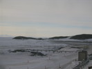 | Hut Point. The prominent building is Discovery Hut, built by Scot in 1902. |
|
 |
| (3864x1260, 2770.70 kb) Winter Quarters Bay, at the west end of the base. In the winter of 1901/02
Robert Scott's ship Discovery was iced in here, hence the name. During
this time they built Discovery Hut (now usually called Scott's Hut) on Hut
Point. Winter Quarters Bay is the main deep water port for Ross Island and,
when it warms up, they'll have an ice pier here. In former times Winter
Quarters Bay was considered one of the most polluted places on Earth, but
significant clean up has happened since then.
|
|
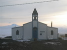 | Chapel of the Snows. Mormon, Catholic and Protestant services are offered. |
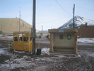 | Derelict Junction, the main bus stop in town. |
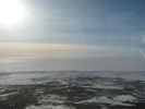 | Looking over the ice shelf. The Highbay and Willy field are on the left. To the right is AnDRILL, the Antarctic Geological Drilling Experiment. |
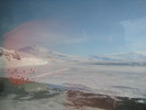 | Looking over at Mt. Erebus (left) and Mt. Terror (right). Down below is the start of the ice road. There are several lanes, only one is open, which permits resurfacing of the other lanes, without blocking traffic. |
 | The same. |
 | Pressure ridges. |


