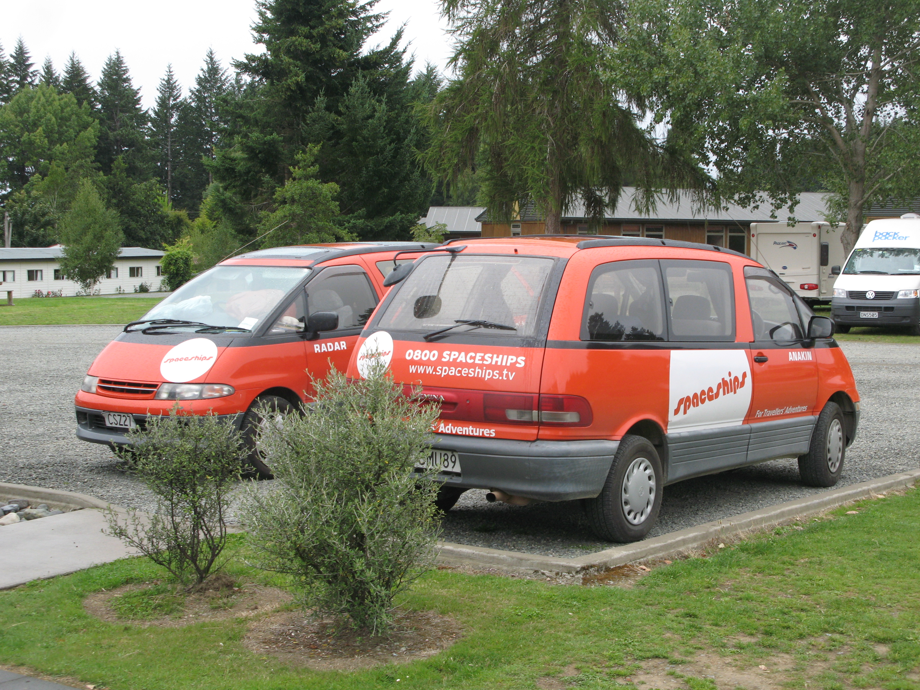
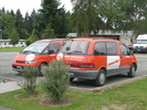
 | There are a number of camper/van/car rental agencies in this country with easily-recognised, garishly coloured fleets. Spaceships is on the less-hideous end of the spectrum. They do appear to name their vehicles after characters from films. Here we have Radar and Anakin. (My own car, although a ridiculous shade of blue, is otherwise unremarkable.) |
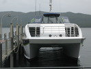
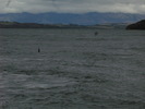
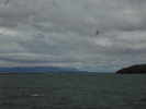
 | Inbound cataraman. |
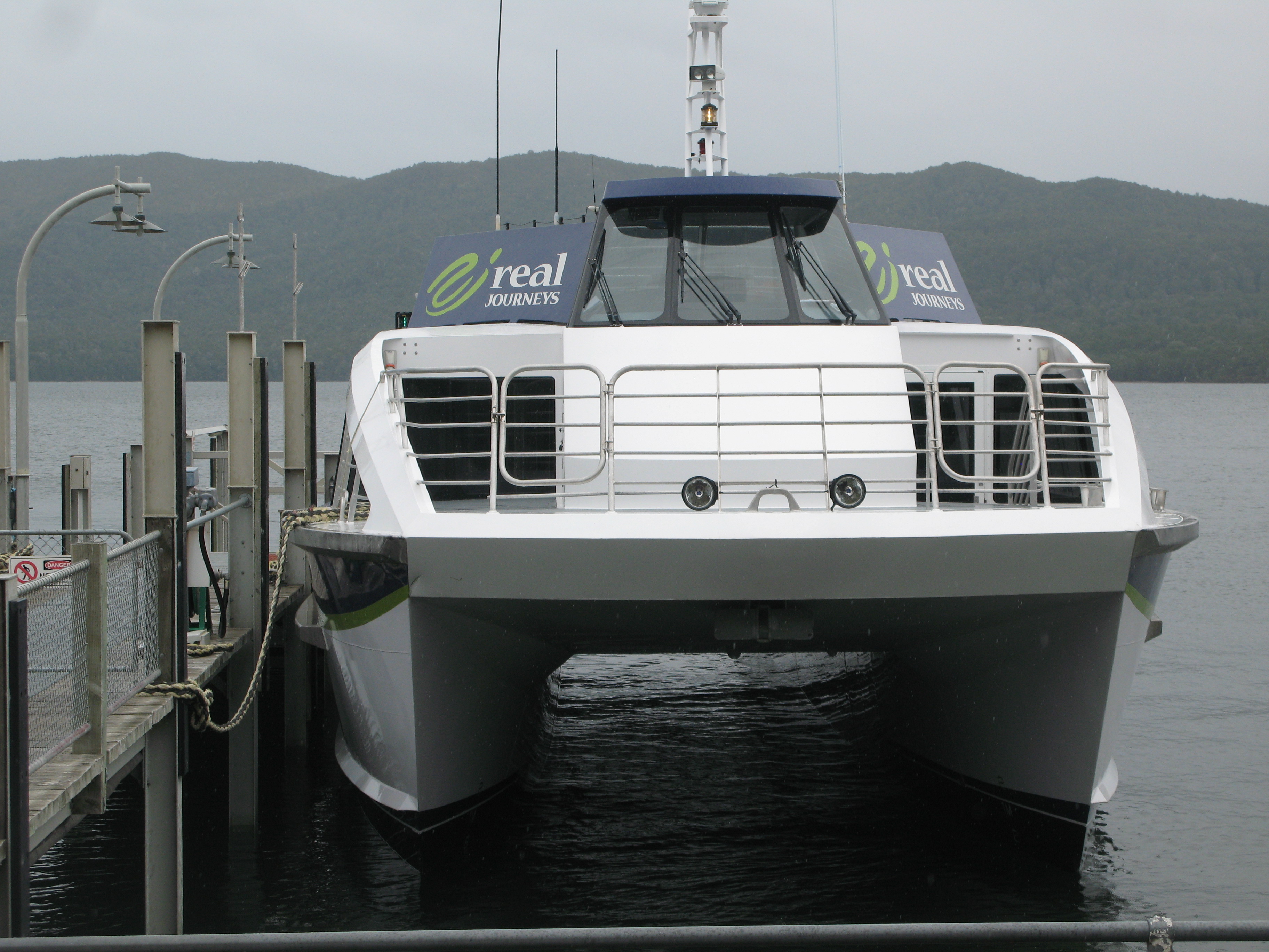
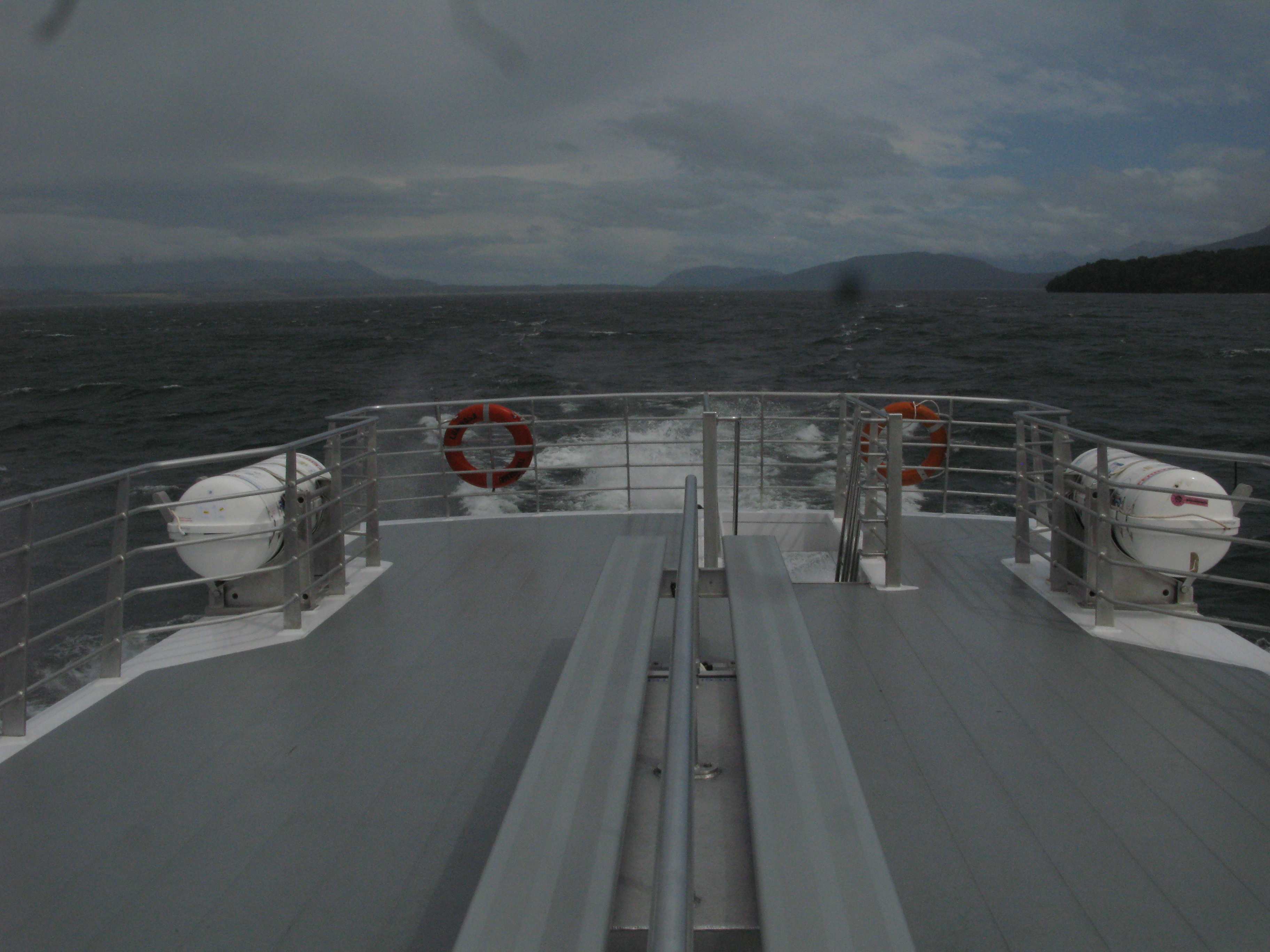
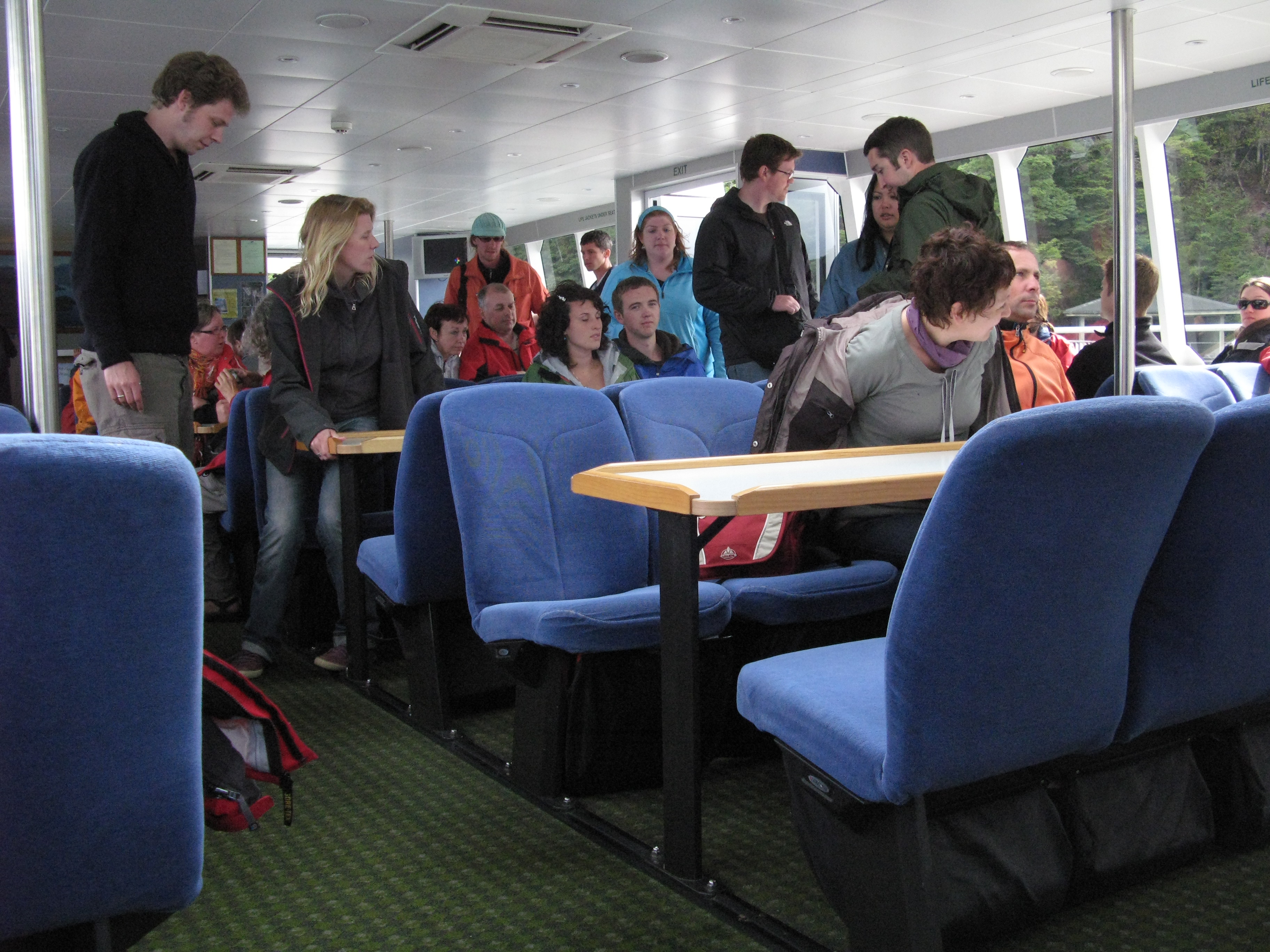
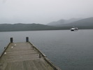
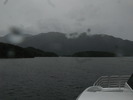
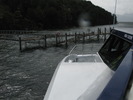
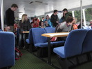
 | Our boat for the lake crossing. |
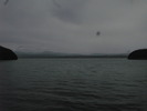
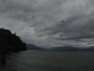
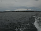 | Leaving Te Anau. |
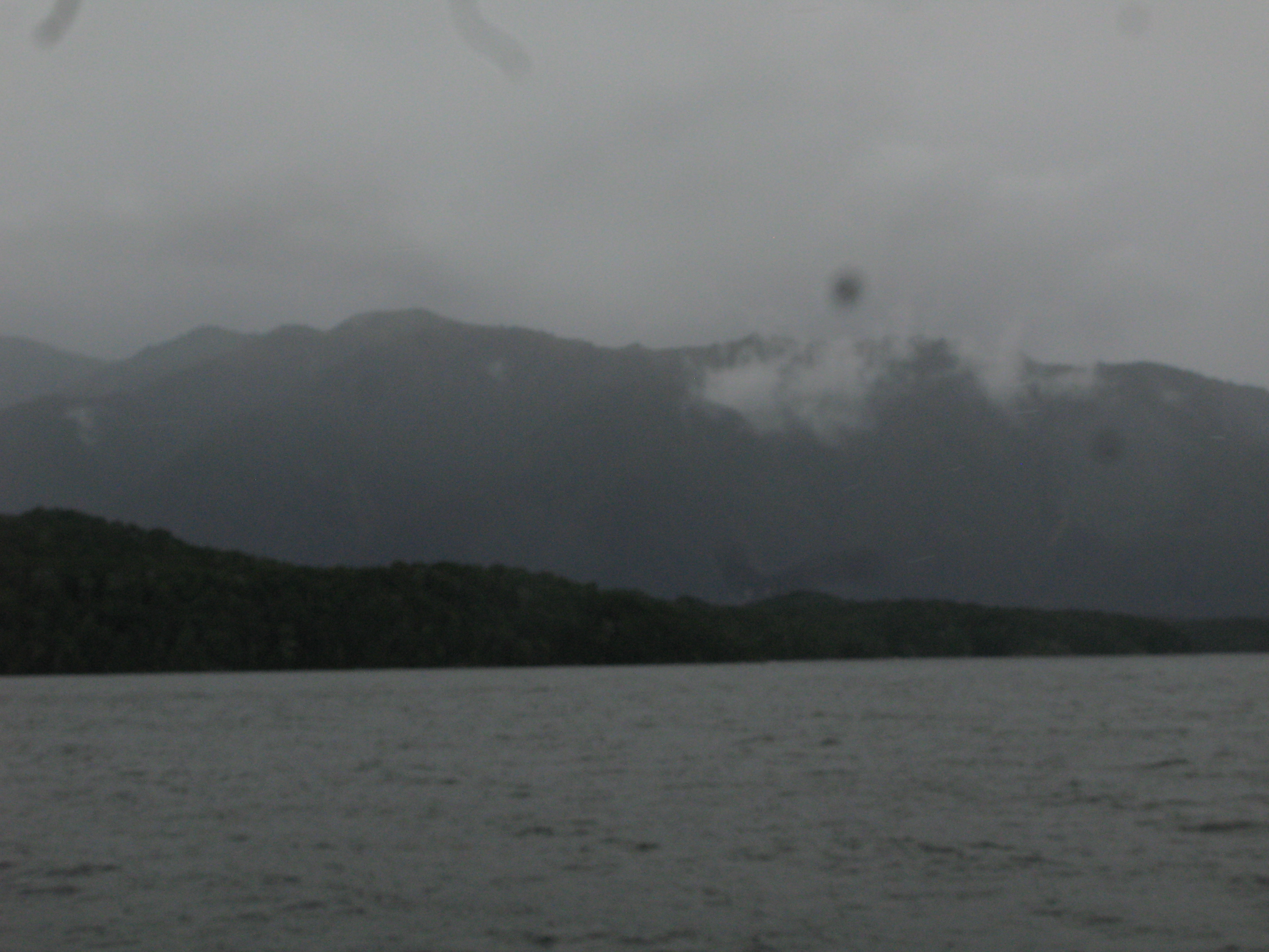
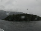
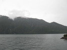
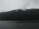
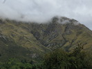
 | Fiordland hills on the west bank of the lake. |
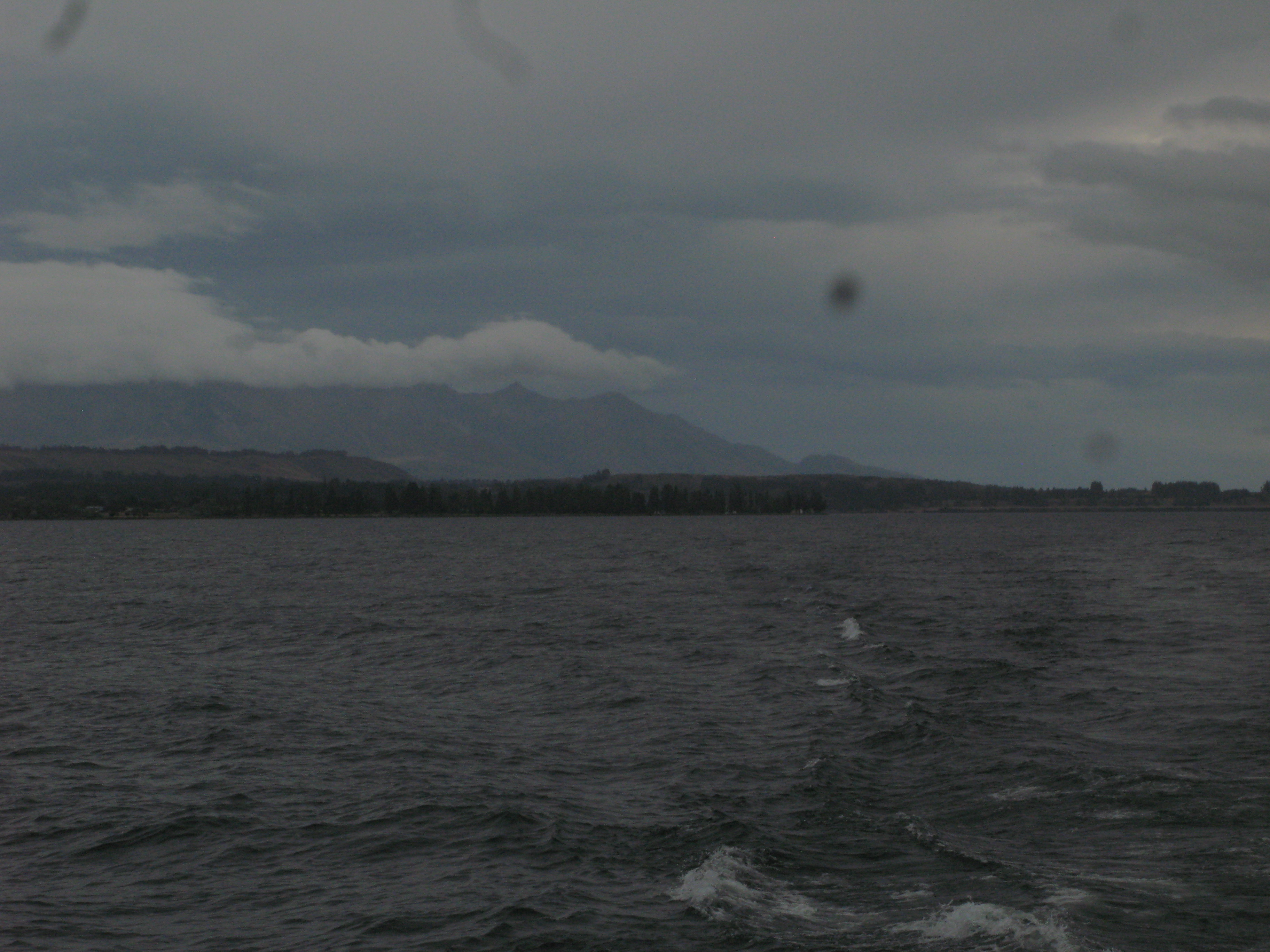
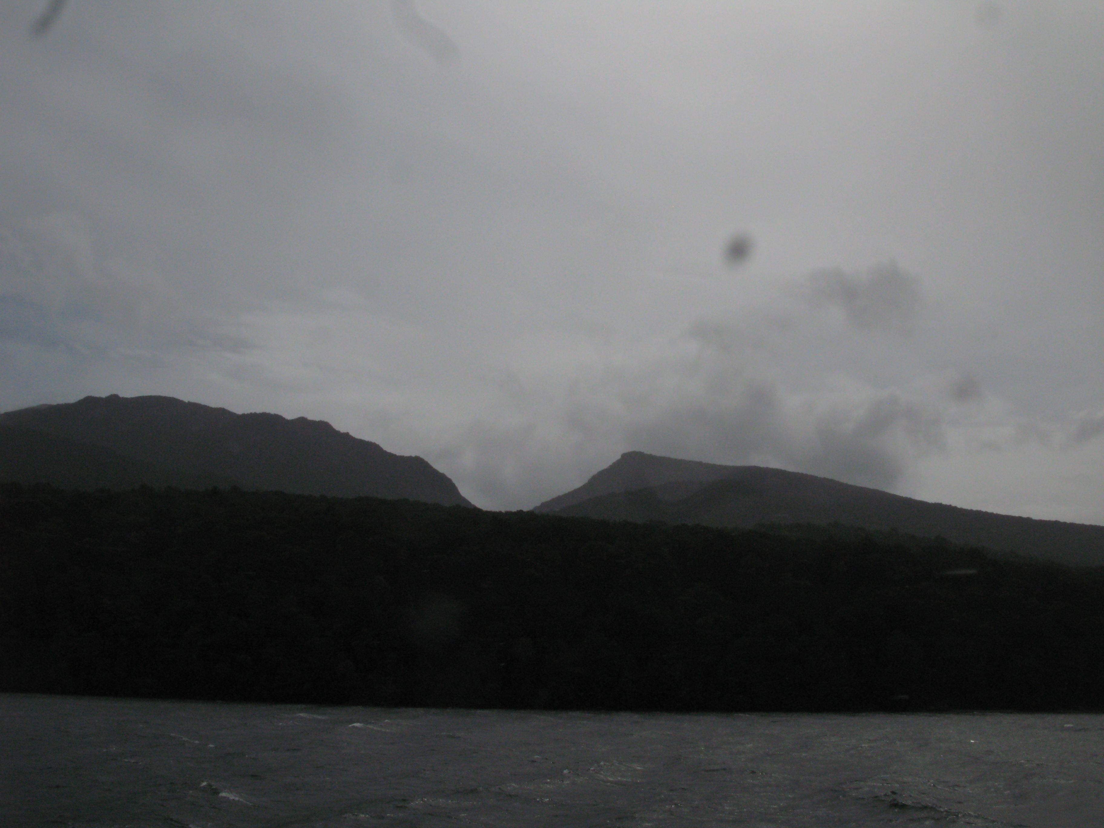
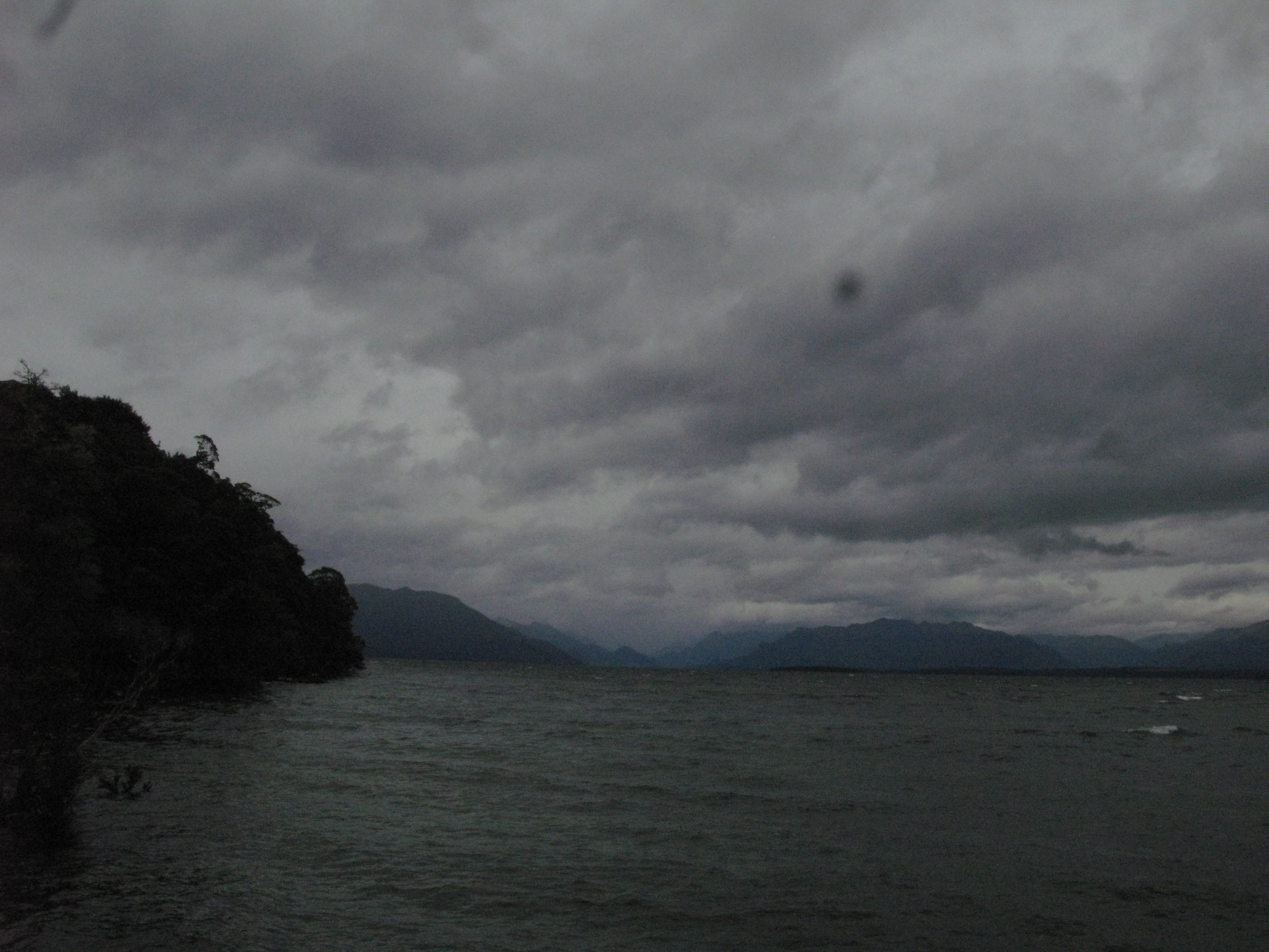
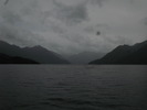
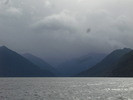
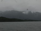 | Rain in the fiordlands. |
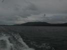
 | Sheep stations on the east bank. |
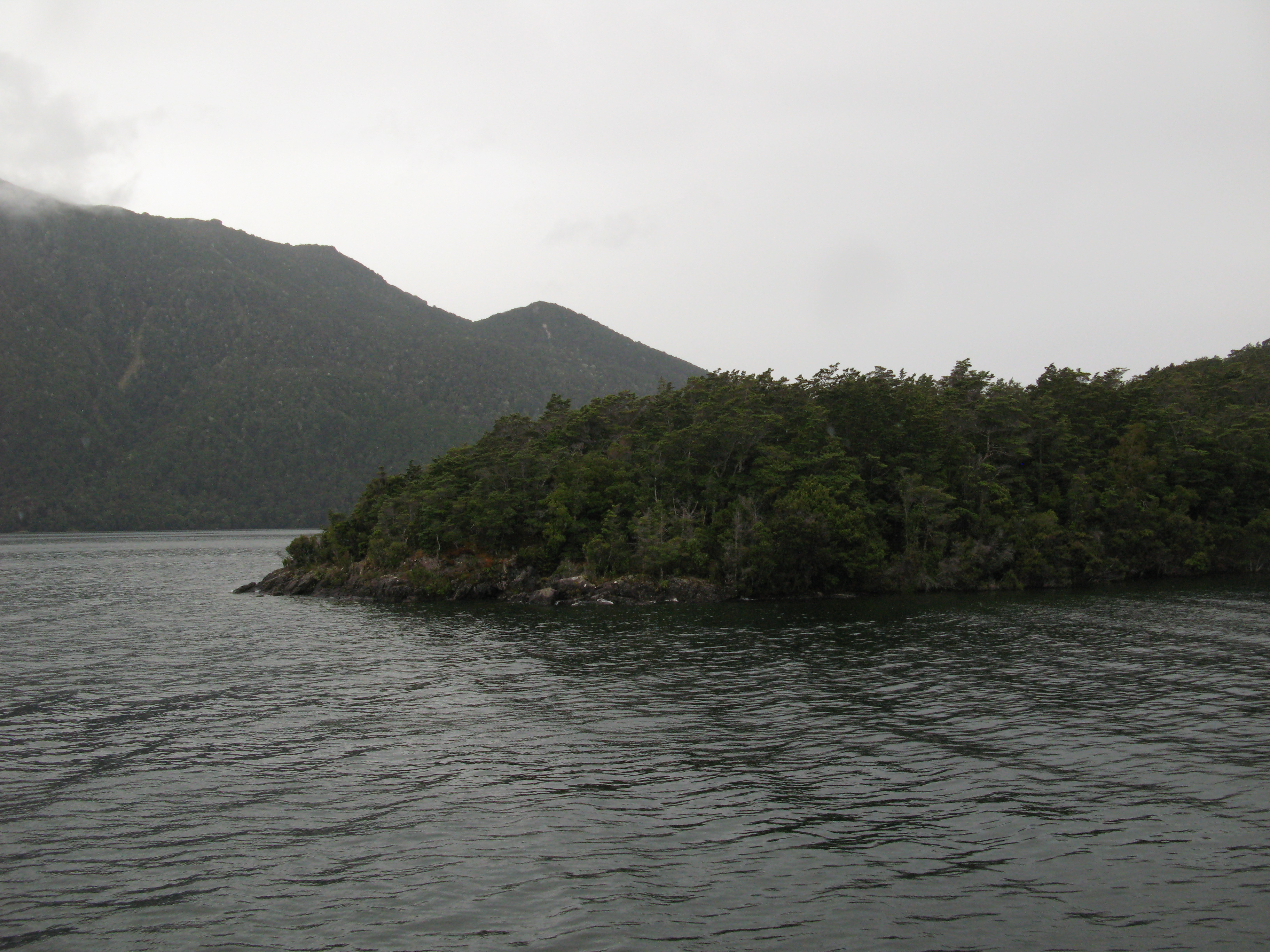
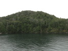
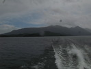
 | Coming up on the Dome Islands. |
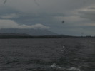
 | Looking back east with the Livinstone Mountains in the background. |
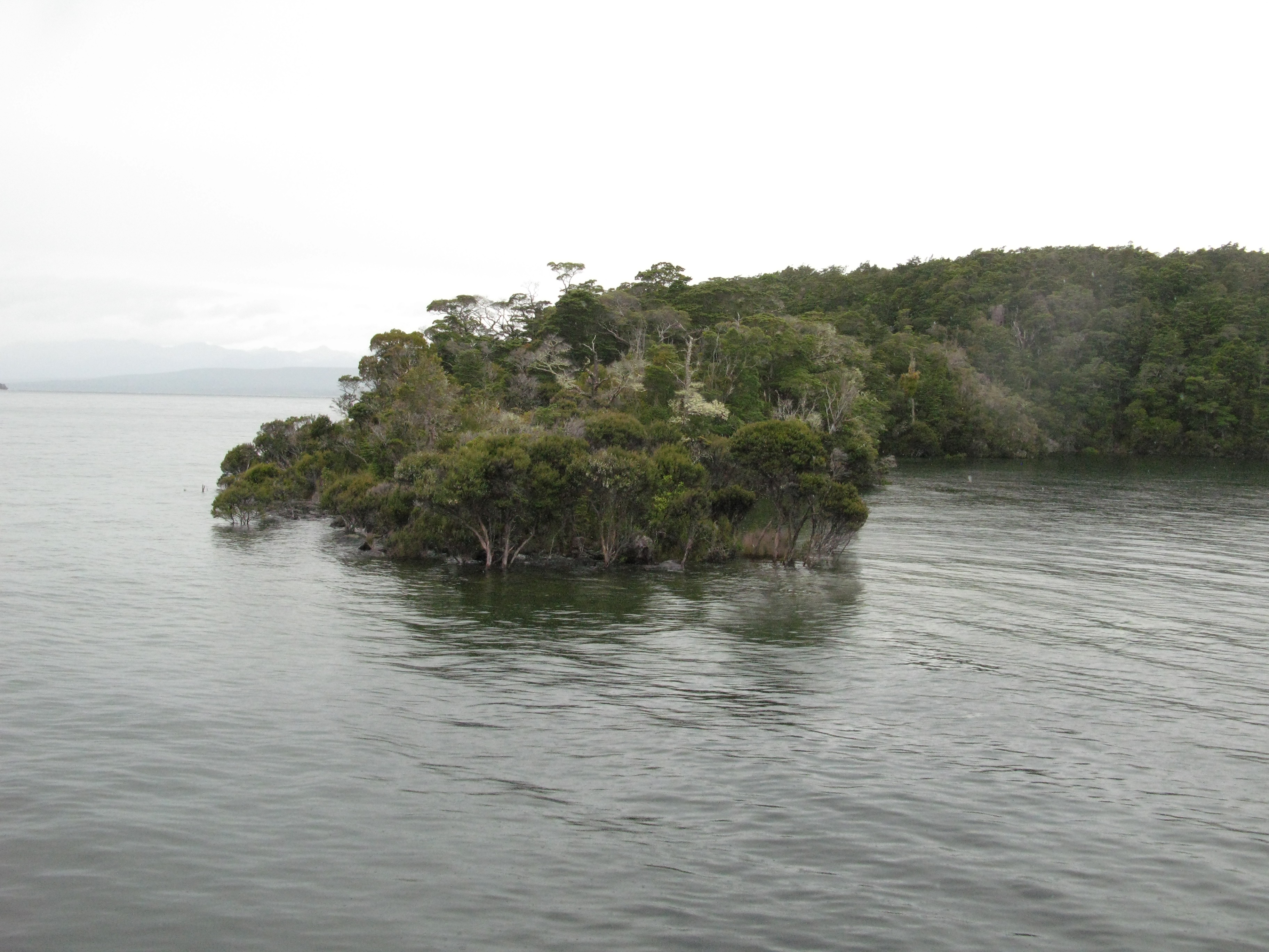
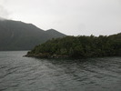
 | Dome Islands. |
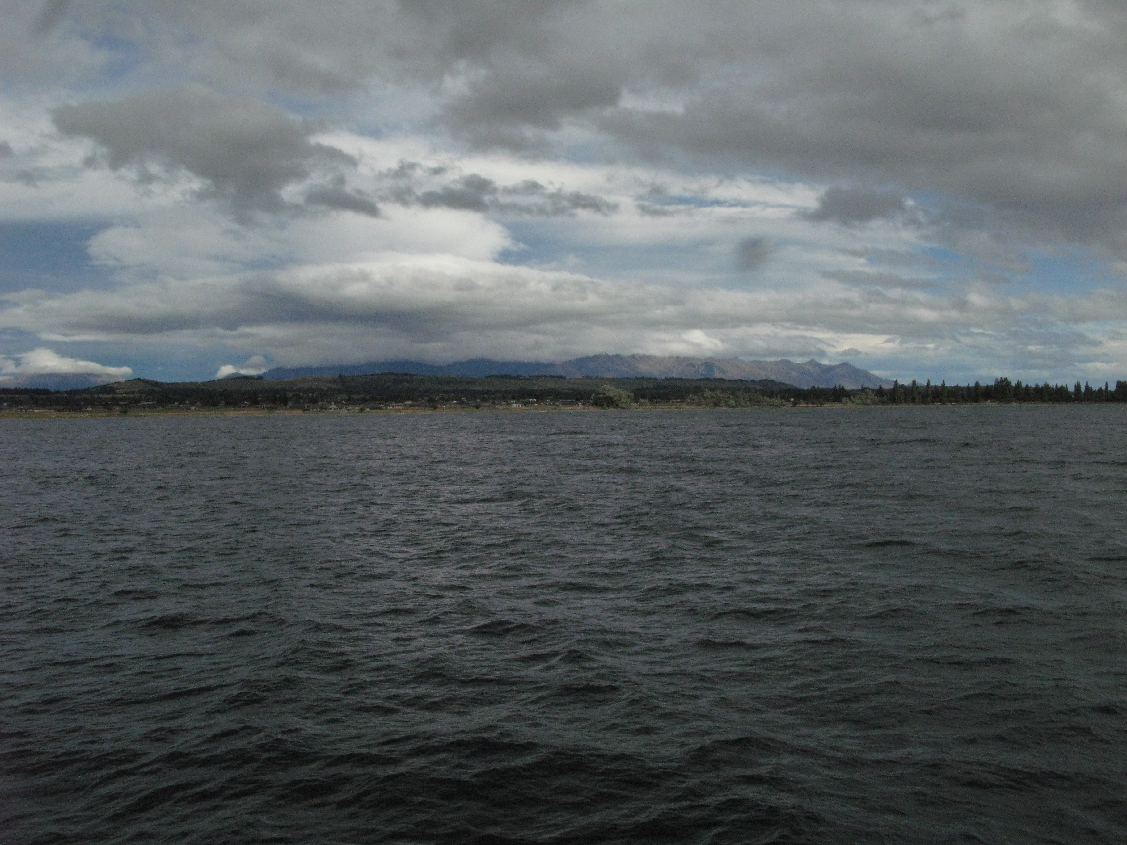
 | Looking southeast from the Dome Islands at the townsite. |
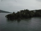
 | Dome Islands. |
 | Dome Islands. |
 | Dome Islands. |
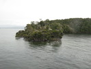 | Dome Islands. |
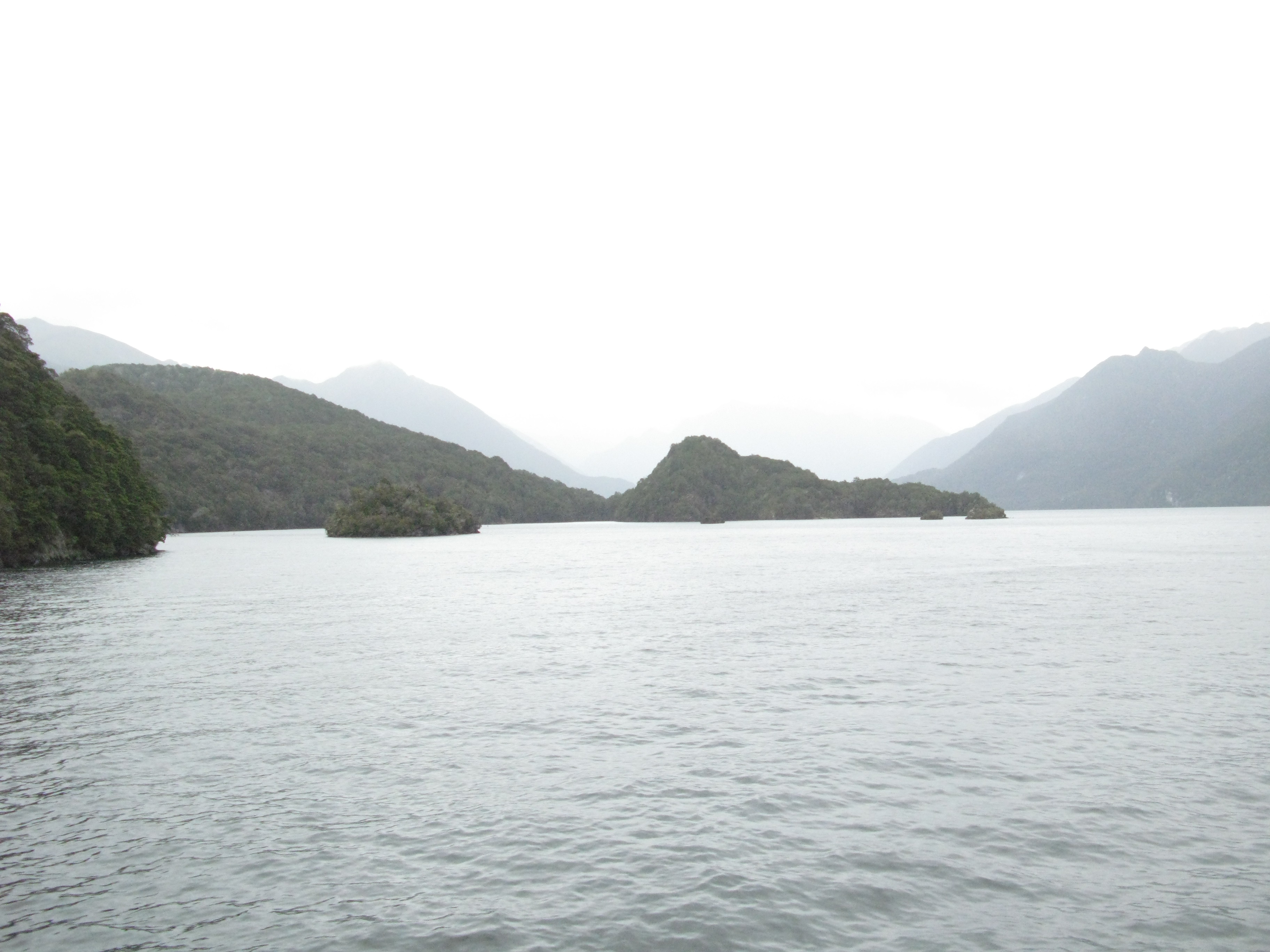
 | Towards the South Fiord. |
 | Towards the South Fiord. |
 | Dome Islands with the townsite in the distance across the lake. |
 | Dome Islands. |
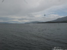
 | East bank. |
 | The last of the Dome Islands. |
 | The Bluffs. |
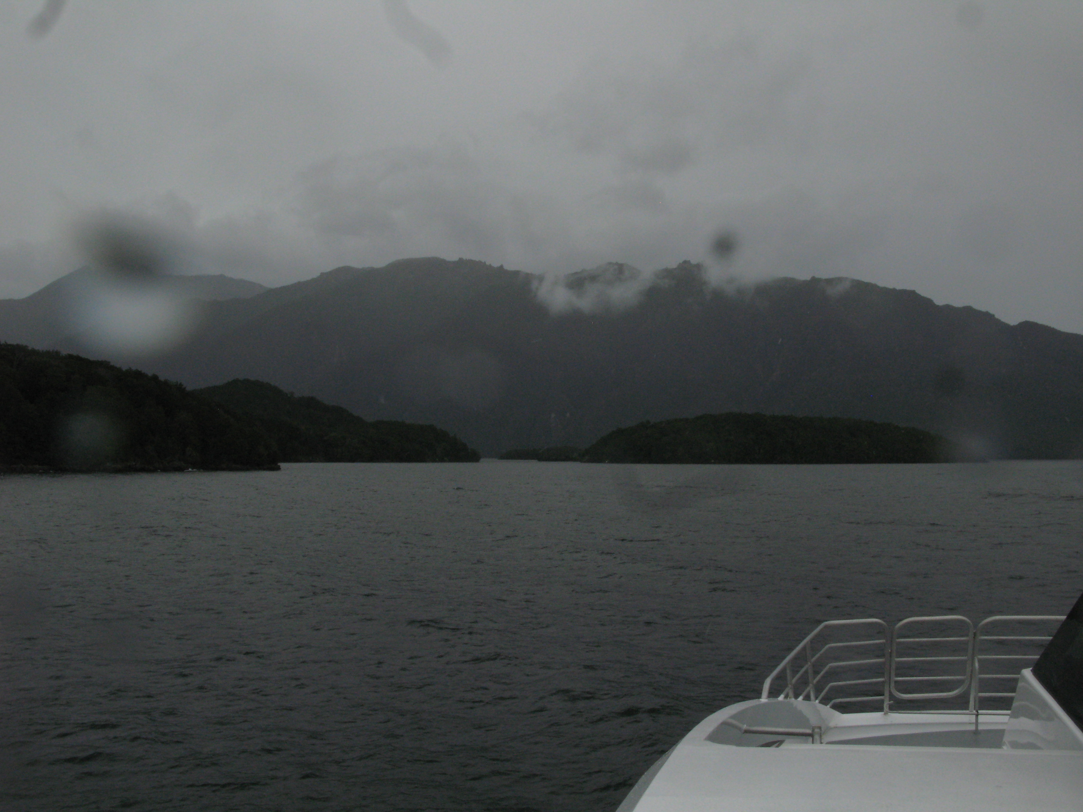
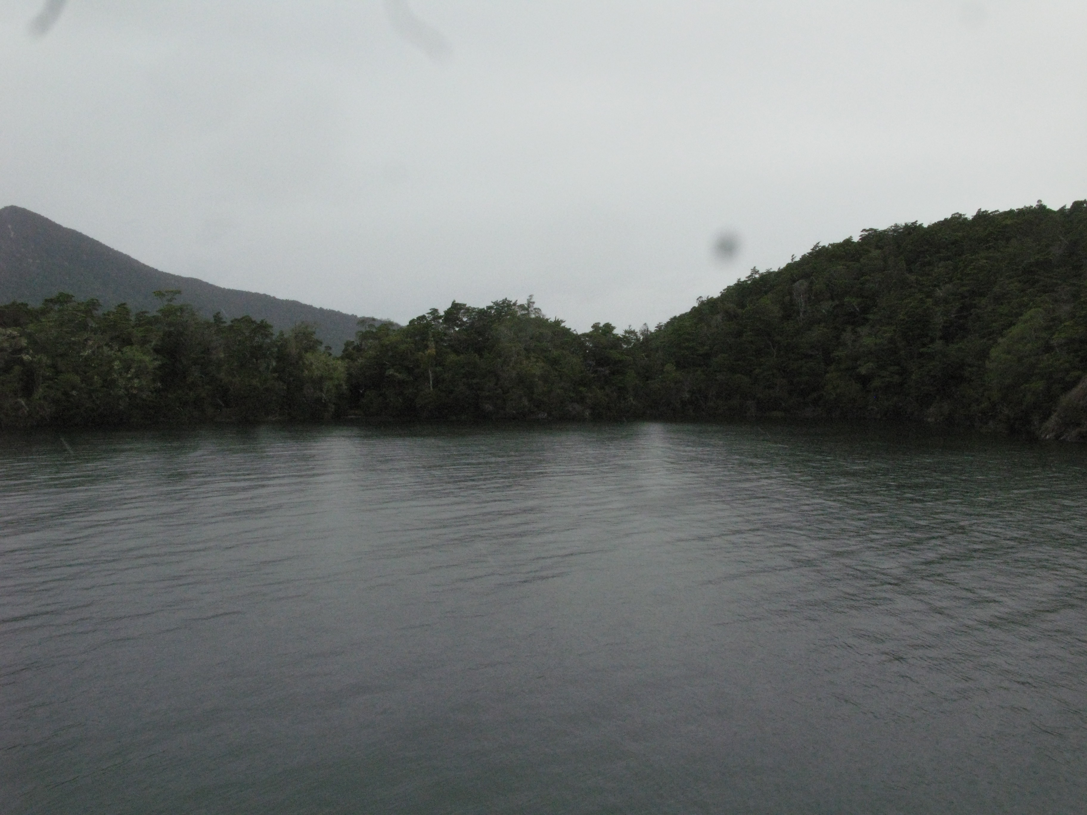
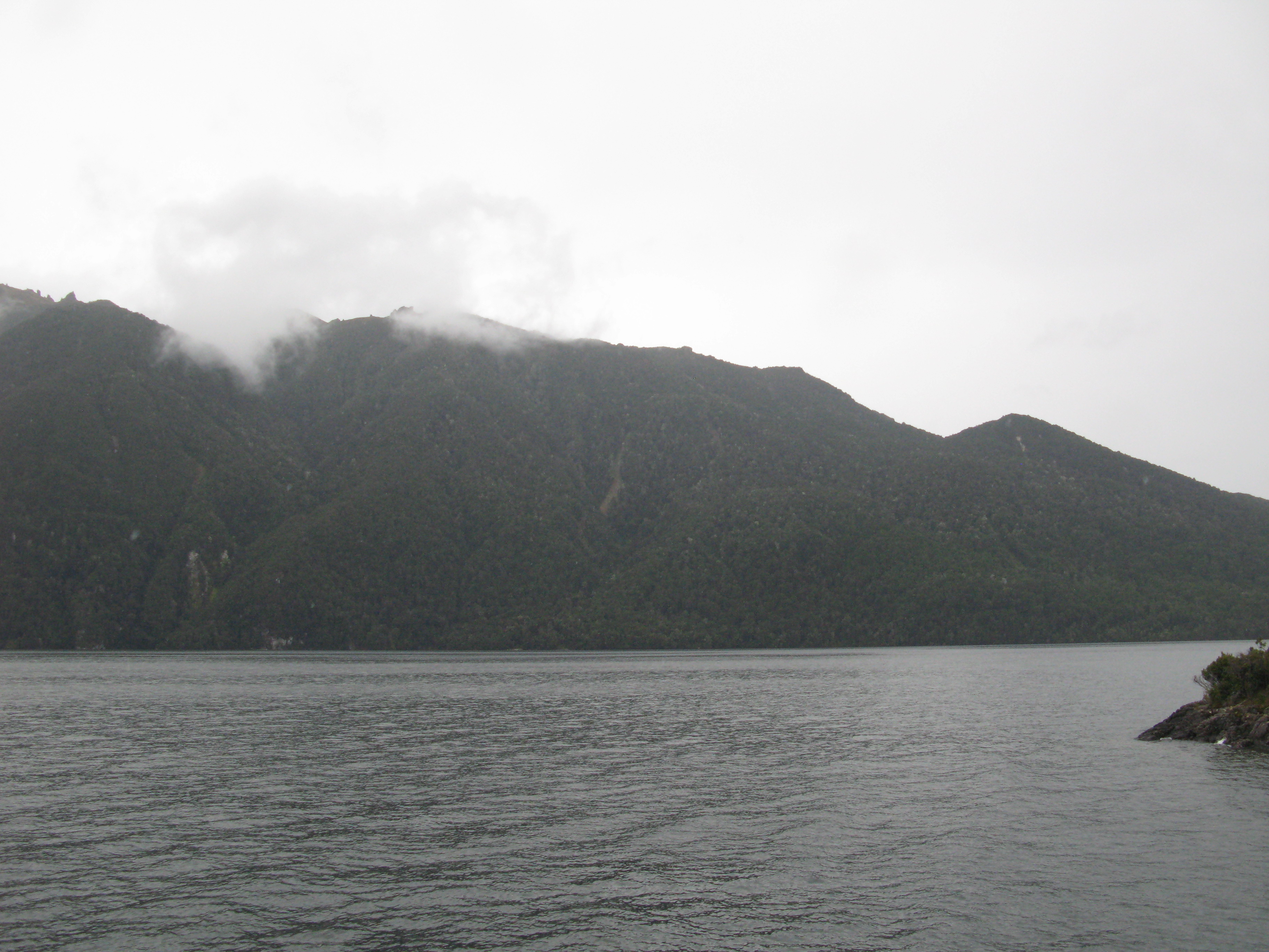
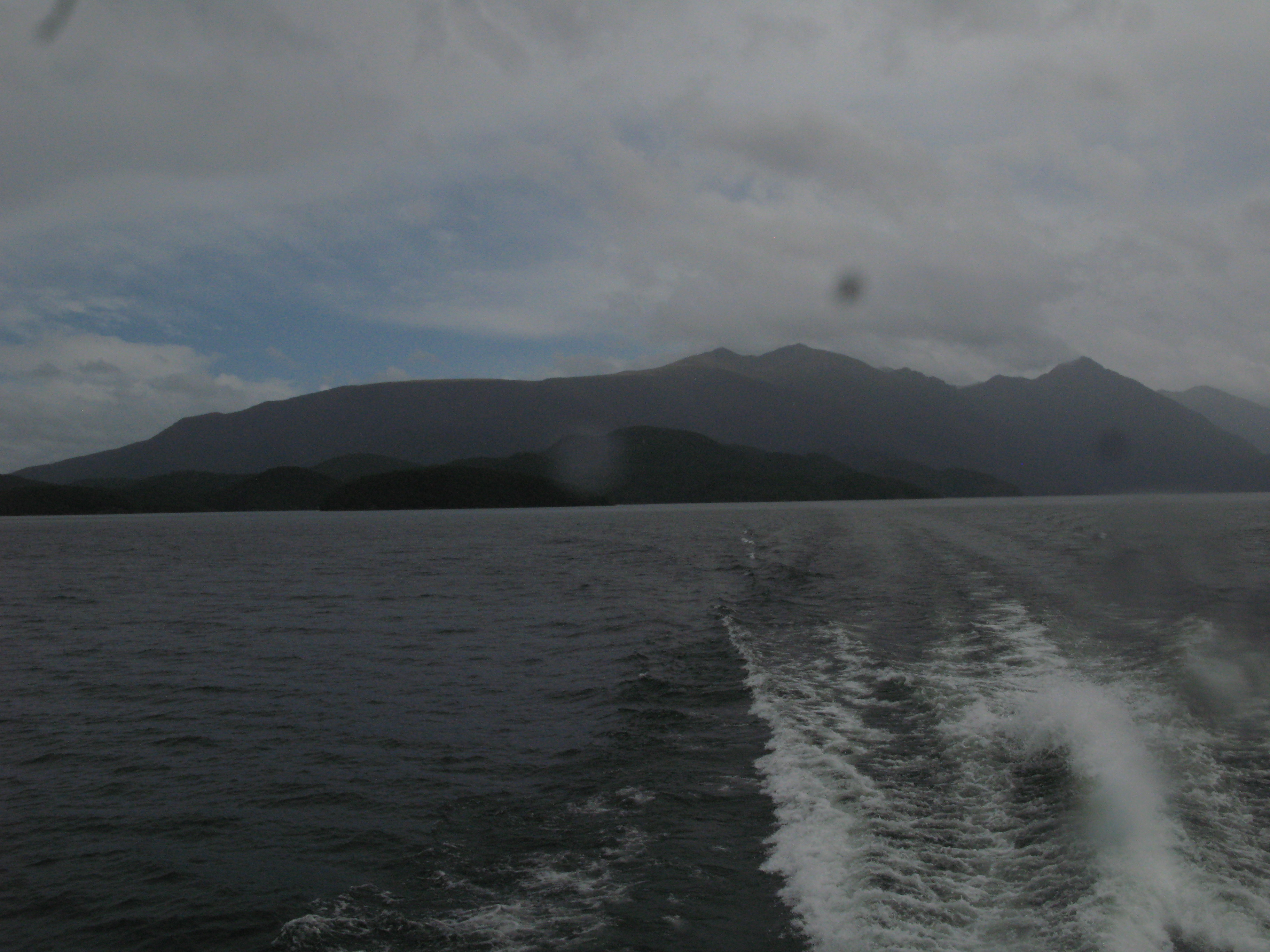
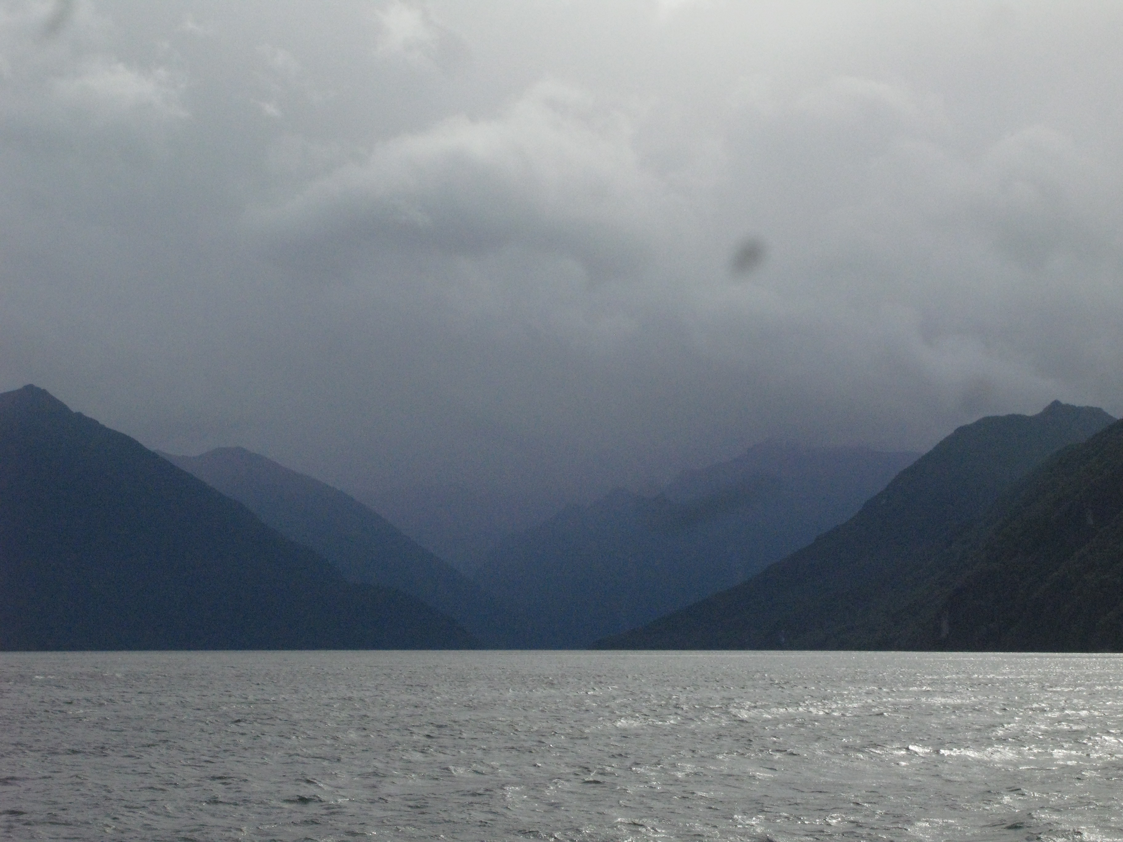
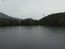
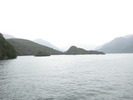
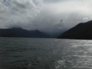
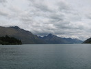
 | Lake Te Anau runs basically north-south, but it has three arms branching off from it to the west which are somewhat unimaginatively names South Fiord, Middle Fiord and North Fiord. This is looking westwards down the lenght of South Fiord from the mount of the arm. |
 | West bank. |
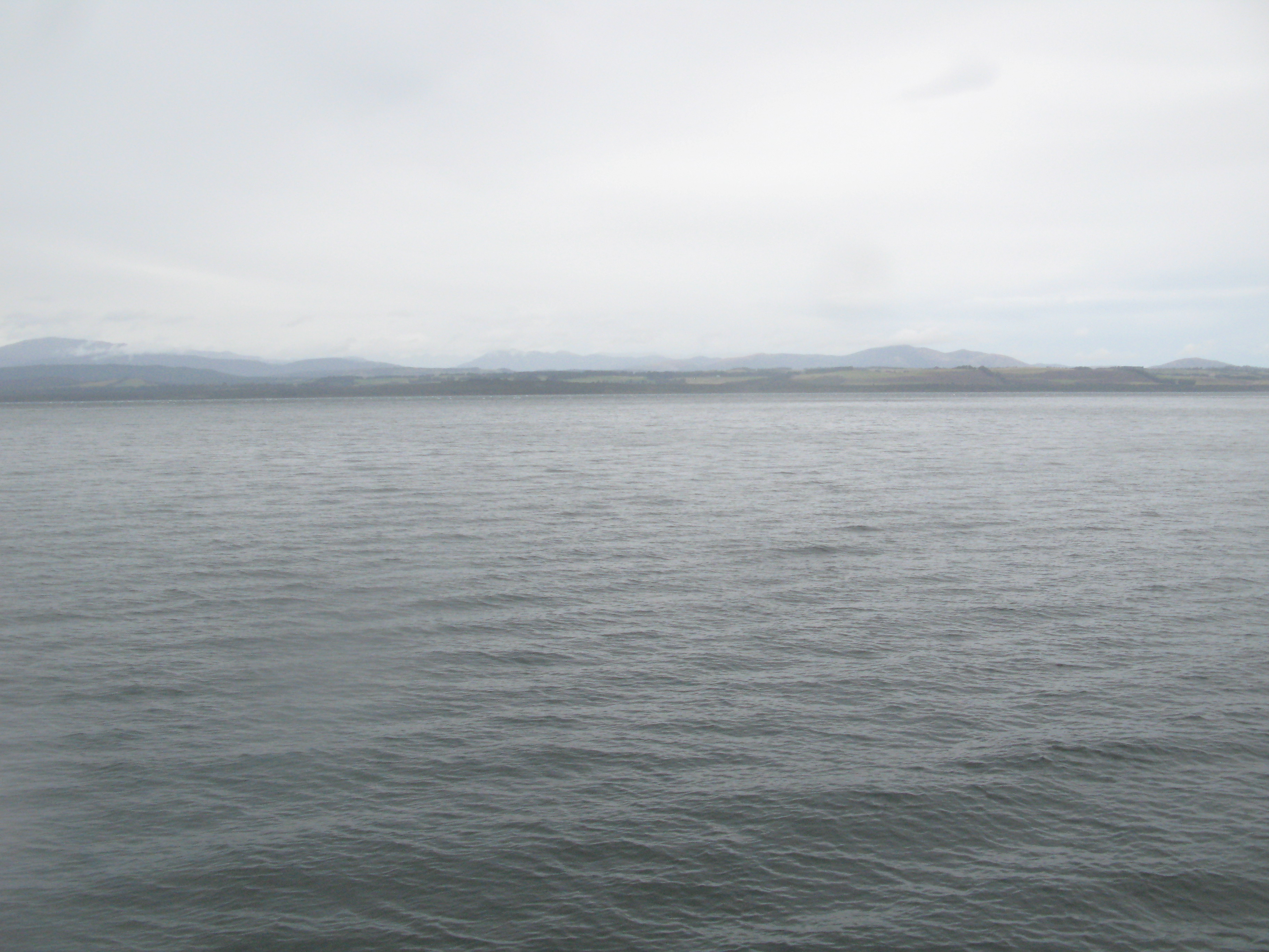
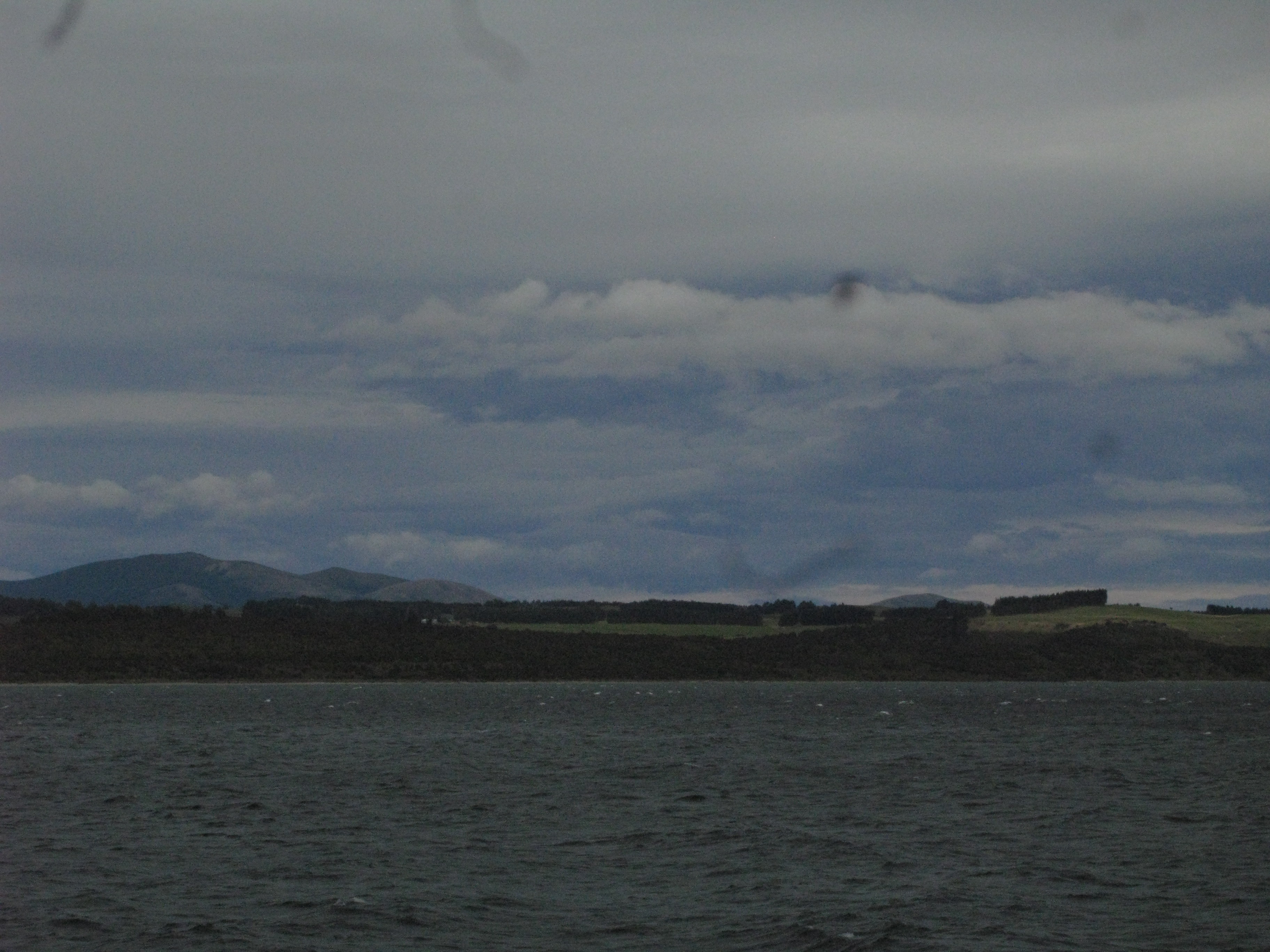
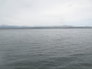
 | Northward. Lake Te Anau is the largest lake in New Zealand by volume and second largest by surface area. |
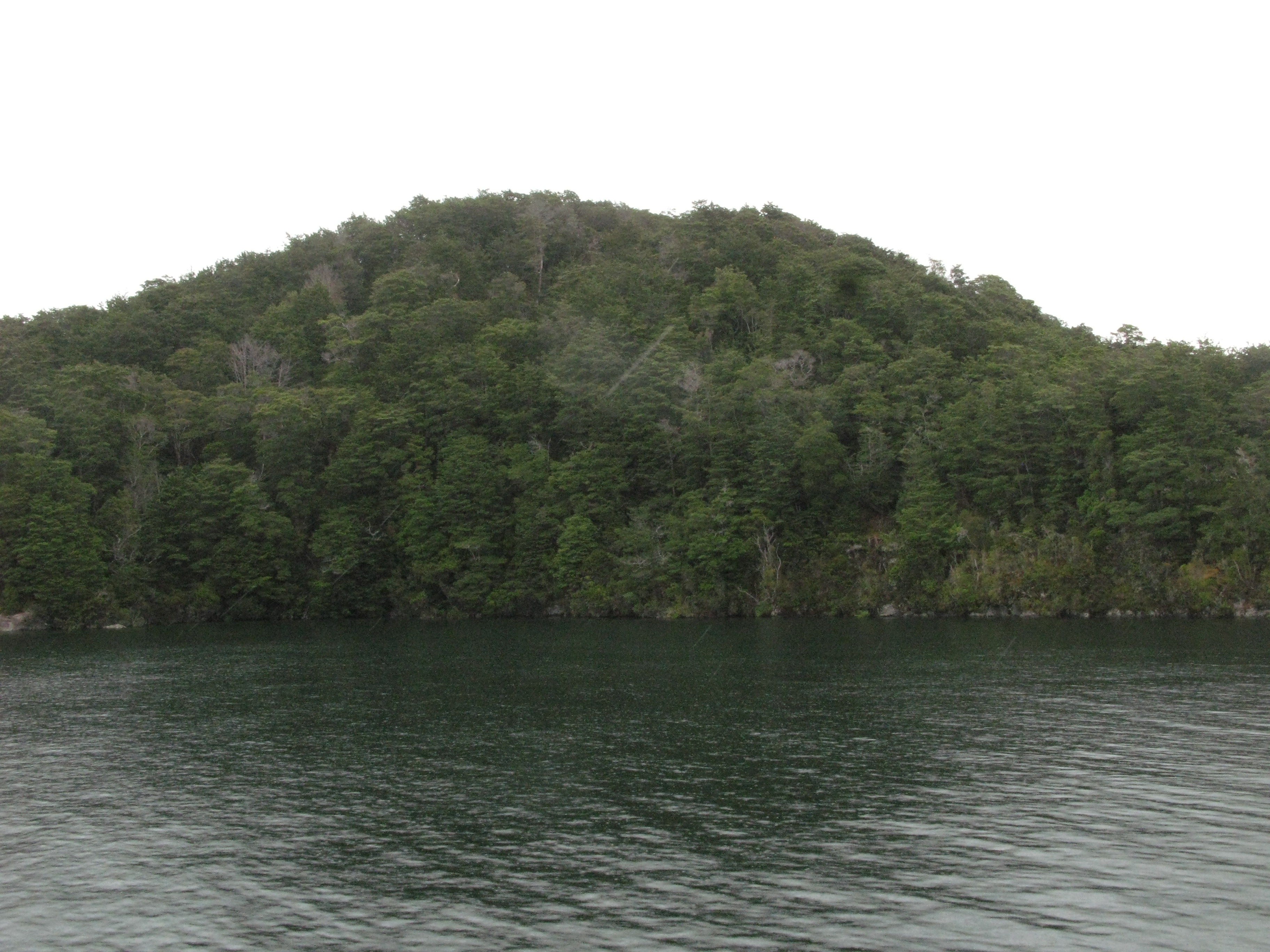
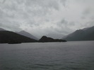
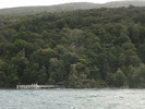
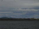
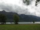
 | There is a marked difference between the heavily-forested west bank of the lake (part of Fiordlands National Park) and the pastoral east bank. |
 | Looking back at the Dome Islands with Mount Luxmore in the background. |
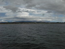
 | Southward. |
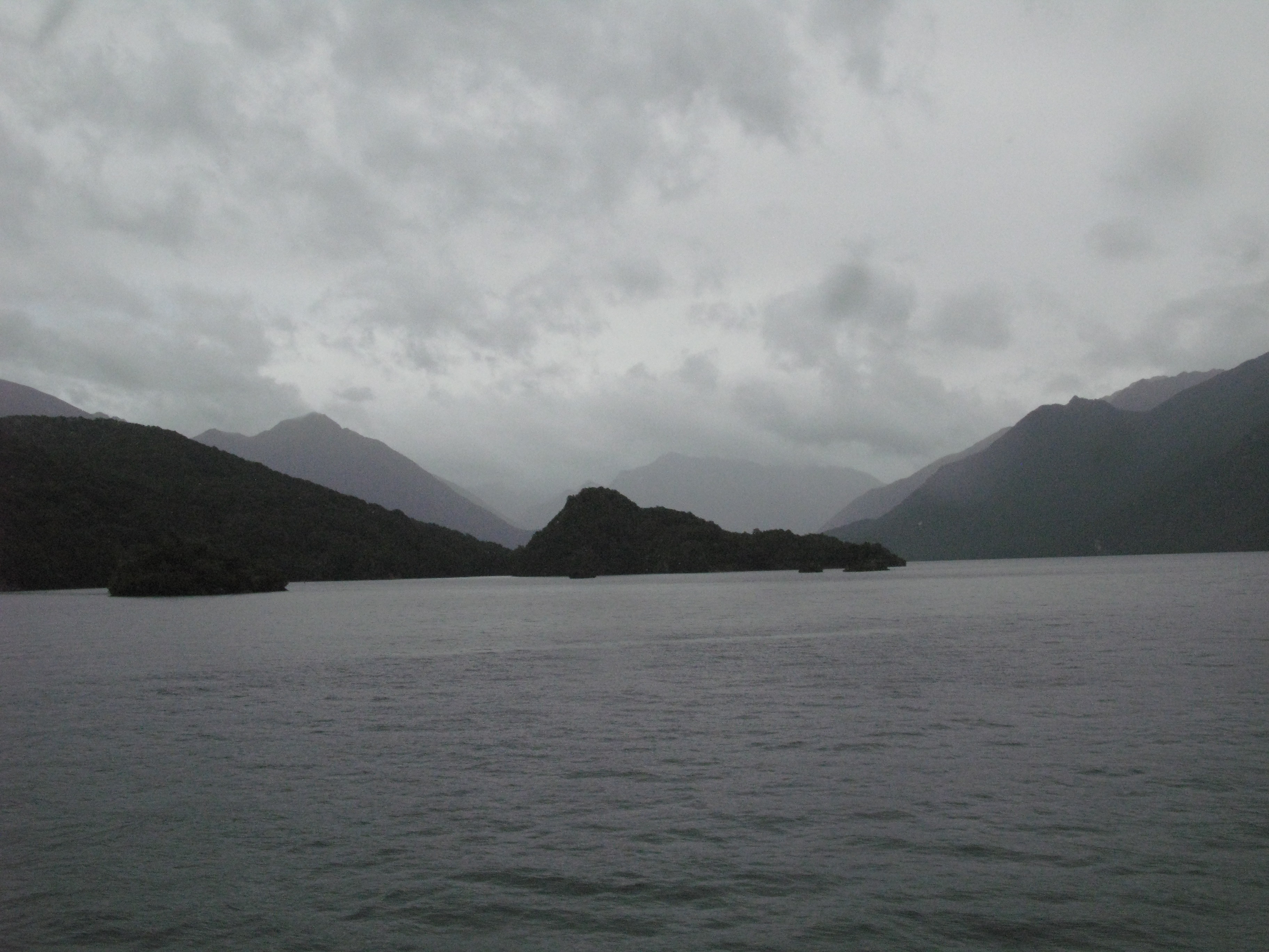
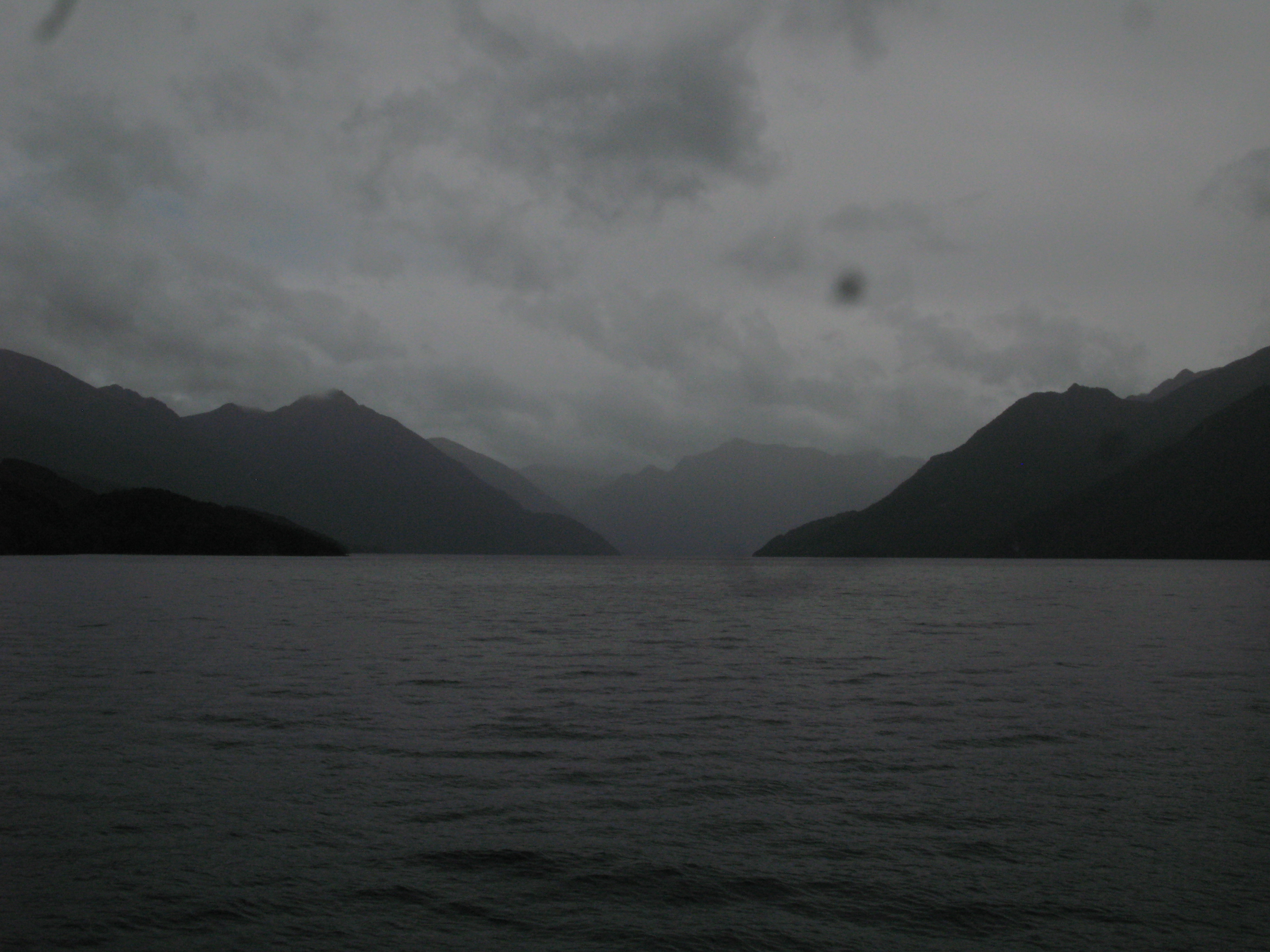
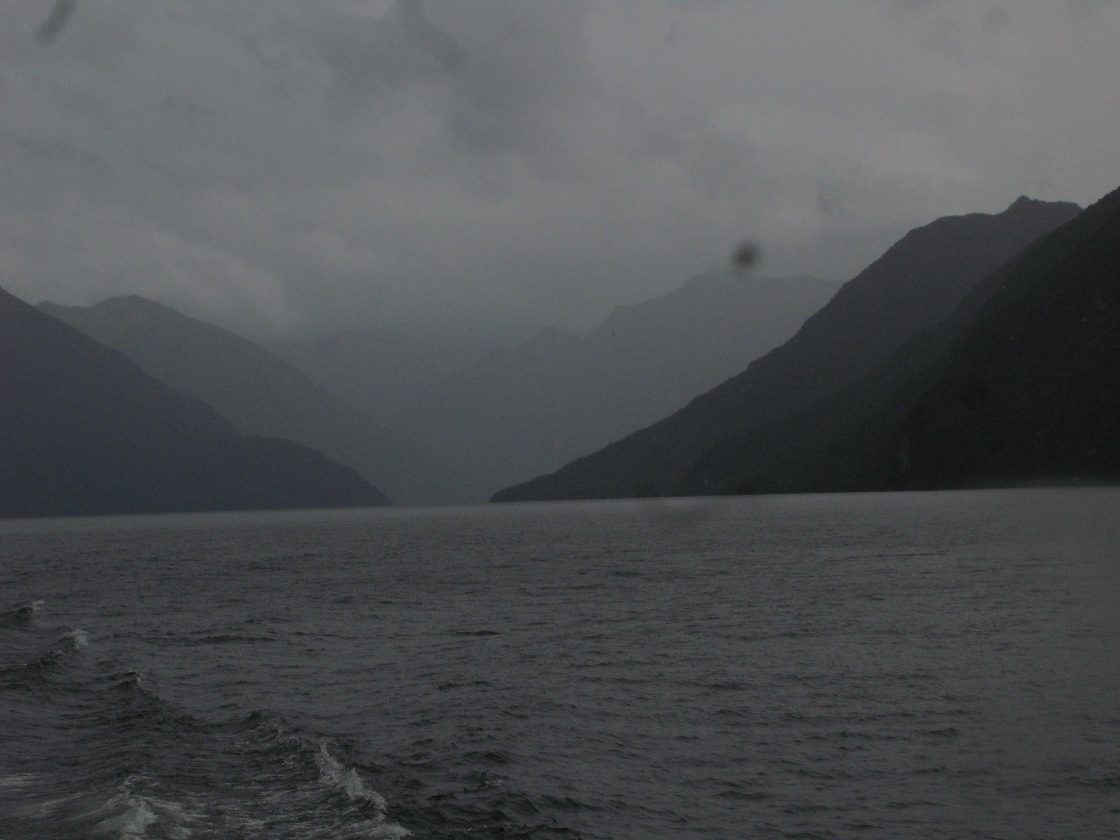
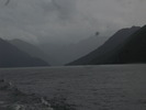 | Another look down South Fiord under heavy rainclouds. |
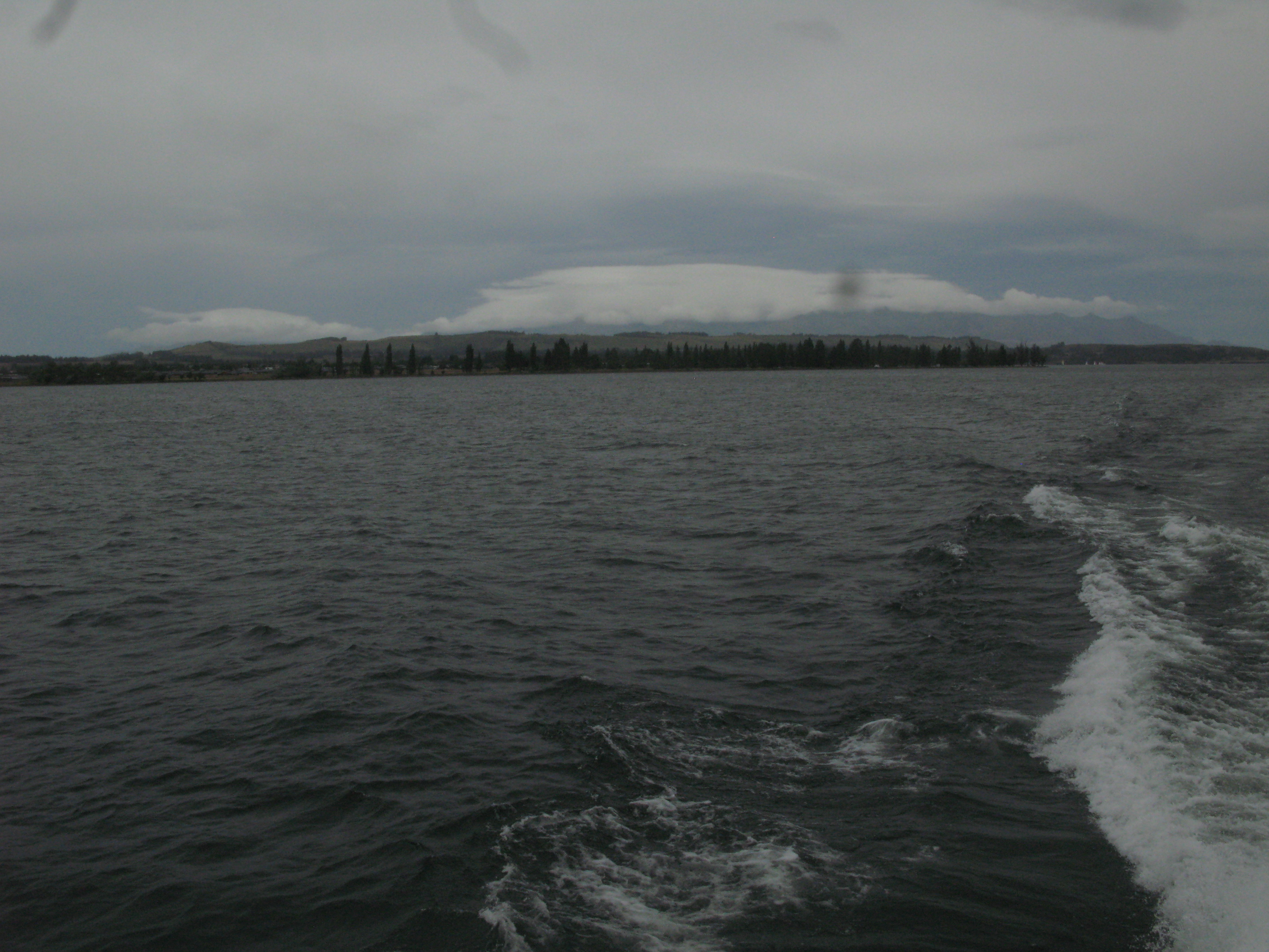
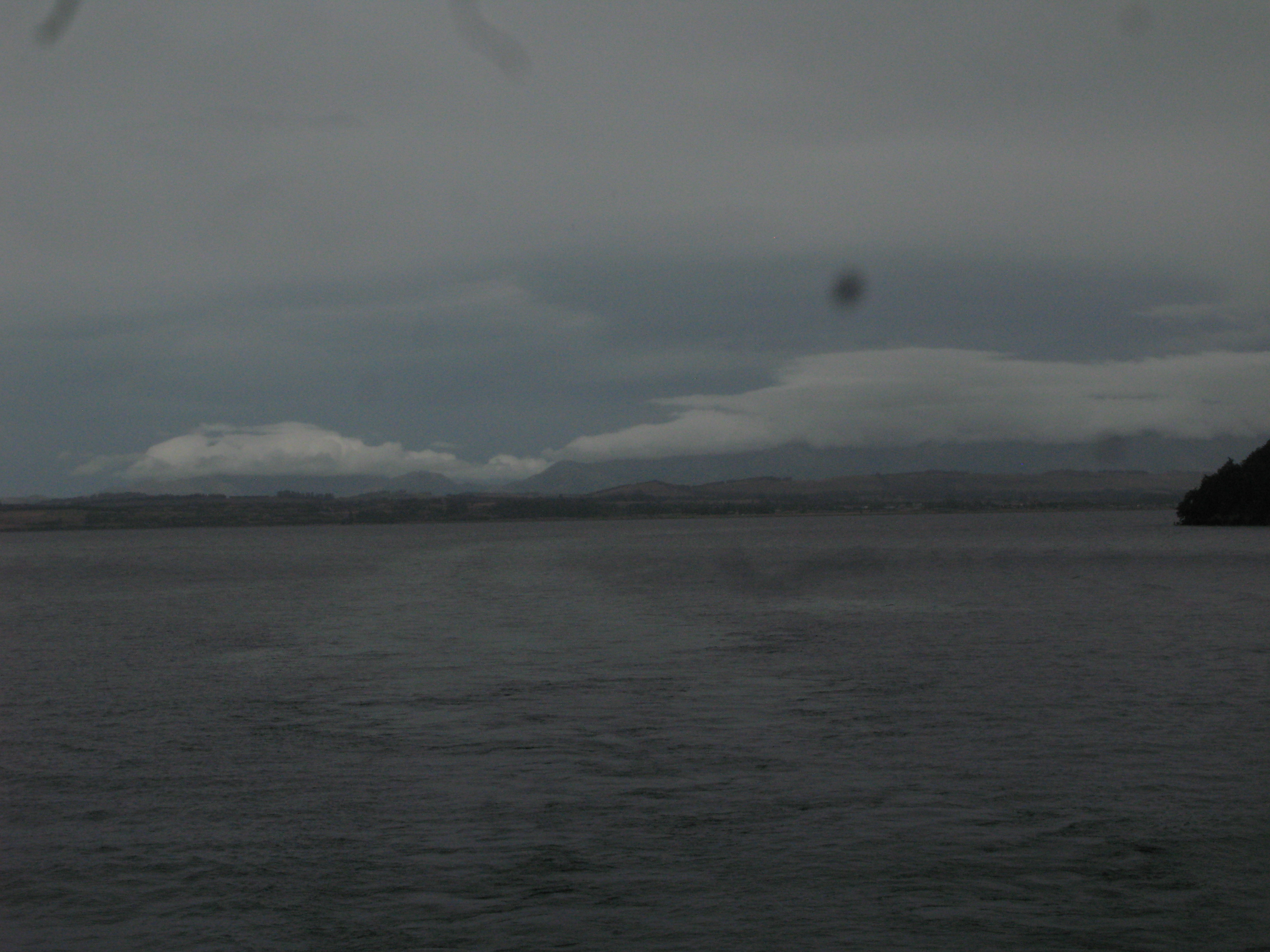
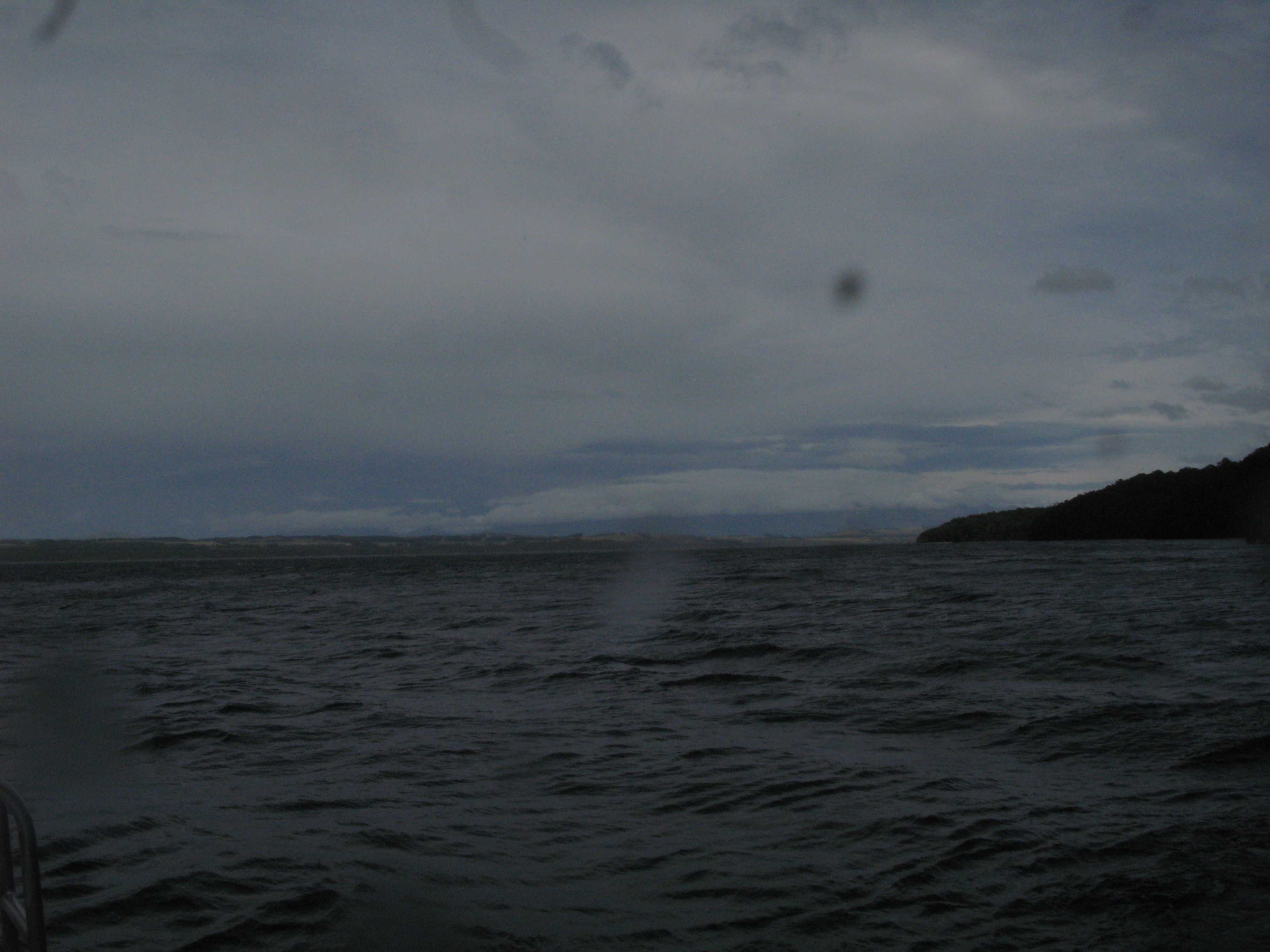
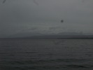
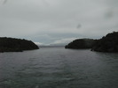
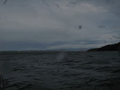
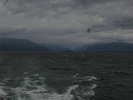
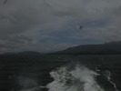 | Looking back south. Due to the rain, the north wind, and the speed of the boat, it was much easier to take pictures looking south than north. |
 | Looking north. To take a picture looking north, in the direction of travel I had to get ready and quickly take a picture before the lens got coated with water and I'd have to spend time drying it again. Also, rain in the face at 25 knots is not all that pleasant. |
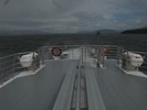 | On the plus side, due to the weather, I had the upper deck to myself. |
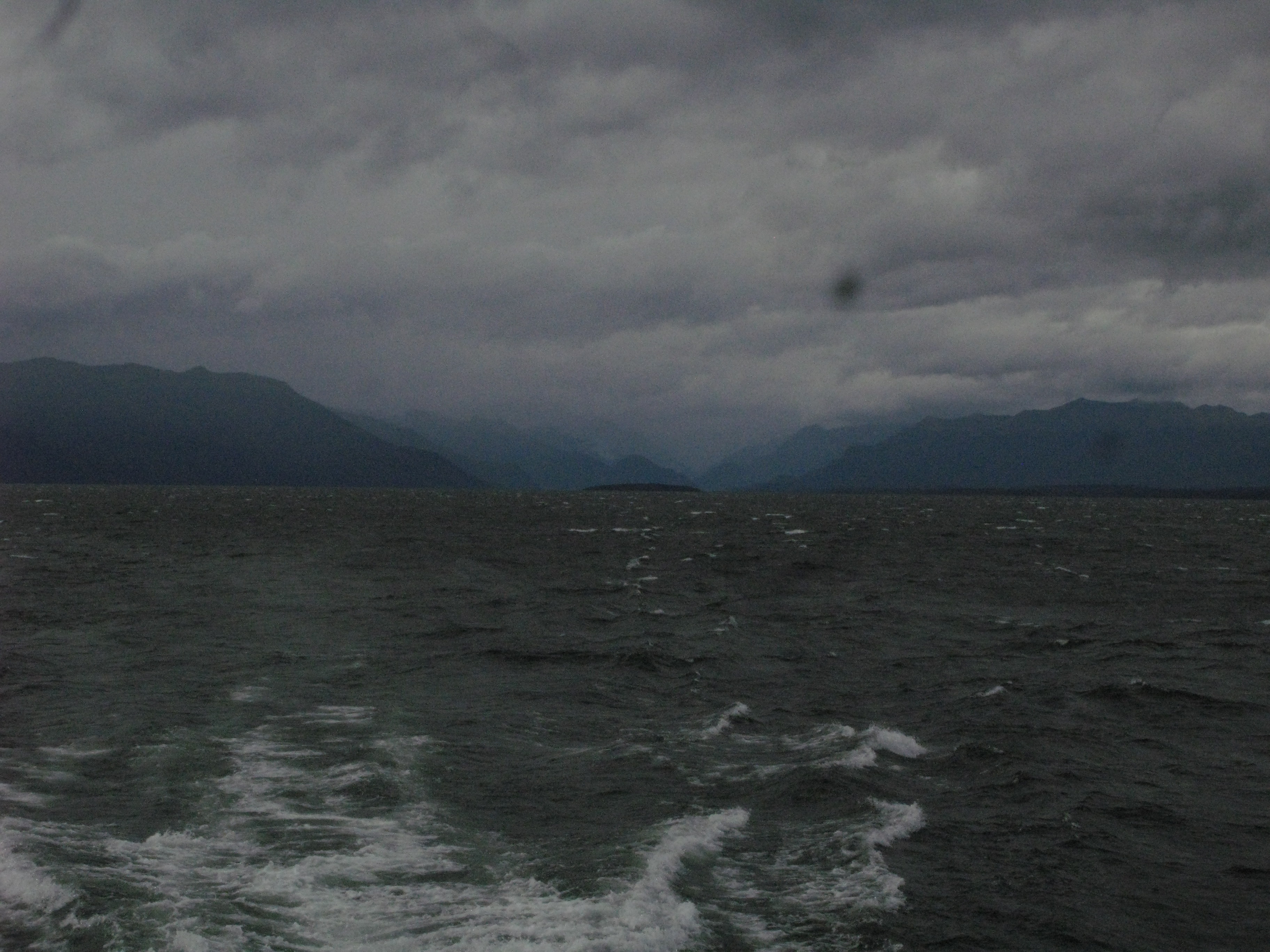
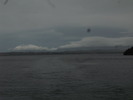
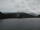
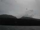
 | The weather breaks to the south of us. |
 | Approaching the dock. |
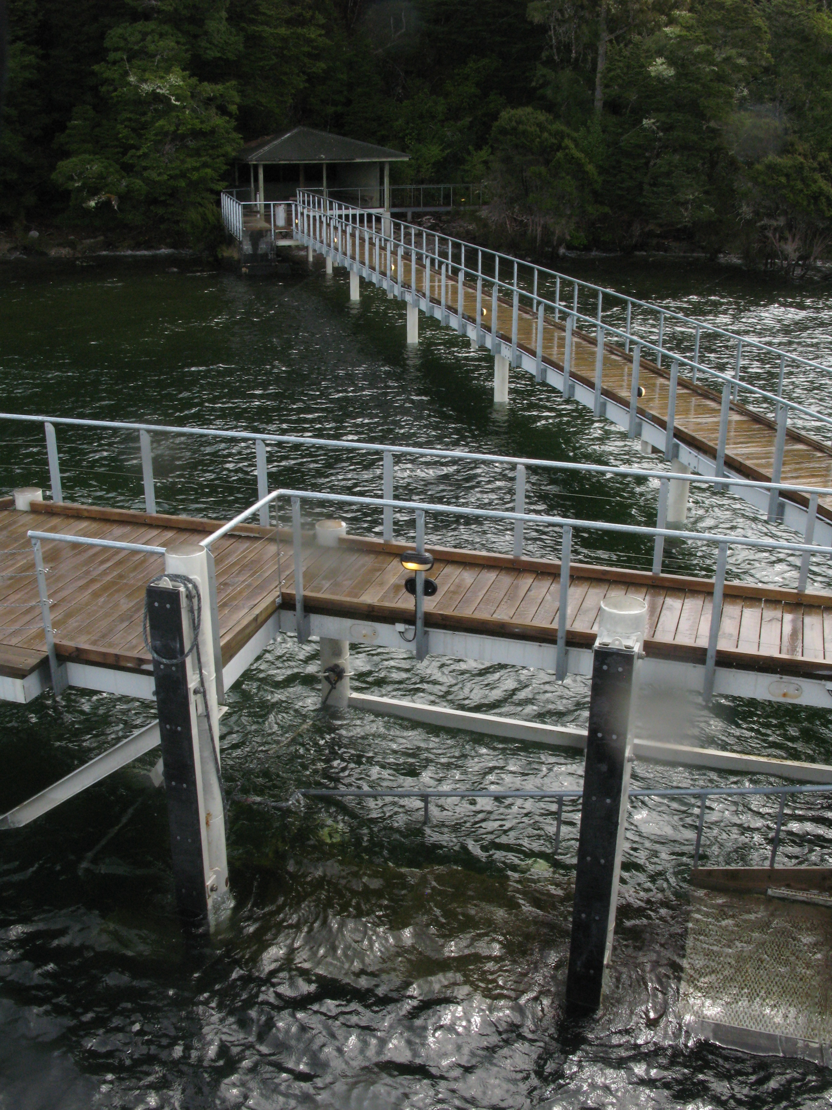
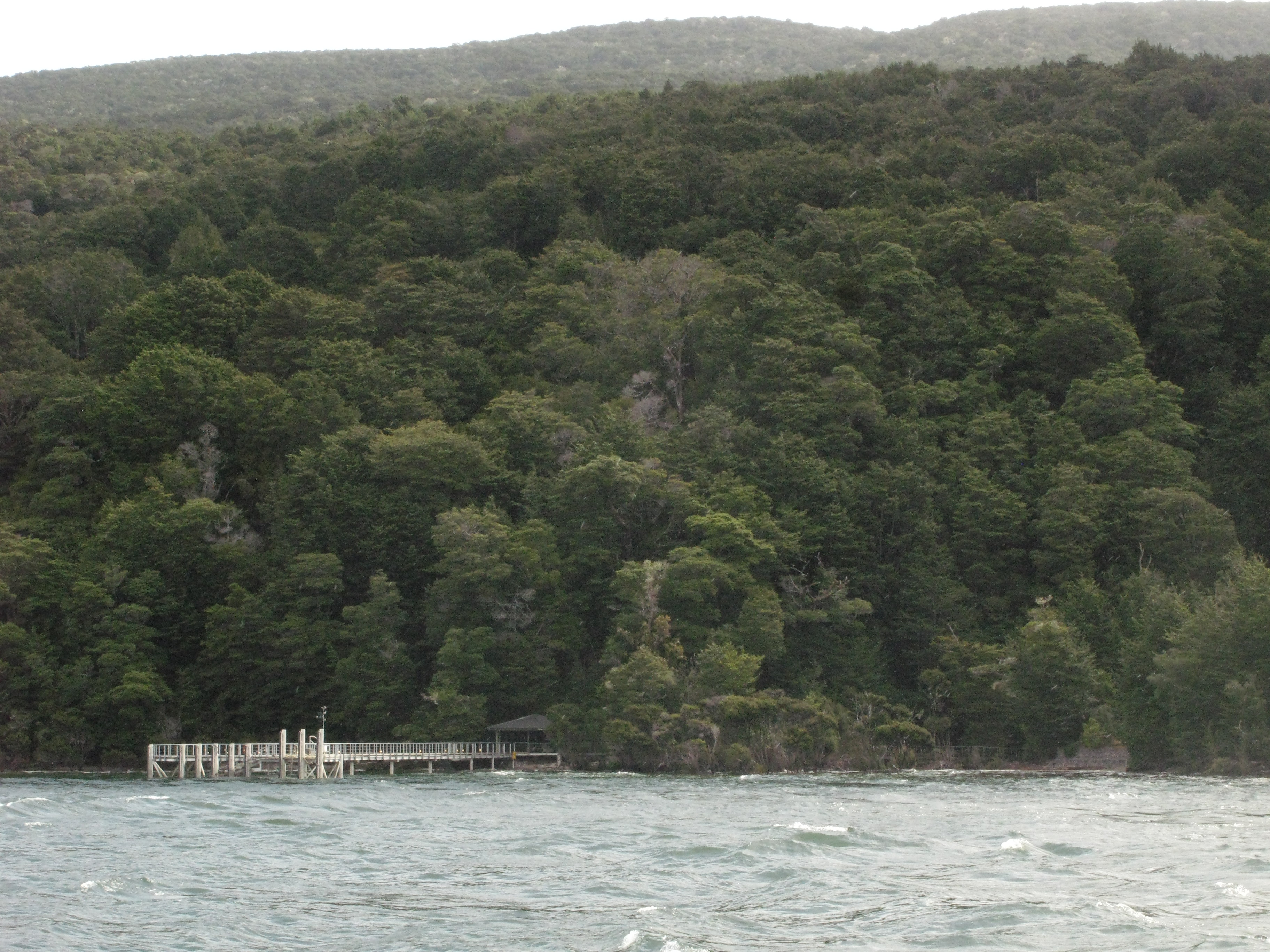
 | Tunnel Burn dock. |
 | Tunnel Burn dock. |
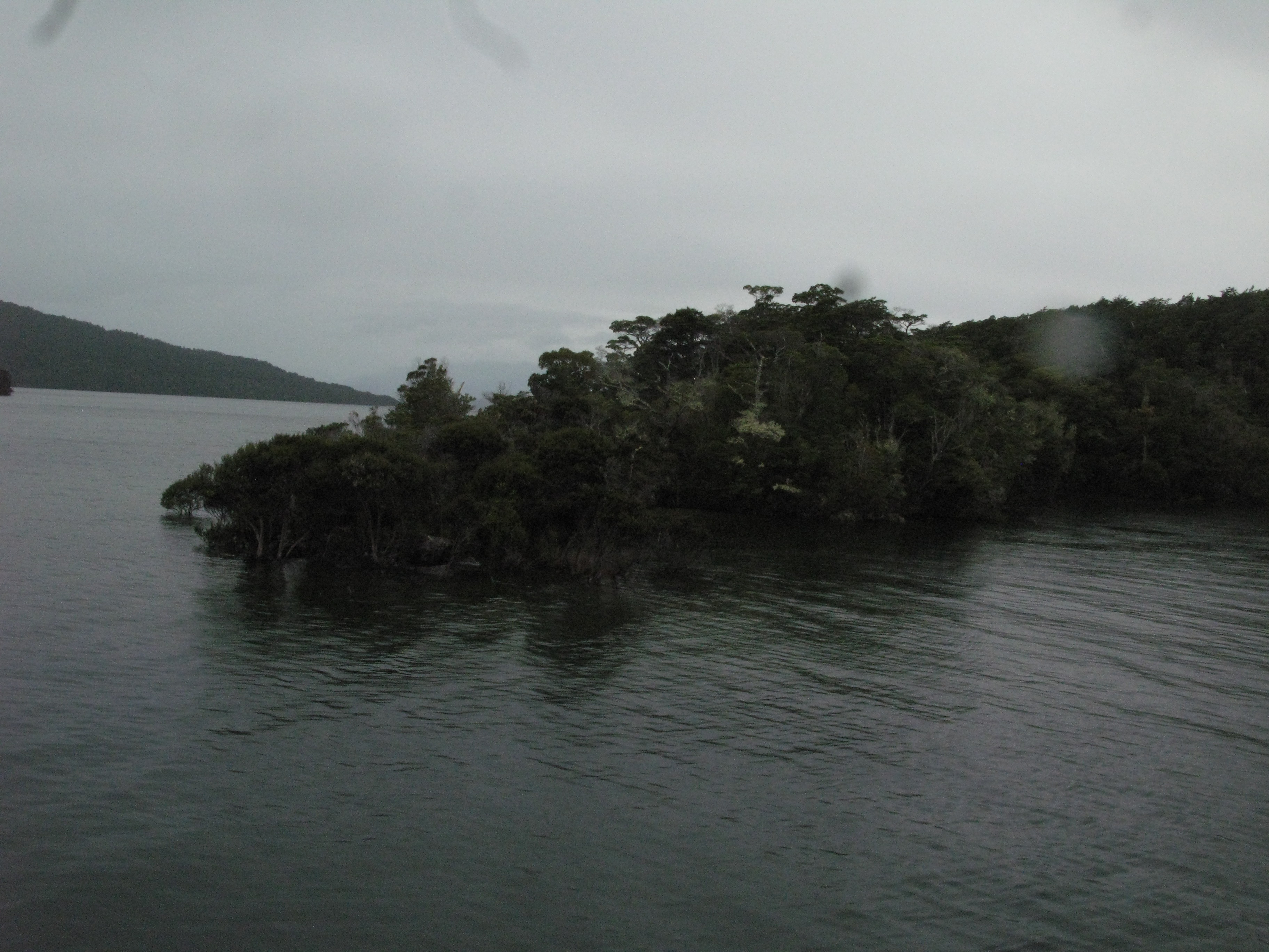
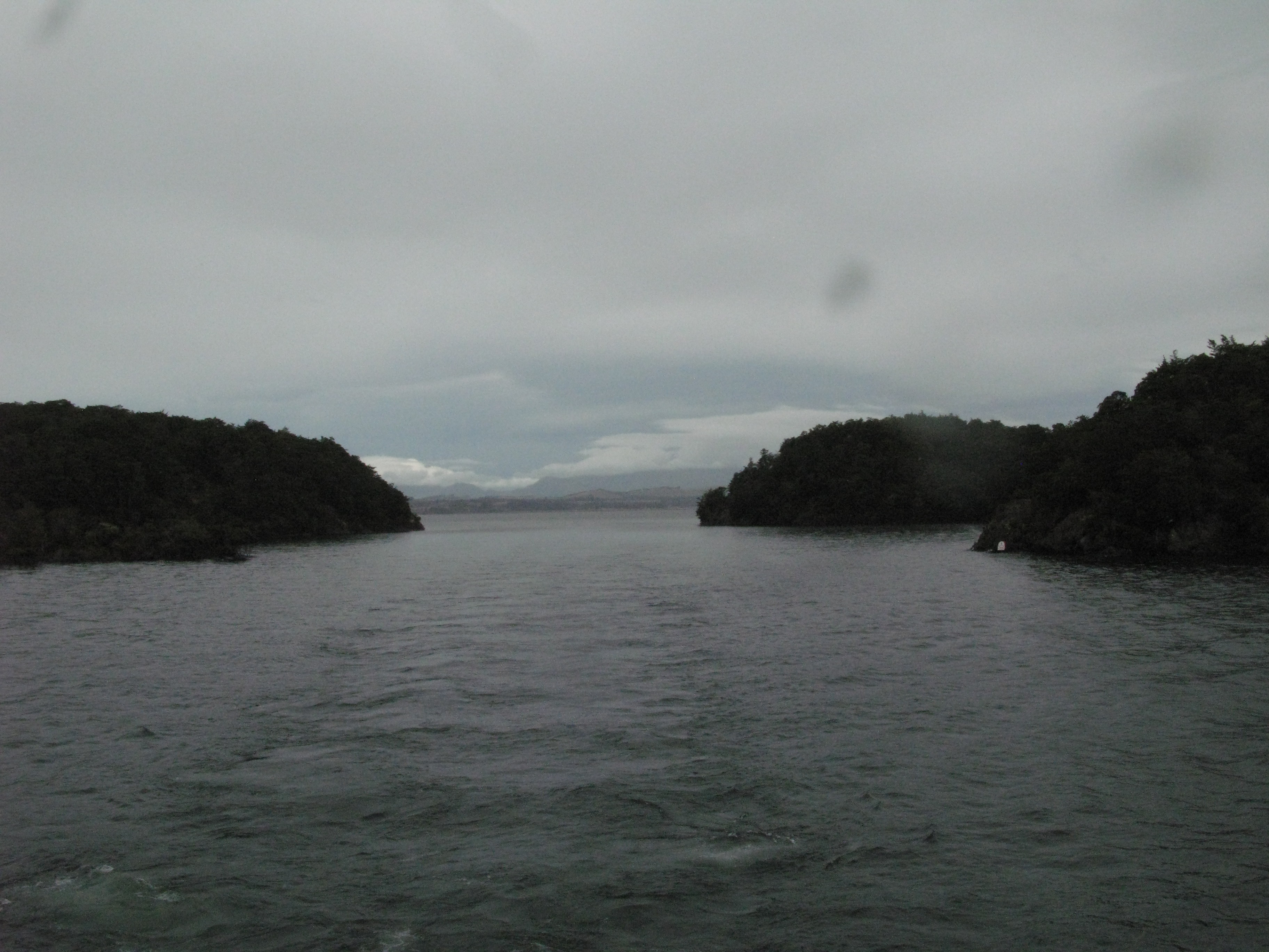
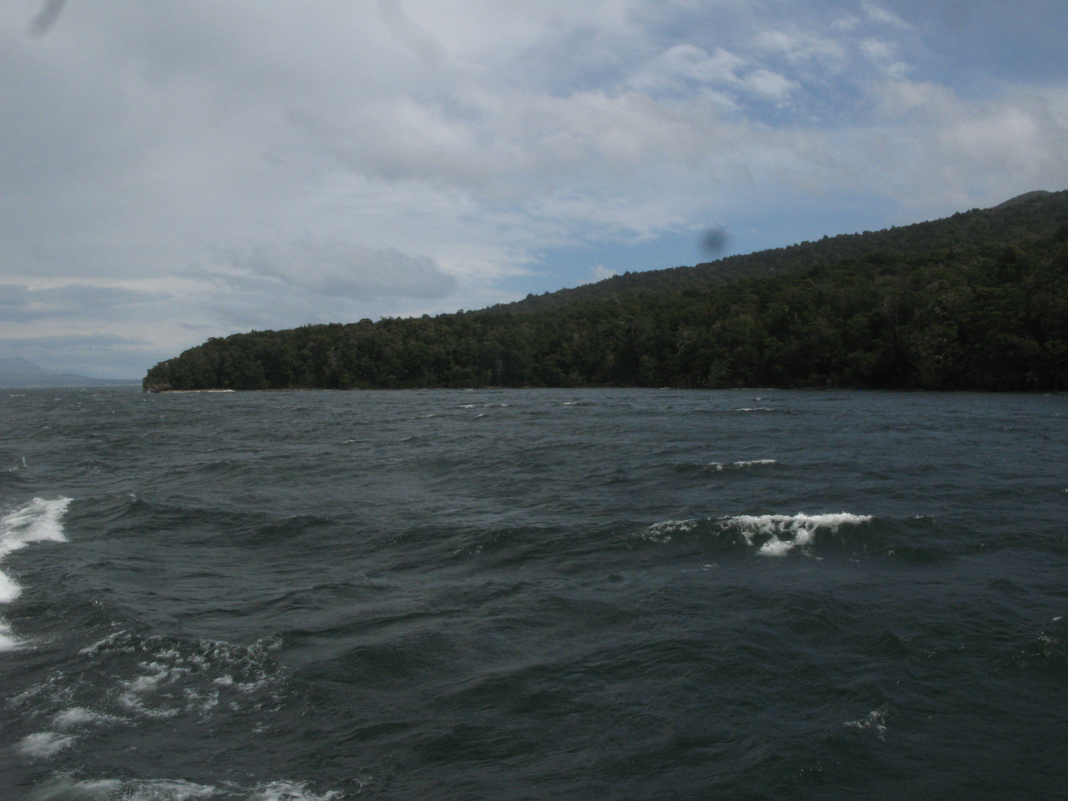
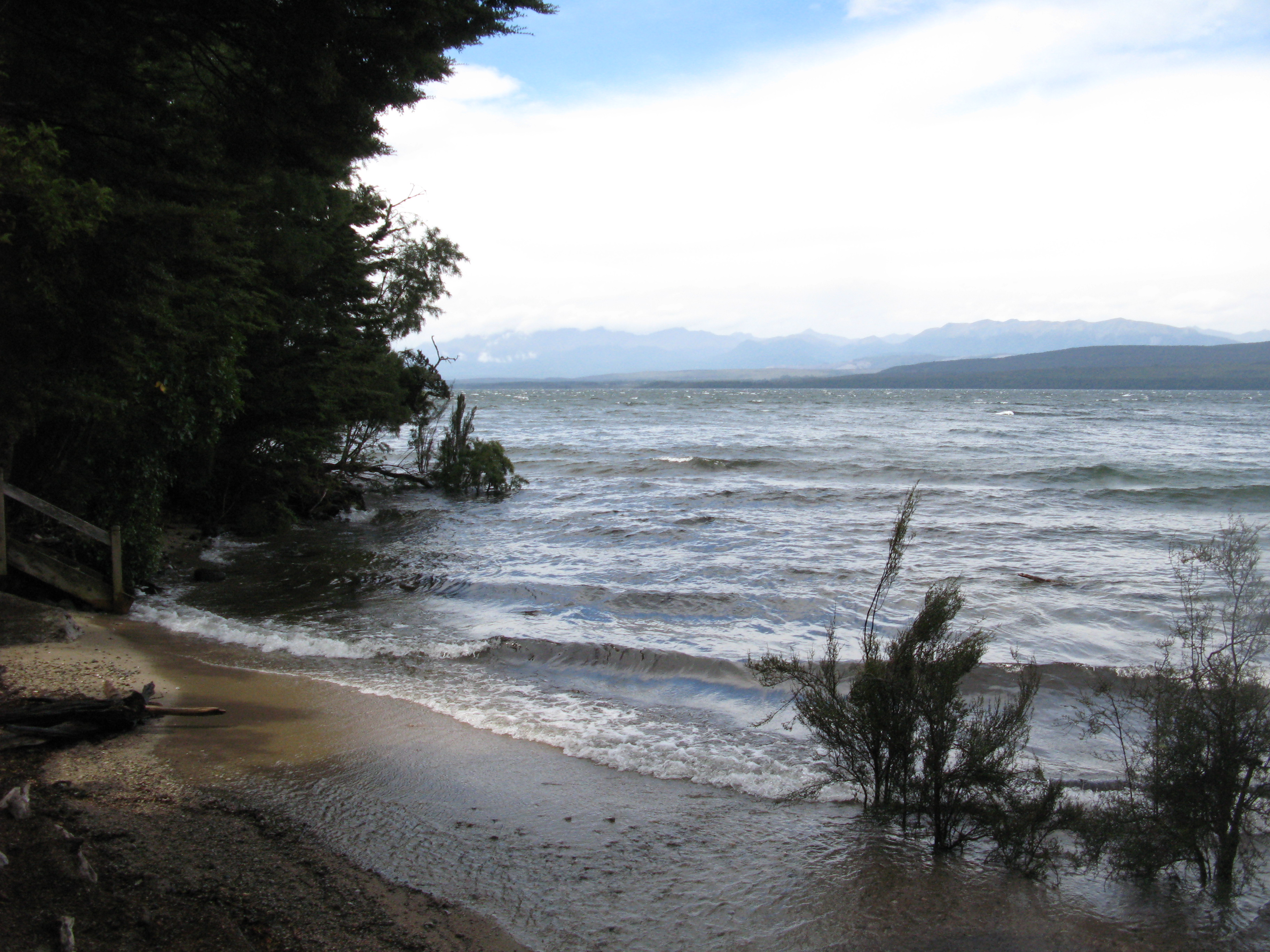
 | Garden Point at right (the northern entrance to South Fiord). |
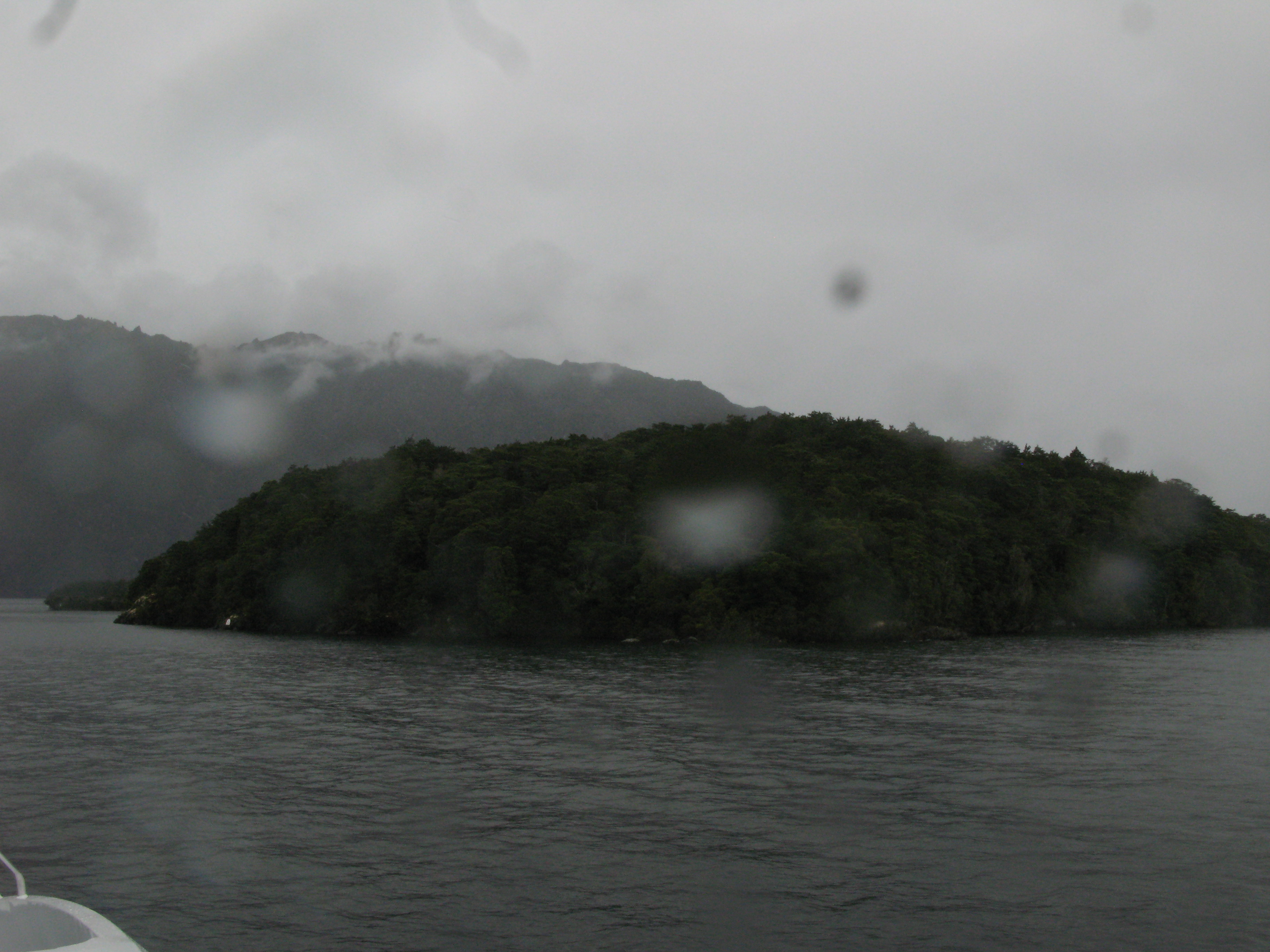
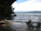 | The shore at Tunnel Burn. As you can see, the weather is clearing steadily. |
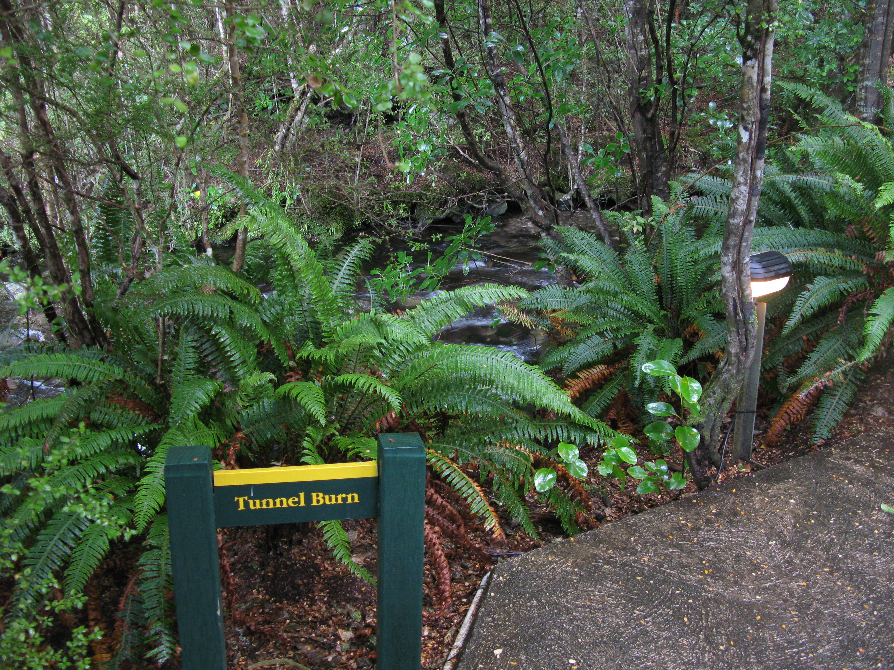
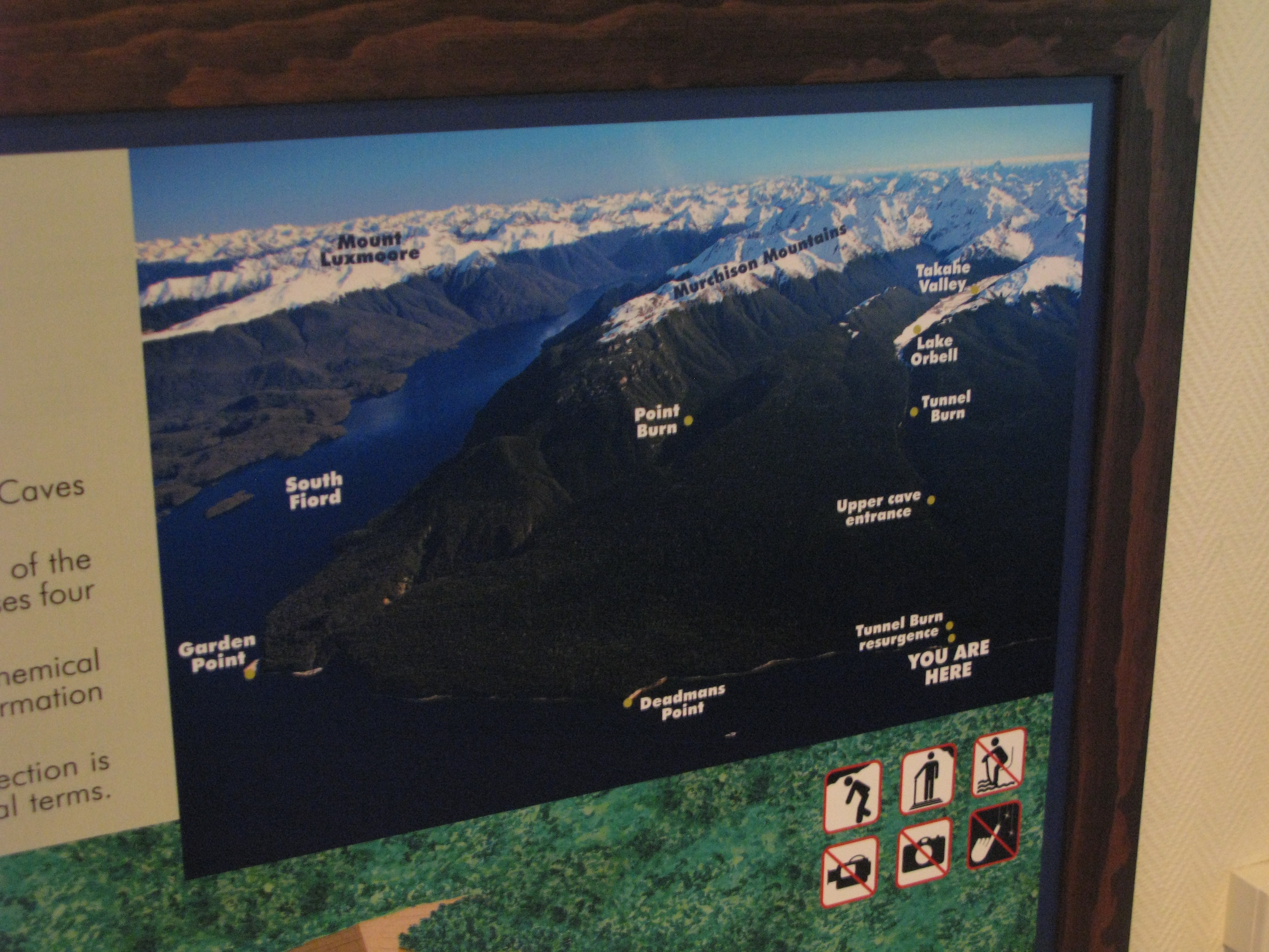
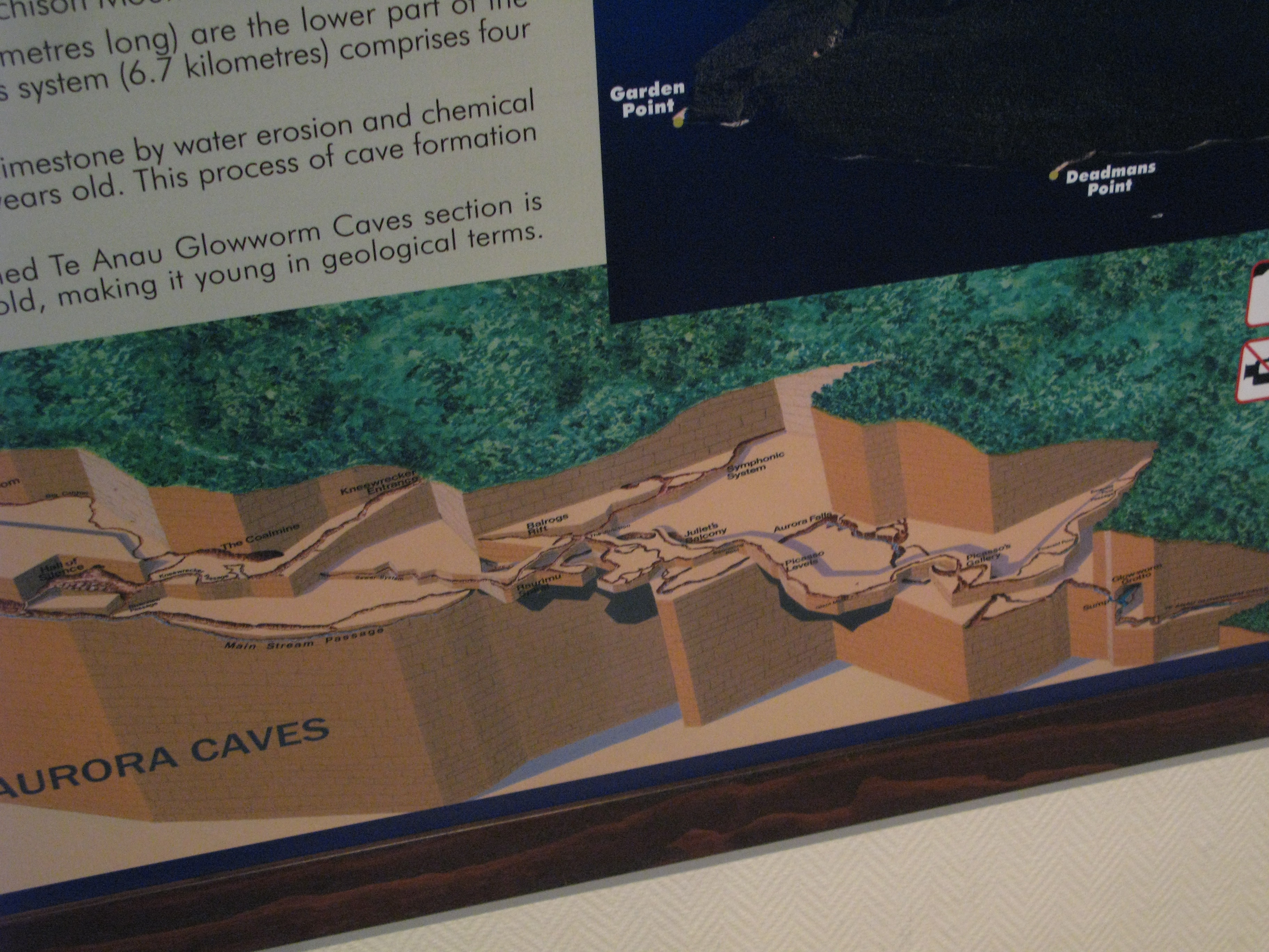
 | Tunnel Burn. ("Burn" is a Scottish word meaning "stream"). The Tunnel Burn is the stream which runs through the Aurora (Glowworm) Caves. |
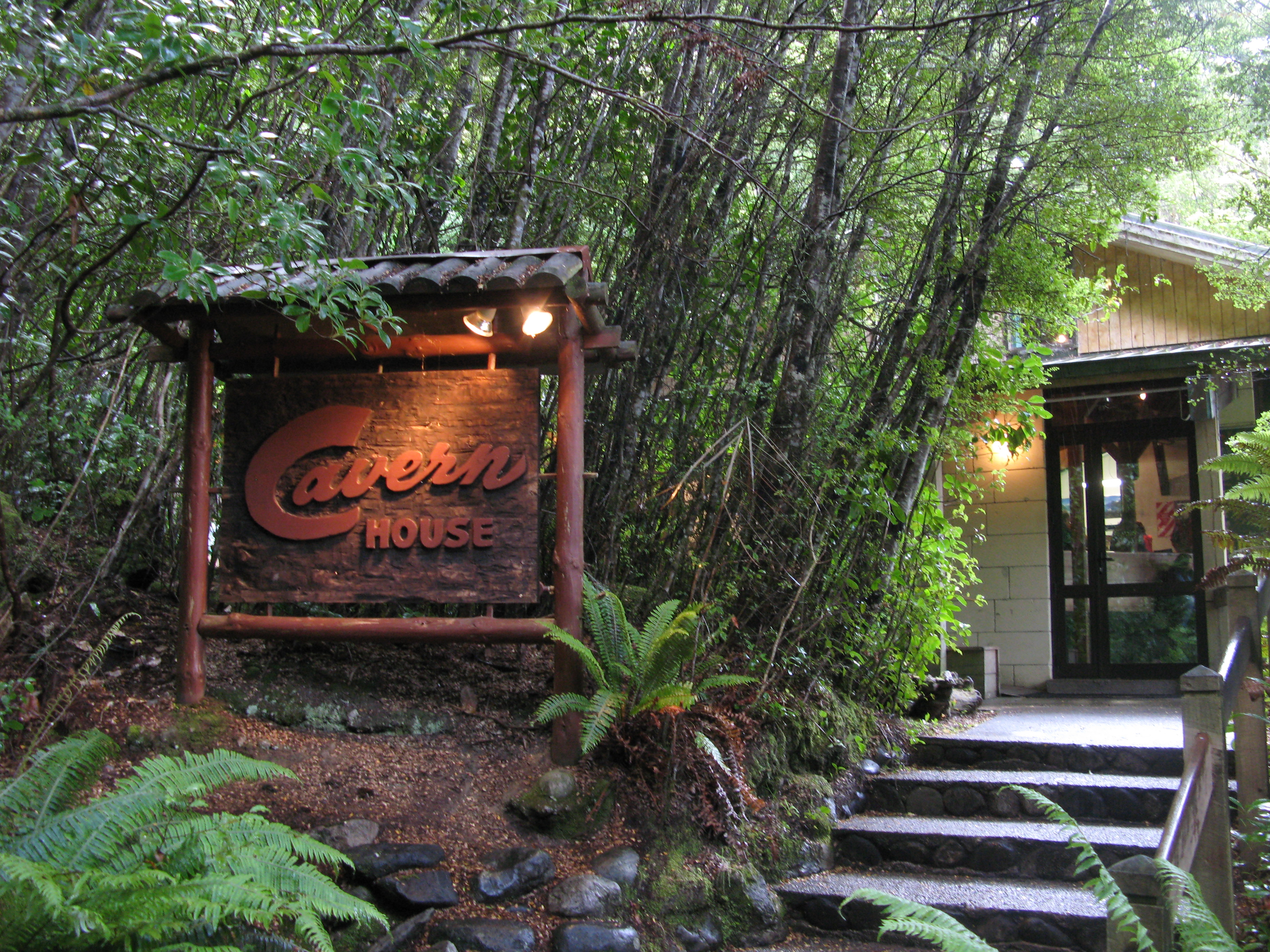
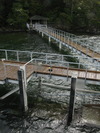
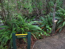
 | Cavern House. |
 | Our situation at Cavern House. Tunnel Burn spends a fair bit of time underground. |
 | A cutaway view of the lower half of the Aurora Caves. The tour, starting from the entrance rightward of the photograph, only gets as far in as the Glowworm Grotto at the far right. |
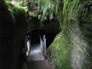 | Entrance to the cave. The entrance is about four and a half feet high, but the path through the cave is otherwise fairly easy. |
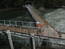
 | Heading back to the boat after the tour. |
 | The east bank again from the dock. There's a log floating in the water. |
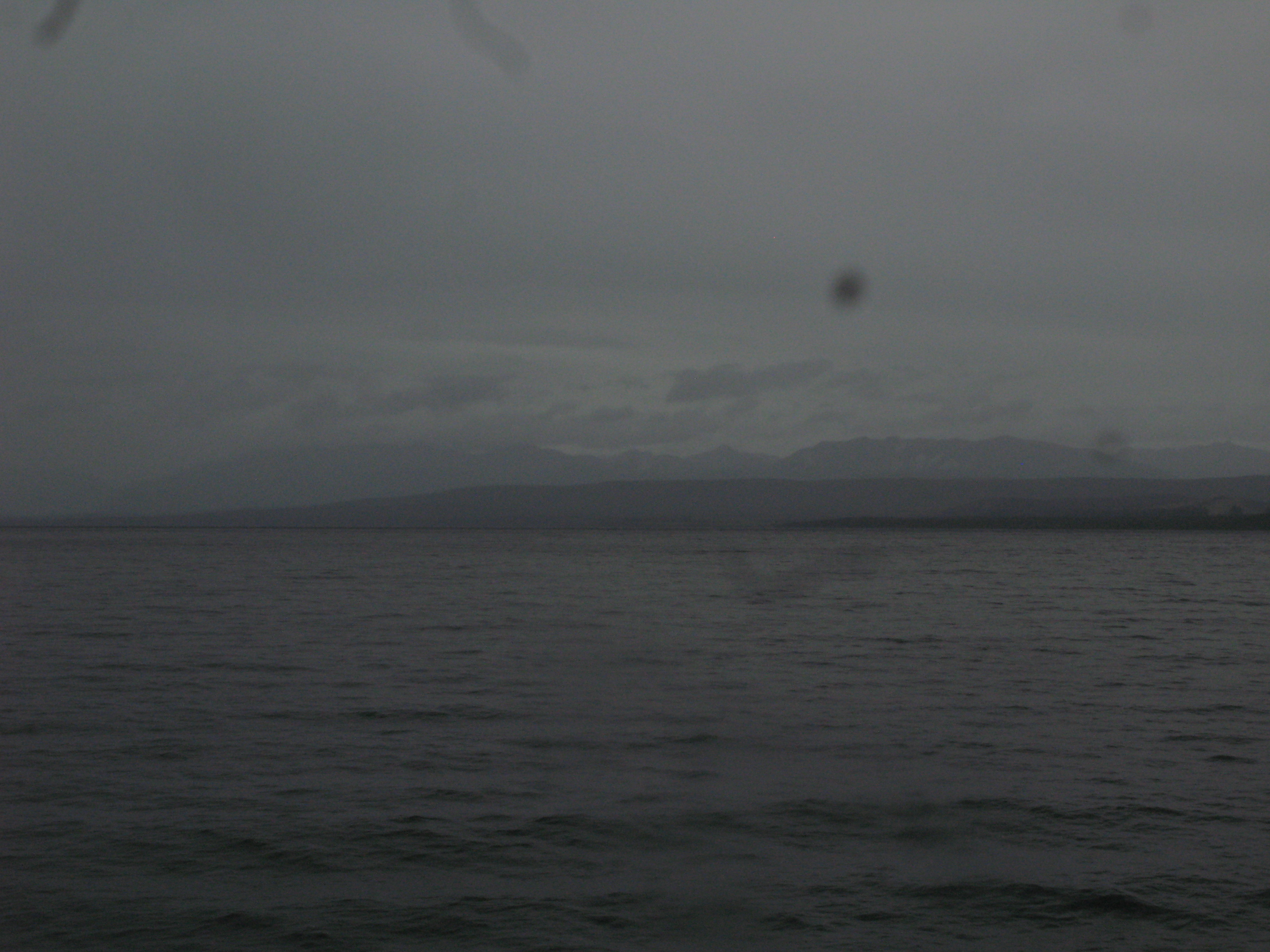
 | Looking north up the shore, where it's still raining. |
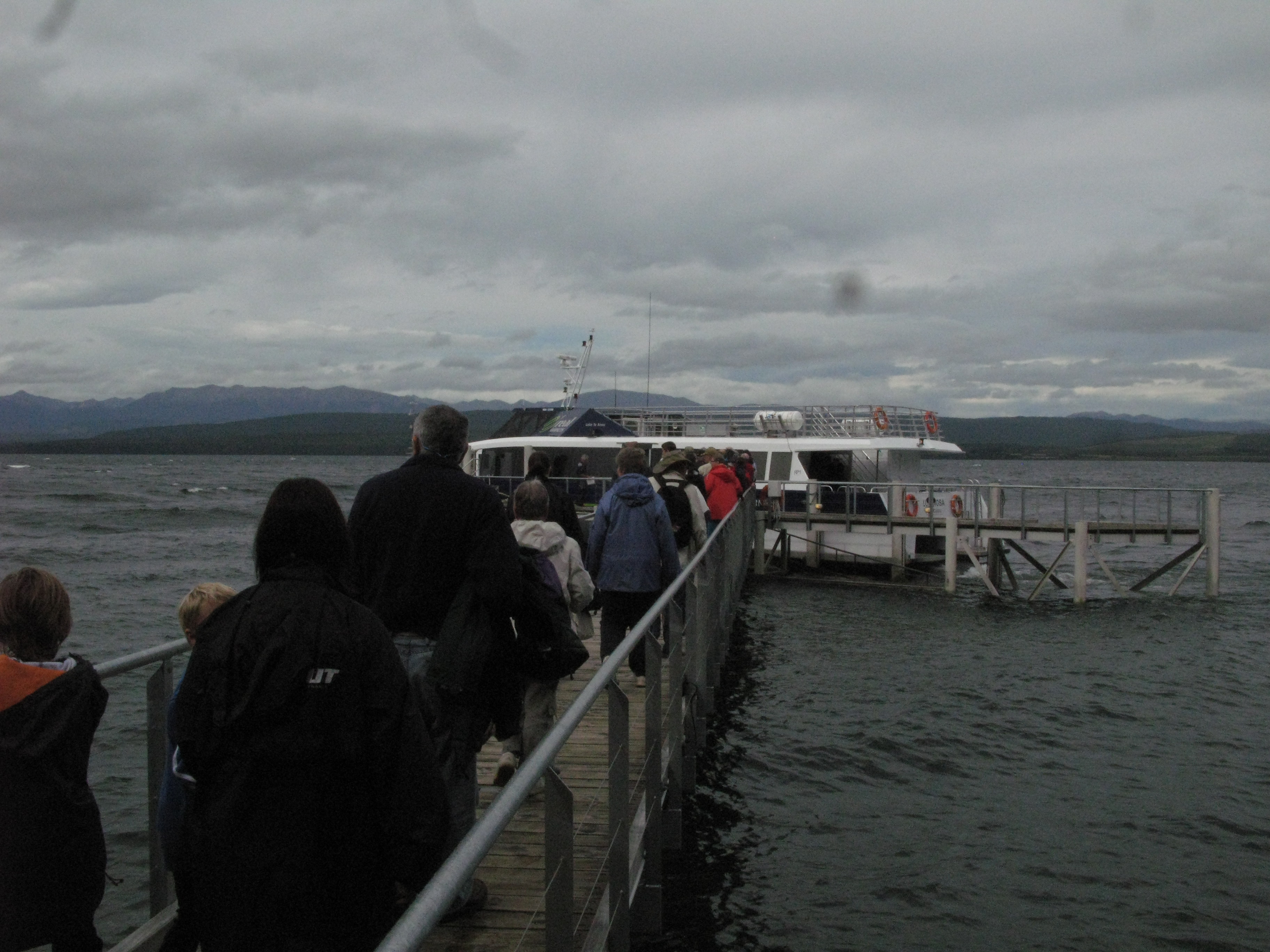
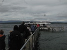
 | Re-boarding. There were about seventy people on the tour, but we were broken up into smaller groups of about a dozen for the cave tour. I was in the last, smallest group. |
 | Departing the dock. |
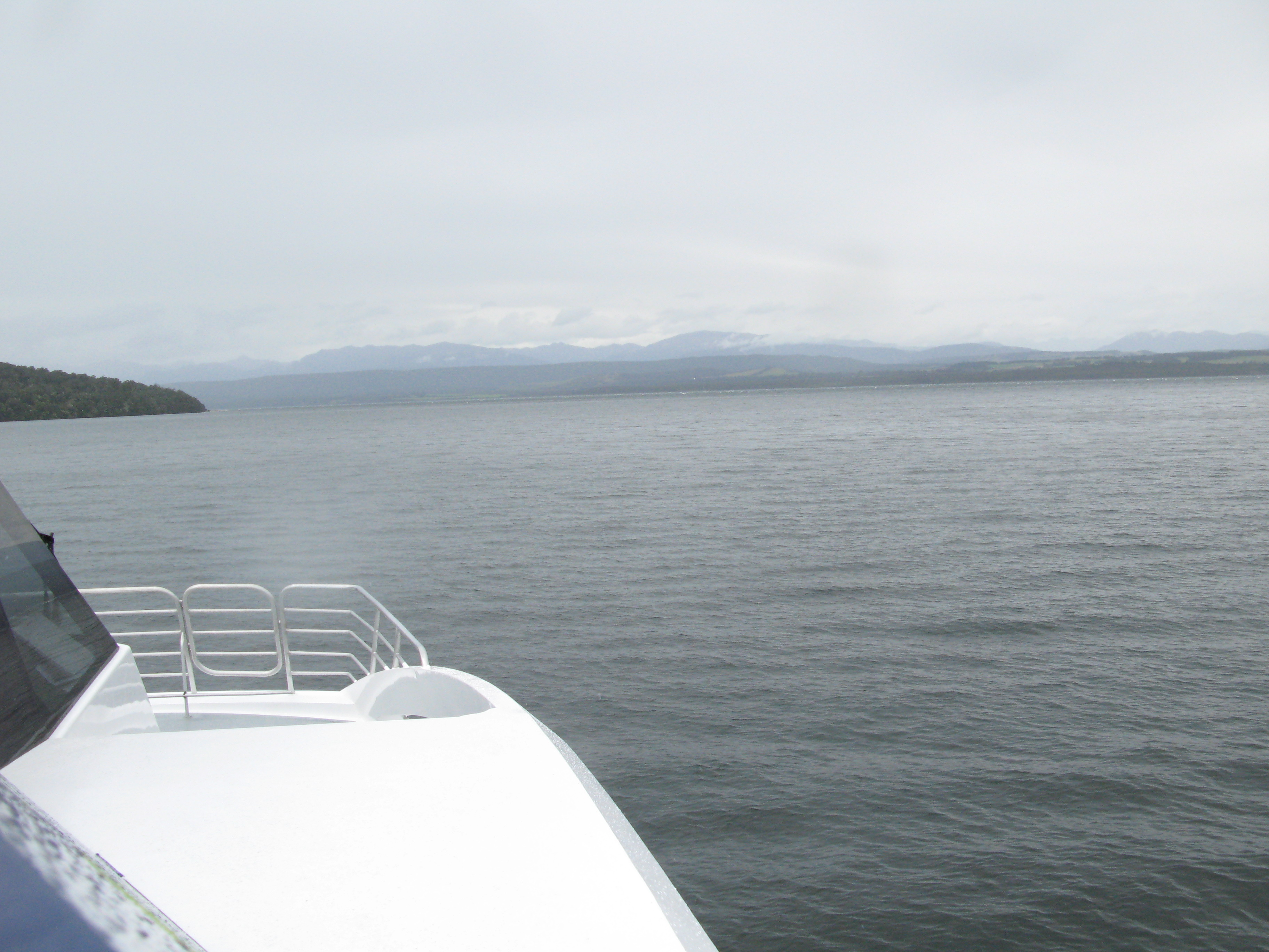
 | Heading back towards the townsite. |
 | Centre Island to the north of us. |
 | South Fiord, again. |
 | And the east bank. |
 | South Fiord. |
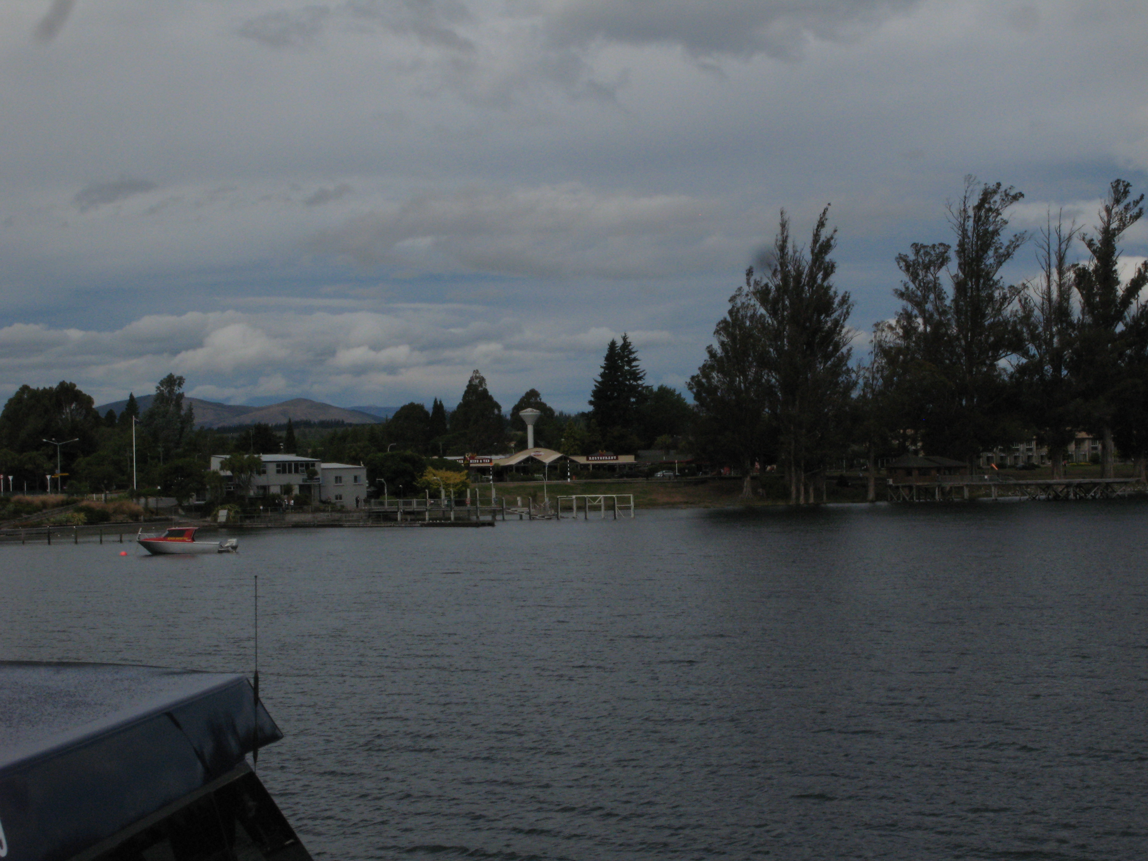
 | Coming back into town. |
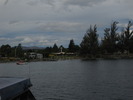 | Back in town. |
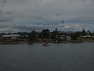 | Back in town. |
 | Te Anau town from a hill east of town. The Murchison Mountains are in the distance, on the far side of the South Fiord. |
|
 |
| (19895x2497, 7203.84 kb) Lake Te Anau and the Te Anau townsite, with the mountains of Fiordland in the distance.
|
|
 | Rainbow! |
 | The view from my room. |
 | 1972 Mini Cooper. ("L" is for Leyland). |
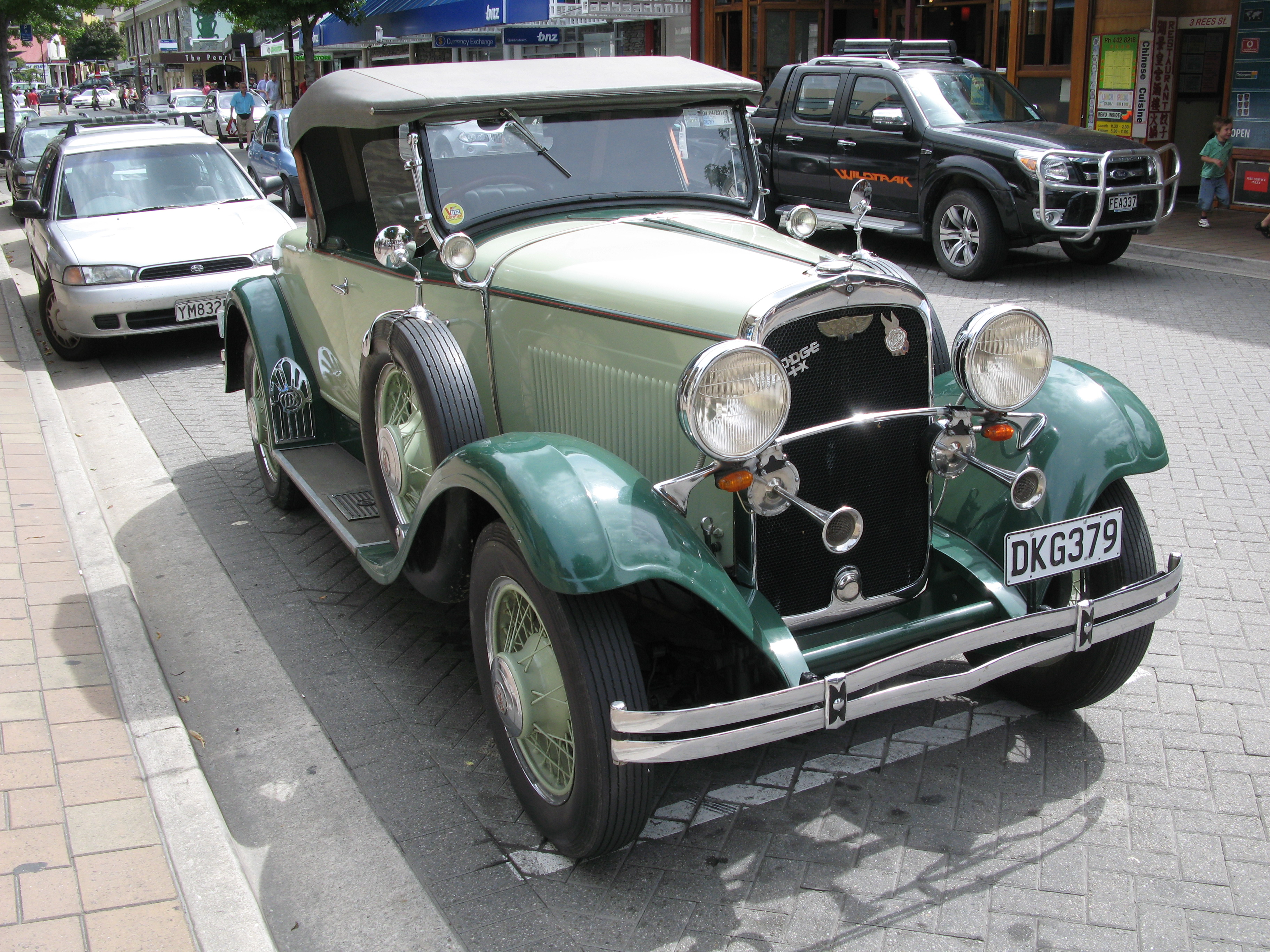
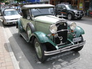 | Dodge Broters Straight Six. |
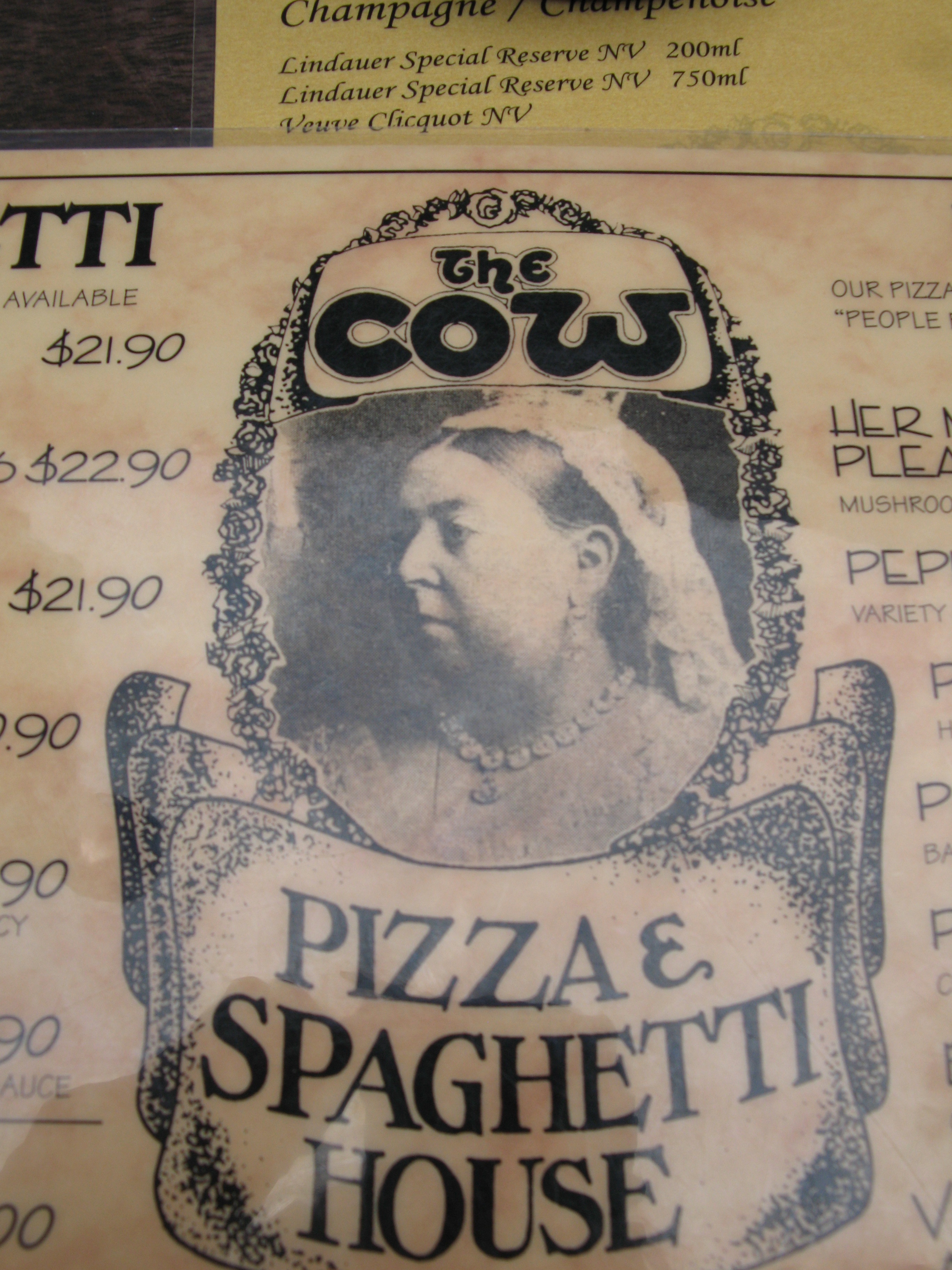
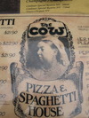 | The Cow, where I had lunch. Never really associated her with pizza before. |
 | The gondola. |
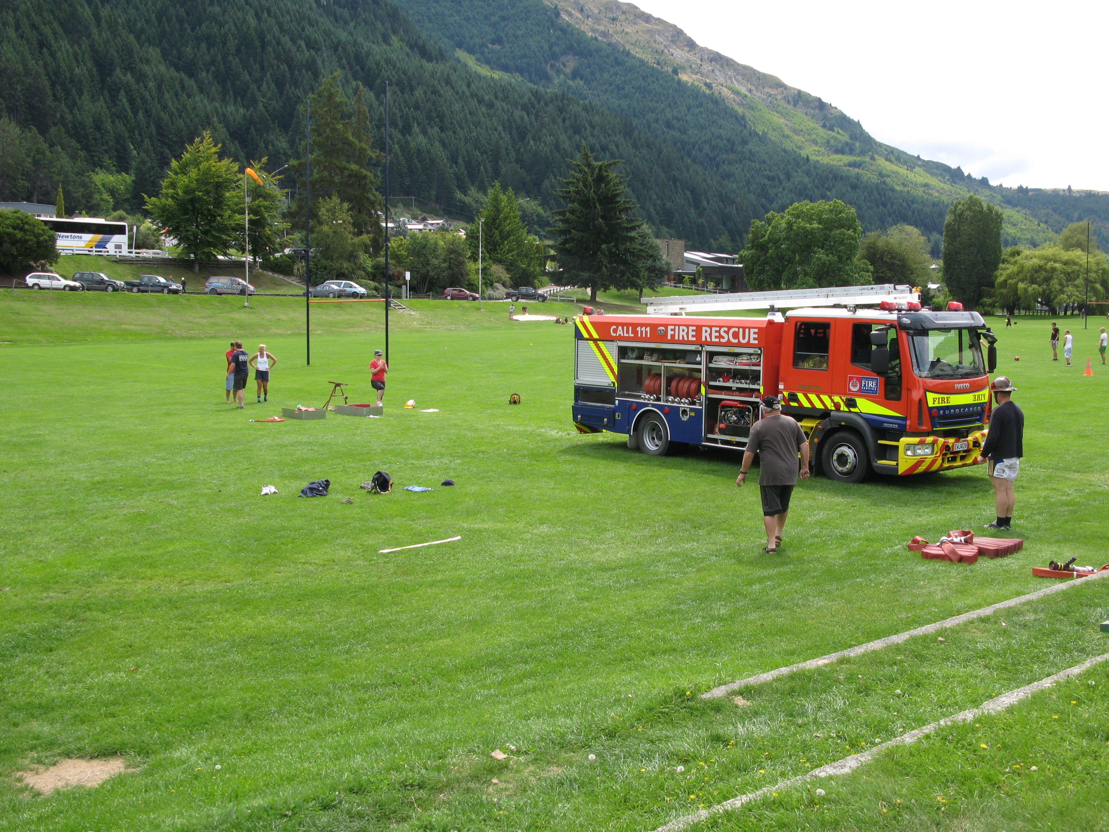
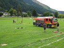 | Firefighters practising in the park. |
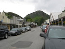
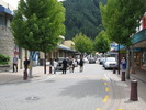 | Downtown Queenstown. |
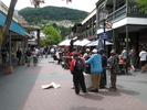 | Downtown Queenstown. |
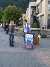
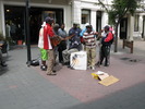 | Buskers from Vanuatu raising money. |
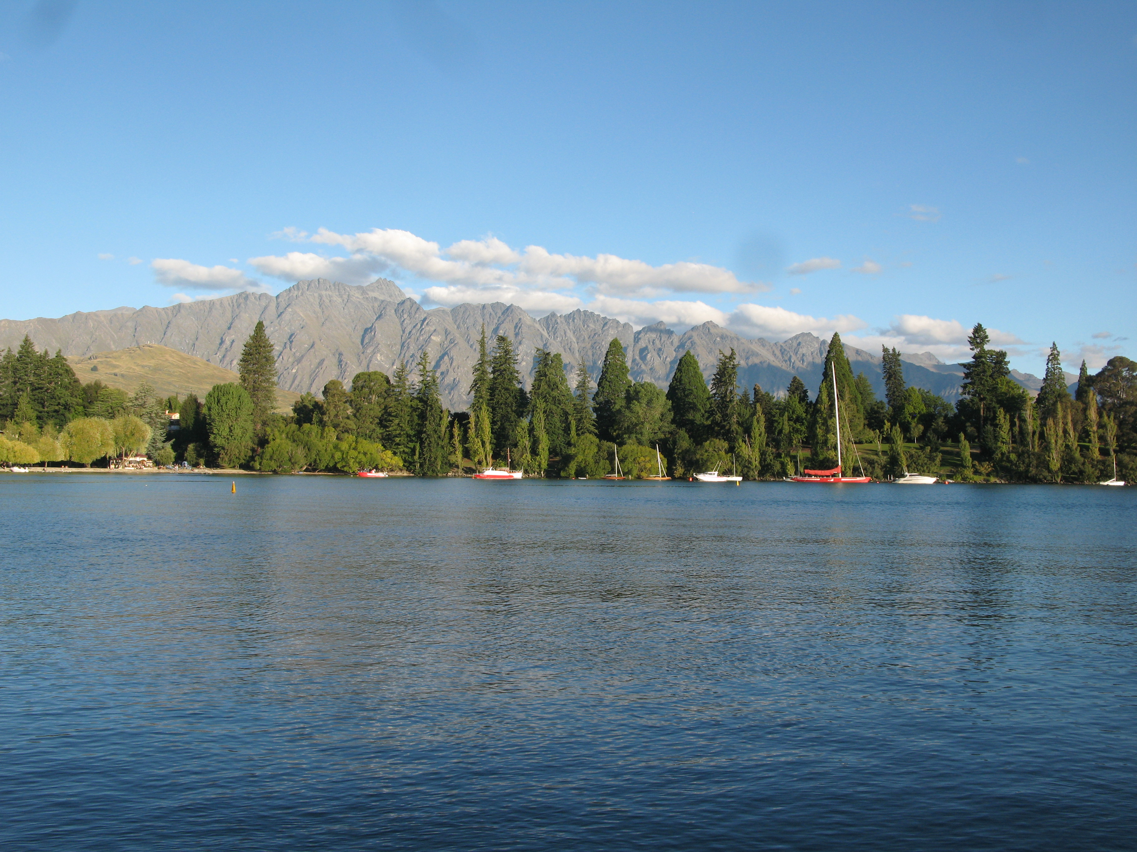
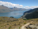
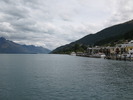 | Queenstown Bay on Lake Wakatipu. |
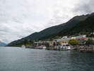 | The harbour. |
 | Lake Wakatipu. The yellow thing is a skydiver coming down on a parachute. The skies in Queenstown are full of those sorts of things. |
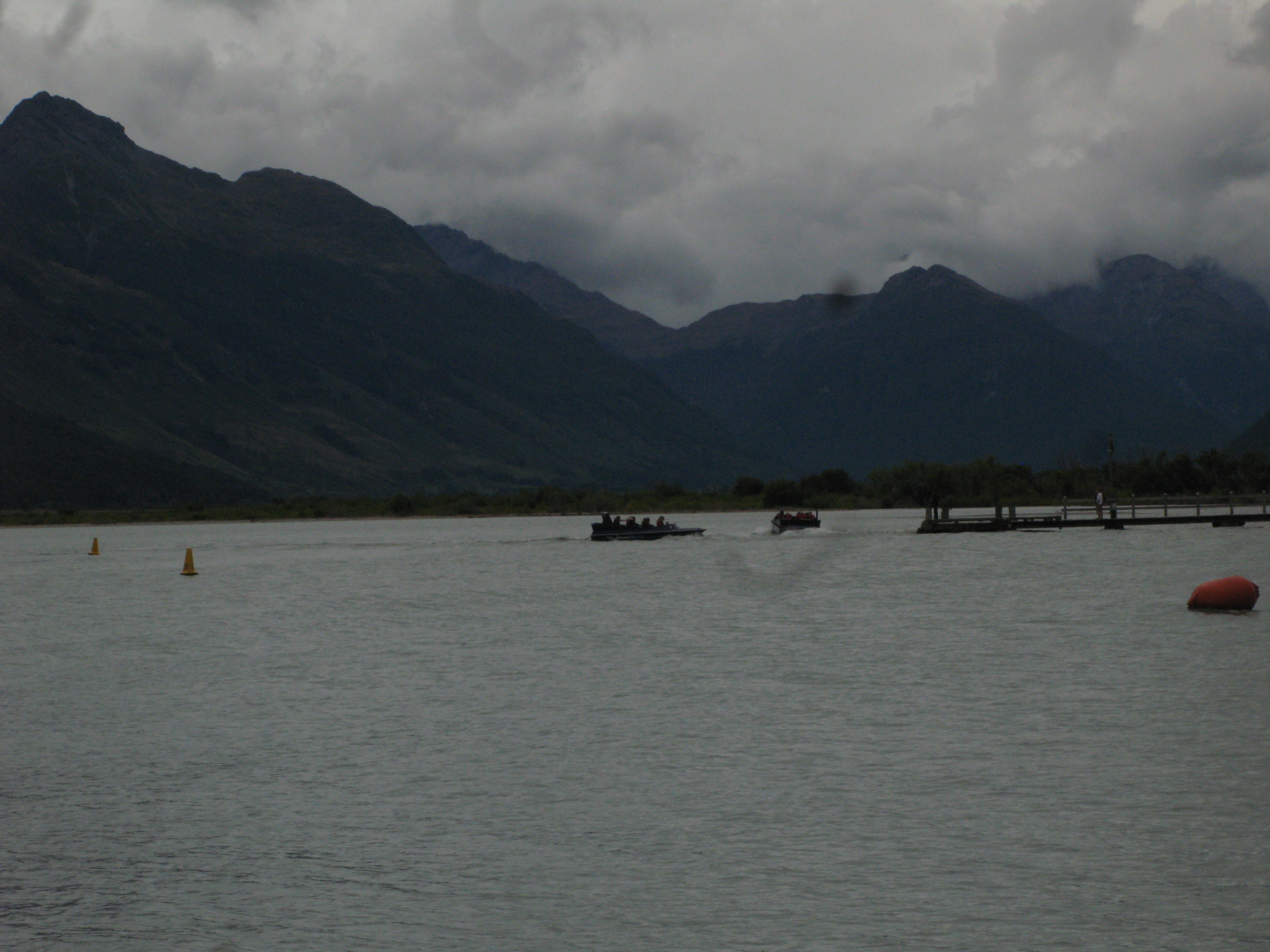
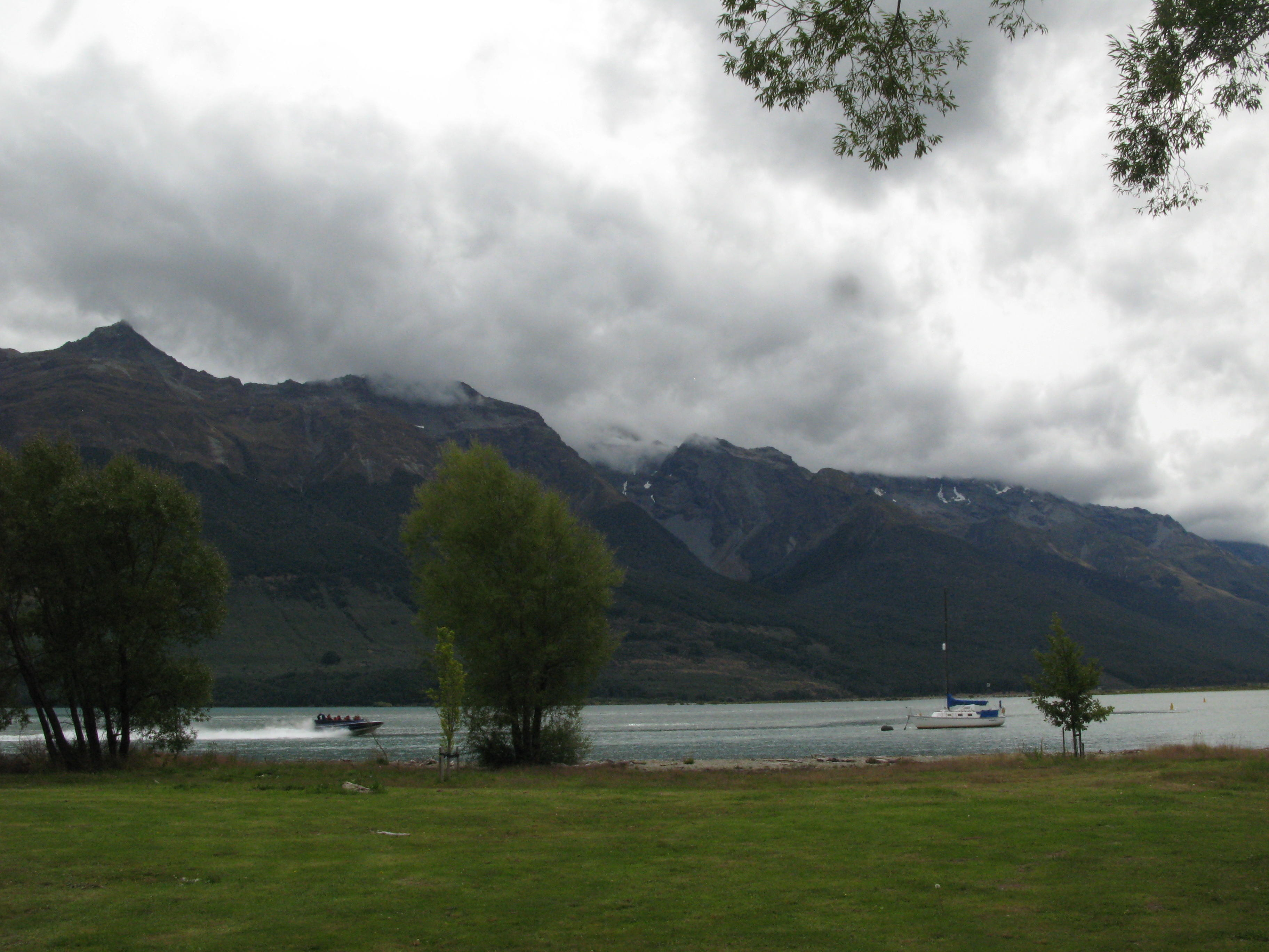
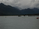 | Jetboaters at the north end of Lake Wakatipu, near Glenorchy. |
 | Jetboating on Lake Wakatipu. |
 | Jetboating on Lake Wakatipu. Passengers seem to have fun. Drivers seem to have even more fun. |
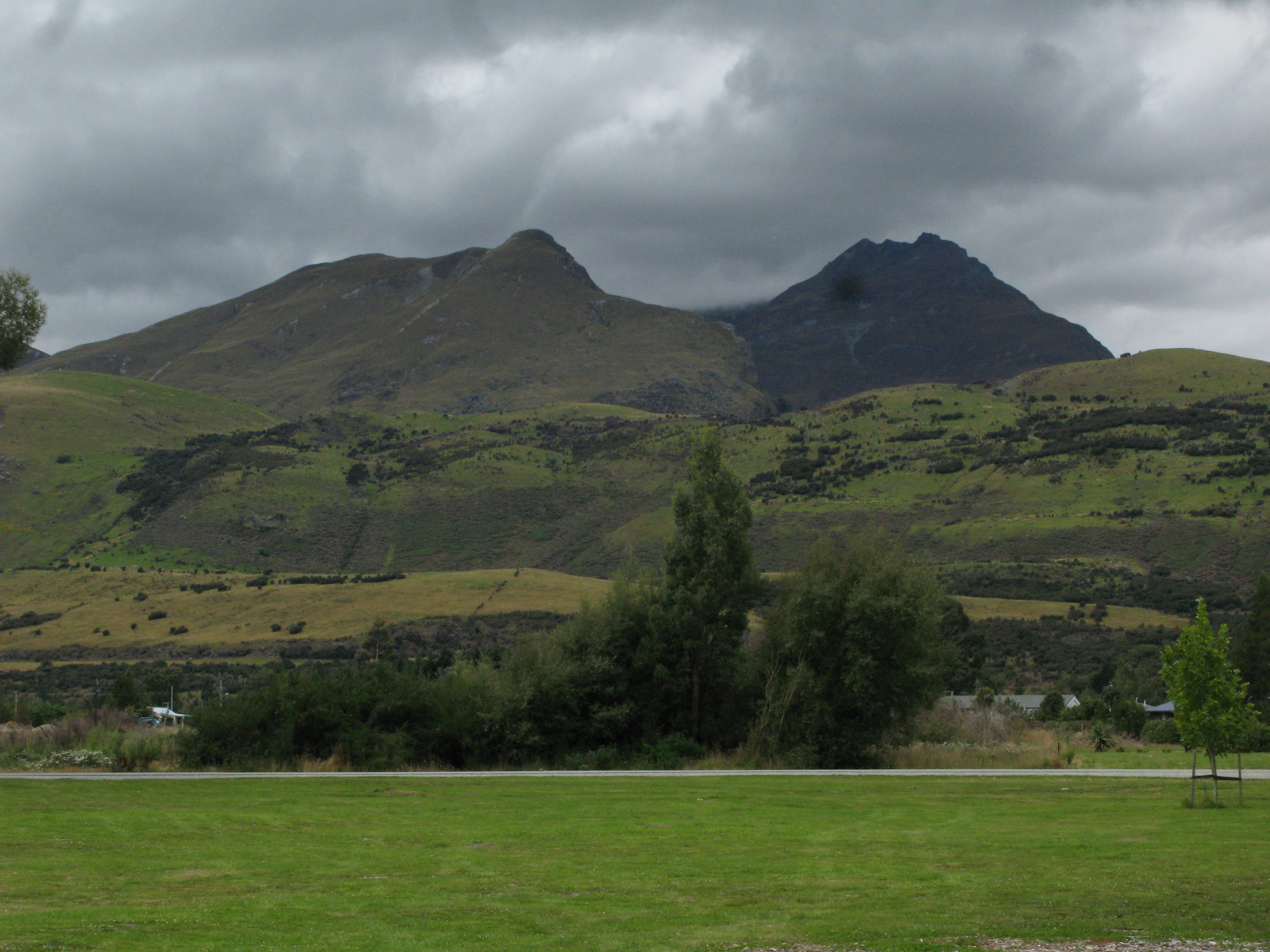
 | Hills above Glenorchy. |
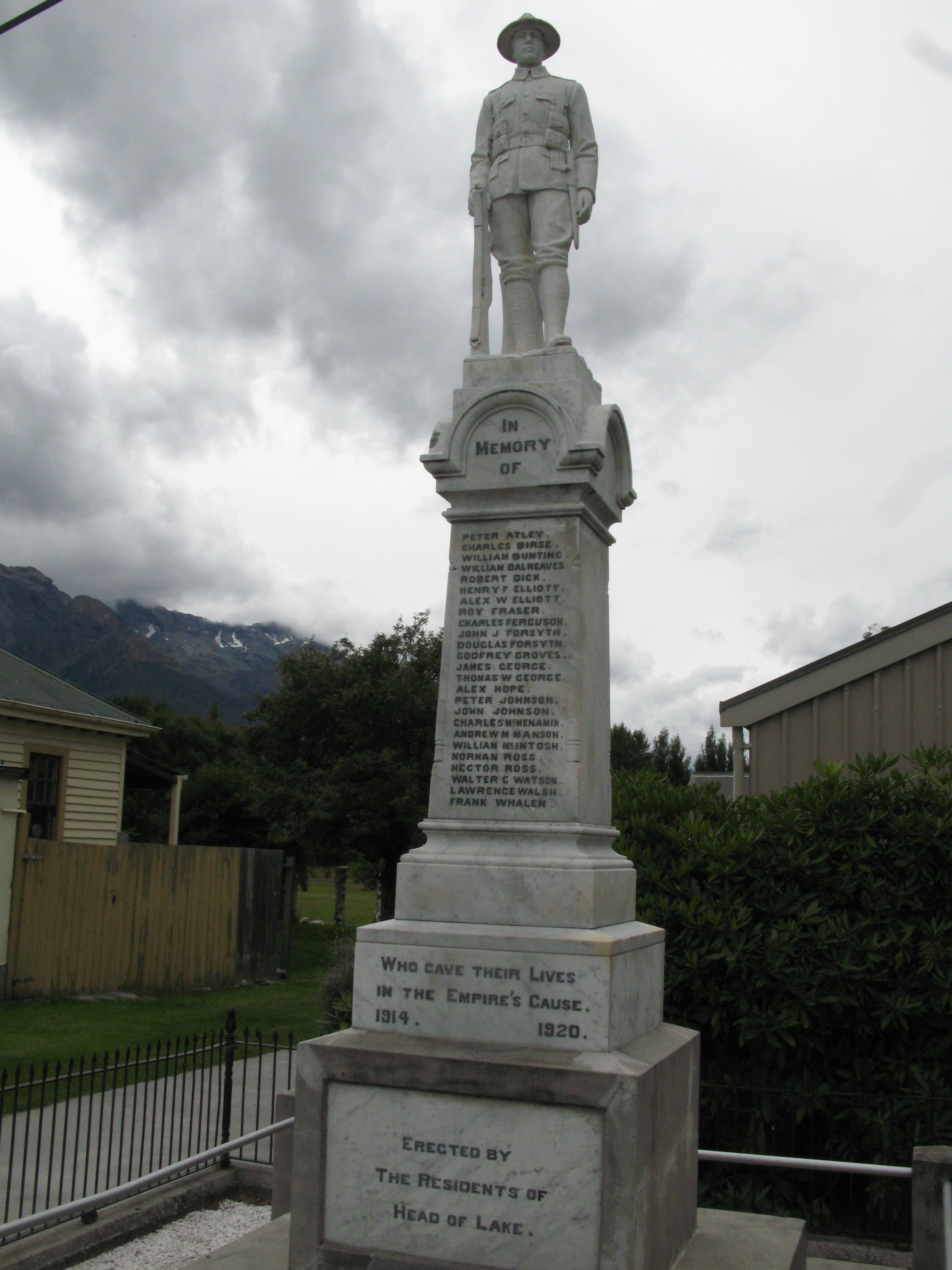
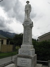 | The Glenorchy War Memorial. Two things:- Glenorchy was apparently once called "Head of Lake";
- Aparently no one got around to telling Glenorchy the war was over until 1920.
|
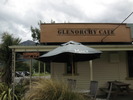 | The Glenorchy Cafe. |
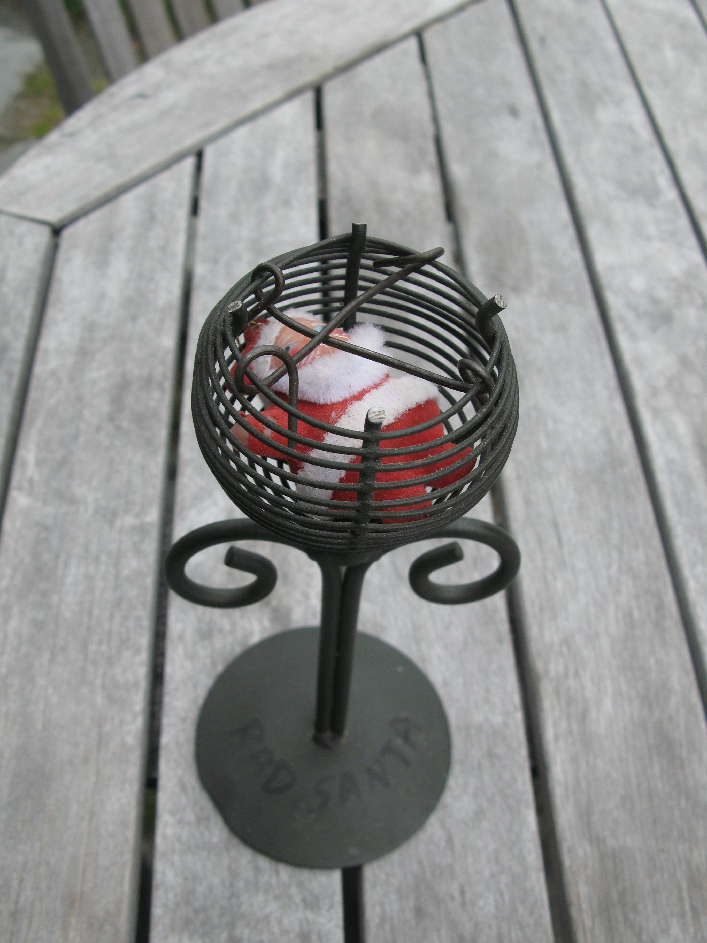
 | At the cafe, they give you a number on a stick to so they know where to bring your food. Except my number turned out to be "Bad Santa". |
 | "2 Old Pensioners on an Adventure B 4 Dementia". (They were driving exceedingly slowly, which gave me an opportunity to take this picture.) |
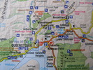 | My road atlas, showing the area around Queenstown. I had noticed the iconograph for Lord of the Rings locations, but I just noticed there's also an iconograph for bungy jumping. |
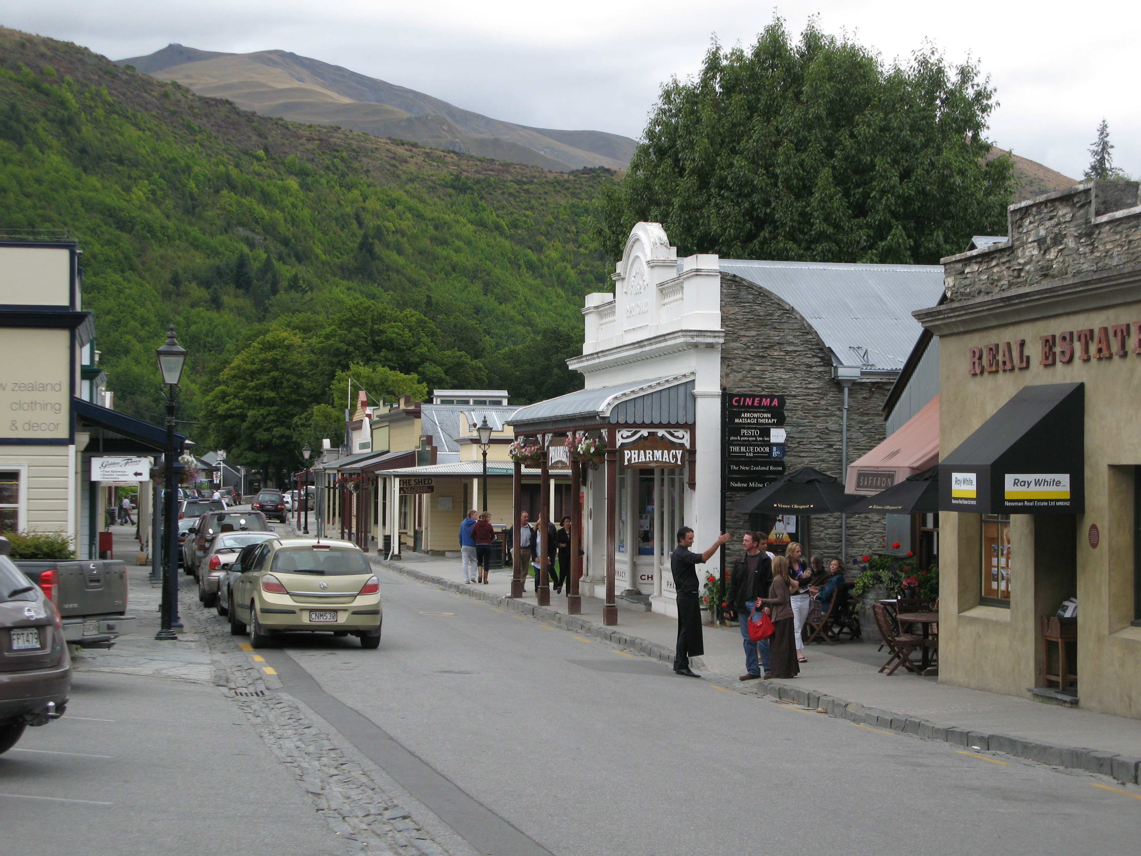
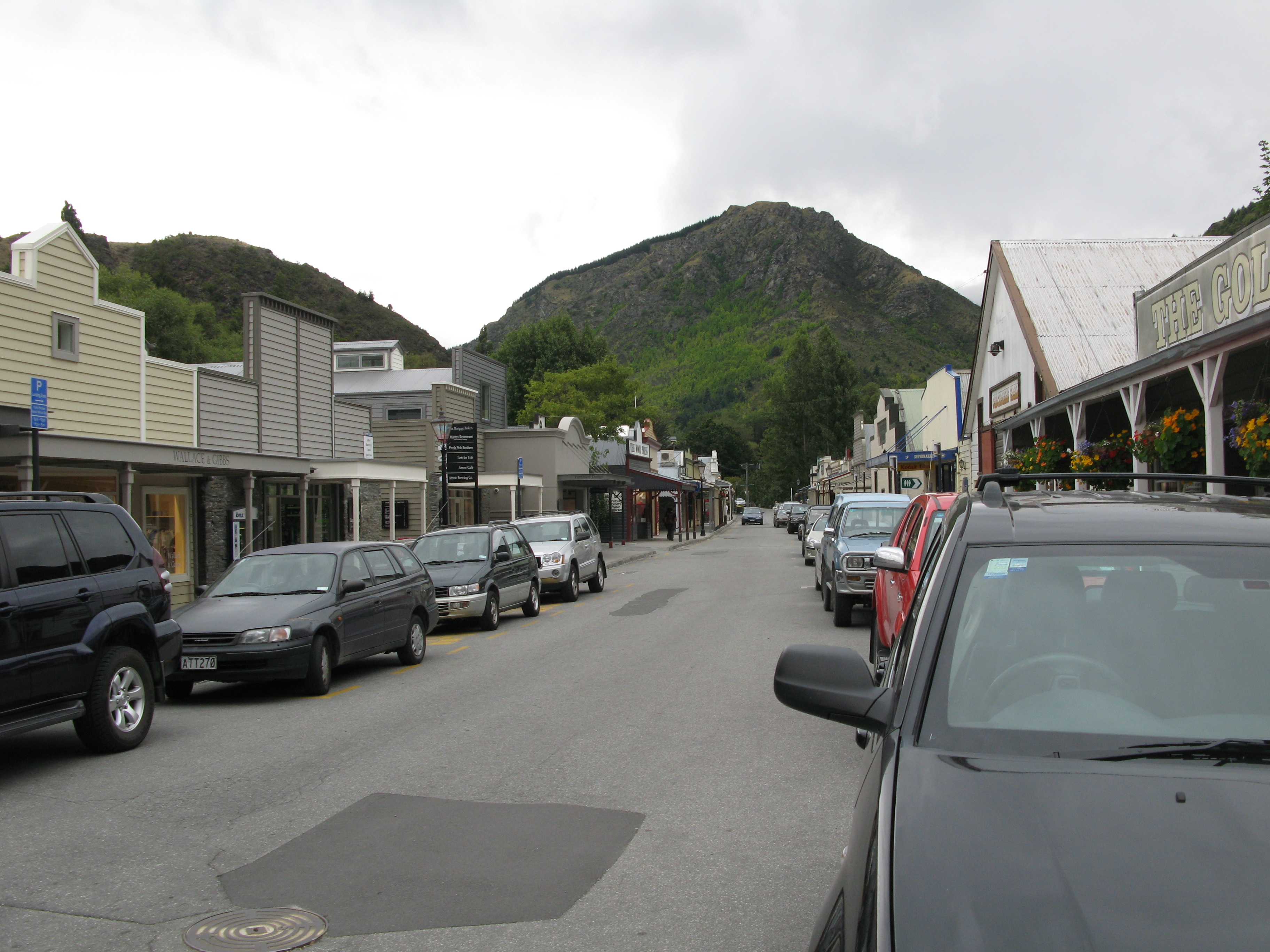
 | Arrowtown. Old-timey. |
 | Arrowtown. Old-timey. |
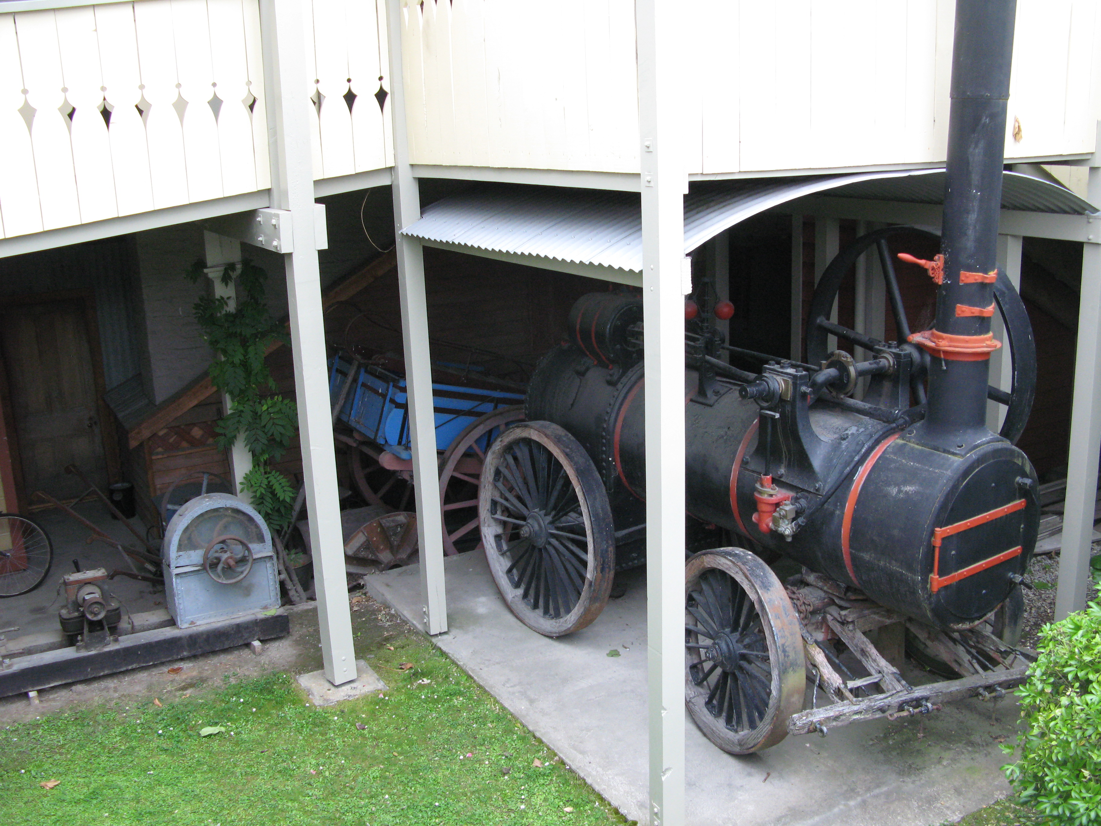
 | Random old-timey stuff (for all your old-timey picture taking needs). |
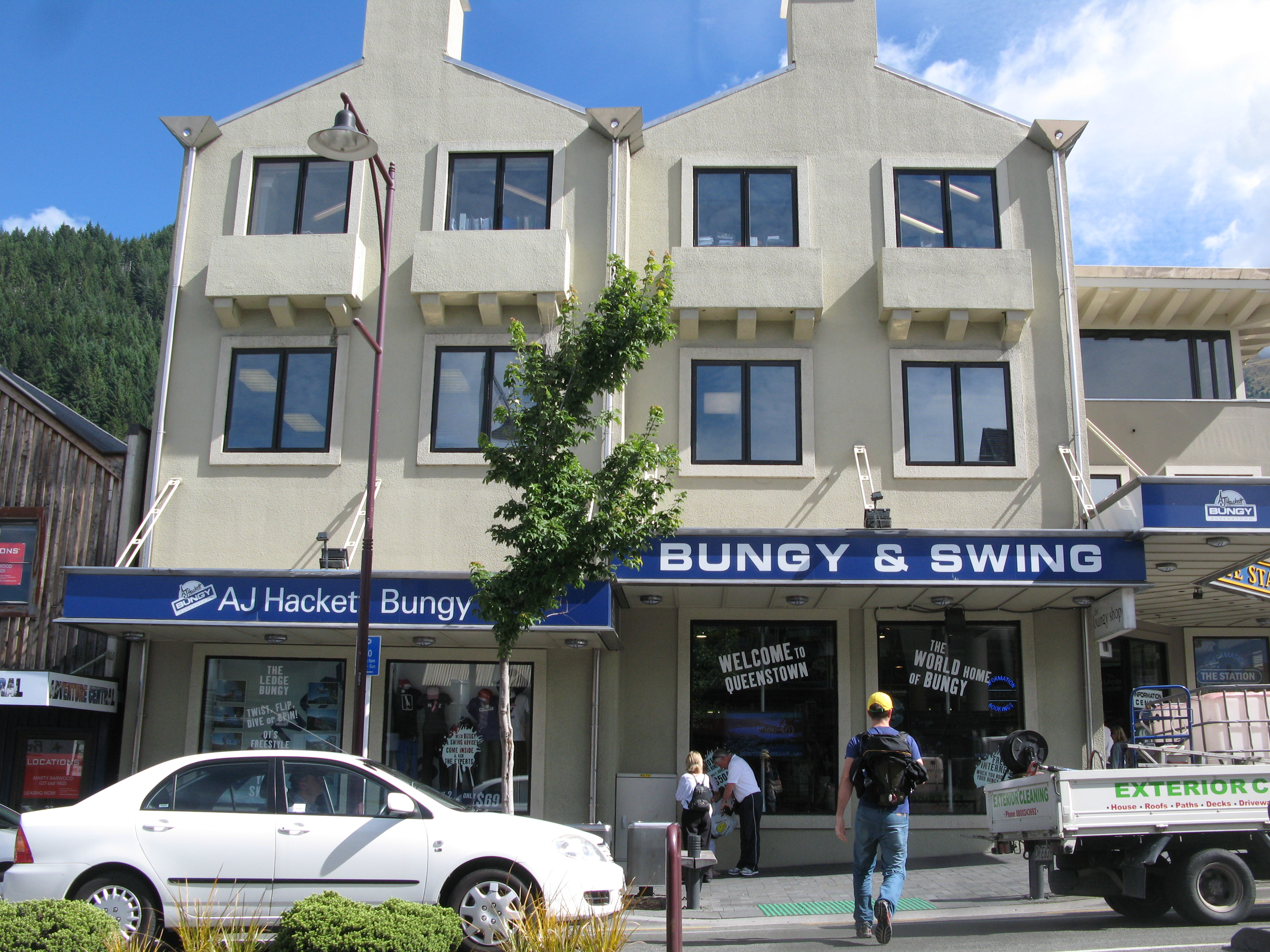
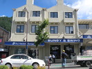 | AJ Hackett didn't invent bungy jumping, but he certainly turned it into the phenomenon it is today. And all from Queenstown. |
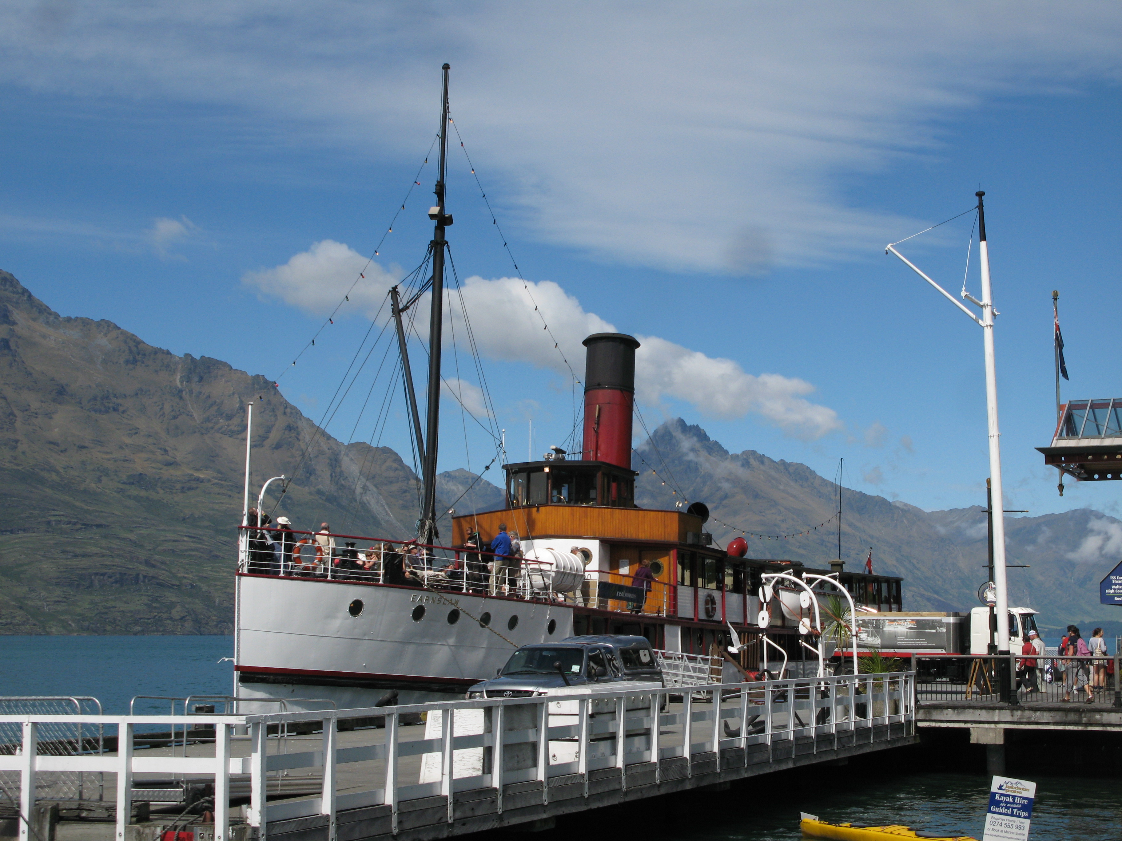
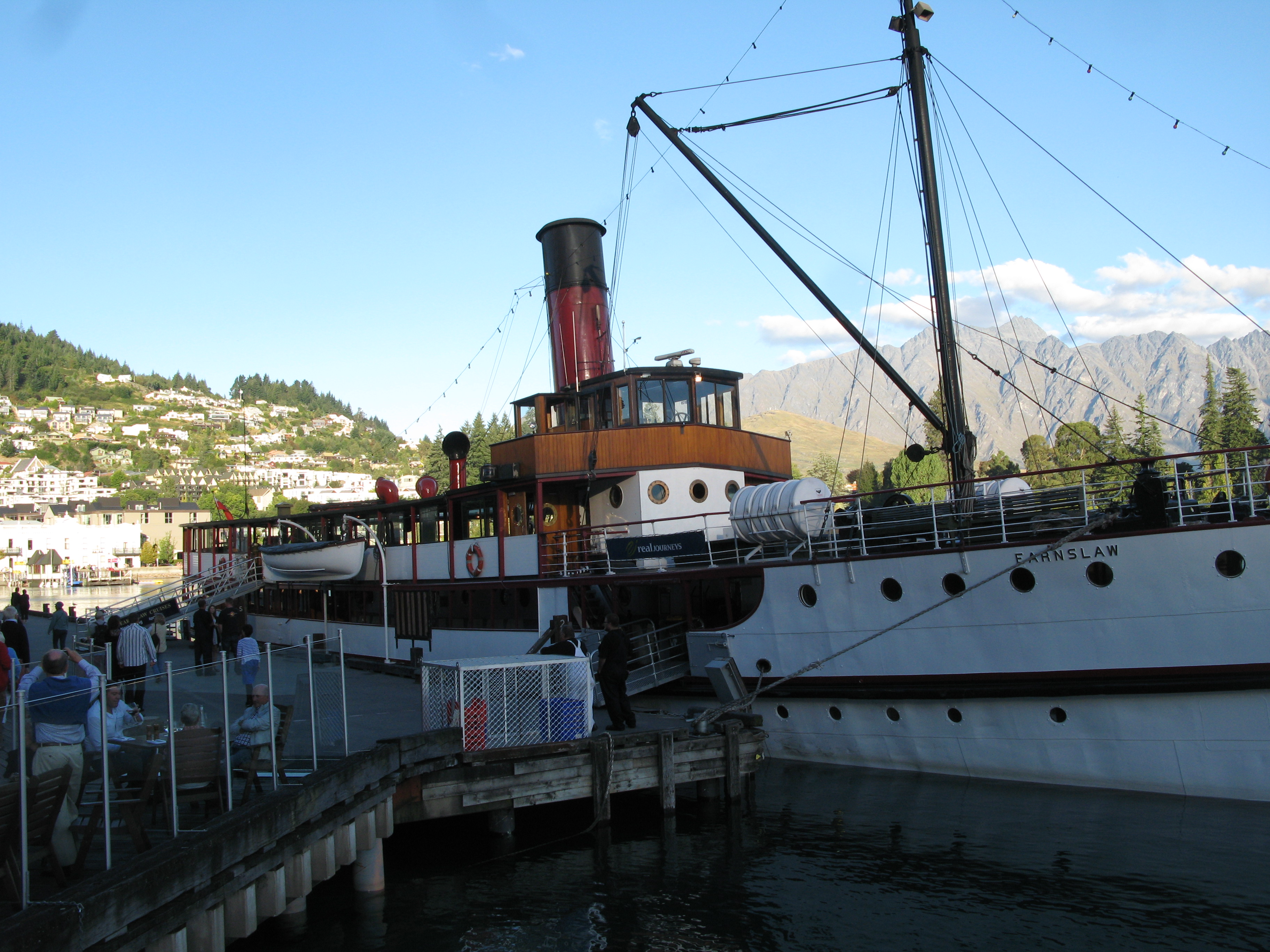
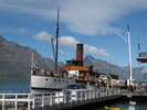 | TSS Earnslaw, a steamer than runs up and down the lake. |
 | The hills outside by room at Arthur's Point, again; this time with fewer ominous looking clouds. |
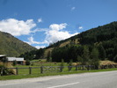 | Farming near Arthur's Point. |
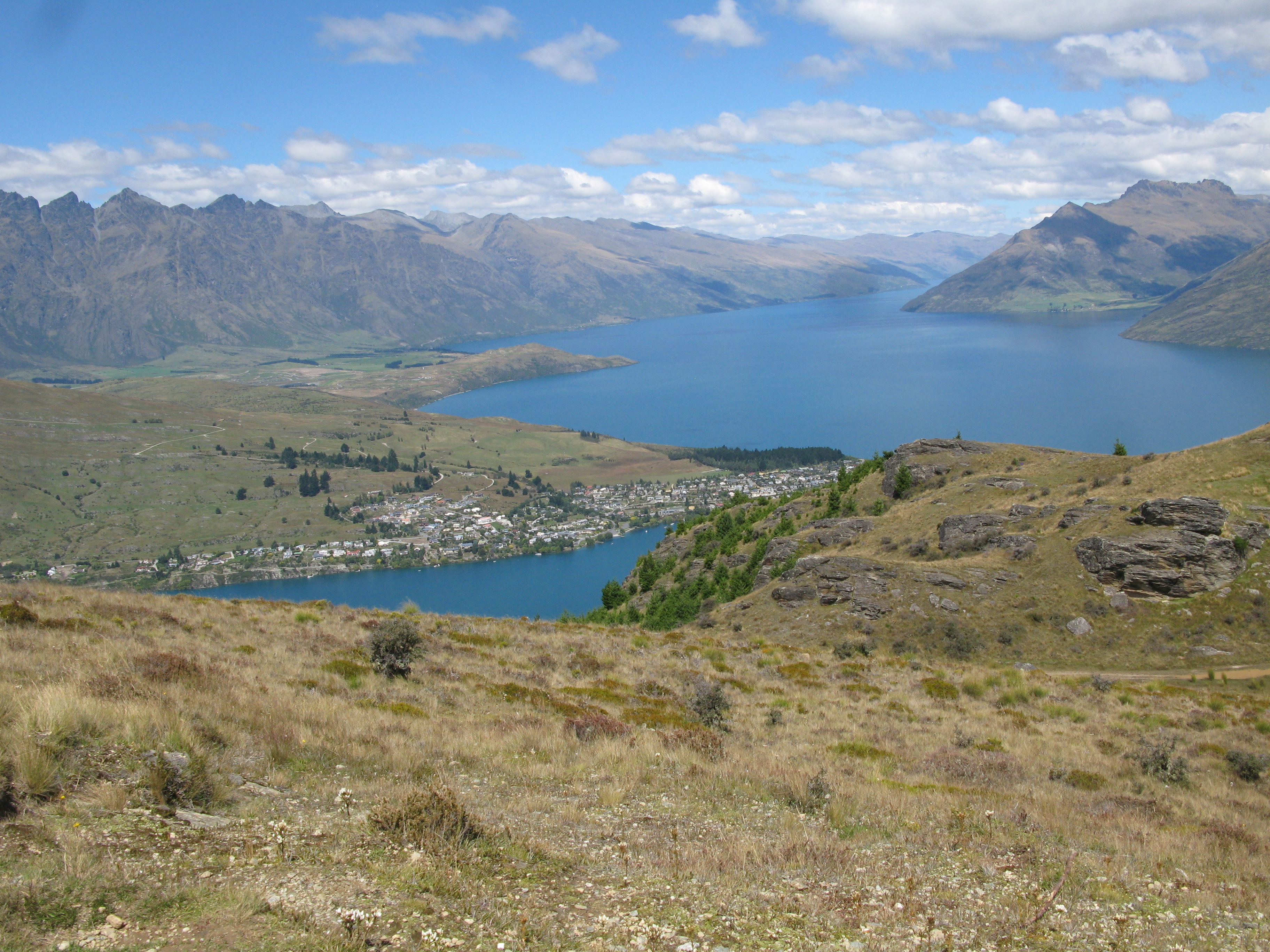
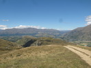
 | Up above Queenstown. |
 | Also, Frankton. |
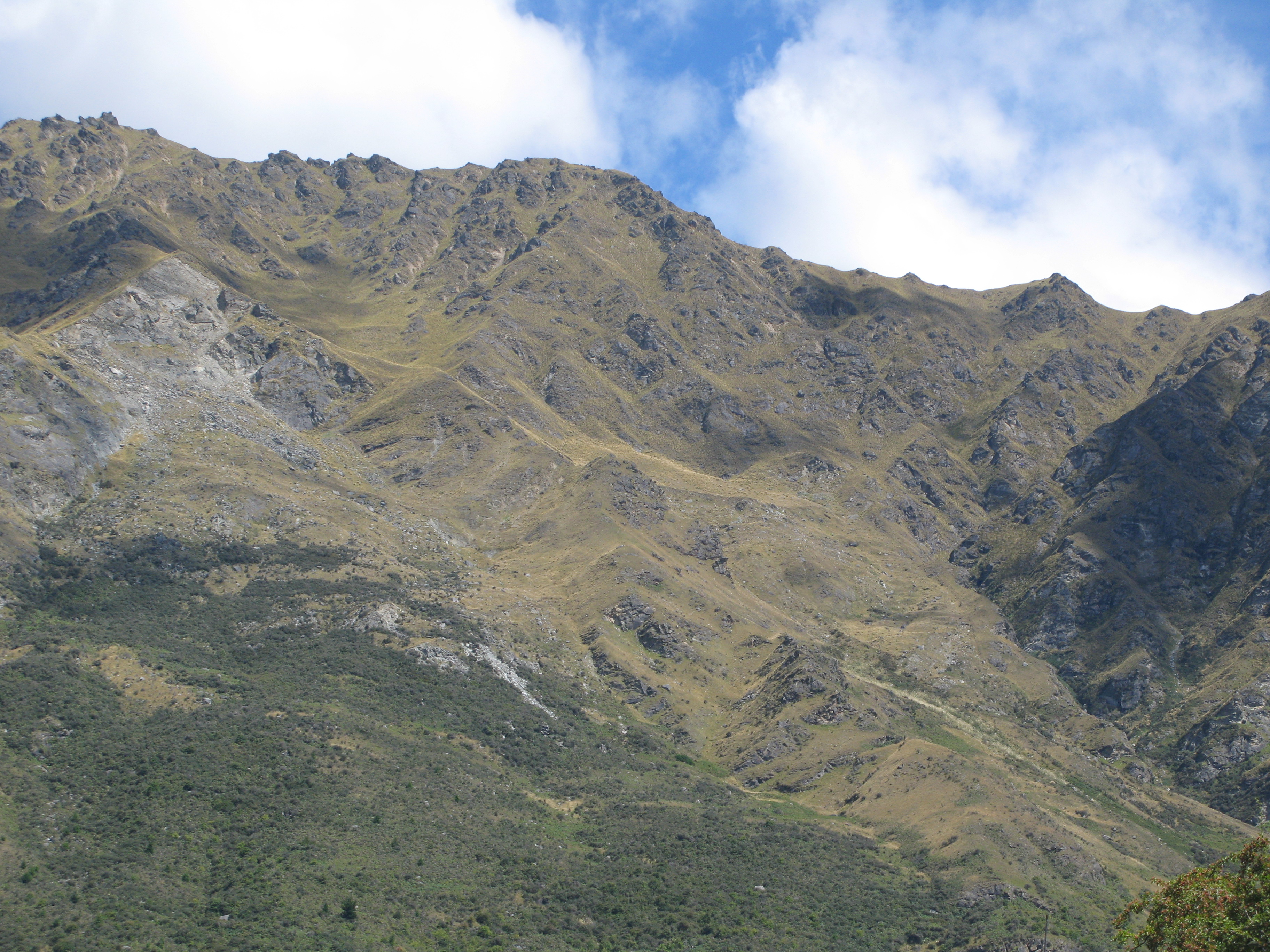
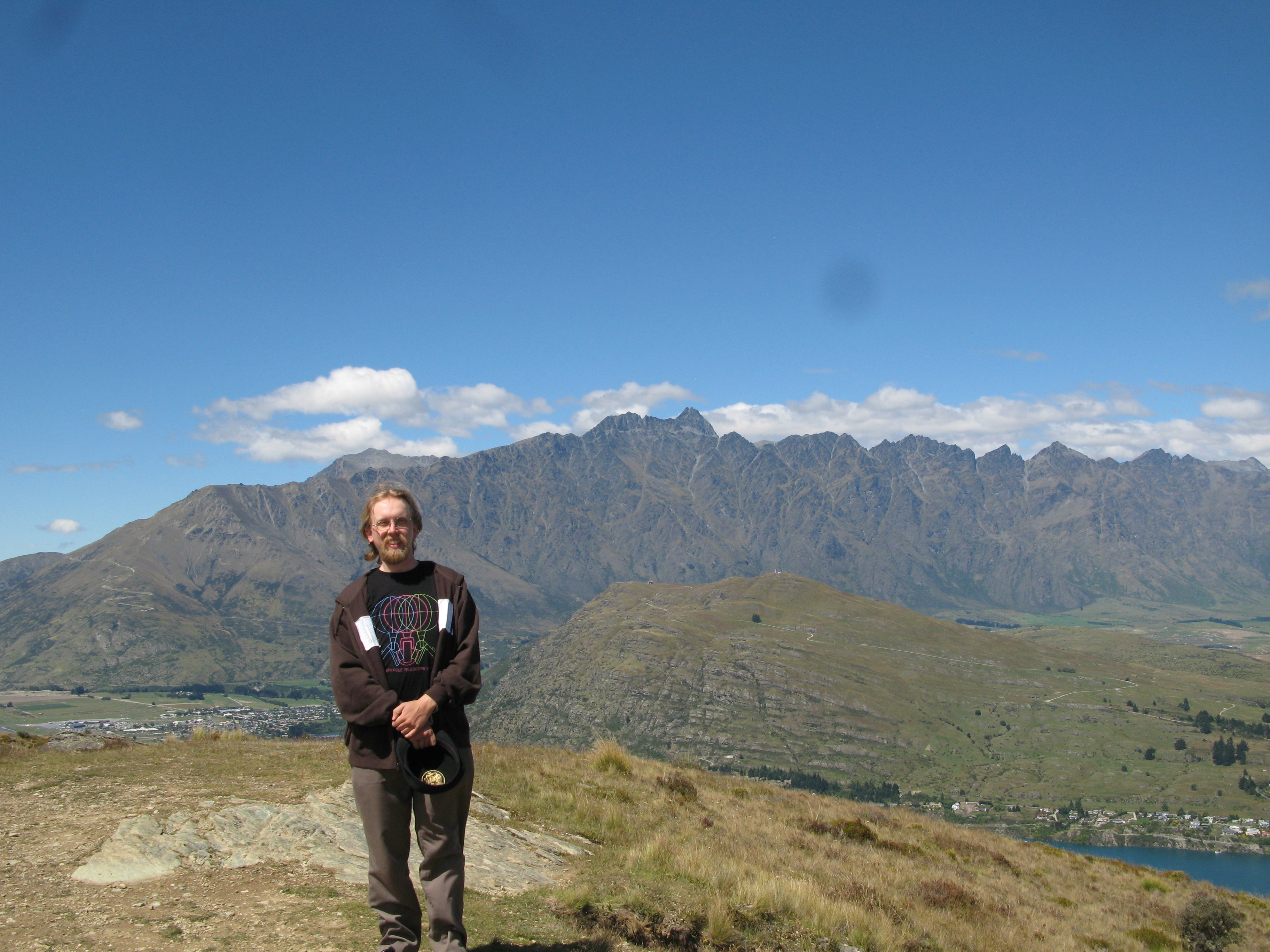
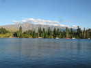
 | Me with the Remarkables in the background. If they look familiar, that's because they were used as the mountains in the Lord of the Rings. (The hill in front also stood in for large swathes of Rohan). |
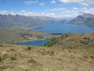
 | Farmland to the east of Queenstown. |
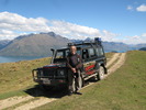 | Me, again, with the Land Rover. |
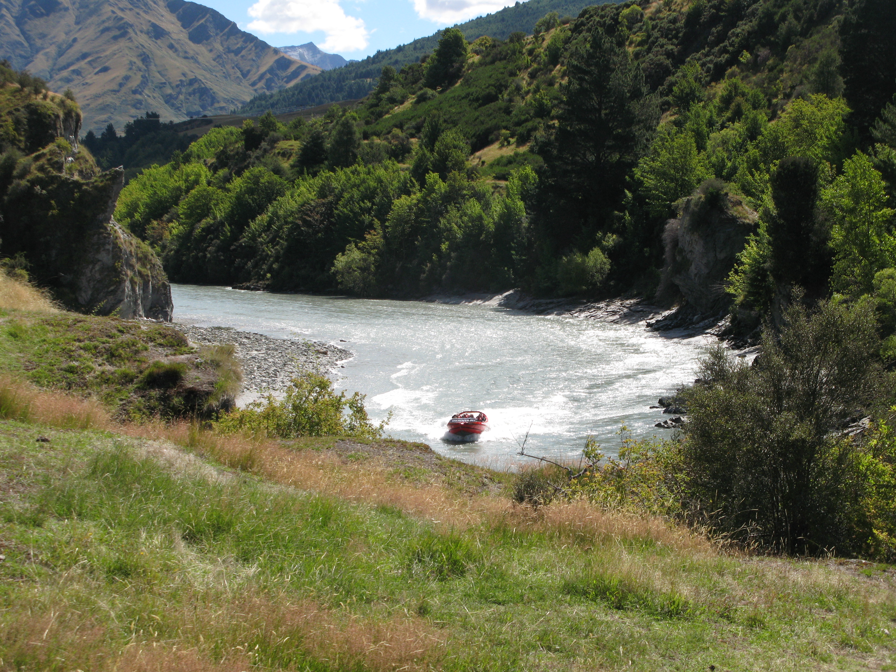
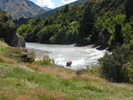 | Jetboating in the Gorge on the Shotover River. |
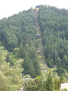
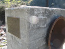 | The Arrow Gorge irrigation scheme. Water from the Arrow River was transported down to irrigate the farms in the valley below. The aqueduct is still in use. |
 | On top of the Arrow Gorge Aqueduct, built 1920. The vertical pipe is an air vent, necessitated by the syphoning of the water through a dip upstream. The rocks around the pipe are tailings from gold rush times. |
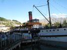 | TSS Earnslaw in port. |
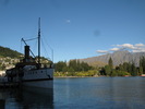 | TSS Earnslaw with the Remarkables behind. |
 | Evening sun on the Remarkables. |
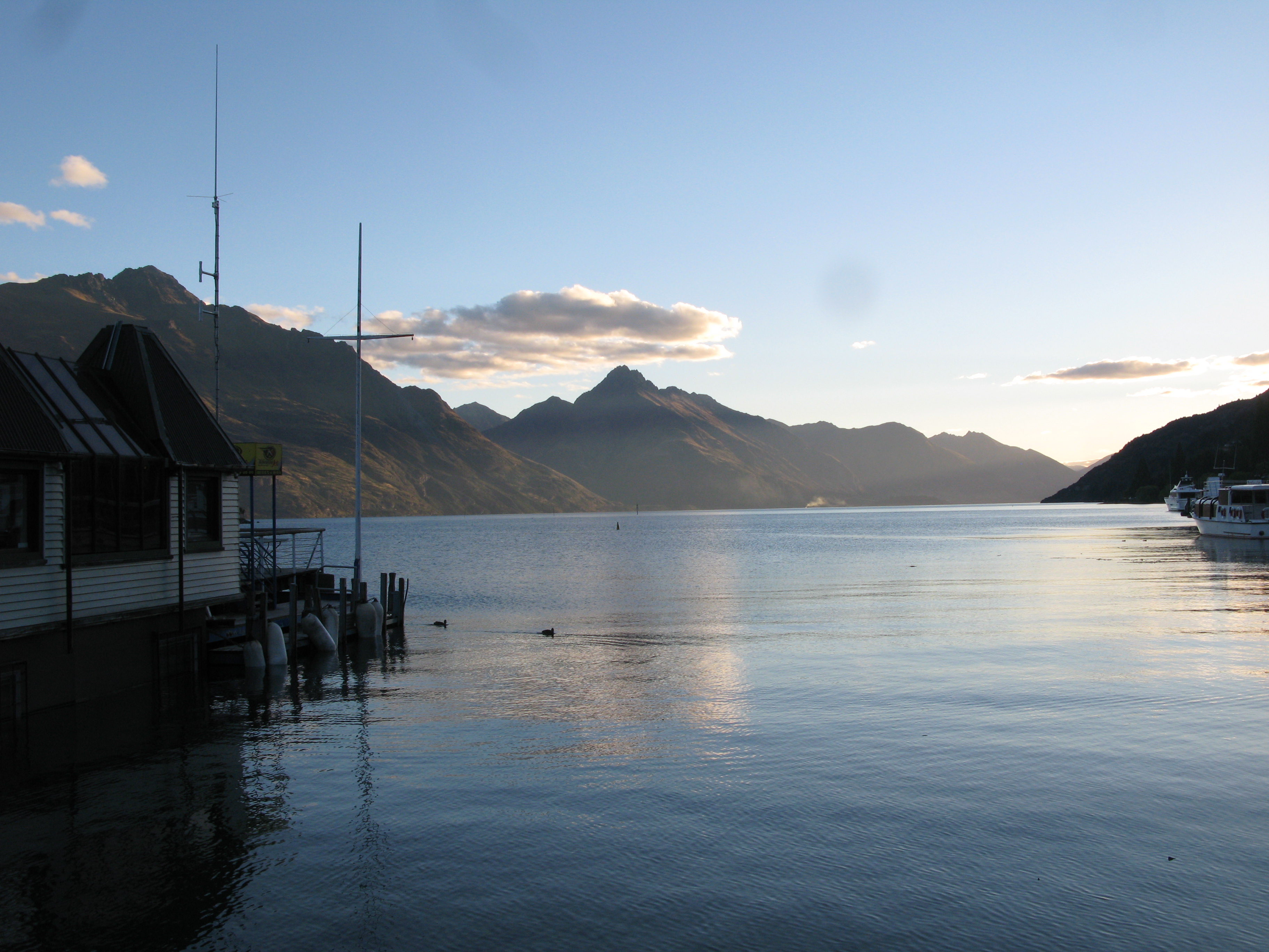
 | Sunset over the harbour. |
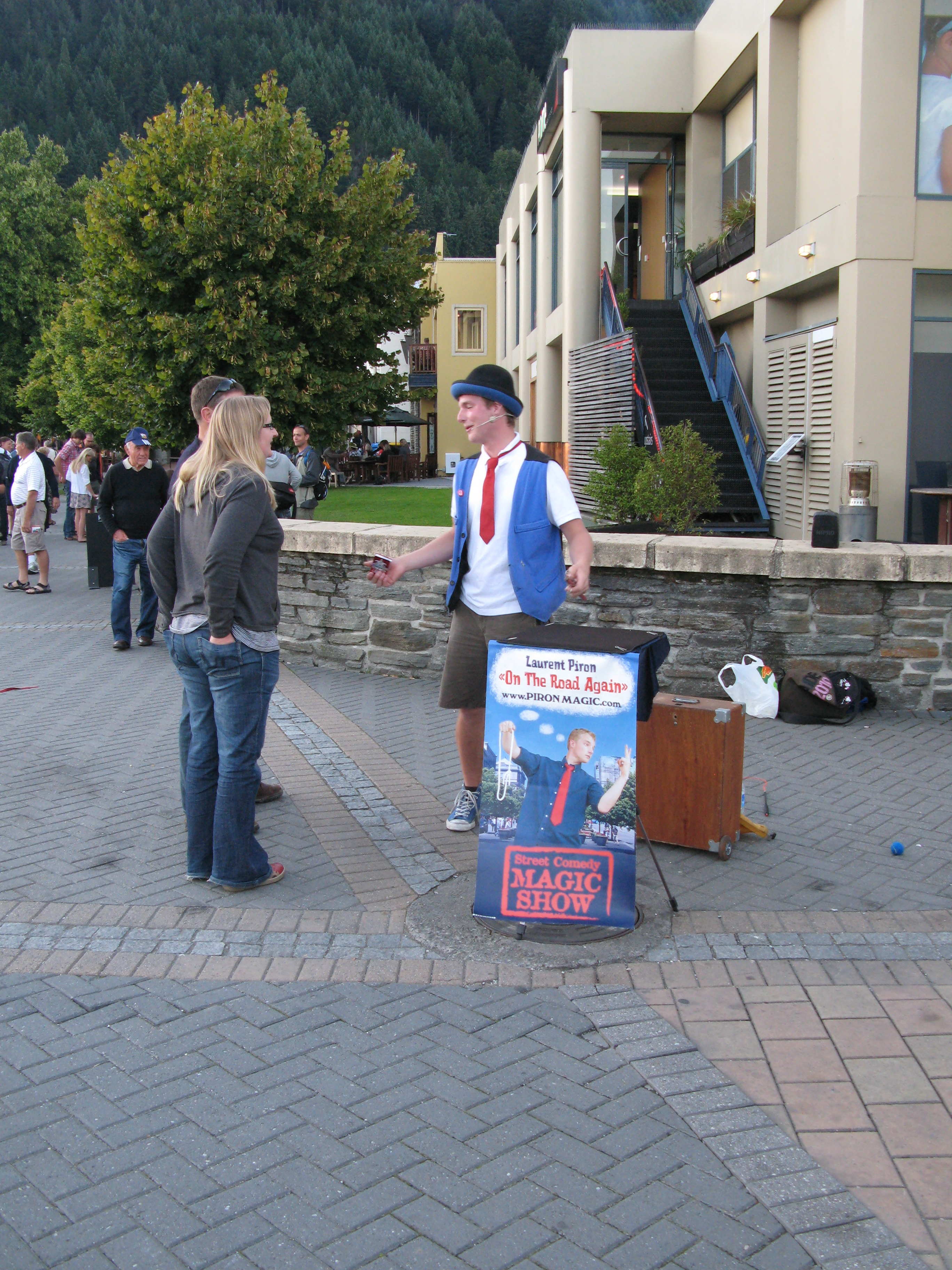
 | Laurent Piron, a travelling Belgian magician, who gave a very entertaining show for us. |