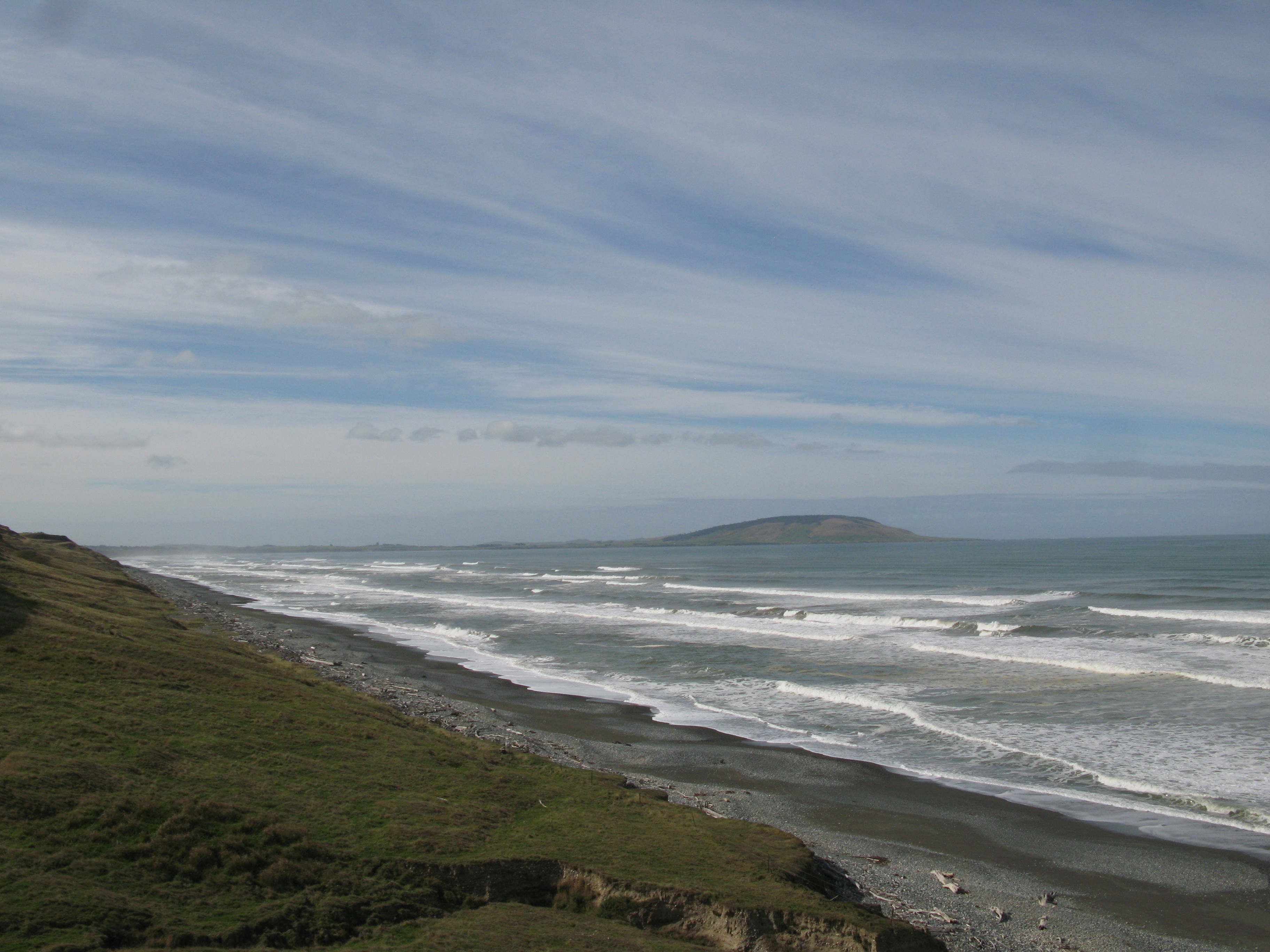


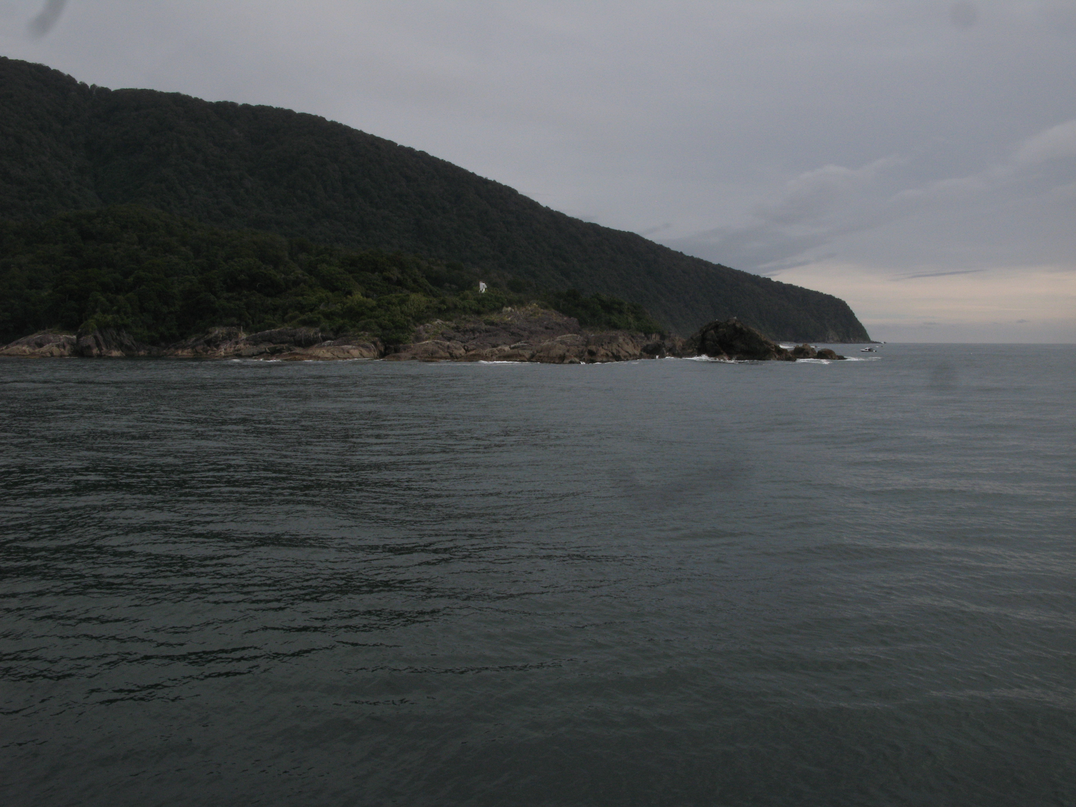


| Looking southeast across Te Waewae Bay towards Pahia Hill. |
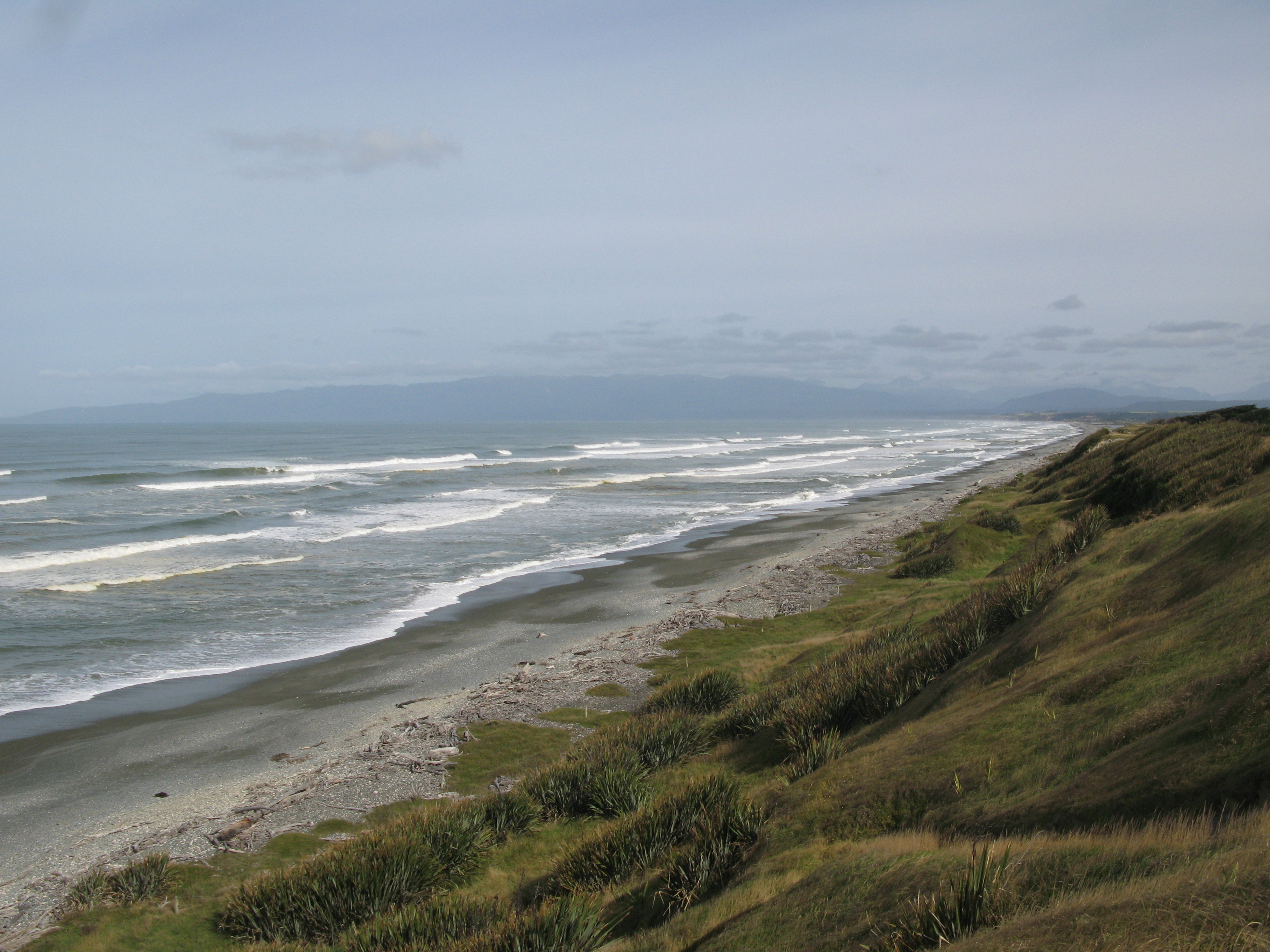
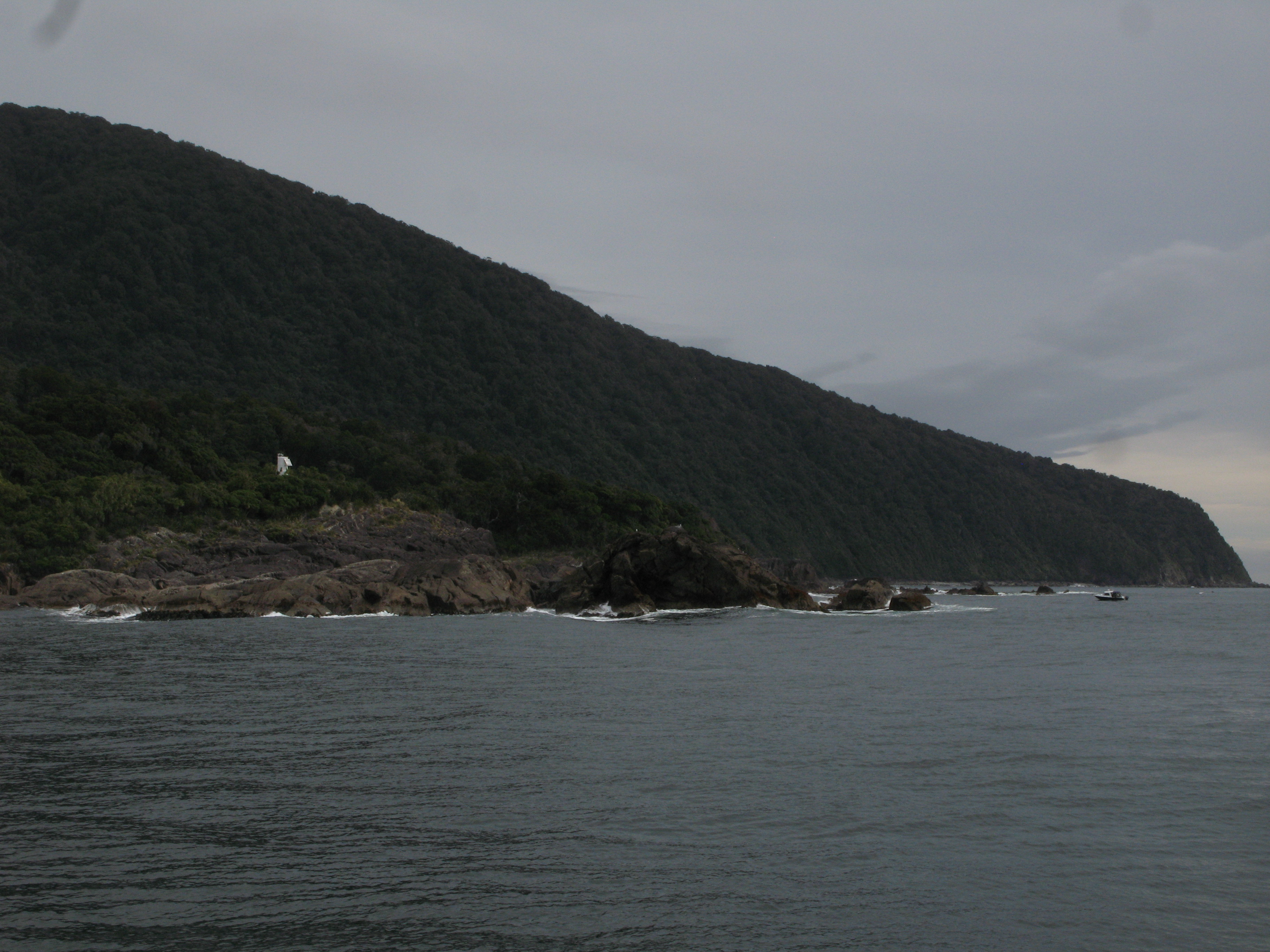
| Looking northwest across Te Waewae Bay. In the distance is the Tuatapere Hump Ridge, the southeastern edge of the Fiordland National Park. |
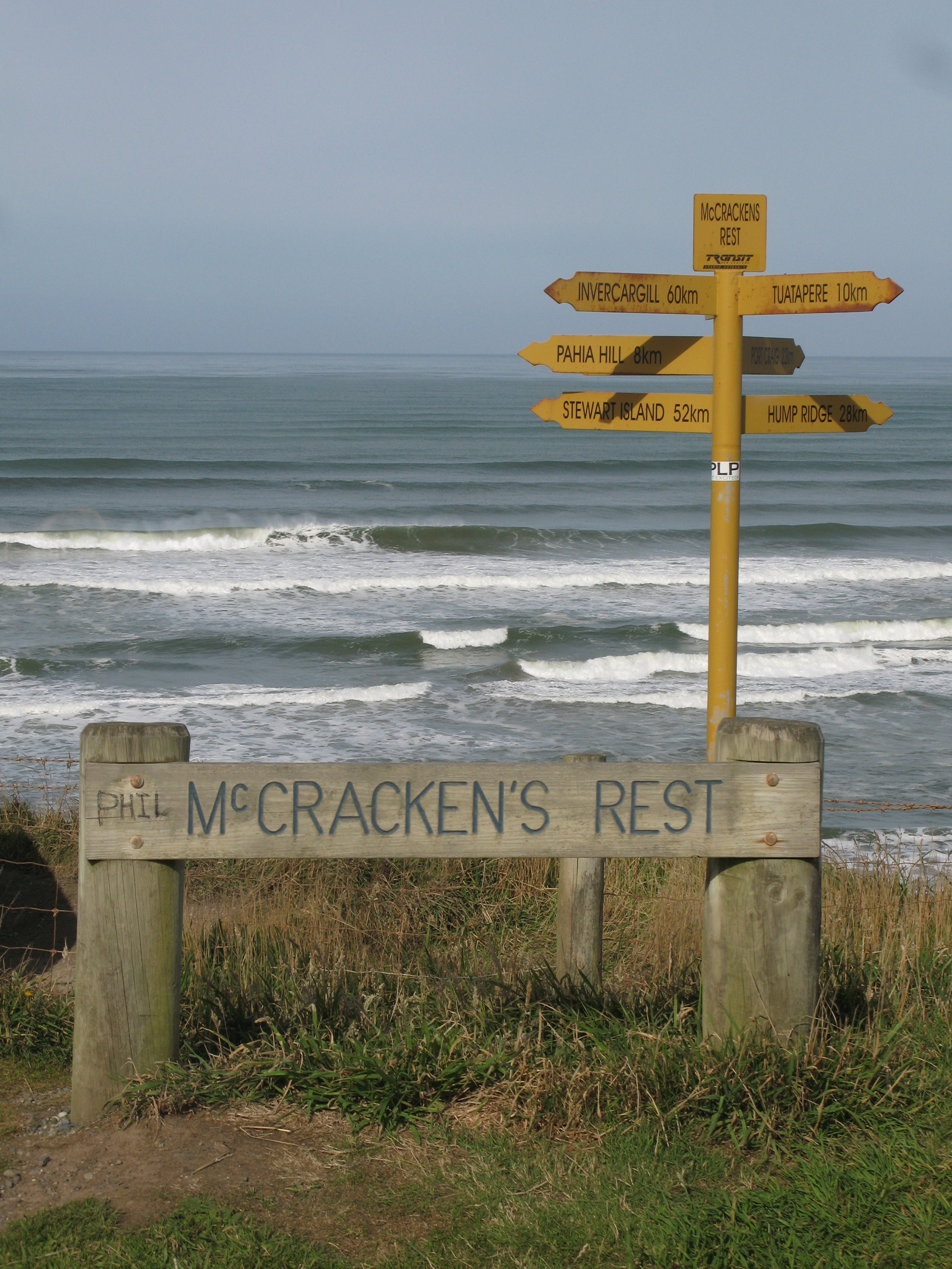
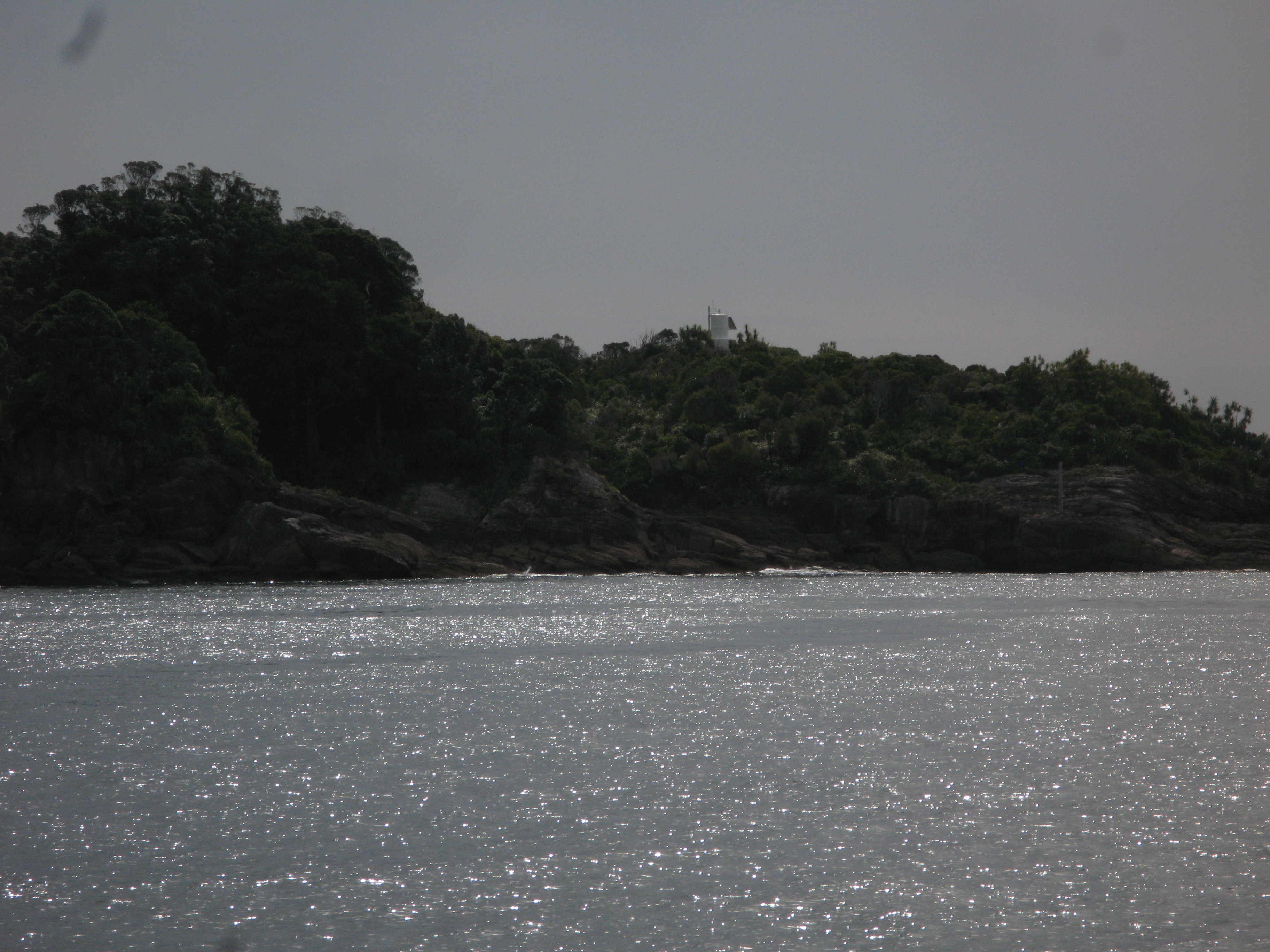
| McCracken's Rest on Te Waewae Bay. |
| Waiting for traffic at the Homer Tunnel. The tunnel was put through in the 1930s when the road was built. It has a 1930s air about it: it's very small, so narrow in fact that they have traffic lights at either end which automatically select one direction of traffic to travel through the tunnel at a time. (The claim is that these are the highest altitude traffic lights). If you met a bus coming the other way, you'd have issues (mostly because the bus would insist that the only part of the tunnel that's tall enough is right down the middle), but two cars could pass each other if they were careful about it. Additionally, the tunnel is just an unfinished hole in the rock (unlit, too). It also has a very steep grade. Finally, the pavement status of the road in the tunnel is: "yeah, that's probably close enough". It's smooth enough you won't lose your suspension, but it's sufficiently uneven that my CD player complained vociferously for the tunnel's entire lenght. |
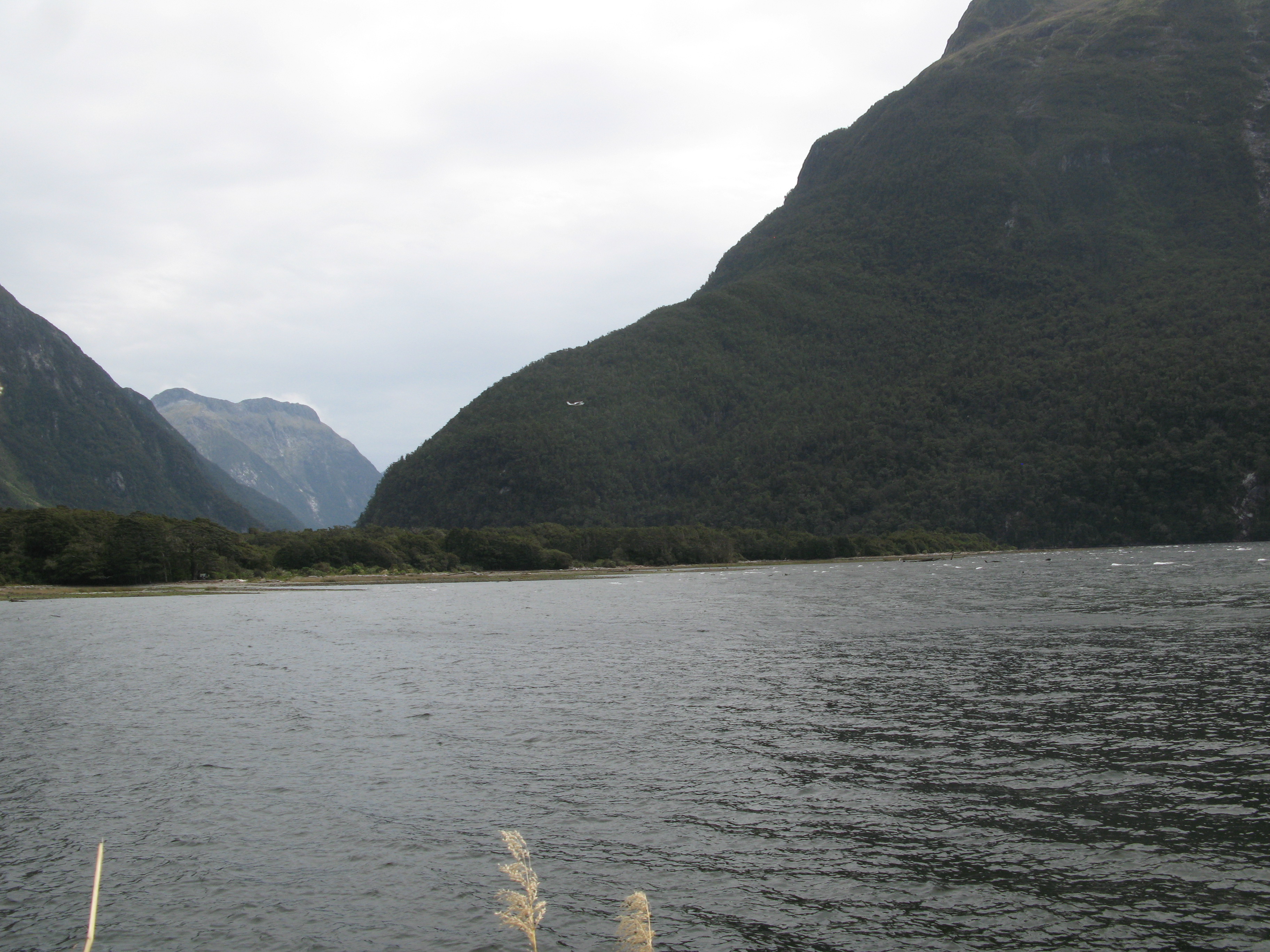
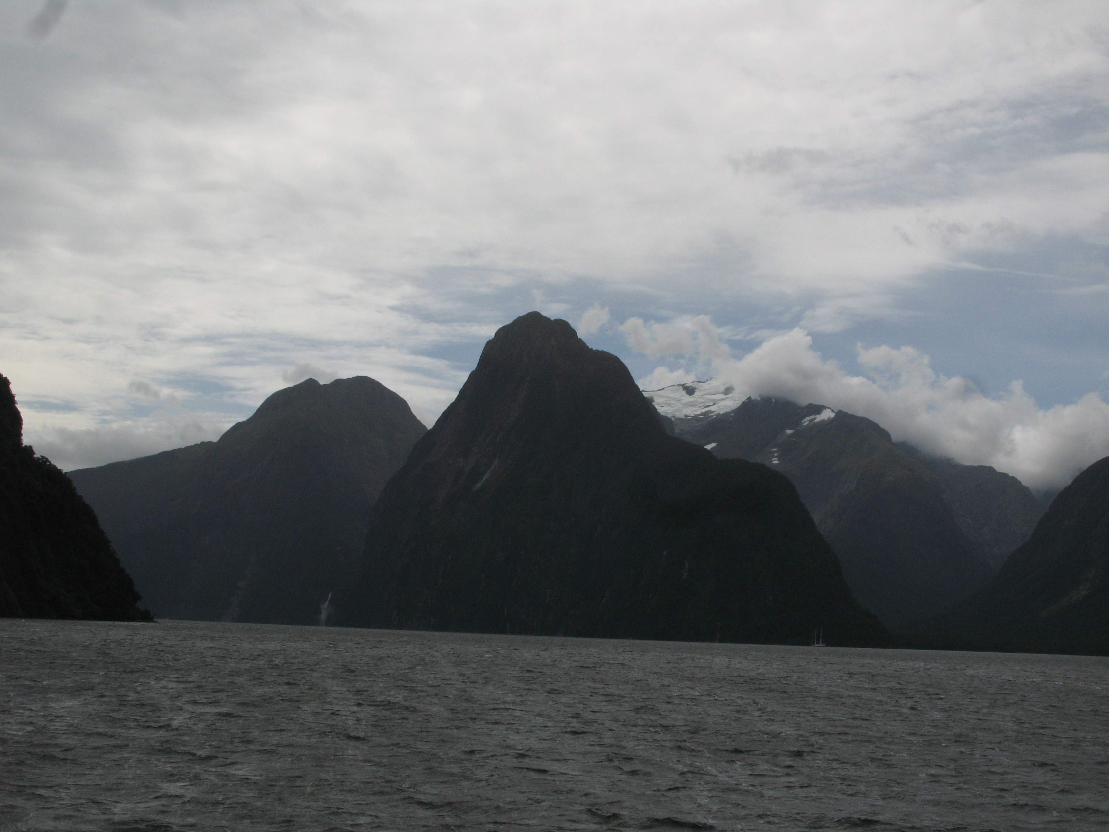
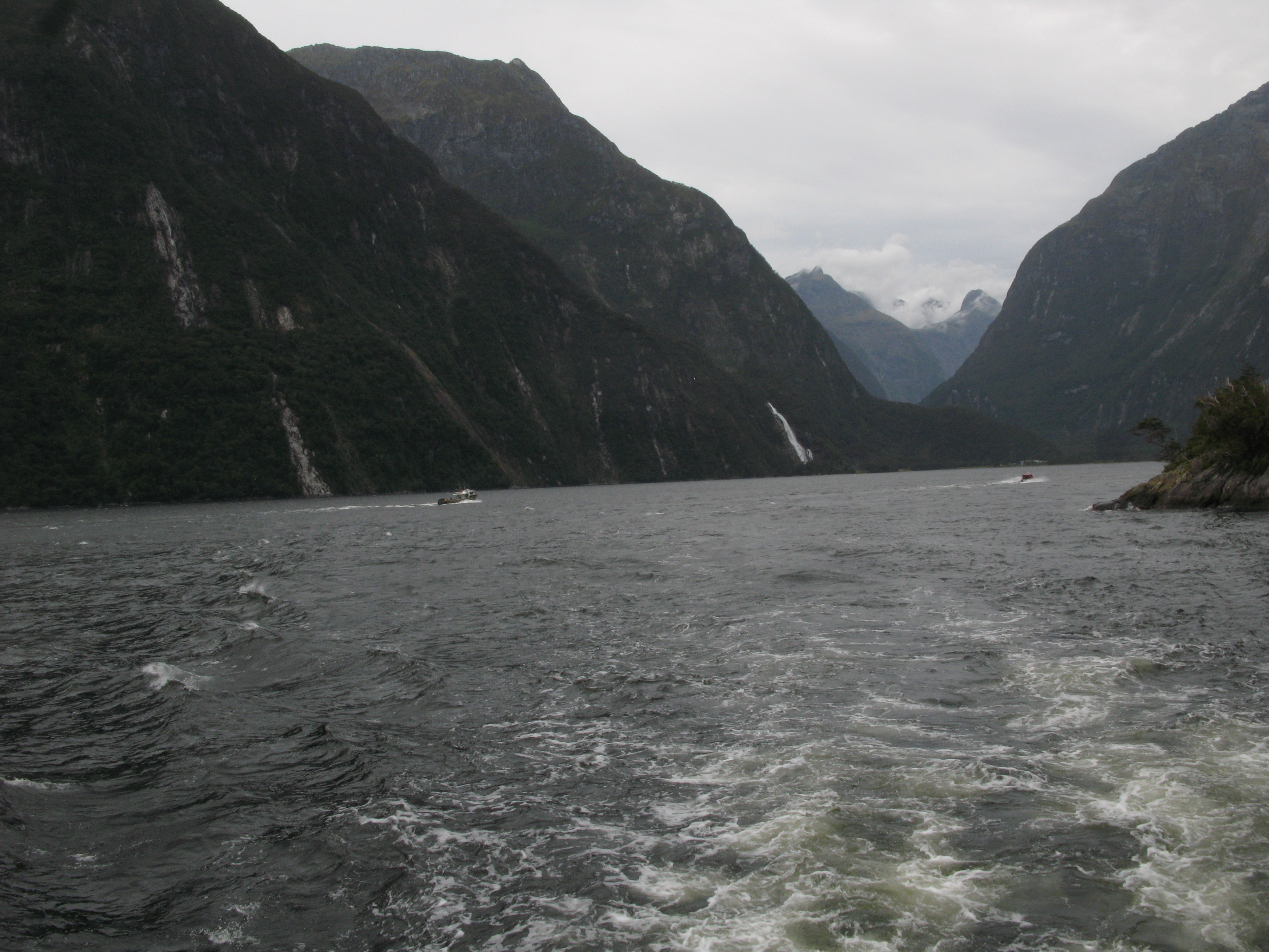
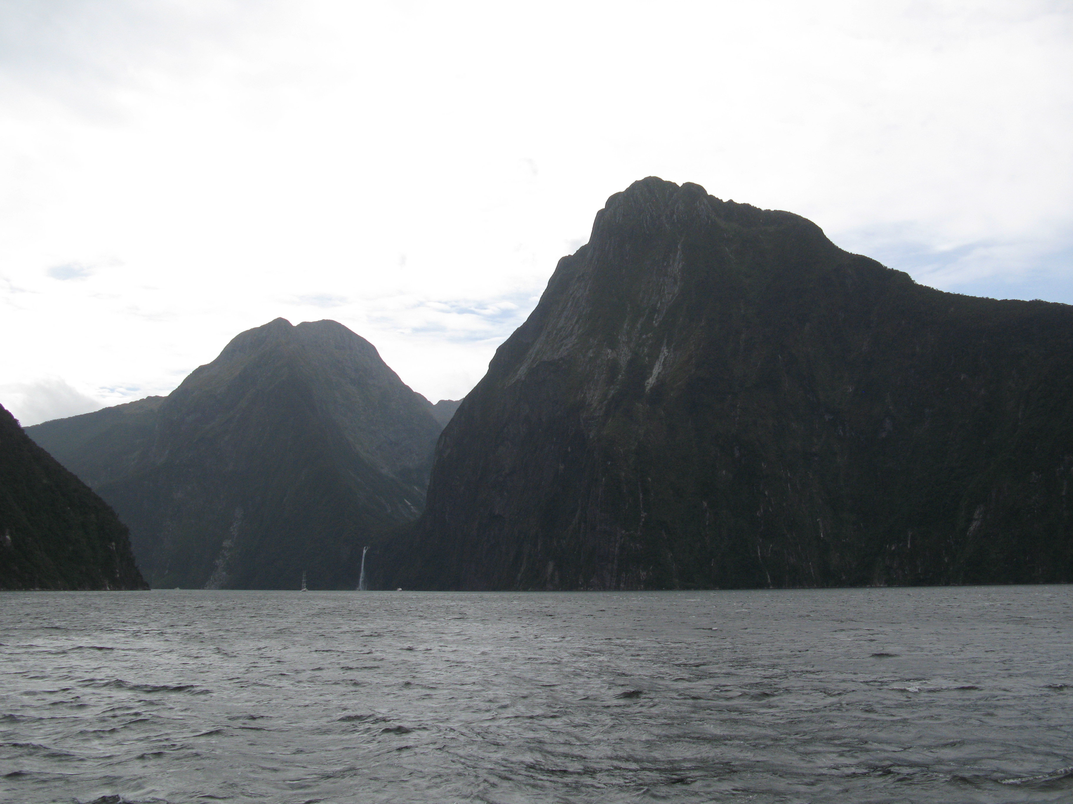
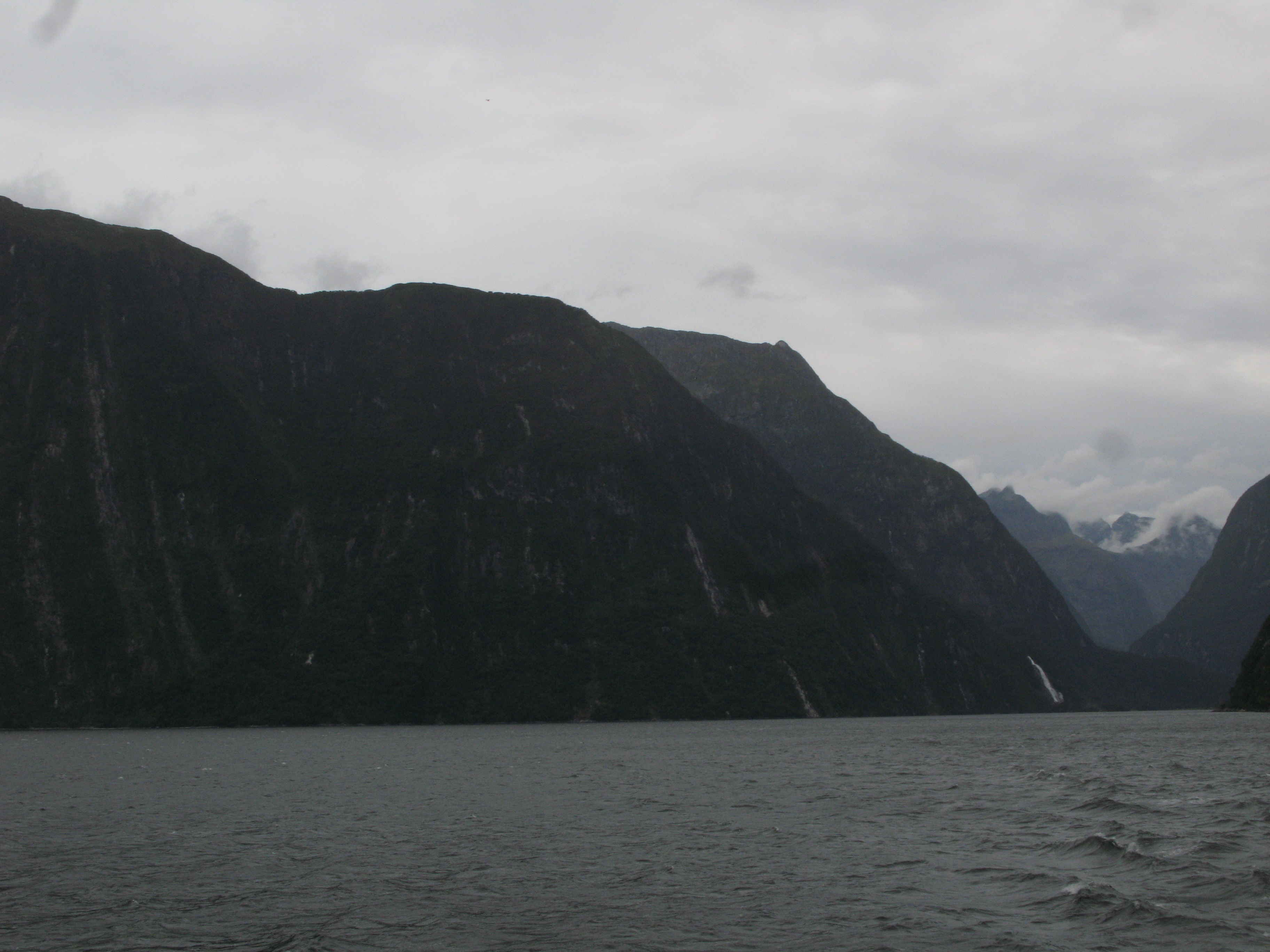
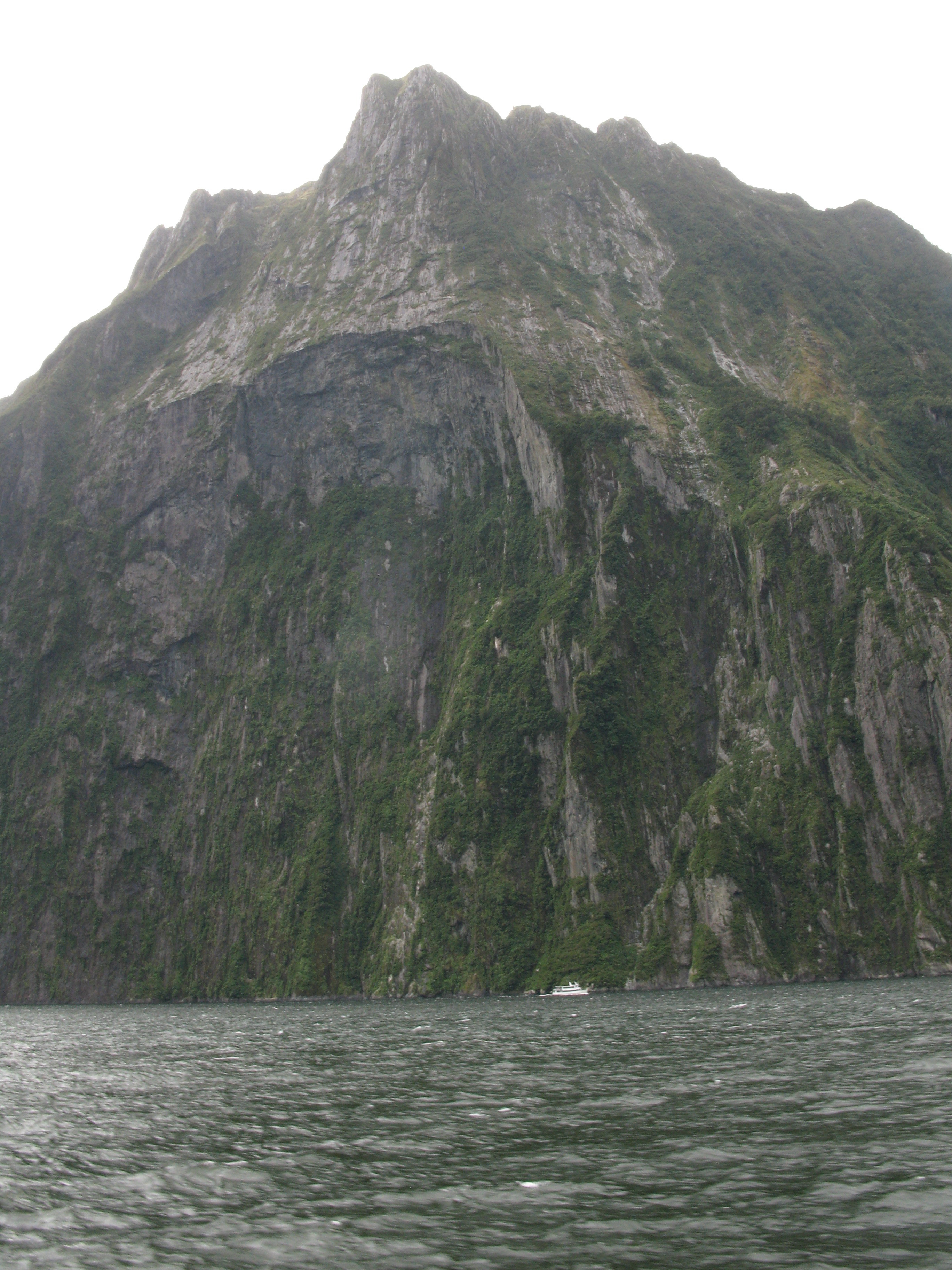
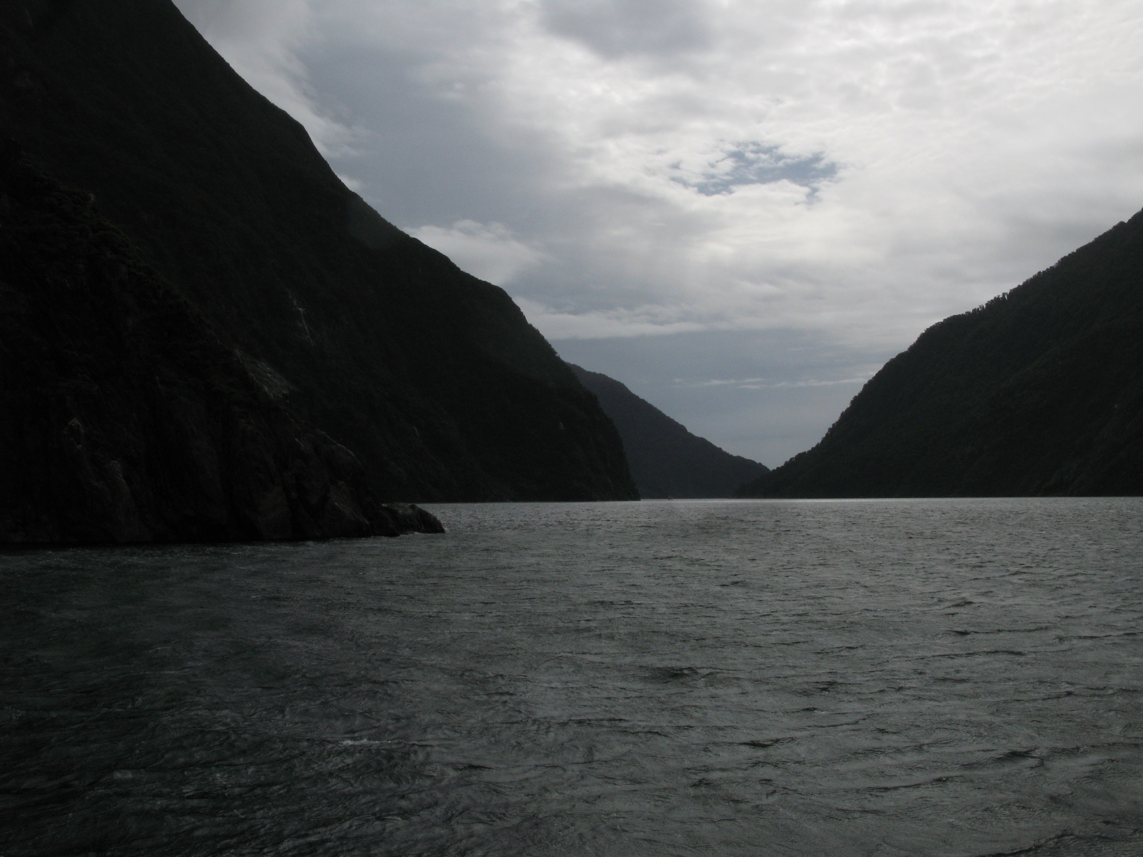
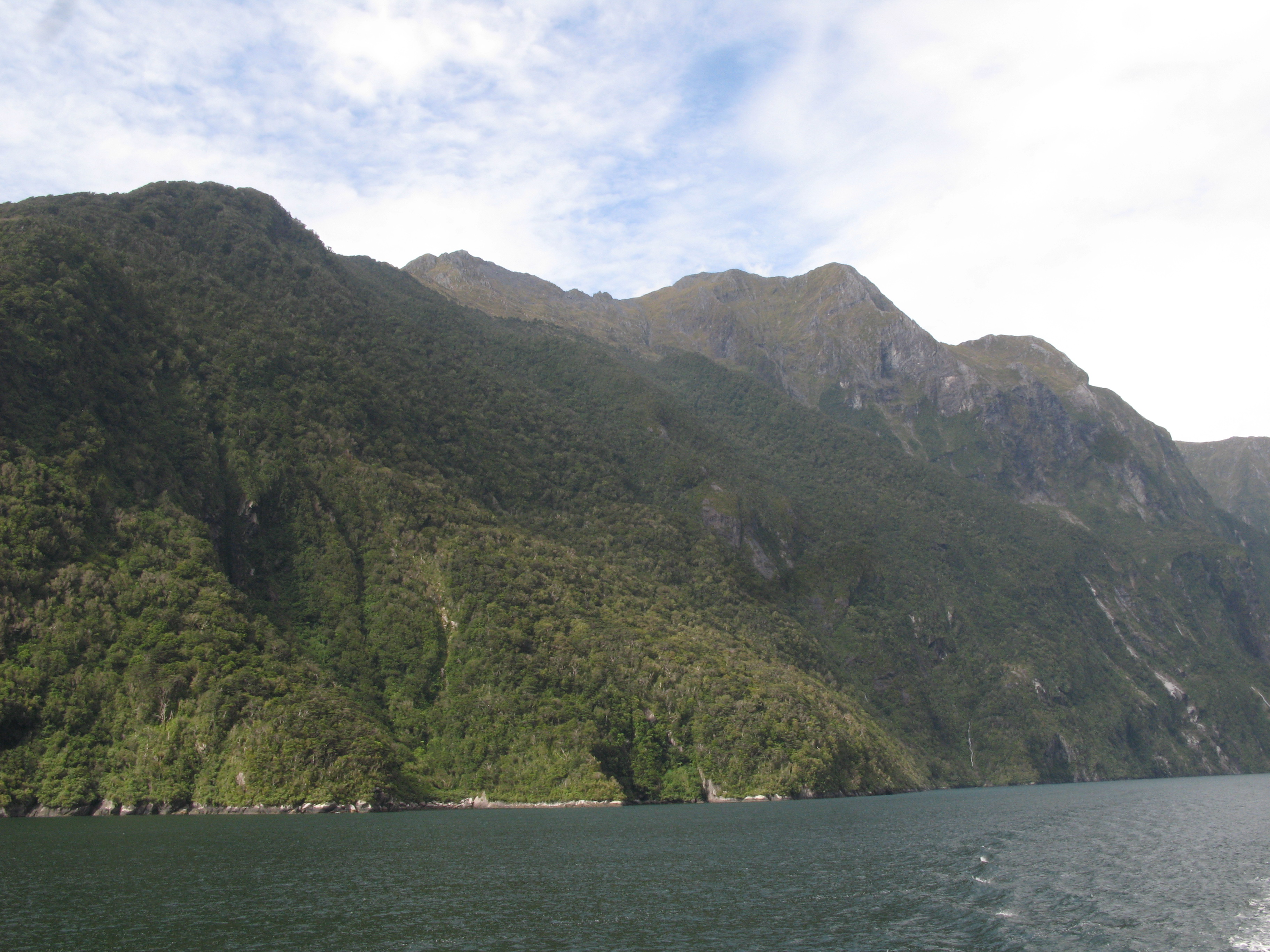
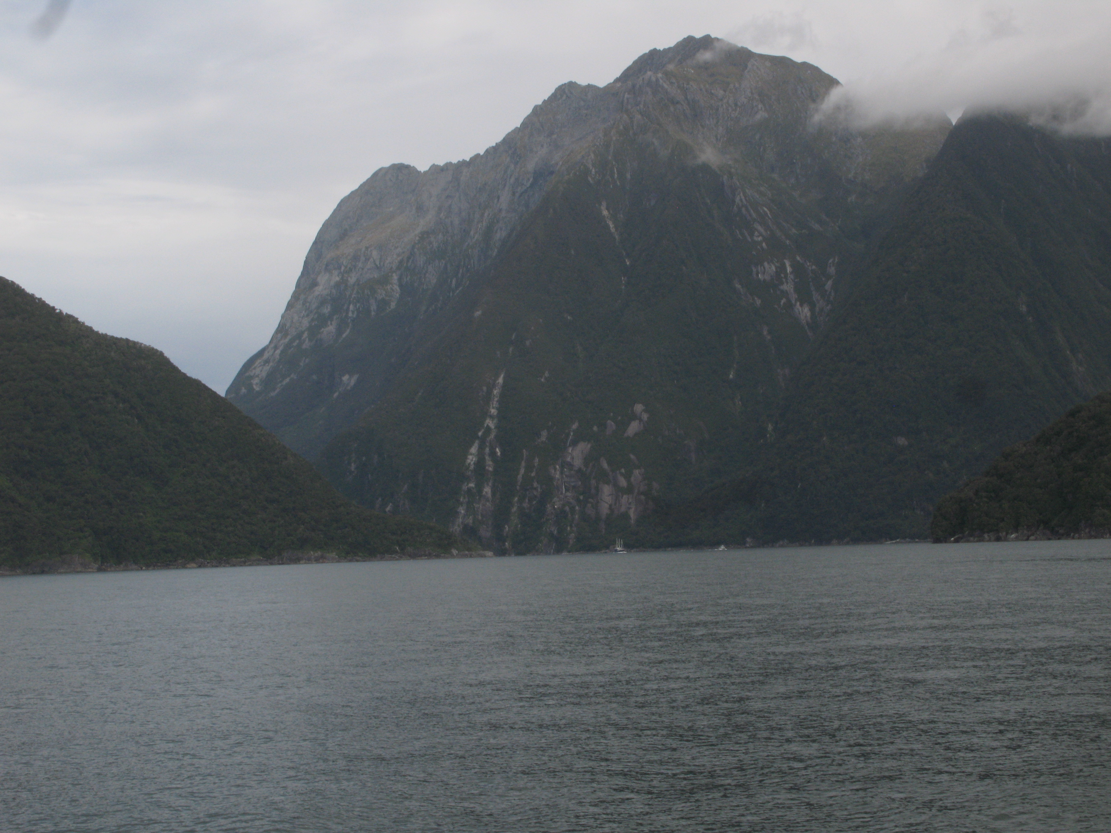
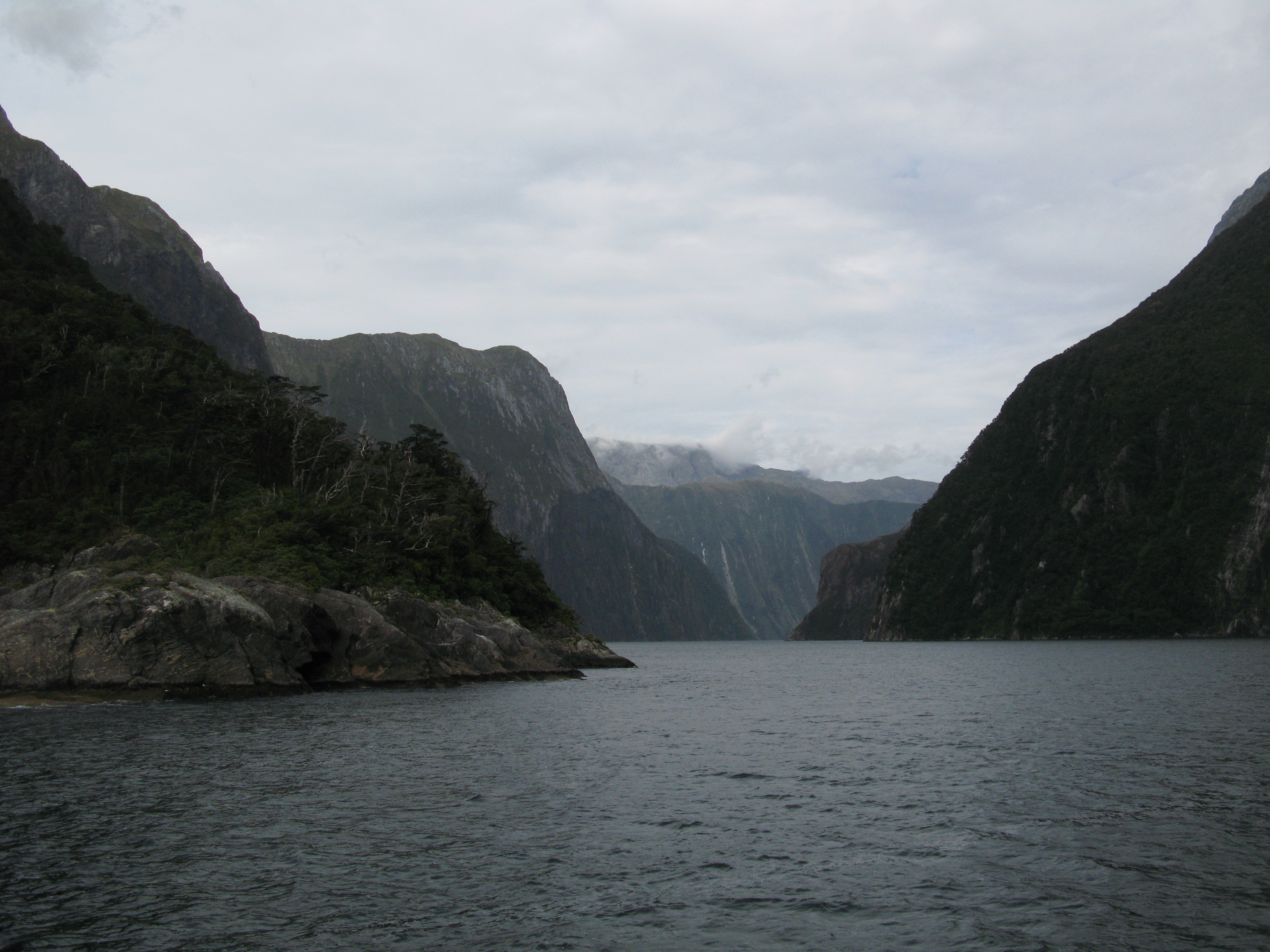
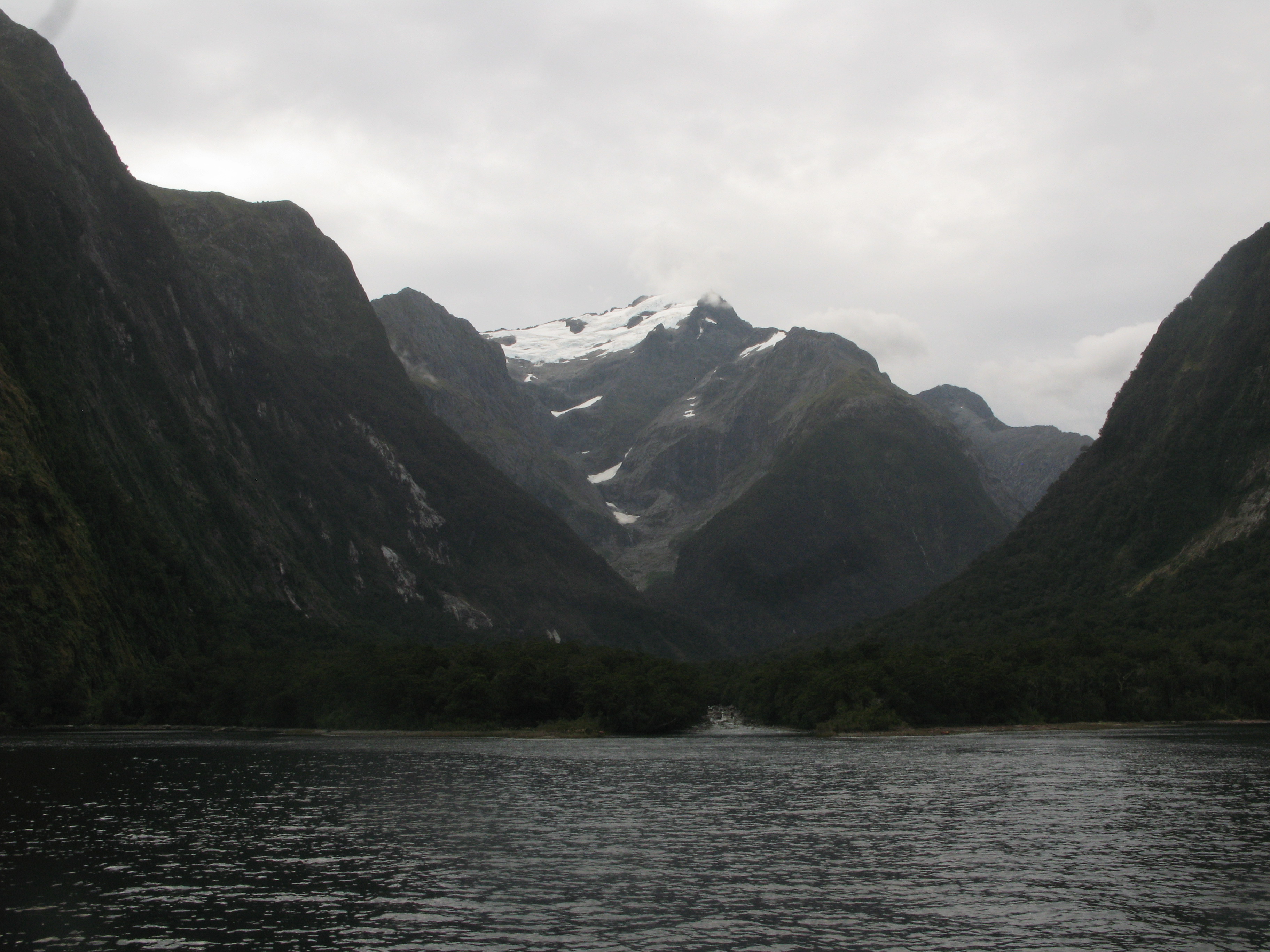
| Milford Sound. The prominent peak at centre is Mitre Peak. To the left of it is Sinbad Gully. |
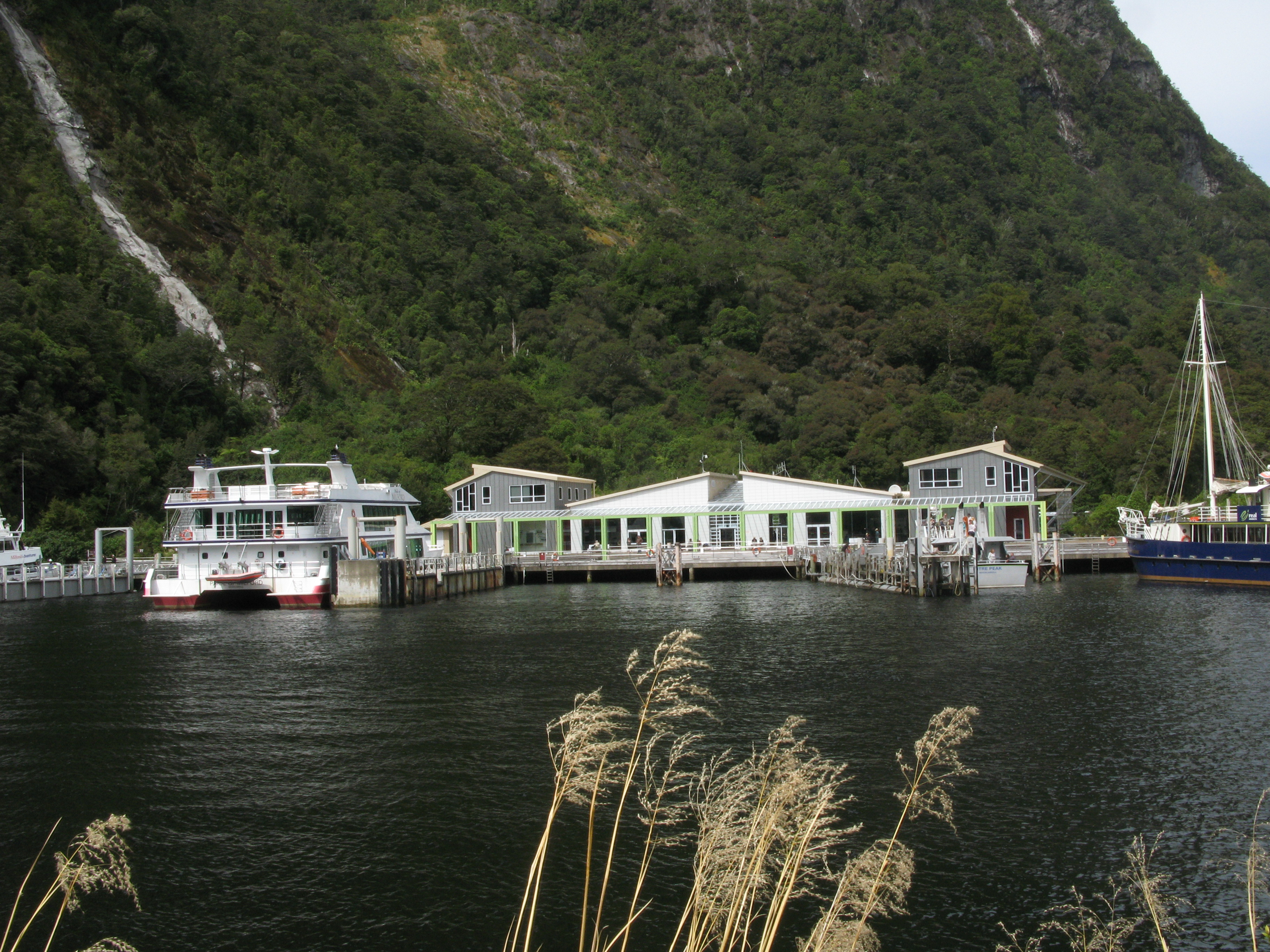
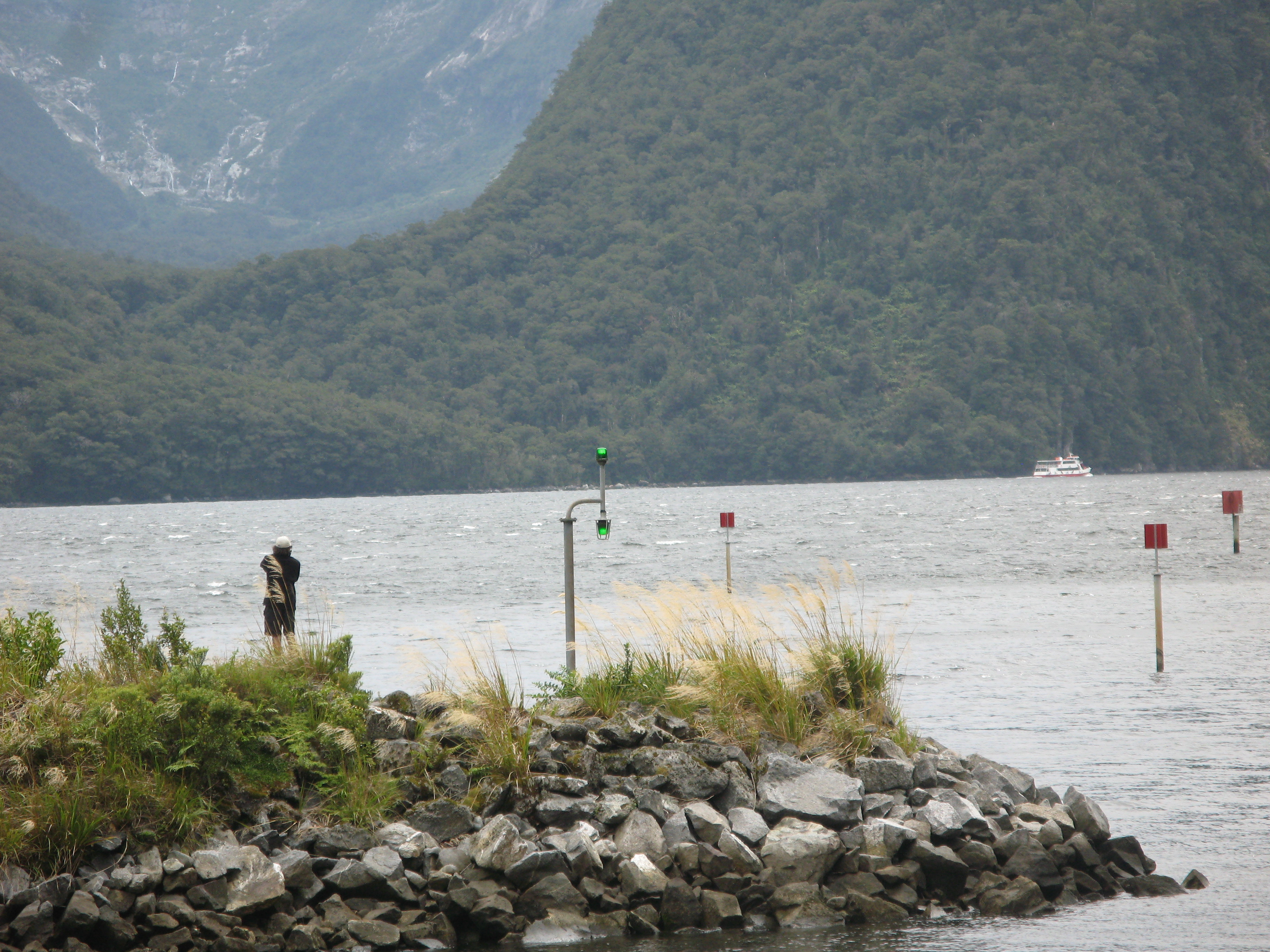
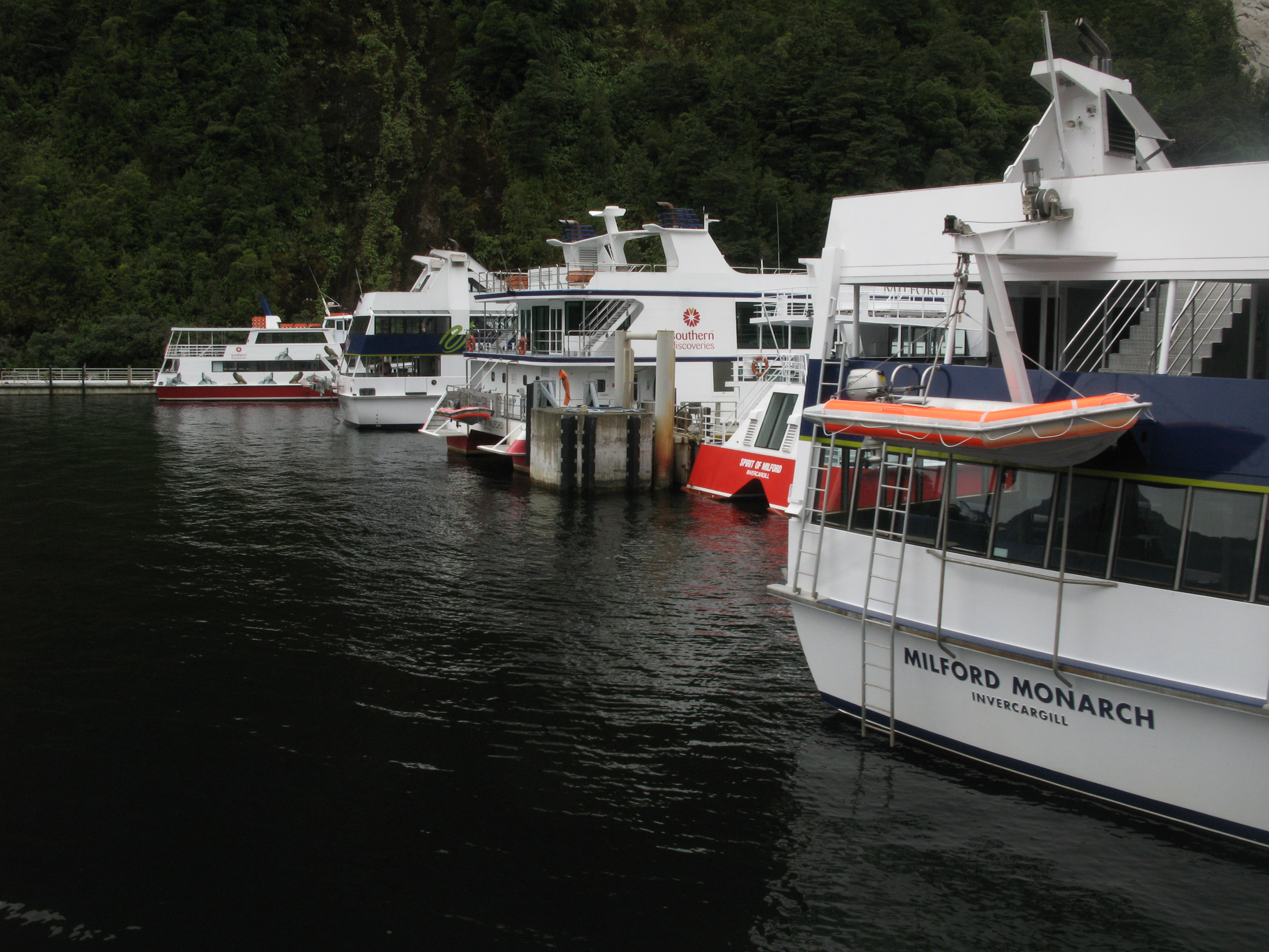
| One of two people-things at Milford Sound: the cruise terminal. (The other thing is a hotel.) |
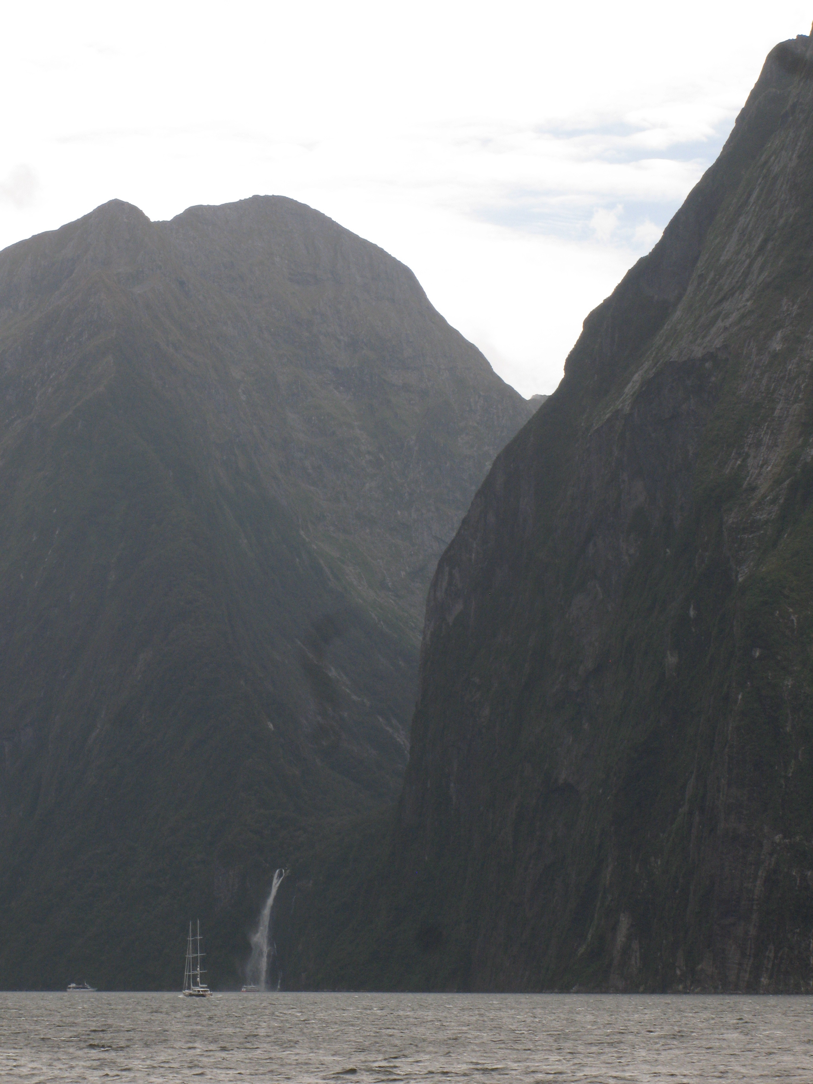
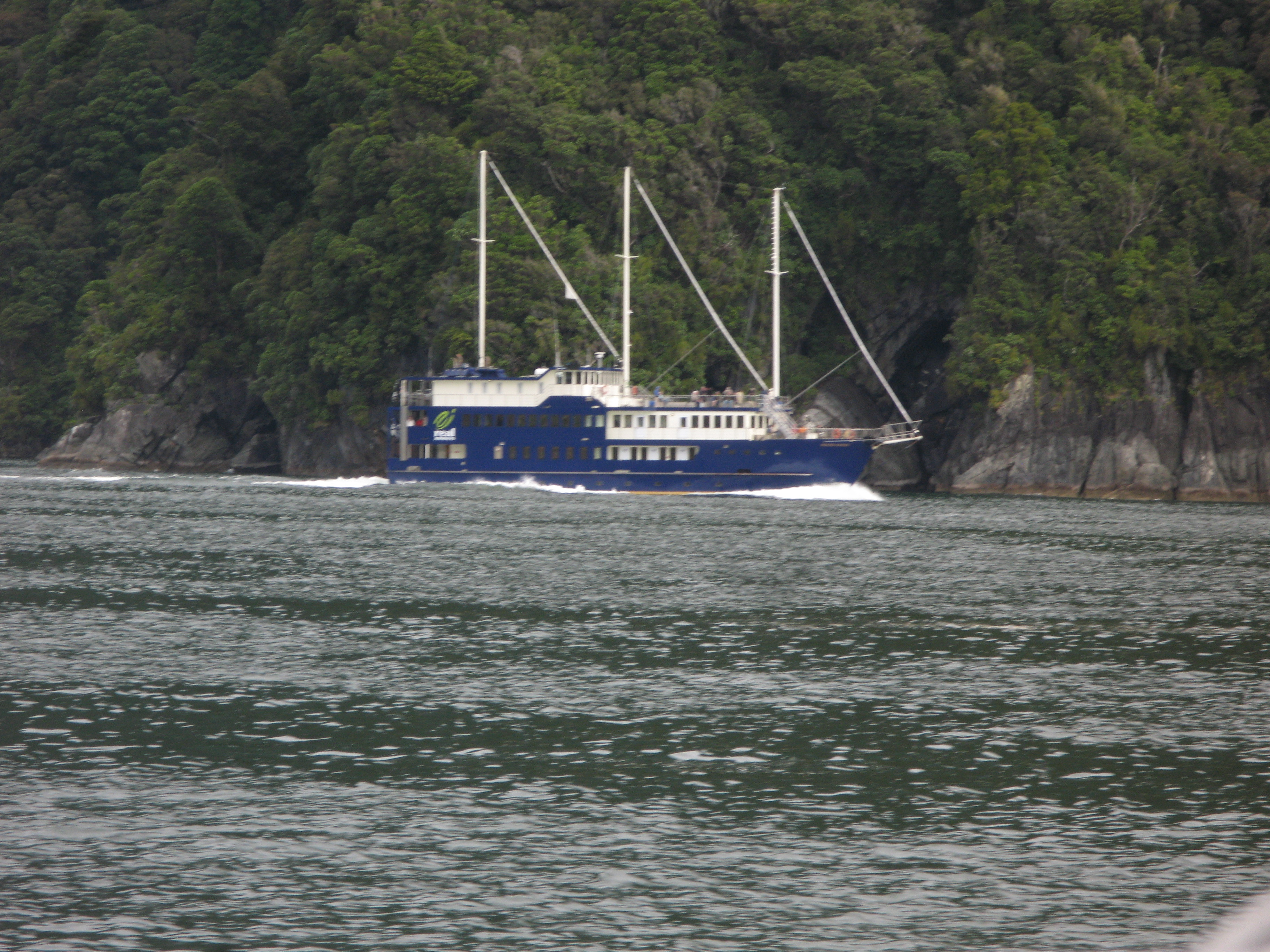
| Milford Wanderer, one of the overnight cruise ships. |
| The cruise terminal. |
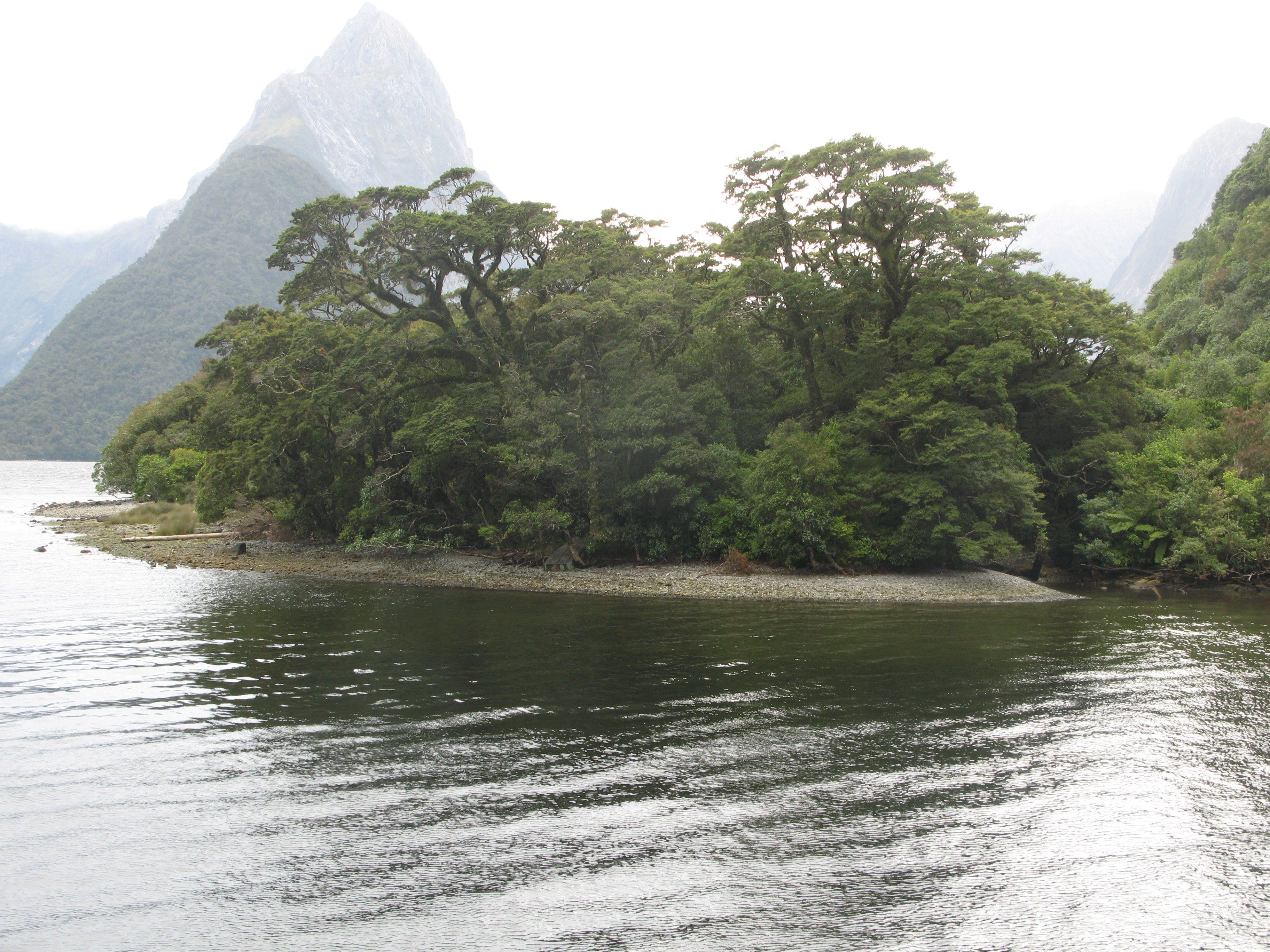
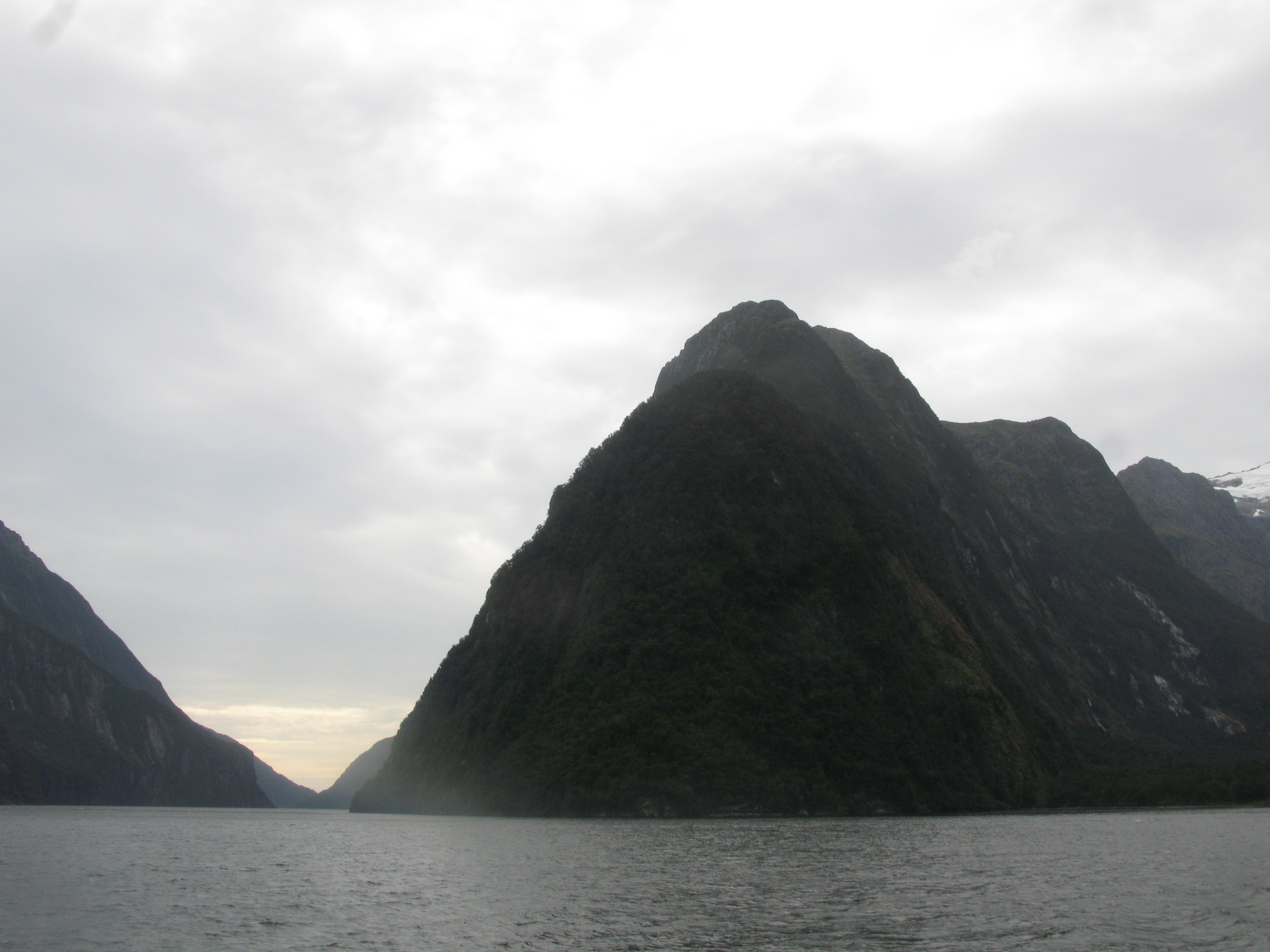
| Mitre Peak. |
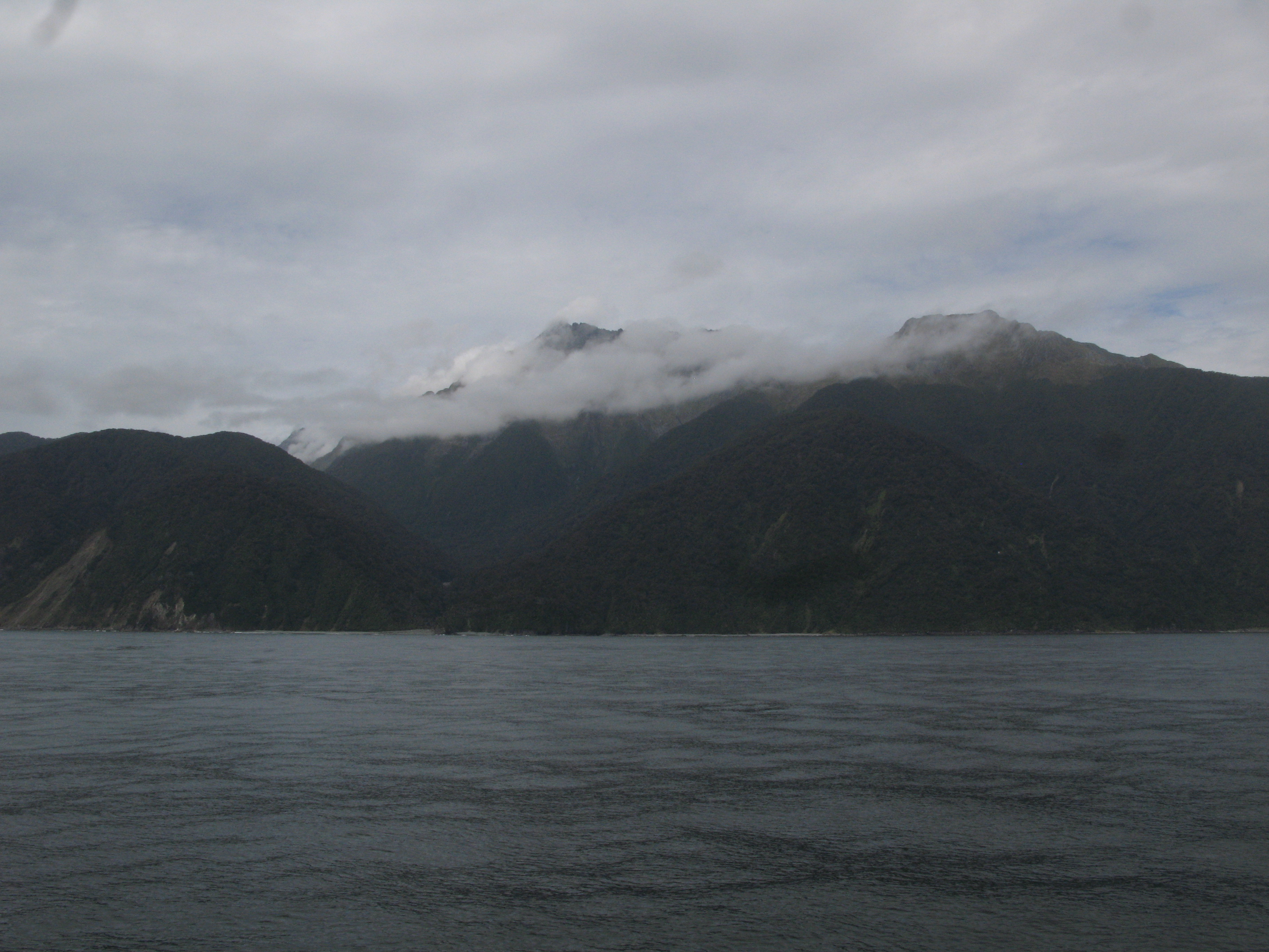
| The Arthur River valley, down which the immensely popular Milford Track runs. About 14,000 people tramp the four day track from each year. The start of the track is on the far bank of Lake Te Anau. |
| |
| (14281x2182, 4784.13 kb) Milford Sound. From left we have: the Devil's Armchair, the Llawrenny Peaks (in the distance, up the gully), Mount Phillips, Simbad Gully, Mitre Peak, the Sound, the Lion (distance), and the lower slope of Cascade Peak at right. Below the Devil's Armchair is the Milford Hotel, and the tree'd spit to the right of that contains the airstrip. | |
| A cruise sets off from the terminal. |
| And a plane takes off from the airstrip. For an airstrip in the middle of nowhere, it sees a lot of activity. |
| Look-out point. |
| Milford Wanderer, a motorised ketch. |
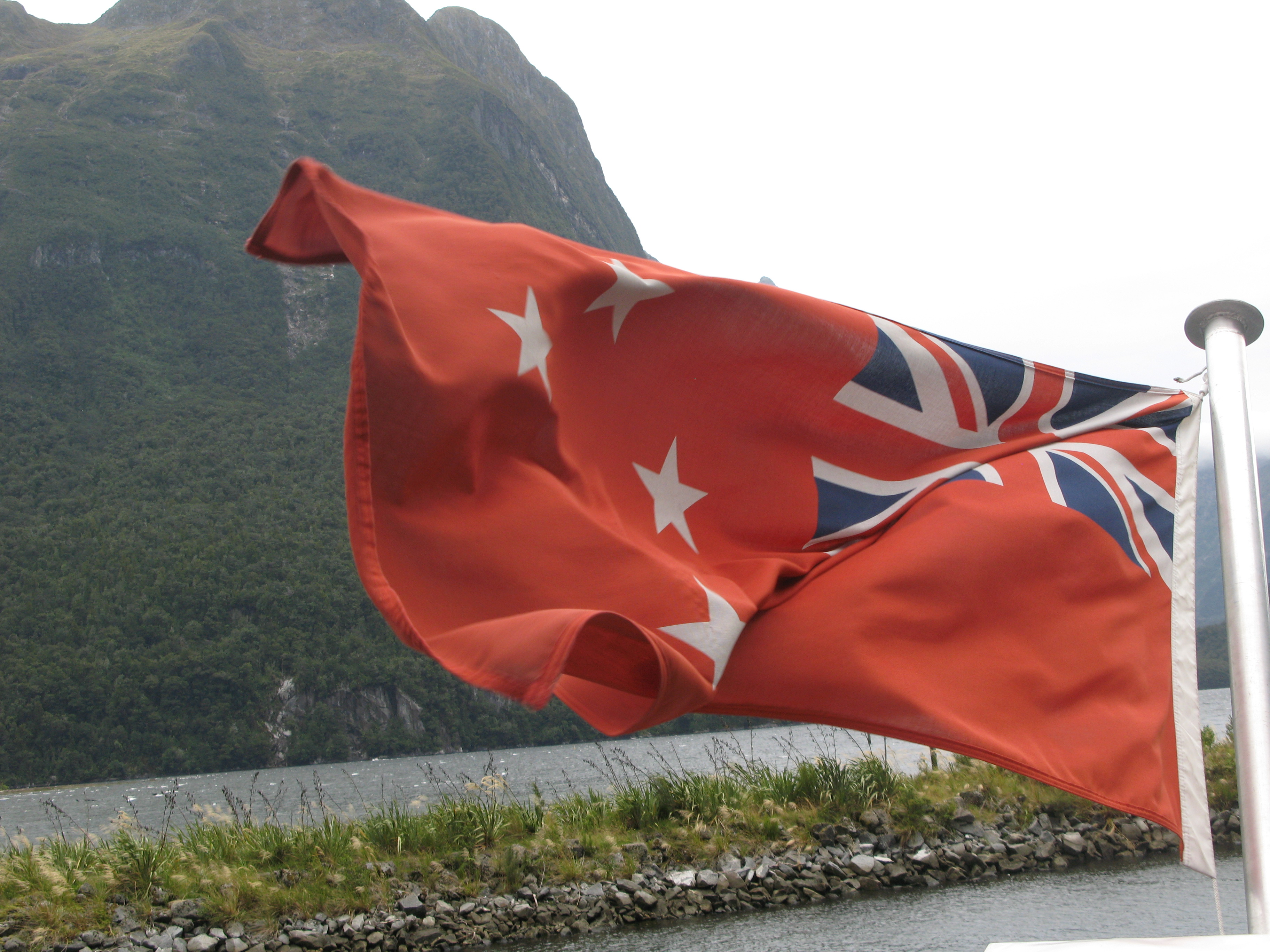
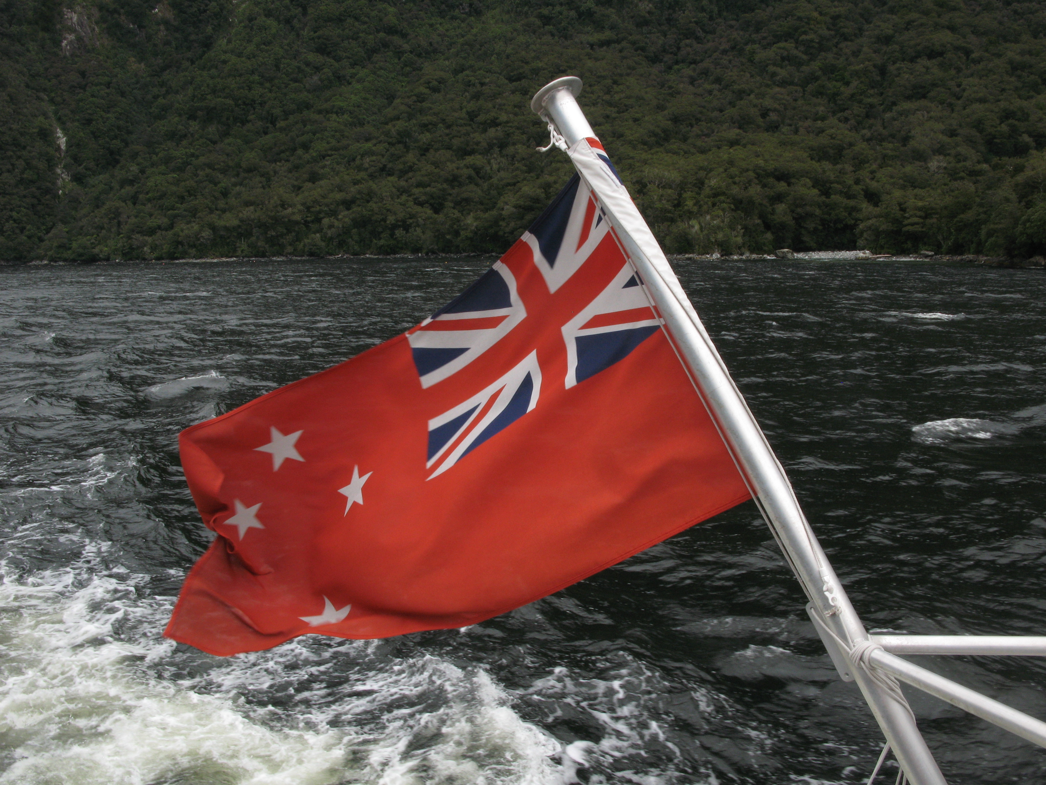
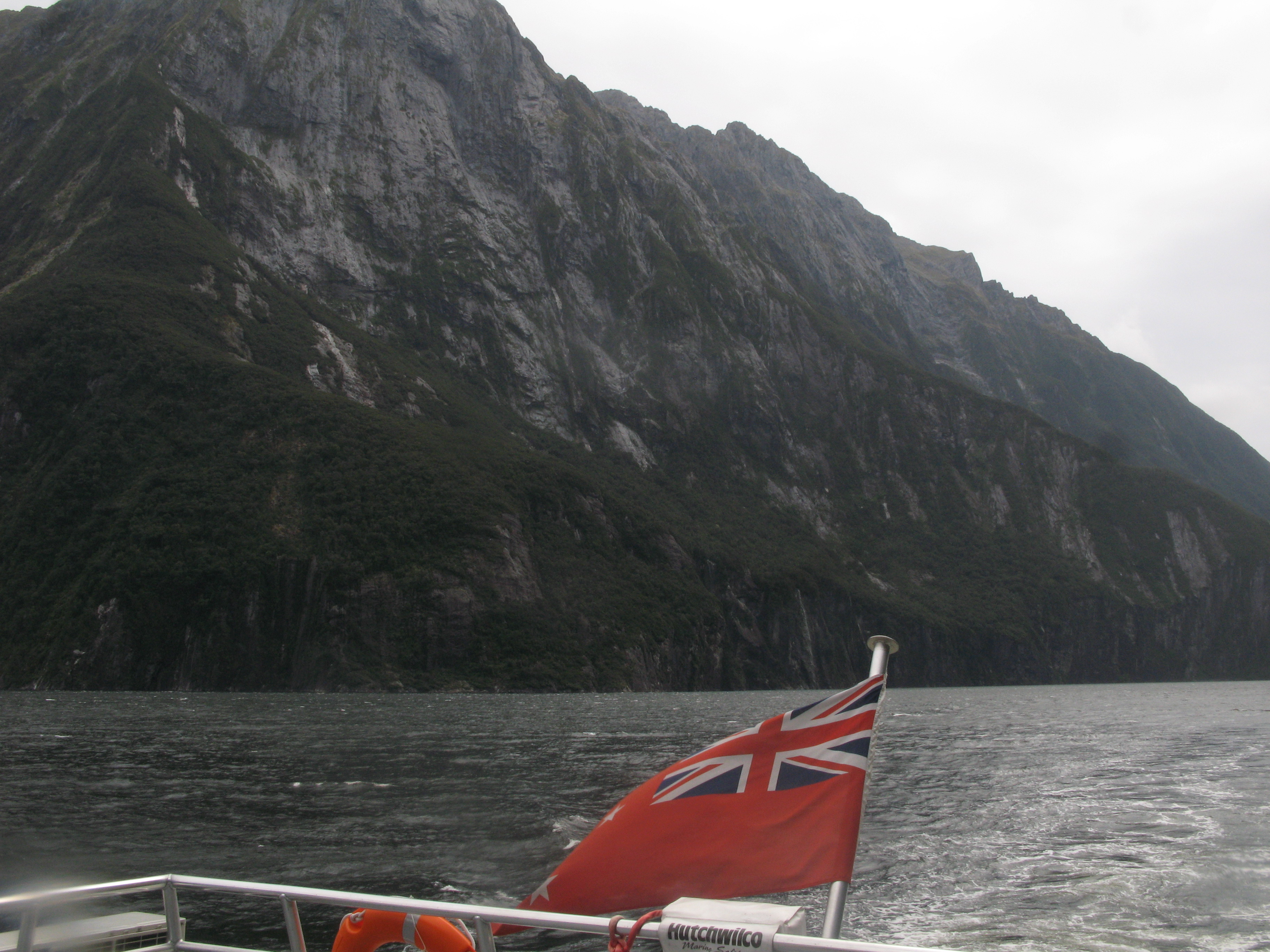
| Red Ensign. |
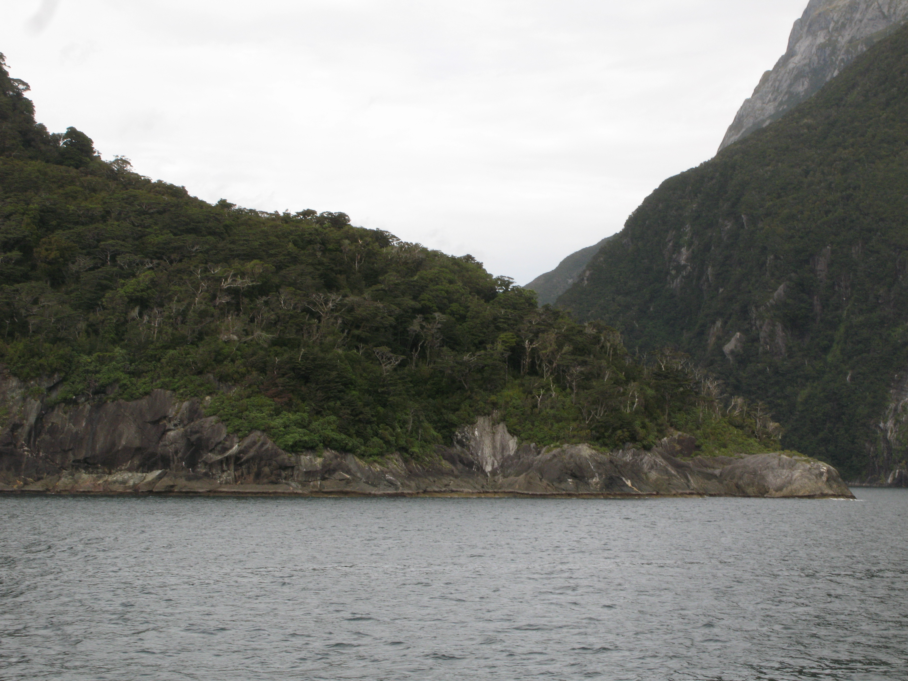
| Headland at the harbour. |
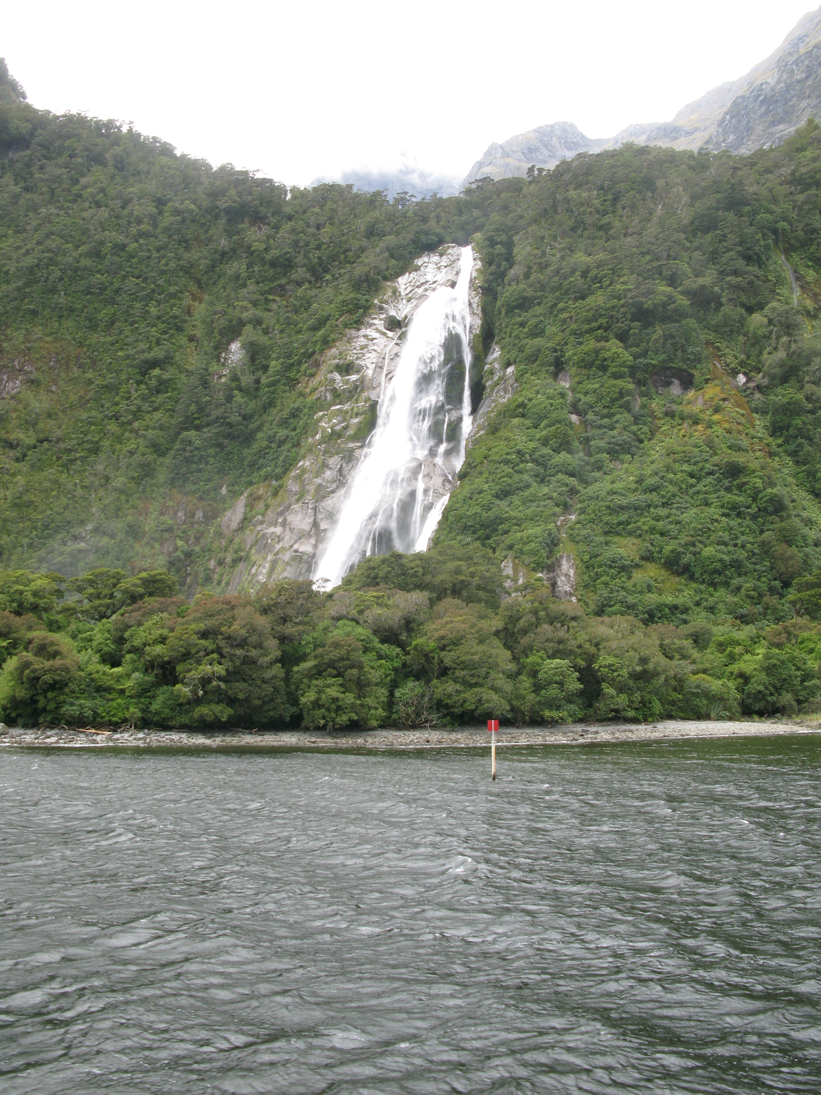
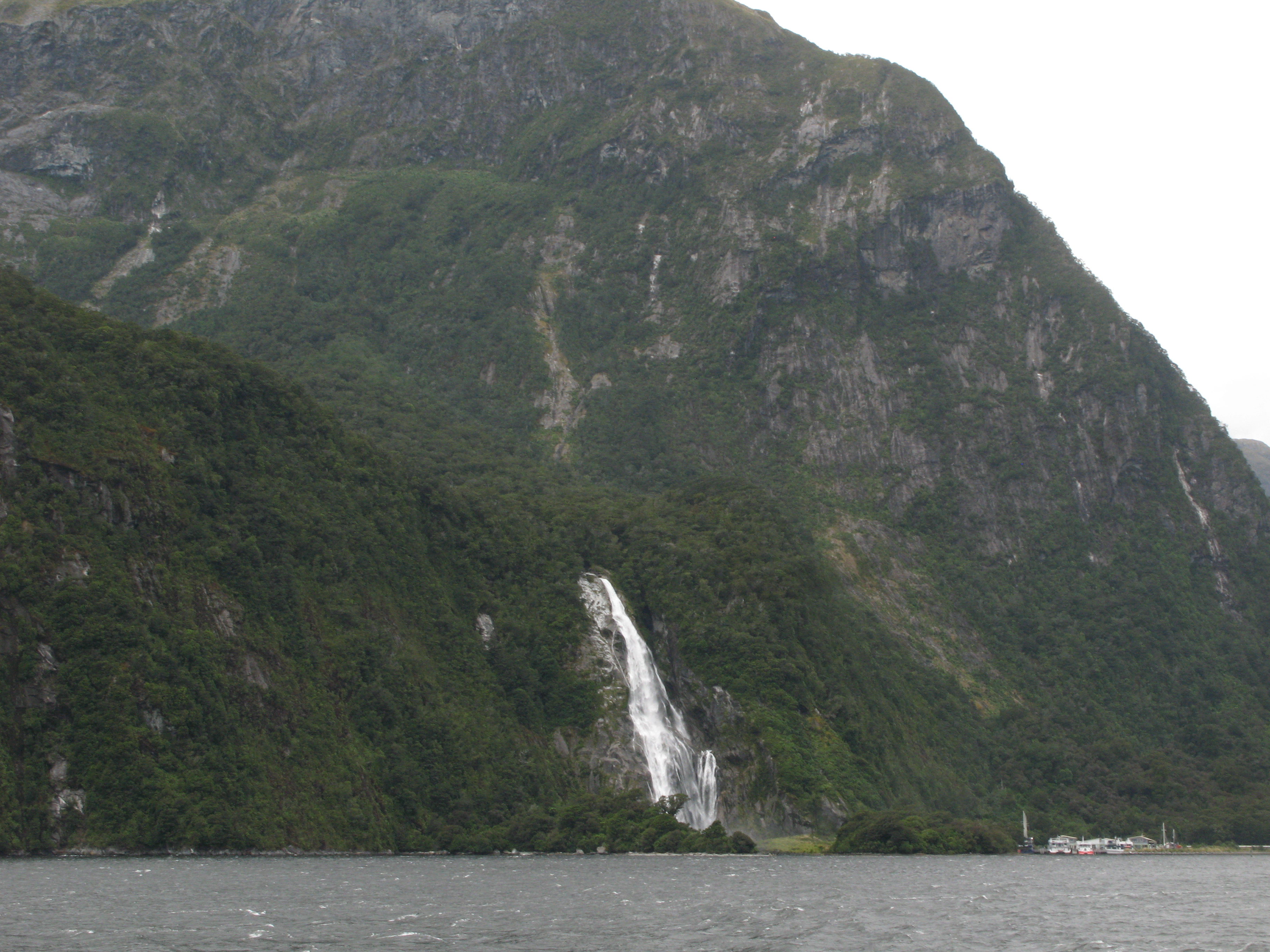
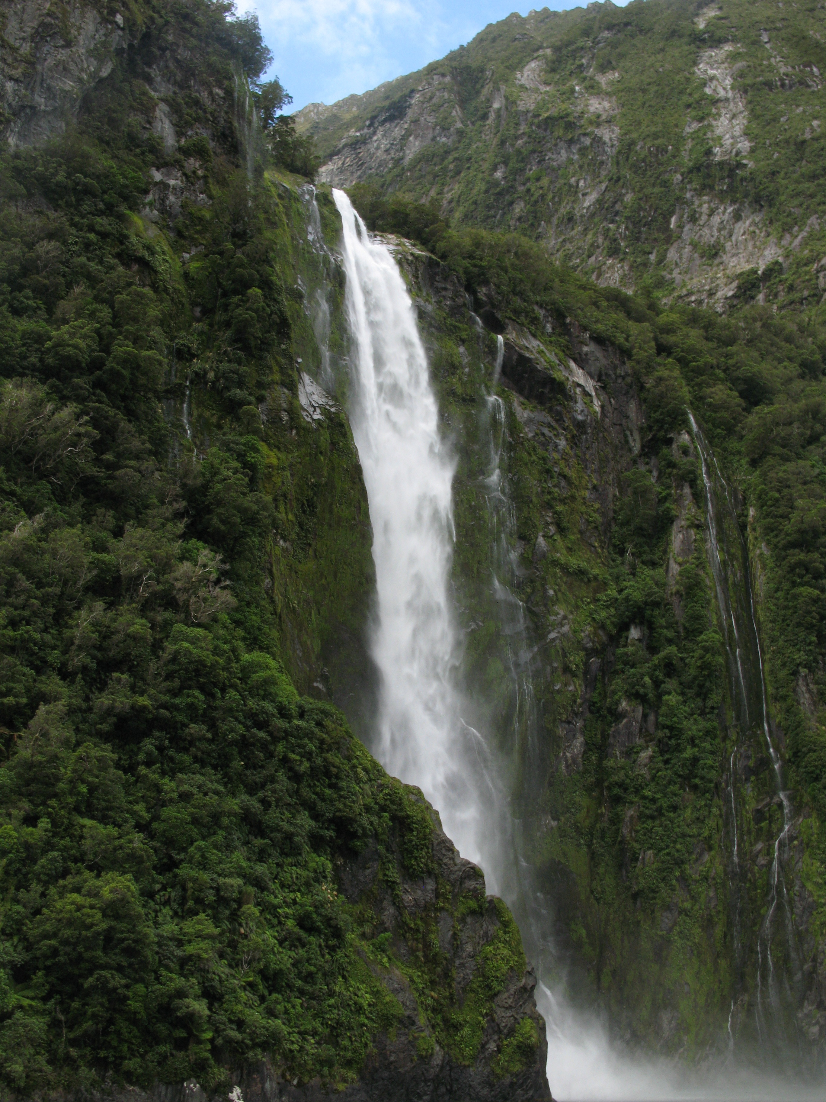
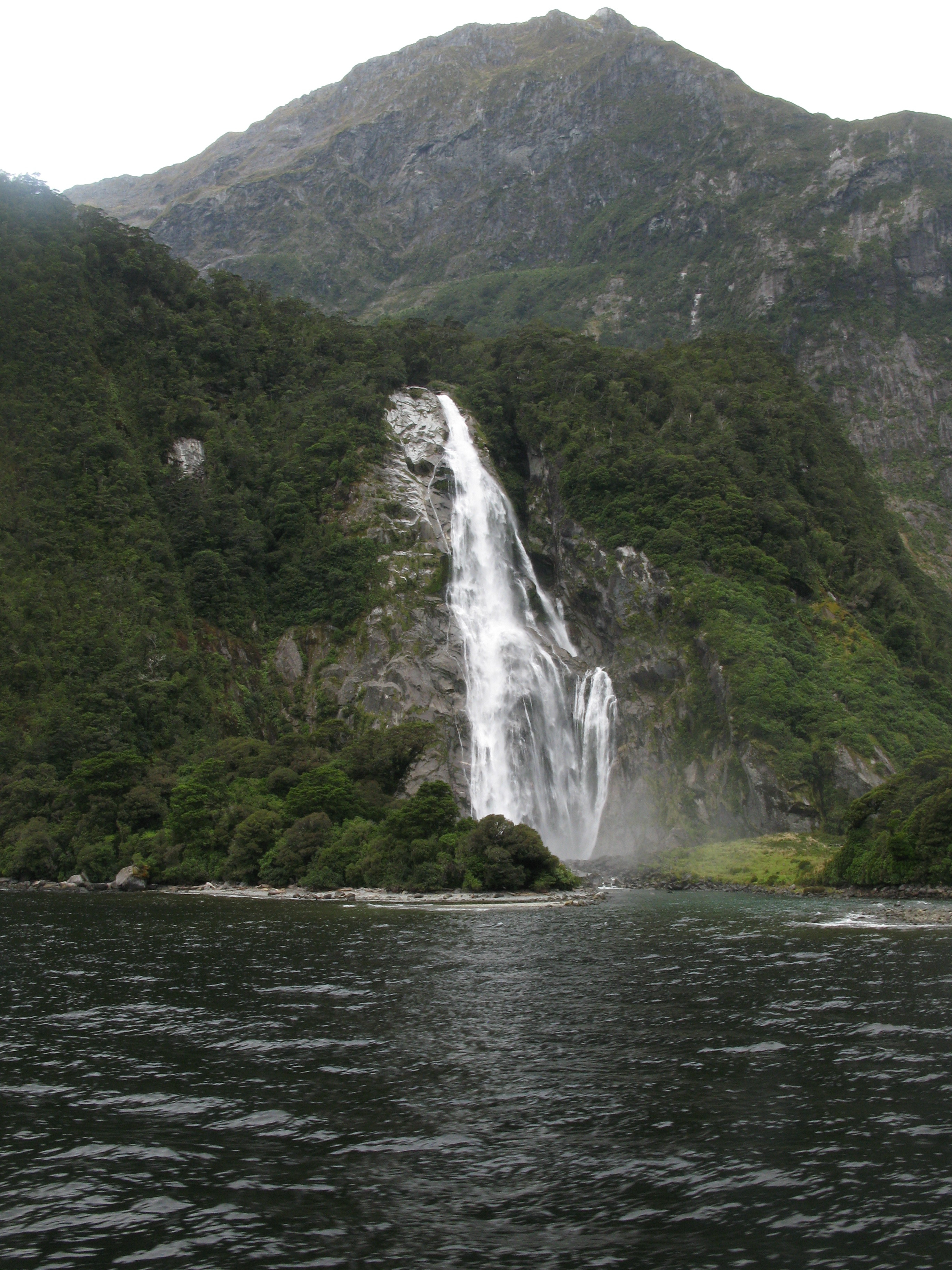
| Bowen Falls. |
| Bowen Falls. |
| Heading out into Milford Sound. The hotel can be seen on the shore. |
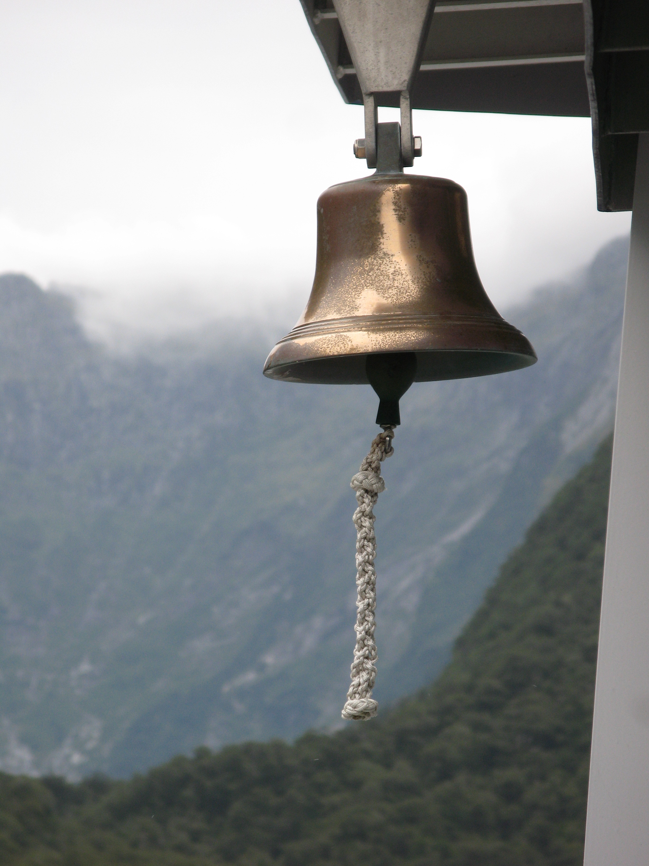
| Bell. |
| Bowen Falls with the cruise terminal to the right. |
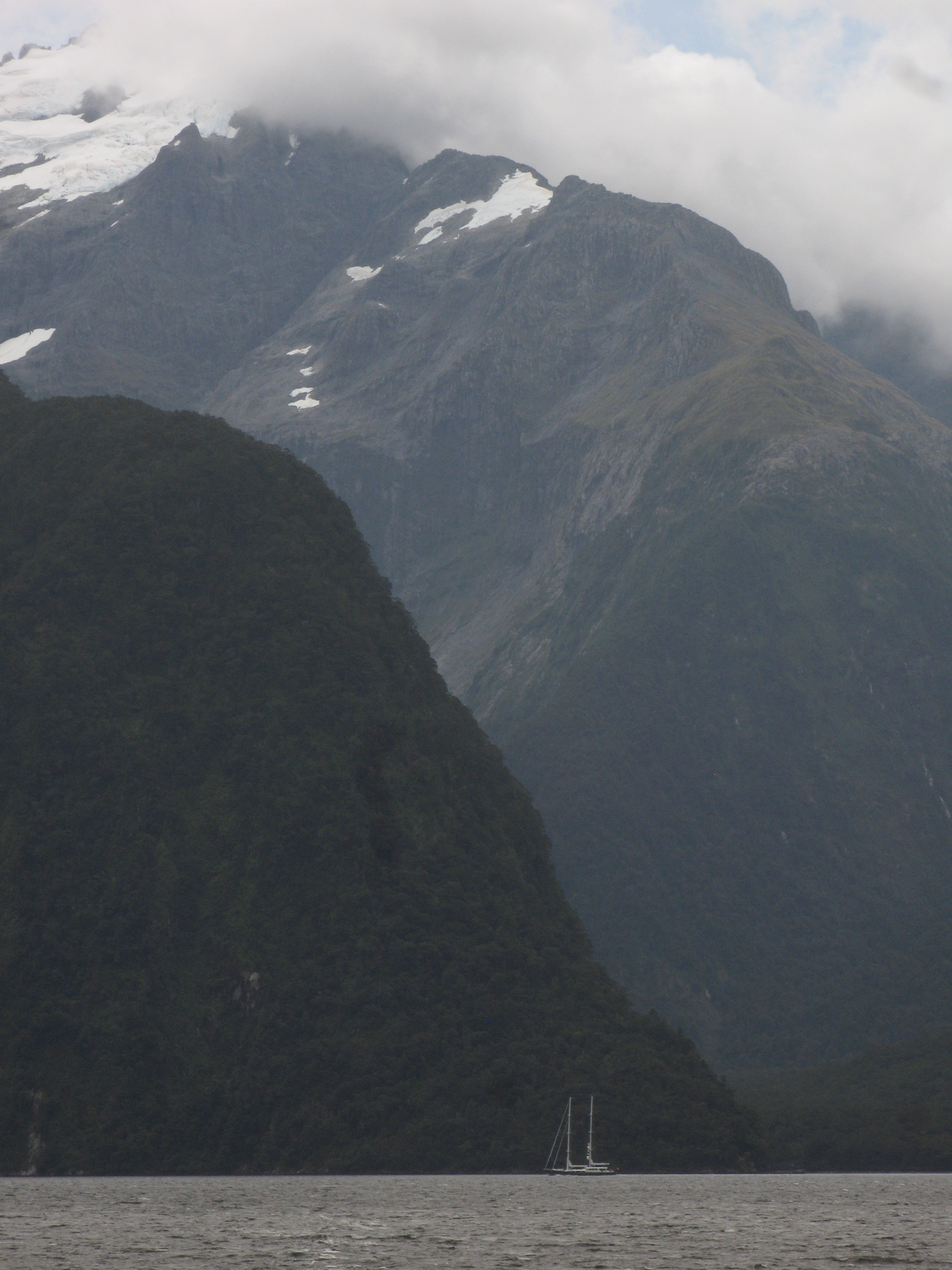
| A schooner in the Sound. |
| The Lion. |
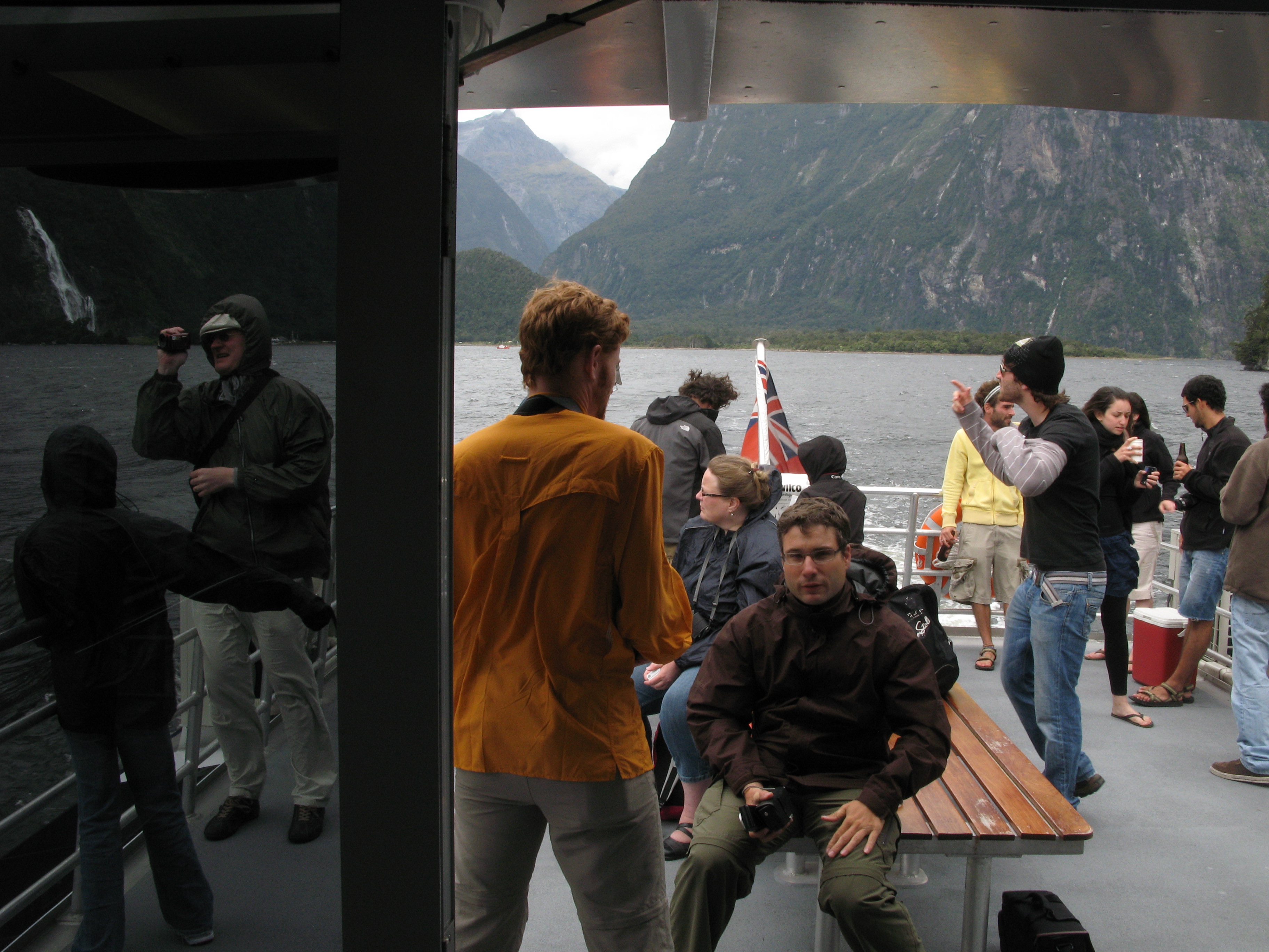
| Cruisey-times. |
| Looking towards Harrison Cove. |
| Ensign again. Like most flags, it had a tendency to wrap itself around it's spar. |
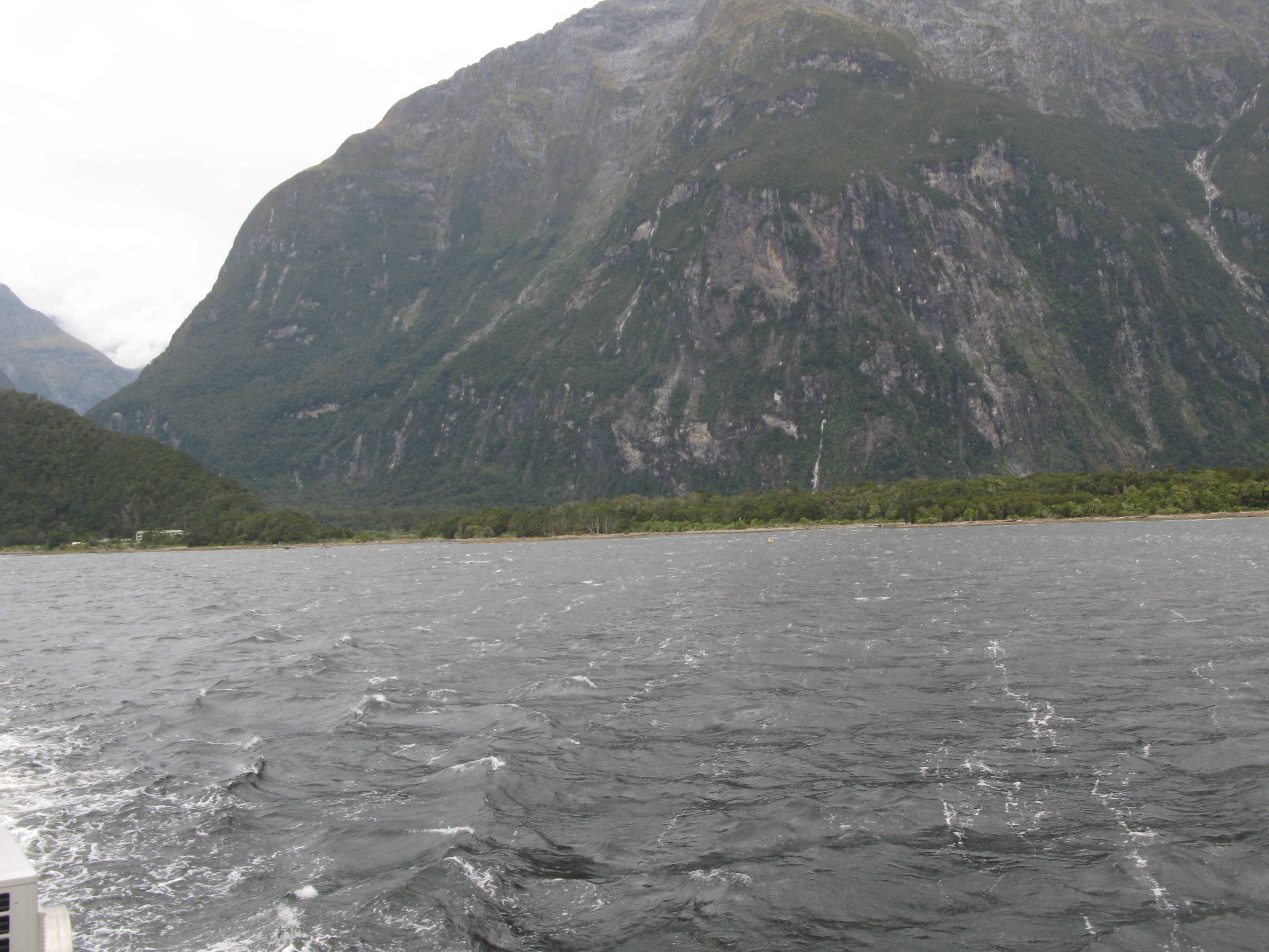
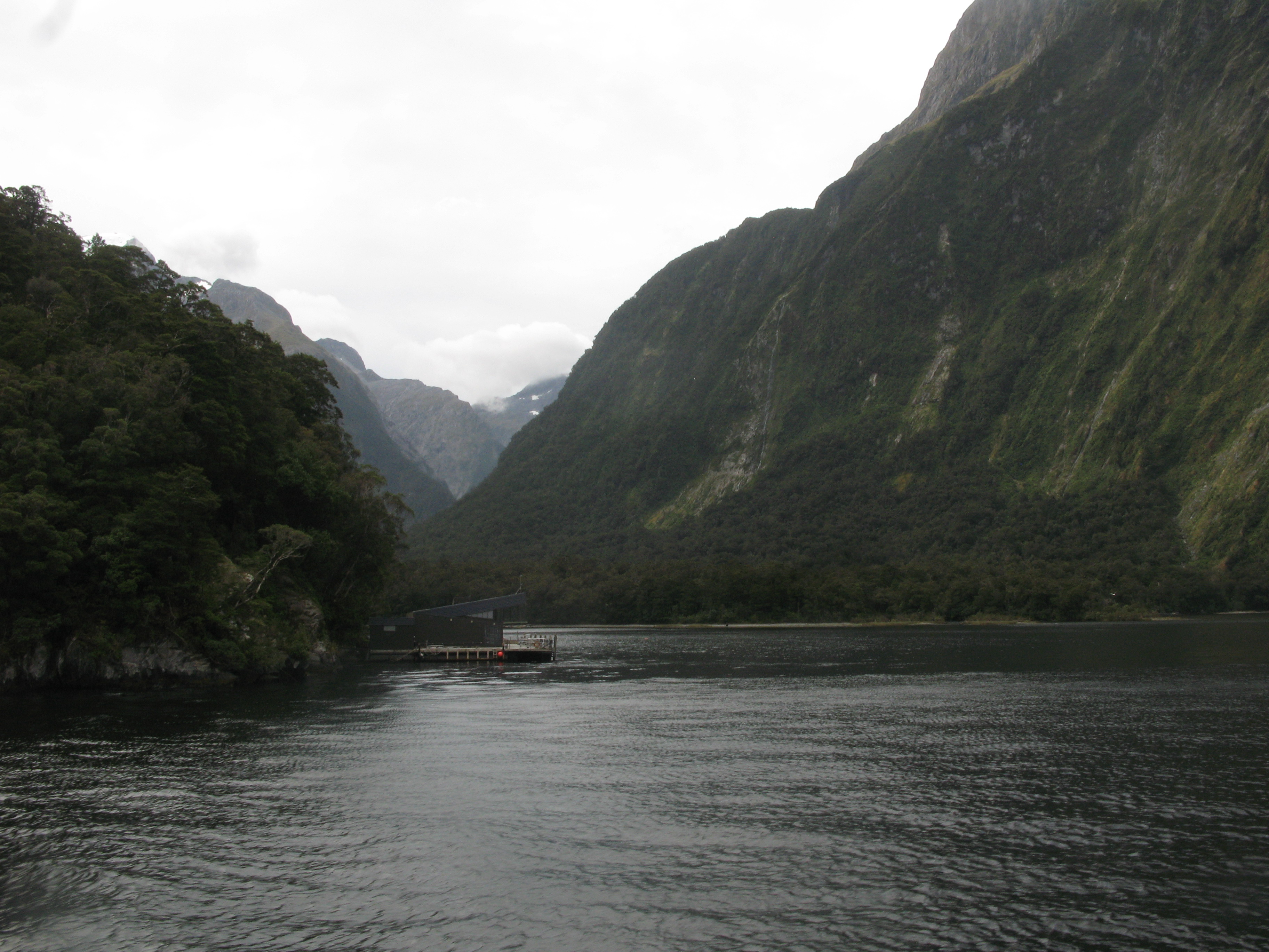
| Looking back at the settlement. Behind is the Cleddau River valley, where the road to Te Anau (and, I guess, everywhere else) runs. |
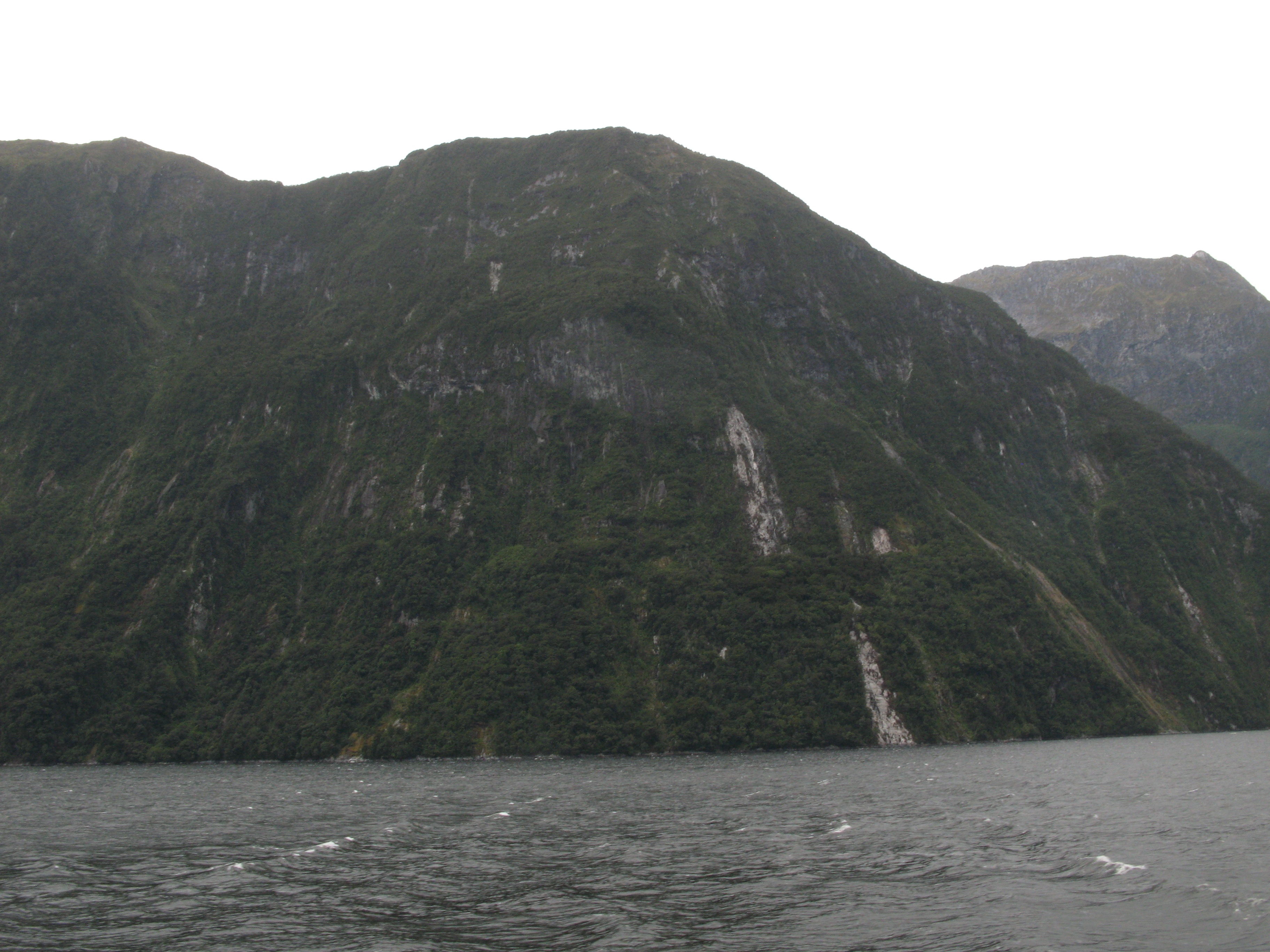
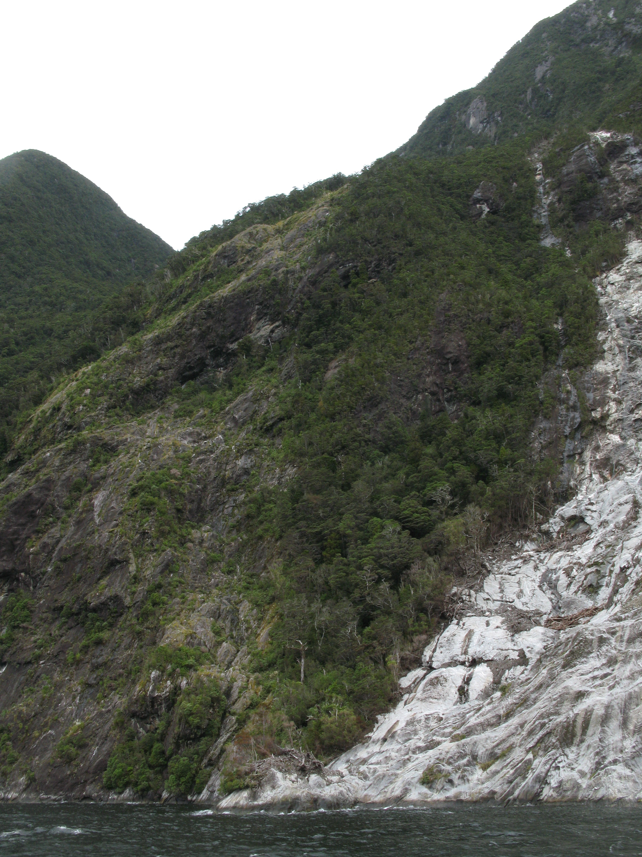
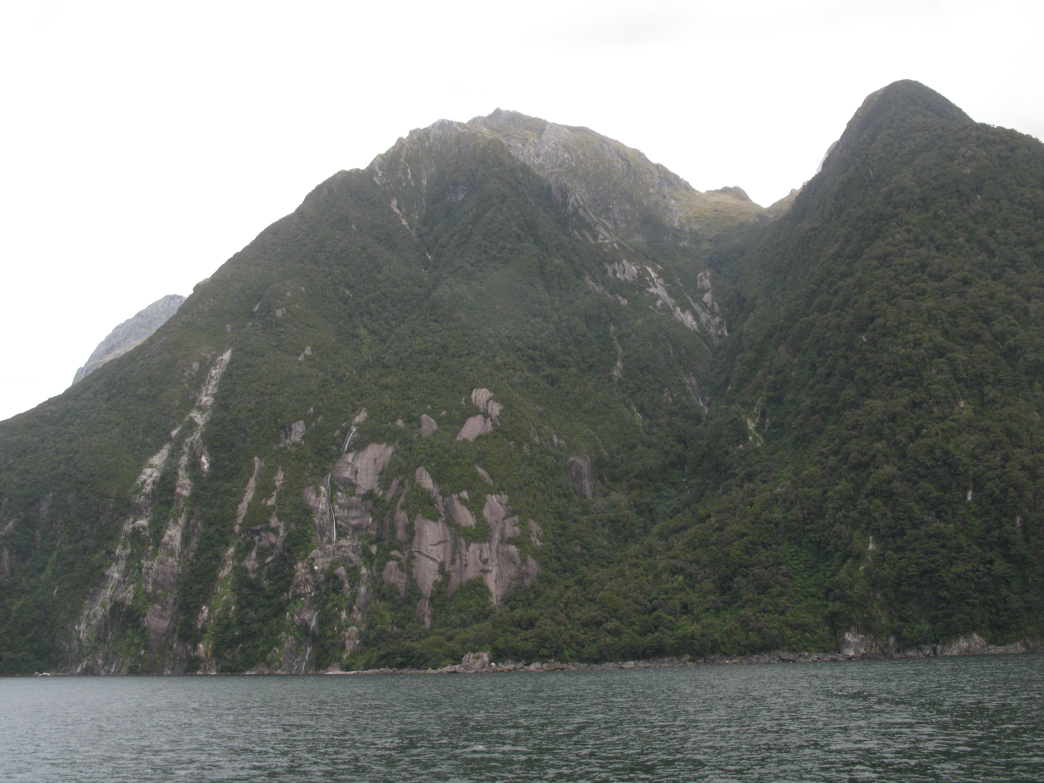
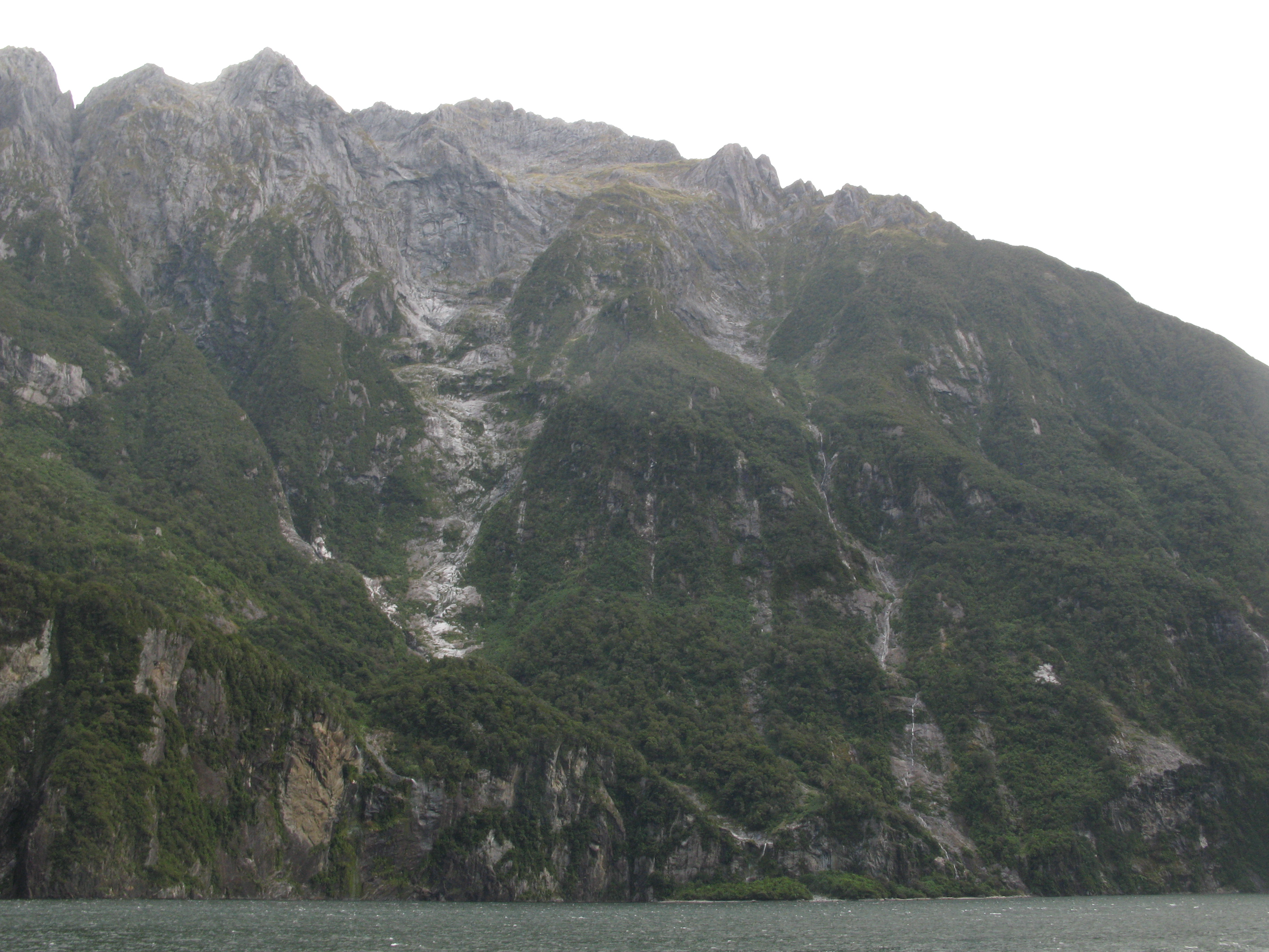
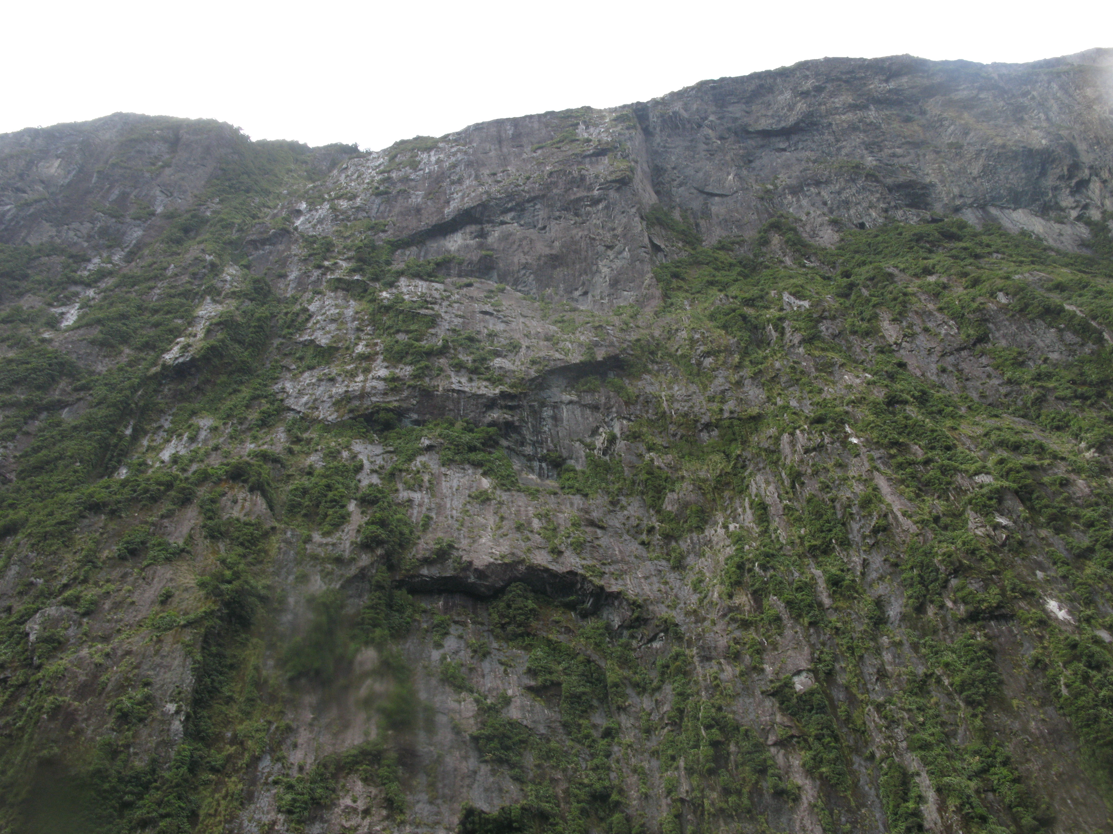
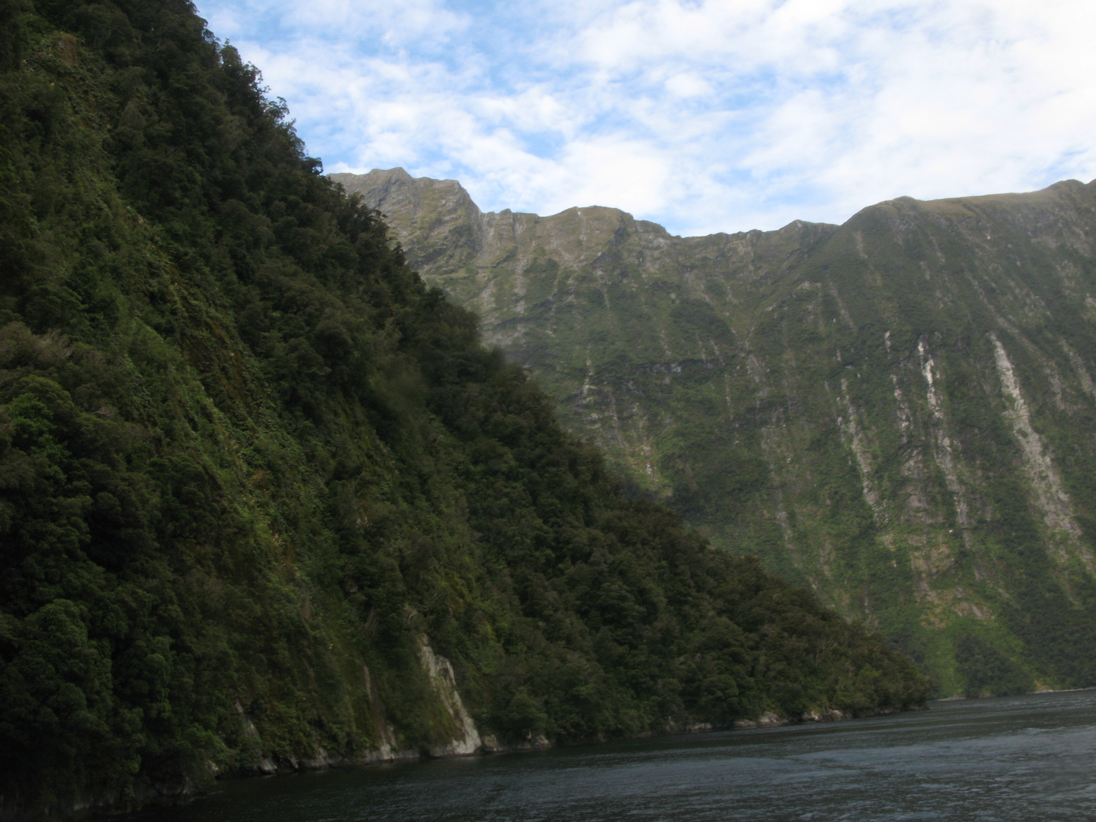
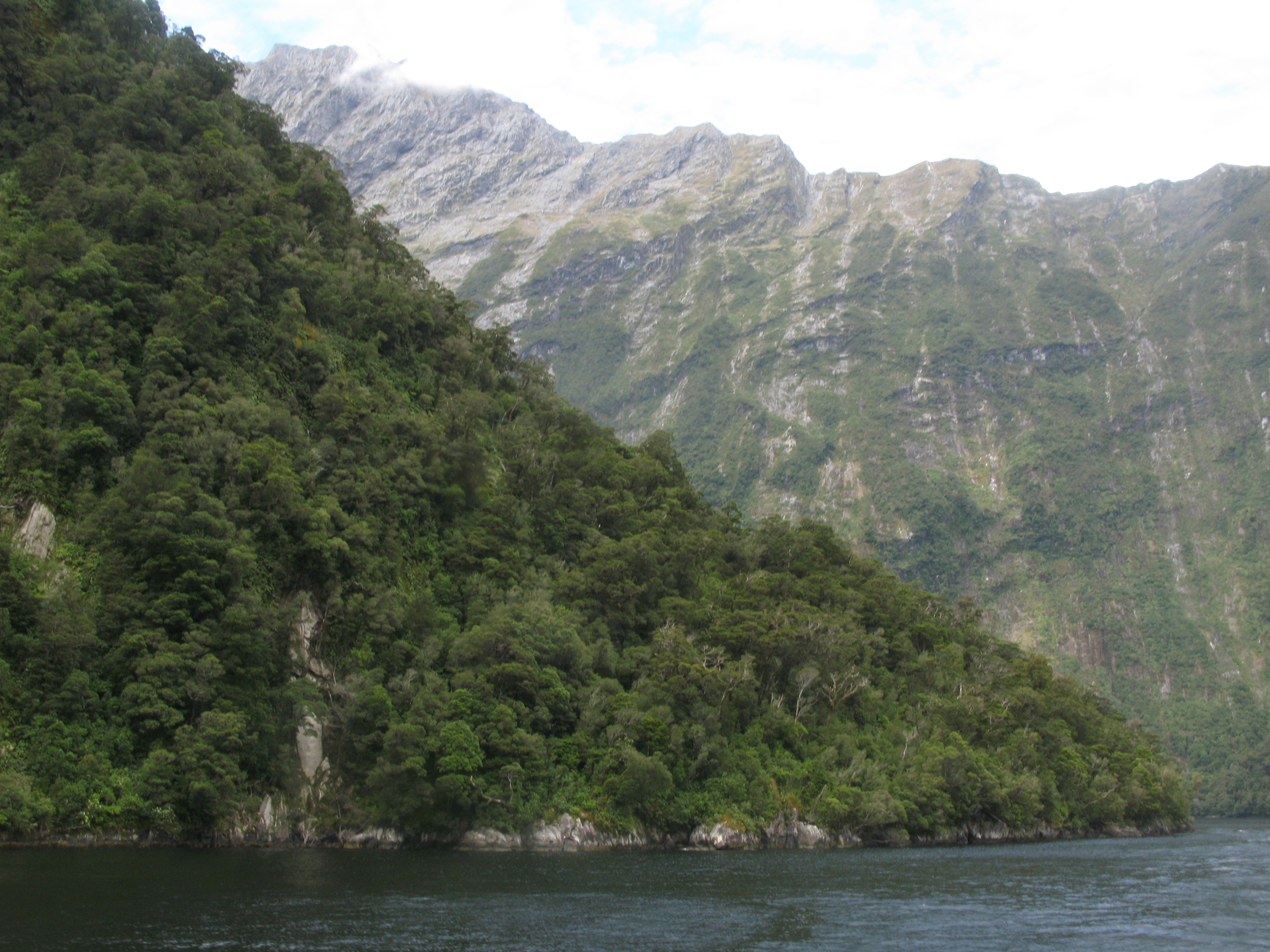
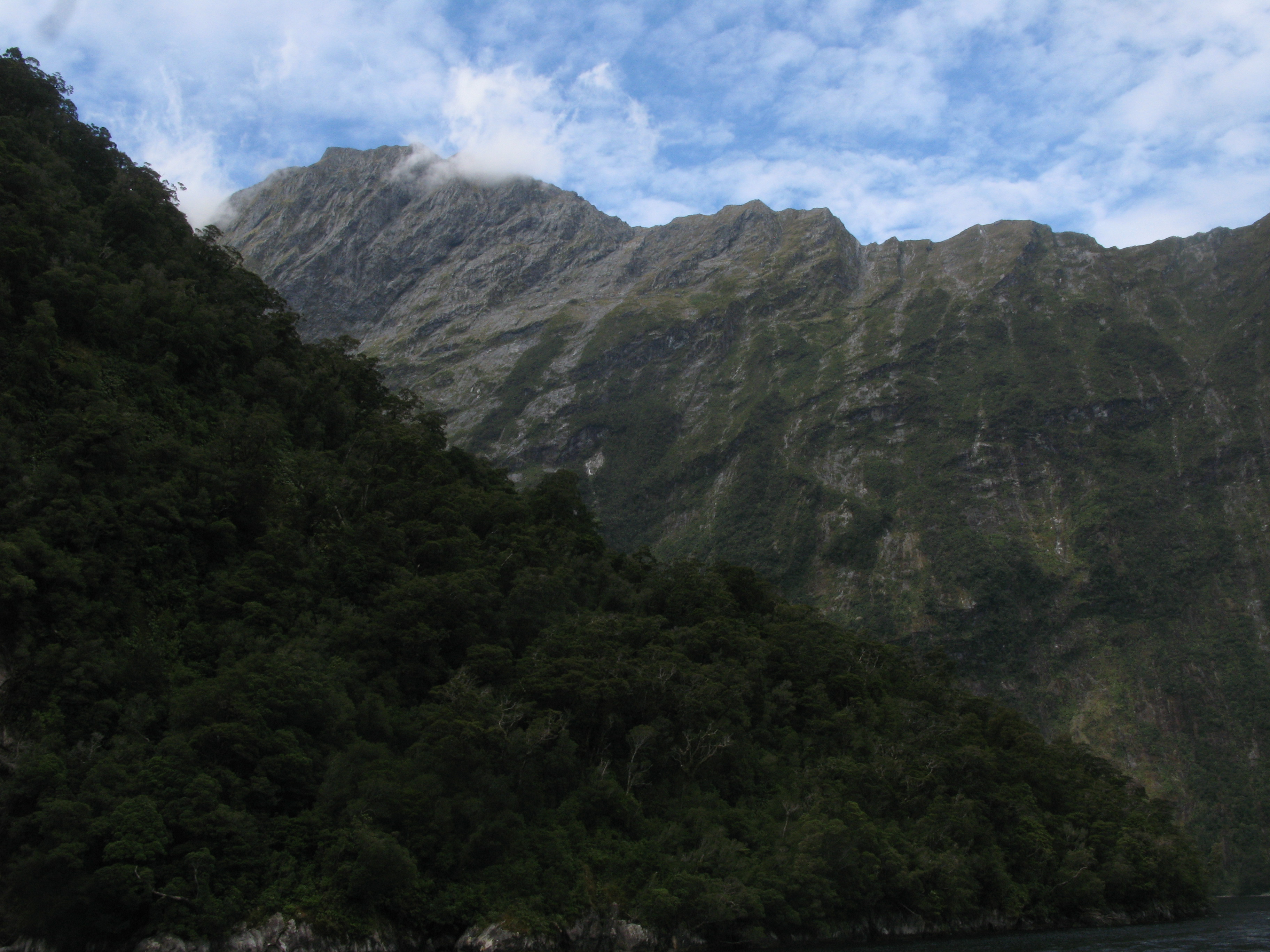
| Slopes below the cloud. |
| Slopes. |
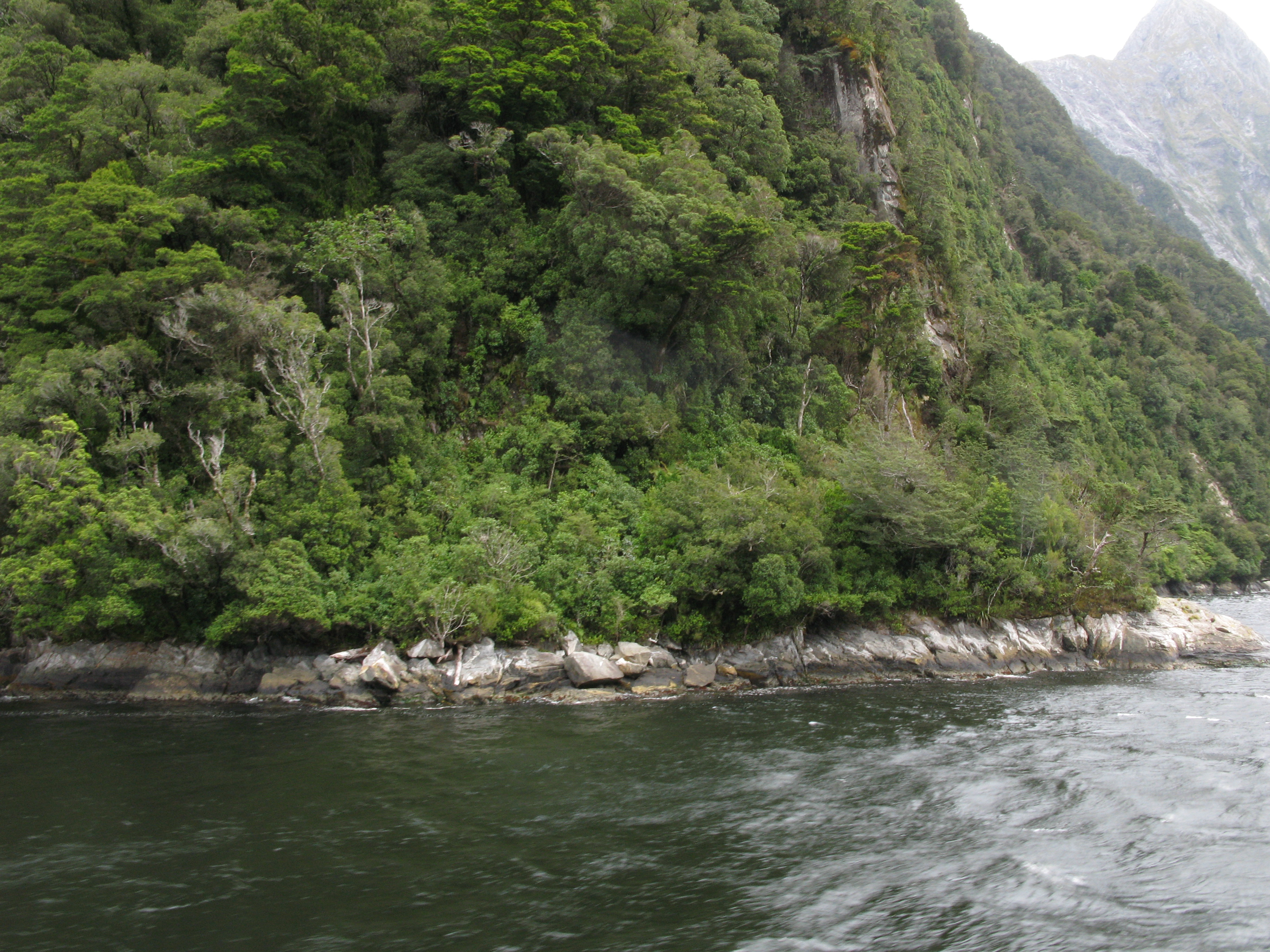
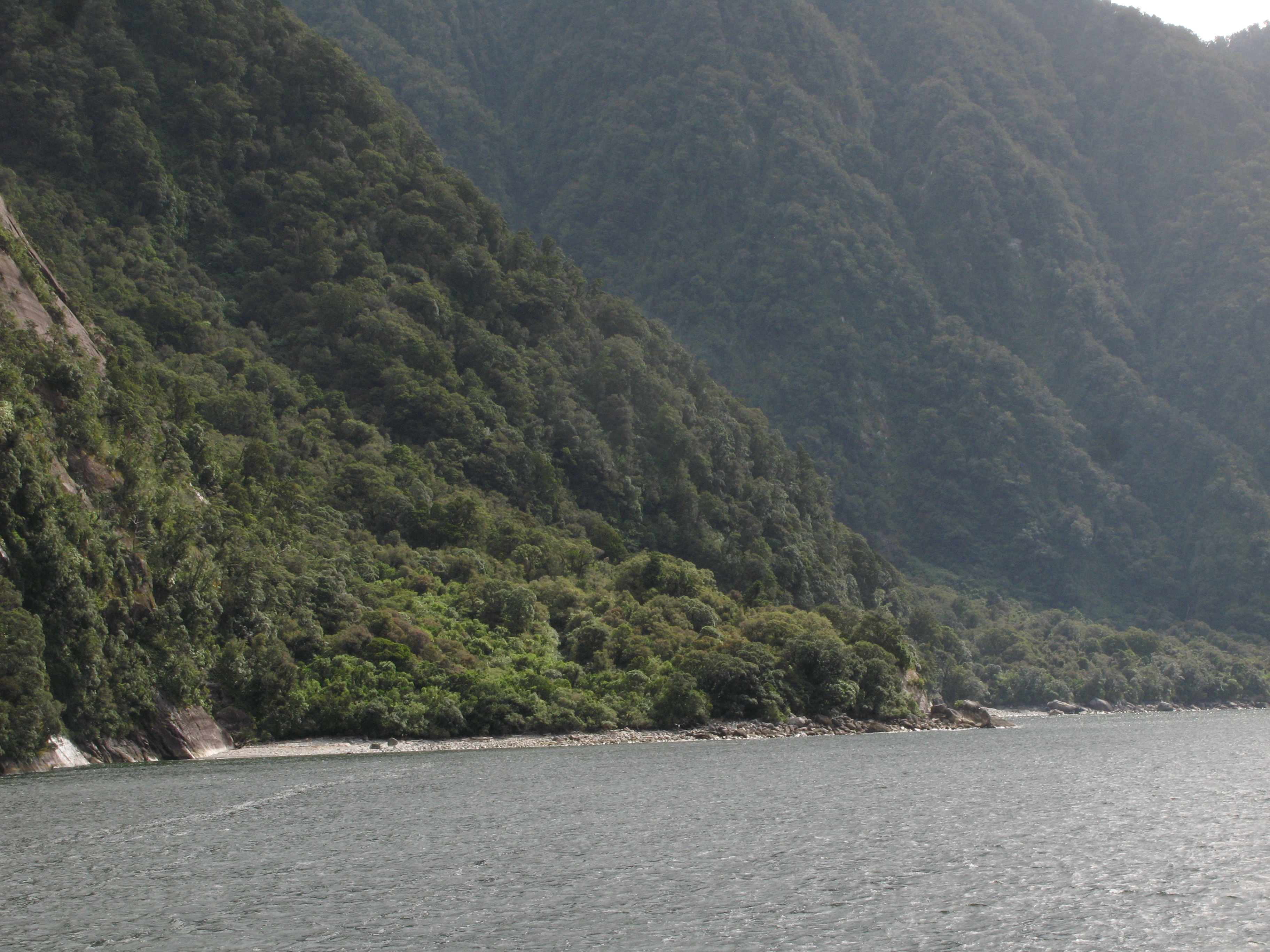
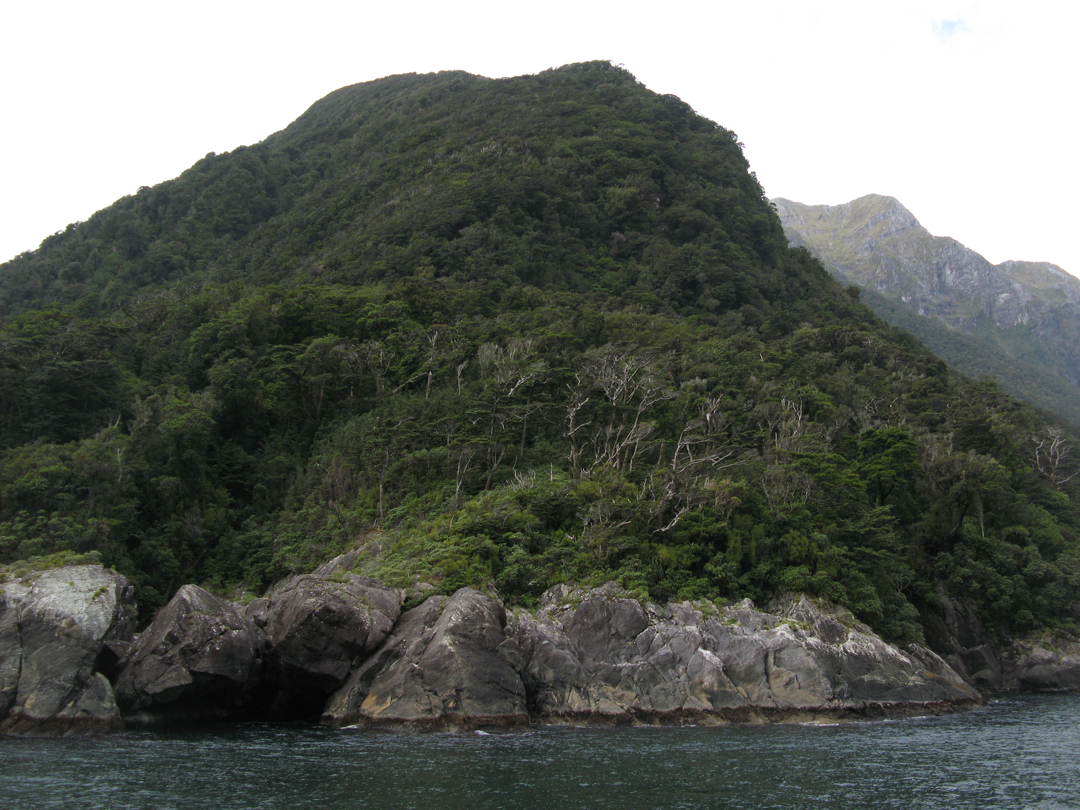
| Vegetation at the water line. |
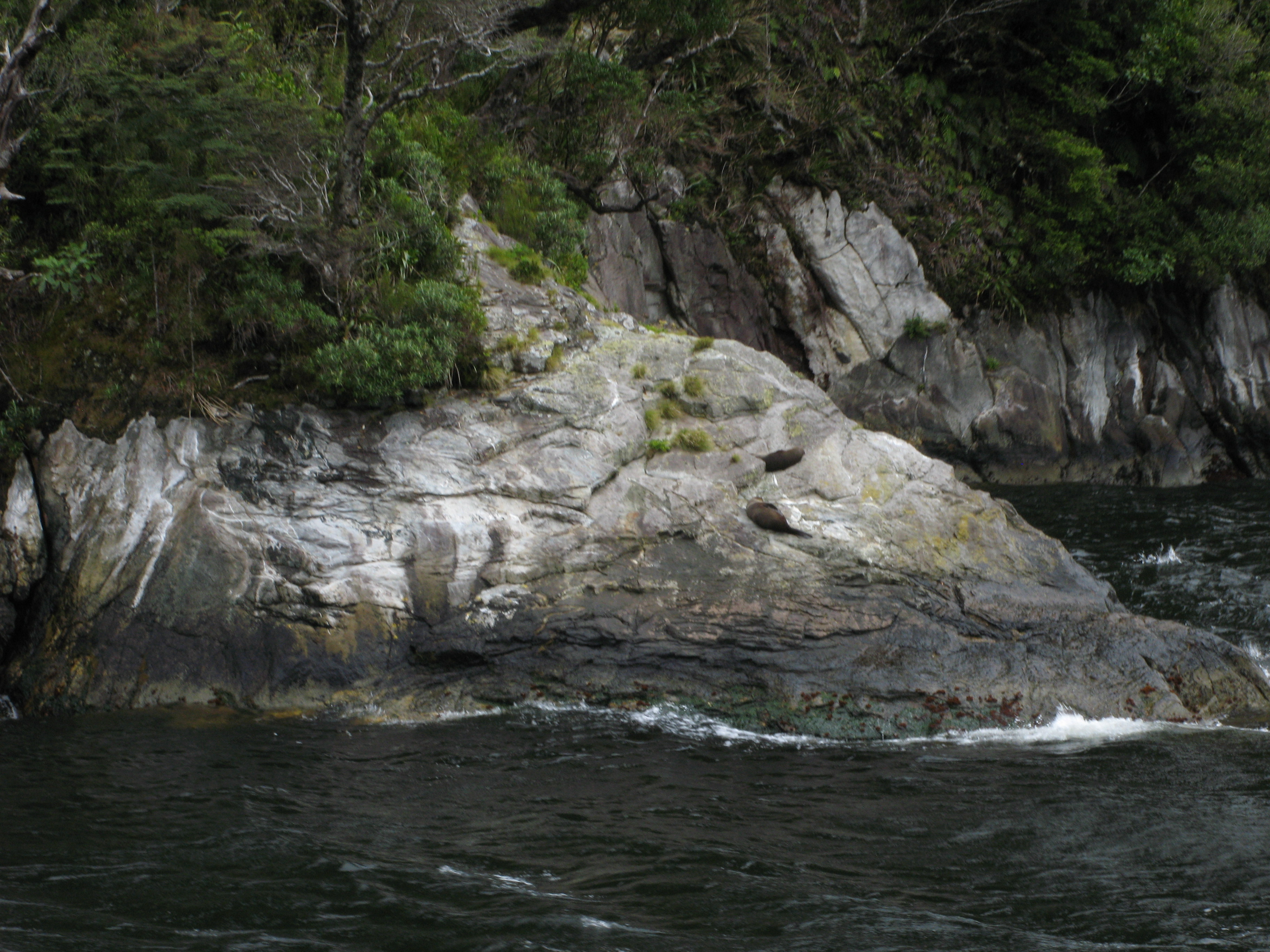
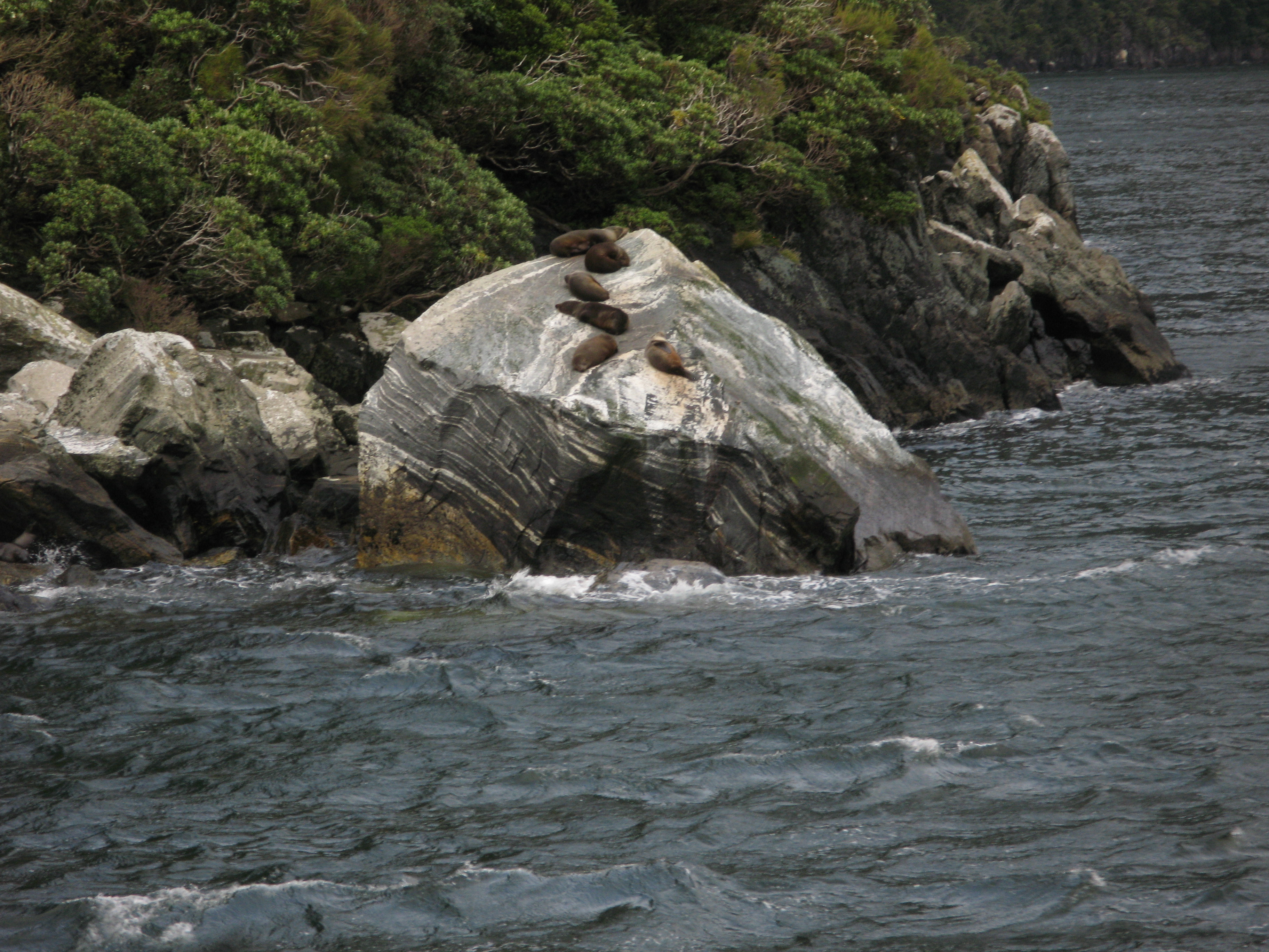
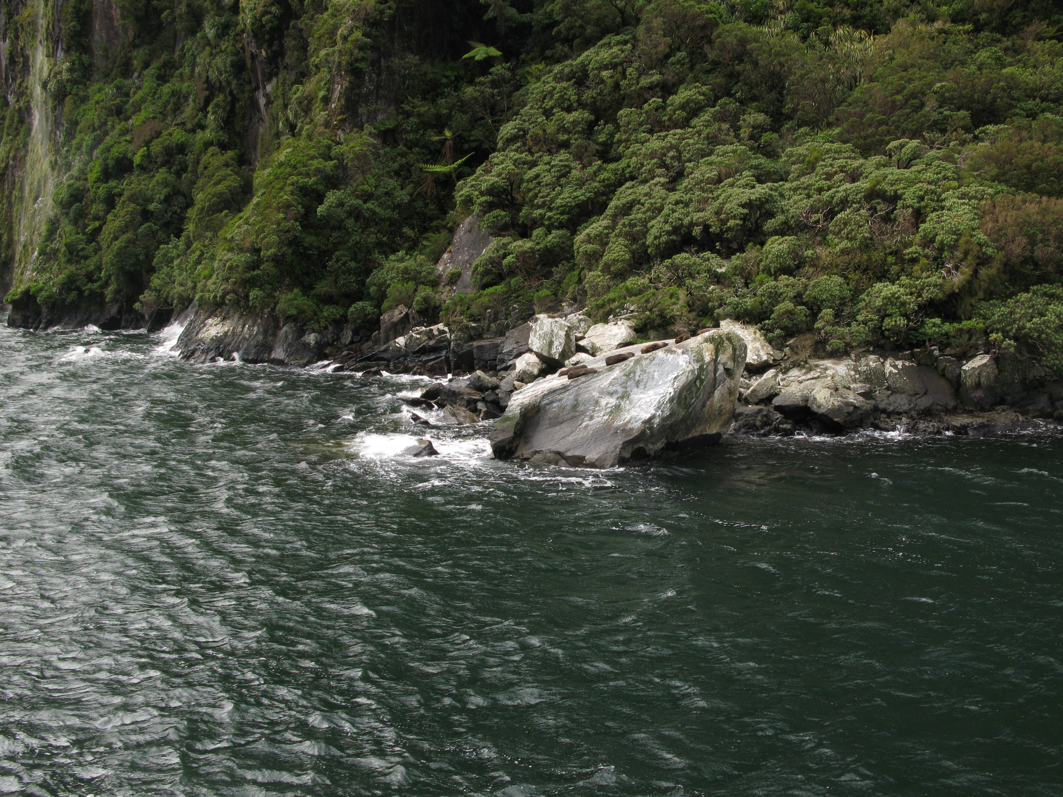
| Juvenile fur seals napping on the rock at Copper Point. |
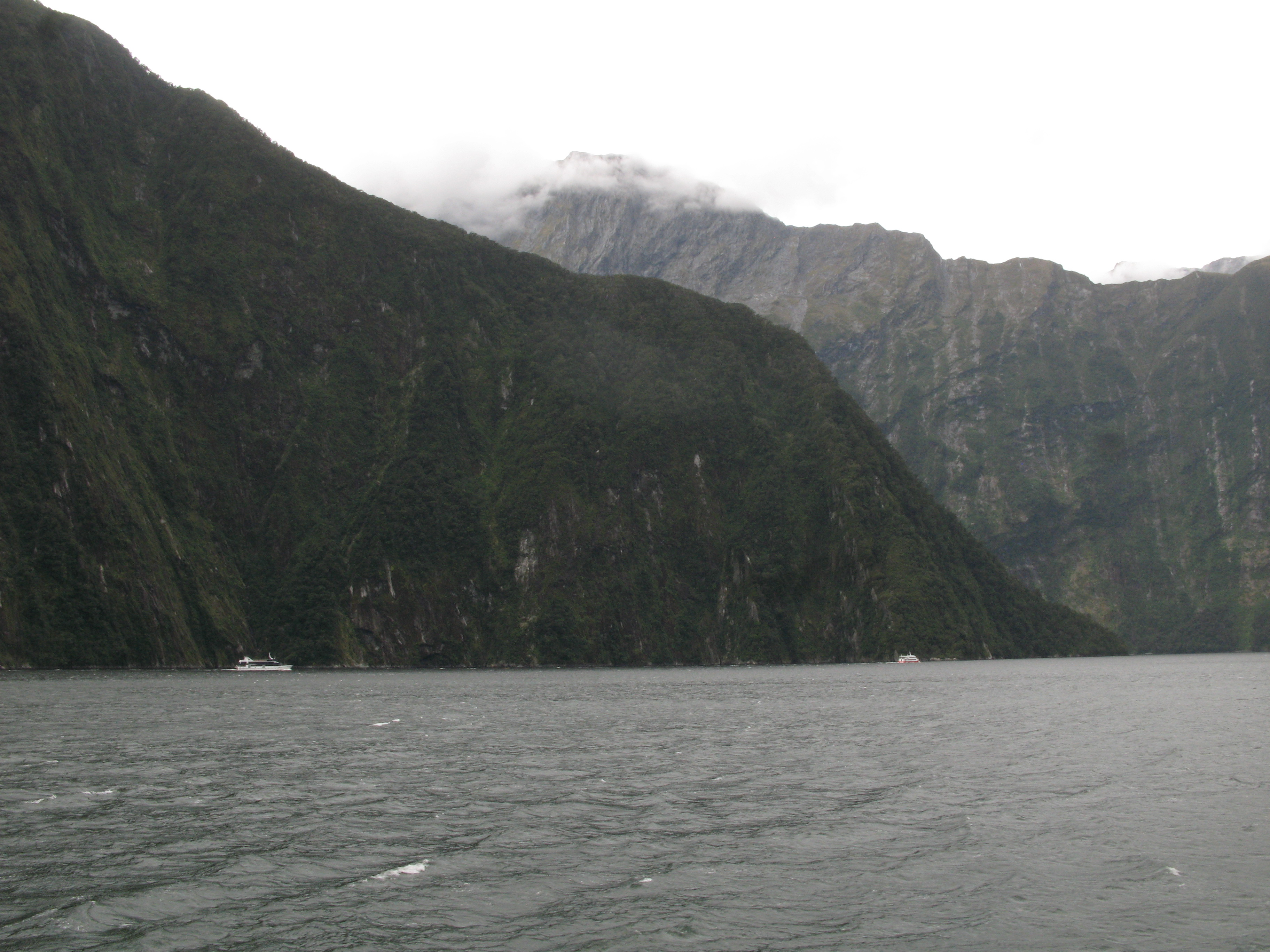
| Traffic in the Sound. All the cruise boats, head out along the south coast and return along the north coast. |
| The schooner and another cruise boat with Stirling Falls and Rover Peak in the distance. |
| Looking back up the Sound. The cloud-draped peak in the distance is Sheerdown. |
| A treefall (or "treevalanche"). Vegetation on the side of the cliffs is precarious, when one tree decides to let go, it tends to take a lot more of them with it. The mass of fallen trees has been pushed to the left (up-fiord) side of the fall by the tide. |
| The top of the treefall. |
| Another view of the treefall. |
| Looking back down the Sound. At left is Rover Peak; at right, the Lion. Between them is Stirling Gully and the Stirling Falls. |
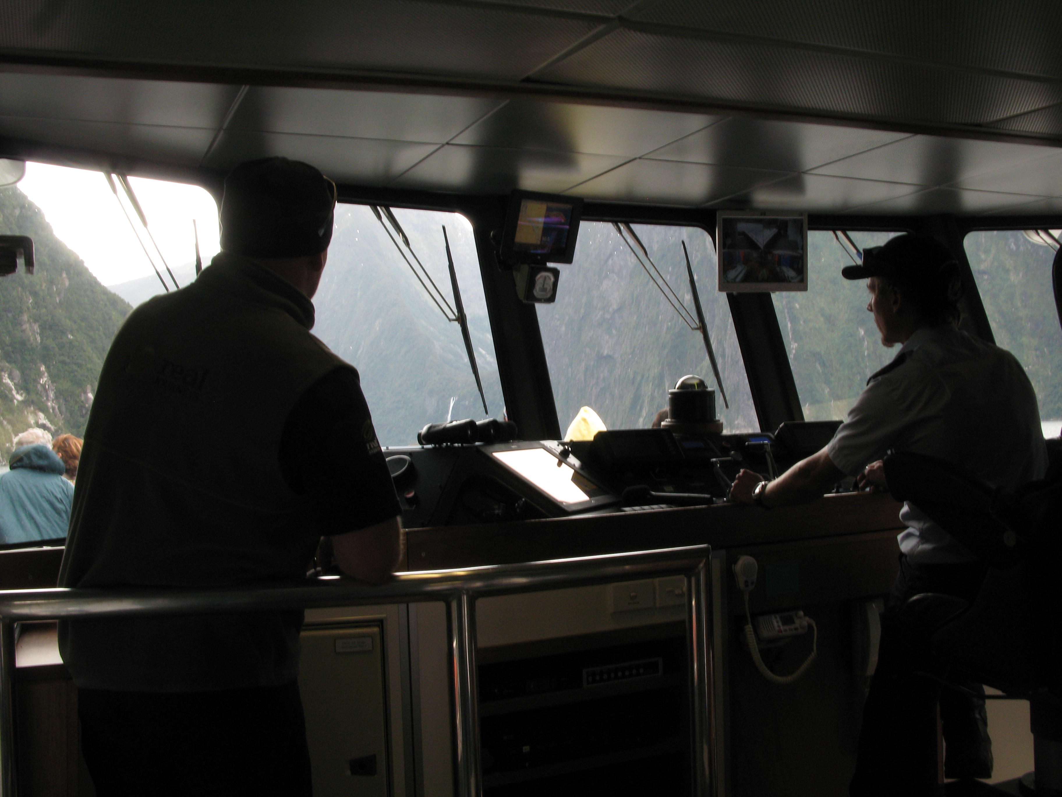
| Our crew. |
| Looking down the Sound, again. The schooner is making good time out of the fiord. |
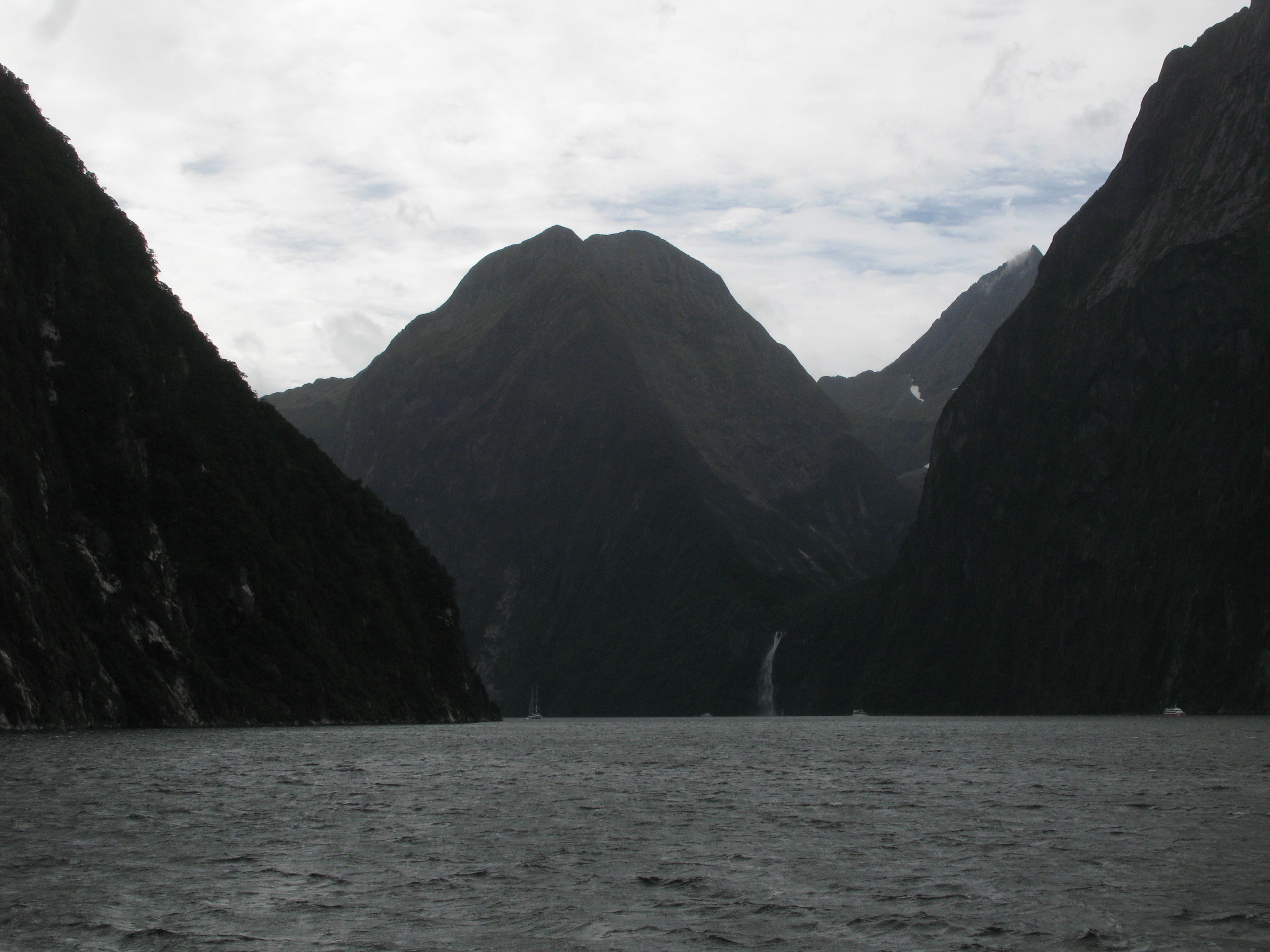
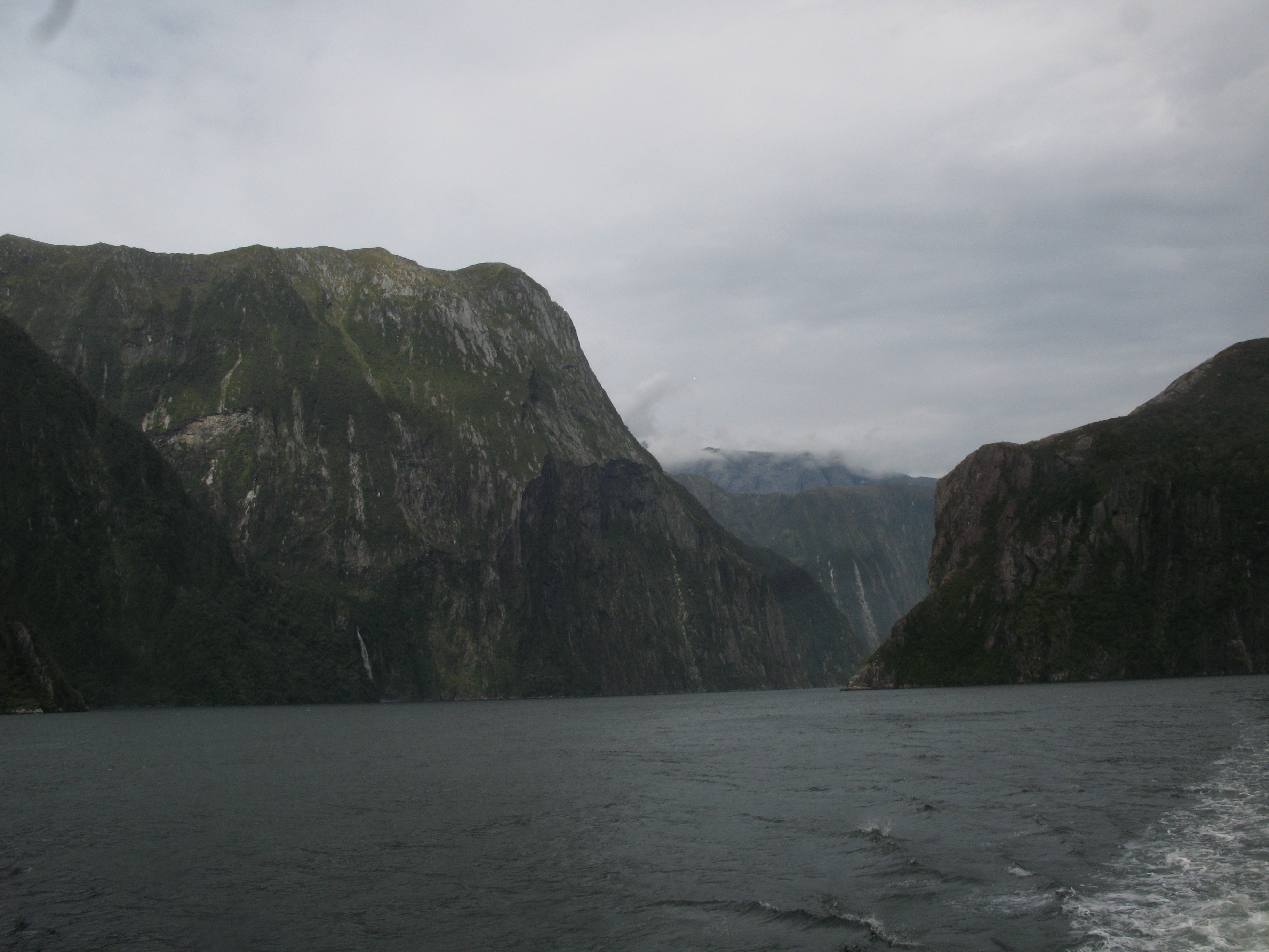
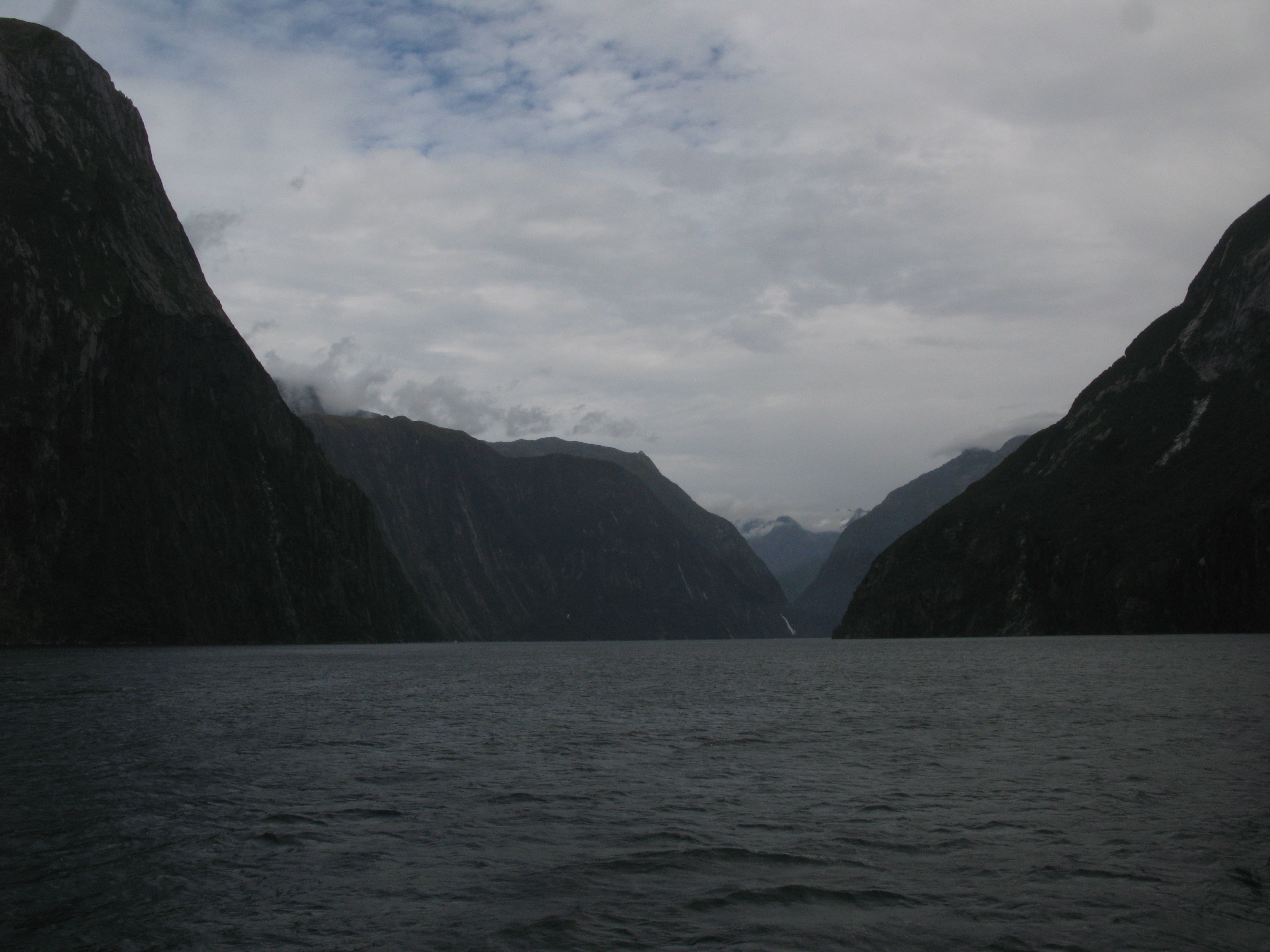
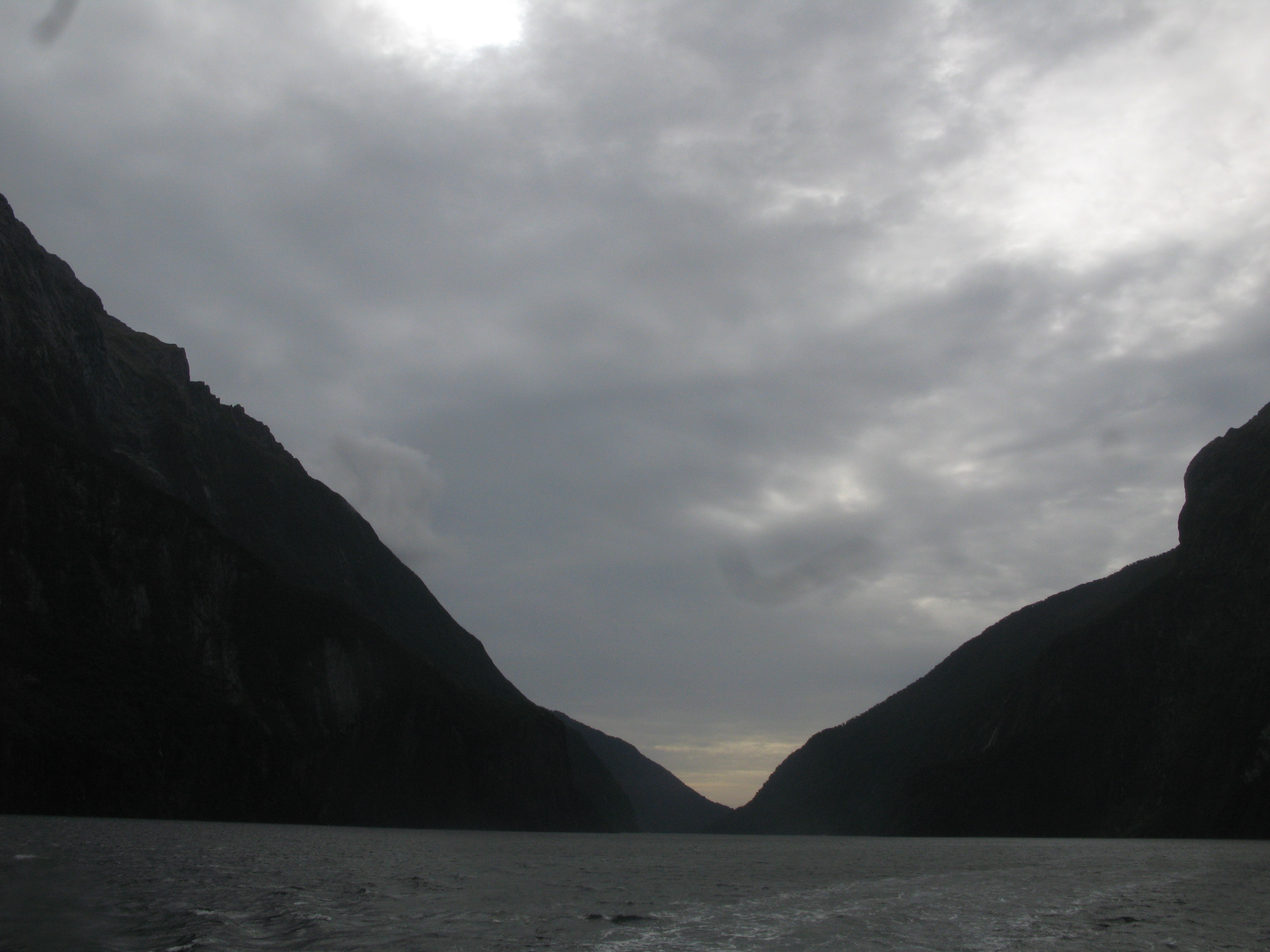
| Looking down the Sound, again. Both people here and at the Marlborough Sounds back in Picton were insistent that flooded glacial valleys were fiords (like Milford Sound) while flooded river valleys. It seems like a rather artificial distinction to me. |
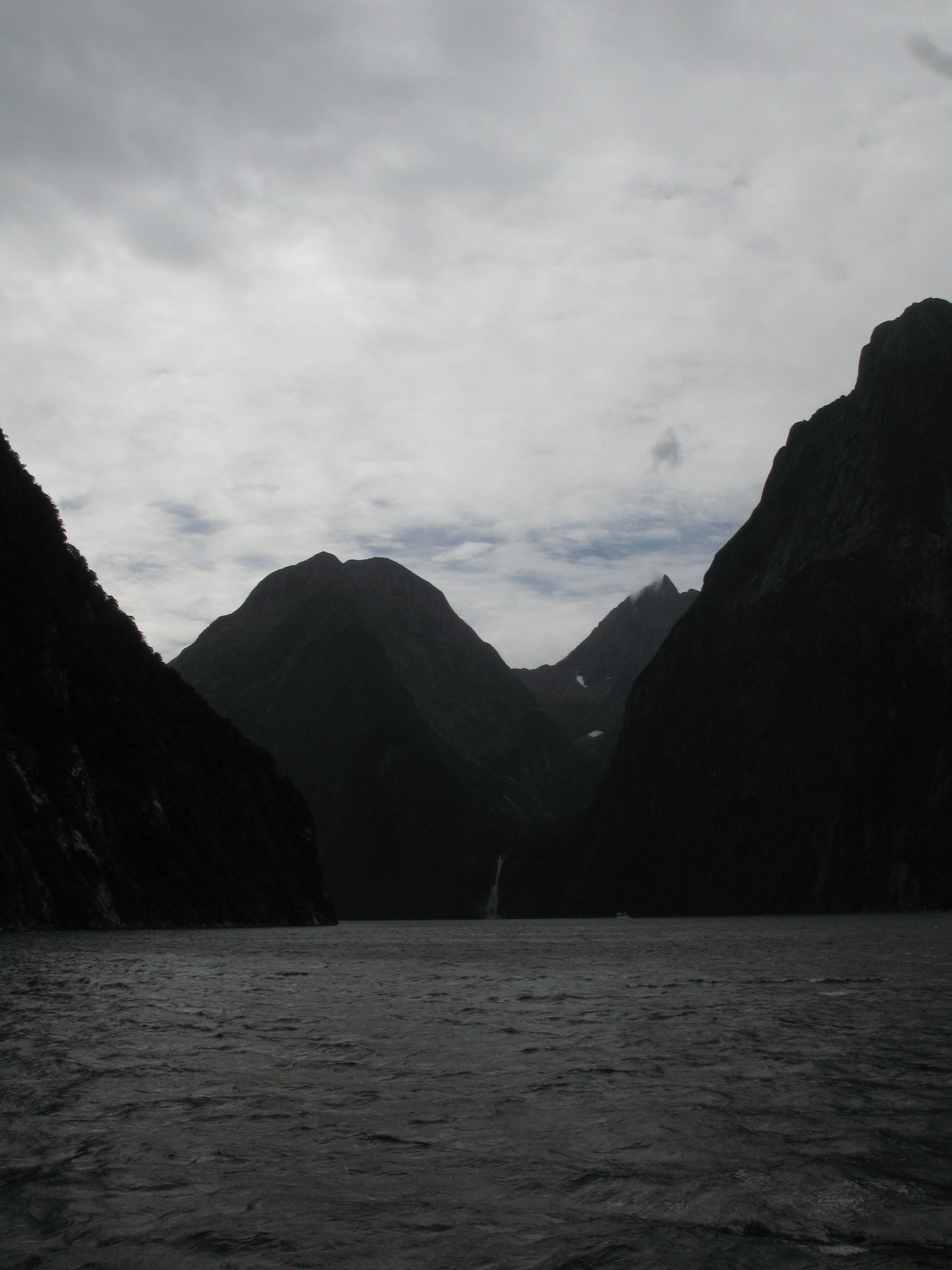
| And up the fiord. The nearer ridge is The Lion, with Cascade Peak behind it (and then the much taller but more distant Sheerdown in the distance). |
| Another treefall. |
| Boats heading back into port (as I've said: along the north shore). |
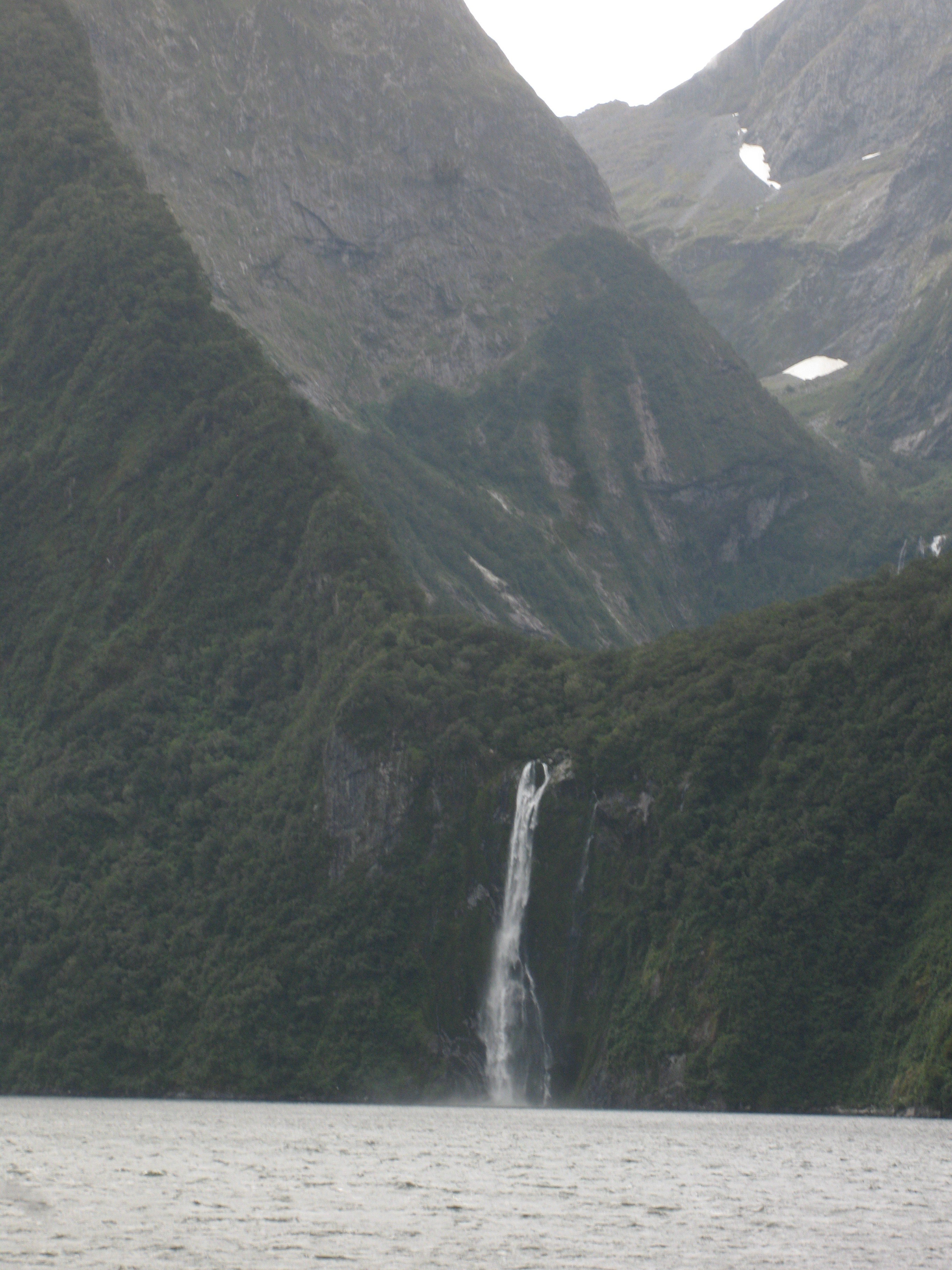
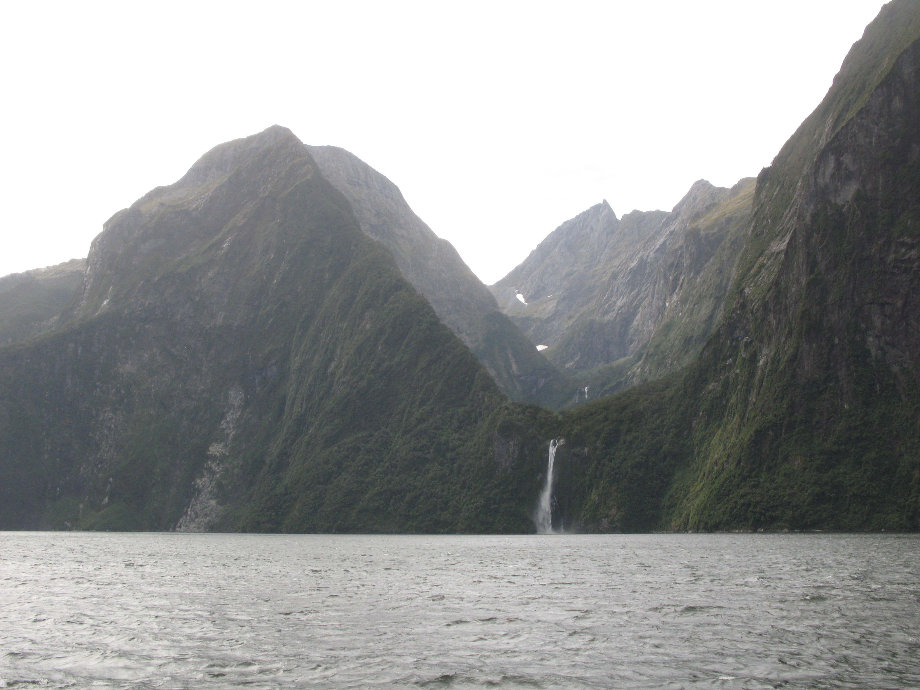
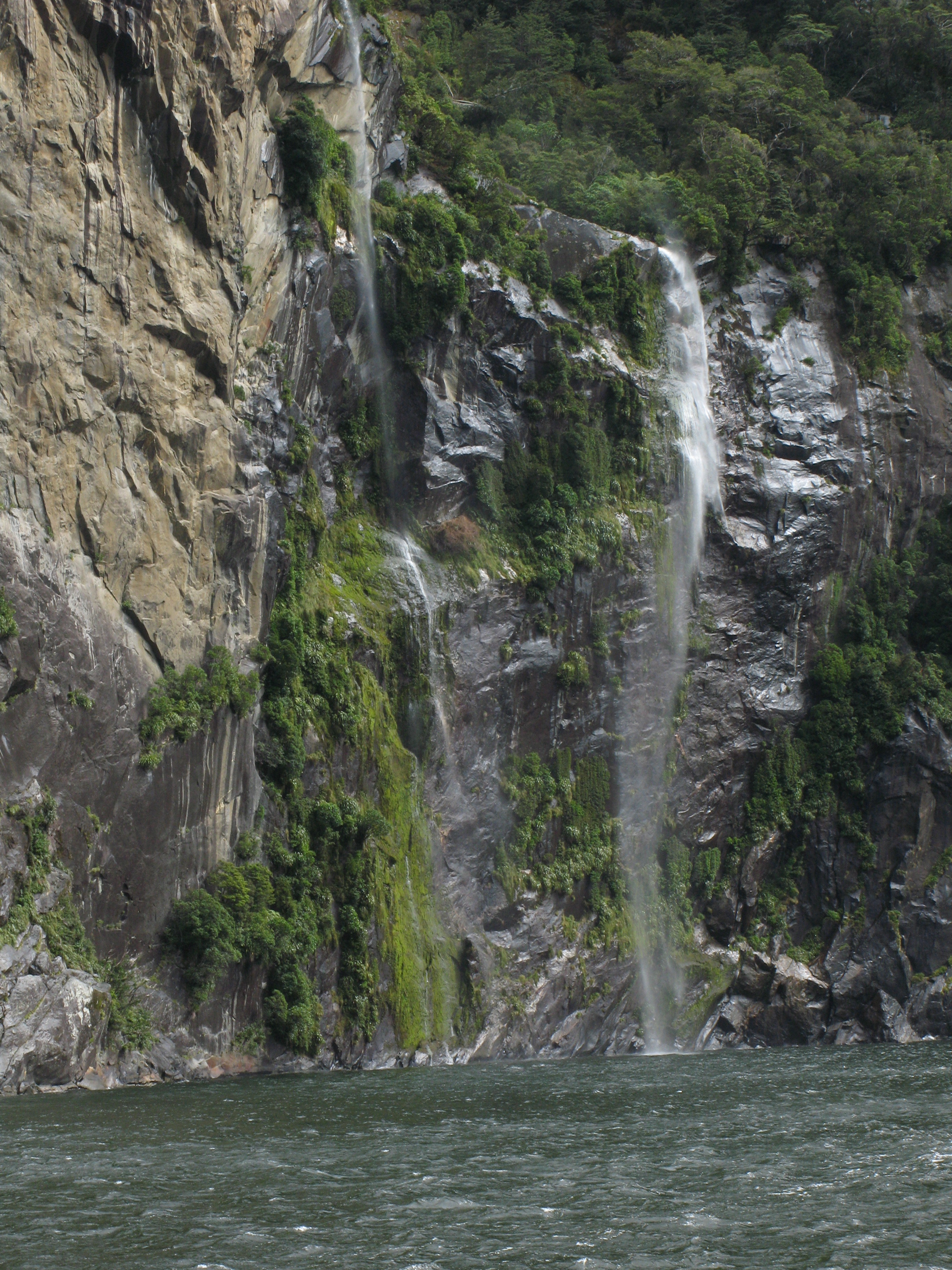
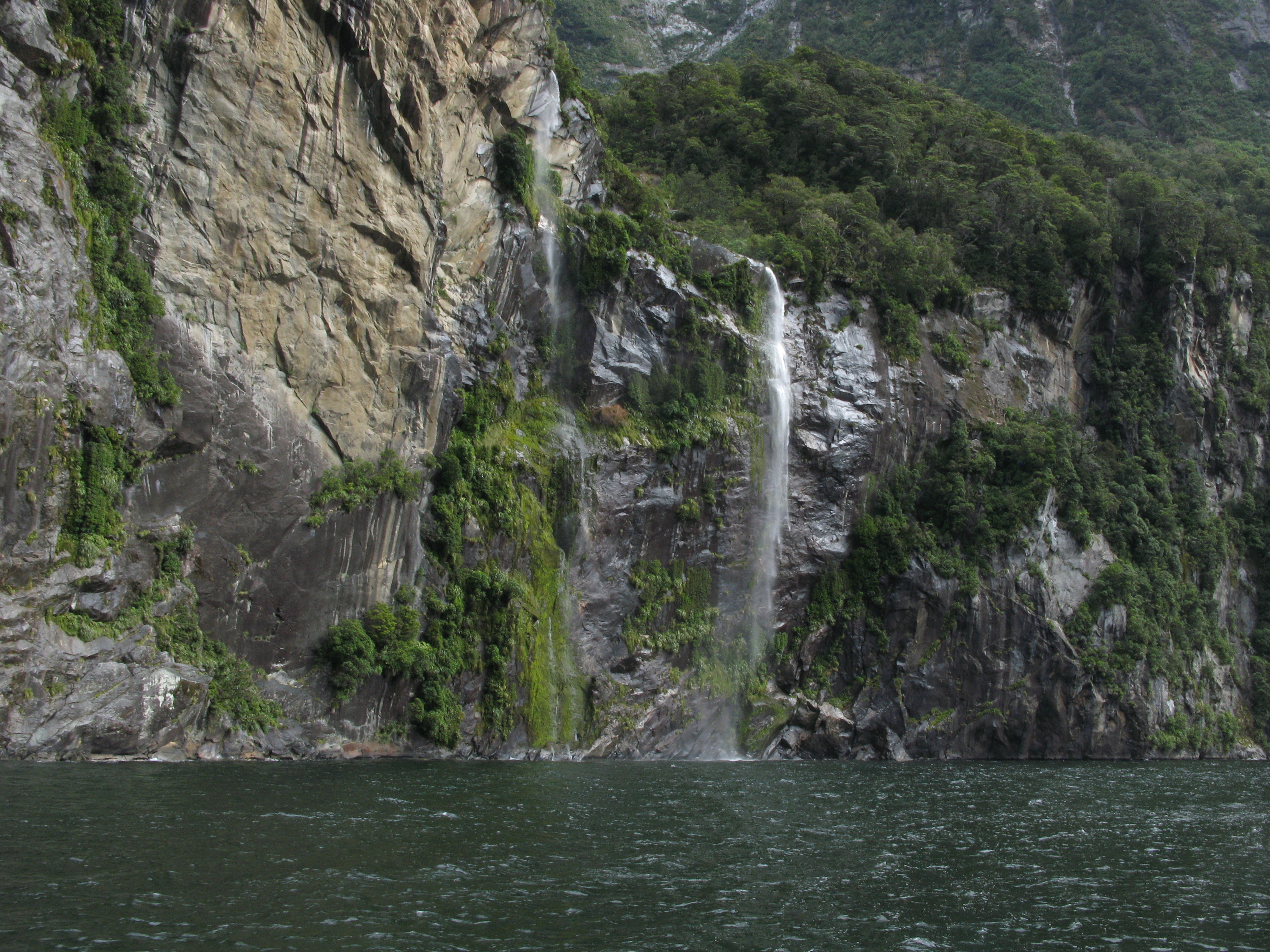
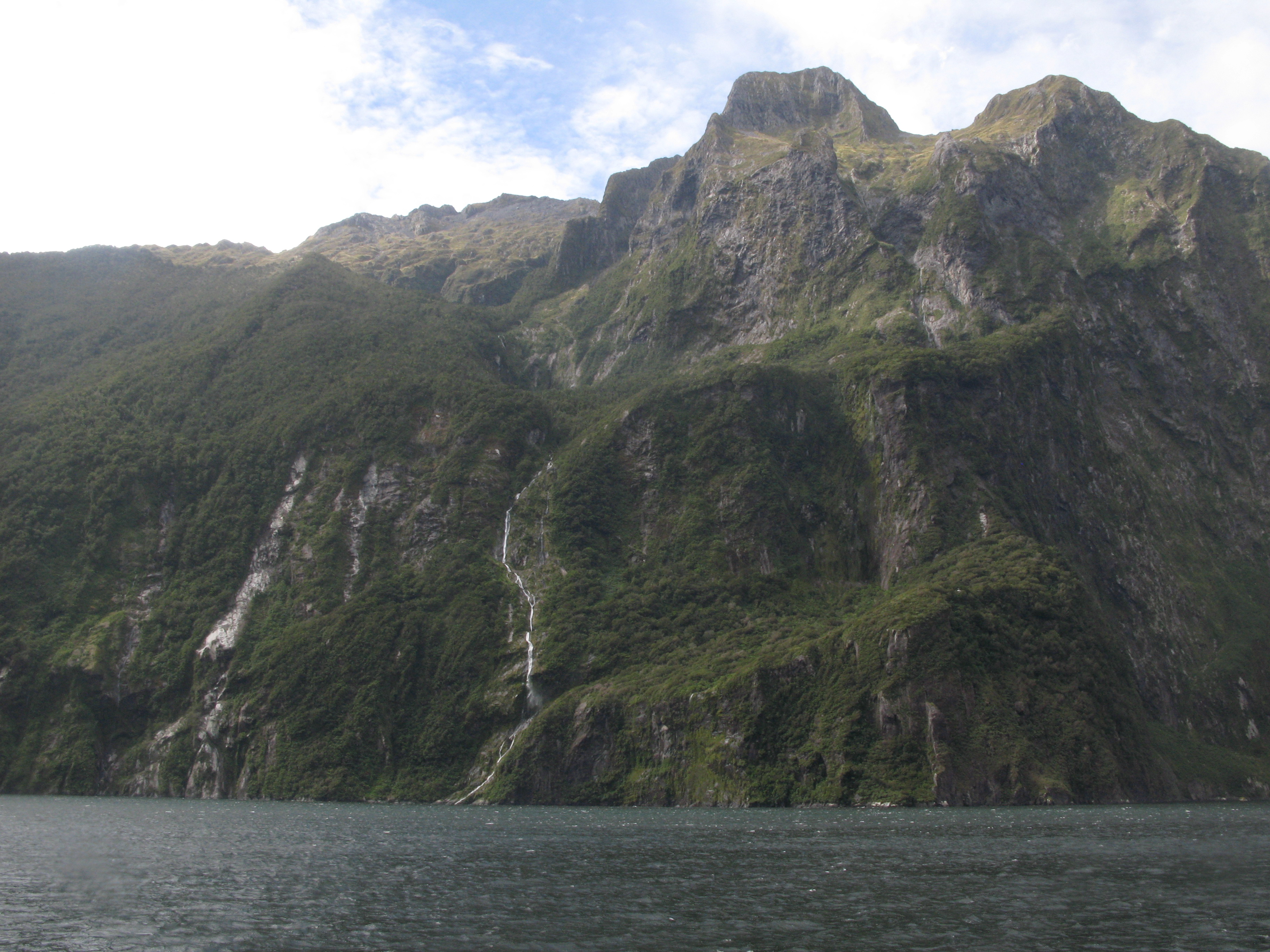
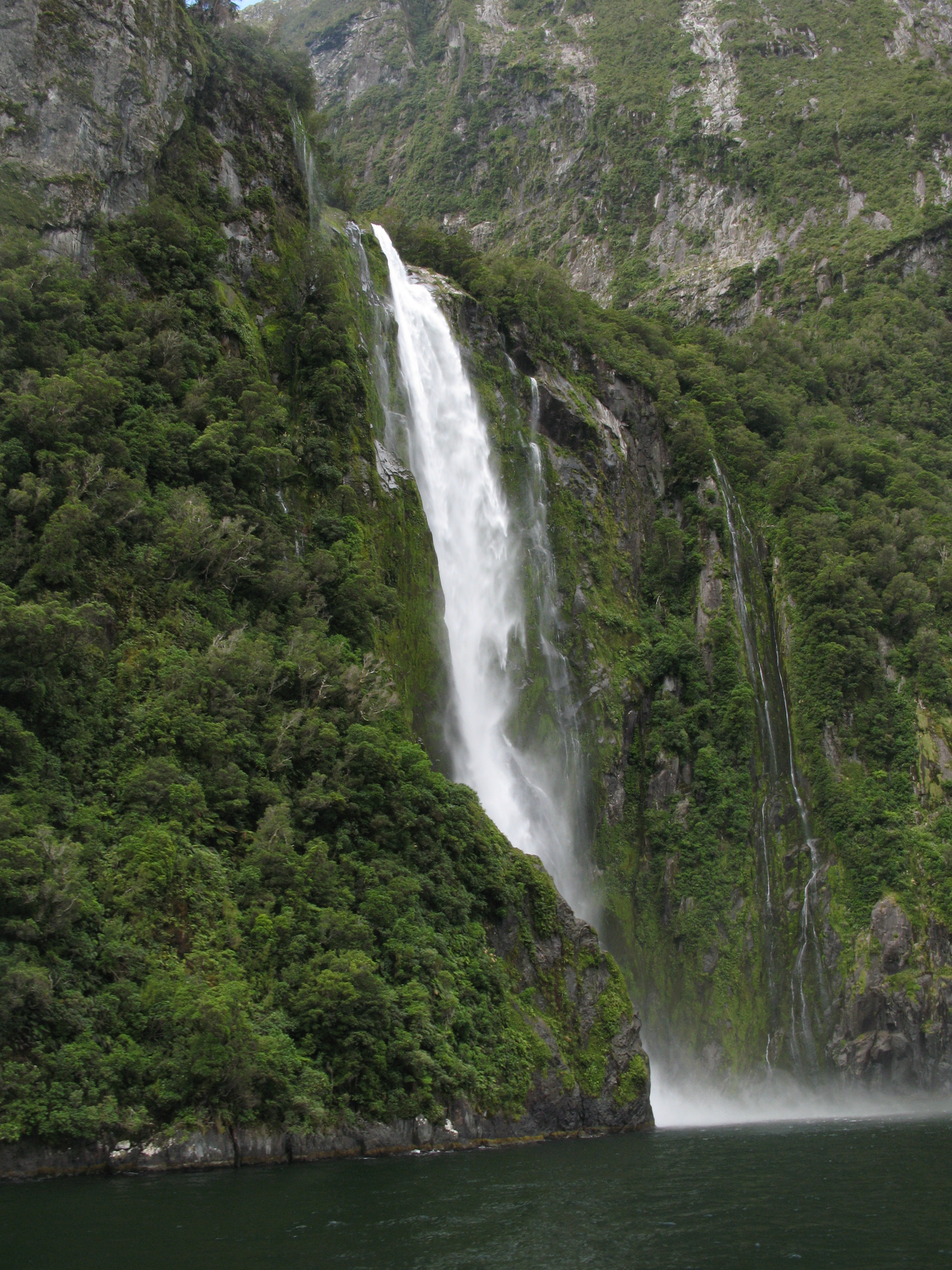
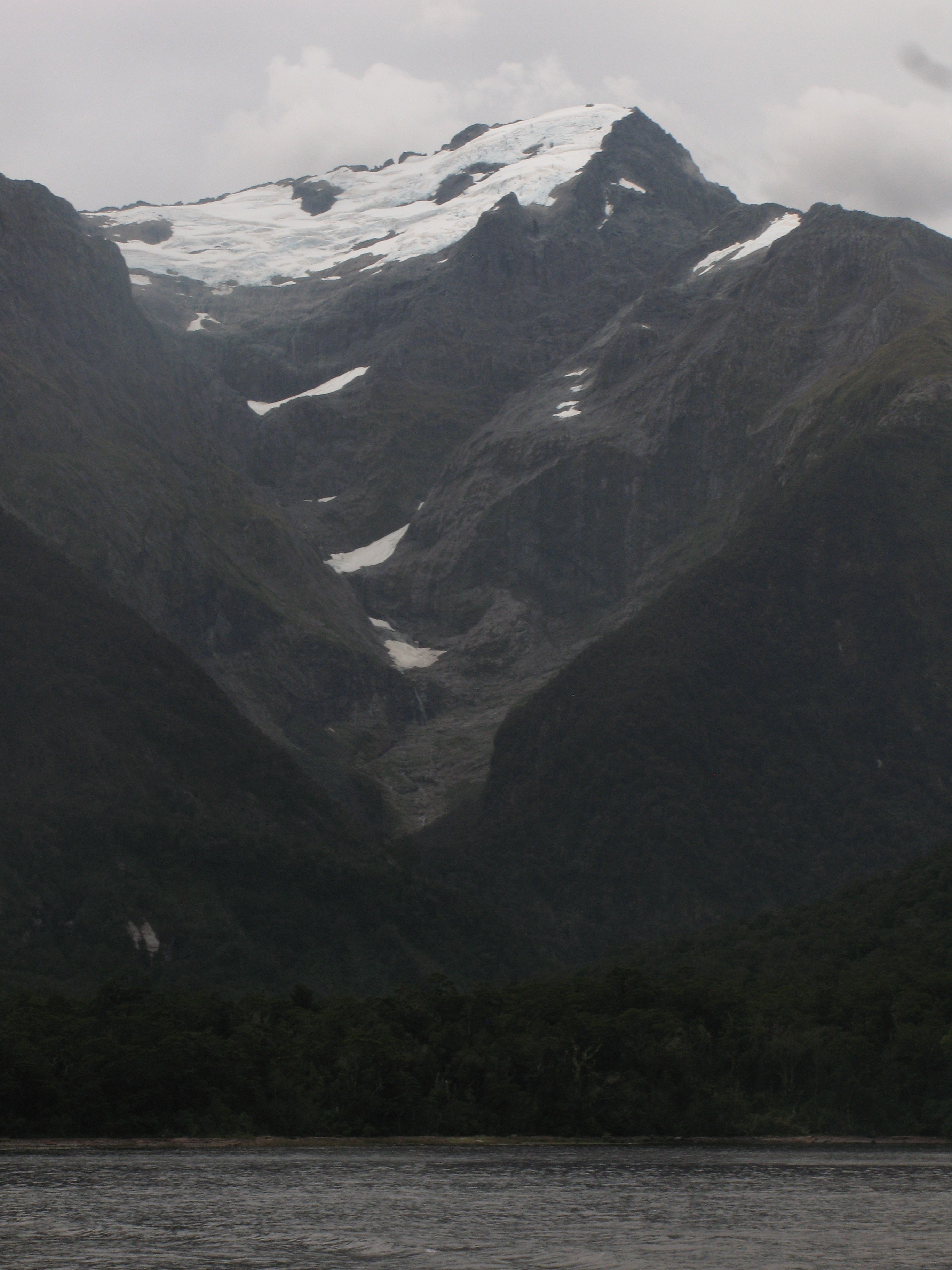
| Stirling Falls at the end of Stirling Gulley. The gulley is U-shaped, indicating a glacial valley. |
| Another boat heads in, below Rover Peak. |
| Stirling Falls, again. |
| Stirling Falls, again, trying to find the right exposure. |
| Schooner heading out. |
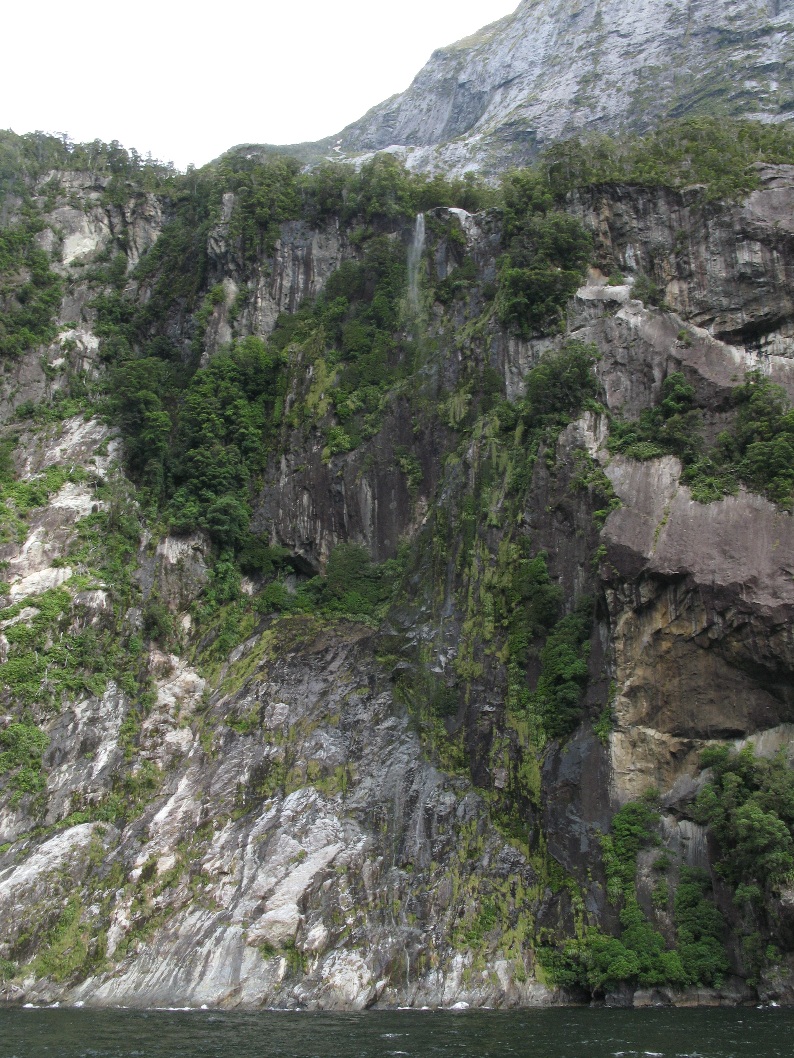
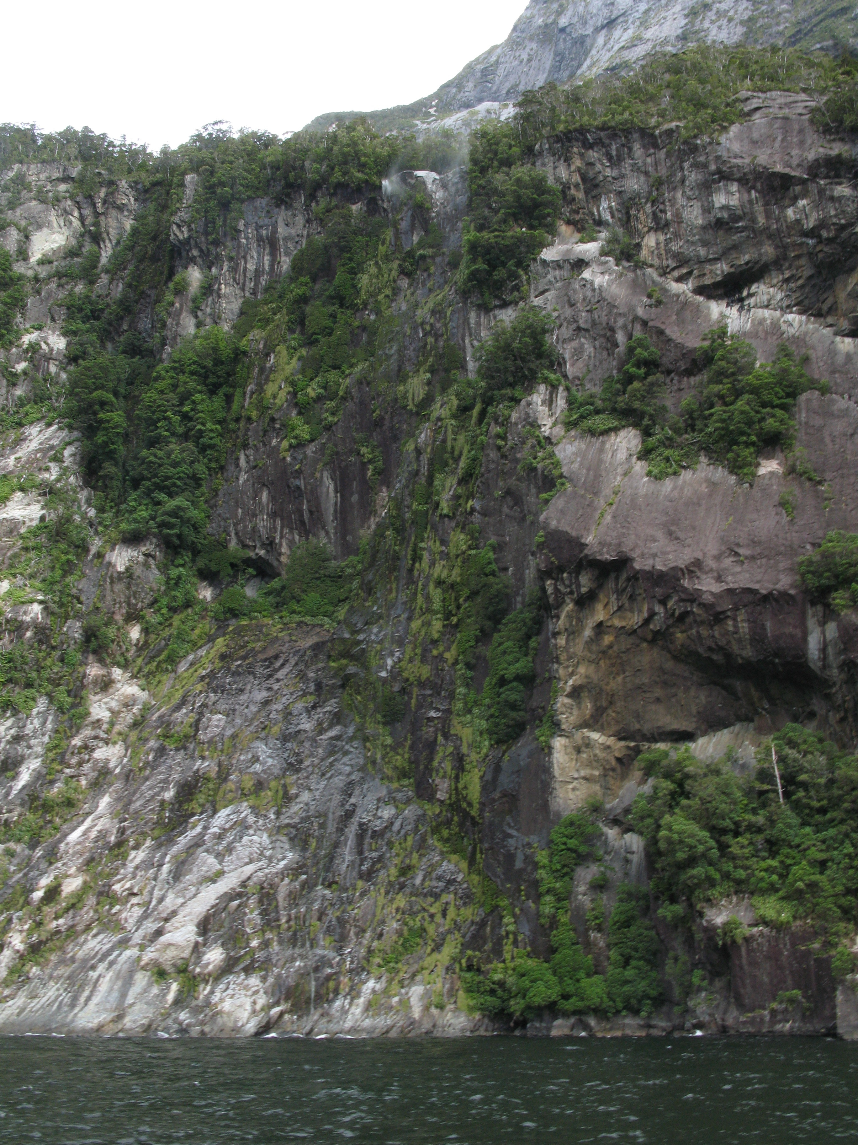
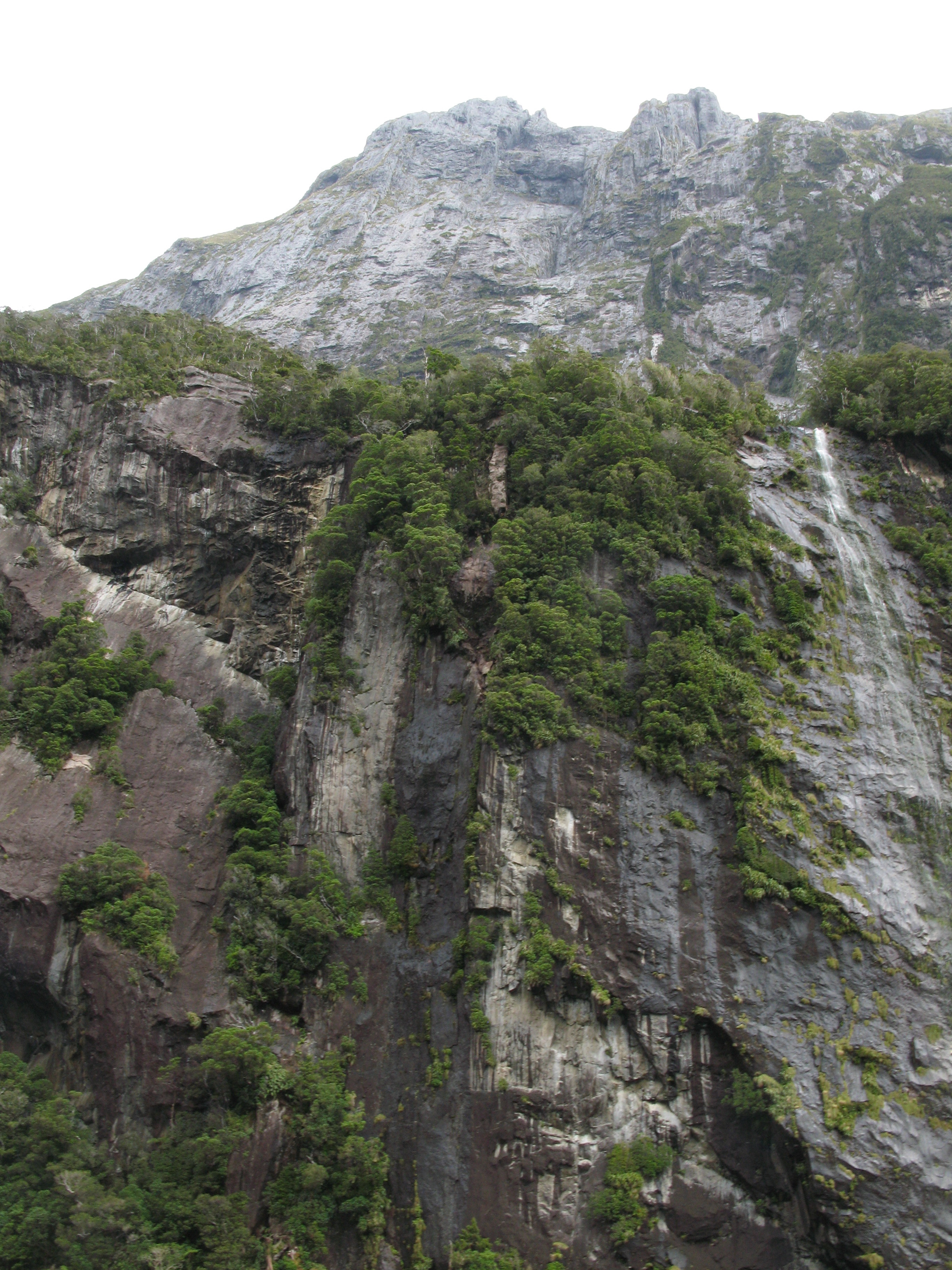
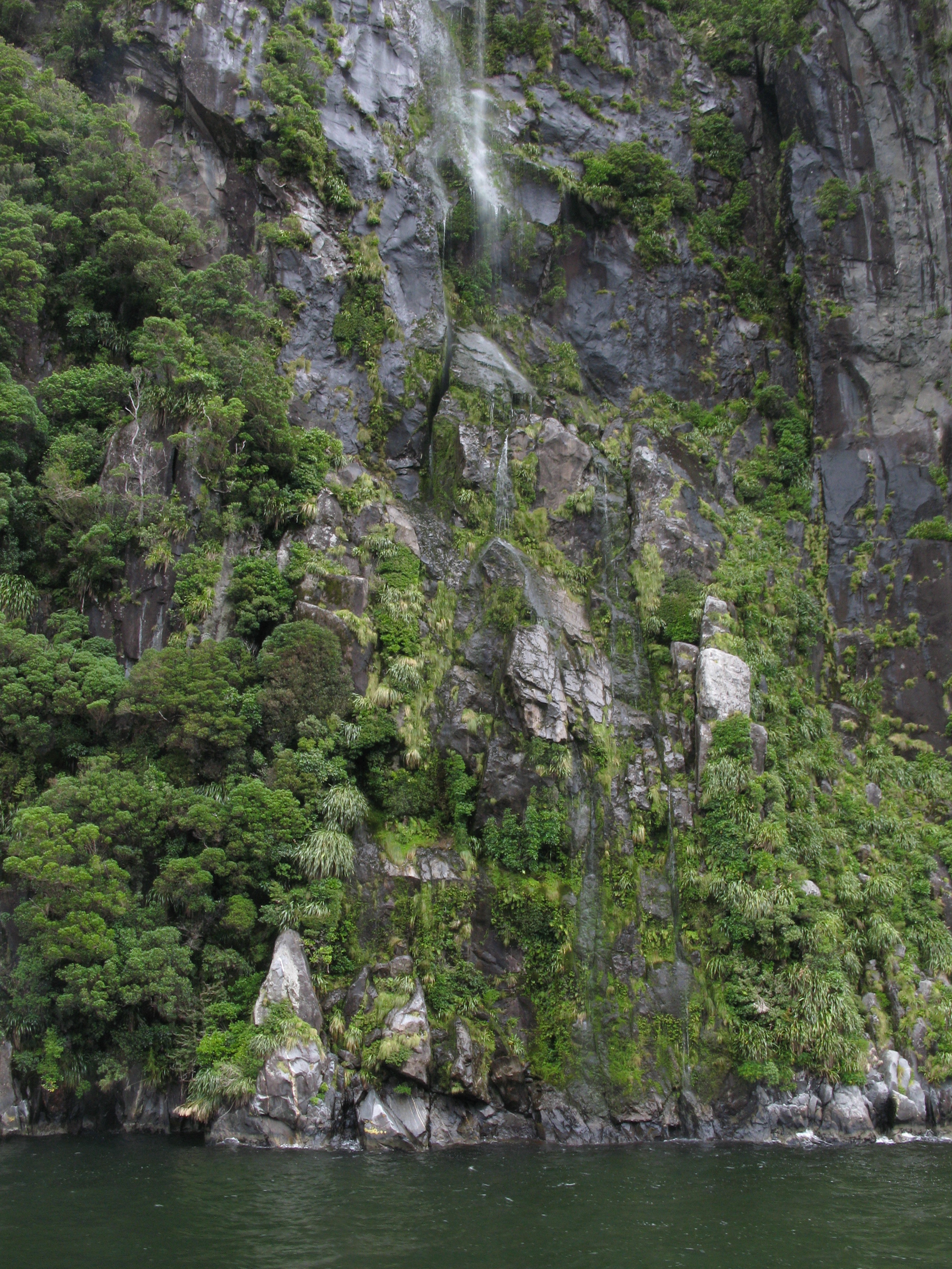
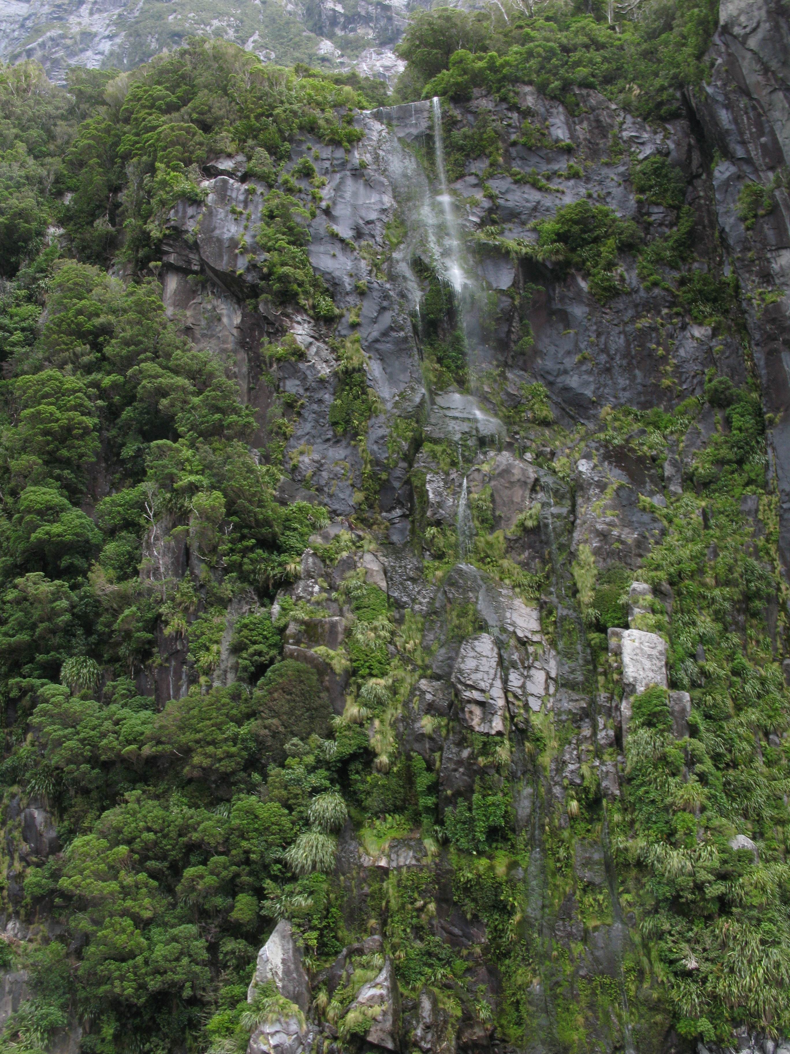
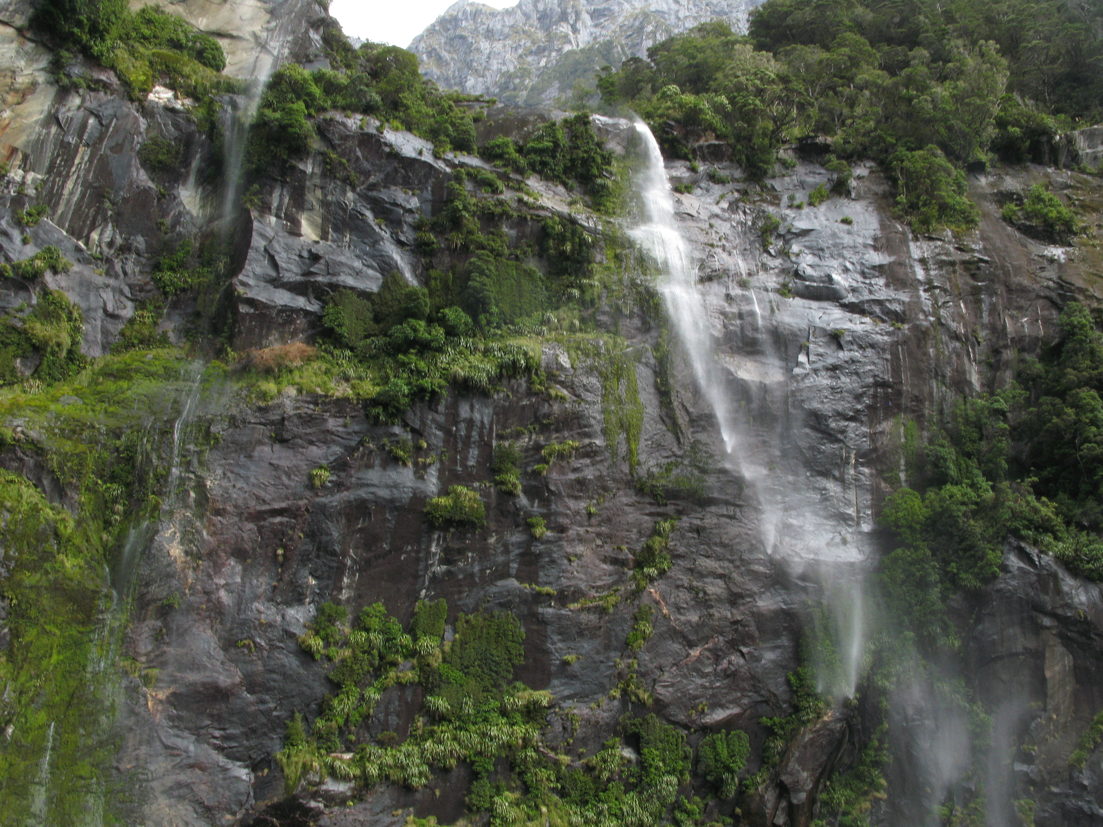
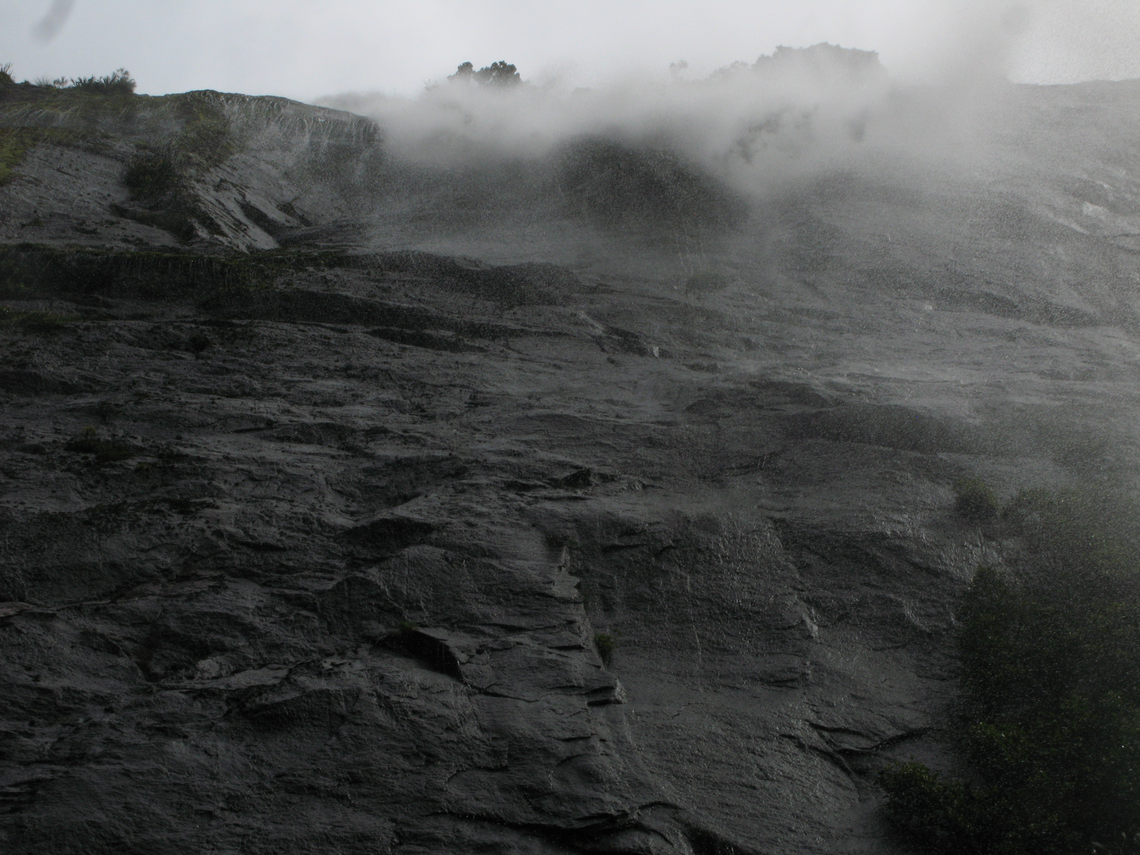
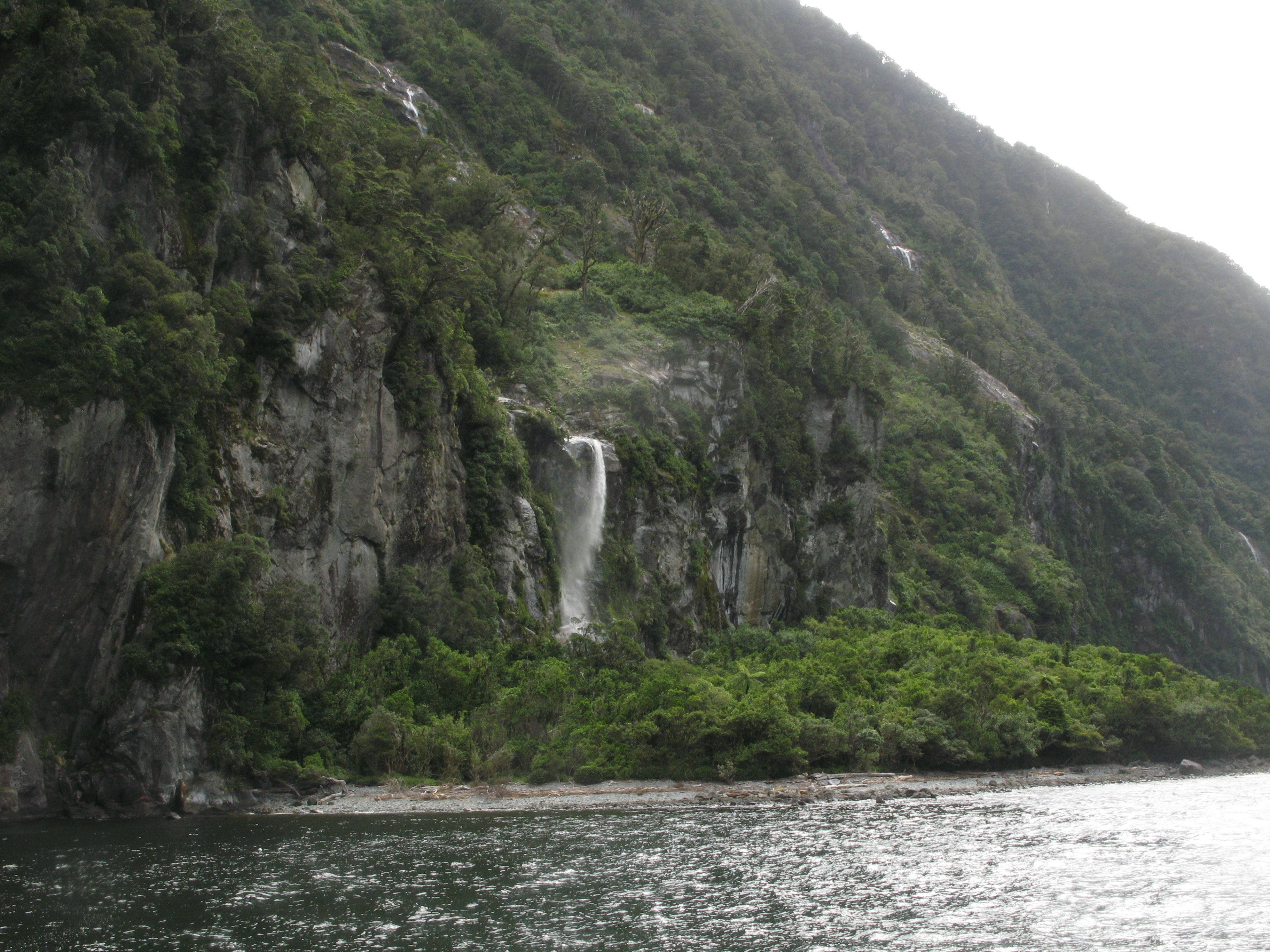
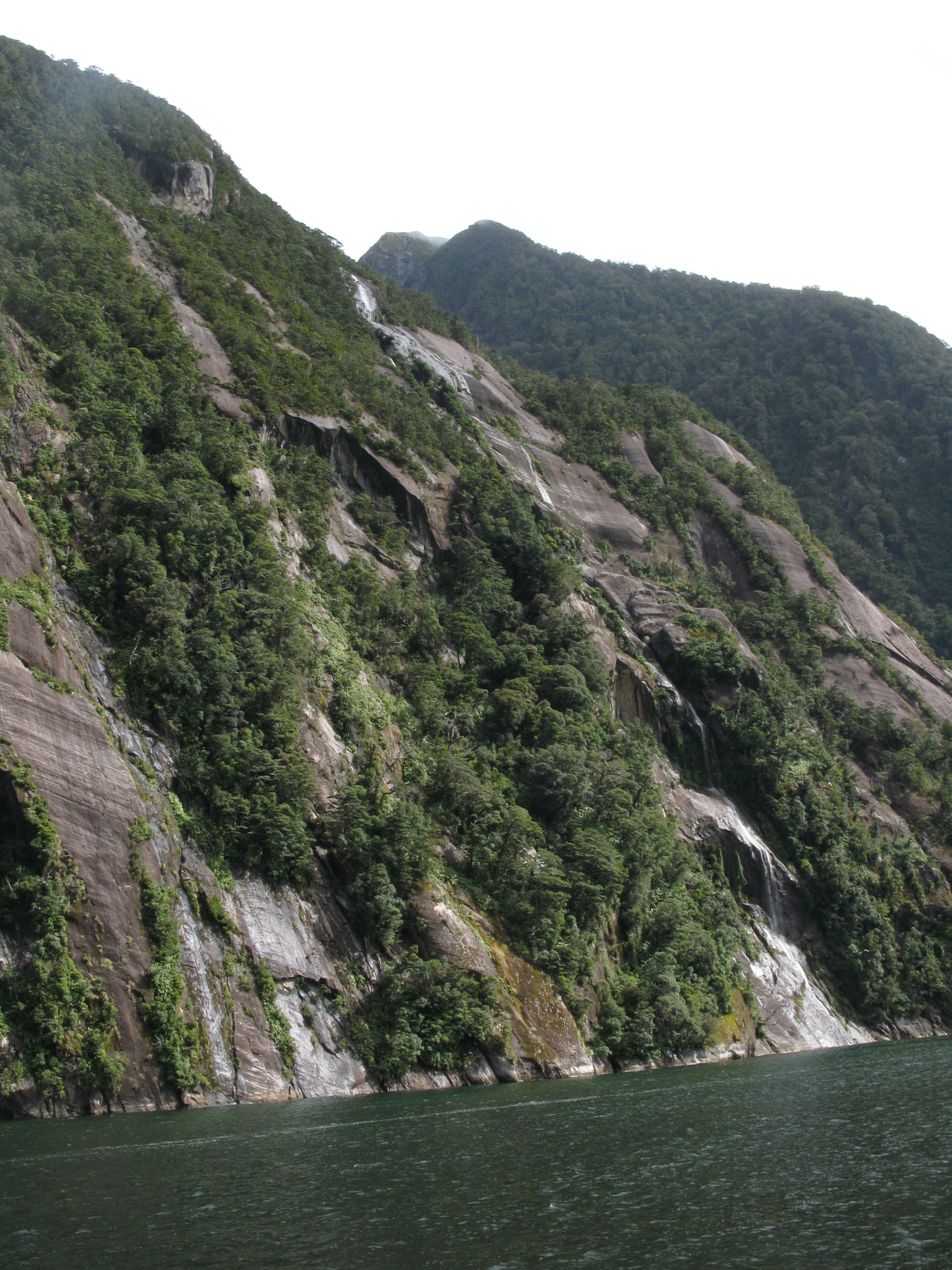
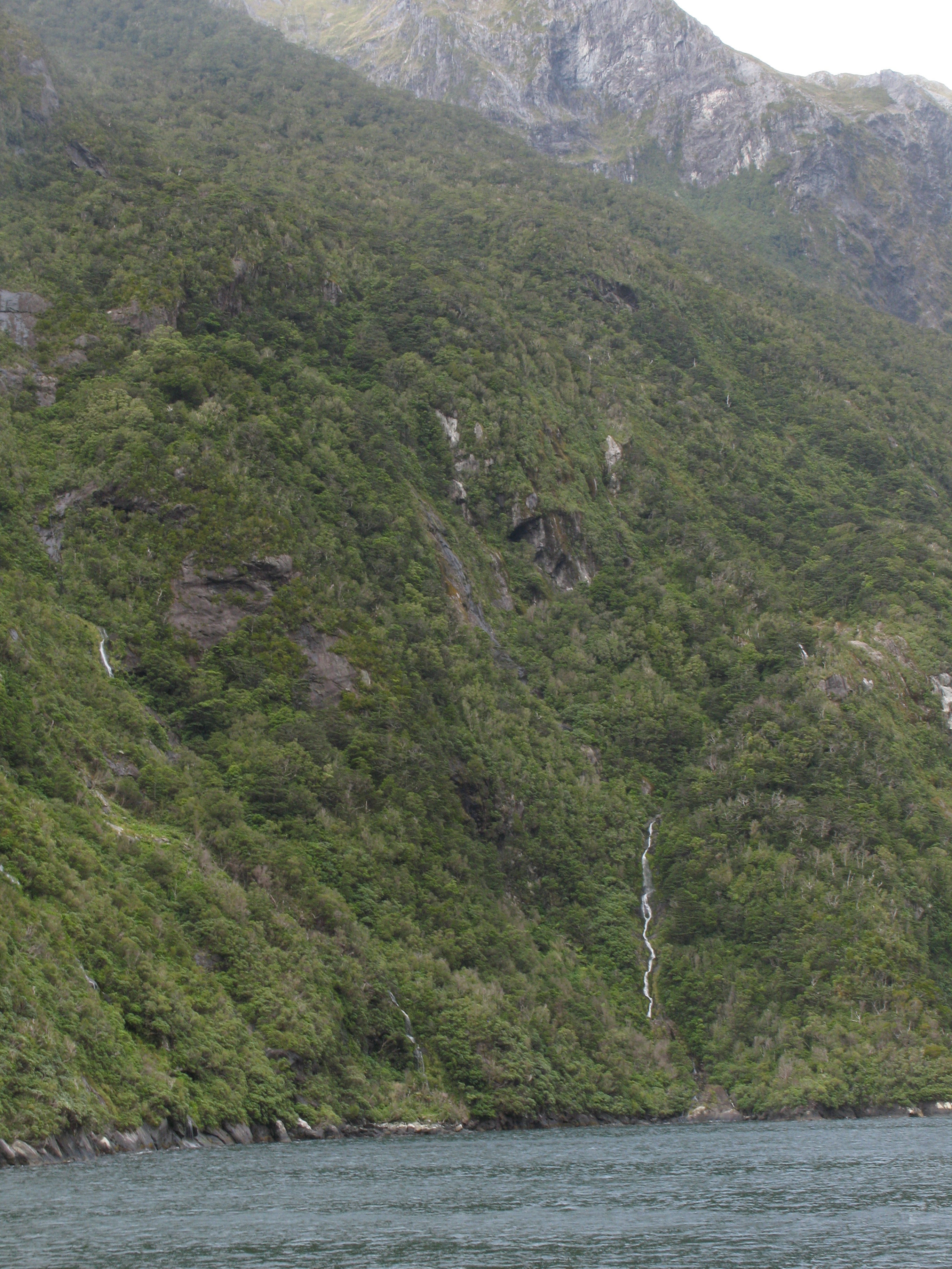
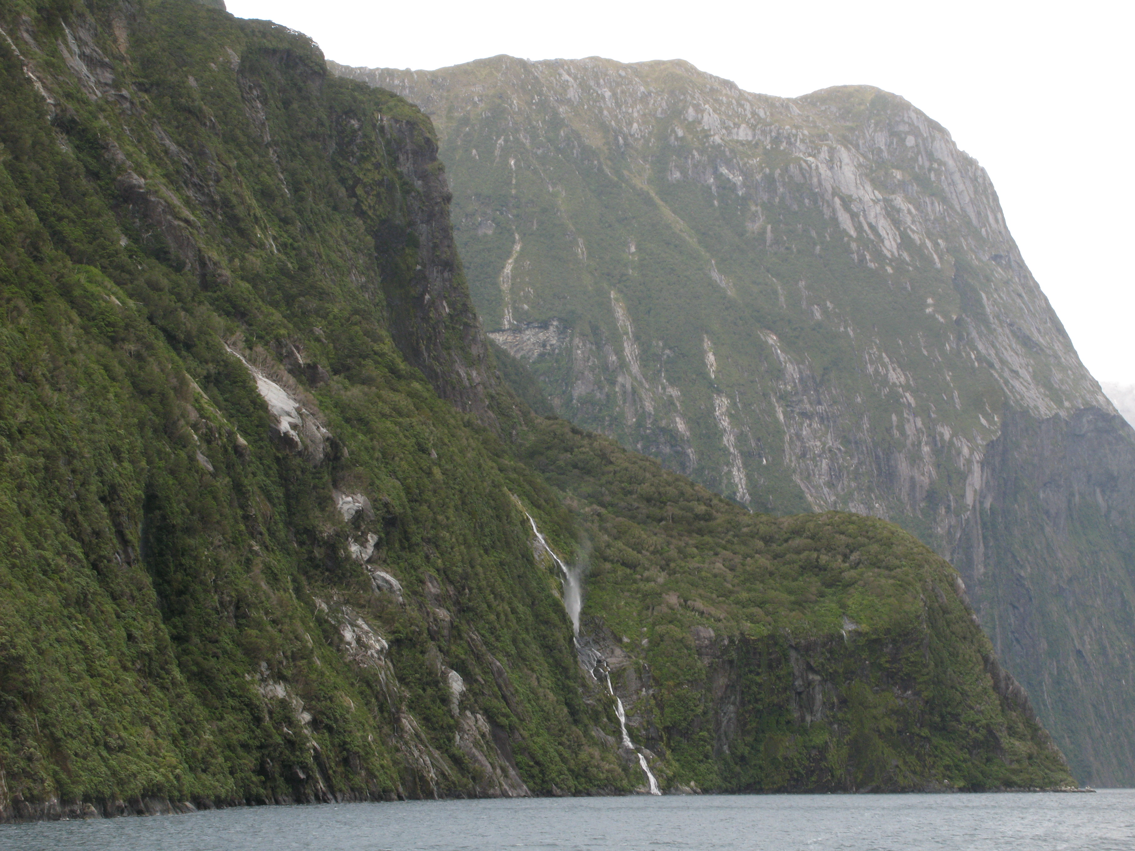
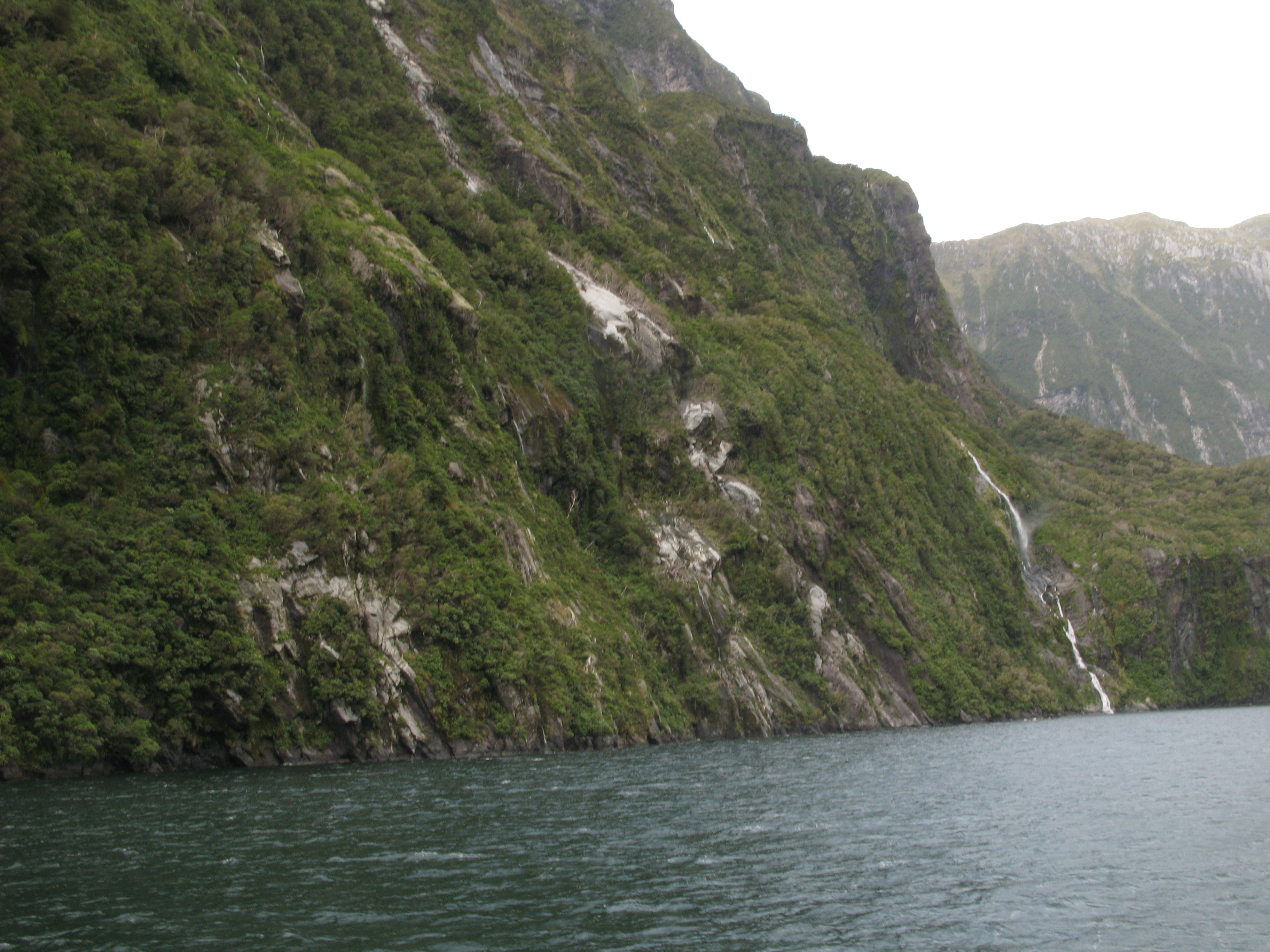
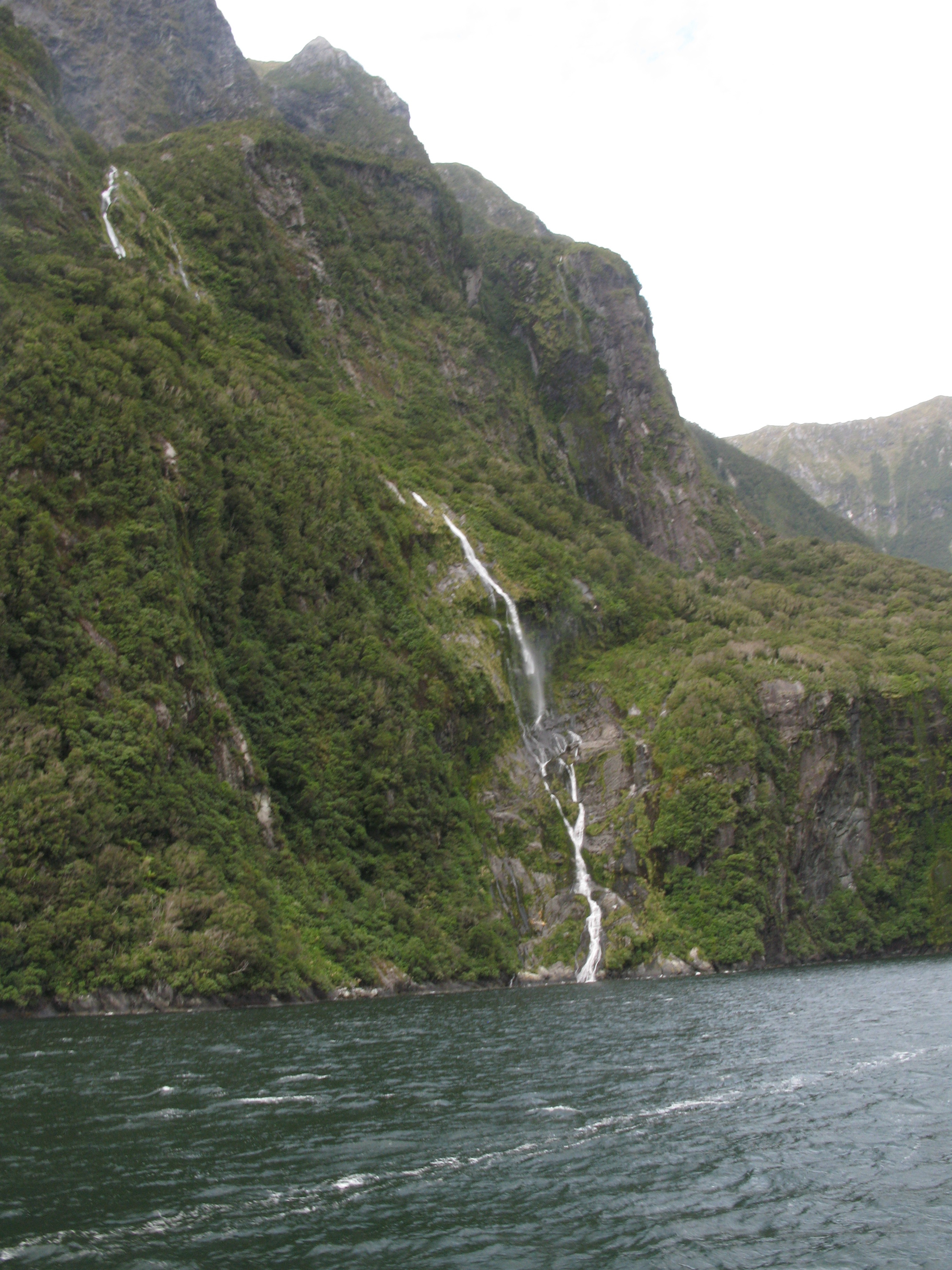
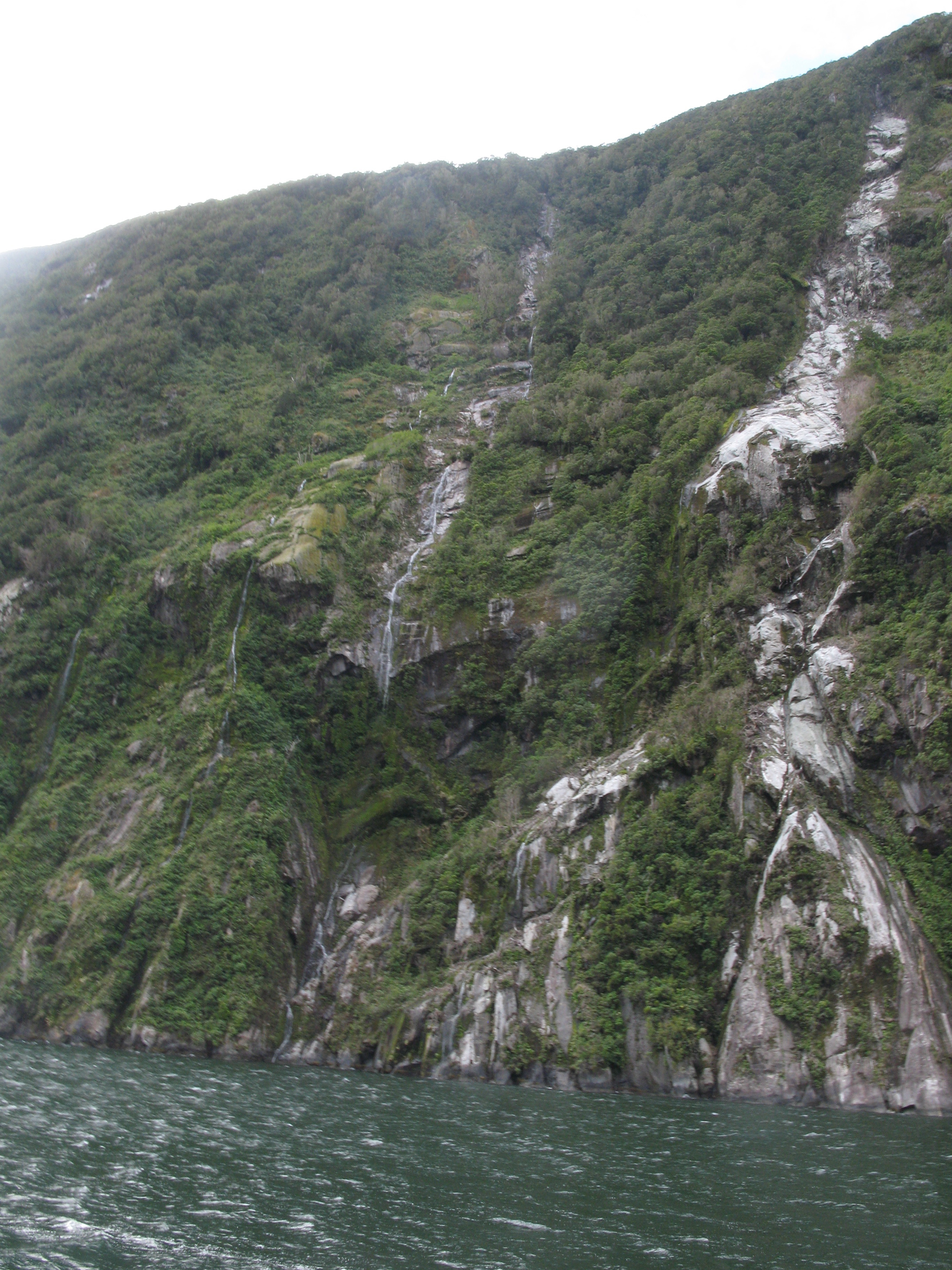
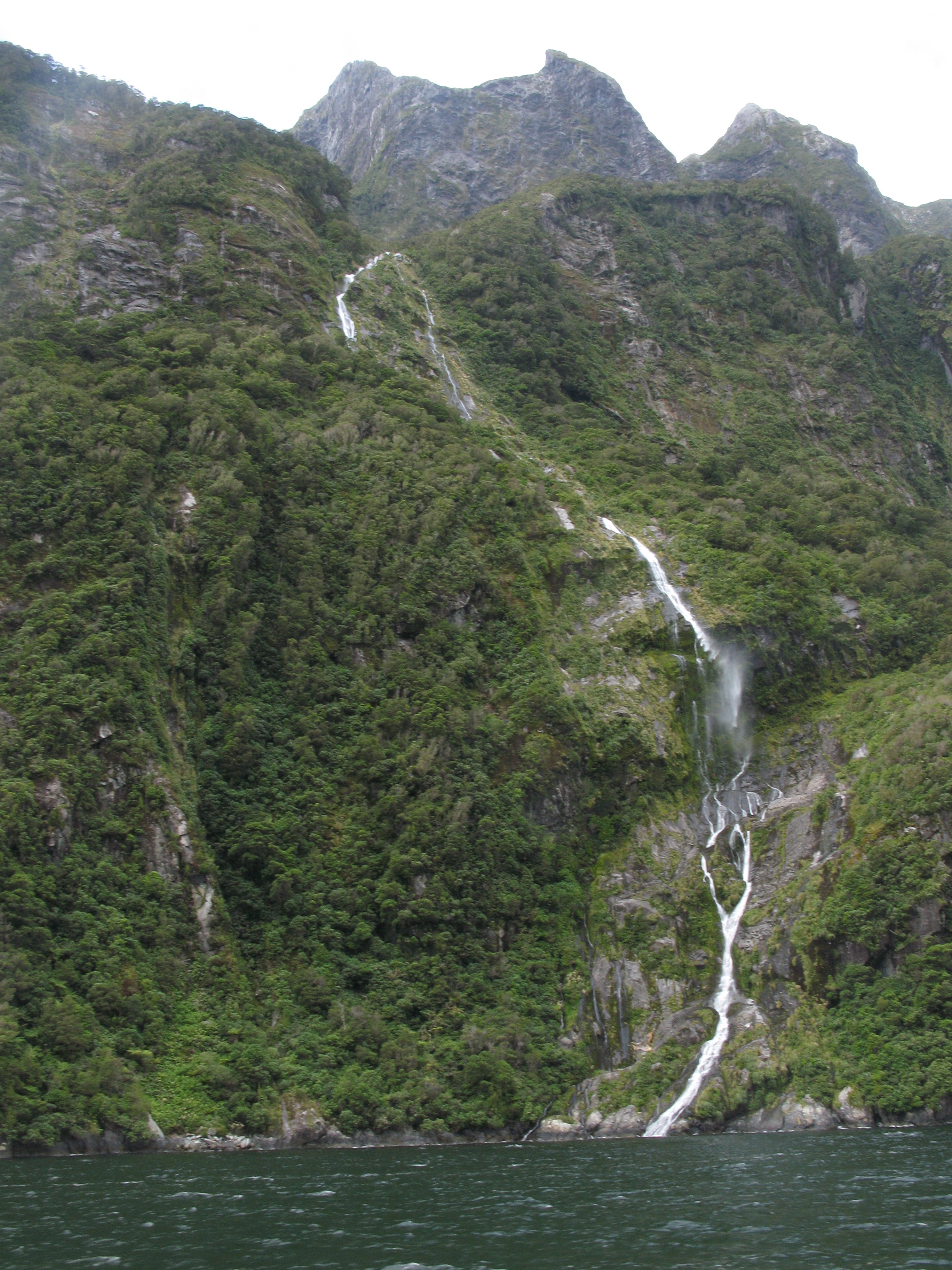
| Many little waterfalls. |
| More waterfalls. |
| More waterfalls. Comparing this and the last image, you can see how much the wind is blowing the water around. |
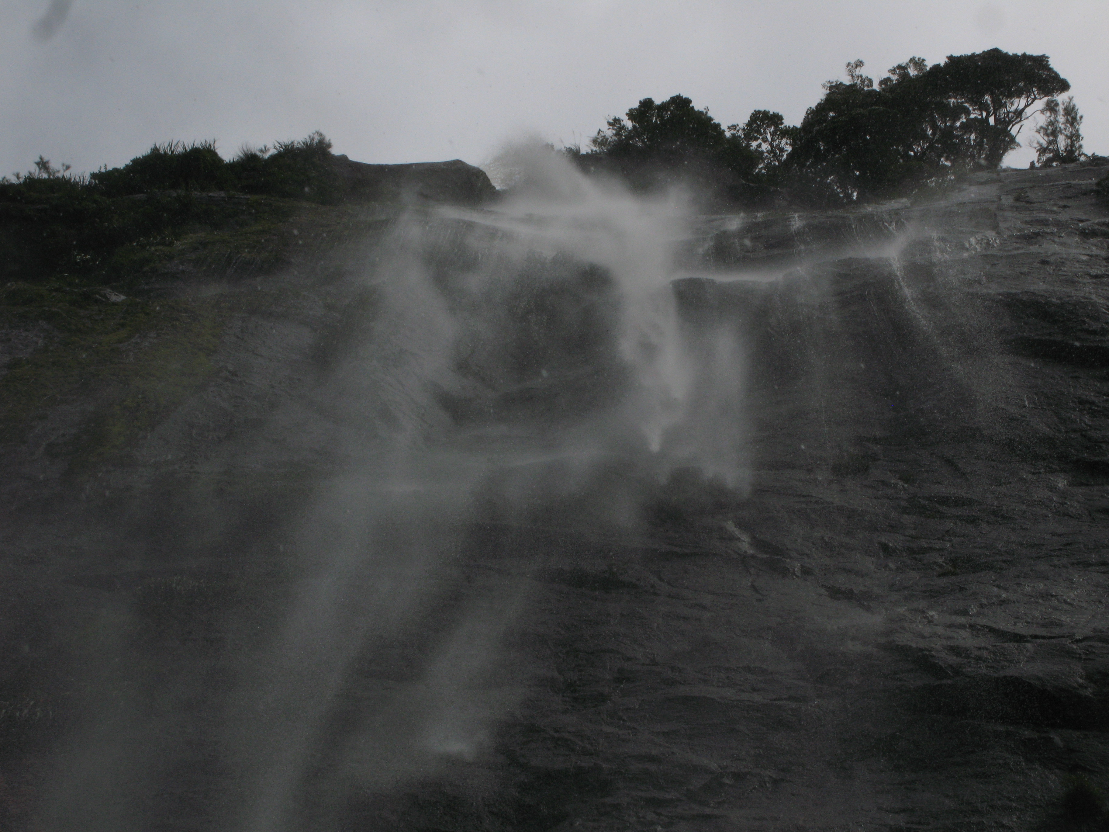
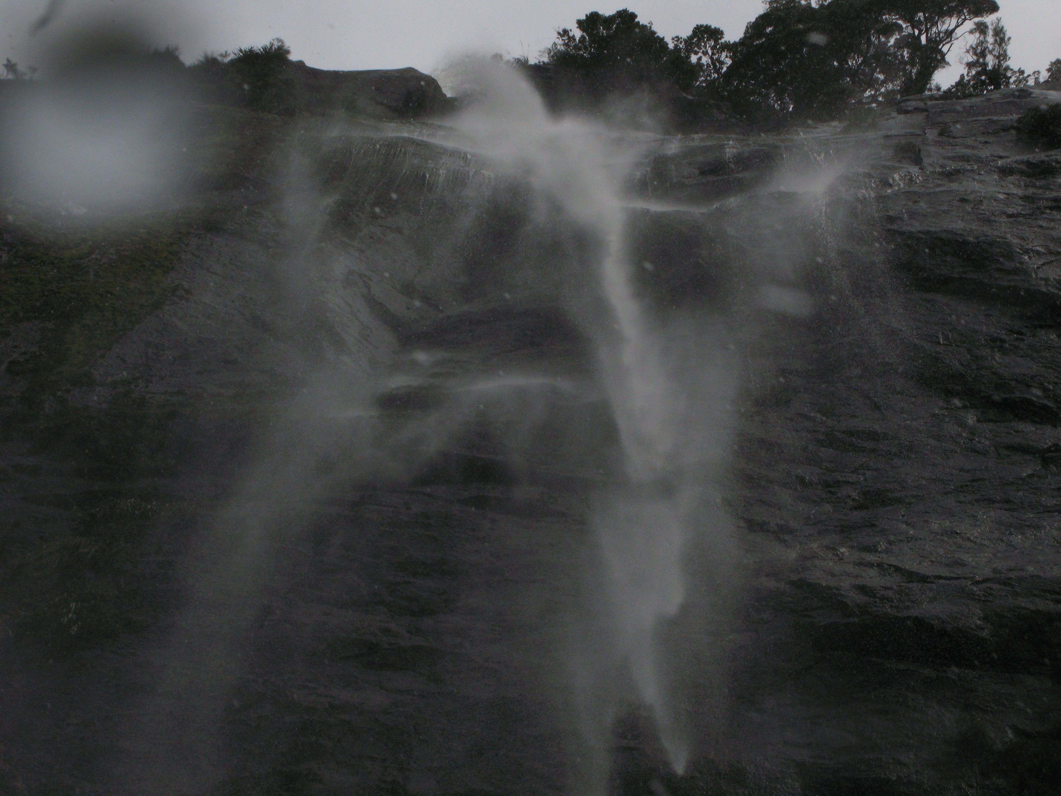
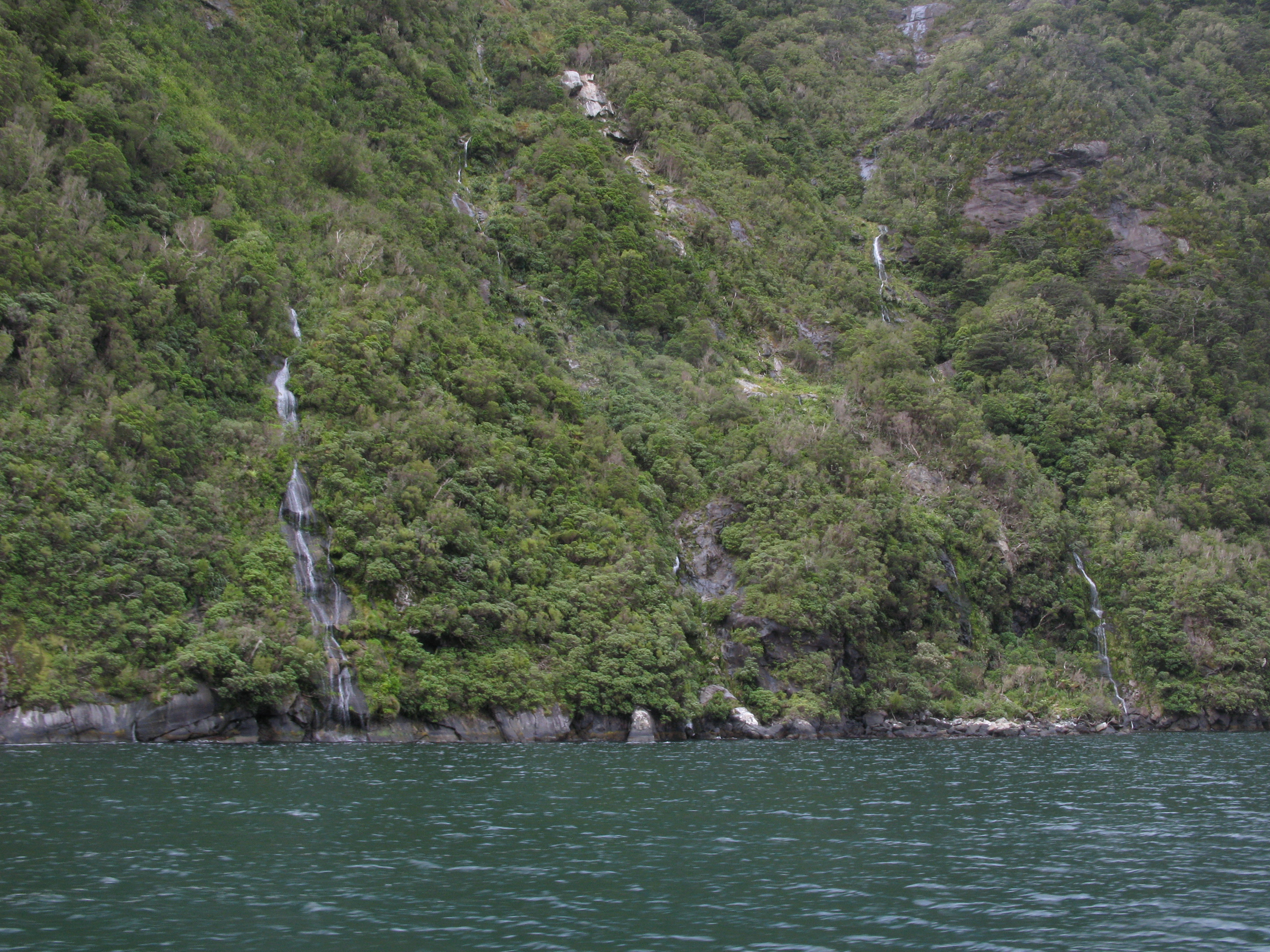
| Waterfalls. |
| Waterfalls. |
| Waterfalls. |
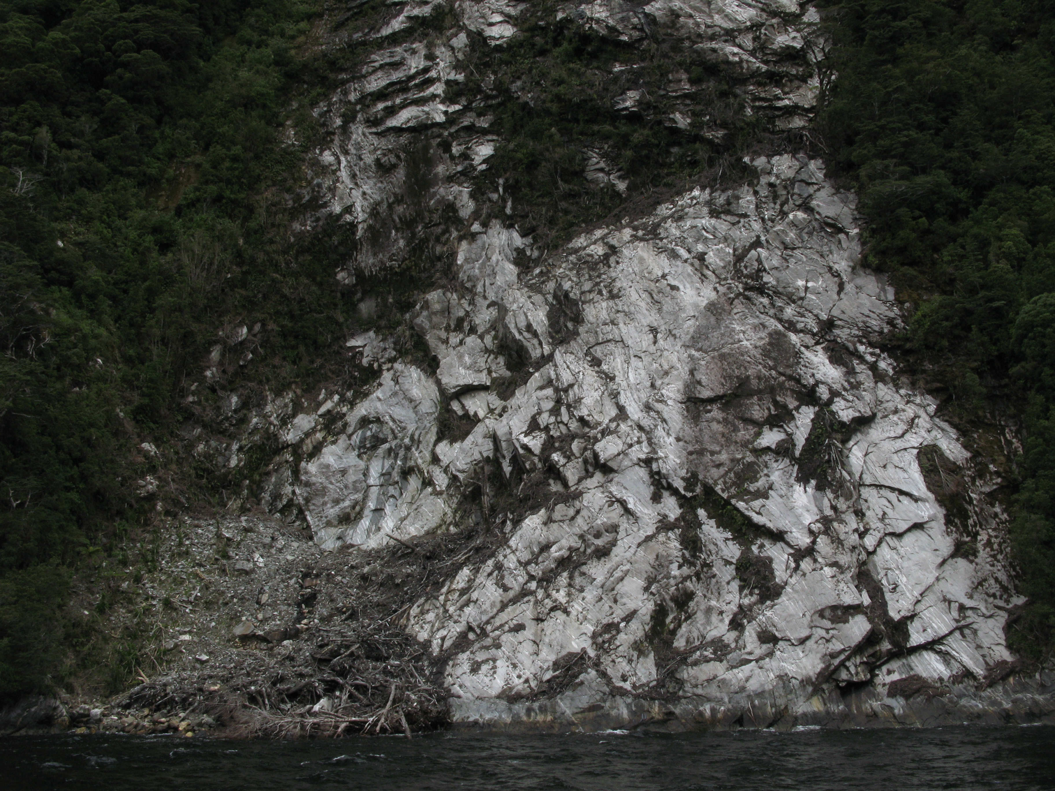
| Iron oxide in the rocks. There's also copper. |
| The sheer cliff of Mitre Peak. |
| And the impressive overhang of The Lion. |
| Water. The winds were strong enough to blow spray around a fair bit, but there were no real swells, which was nice. |
| Heading out to sea. |
| Heading out to sea. |
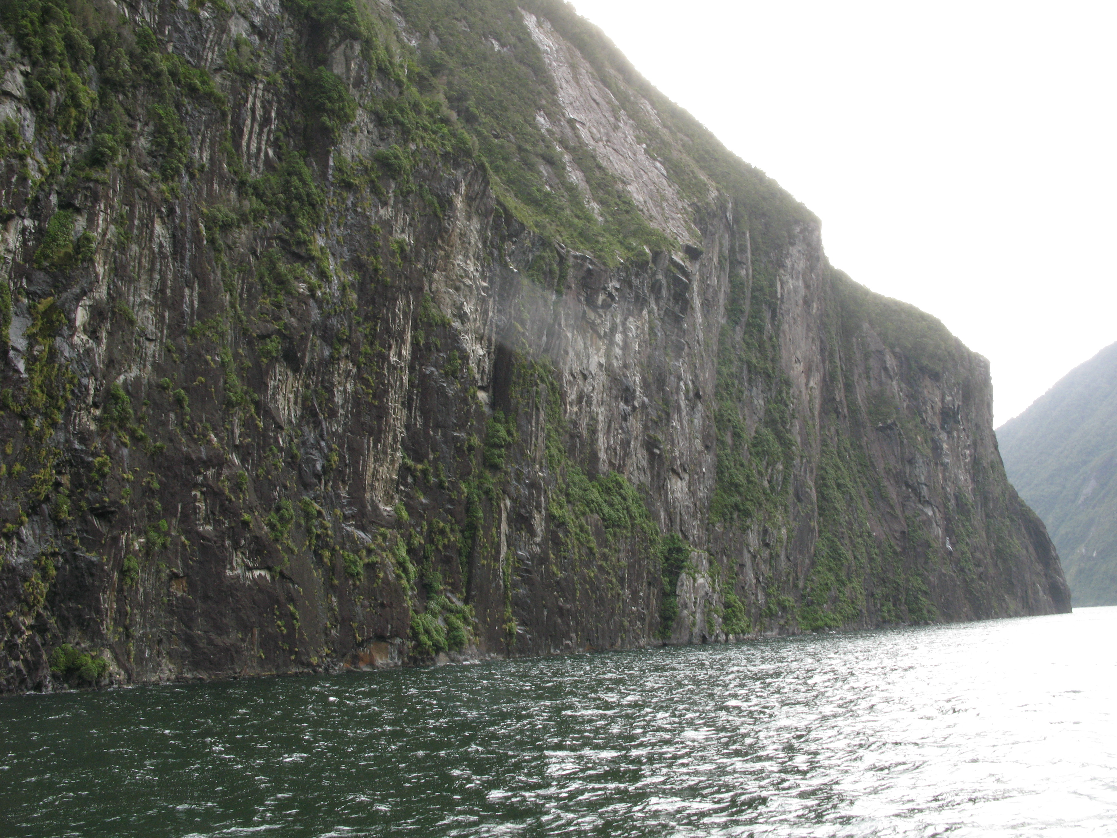
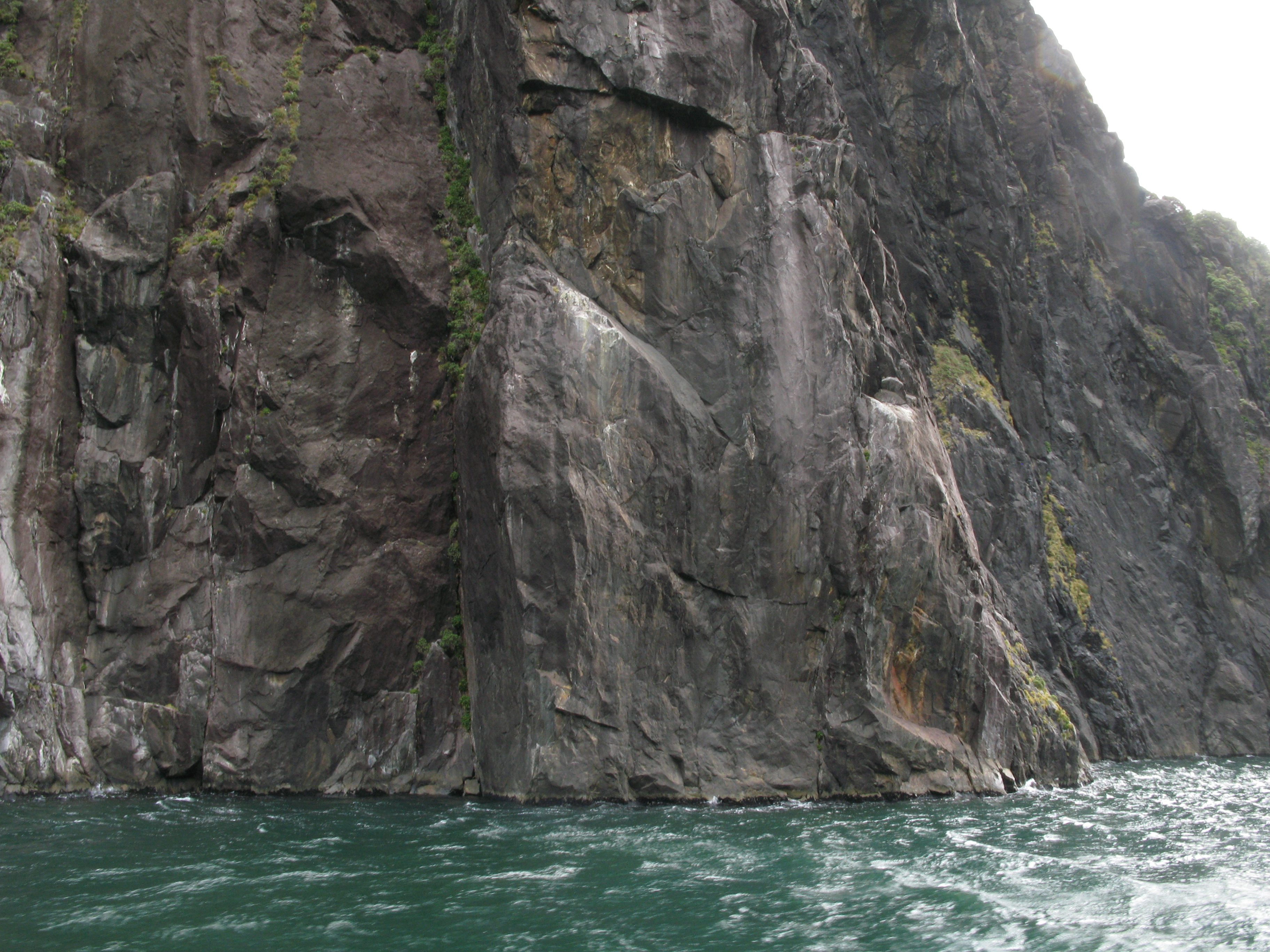
| Cliff. |
| The cliffs start to open up as we round Seal Point. |
| Seal Point. |
| Another seal on the rock. |
| Another seal on the rock. |
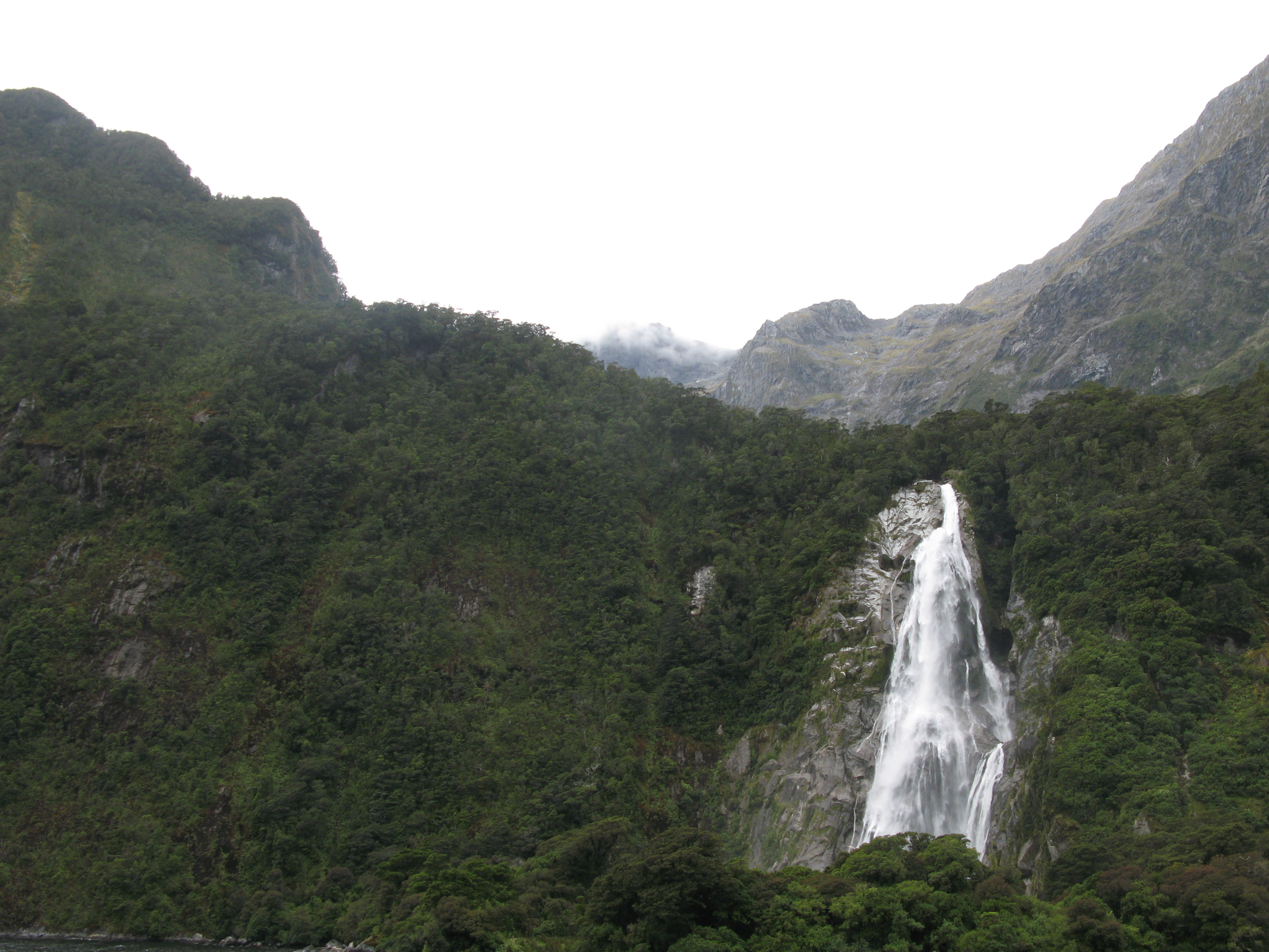
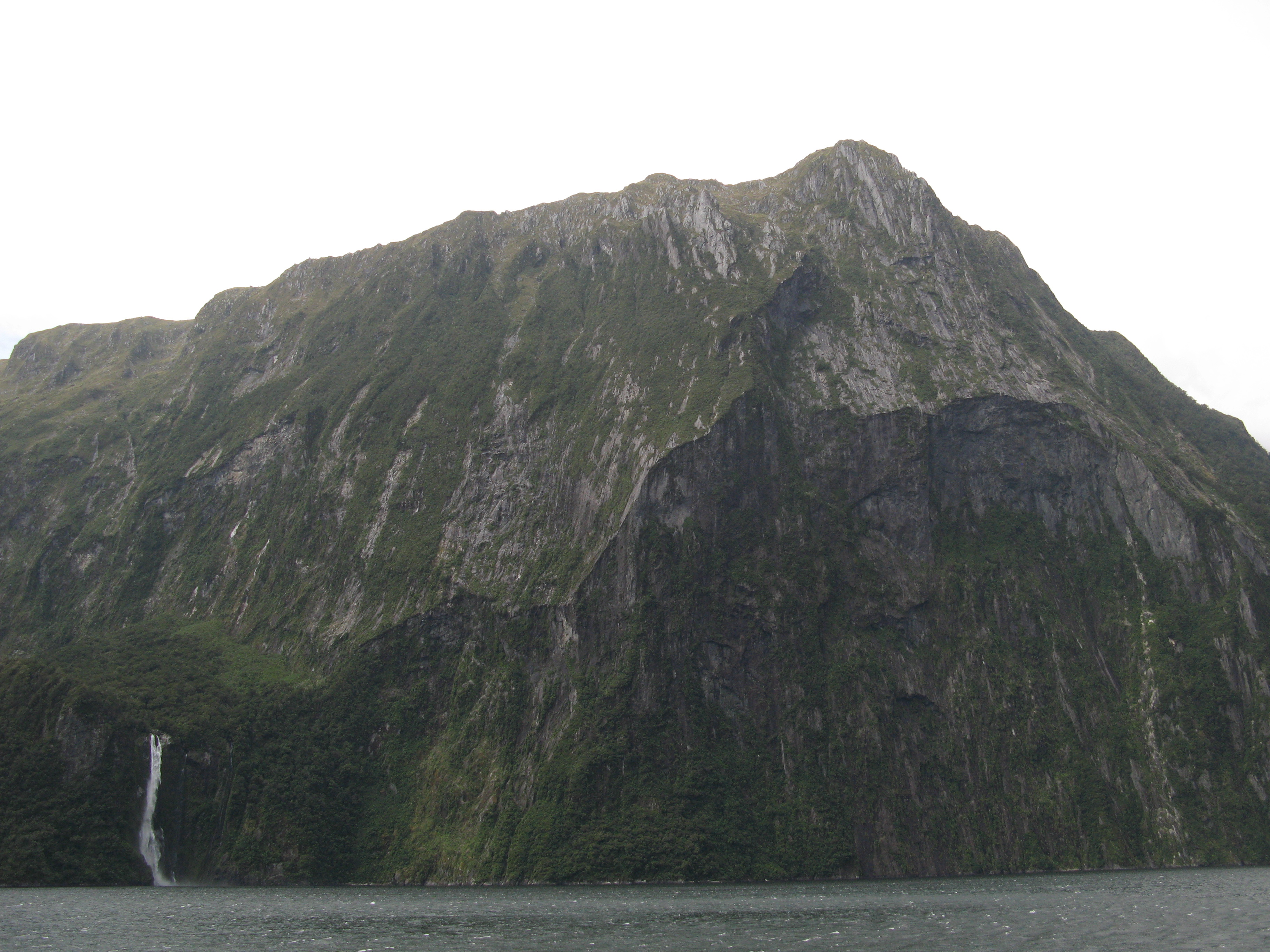
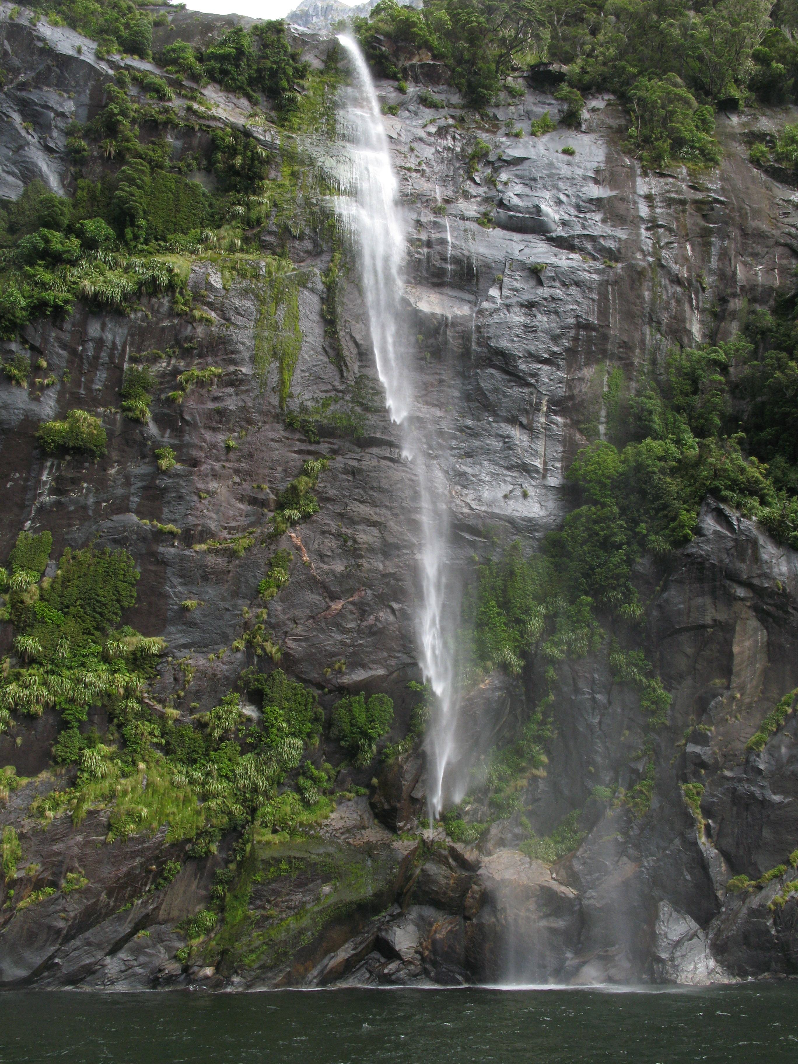
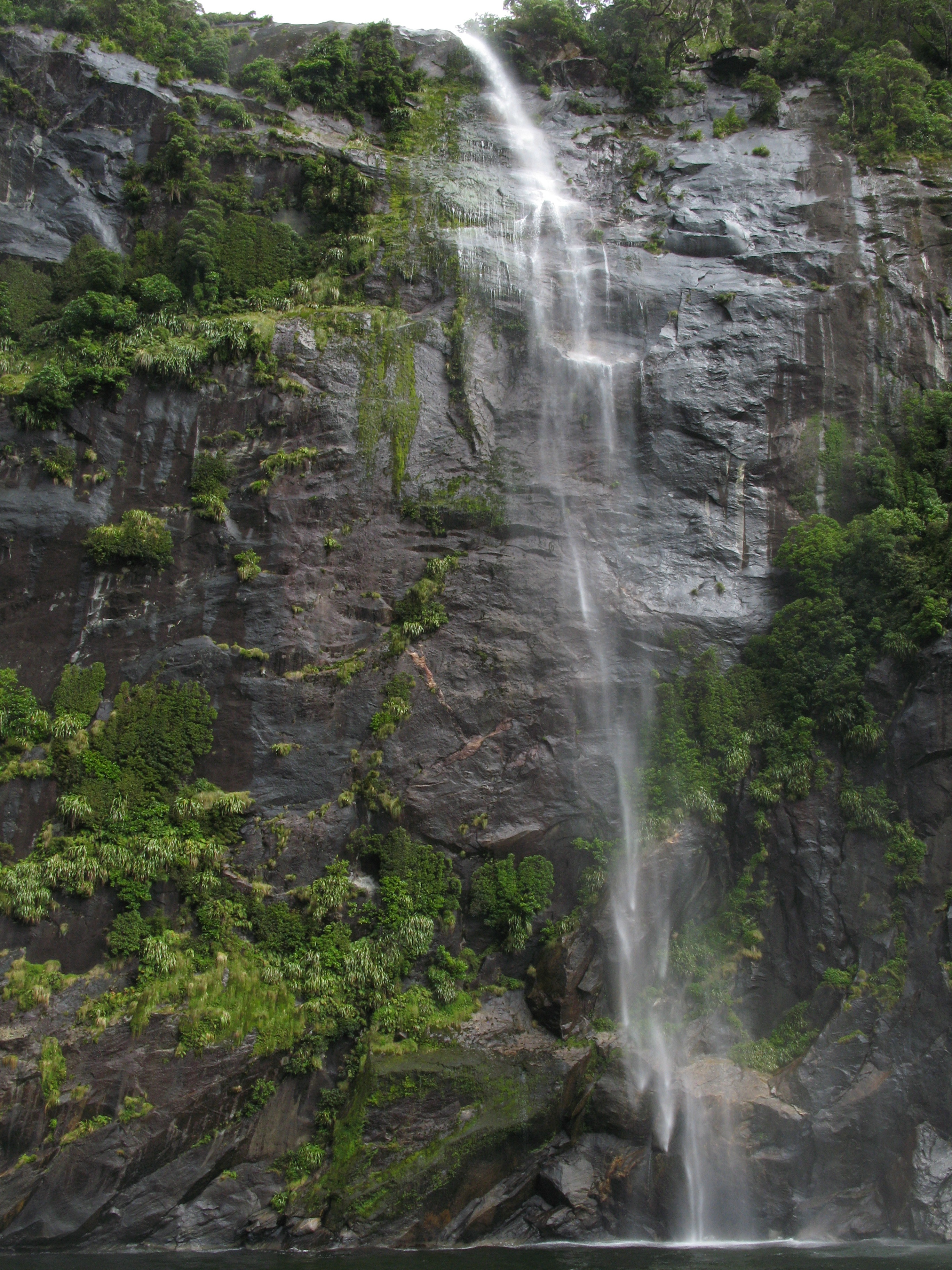
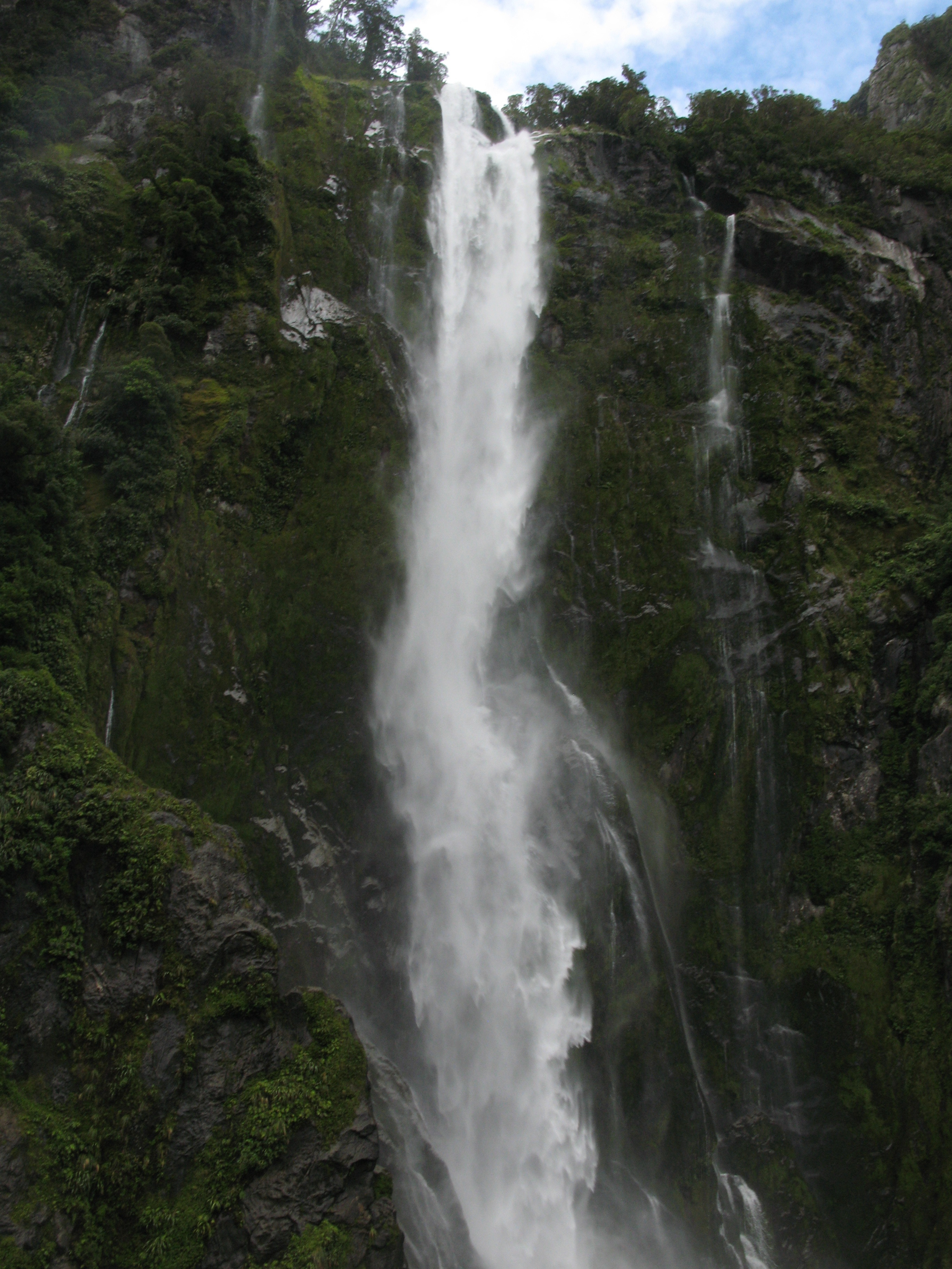
| This is another of the five perminant falls in the Sound. |
| This is another of the five perminant falls in the Sound. |
| Non-perminant waterfalls. |
| Wind-blown water. |
| Wind-blown water. |
| Wind-blown water. |
| Wind-blown water. |
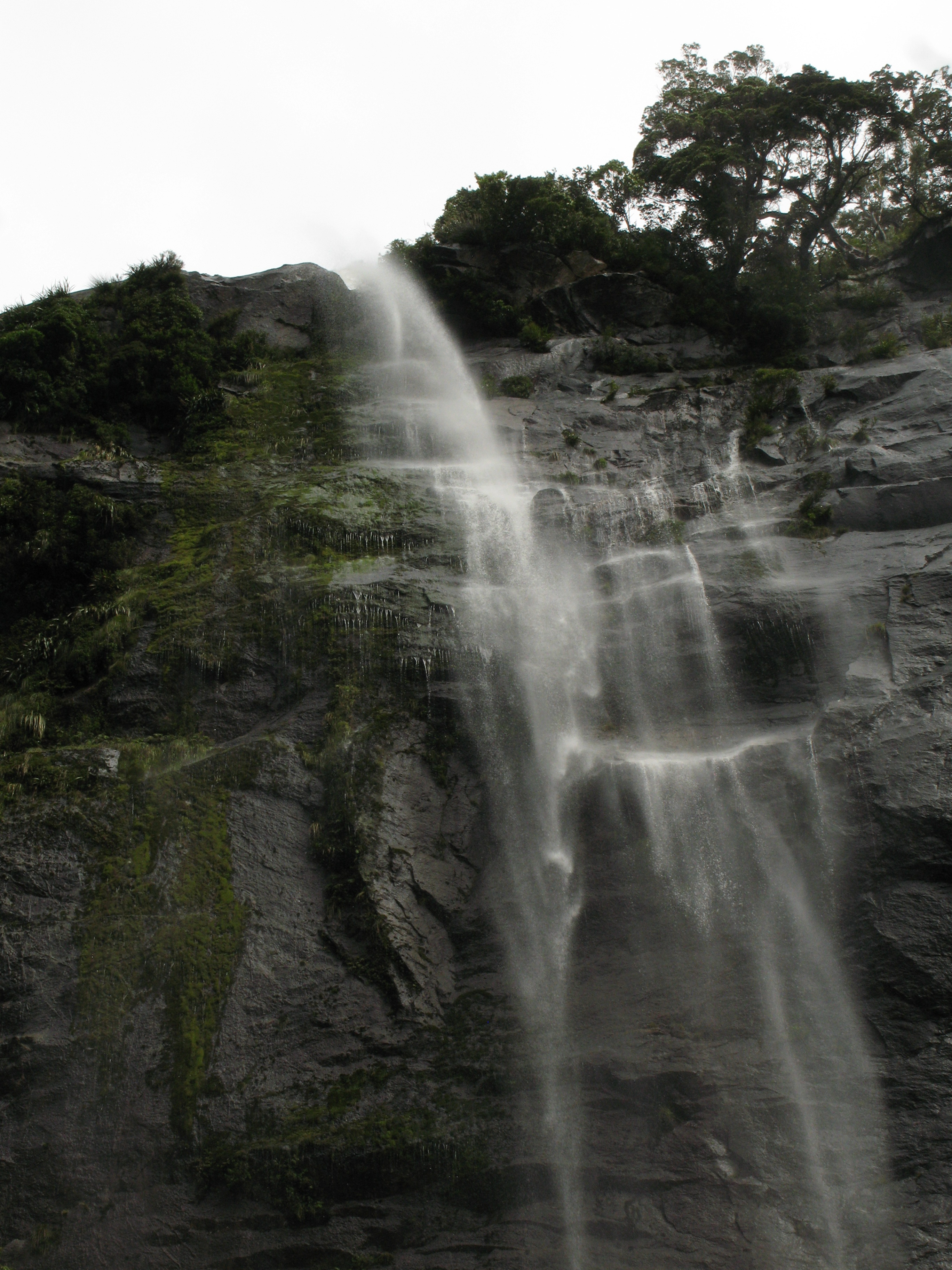
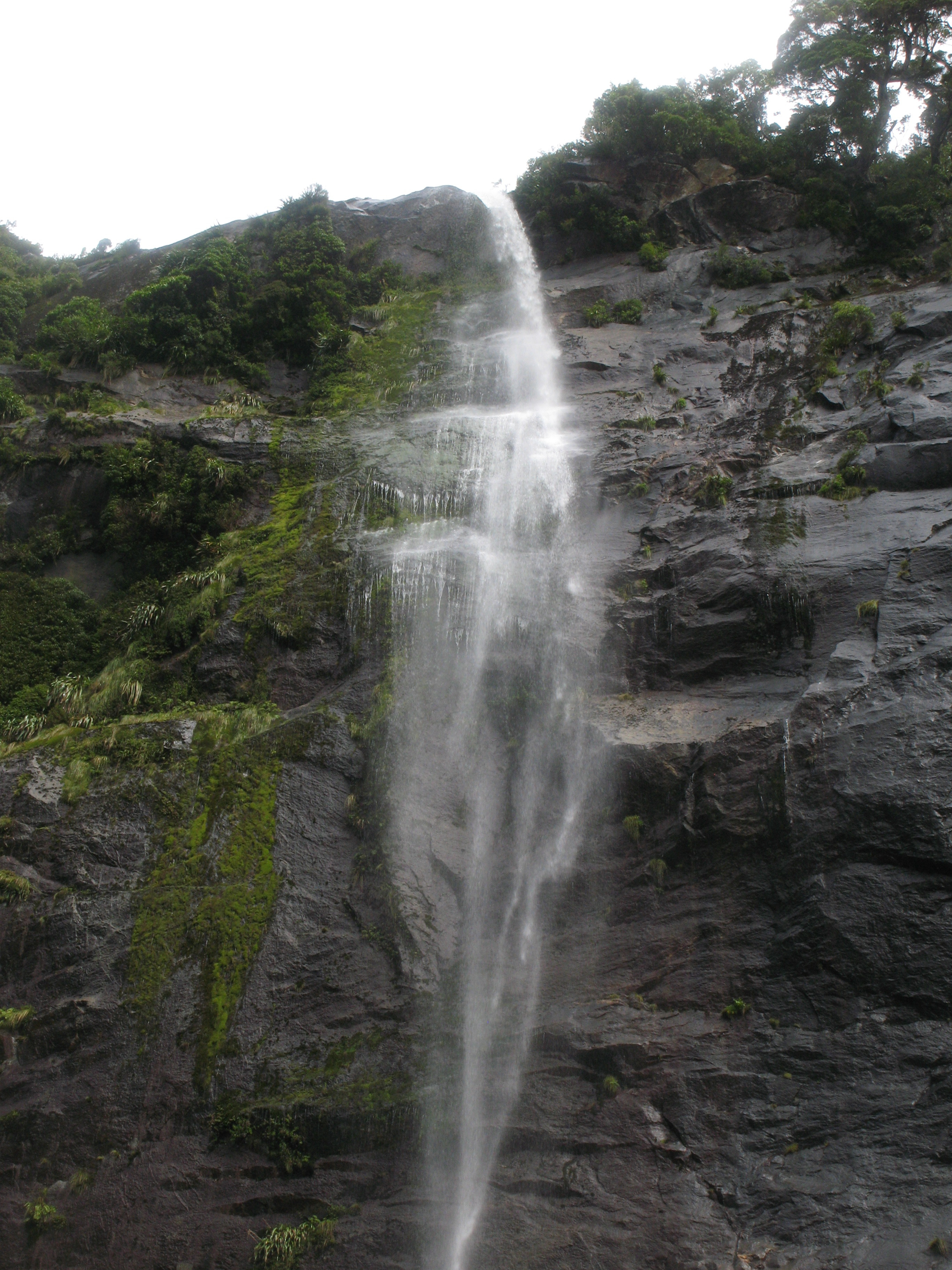
| Getting up close to the fall. |
| Getting up close to the fall. |
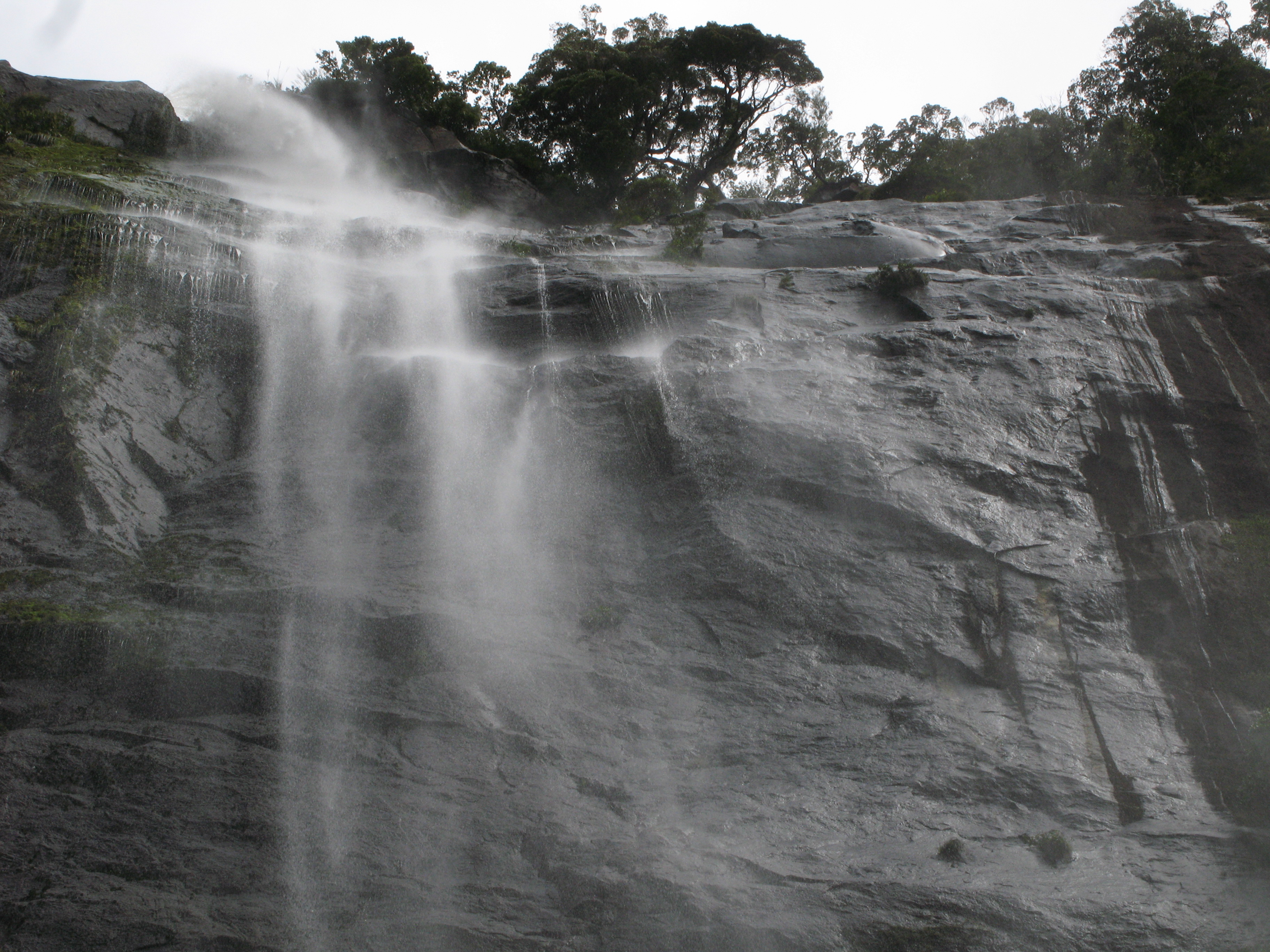
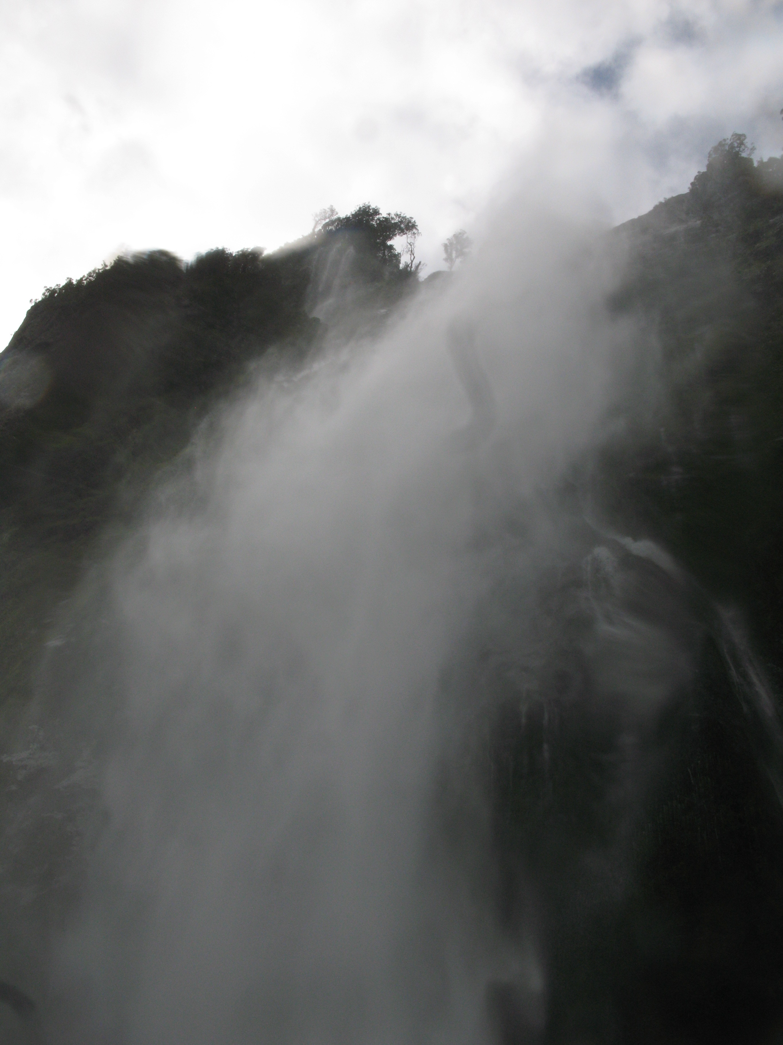
| Spray. |
| Underneath. I didn't actually get wet taking this picture (except for a little mist). The people standing on the downwind side of the boat, however, got quite wet. |
| More spray. |
| More spray. |
| One last look. |
| Bridal Veil Falls, another of the permimant fixtures in the Sound. |
| Falls on the western face of Rover Peak. |
| Not just a chasm, this is actually a fault line running through the Mitre Peak ridge. |
| Rover Peak, again. |
| Looking back as the Sound opens up. That's the Lion. |
| Fiordland beaches. |
| Cliff. |
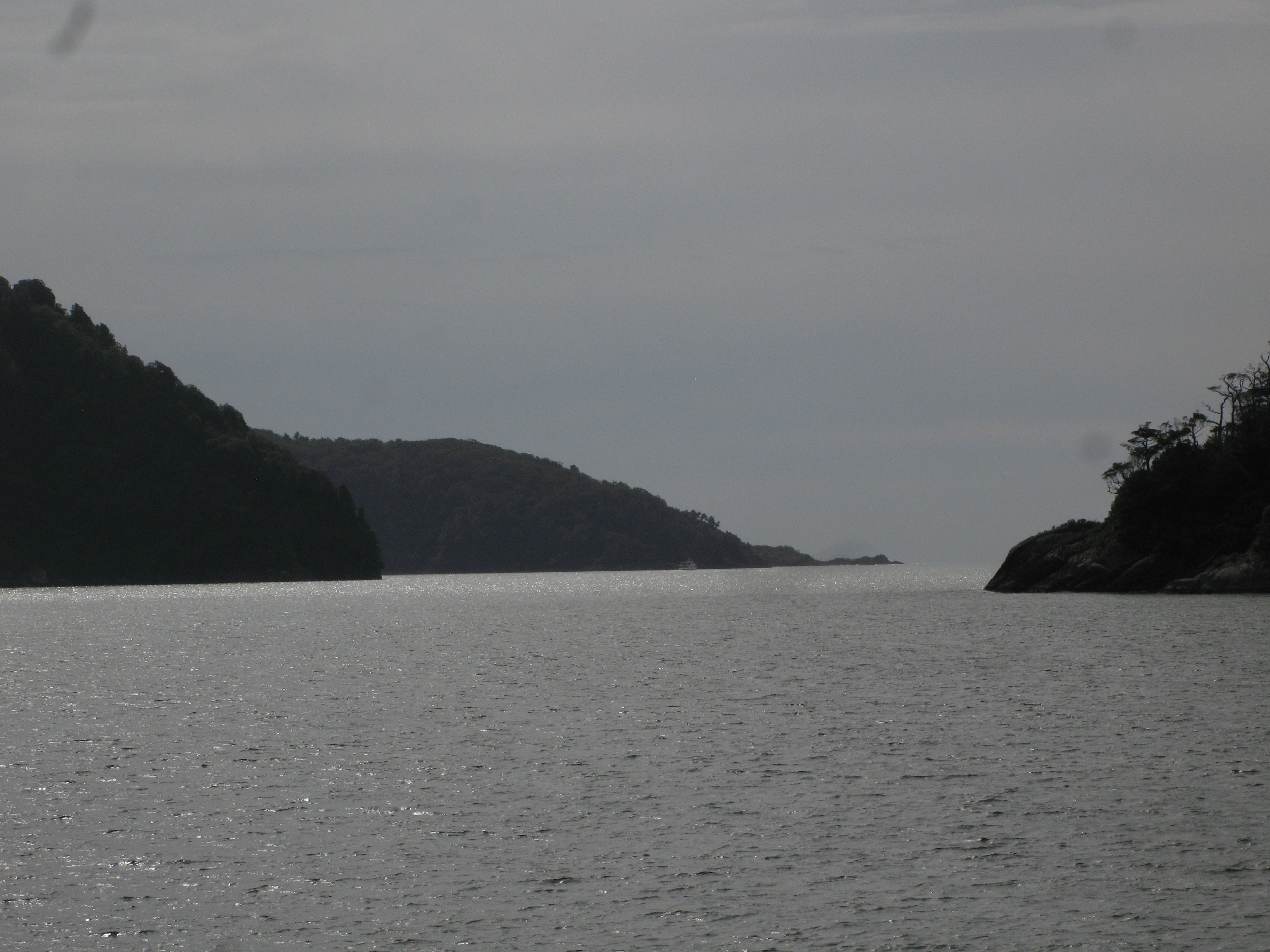
| The mouth of the Sound, with the Tasman Sea beyond. |
| The schooner out on the Sea. |
| The mouth of the Sound. |
| Dale Point. |
| Looking back at Rover Peak. |
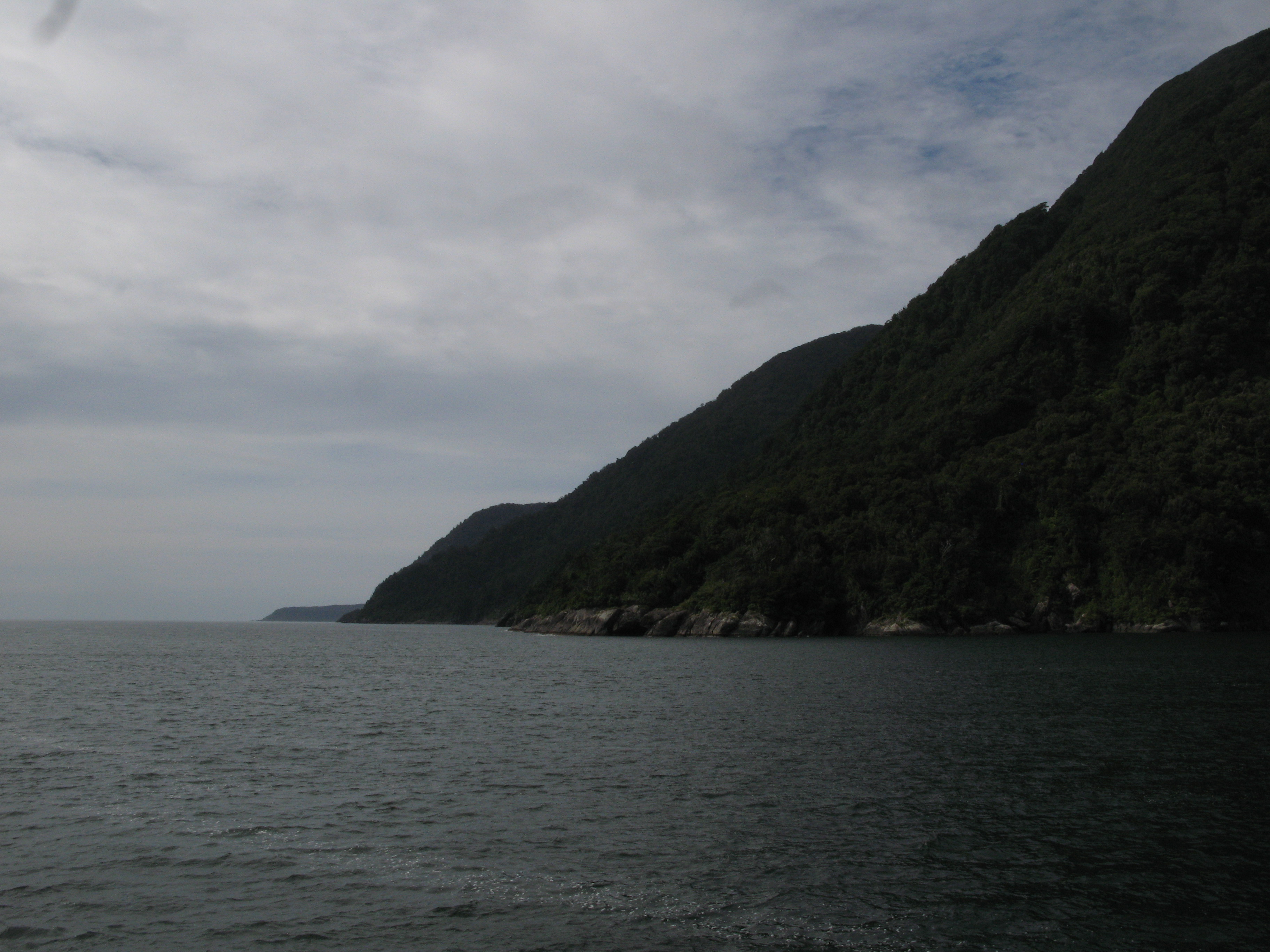
| The coast north. The point in the centre distance is Yates Point, the less prominent one in front of it is Stripe Point.. |
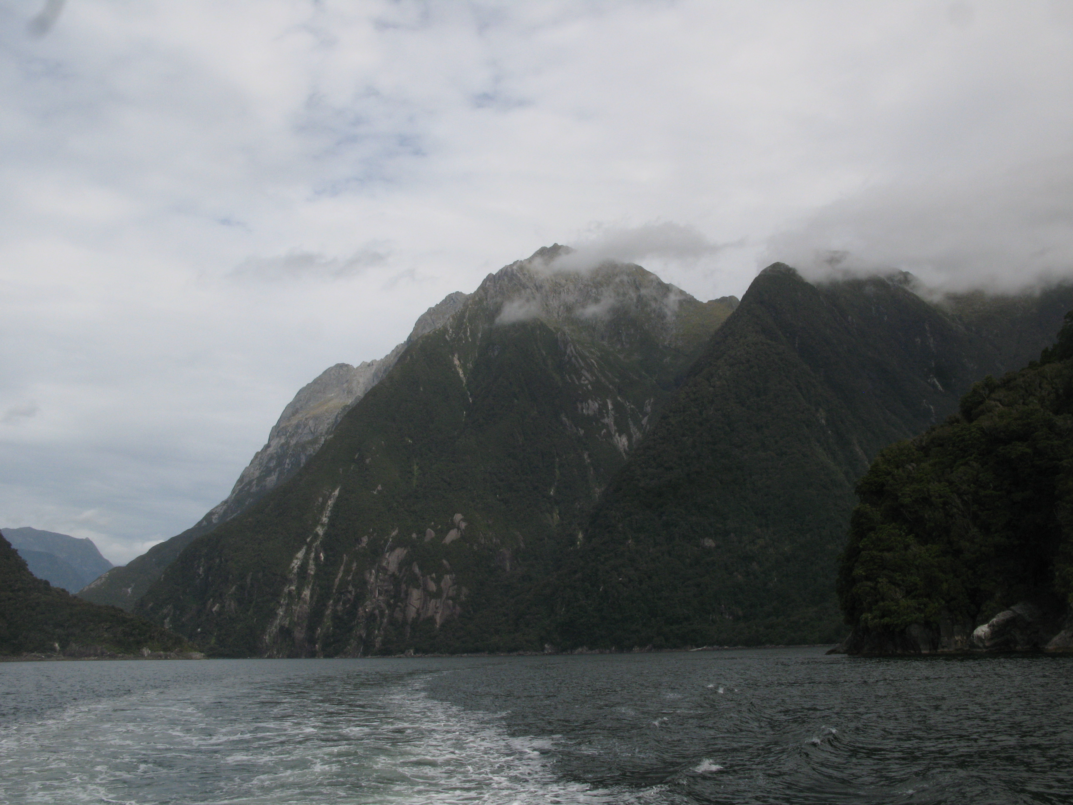
| Looking back again at the Sound. |
| Looking back again at the Sound. |
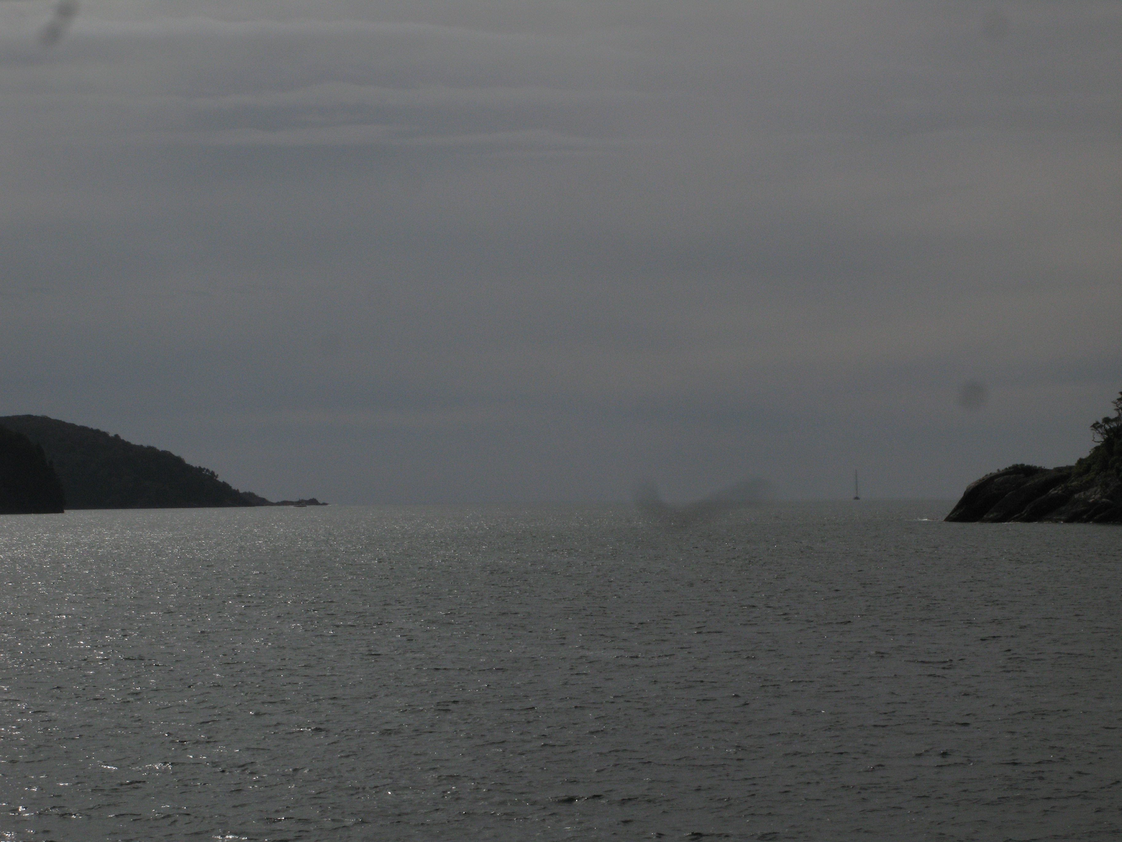
| Heading out into the Sea. |
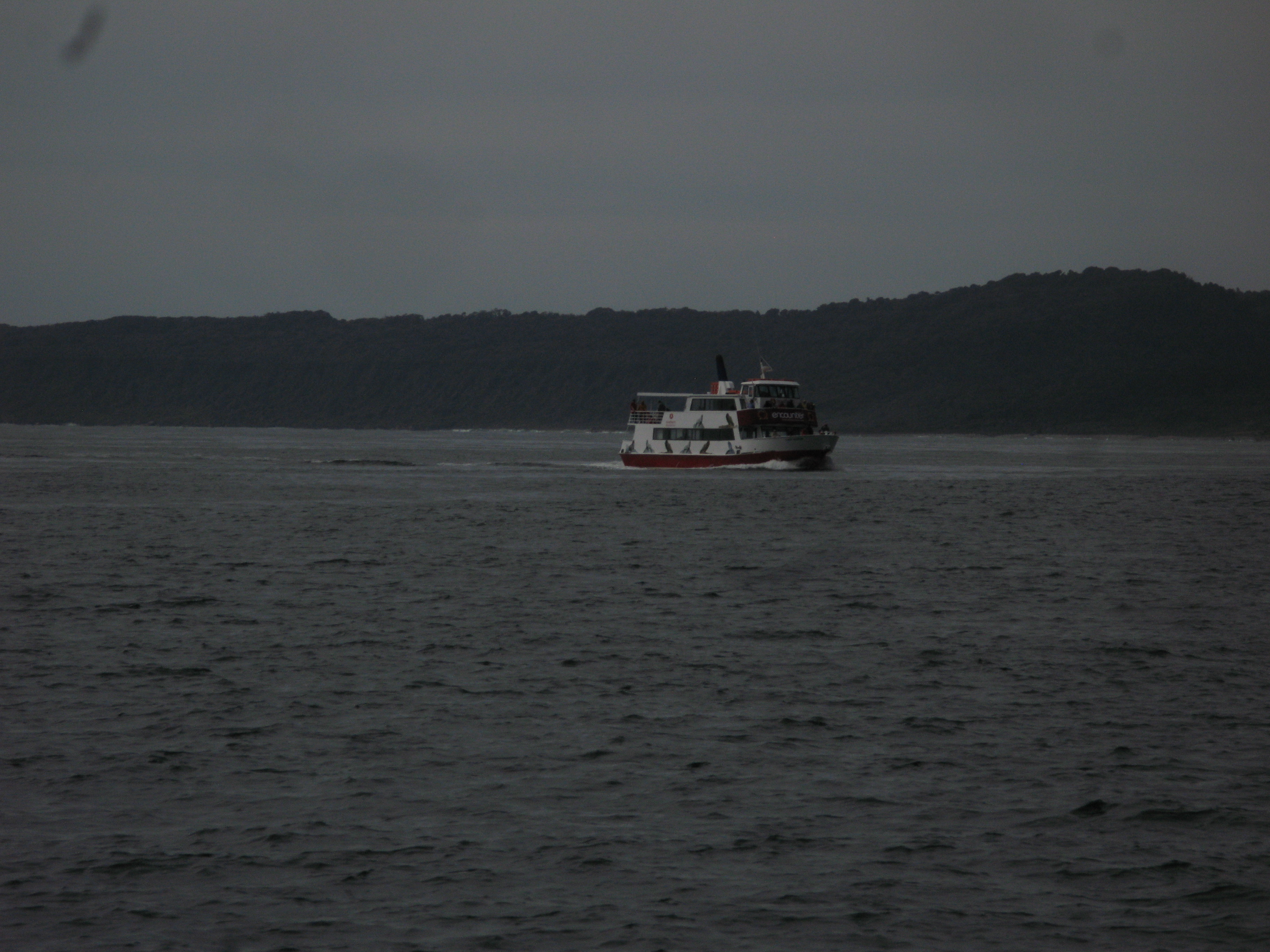
| Another cruise boat out in the Sea. |
| Mountains. |
| The other cruise boat heads back into the Sound. |
| The other cruise boat heads back into the Sound. |
| The view of the Sound from out in the Sea. It looked so much like a minor bay to Cook, he skipped investigating it both times he sailed past. In 1823, a mechant vessel seeking shelter from a storm entered the "bay". The crew were happily surprised to find the Sound, and able to weather the storm. |
| Camp on Anita Bay, near the mouth of the Sound. |
| Brig Rock off the coast. Although it was not large, the swell was sufficient to periodically partially or fully obscure the Rock, giving it the appearance of a ship doing manoeuvres. |
| St. Anne Point, the southern edge of the Sound. |
| The lighthouse on St. Anne Point. |
| St. Anne Point. |
| St. Anne Point. |
| St. Anne Point from the entrance to the Sound.. |
| St. Anne Point. There are a couple of boats checking crayfish nets. (Are they "crayfishers"?) |
| Cloudy Mount Pembroke, on the north shore. |
| A three masted power boat, one of the overnight cruisers leaves the Sound. |
| A three masted power boat, one of the overnight cruisers leaves the Sound. |
| A three masted power boat, one of the overnight cruisers leaves the Sound. |
| Helicopter inbound. |
| And the ketch, Milford Wanderer, the other overnight cruiser, outbound. |
| Slopes. |
| Slopes. |
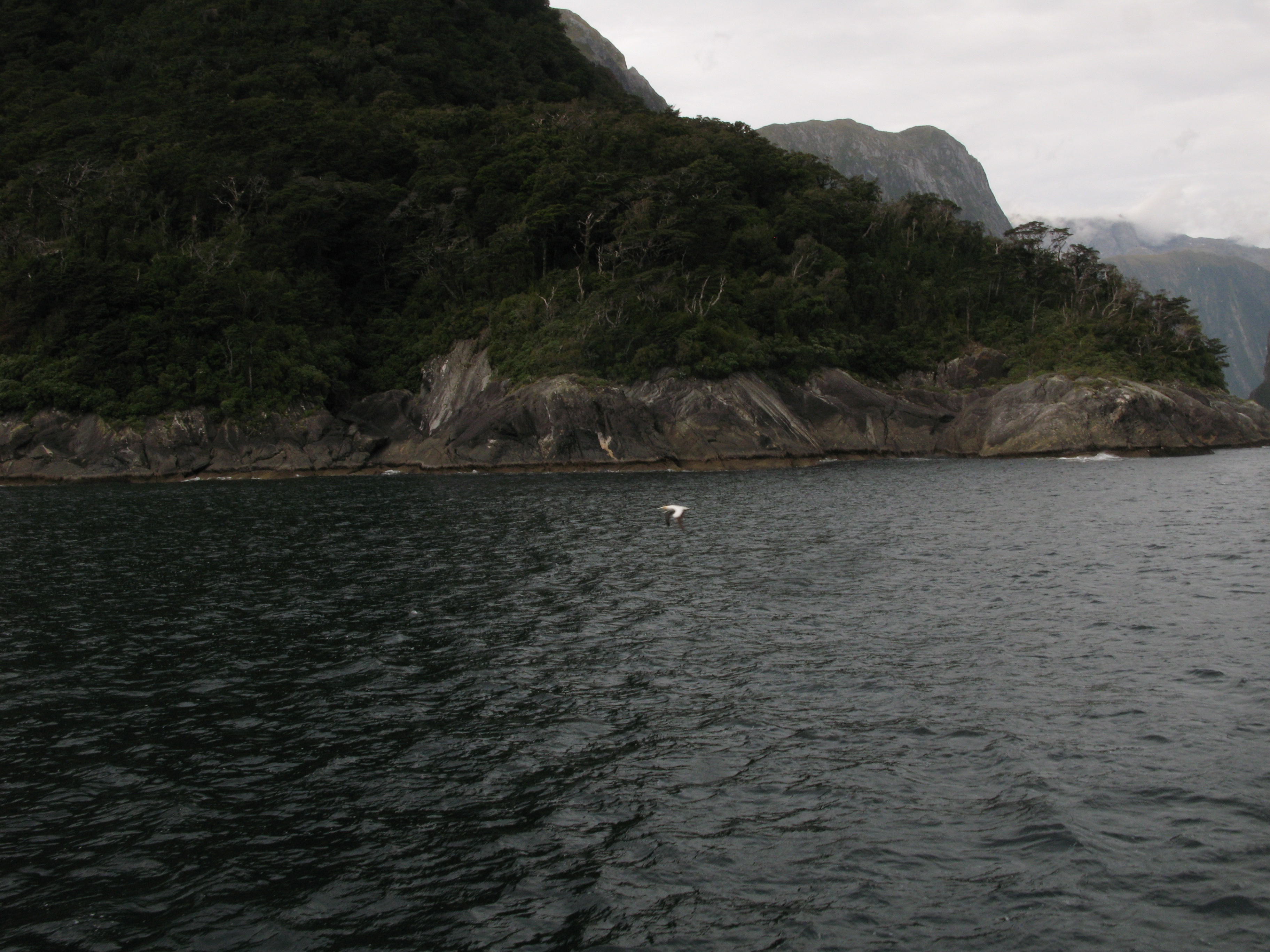
| Sea gull, flying after the ship. |
| Back into the Sound we go. |
| The north cape. |
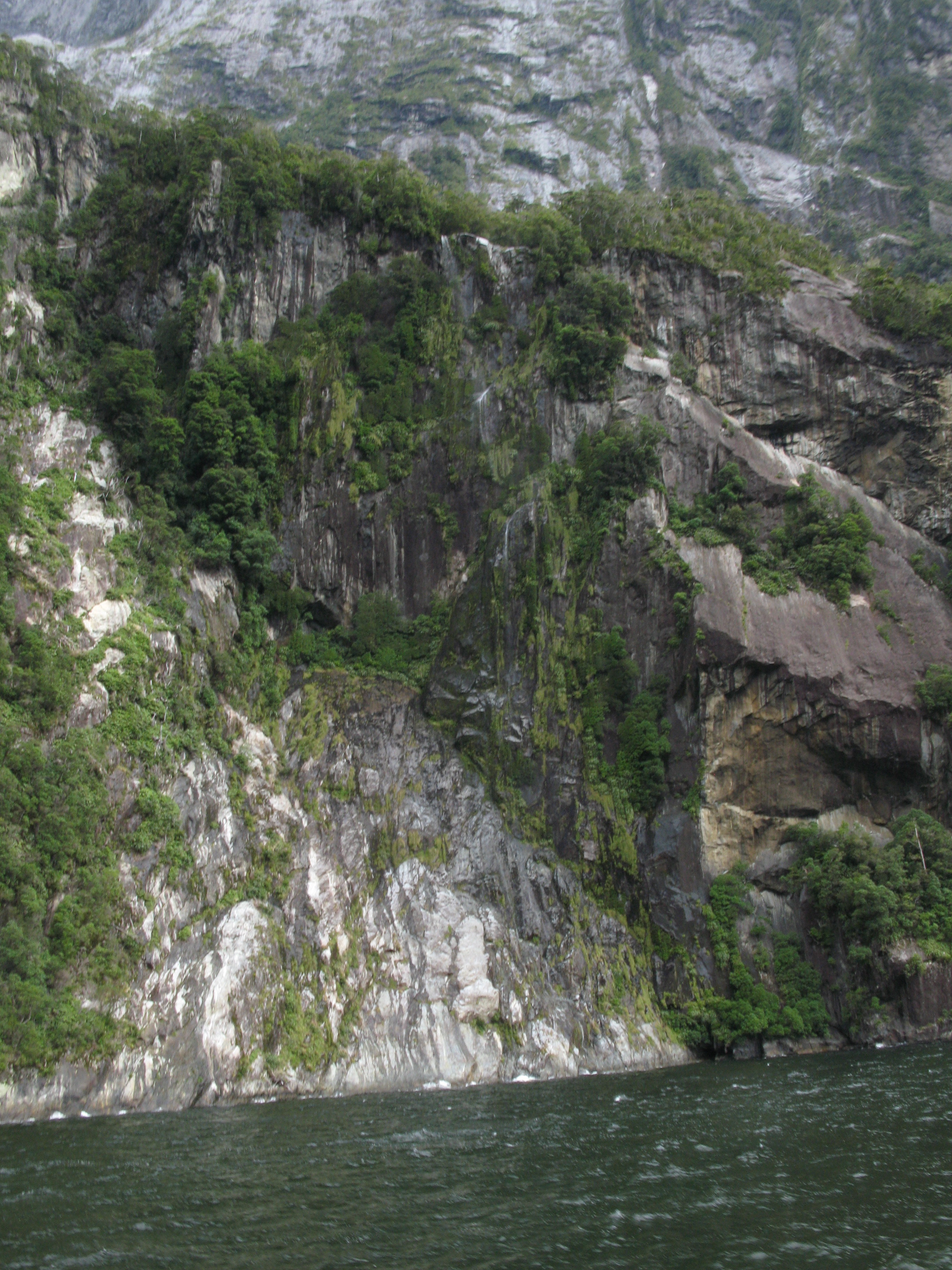
| Back among the waterfalls. |
| Back among the waterfalls. |
| Back among the waterfalls. |
| Back among the waterfalls. |
| Back among the waterfalls. |
| Back among the waterfalls. |
| Back among the waterfalls. |
| Back among the waterfalls. |
| Back among the waterfalls. |
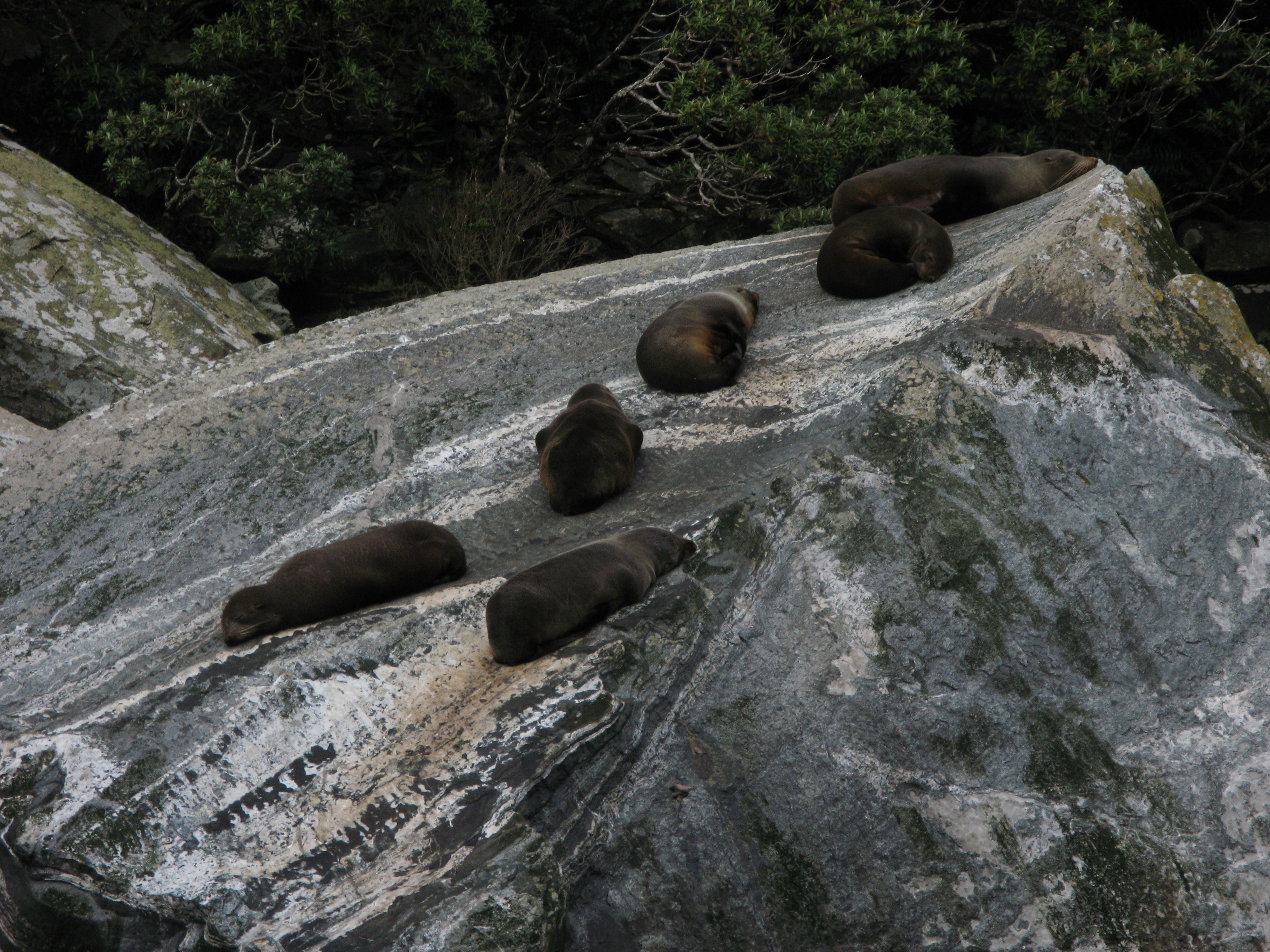
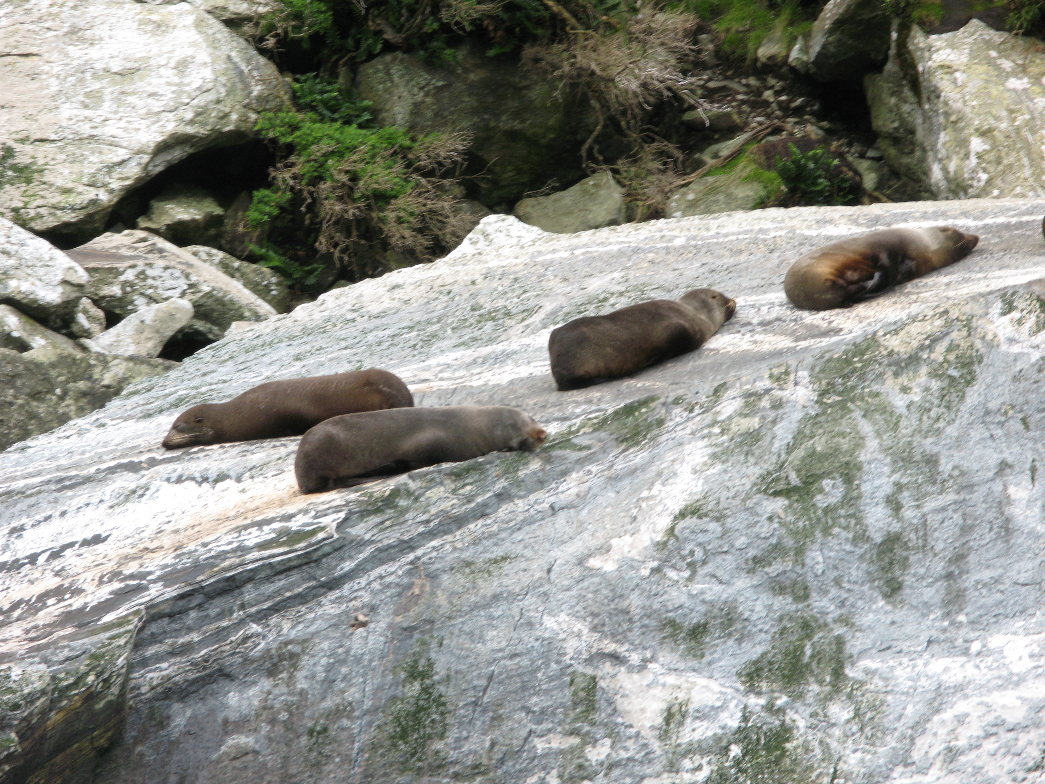
| More snoozing fur seals. |
| More snoozing fur seals. |
| More snoozing fur seals. |
| More snoozing fur seals. |
| We bid the seals good-bye. They didn't even look up when we showed up. I guess they're used to tourists. |
| Back in the Sound. |
| Mitre Peak ridge. |
| Coming up on Stirling Falls. |
| Coming up on Stirling Falls. |
| Stirling Falls. |
| Stirling Falls. Named by some guy named Captain Stirling, after, um, himself. That's audacity. |
| Radial patterns as the water hits the sea. |
| Under Stirling Falls. |
| Wet bell leaving Stirling Falls. |
| The overhang of the Lion. |
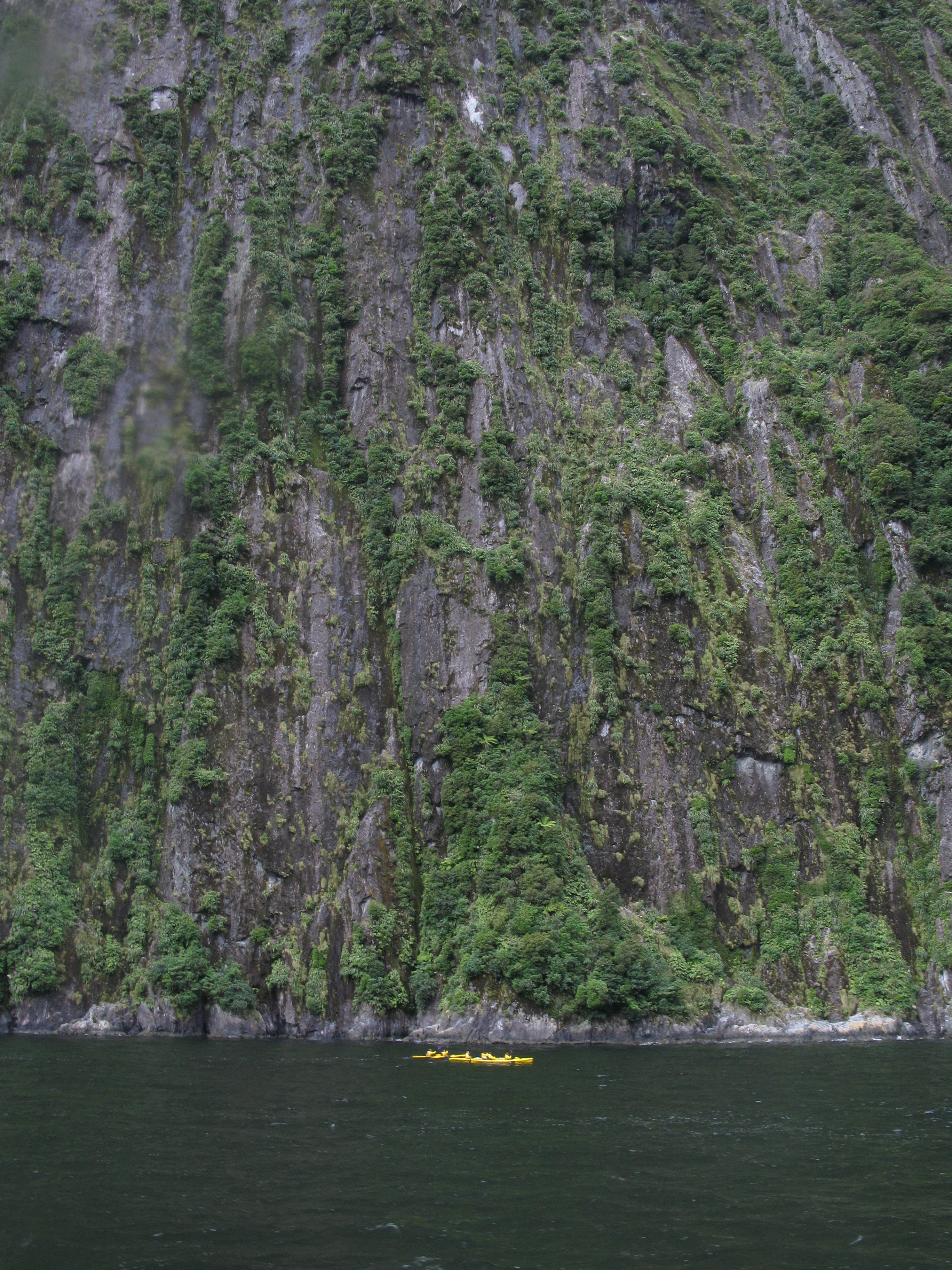
| Kayakers in the water. |
| Back out to sea. |
| Heading past Mitre Peak (just before I had to again unwind the ensign from the spar). |
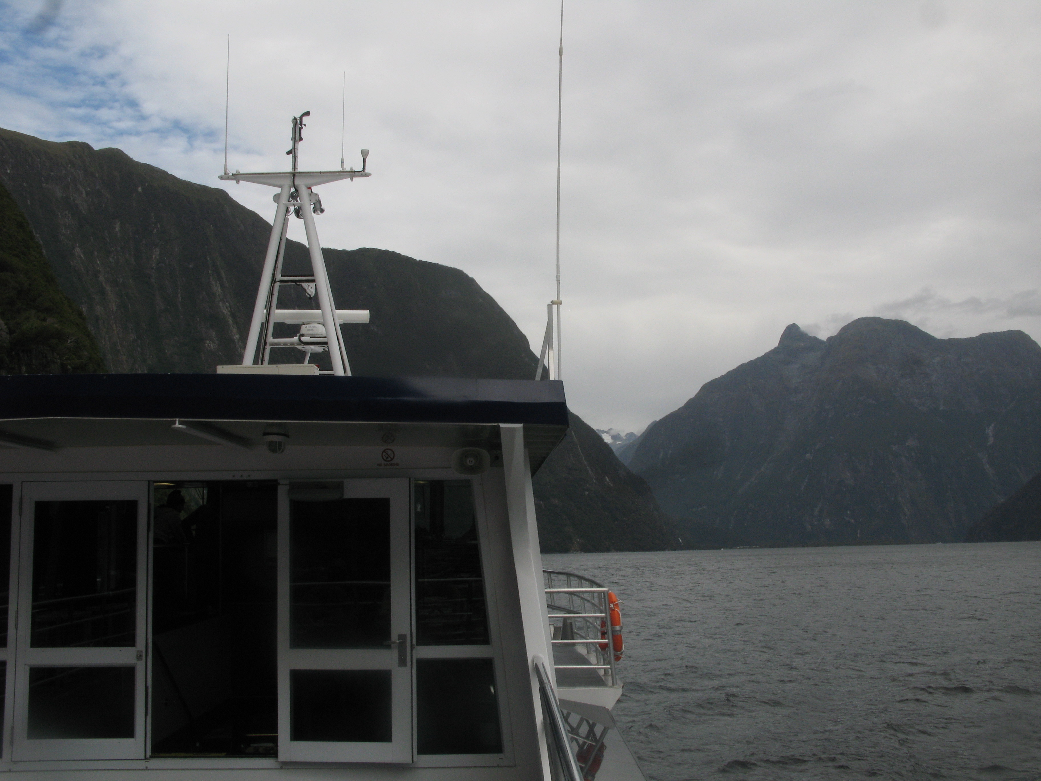
| Heading back to the terminal. The pointy bit is Mount Philipps. |
| Cascade Peak. |
| Rounding the cape into Harrison Cove. |
| Mills Peak. |
| Harrison Cove, the only safe anchorage in the Sound. |
| Mount Pembroke comes into view. |
| Mount Pembroke and the mouth of the Harrison River. |
| Mount Pembroke. |
| The Lion. |
| Mitre Peak. |
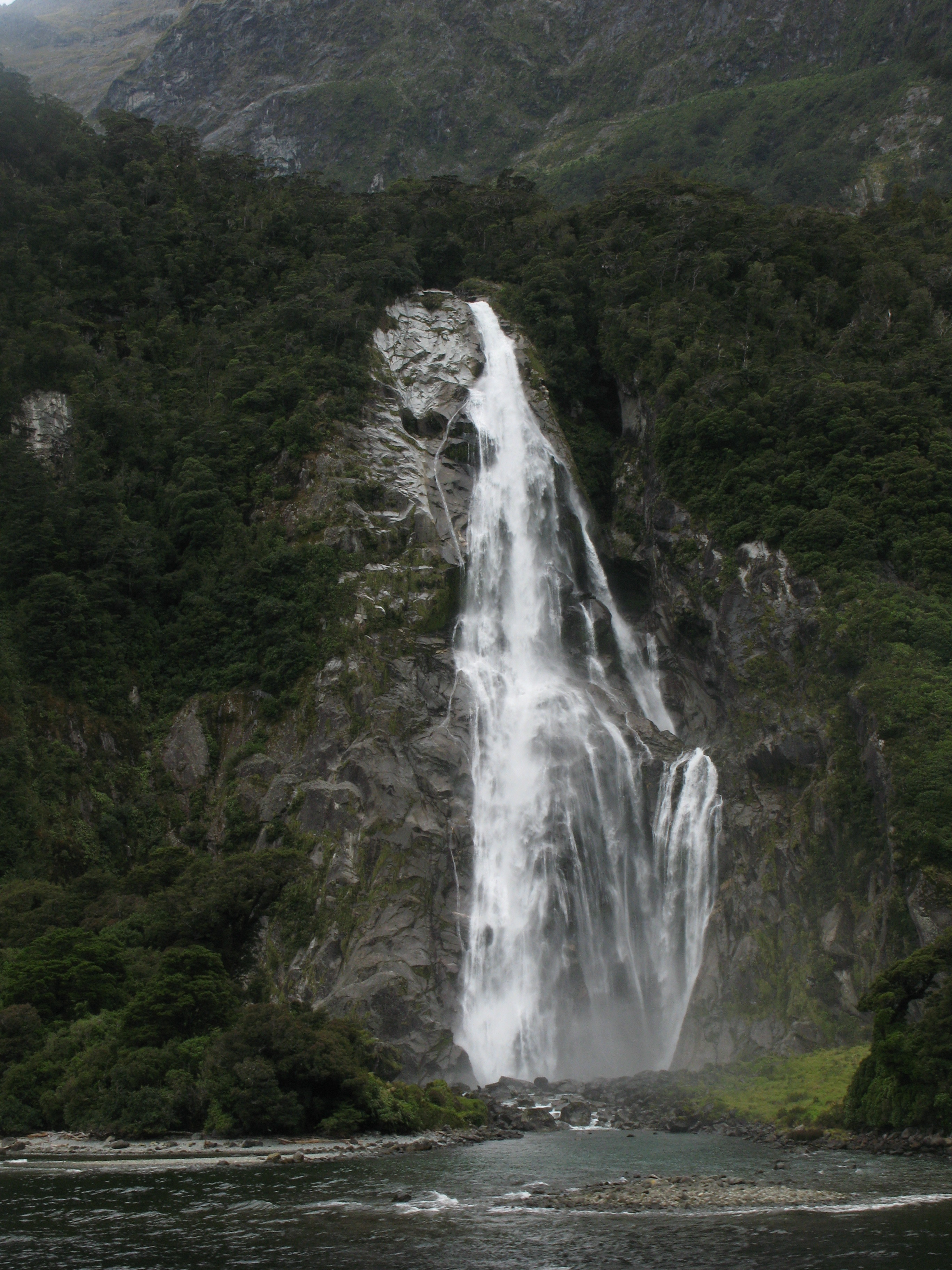
| Back to Bowen Falls. Water from the Bowen river is diverted to the settlement for its use, and also to generate electricity. |
| Bowen Falls. |
| Bowen Falls. |
| Back at the terminal. |
| Back in port. No more cruises today; everyone's back in their berth. |
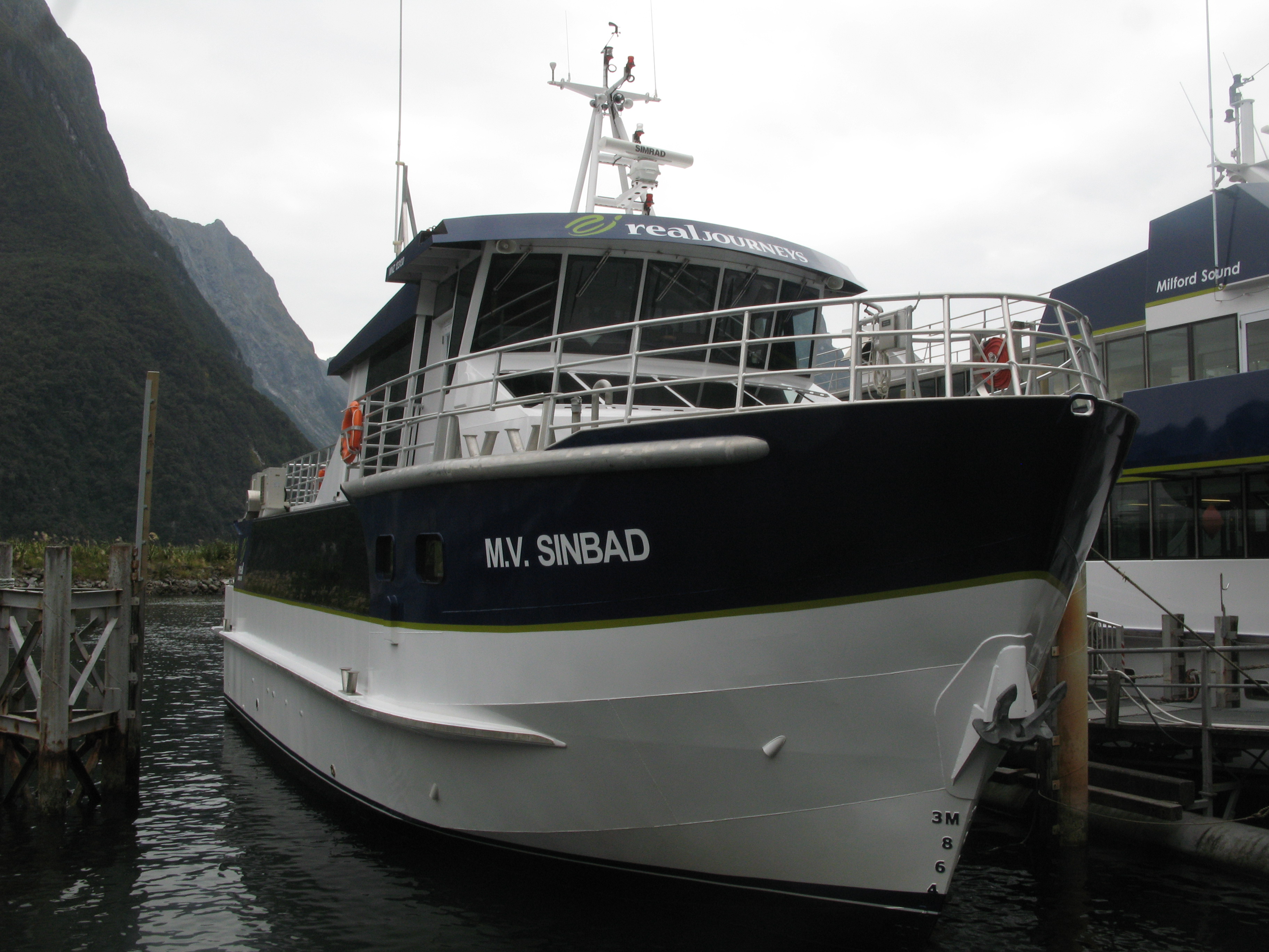
| The M.V. Sinbad, our cruise ship. |
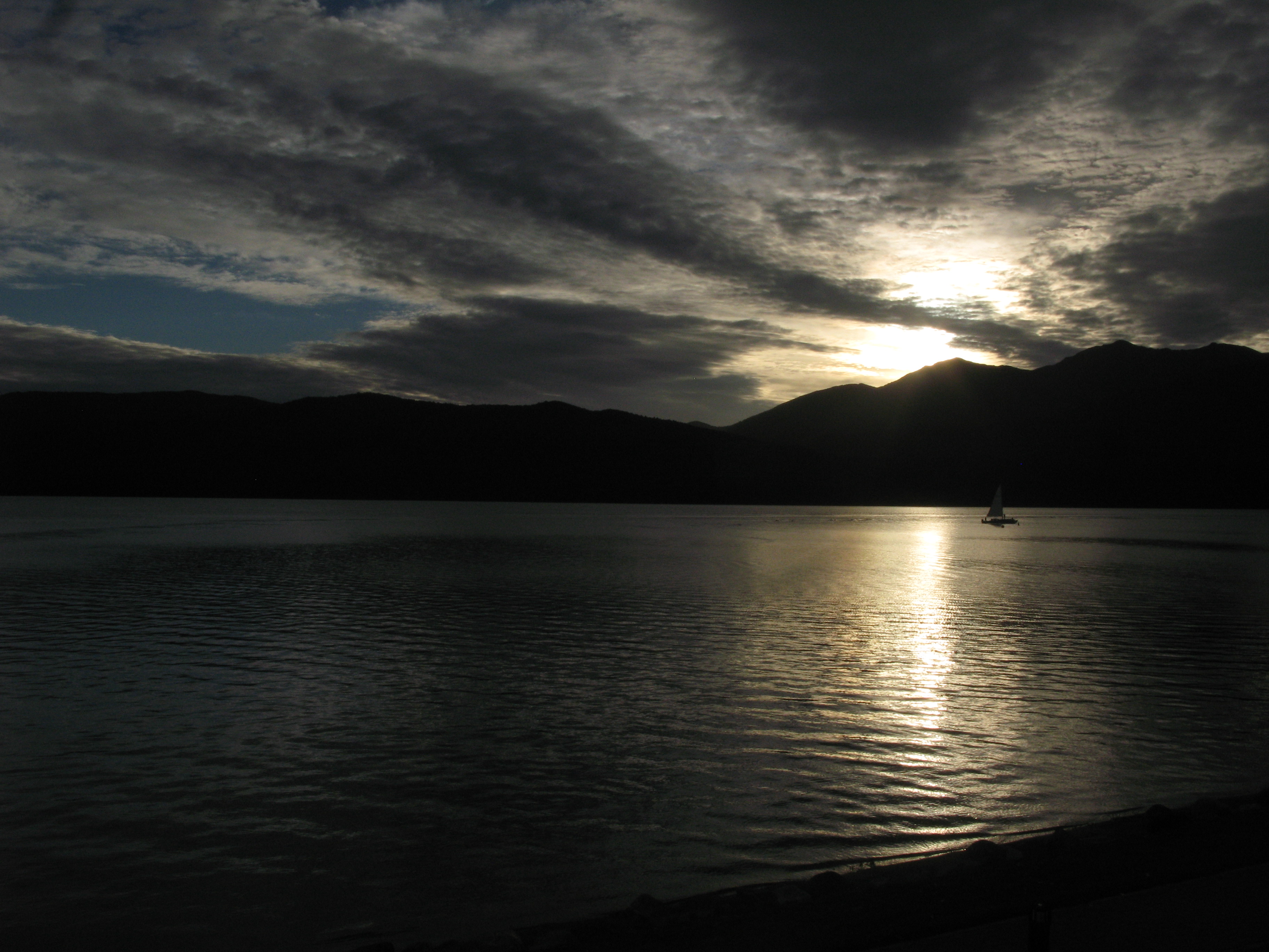
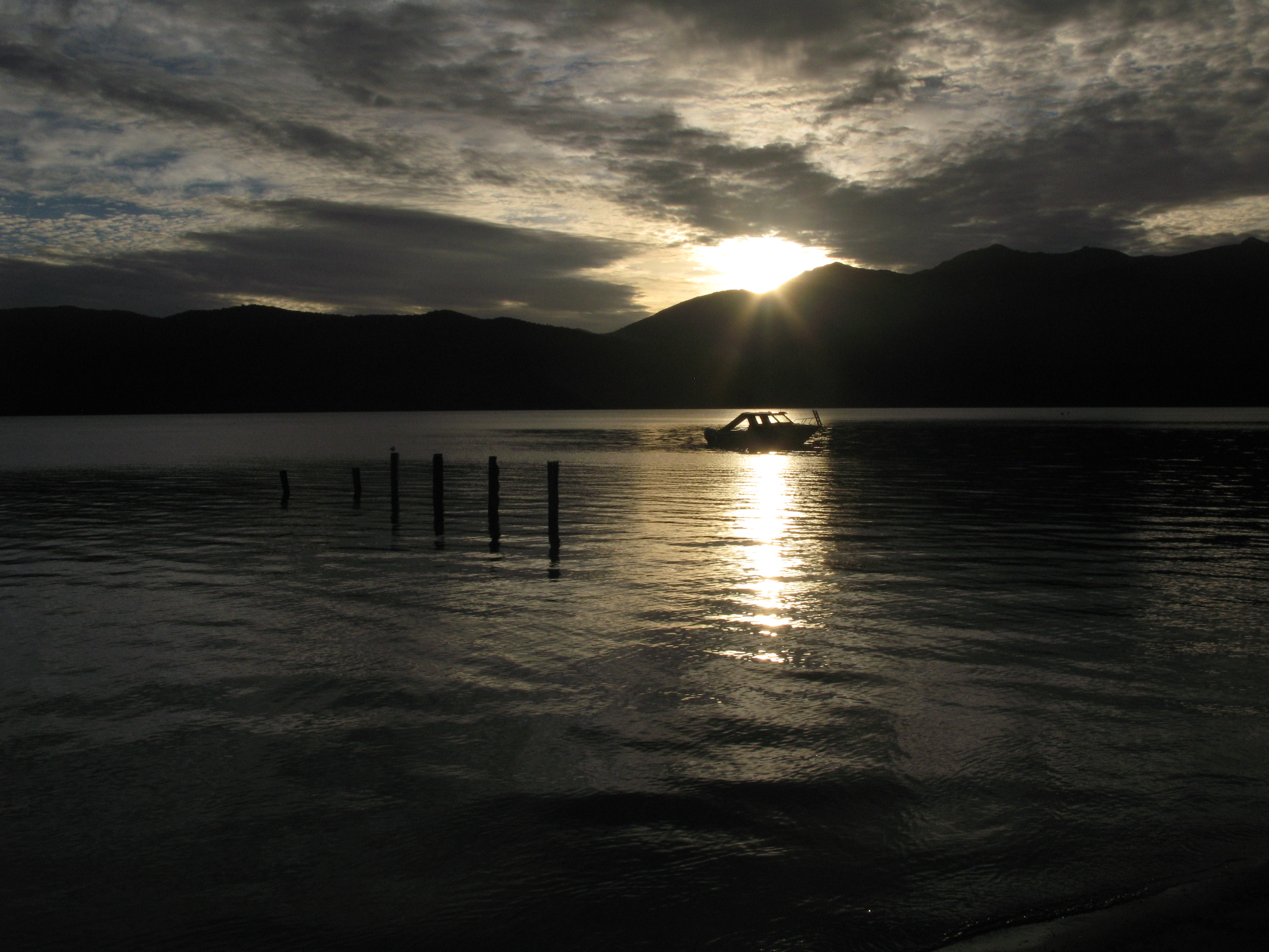
| Sunset over Lake Te Anau. |
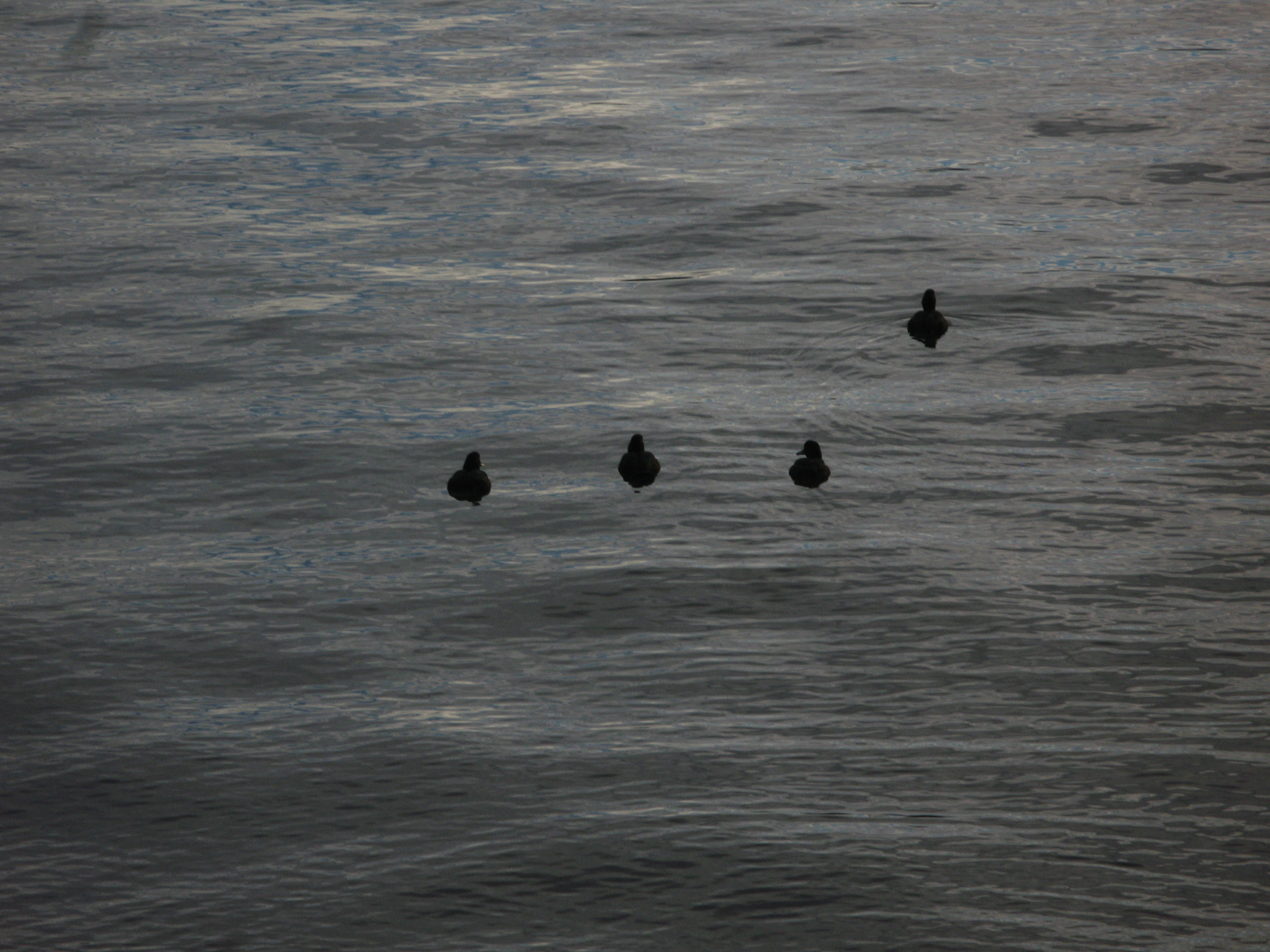
| Ducks on the lake. |
| Sunset over Lake Te Anau. |
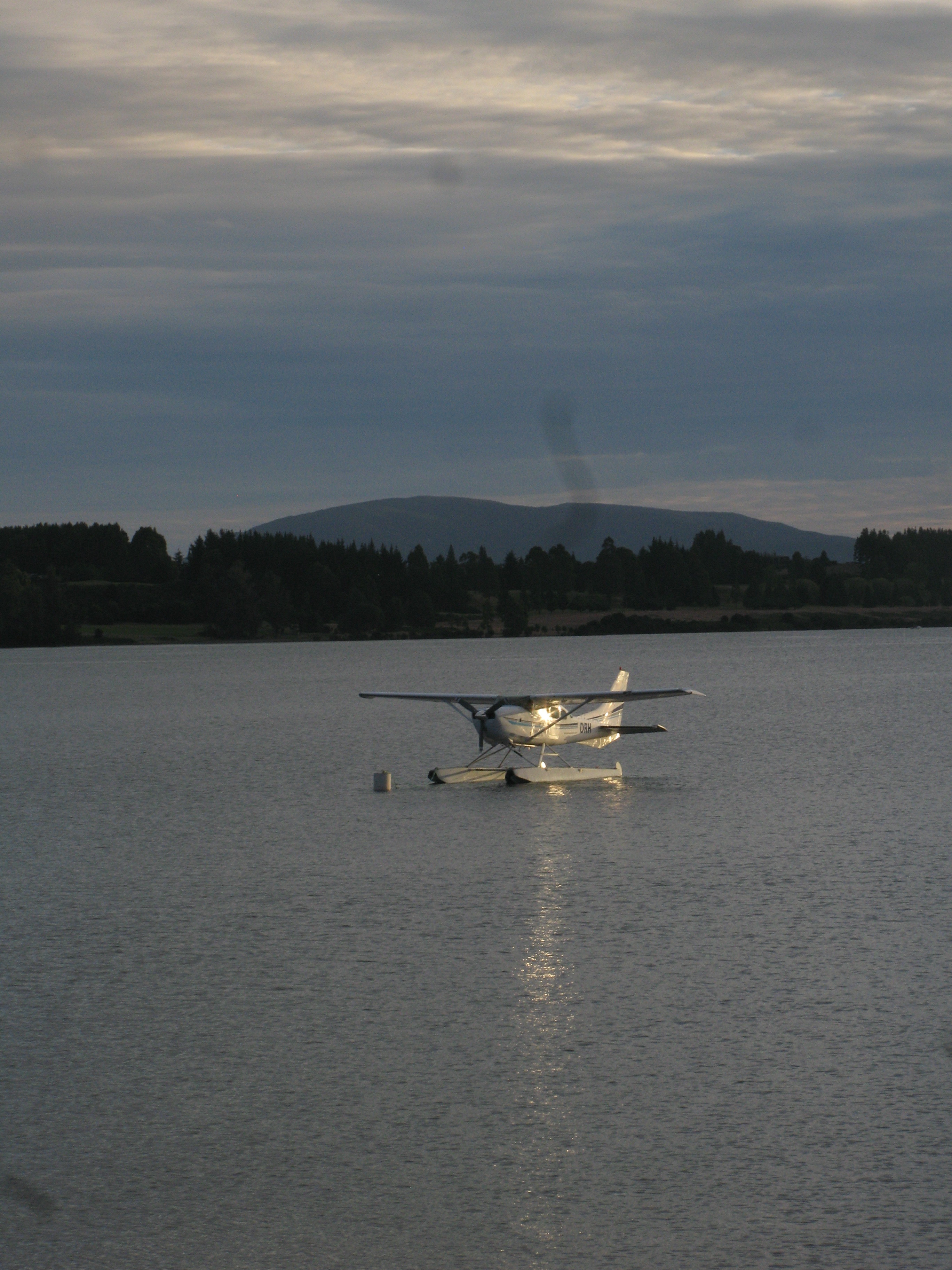
| A floatplane parked (moored?) on the lake. |
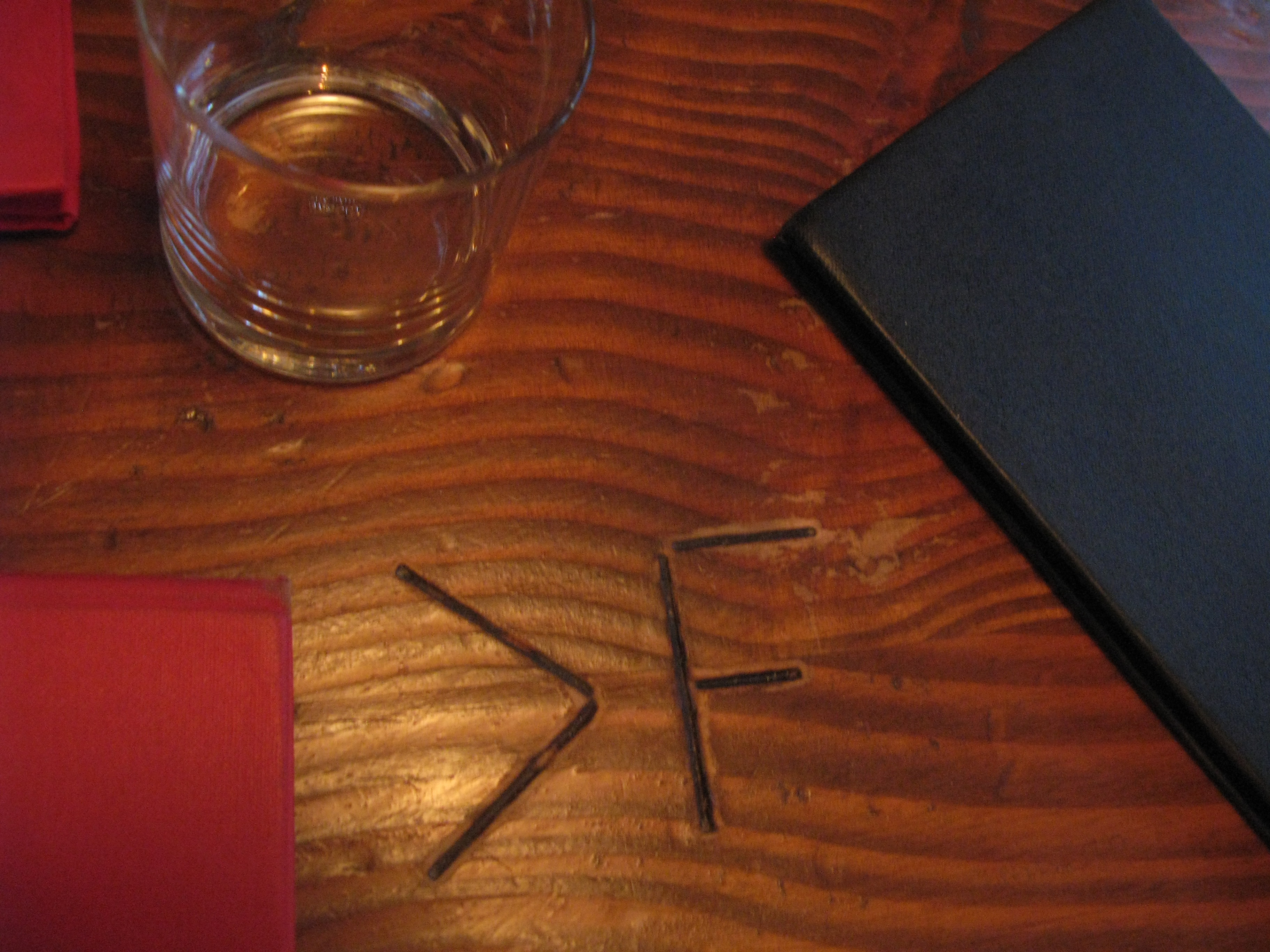
| My table at the Redcliff Café was number greater-than-F. There was no indication on how to calculate F. |
| Dinner! Local hare, perfectly cooked. |
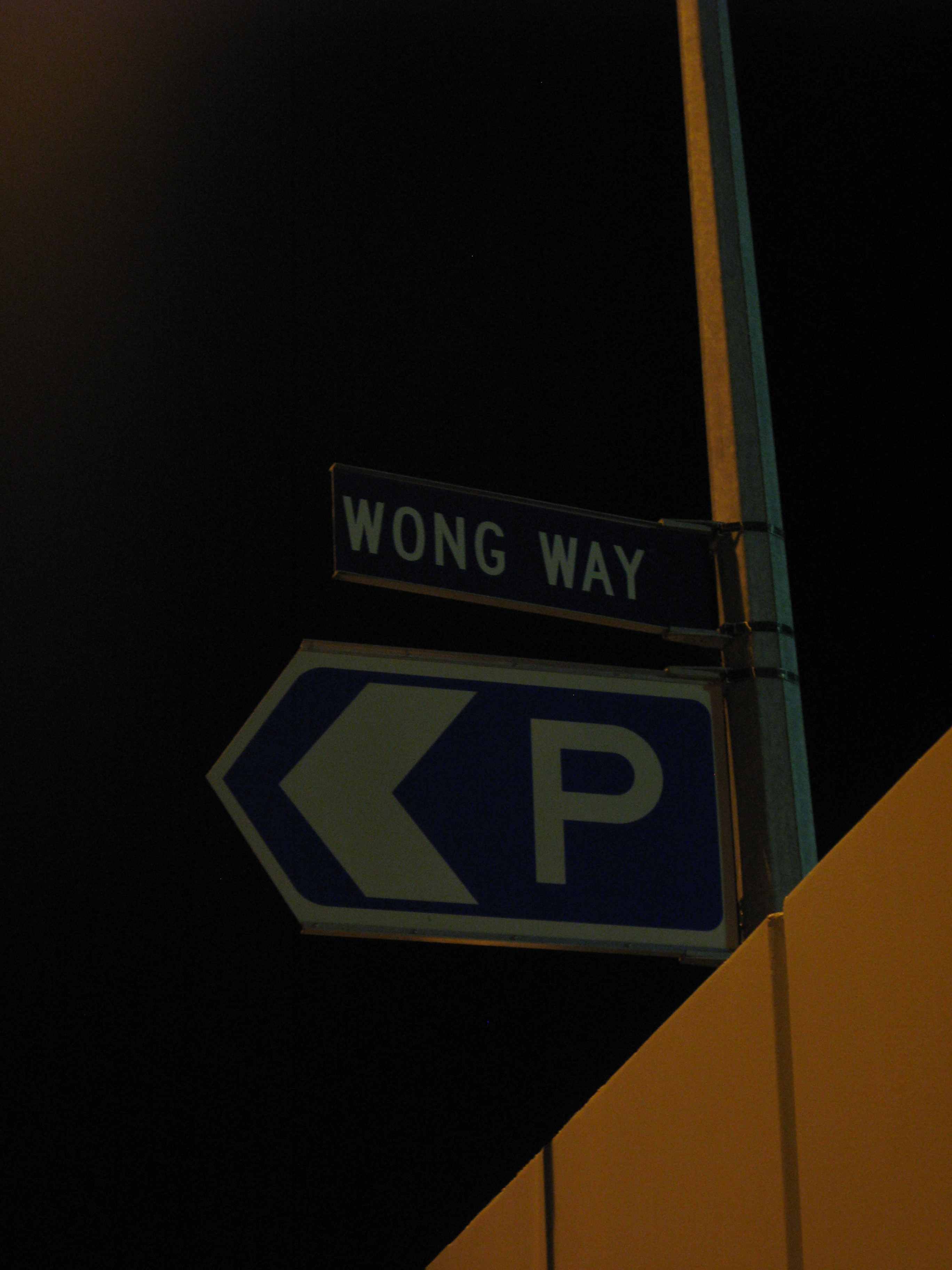
| The Wong Way in Te Anau. |
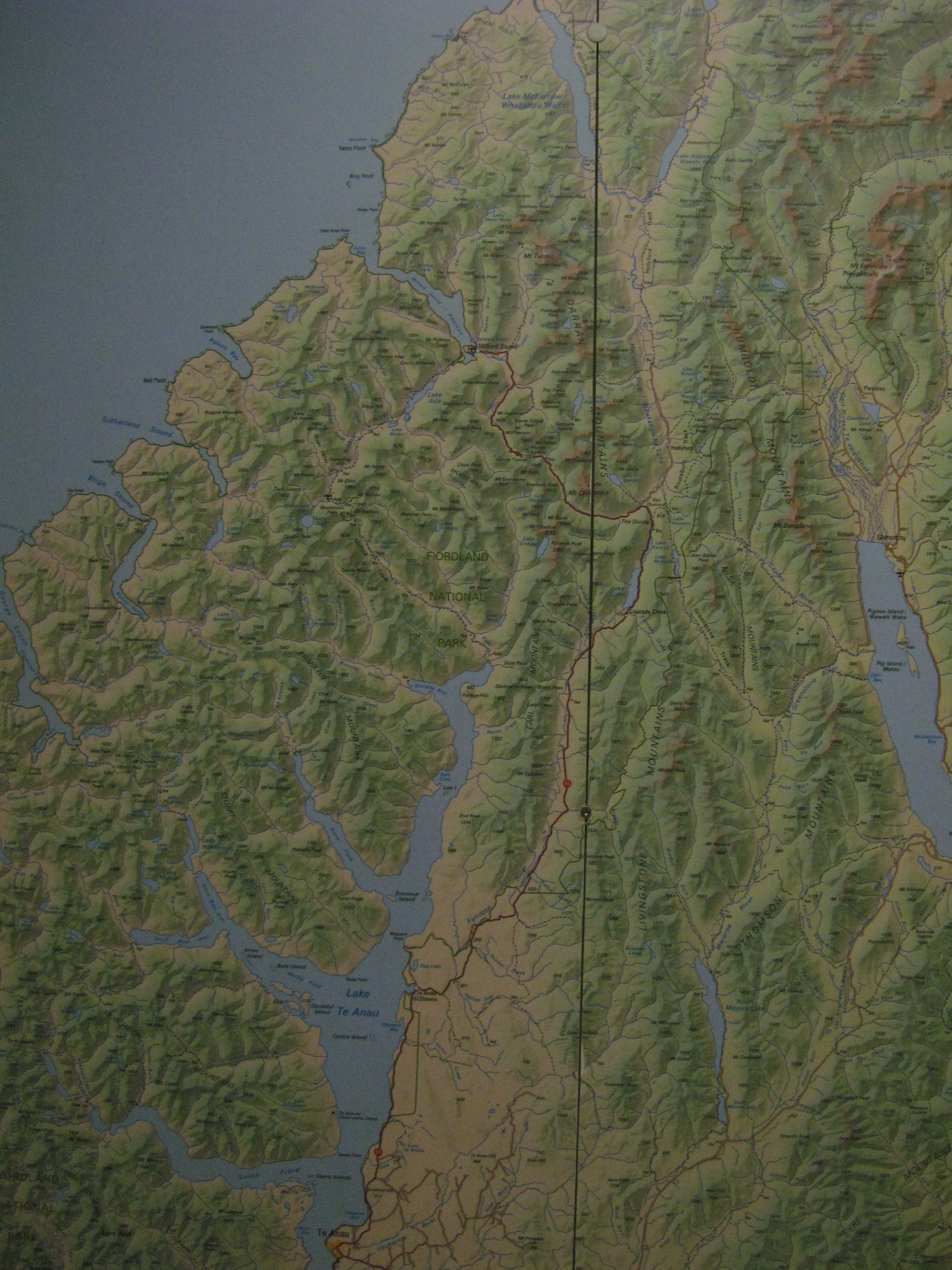
| A map of the Te Anau—Milford Sound road. Winding between meadows full of sheep, the grade is fairly shallow up the Eglington River valley from Te Anau almost all the way up to Cascade Creek, at the sound end of Lake Gunn. From there it climbs up to The Divide (the lowest pass through the Southern Alps), then descends into the Hollyford River valley, before climing again up to the tunnel. West of the tunnel is a fairly steep descent into the Cleddau River valley and down to the sea. A good drive with some excellent scenery. |