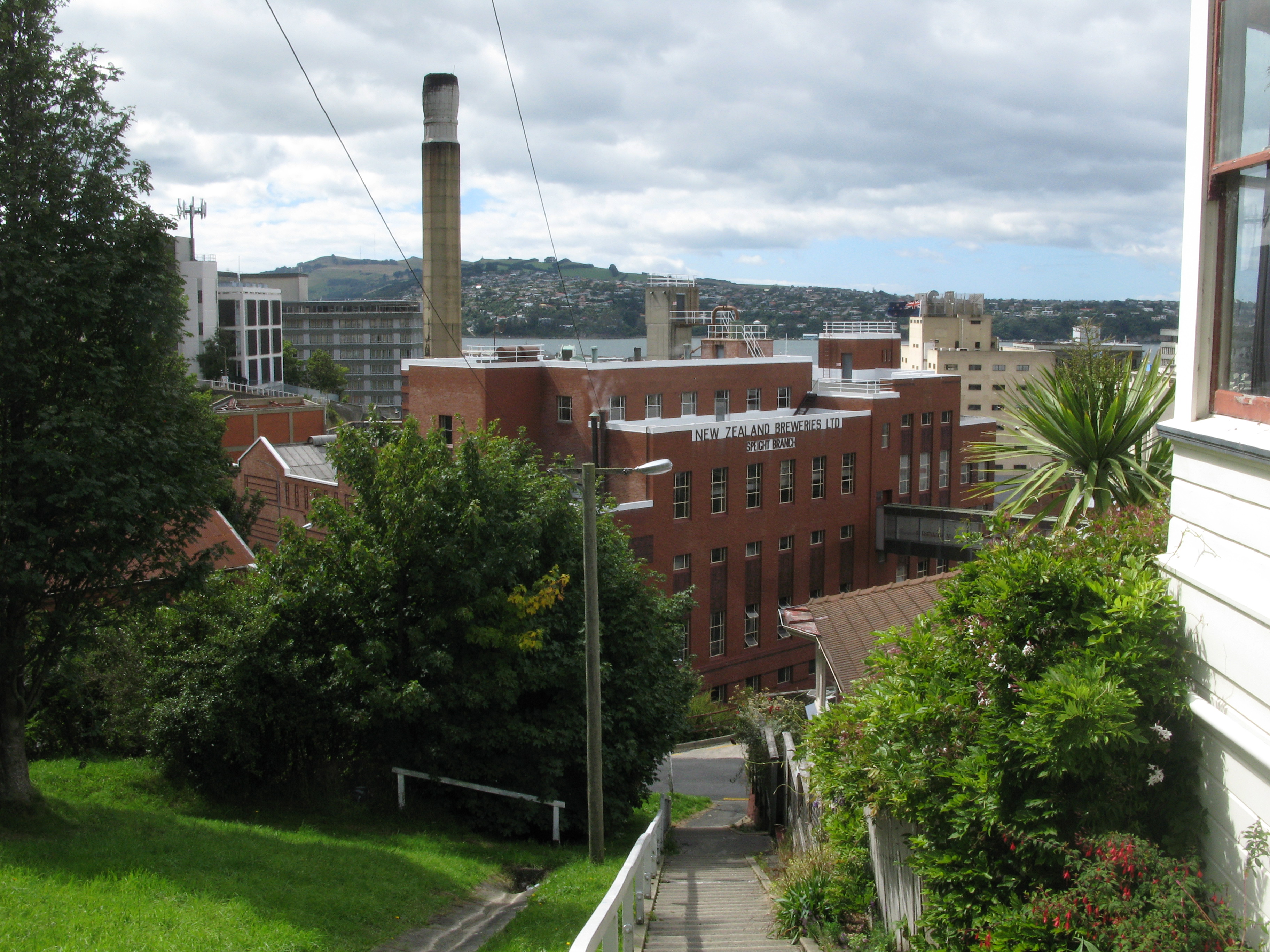


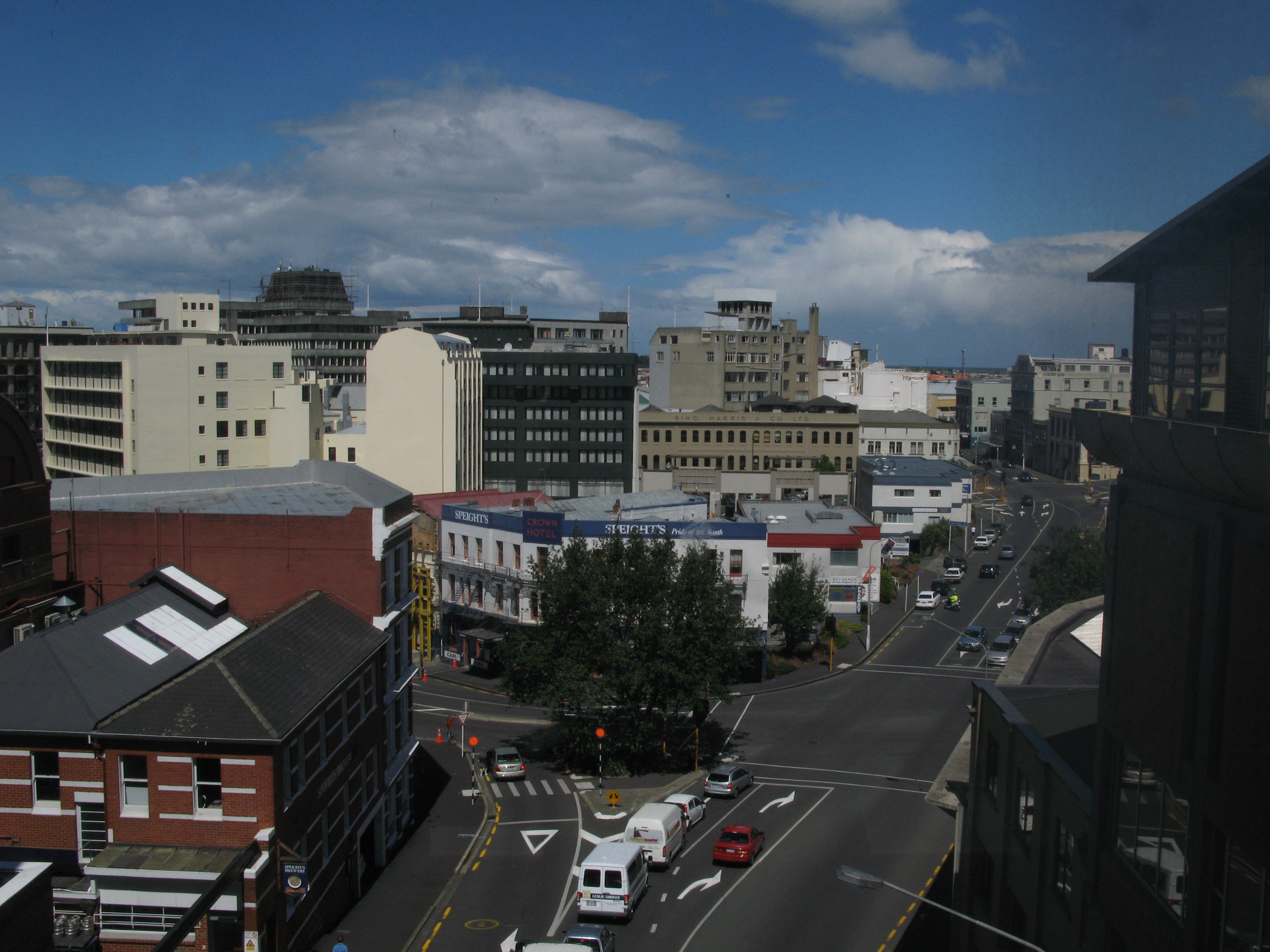


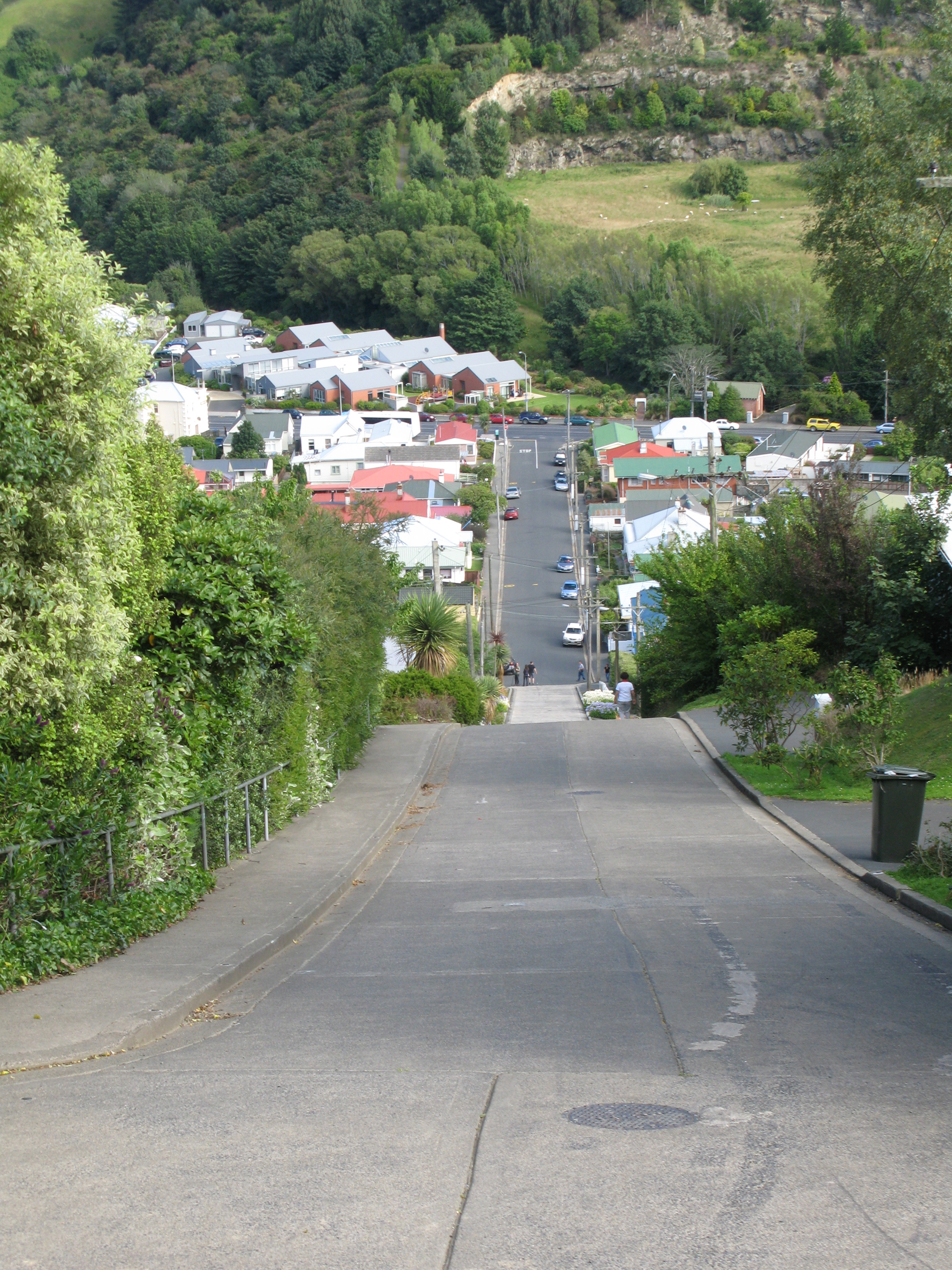


| Looking down at the Speight's Brewery from the Elm Row steps (near to where I stayed). |
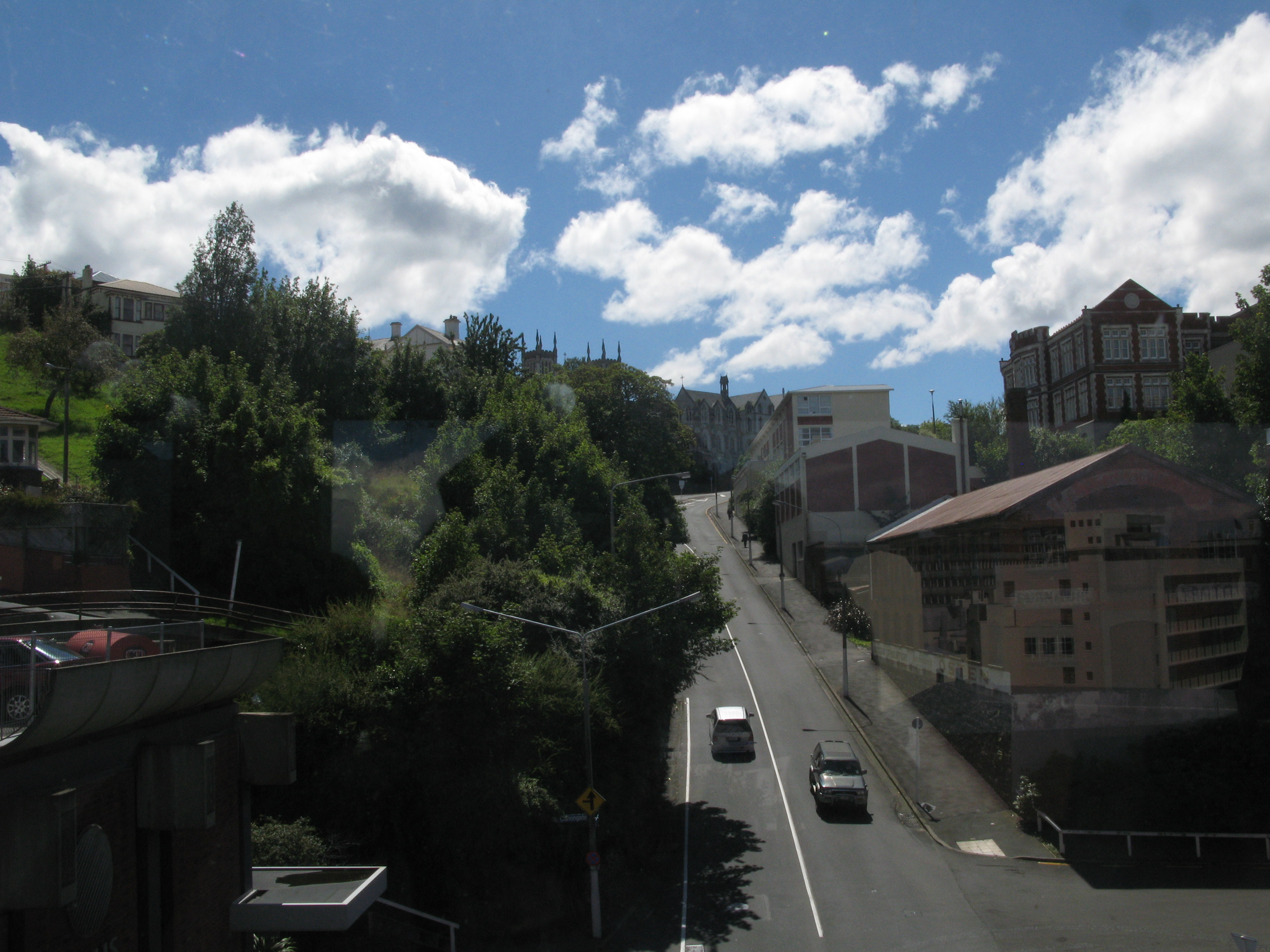
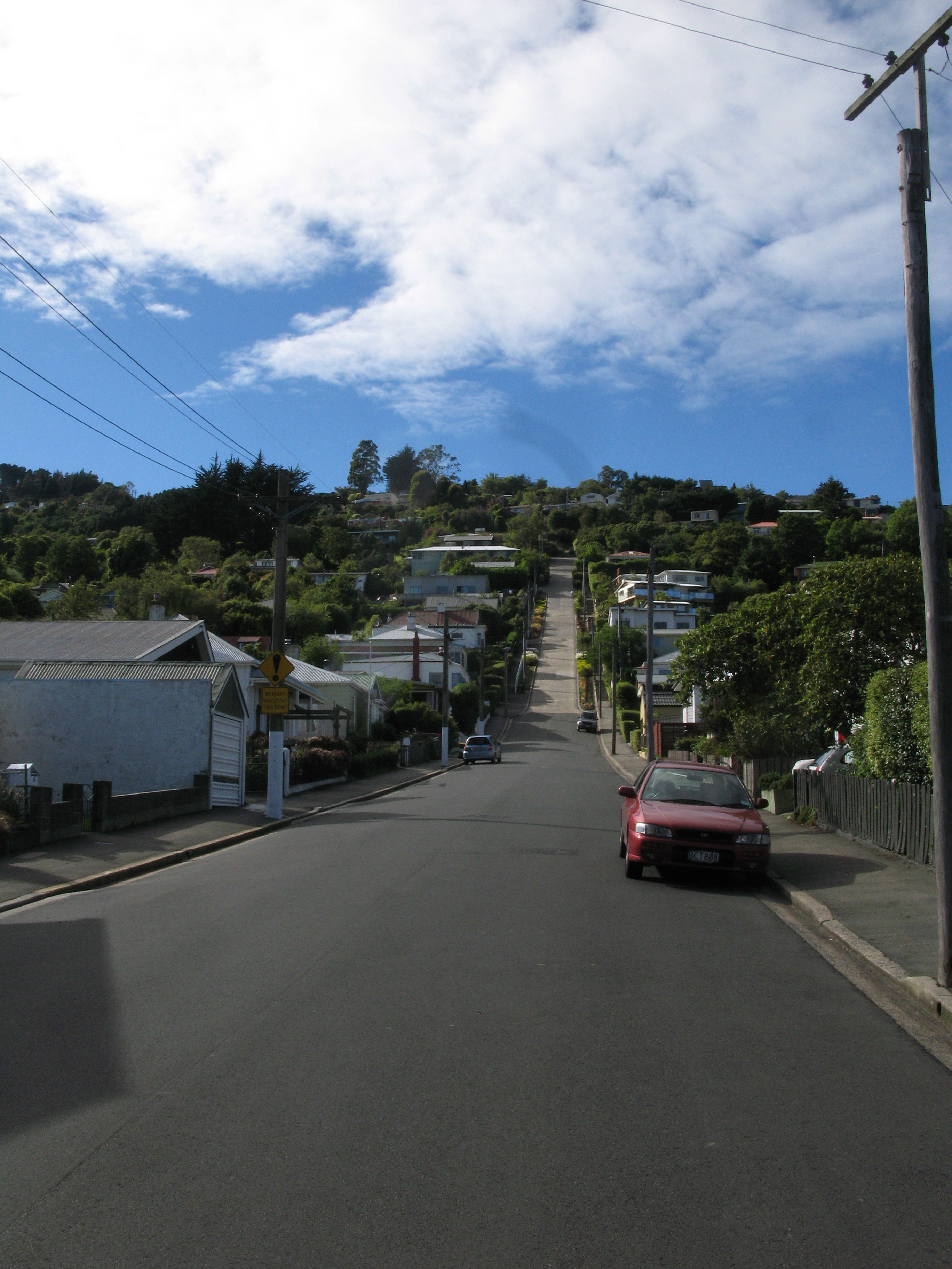
| Elm Row. It's a street. The houses along the left have Elm Row addresses. |
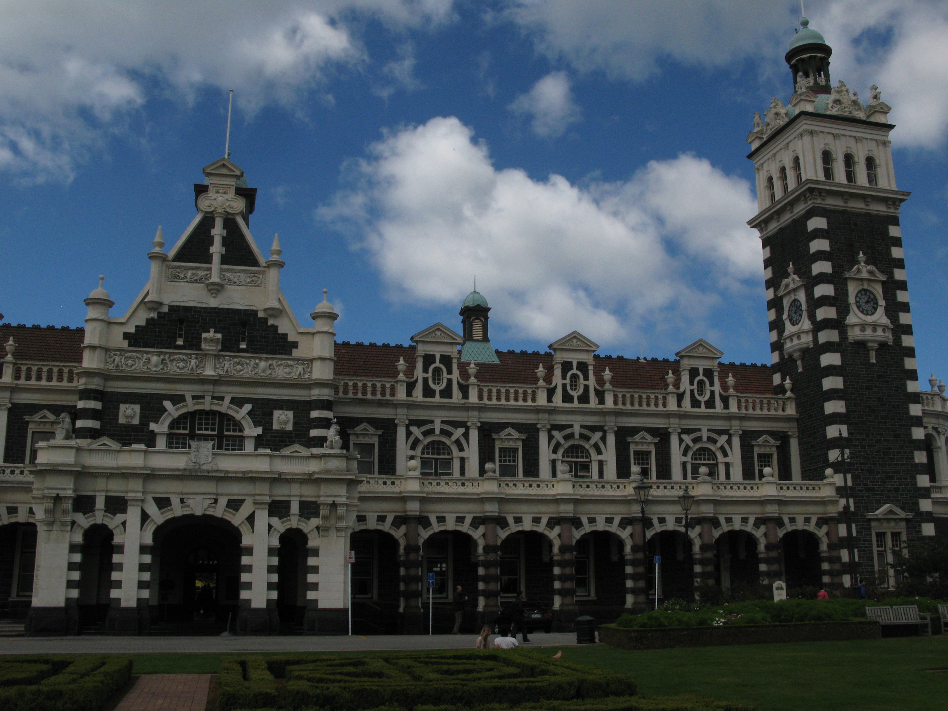
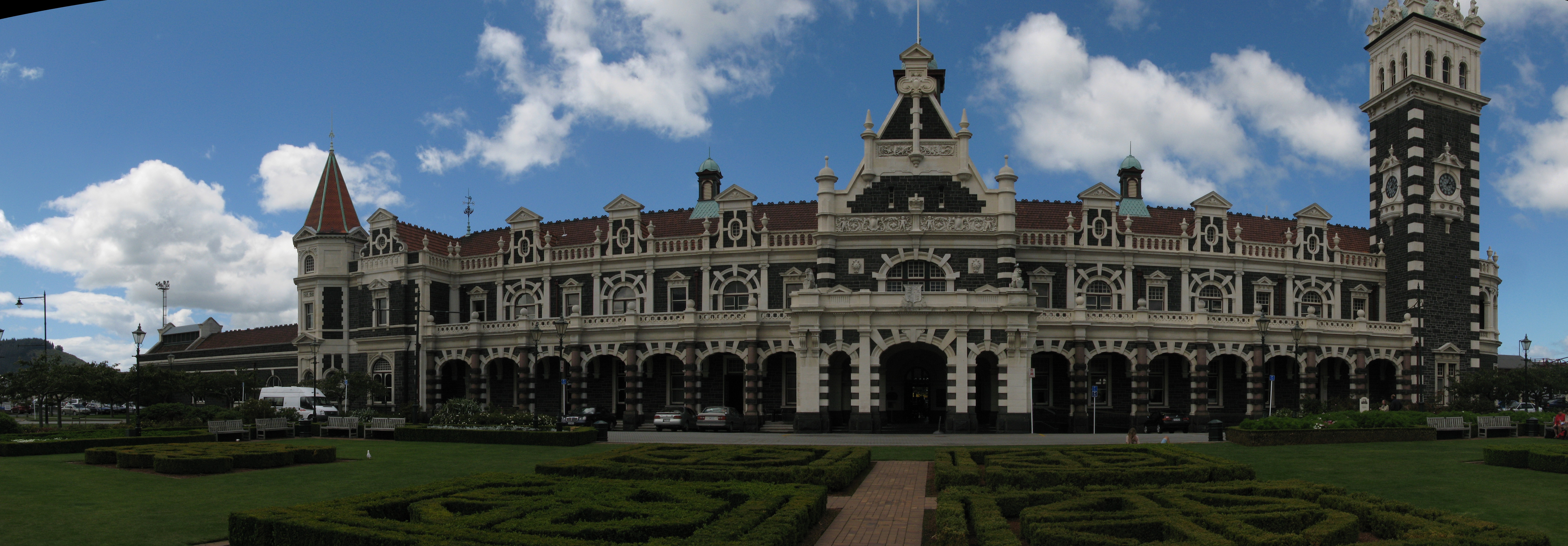
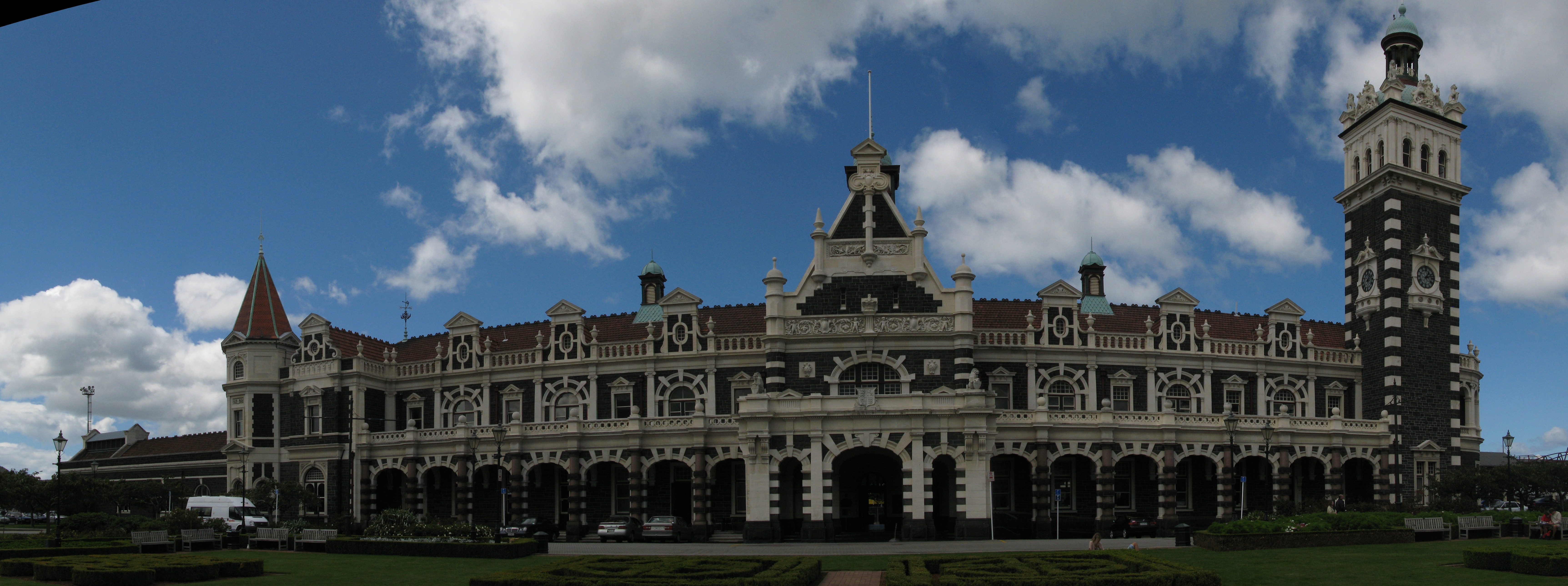
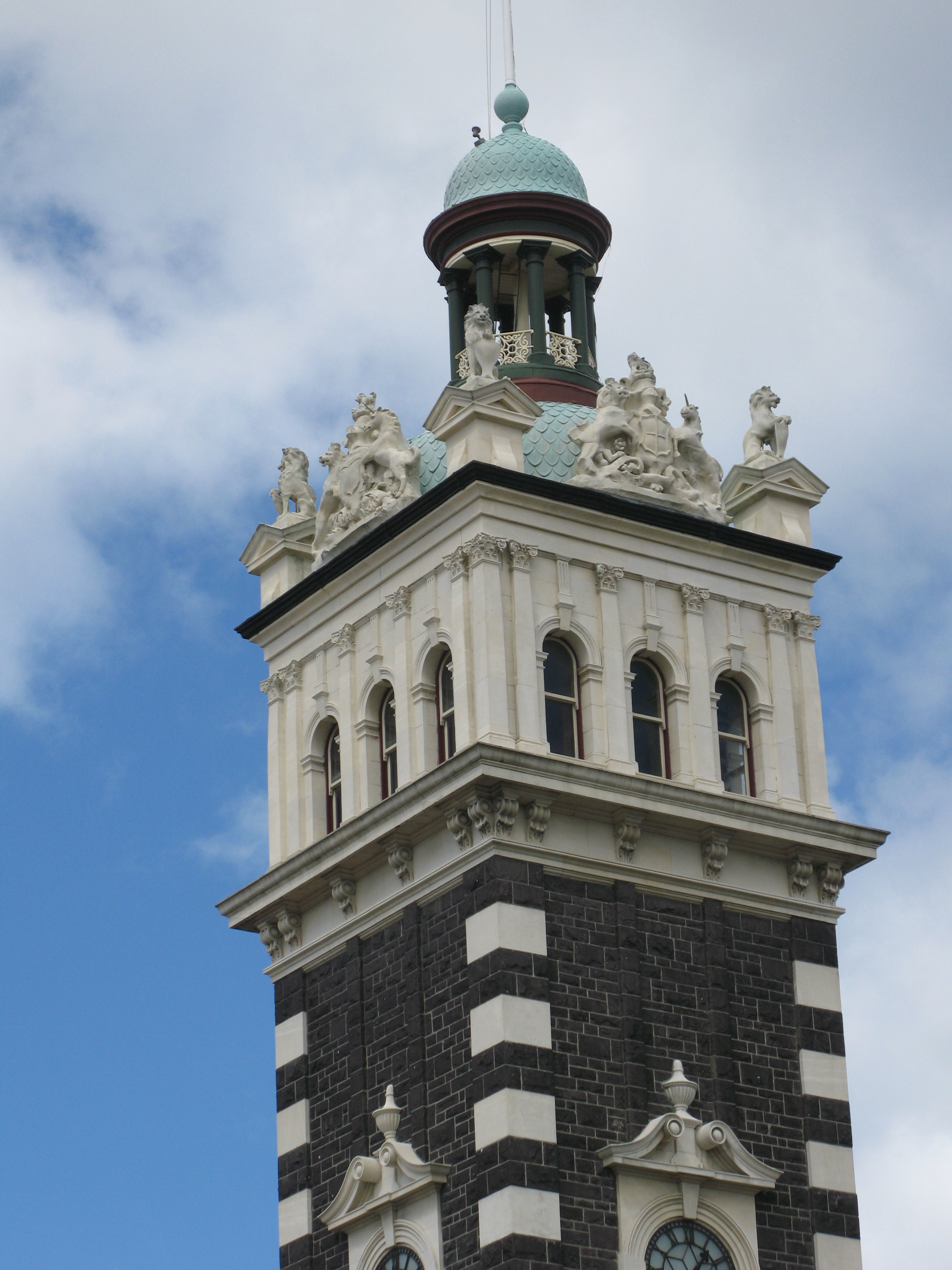
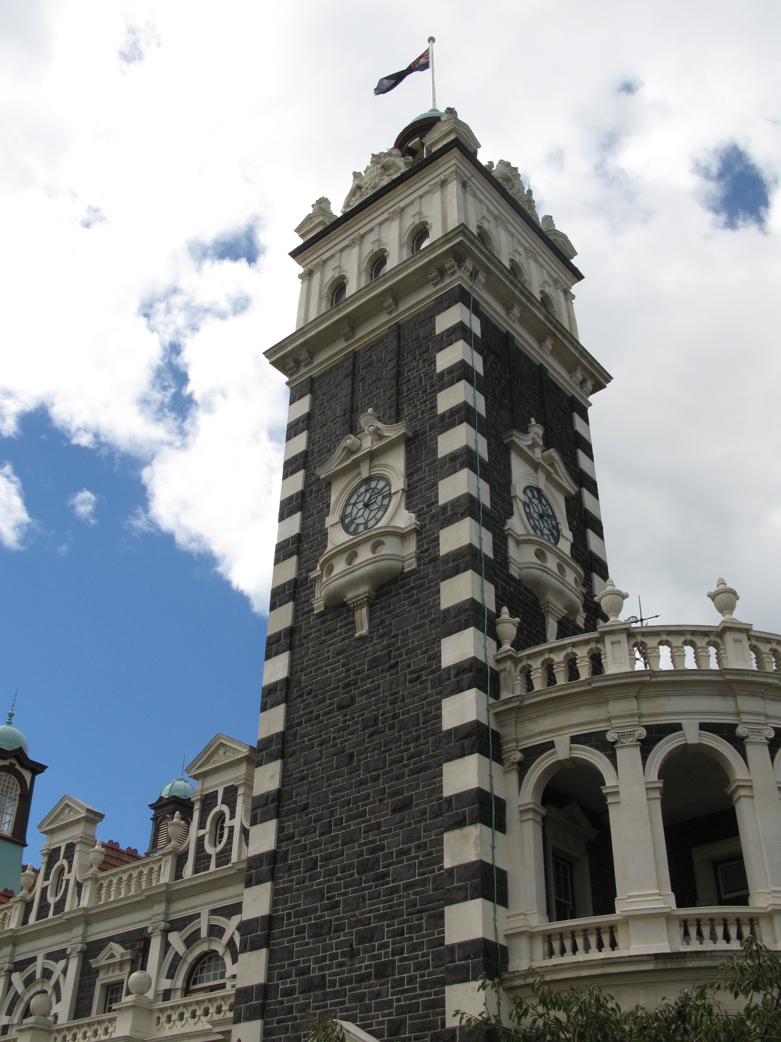
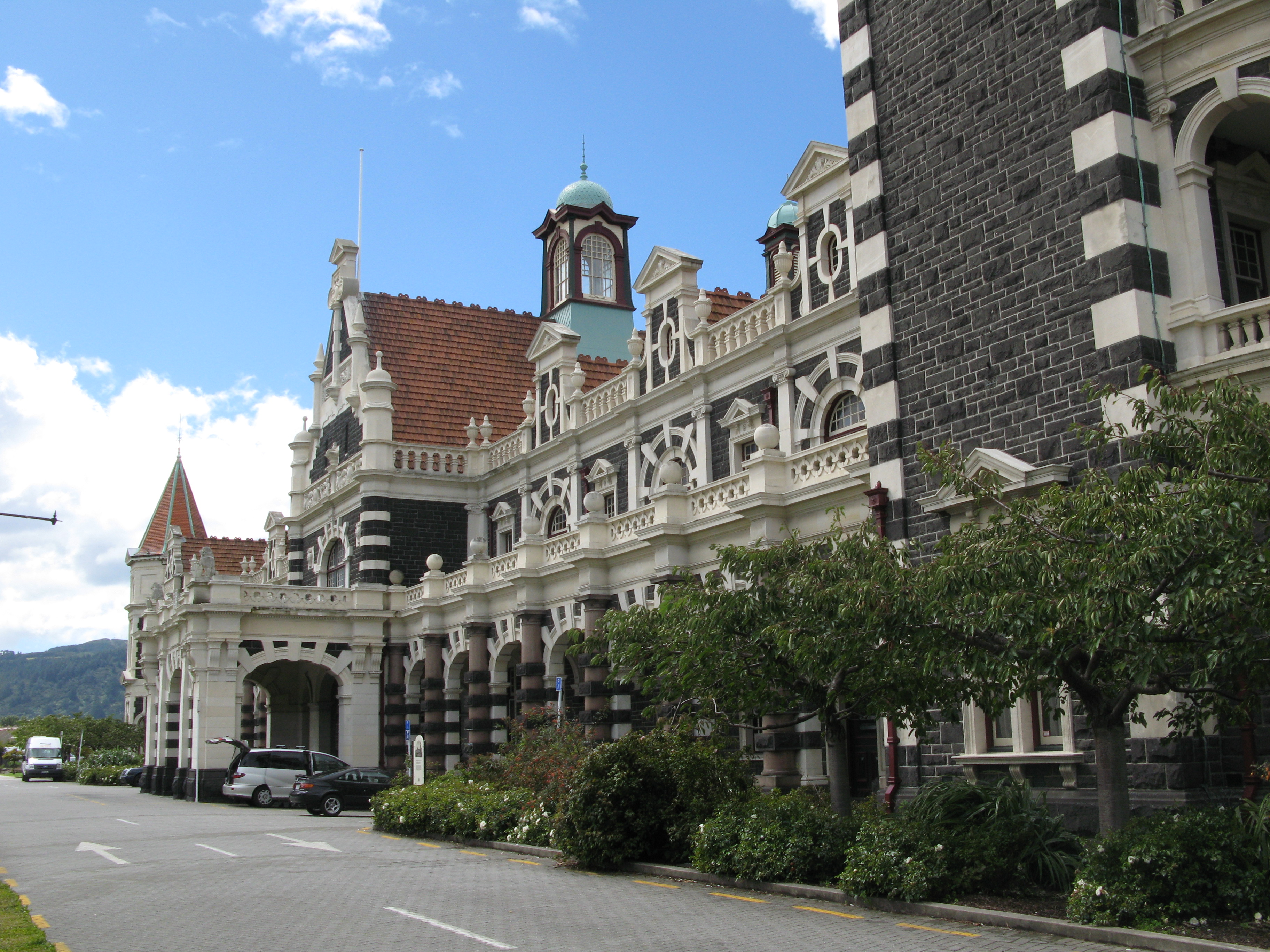
| Dunedin Train Station. Supposedly the second most photographed building in the Southern Hemisphere. |
| |
| (7556x2630, 3666.94 kb) Dunedin Train Station. | |
| |
| (6897x2578, 3115.01 kb) Dunedin Train Station. | |
| Dunedin Train Station. |
| Dunedin Train Station. I guess I'm doing my best to add to the tally. |
| Dunedin Train Station. |
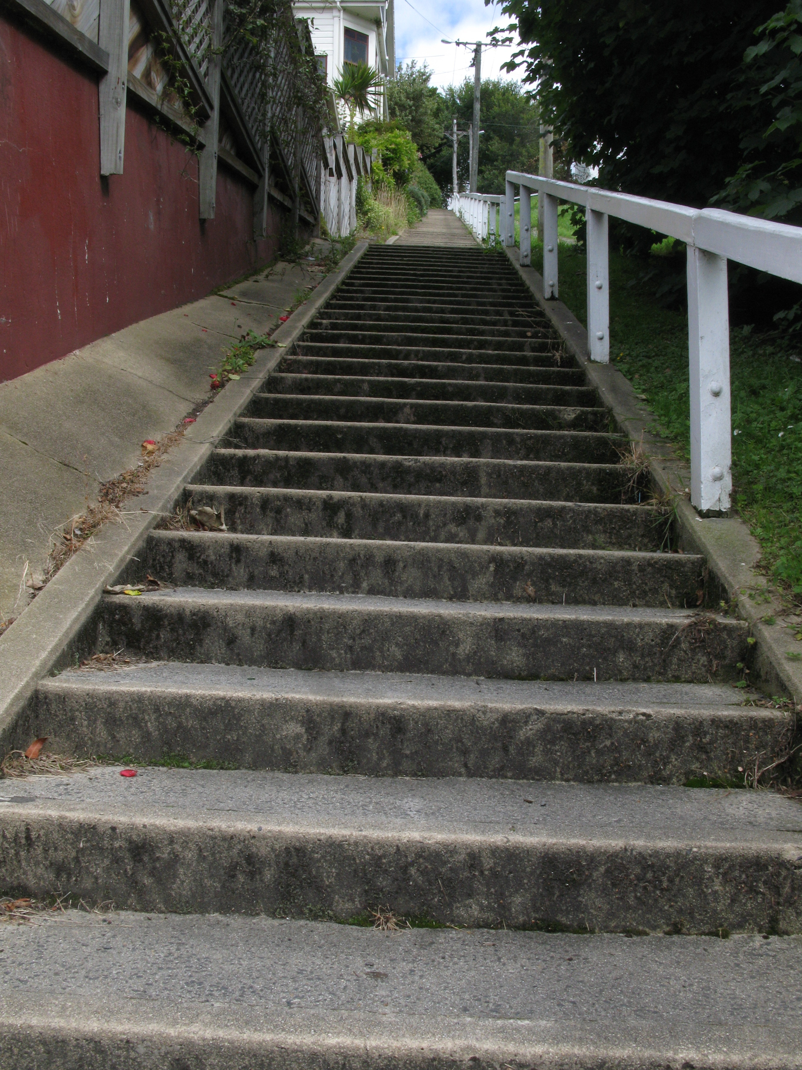
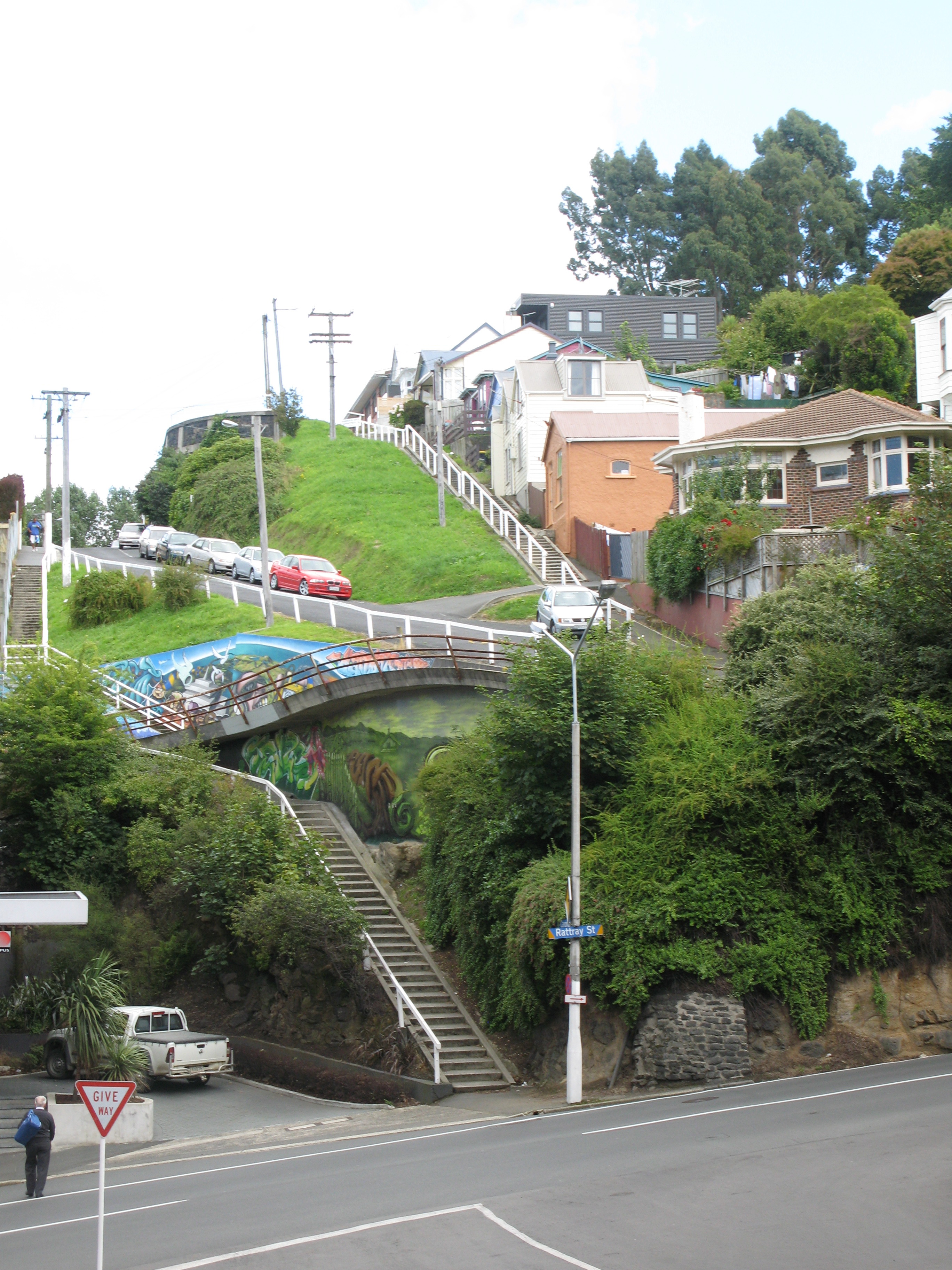
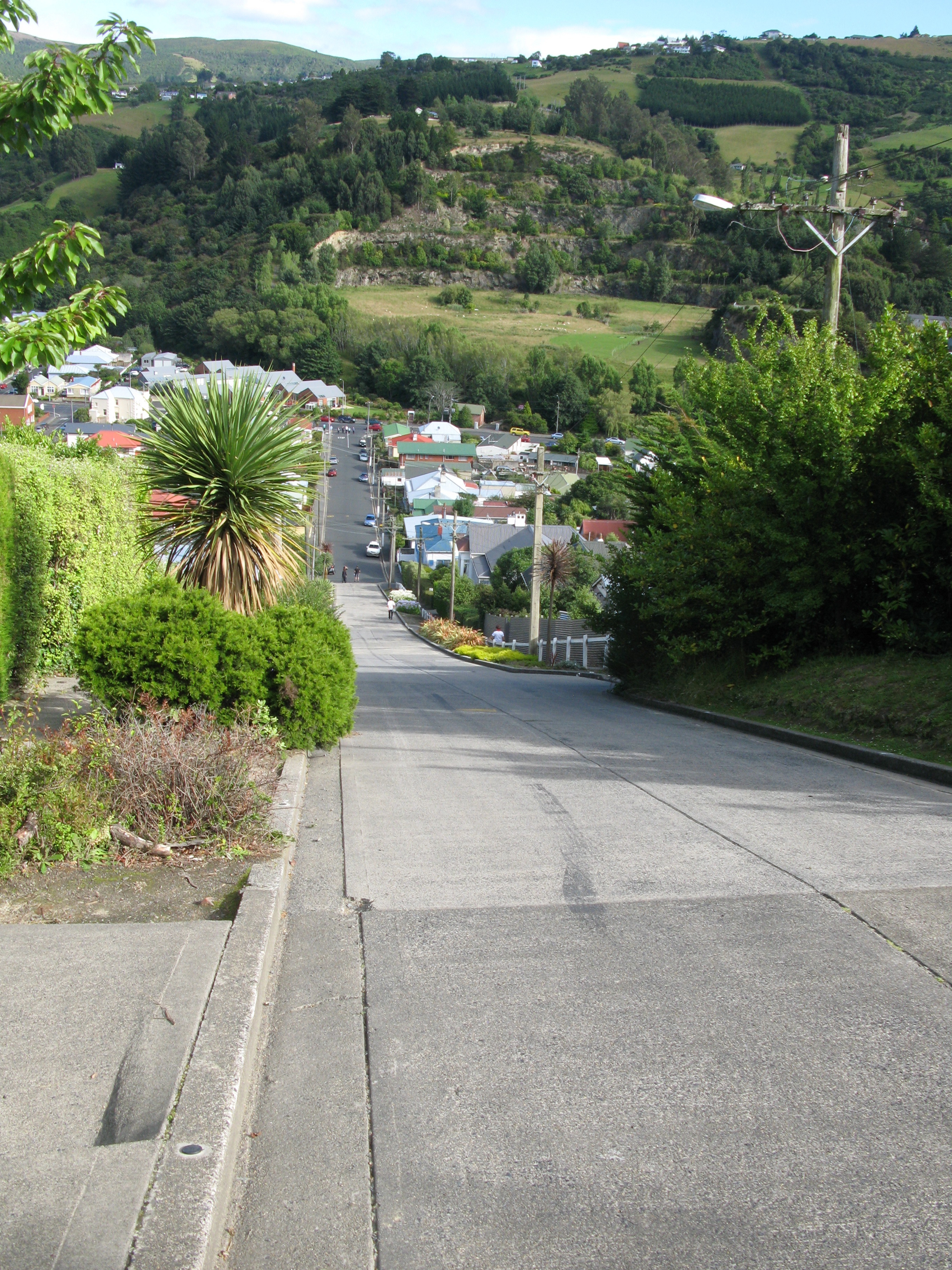
| Another stair. |
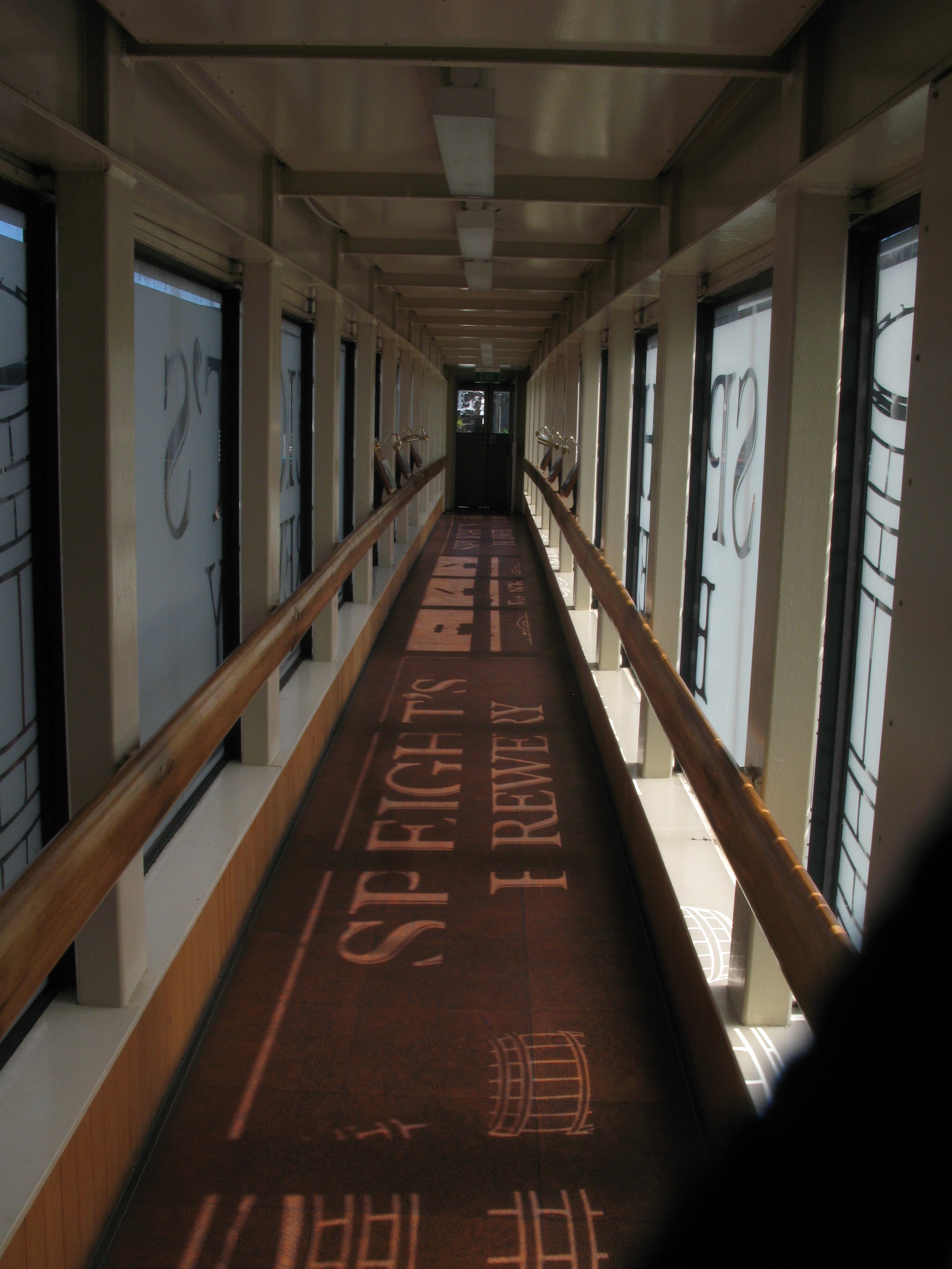
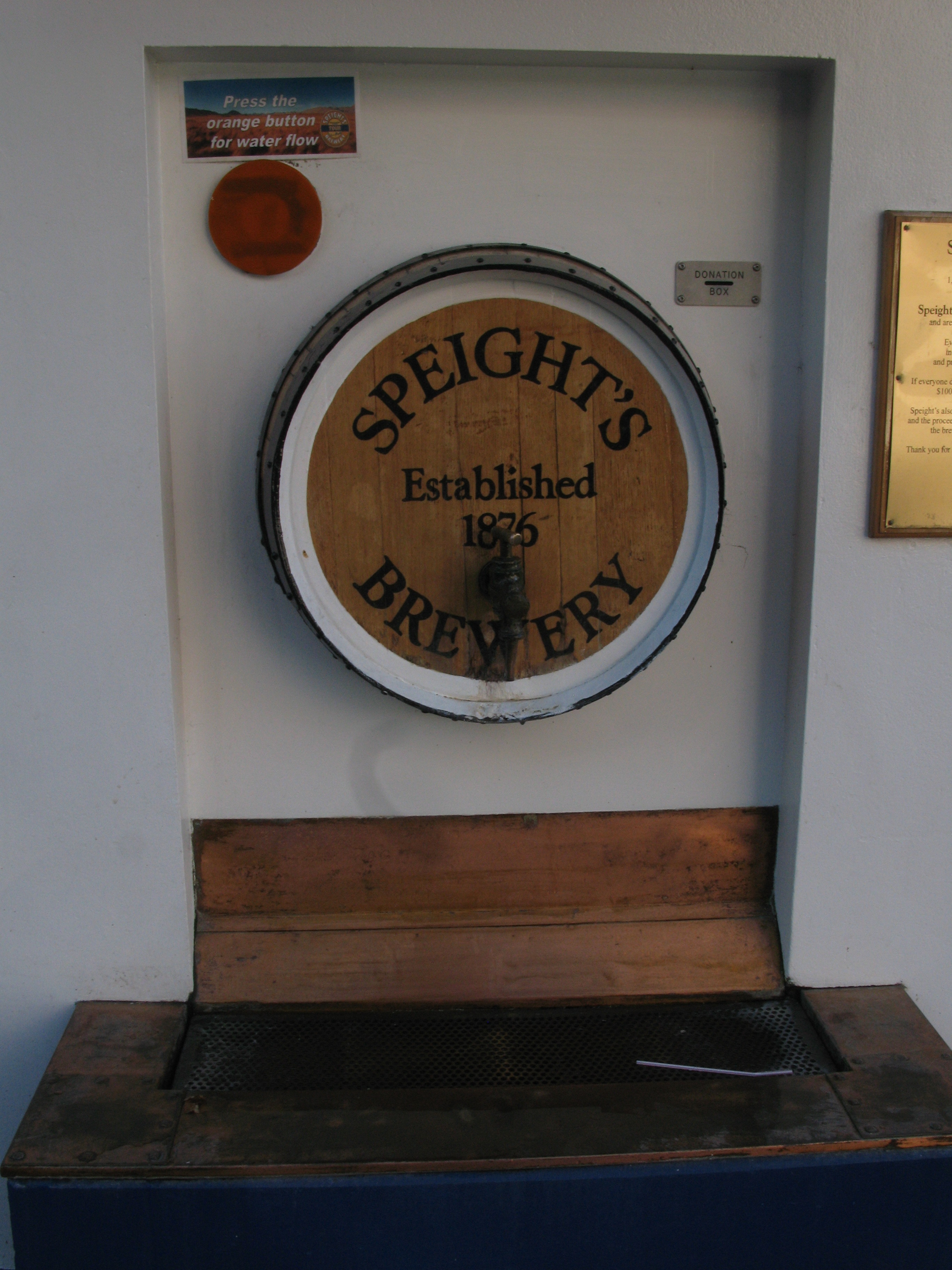
| Speight's Tour. The message about water refers to the public water tap nearby. |
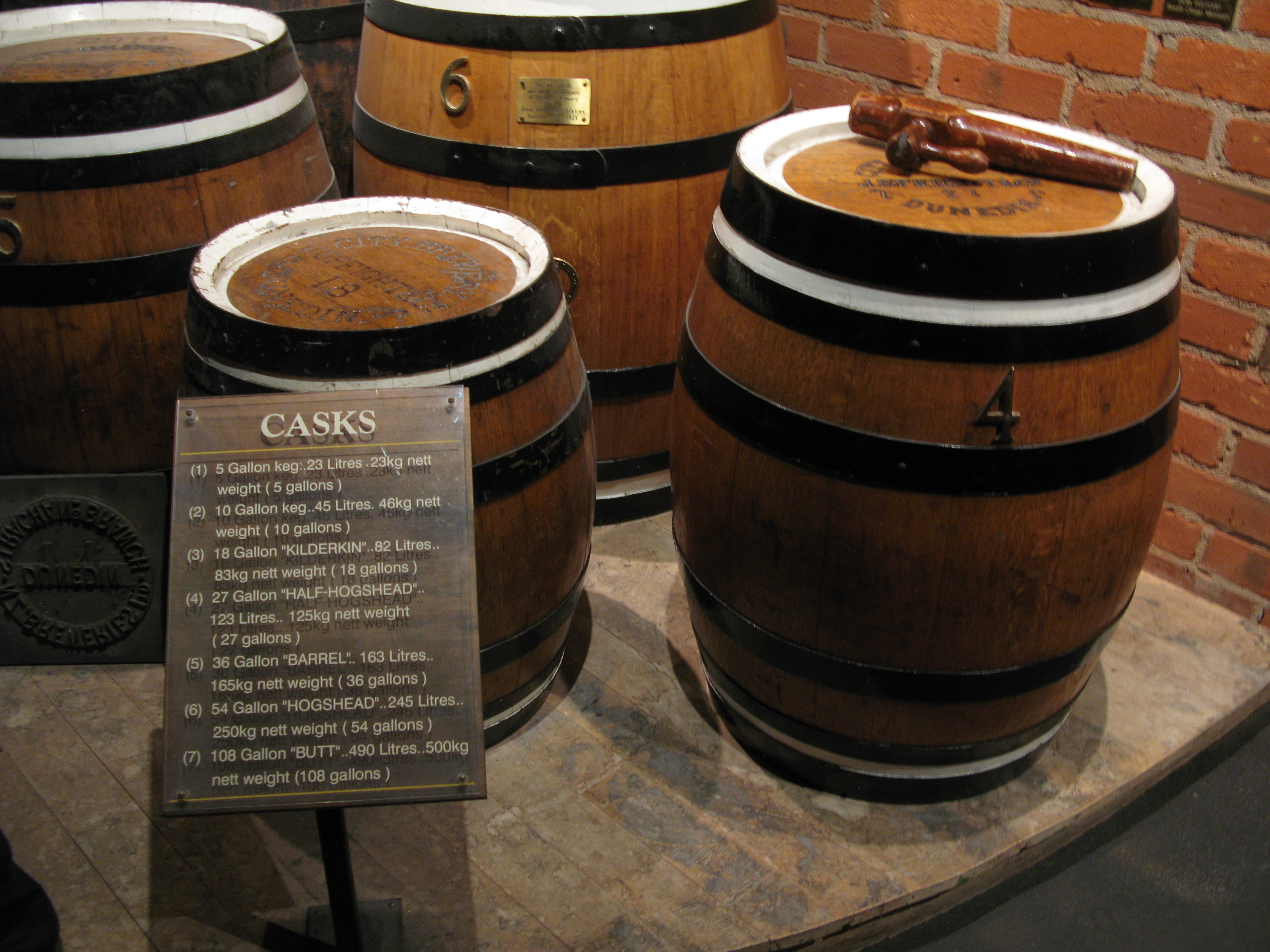
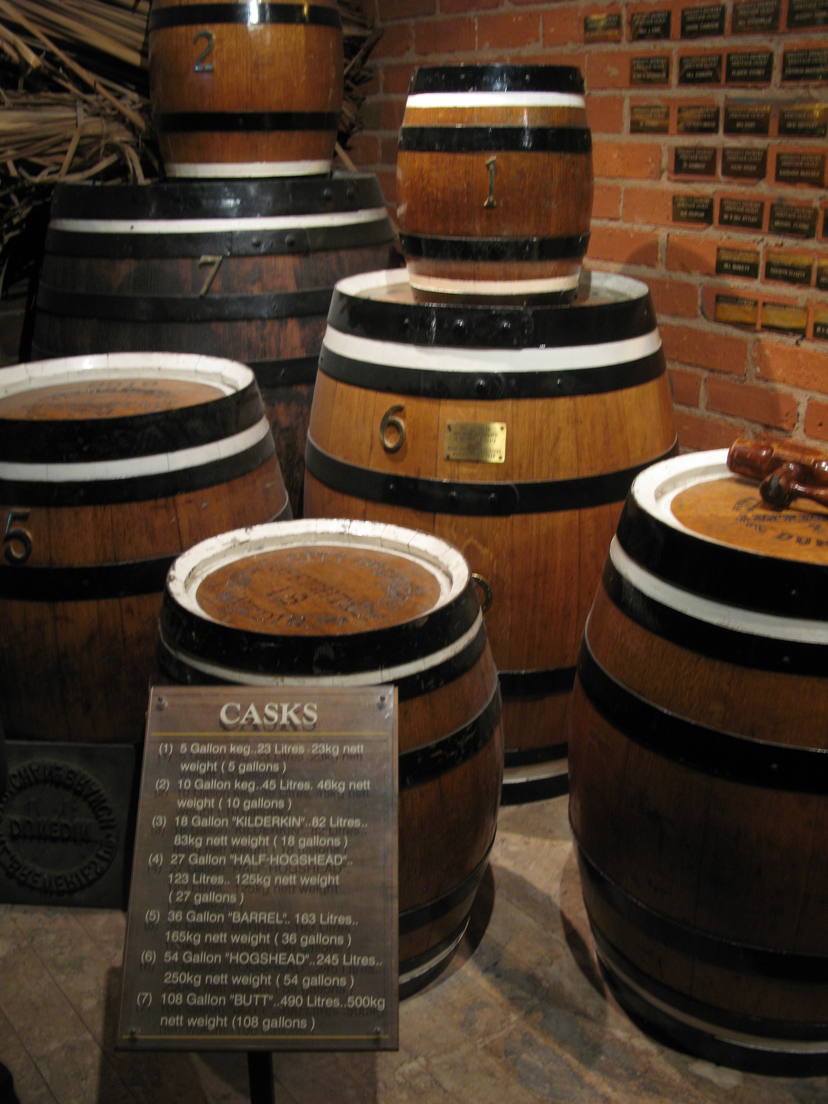
| Speight's Barrels. |
| Speight's Barrels. The little one (number 1) was known as the Cooper's Barrel.It was the daily alotment of beer given to a pair of workers in the Cooper's Shop. |
| Medals won by Speight's. |
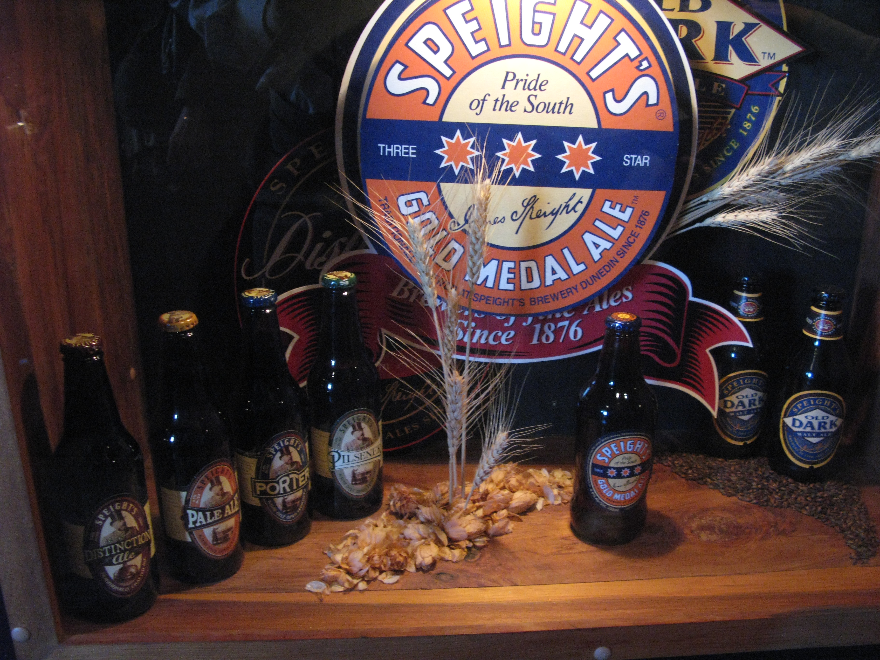
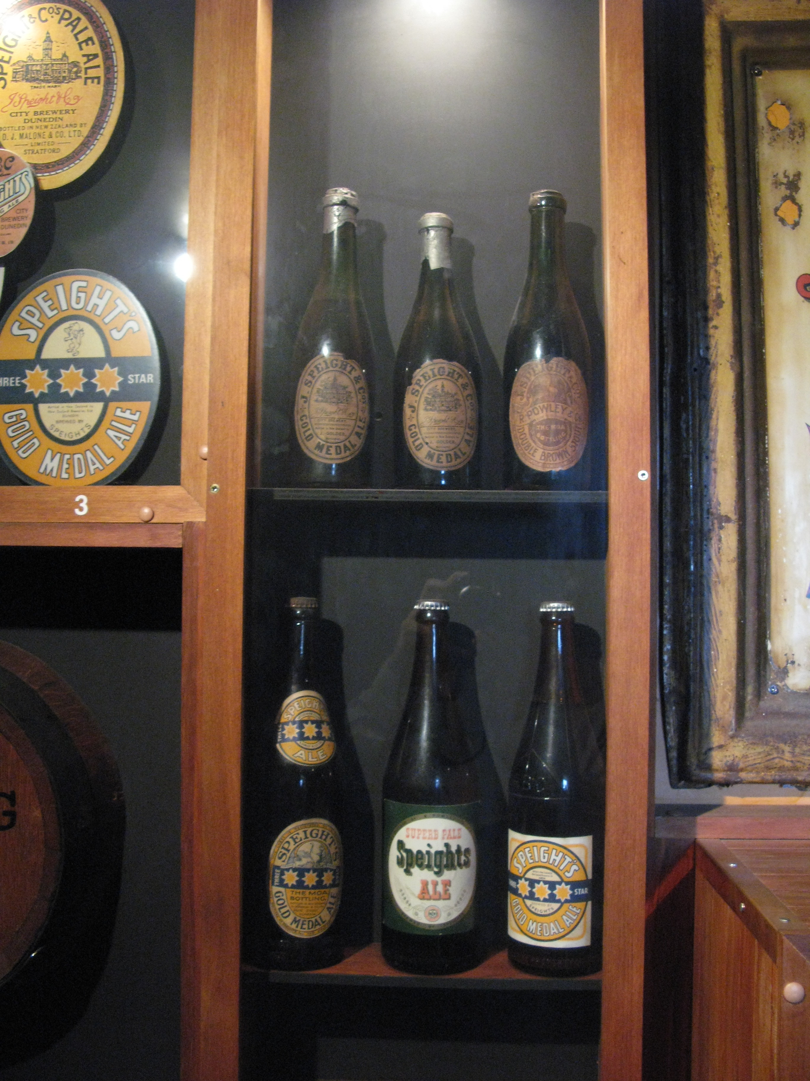
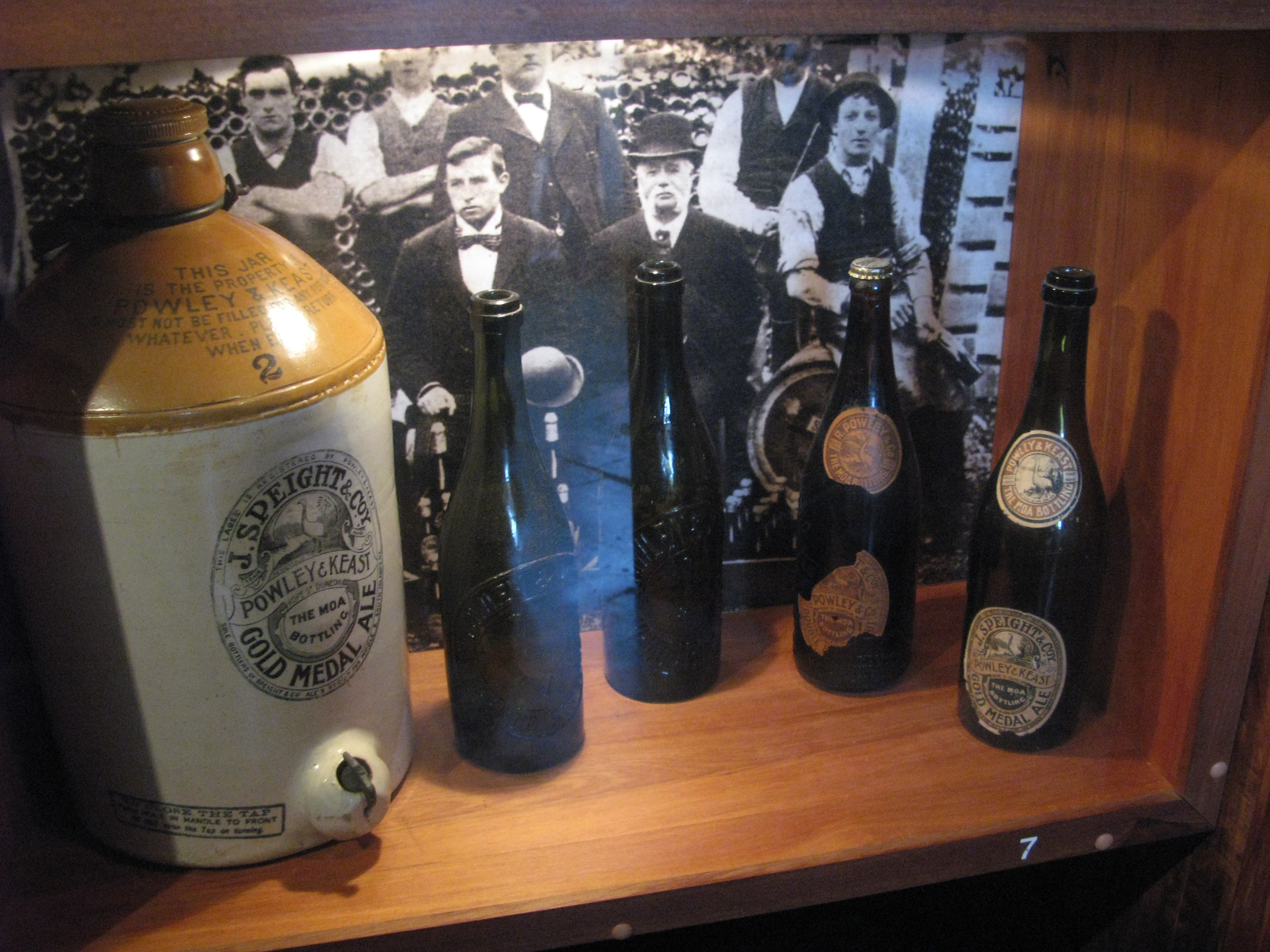
| Speight's bottles. |
| Speight's bottles. |
| Speight's bottles. |
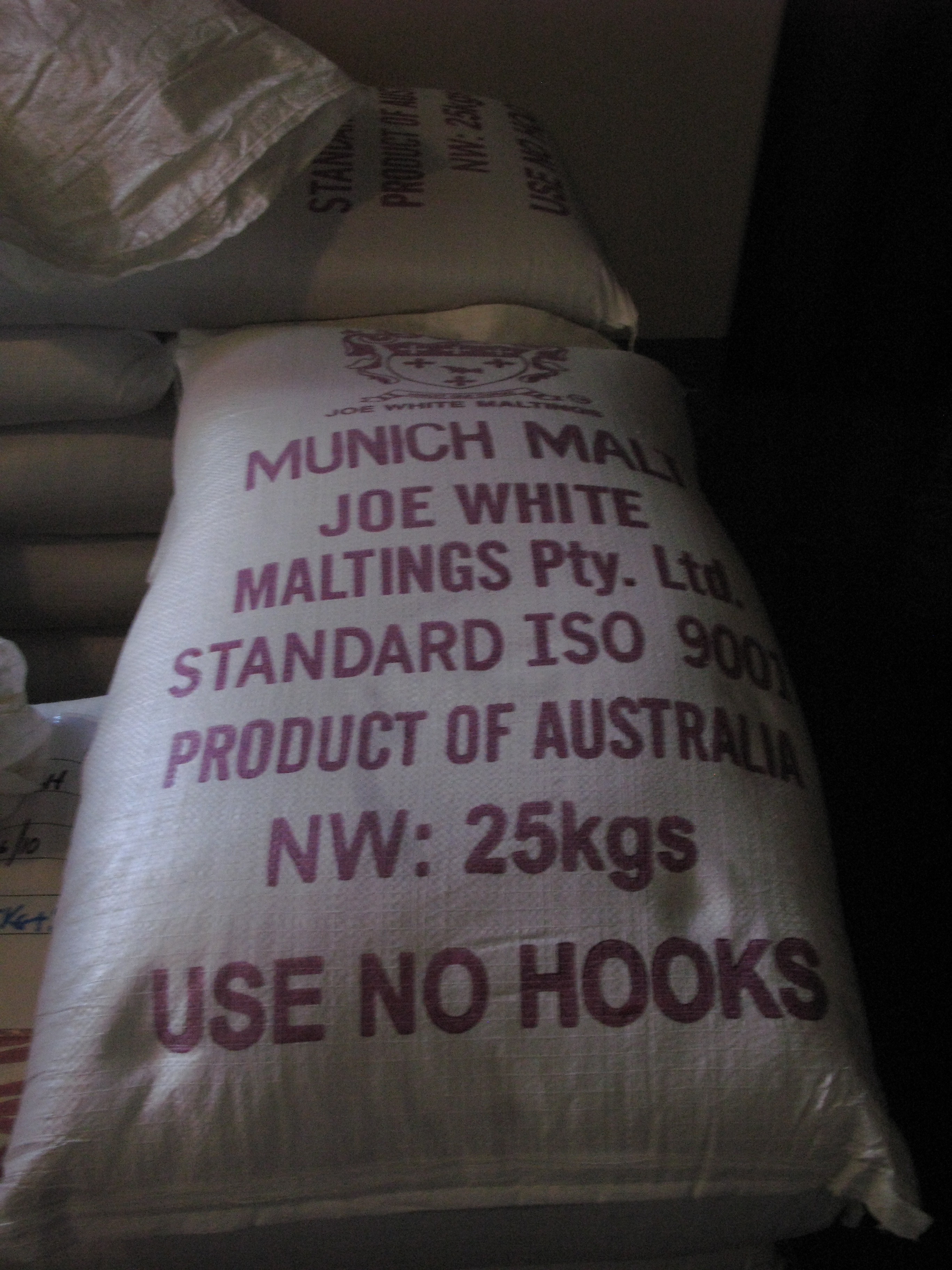
| Malt. |
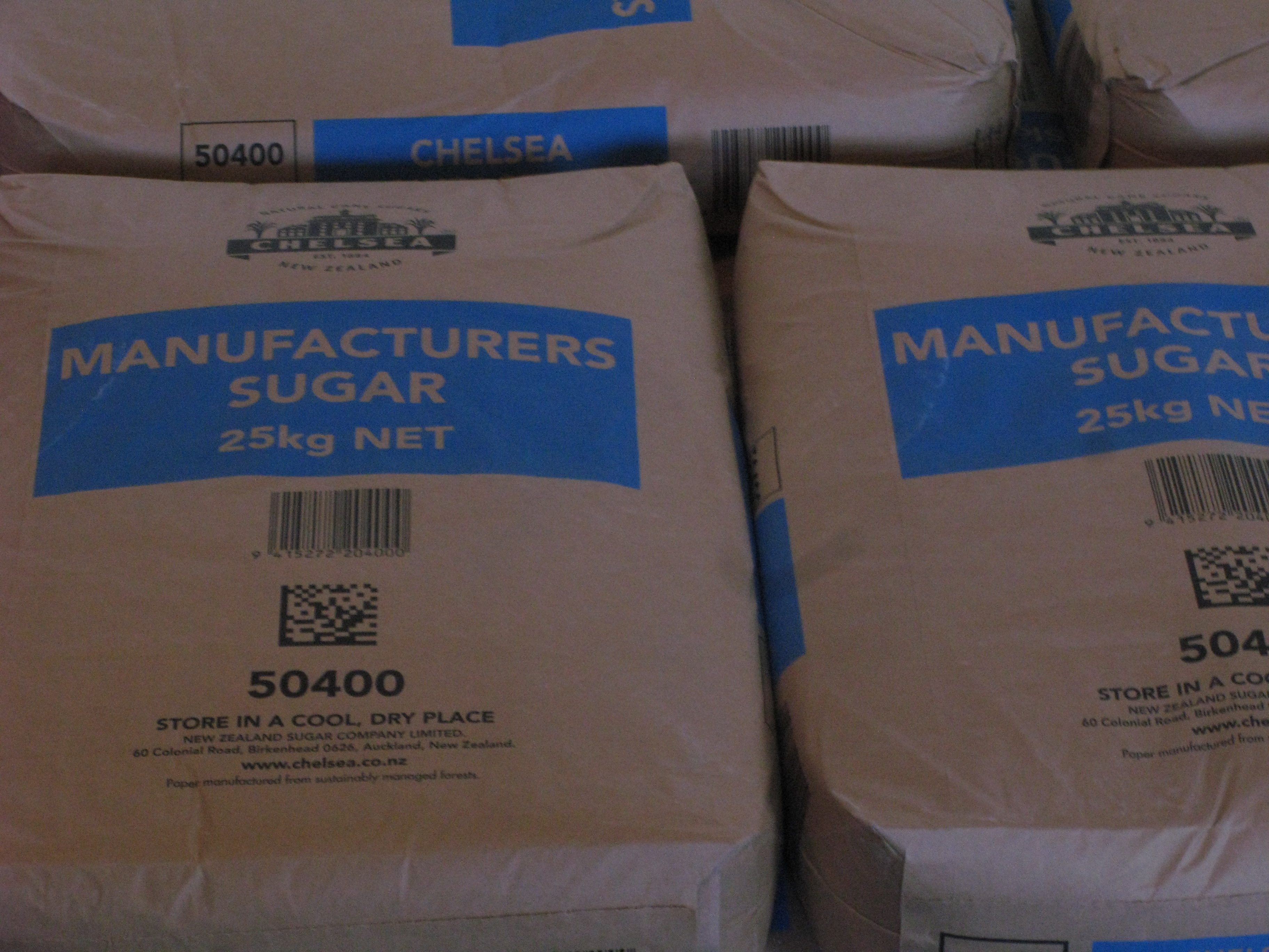
| Sugar. |
| Water kettles. The brewery treats its own water. |
| The iconic barrel-topped chimney. The barrel motif on top was an afterthough by one of the junior draftsmen. |
| Water kettles. |
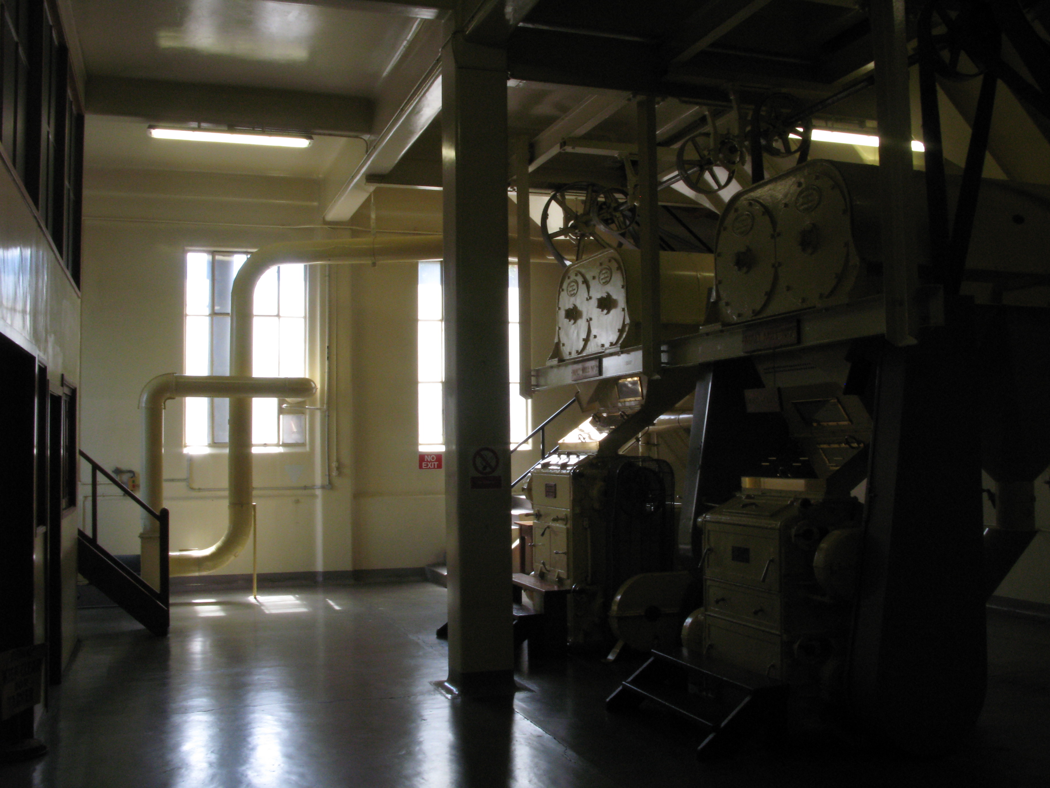
| Malt mill. |
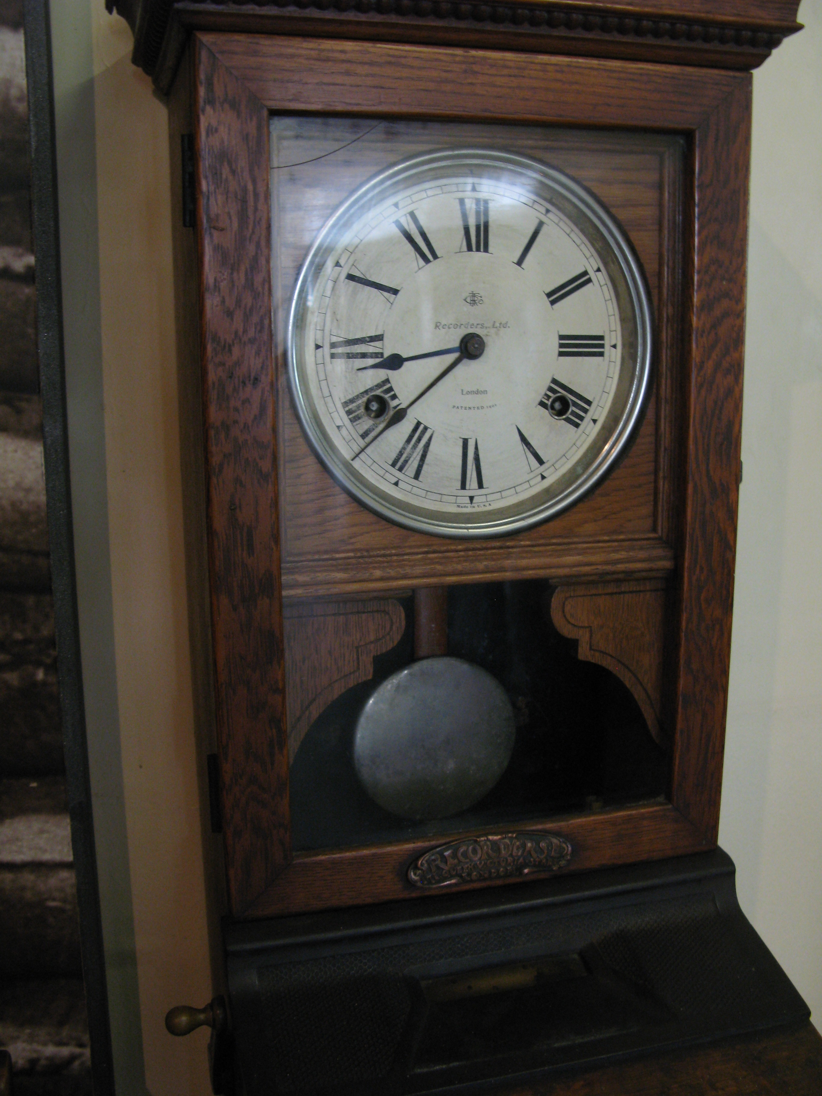
| Time clock. |
| The mill room. |
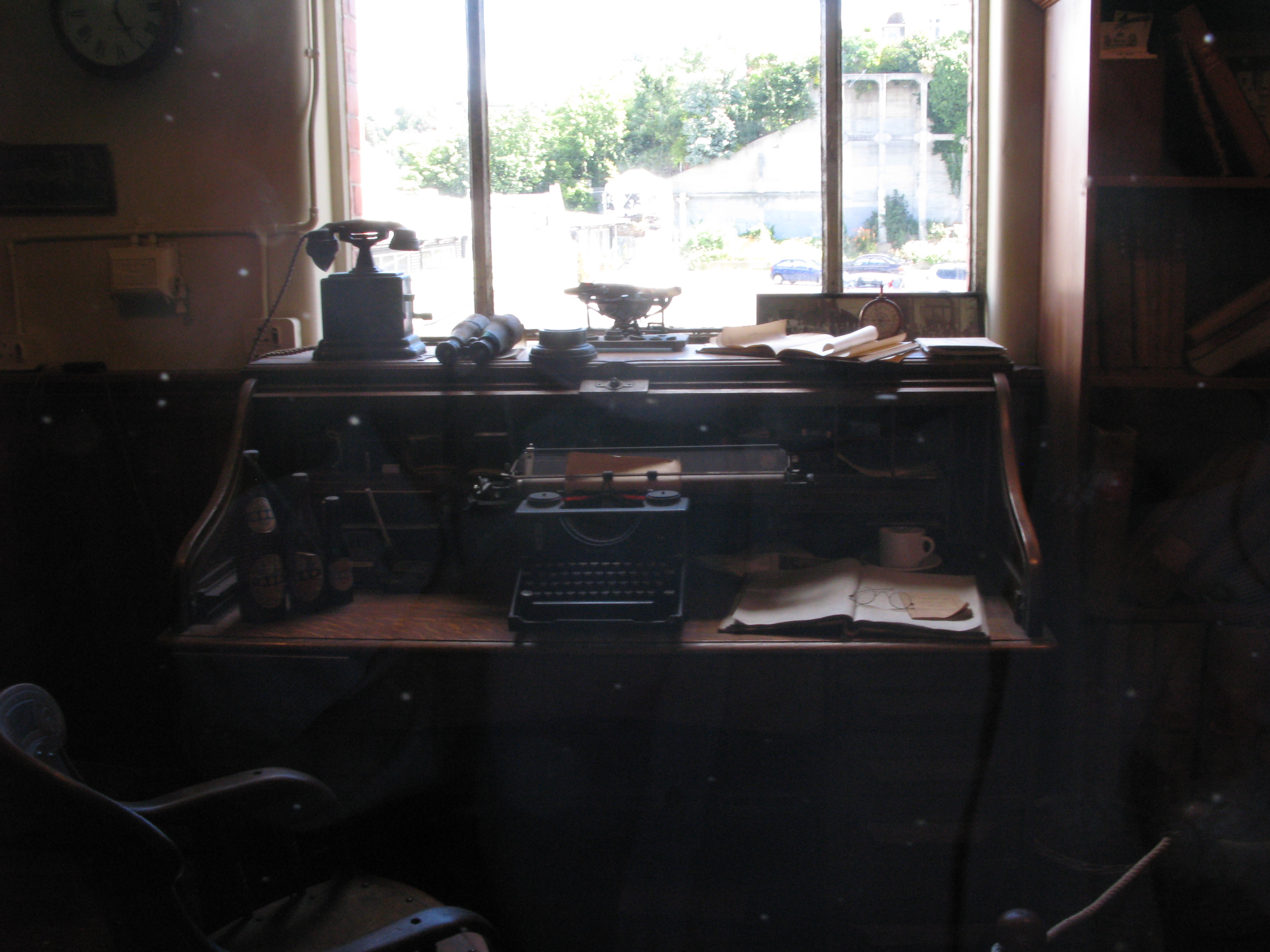
| The "brewer's office". |
| Hops. |
| Looking southeast-ish from the Speight's Bridge, down Broadway. |
| The slate roofed building in the centre of this photograph is the original brewery, predating its purchase by Mr. Speight in 1876. |
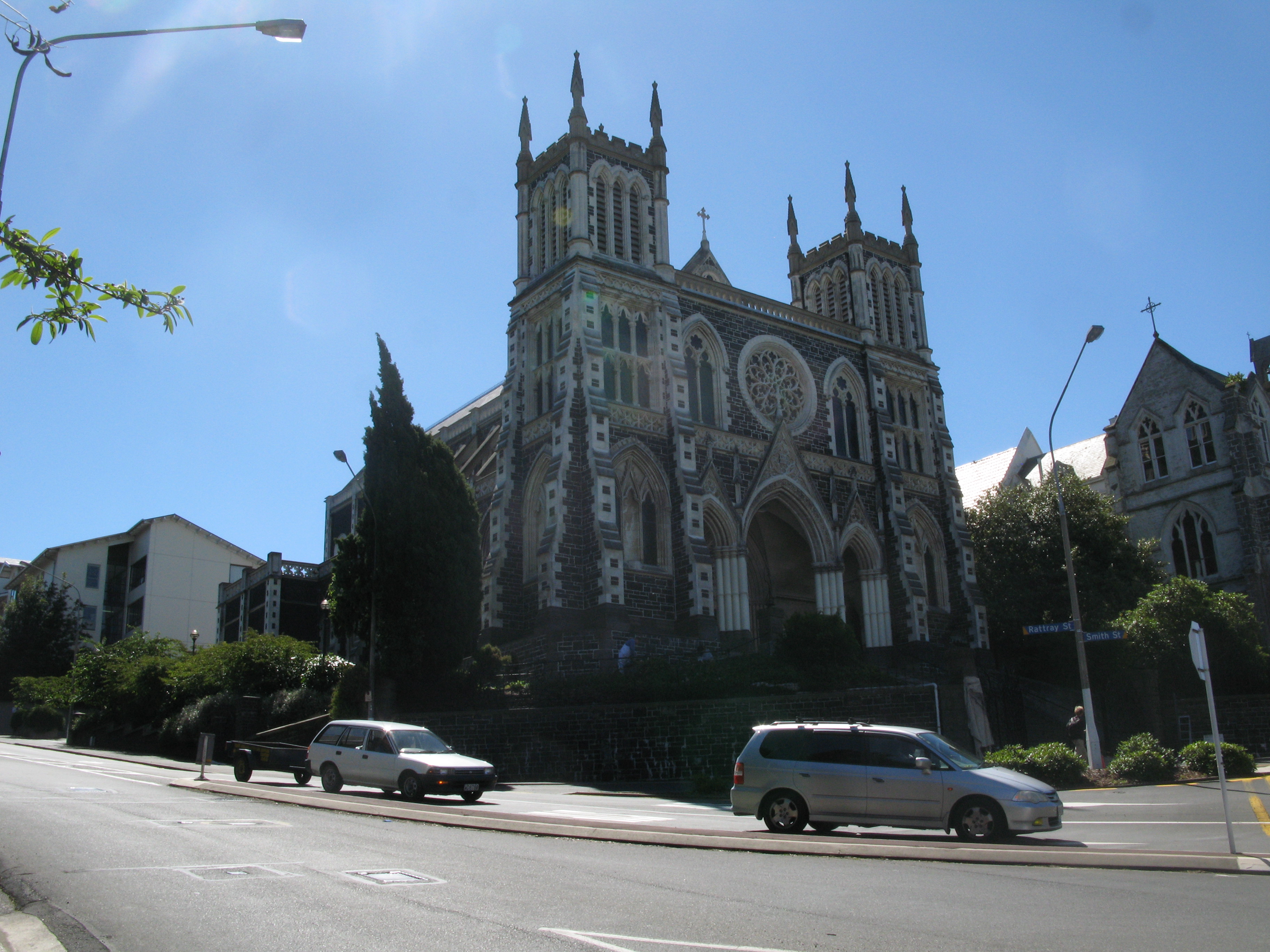
| Looking northwest-ish from the Speight's Bridge, up Rattray. The spires of St. John's are visible. |
| The Speight's bridge. |
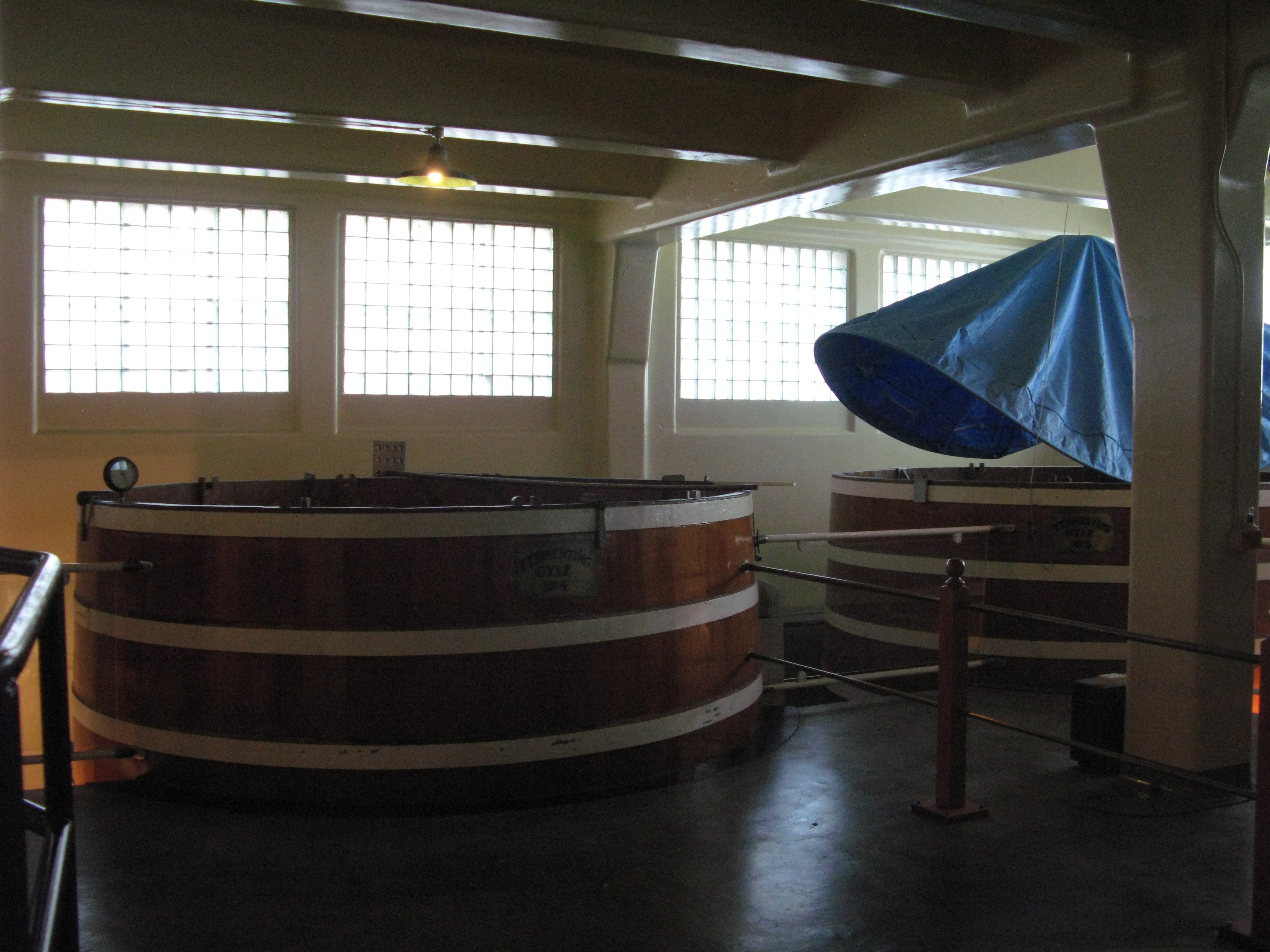
| Fermenting Gyle Nº 1 |
| More gyles. |
| Descending one of the gyles. |
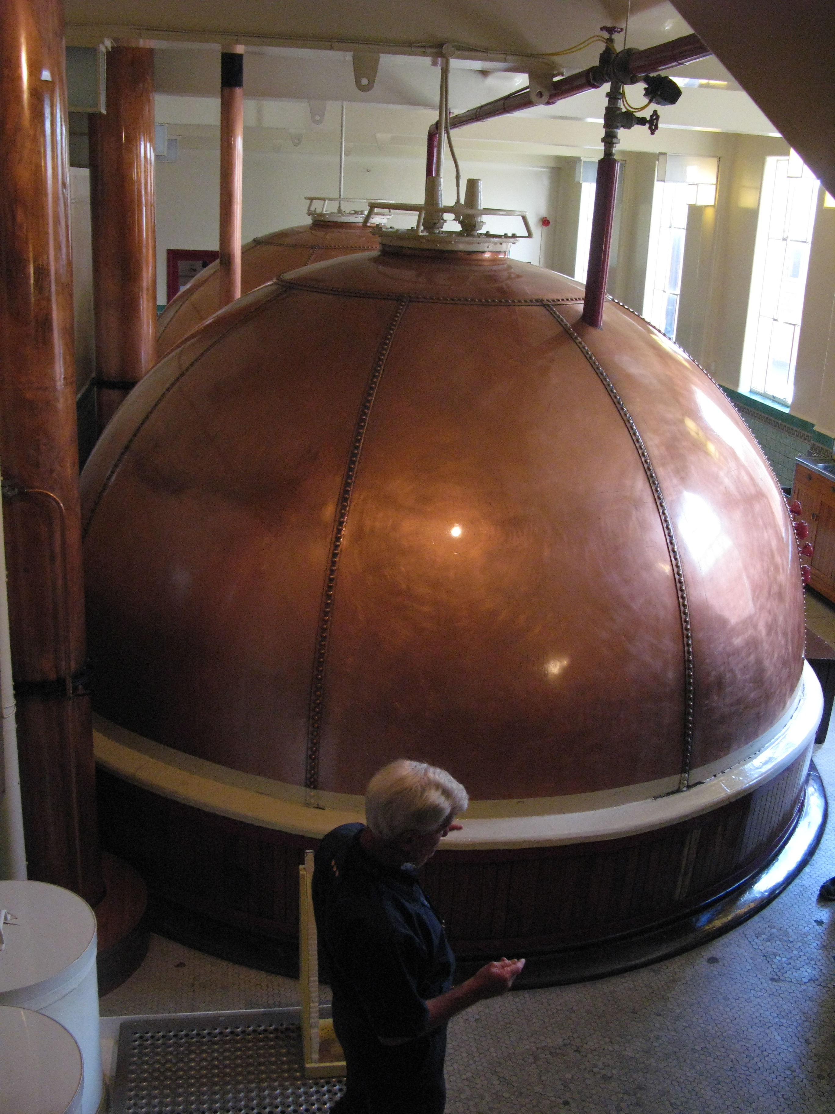
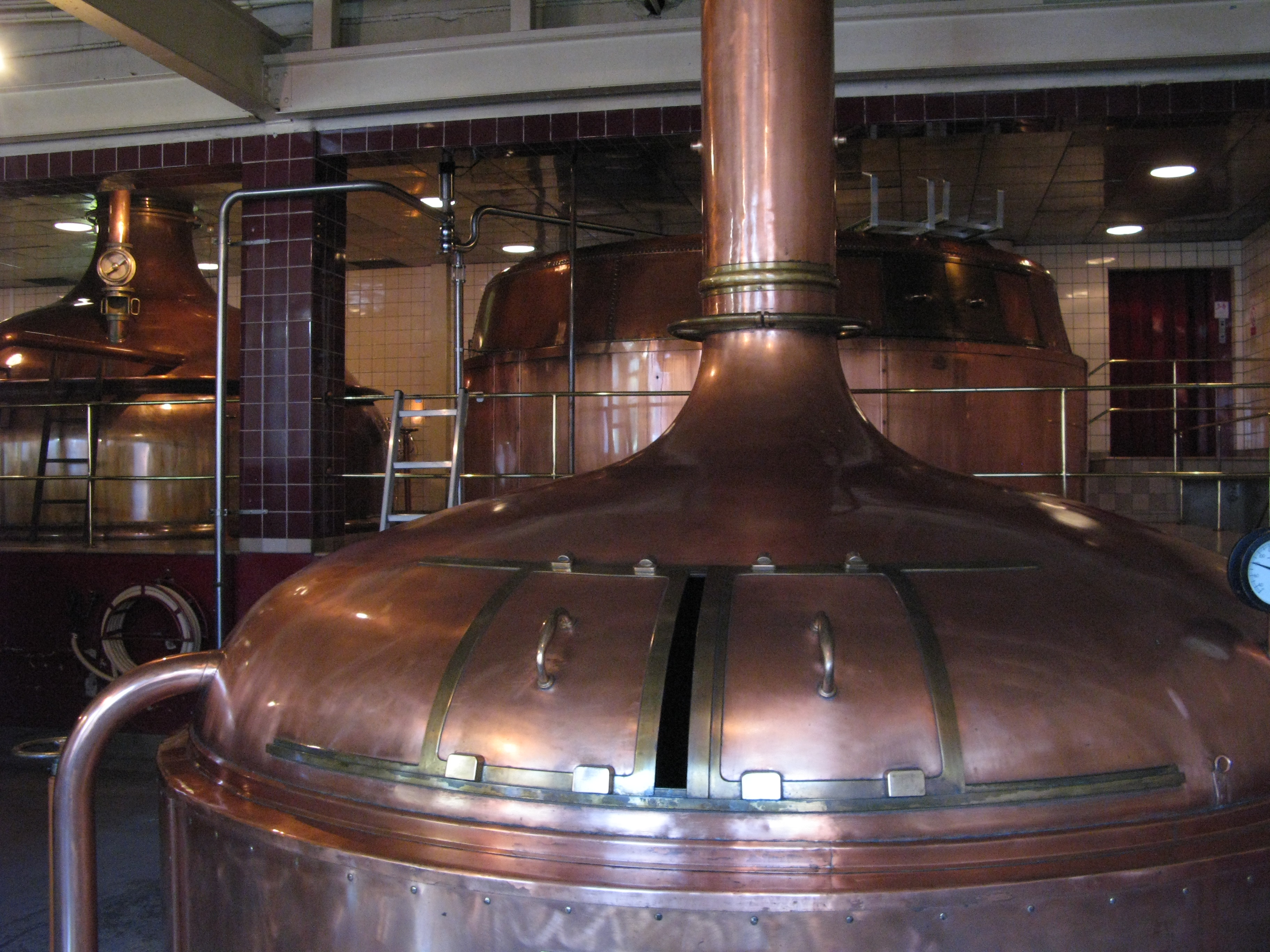
| Kettles. |
| The Kettle. |
| The plate on the cooker. |
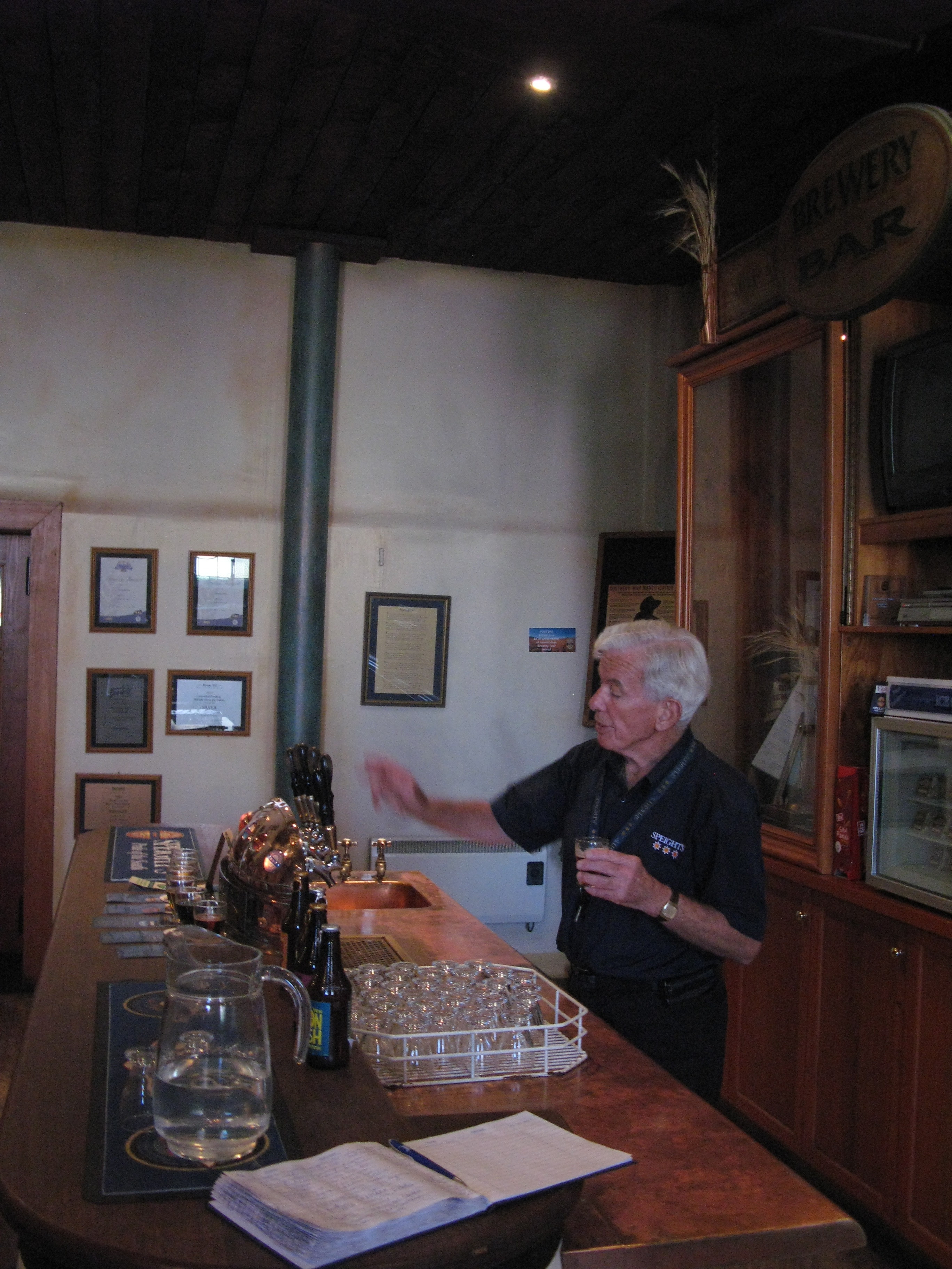
| Our gbuide instructs us on how to pull a glass of beer. |
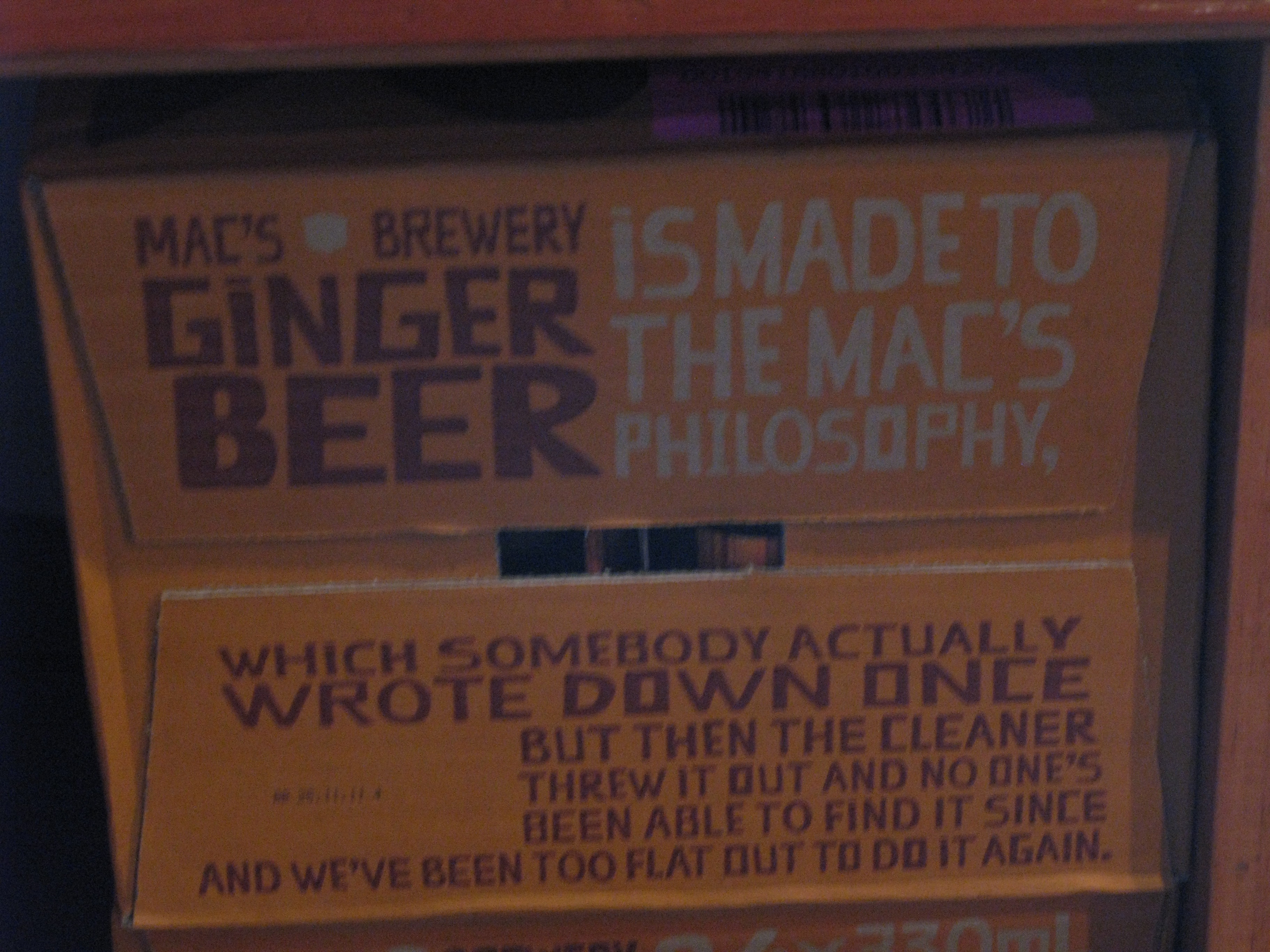
| Mac's Brewery Ginger Beer. |
| St. John's, again. |
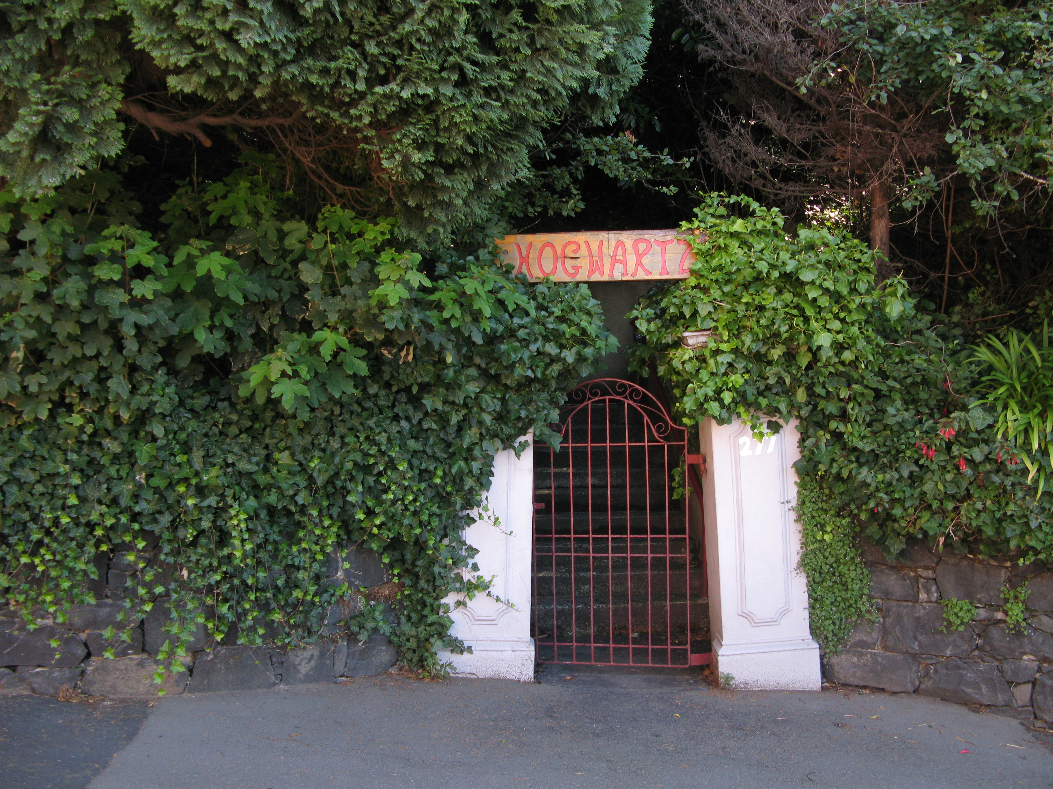
| Hogwartz. |
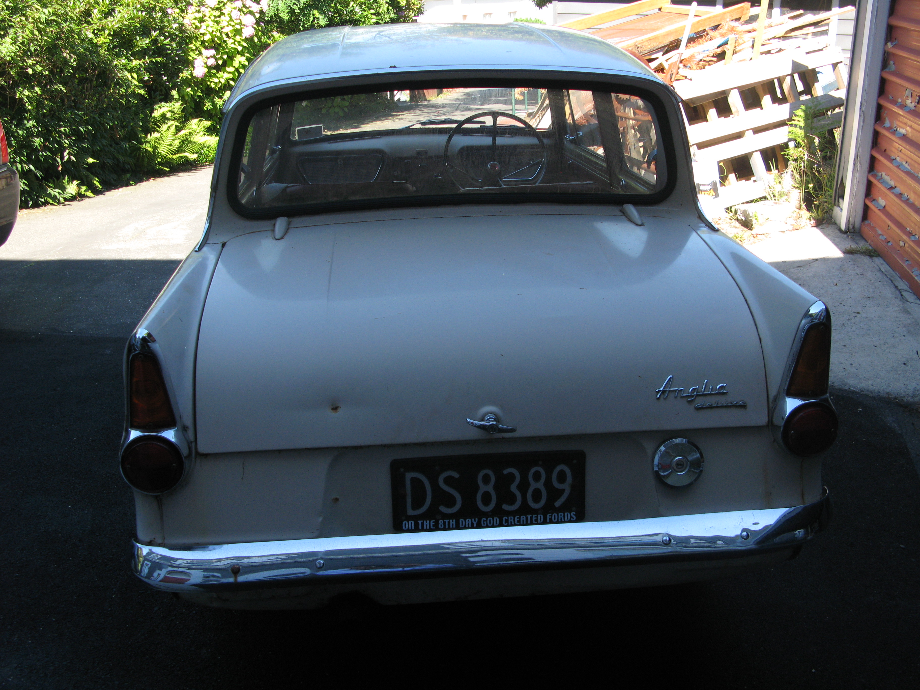
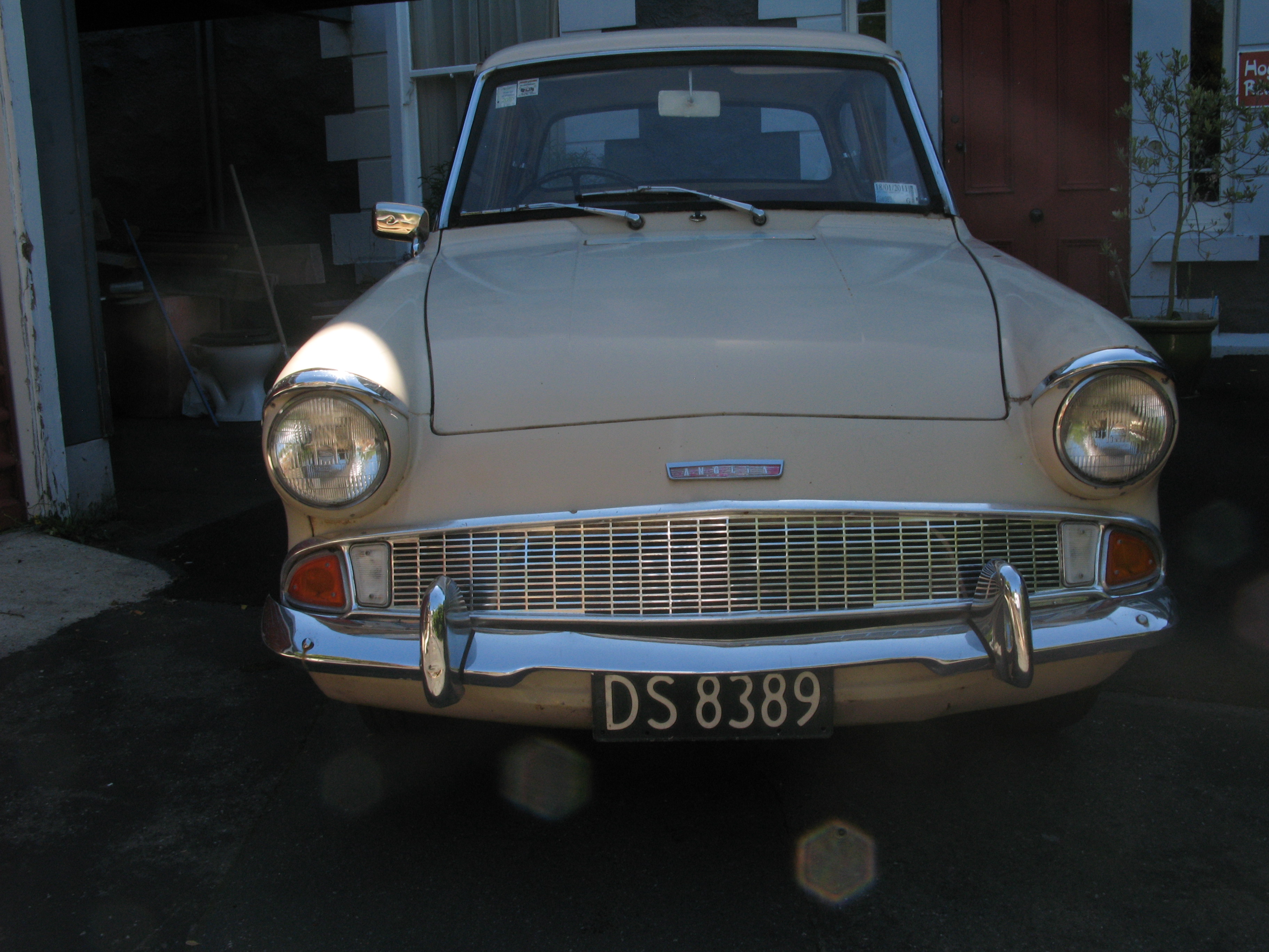
| A 1967 Ford Anglia. |
| A 1967 Ford Anglia. |
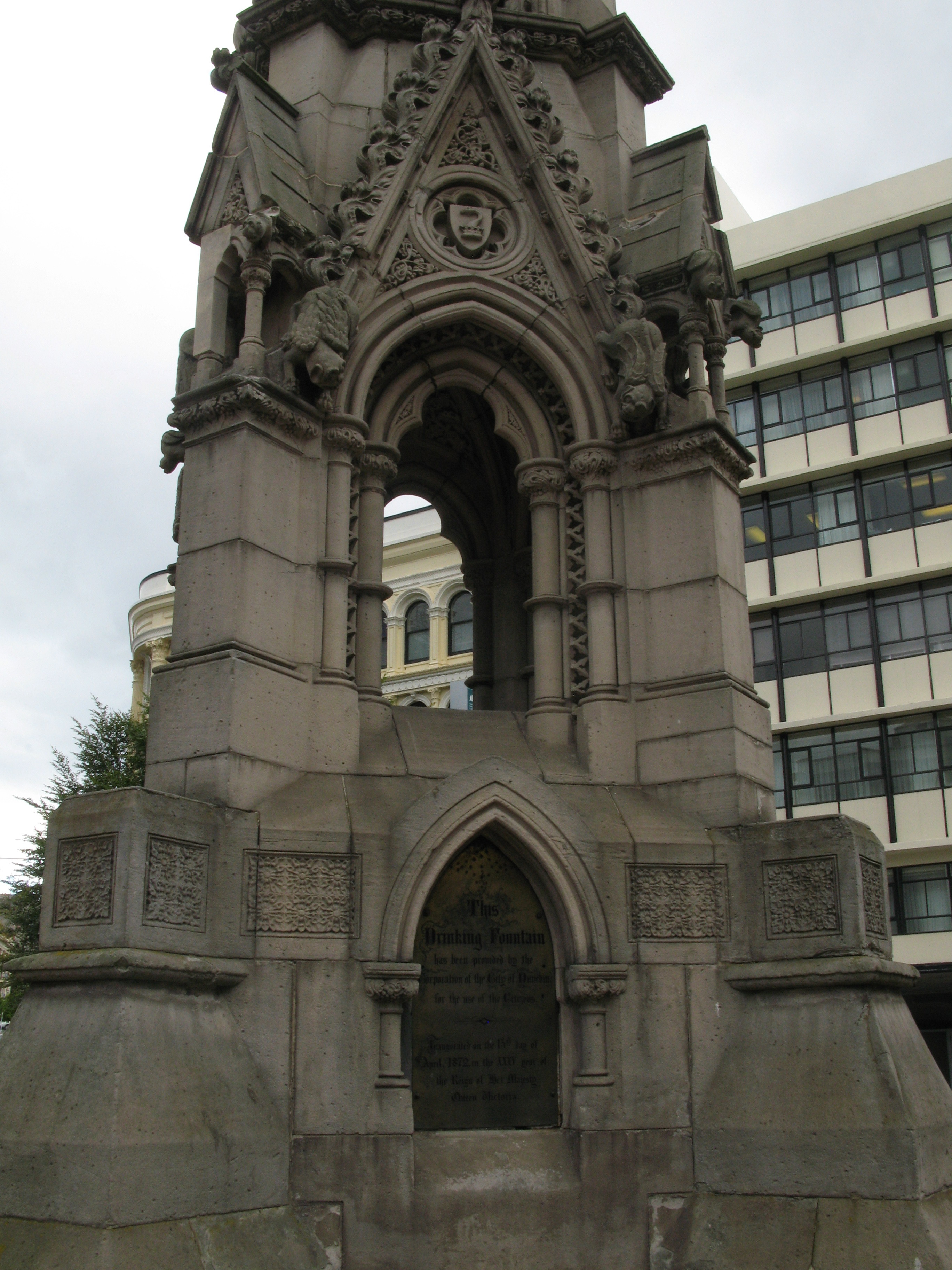
| Public drinking fountain. |
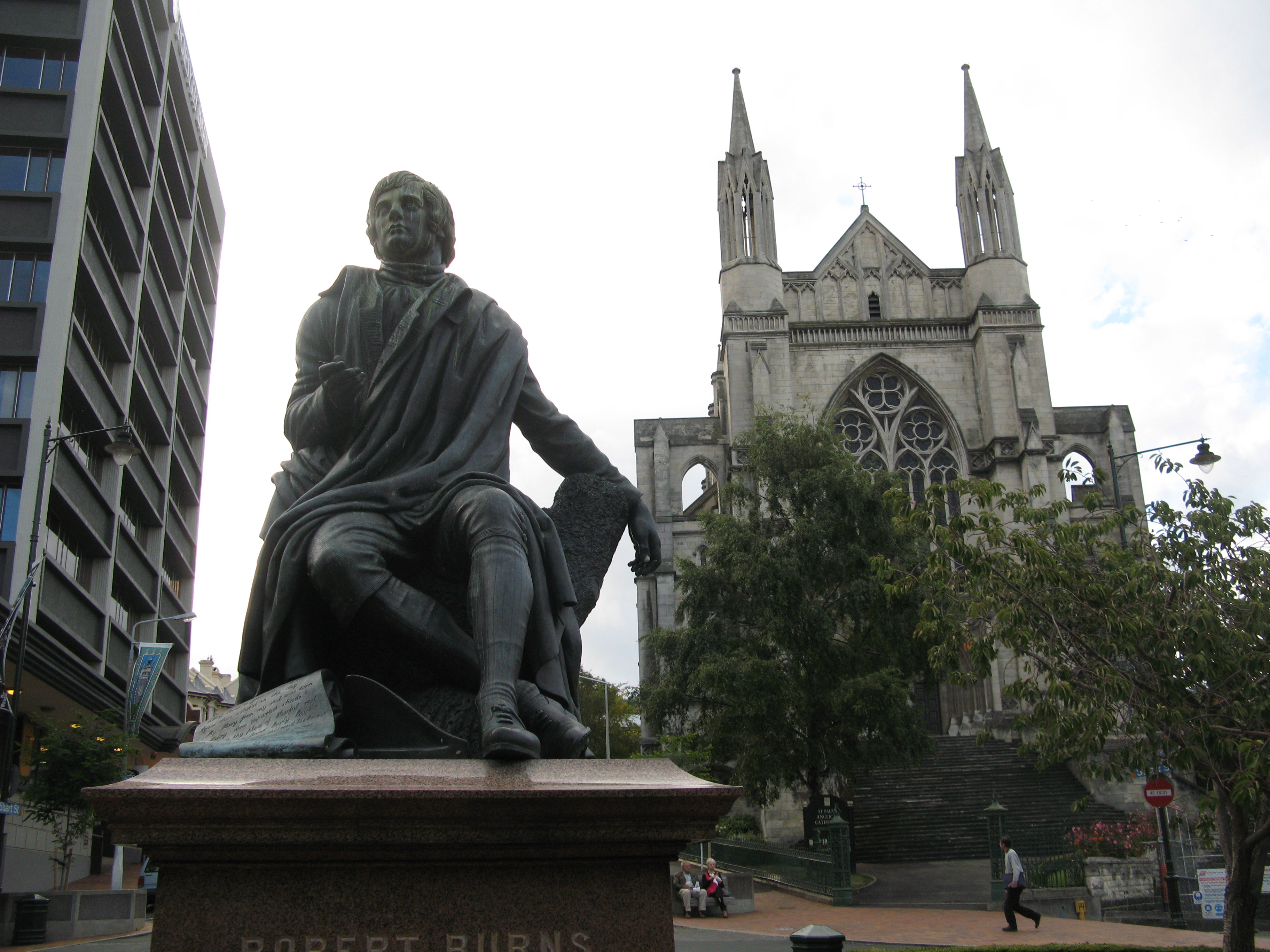
| If Christchurch is the most English of Kiwi cities, Dunedin is the most Scottish. Here's Mr. Burns. Behind him is St. Paul's Cathedral (Anglican). |
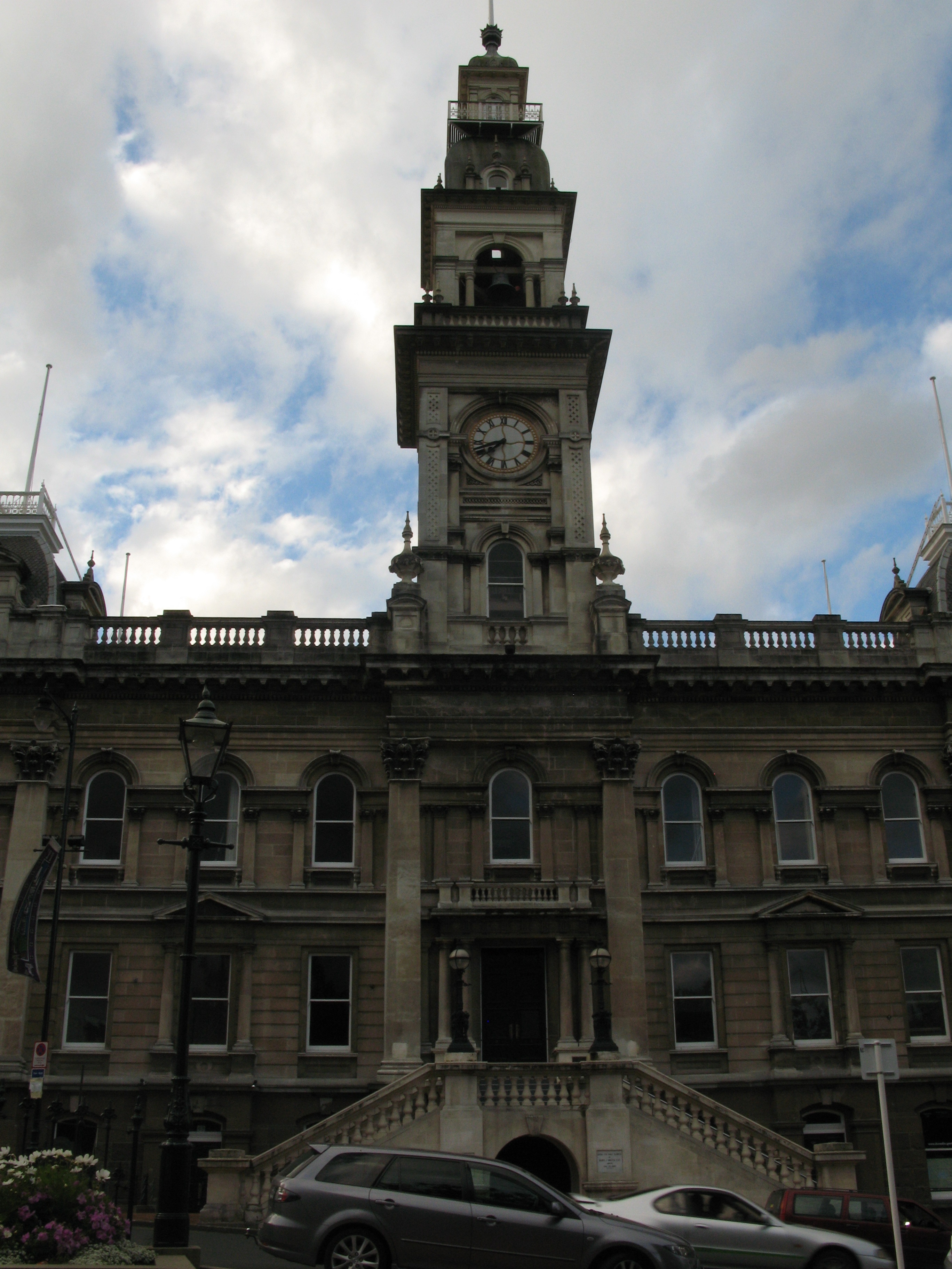
| Dunedin Town Hall. |
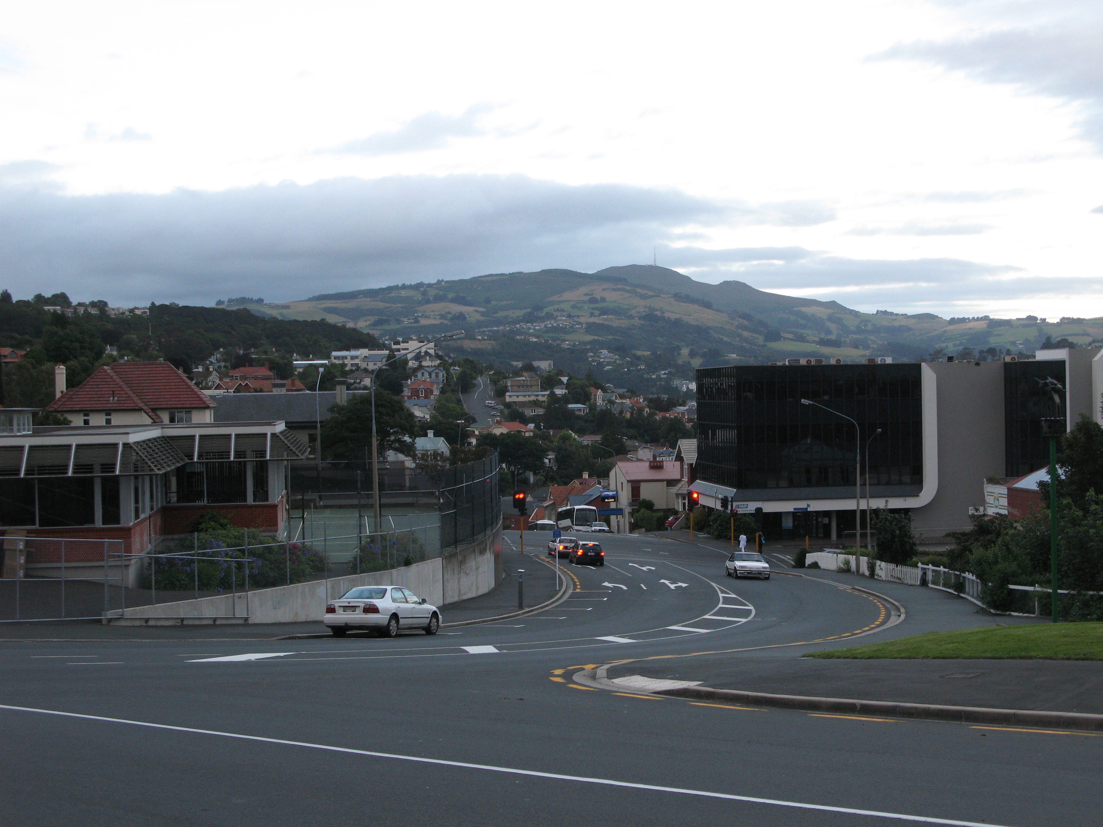
| The Train Station at the end of Stuart Street, from a vantage point in the centre of the Octagon. |
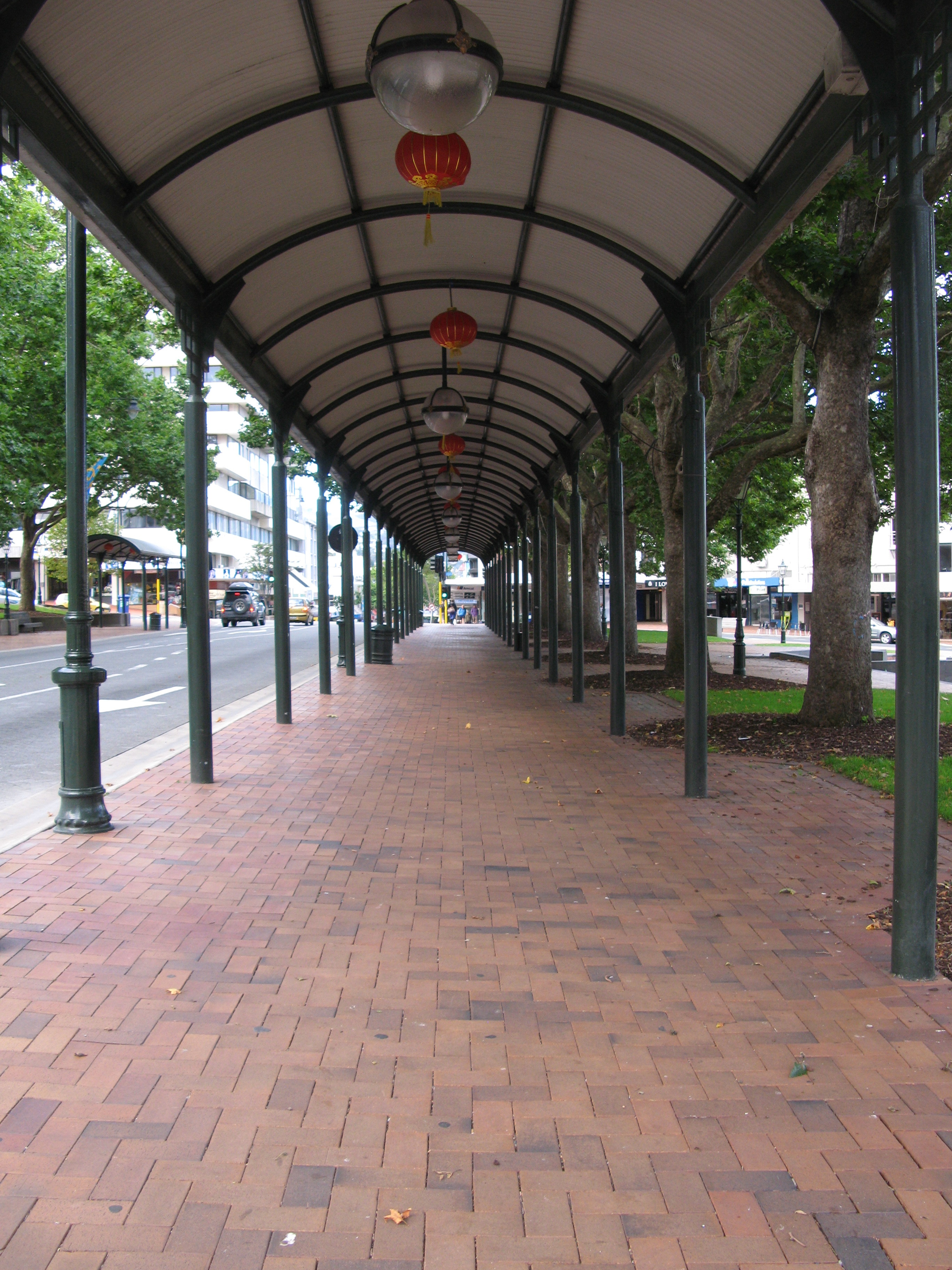
| The arcade in the Octagon. |
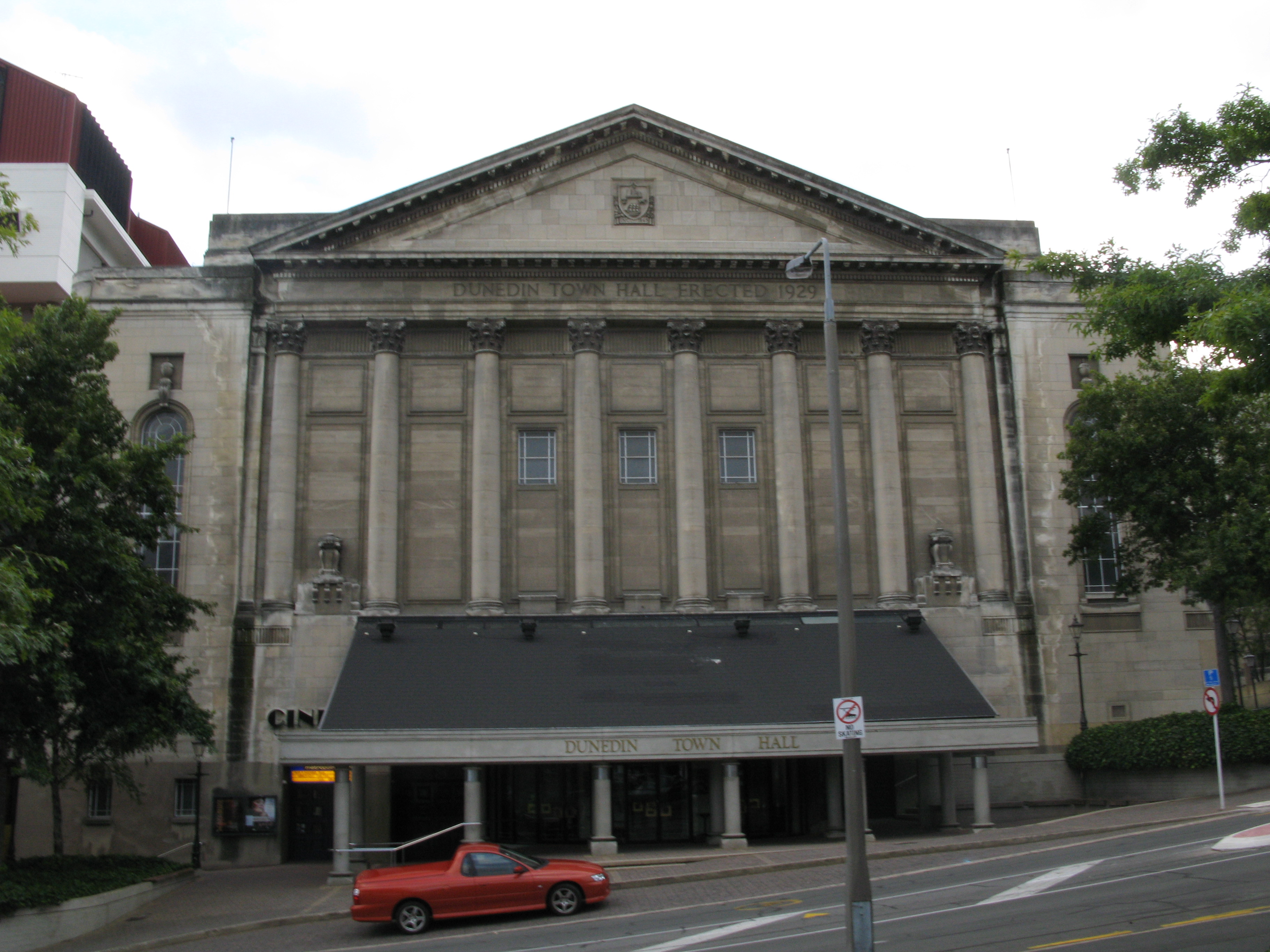
| The back of the Town Hall. I guess it has a cinema in it? |
| St. Paul's Cathedral. |
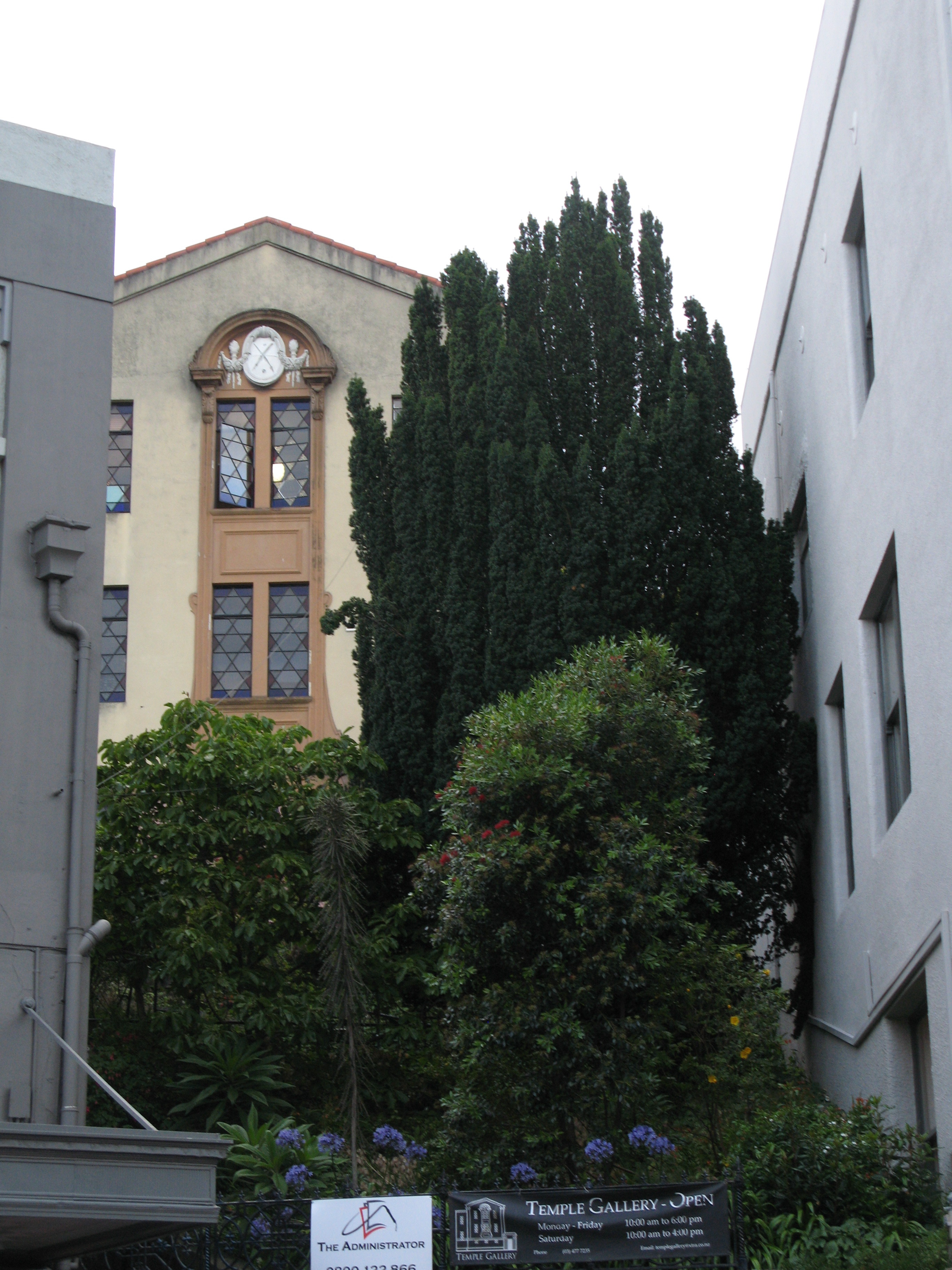
| The Temple Gallery. Dunedin's first synagogue. (It's not one anymore.) |
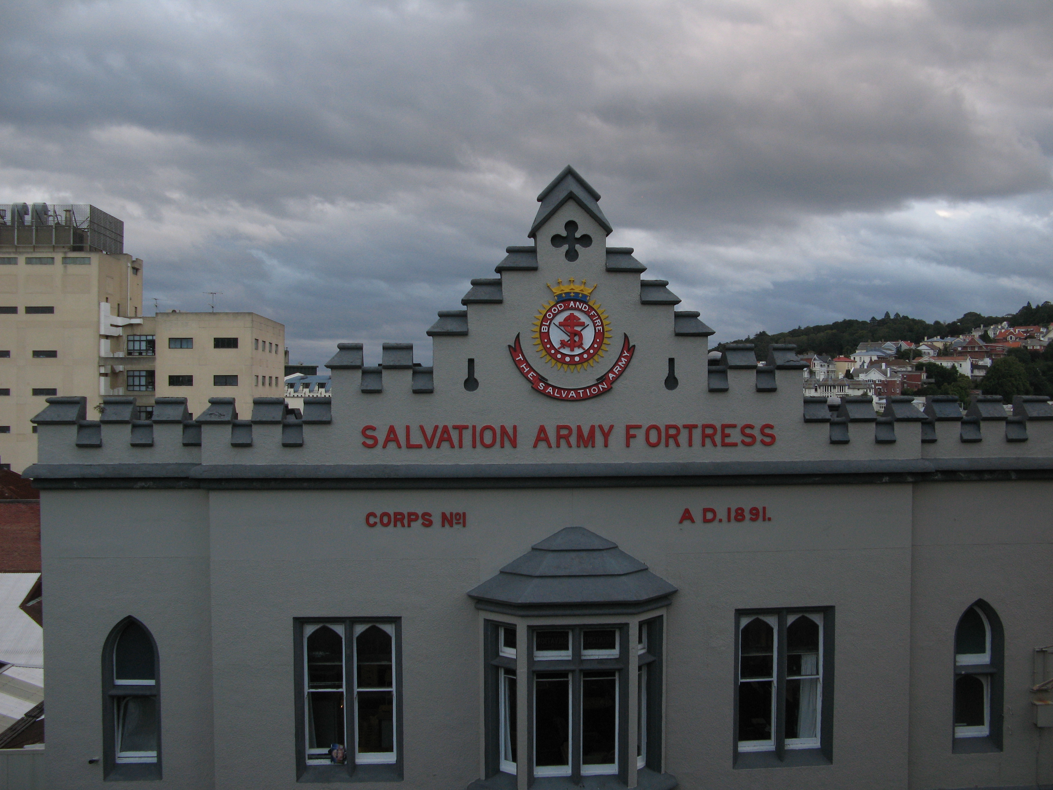
| Salvation Army Fortress. |
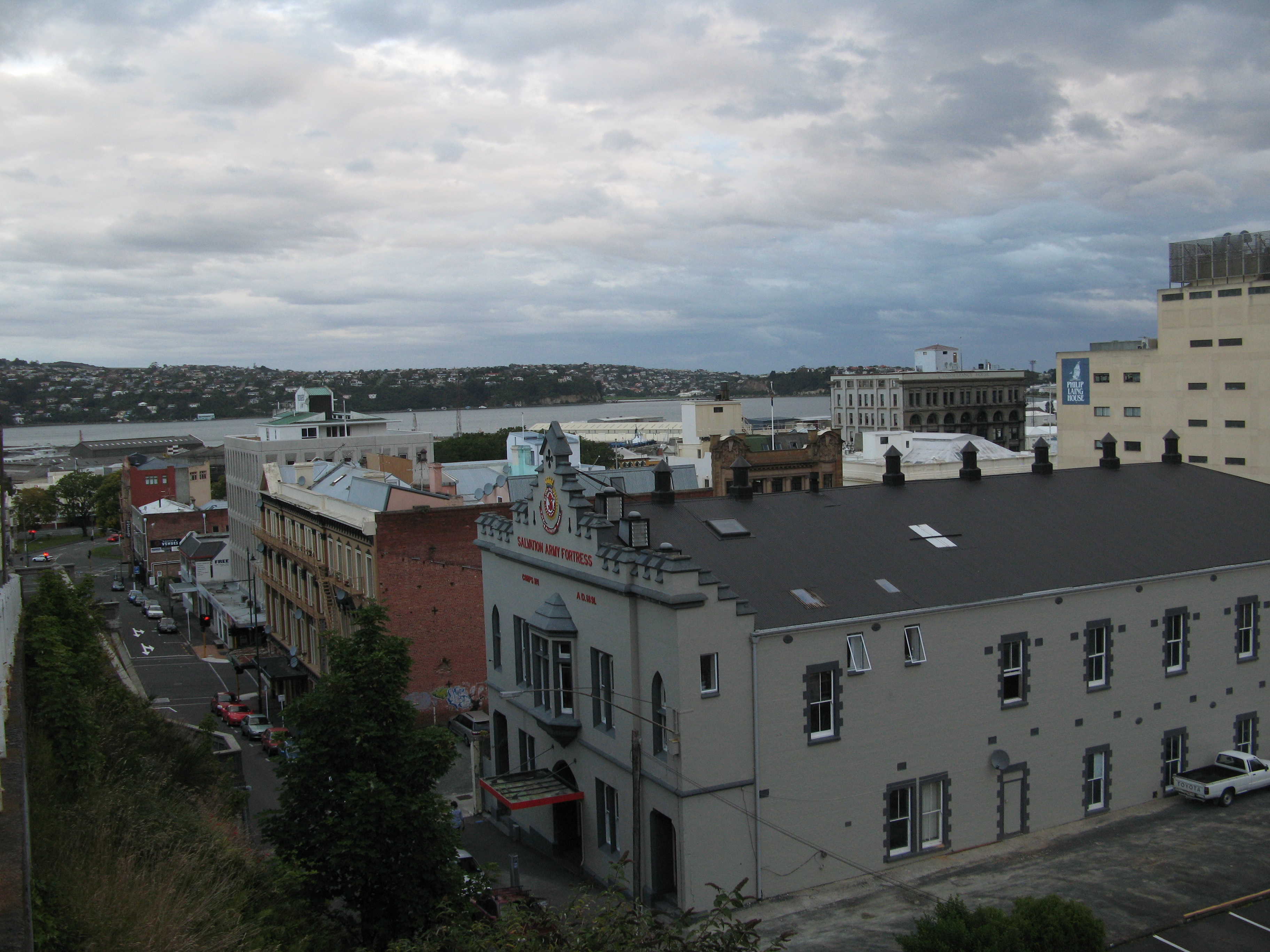
| Dunedin. |
| I walked by this sign... |
| ...and then glanced down and saw this. That's accurate advertising. |
| Otago hills above Dunedin. |
| The Speight's Brewery public water tap. It dispensed water treated by the brewery. According to the plaque next to it, people take about a million litres from it a year. |
| Baldwin Street, listed by Guinness as the steepest street in the world. |
| Baldwin Street. |
| I couldn't resist doing this again. |
| Looking down Baldwin Street. I didn't drive up it, but I did walk. |
| Coming back down. A courier van roared up it while I was coming down. |
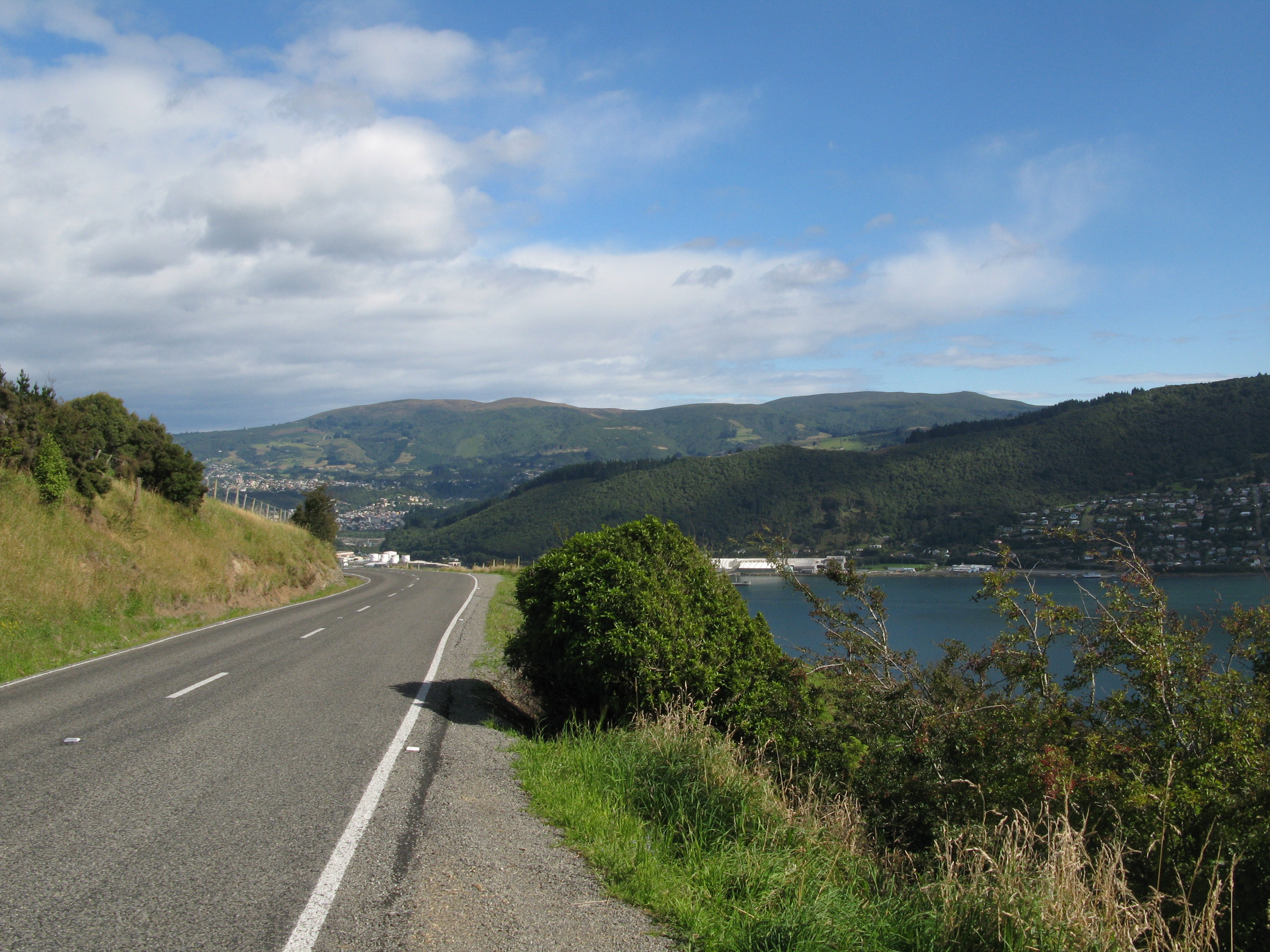
| Dunedin from out on the Otago Peninsula. |
| Otago Harbour. |
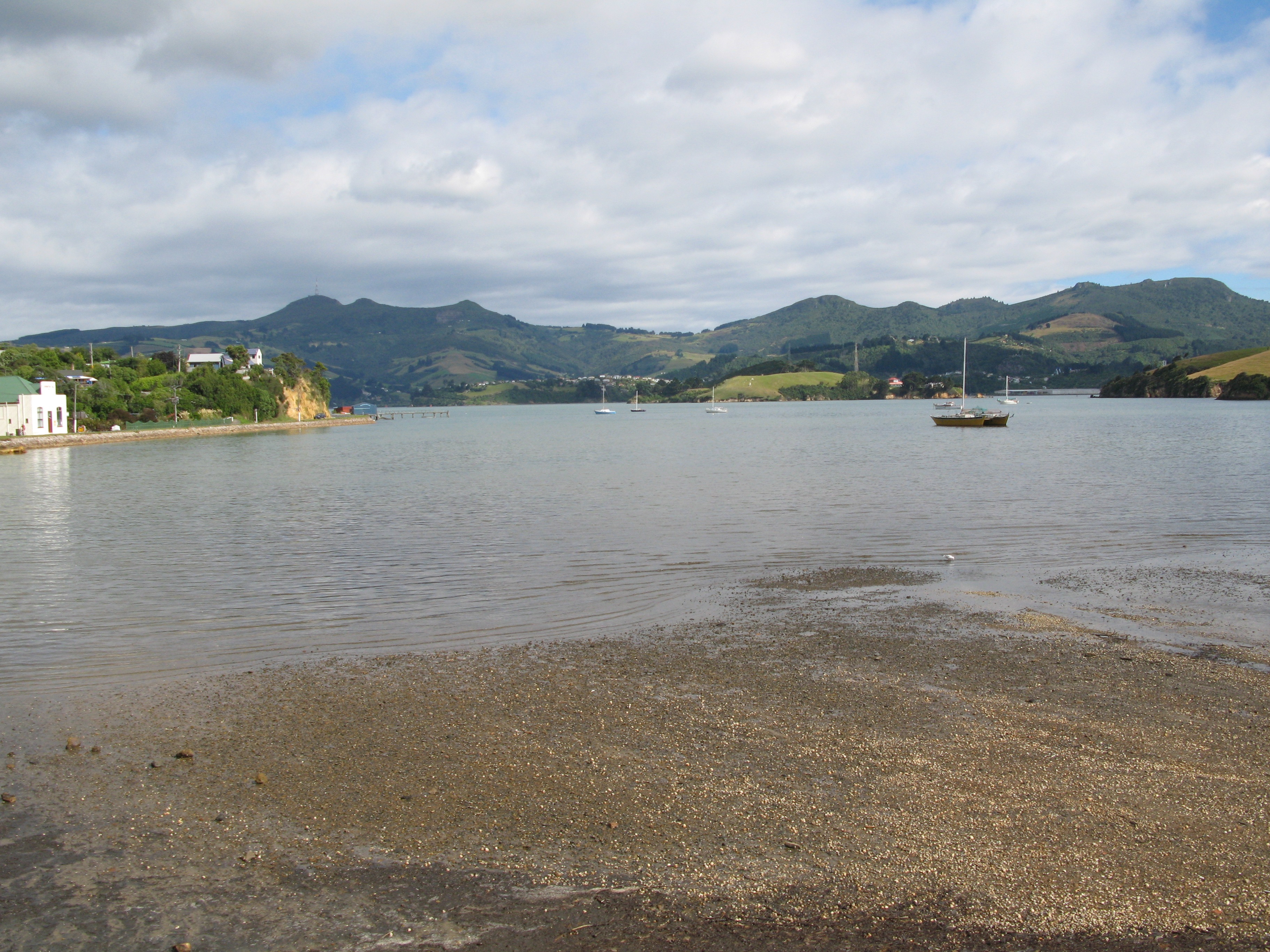
| The bay at Portobello. The island in the centre is Quarrantine Island. |
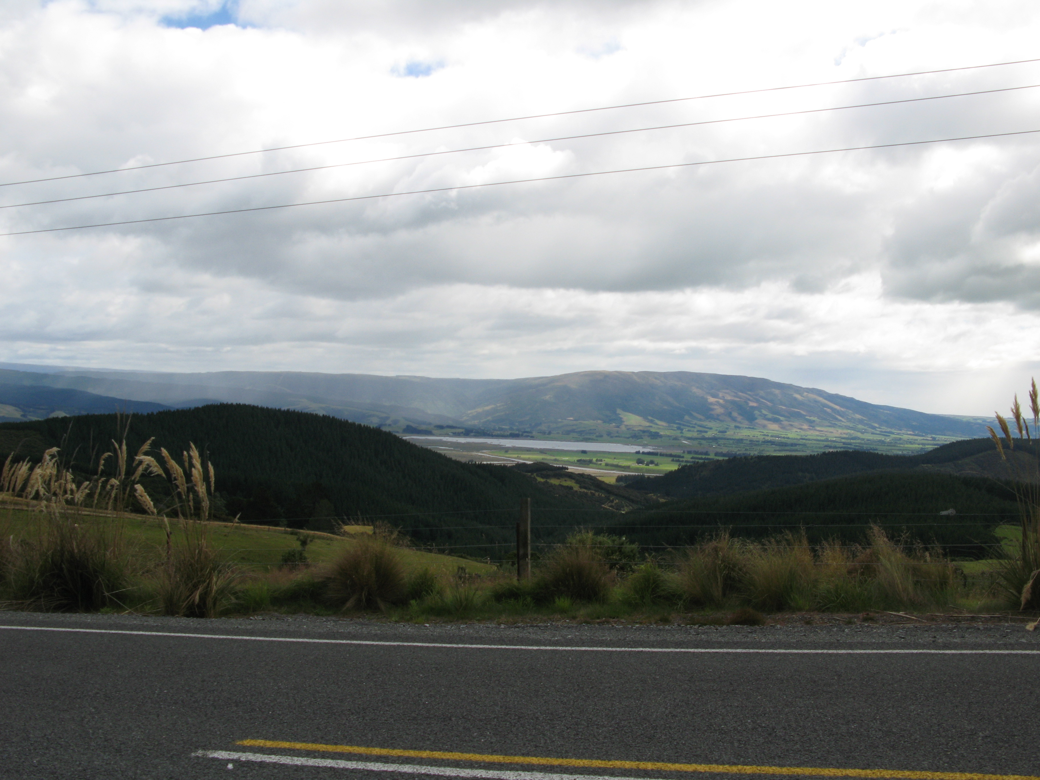
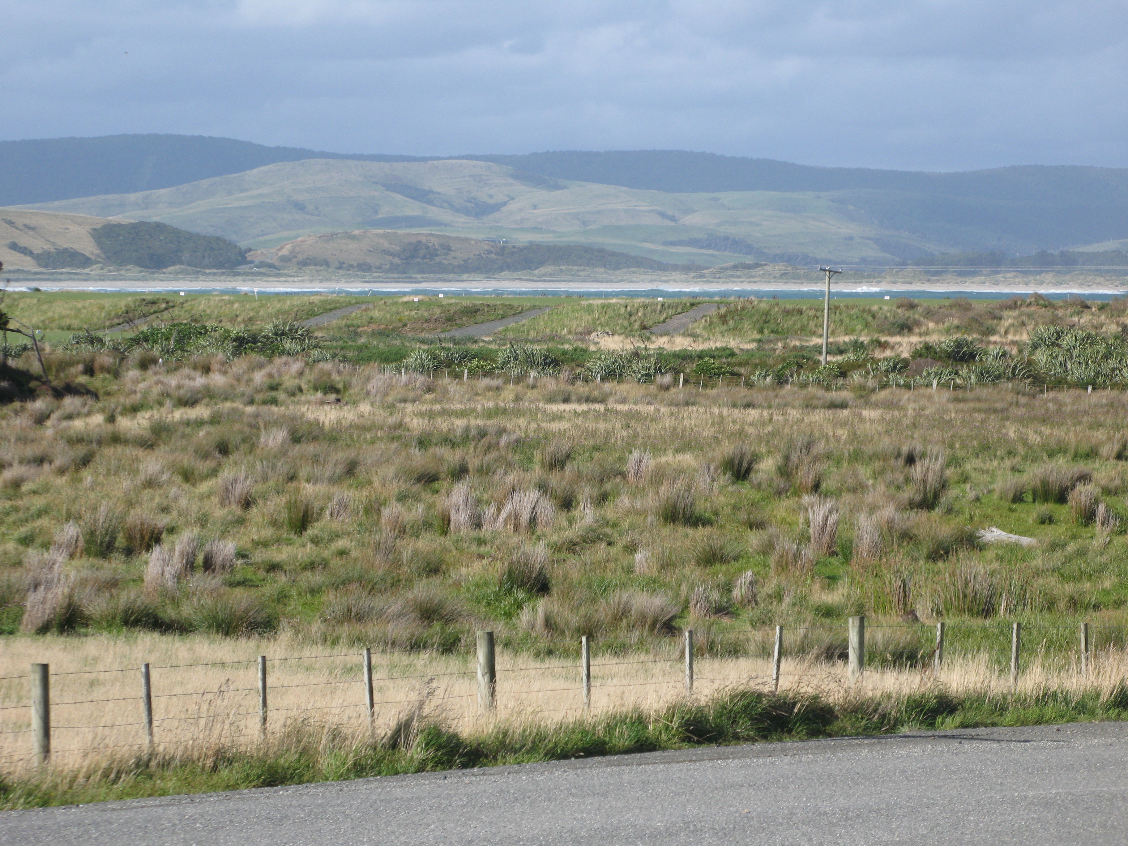
| Random countryside in Clutha. |
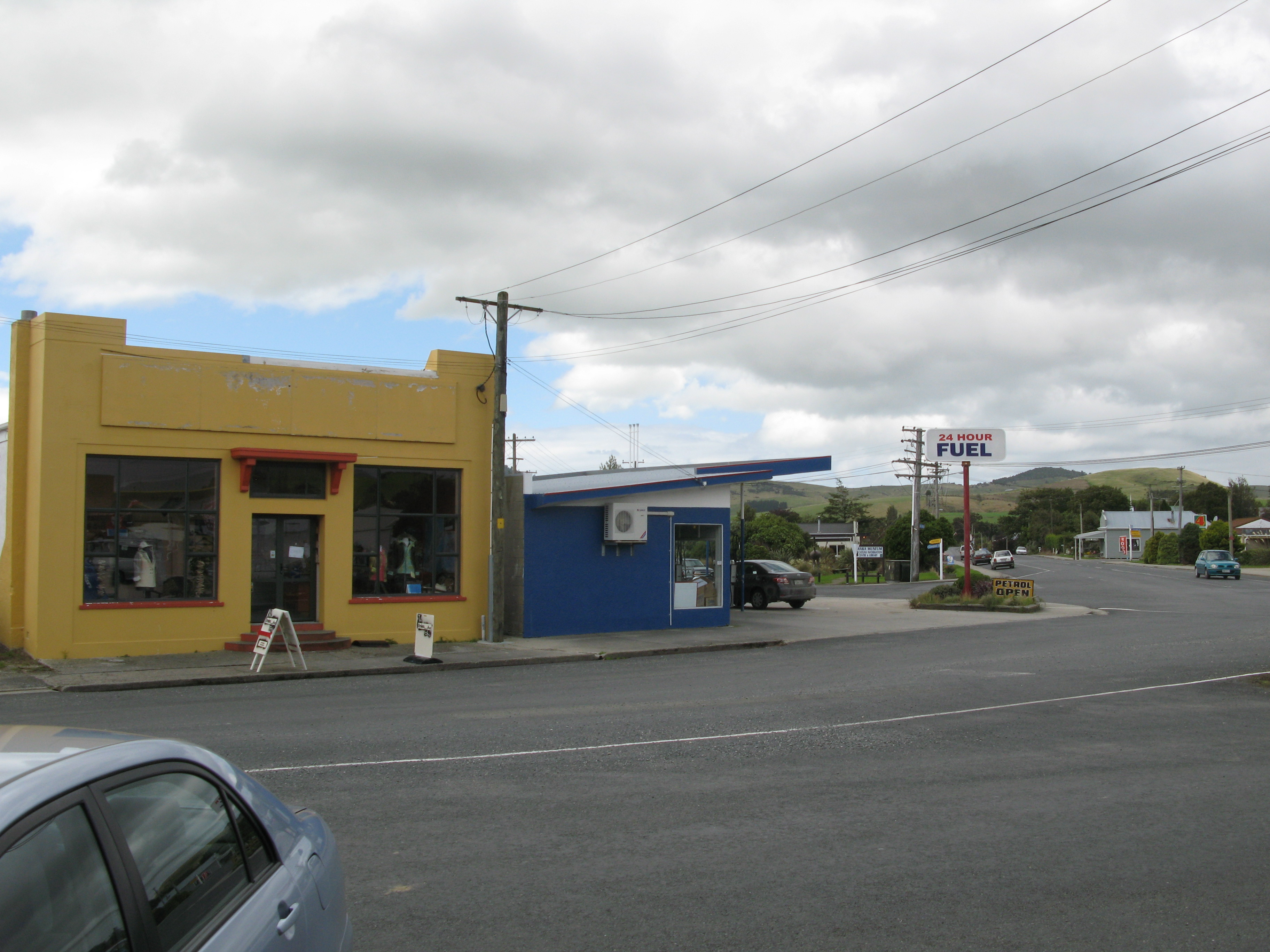
| Owaka, in the Catlins, where I had lunch. |
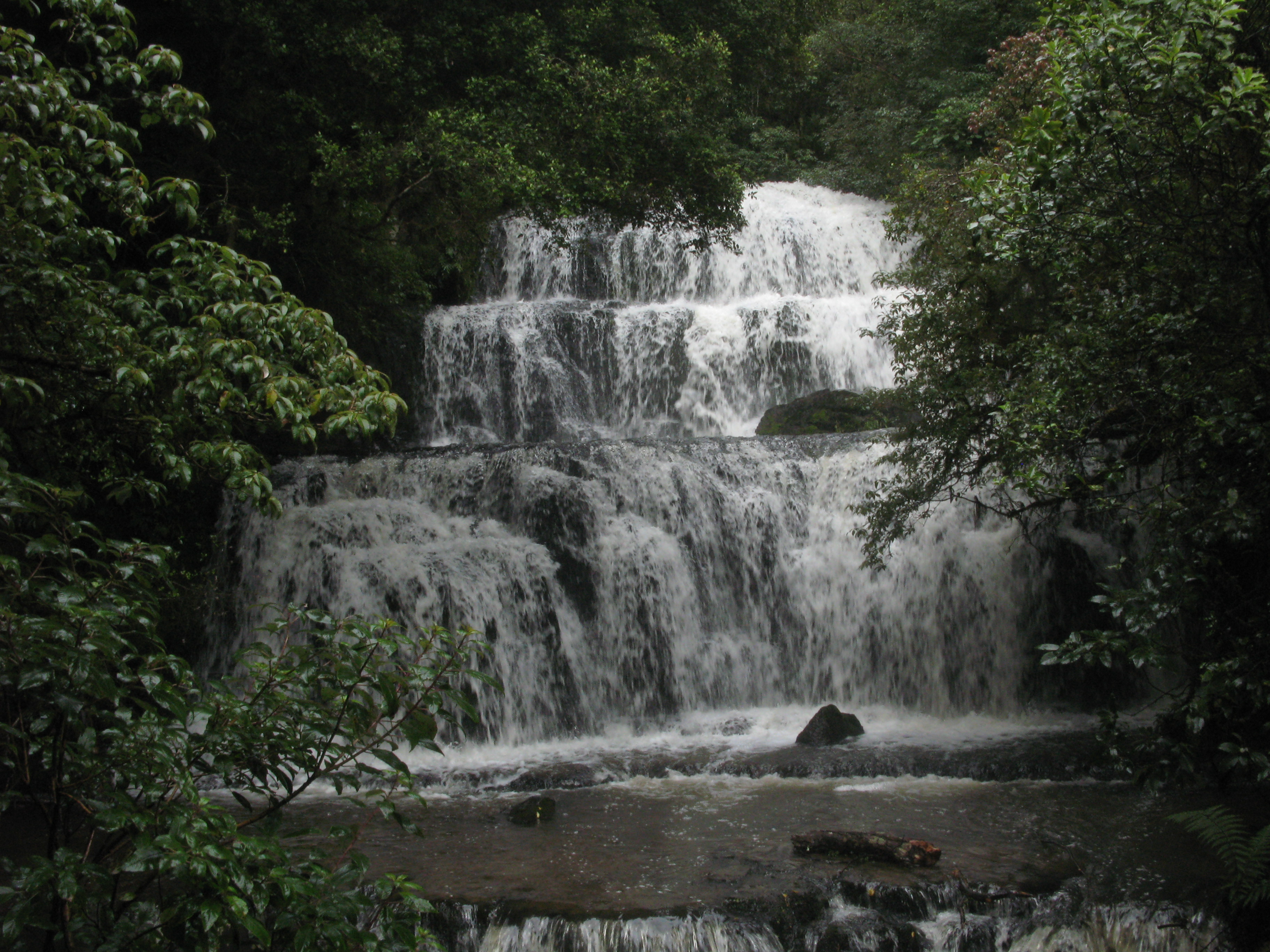
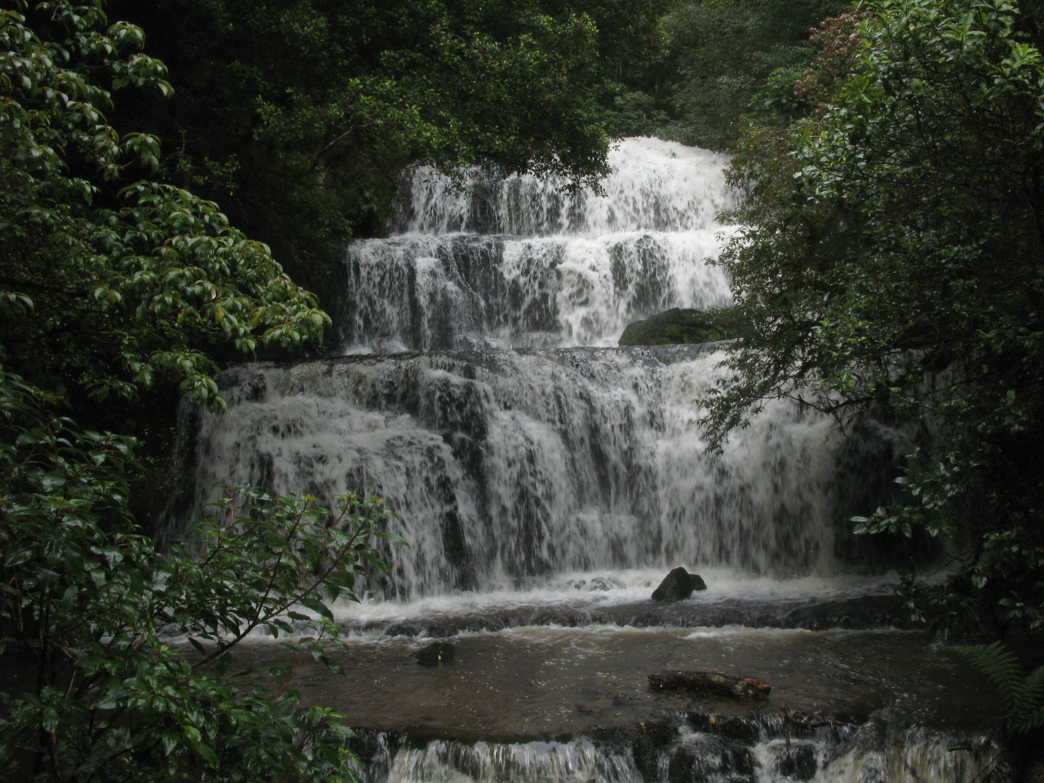
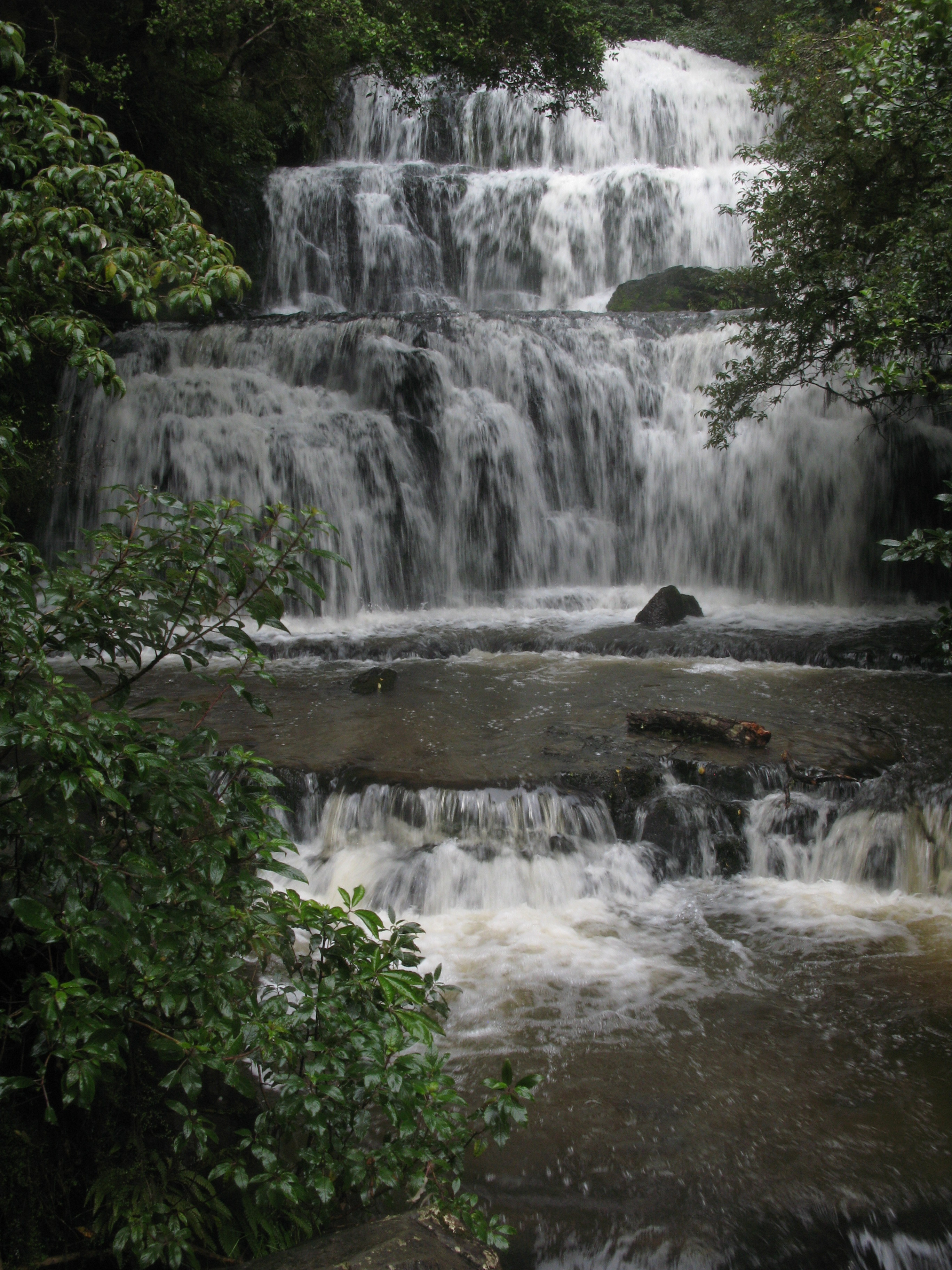
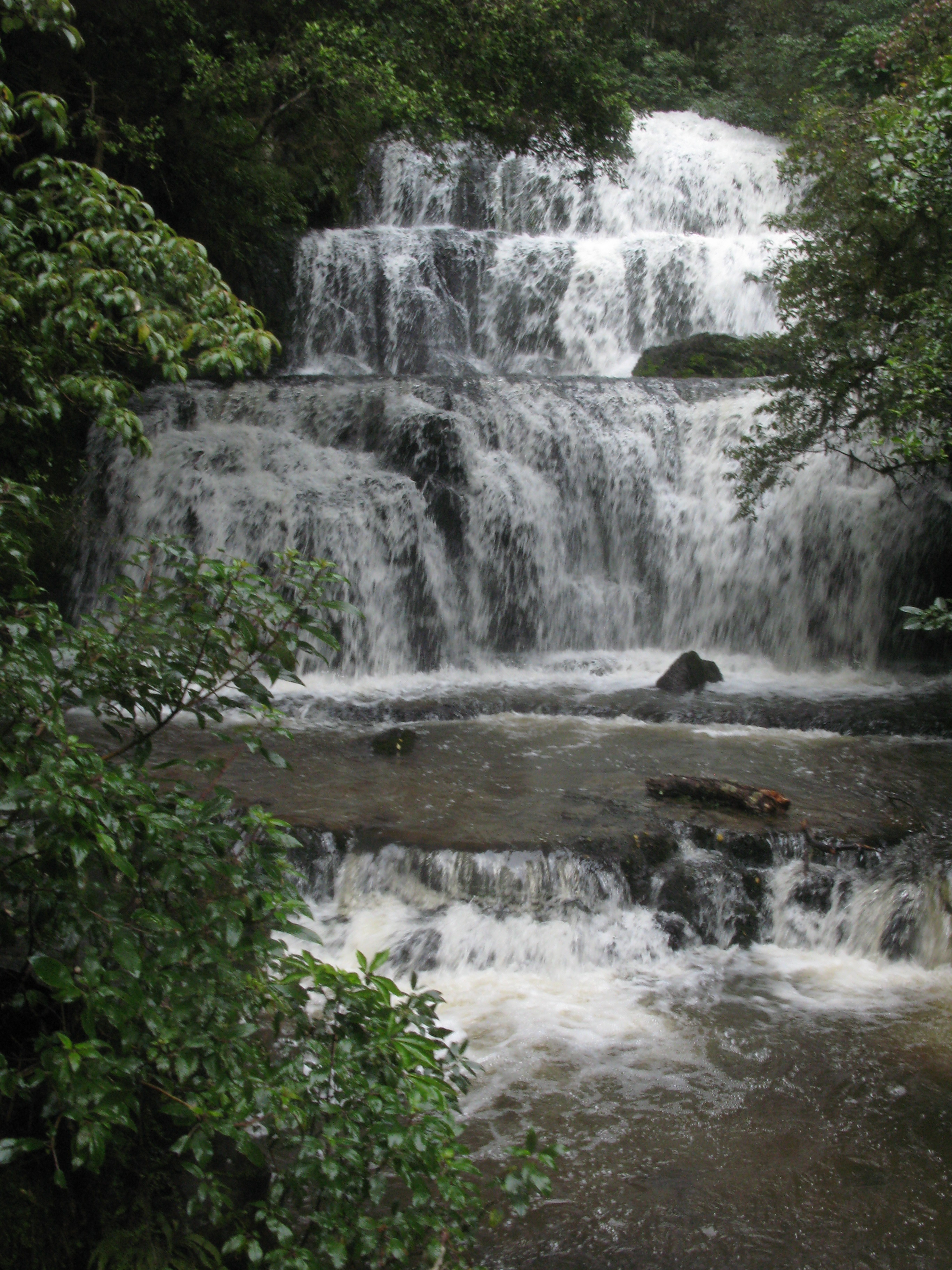
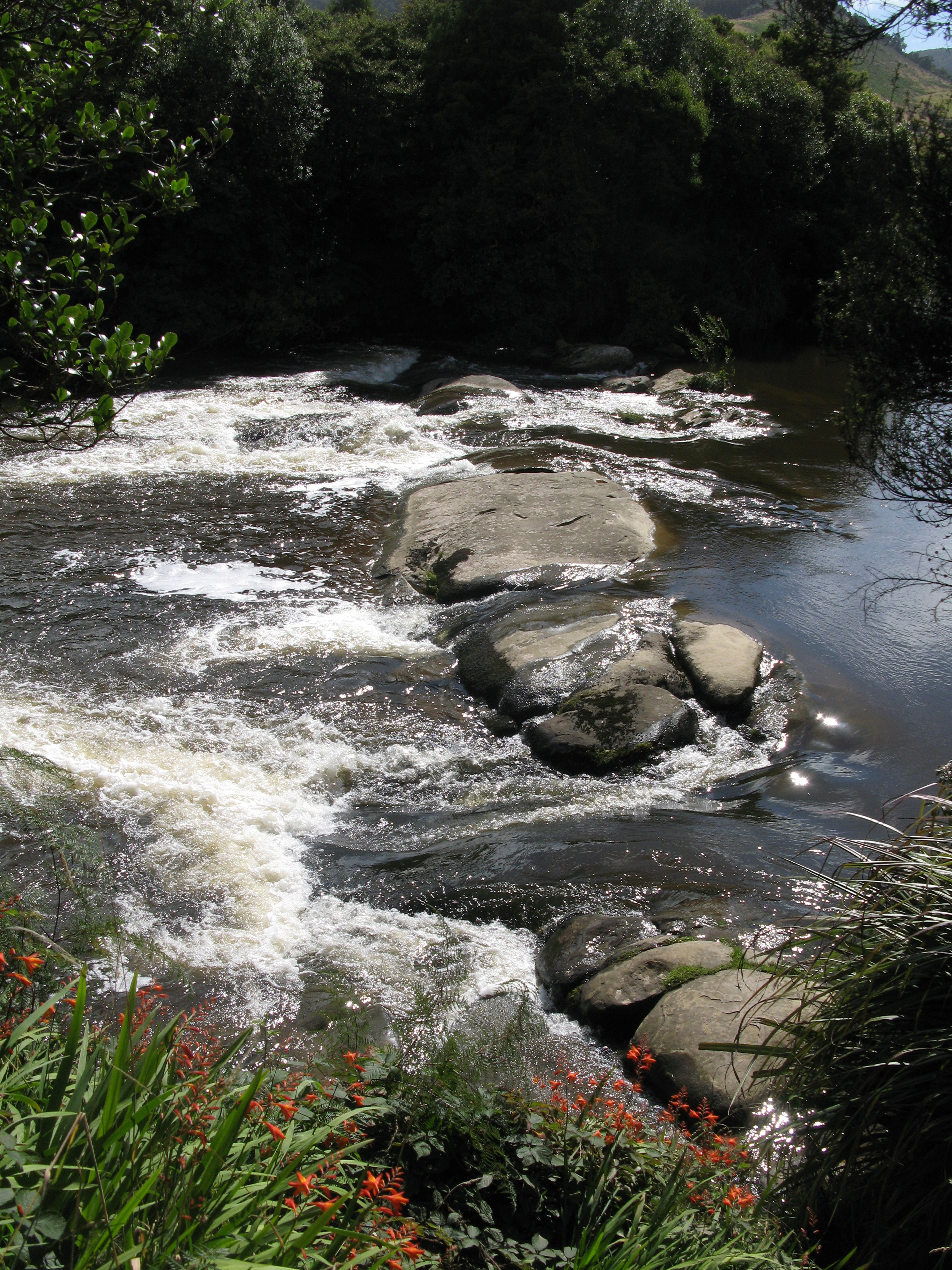
| Purakannui Falls. |
| Purakannui Falls. |
| Purakannui Falls. |
| Purakannui Falls. |
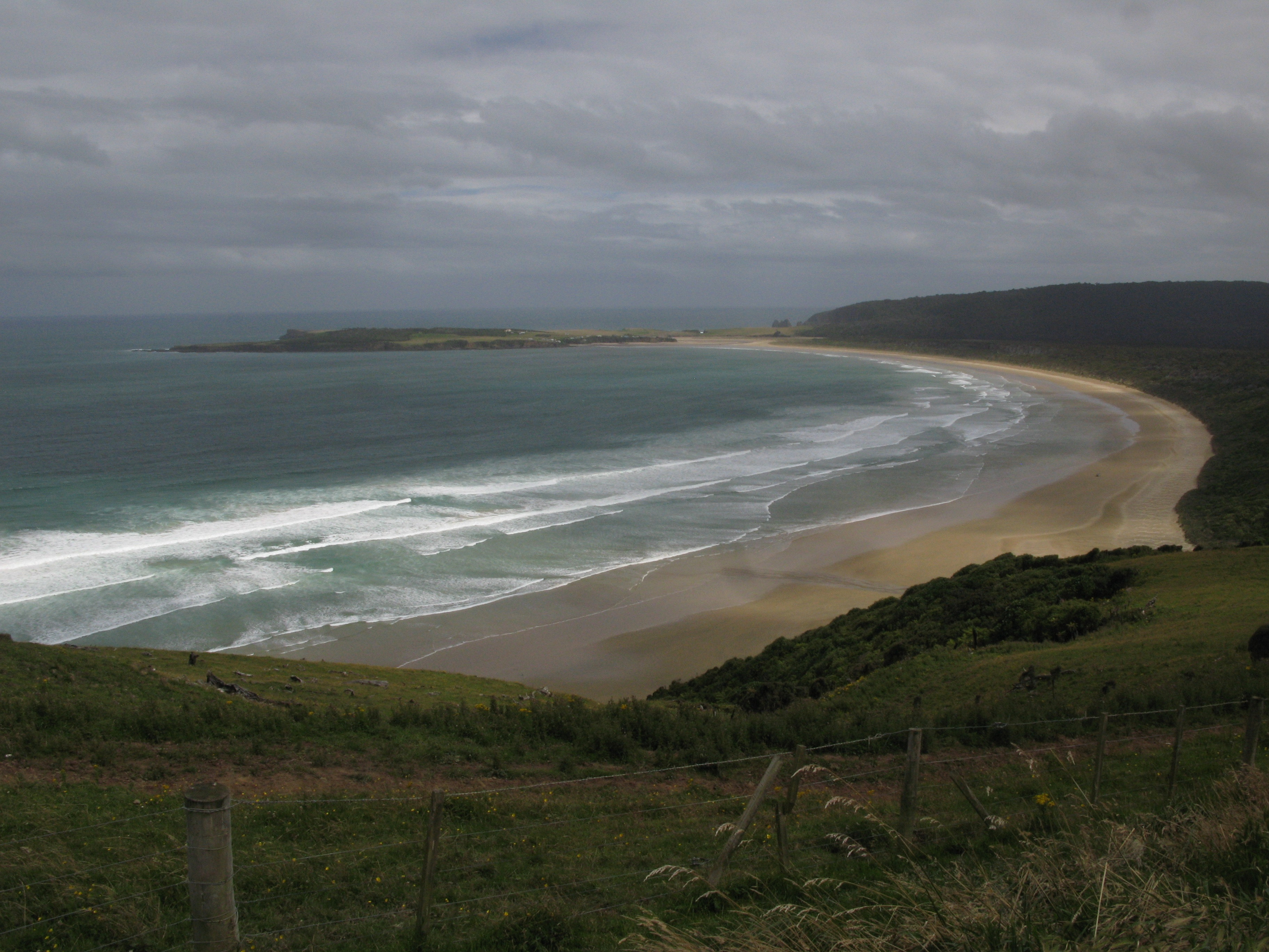
| Tautuku Bay, on the South coast (with the Tuatuku peninsula beyond). |
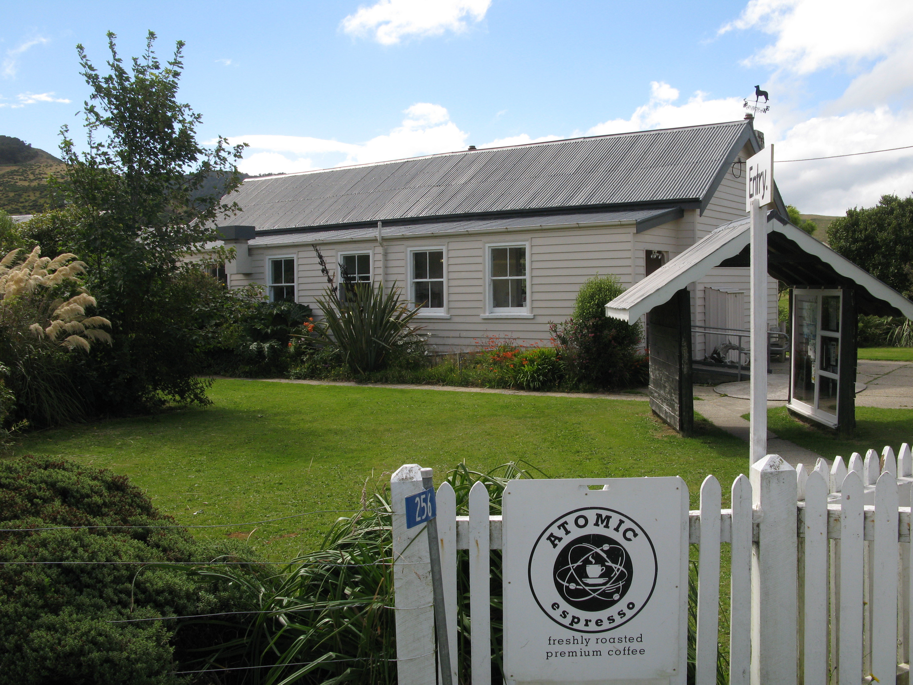
| Cake and coffee at the Niagara Falls Café. |
| The Niagara Falls Café. |
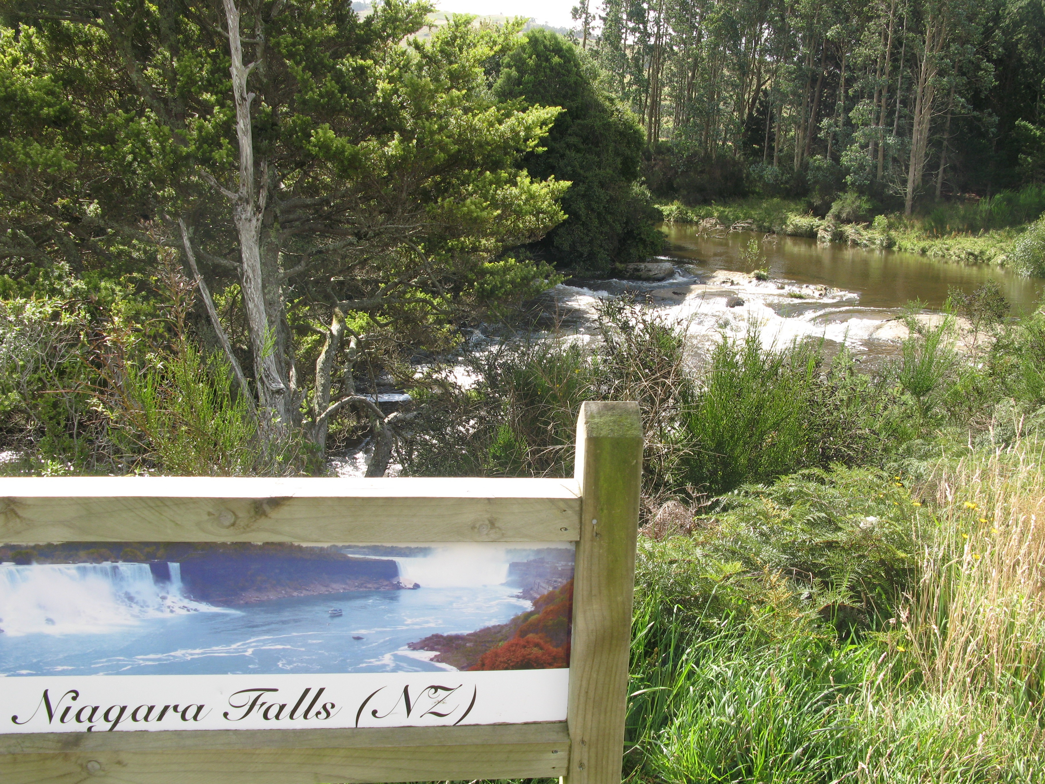
| Niagara Falls. |
| Nope. It's not a joke. (Well, at least it's not my joke. The surveyor who named them seems to have had a sense of humour.) |
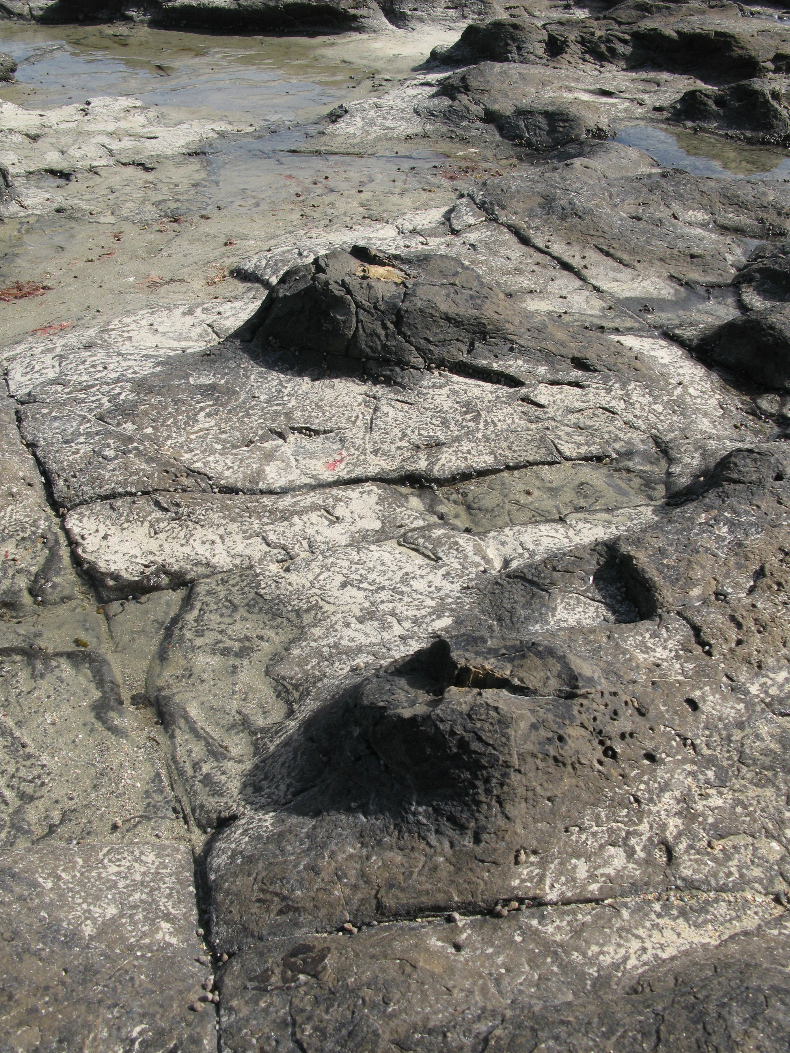
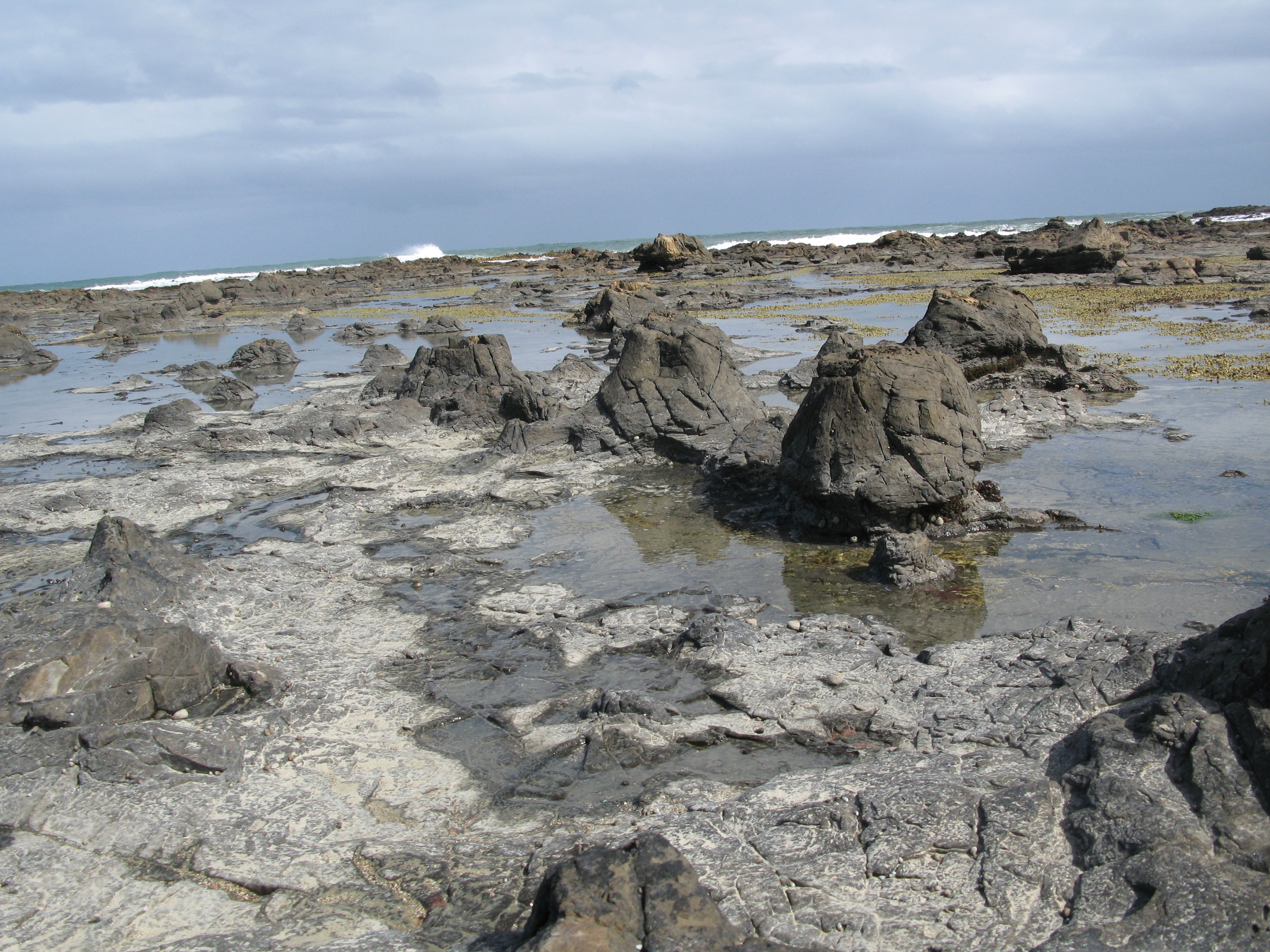
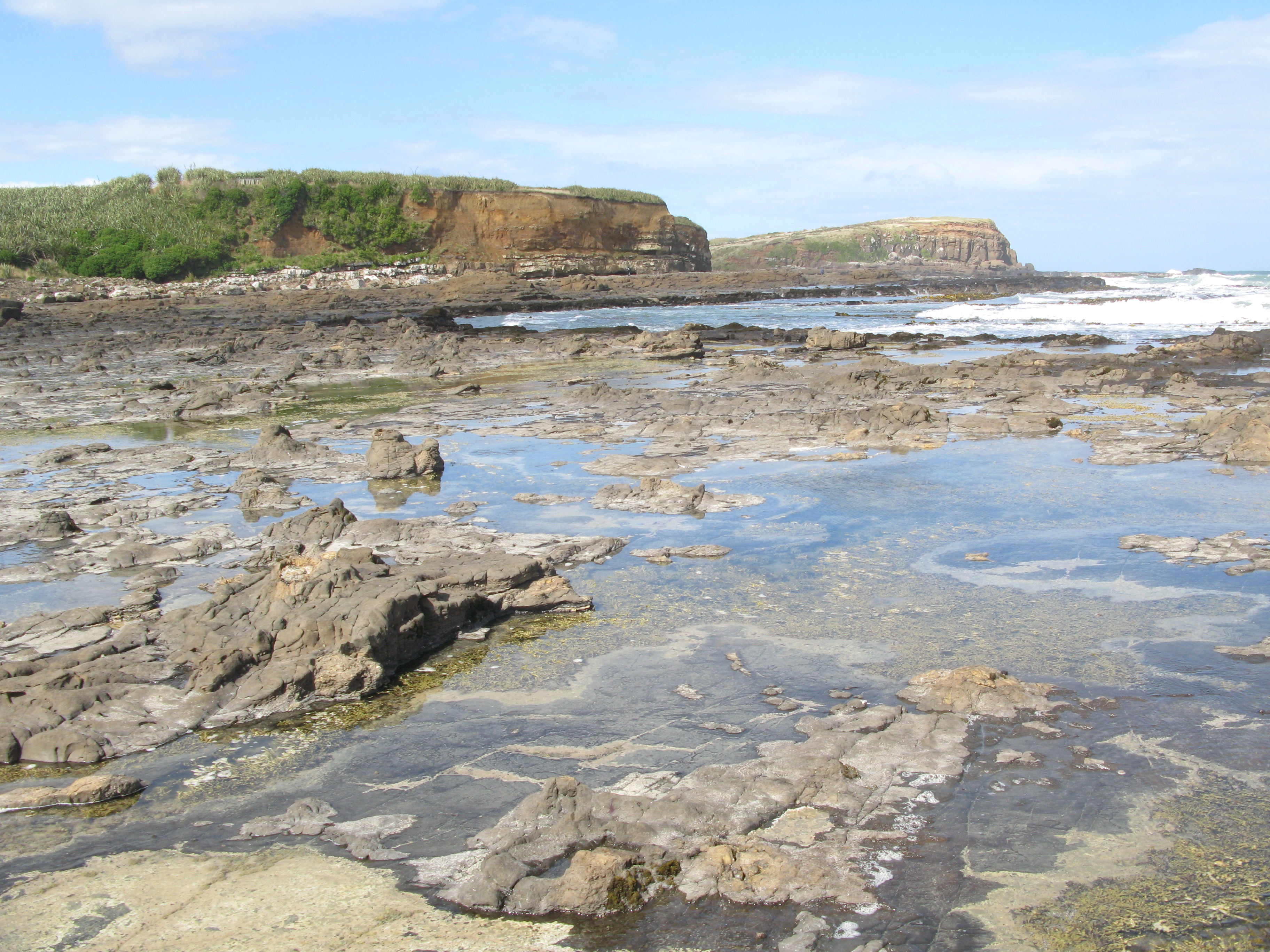
| The petrified forest at Curio Bay. I was very fortunate to stumble upon it at low tide. At high tide, it's all covered. |
| Petrified log. |
| Petrified stumps. |
| Petrified stumps. |
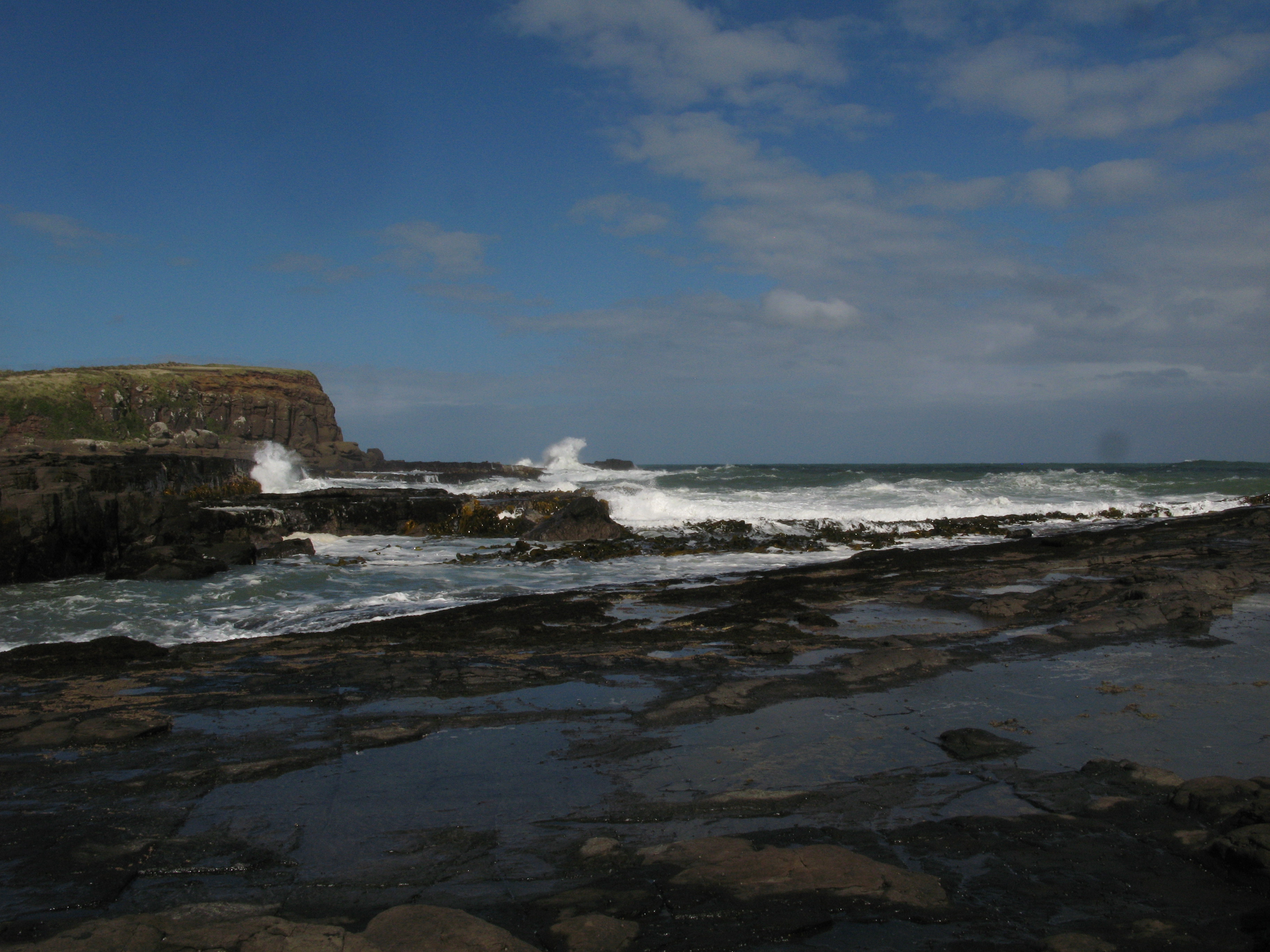
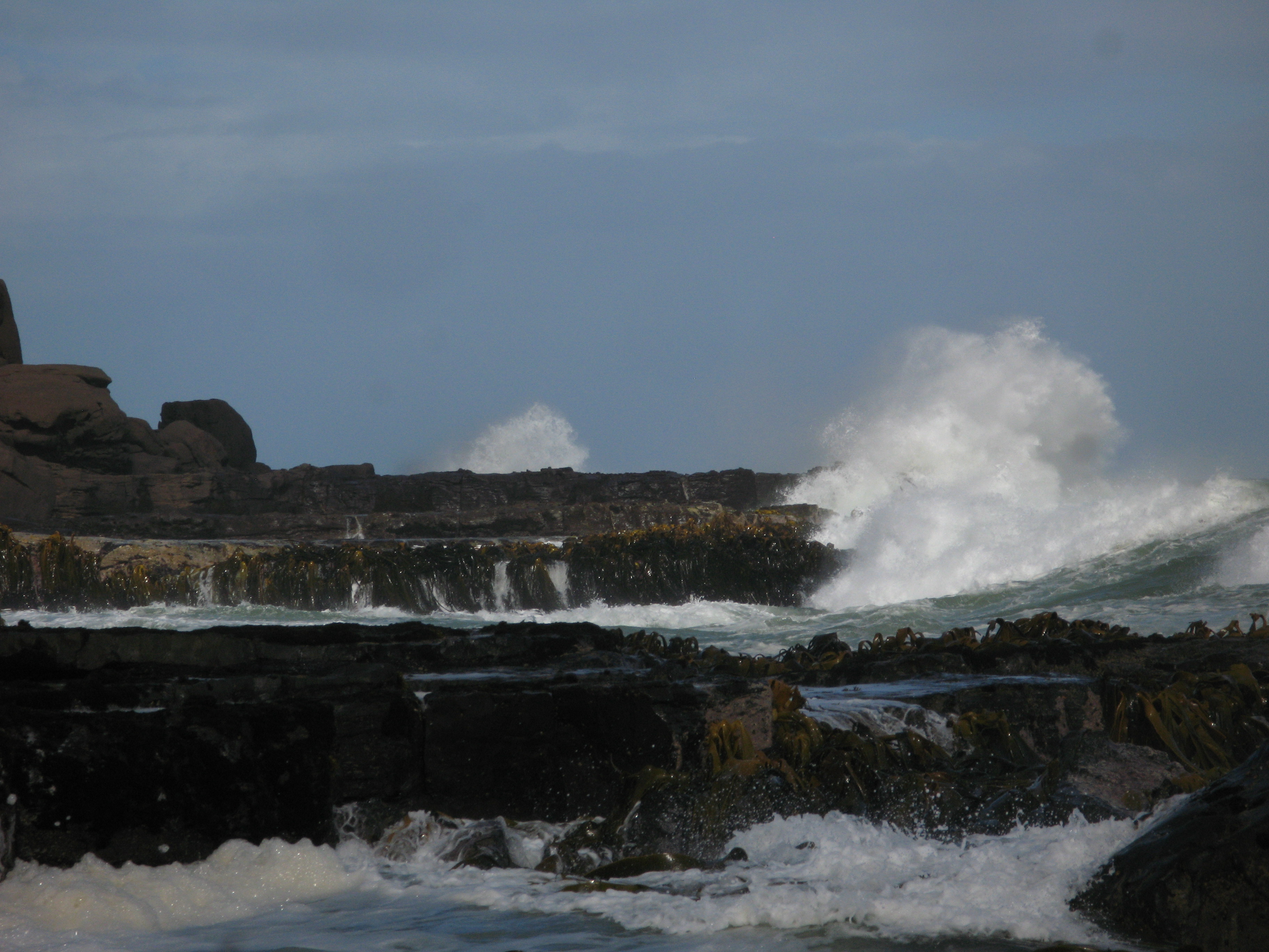
| Surf at Curio Bay. |
| Surf at Curio Bay. |
| More petrified wood. |
| |
| (23882x2399, 10200.06 kb) A 360° panorama from the middle of Curio Bay. | |
| Curio Bay. |
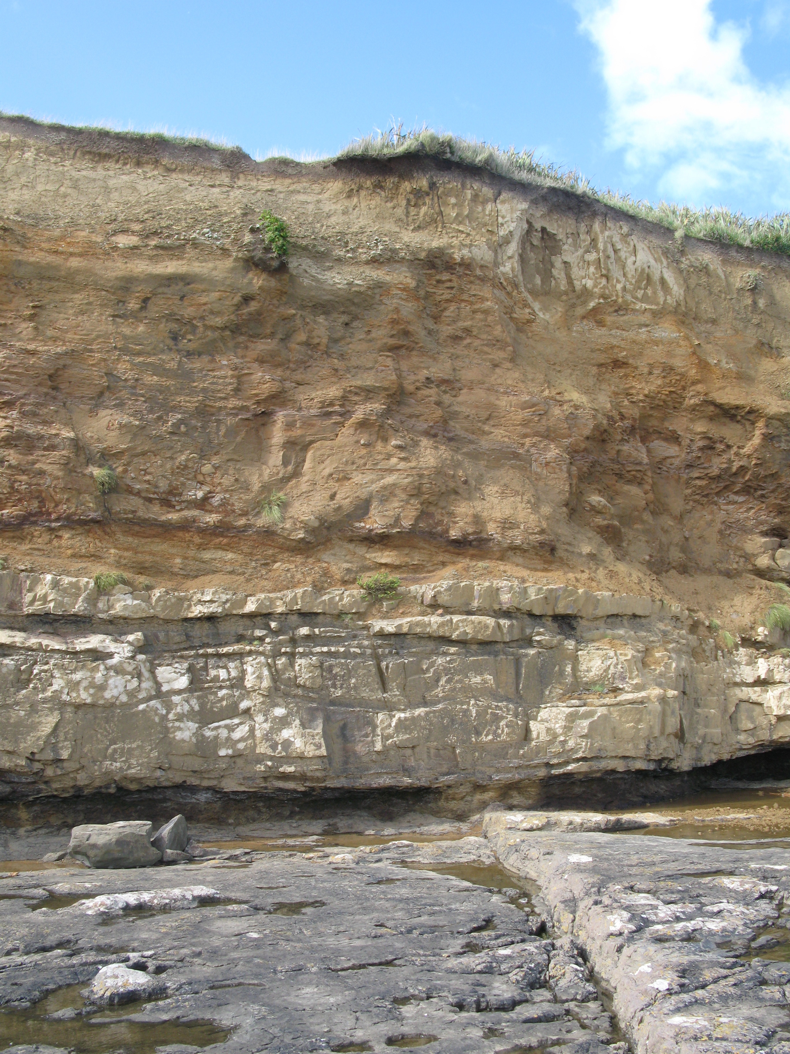
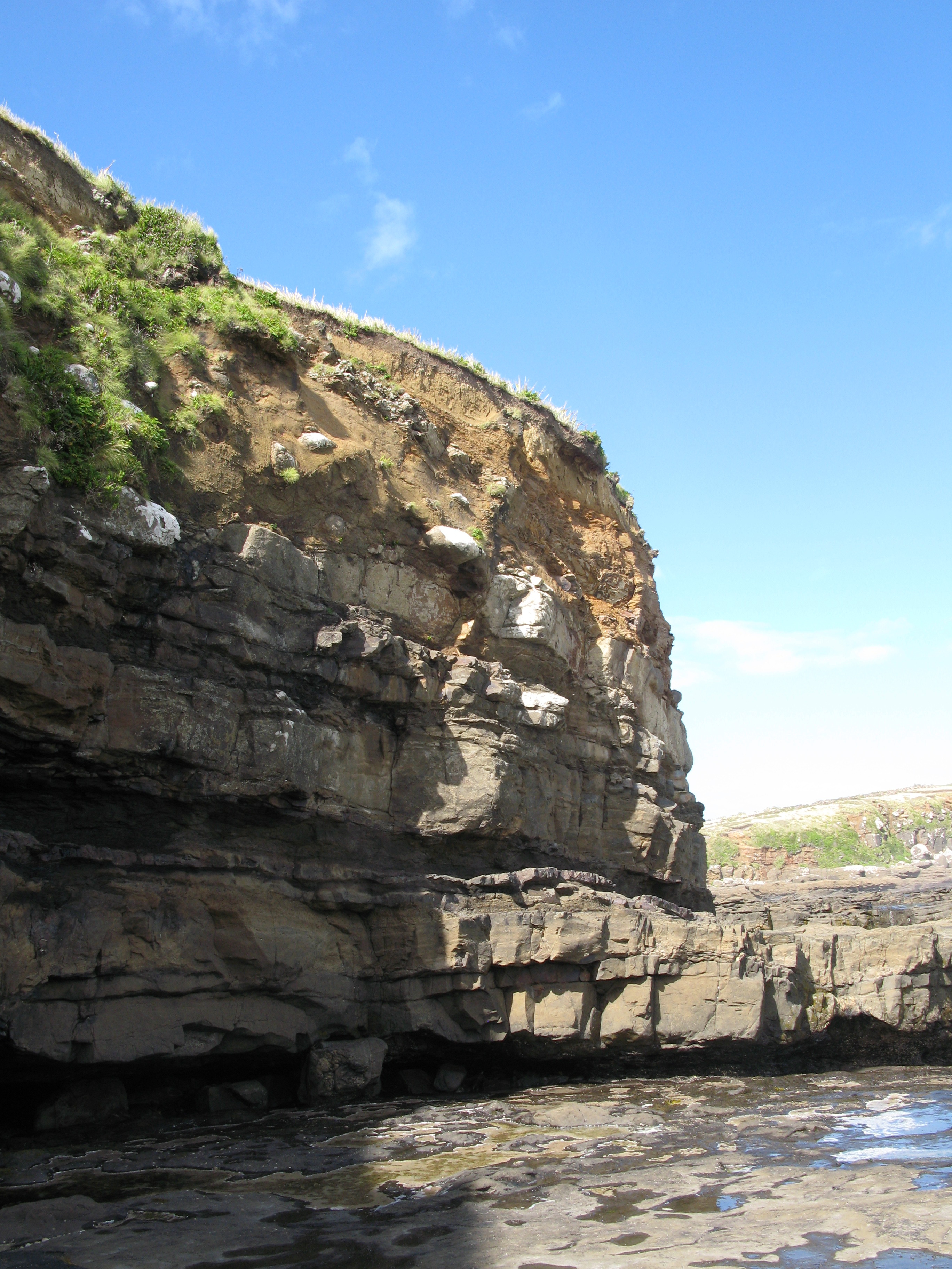
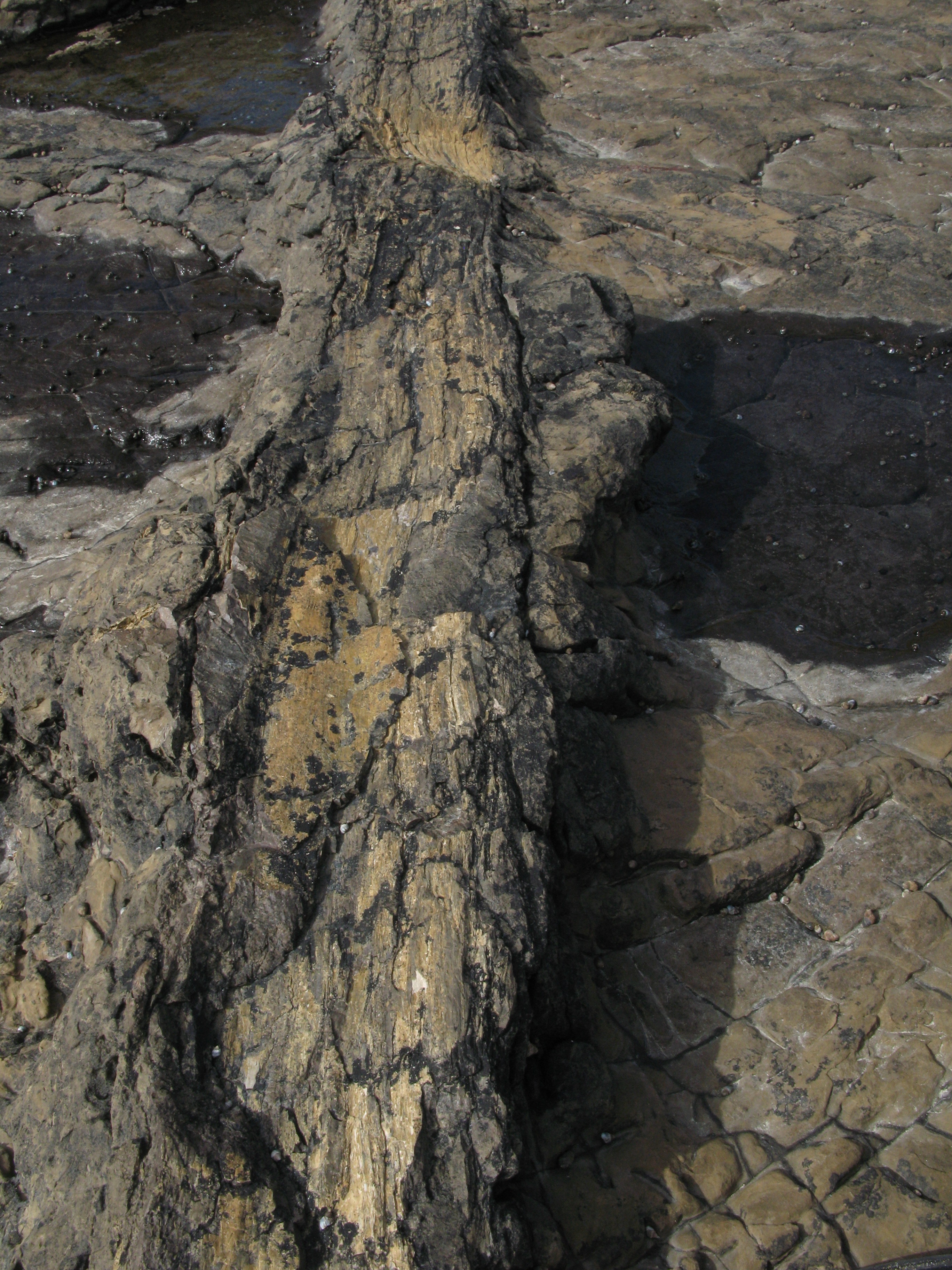
| Stratigraphy. |
| Stratigraphy. |
| Surf rolling in. |
| Surf rolling in. |
| Surf rolling in. |
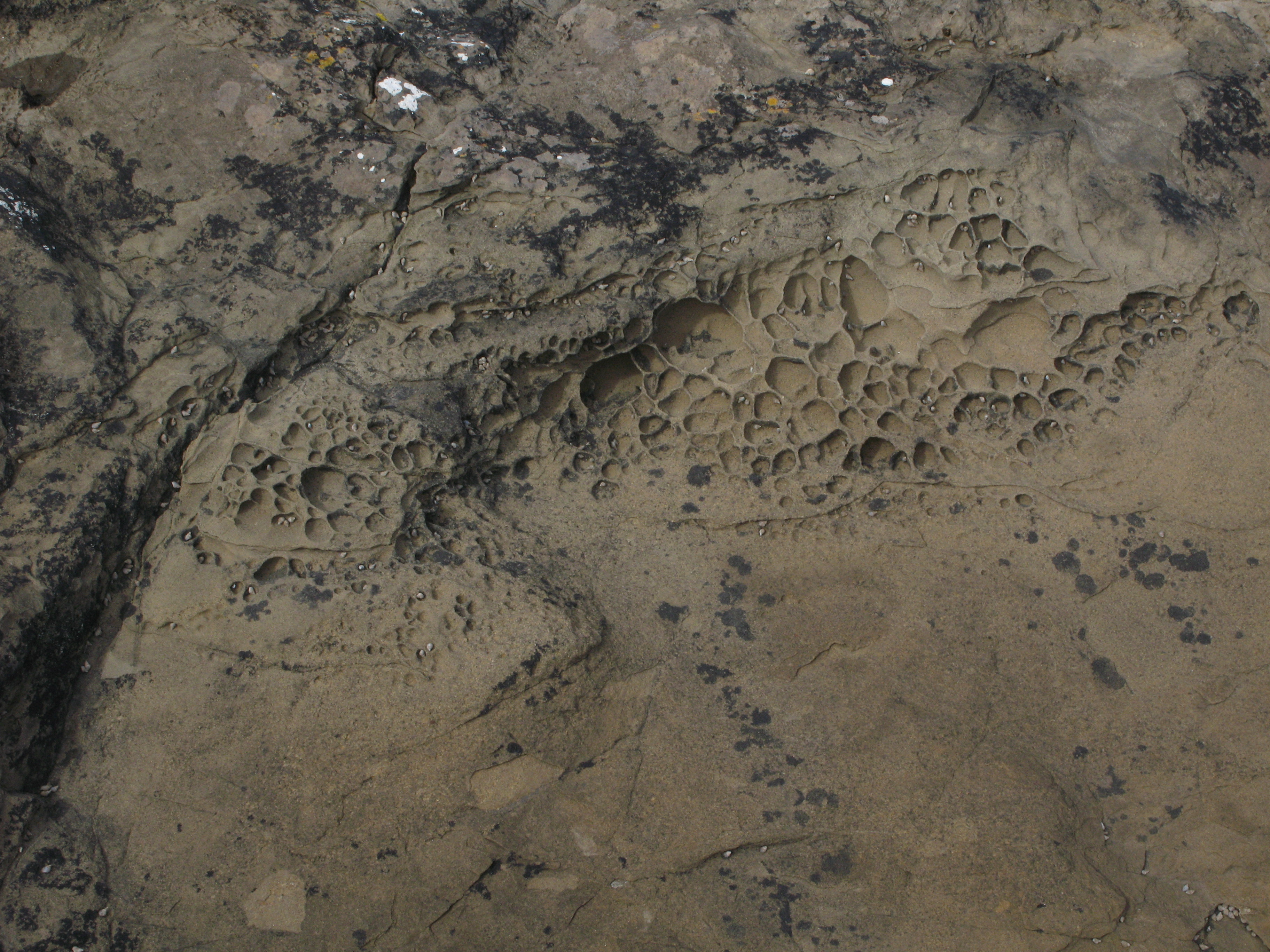
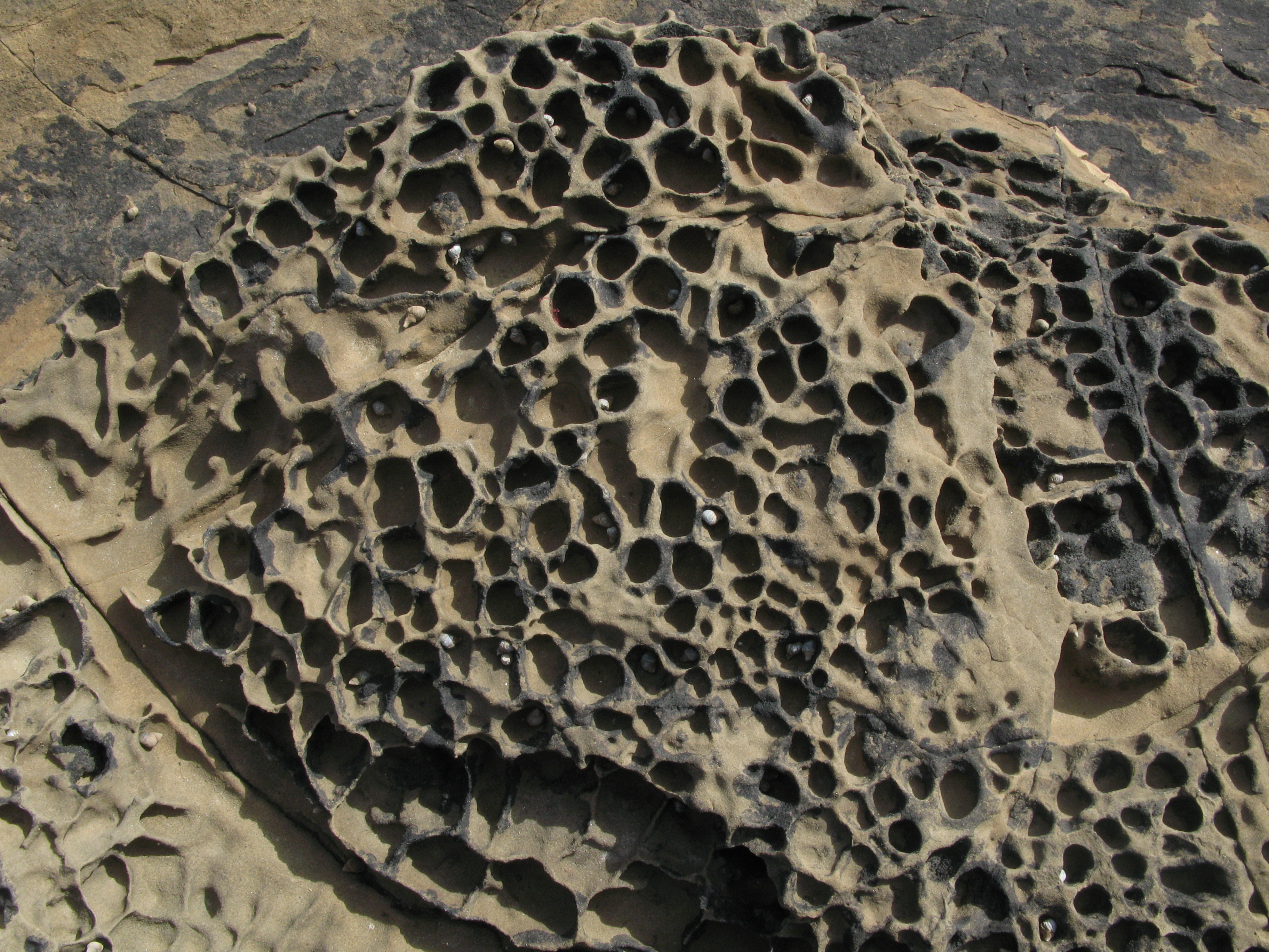
| These are petrified mud bubbles. They're concave holes in the rock. |
| More petrified bubbles. |
| Another petrified log poking out from among the rocks. |
| Petrified forest. The logs lying down were carried threre by the deluge that killed the forest (of which the stumps remain). |
| |
| (10880x2482, 6675.46 kb) Curio Bay. | |
| Curio Bay. |
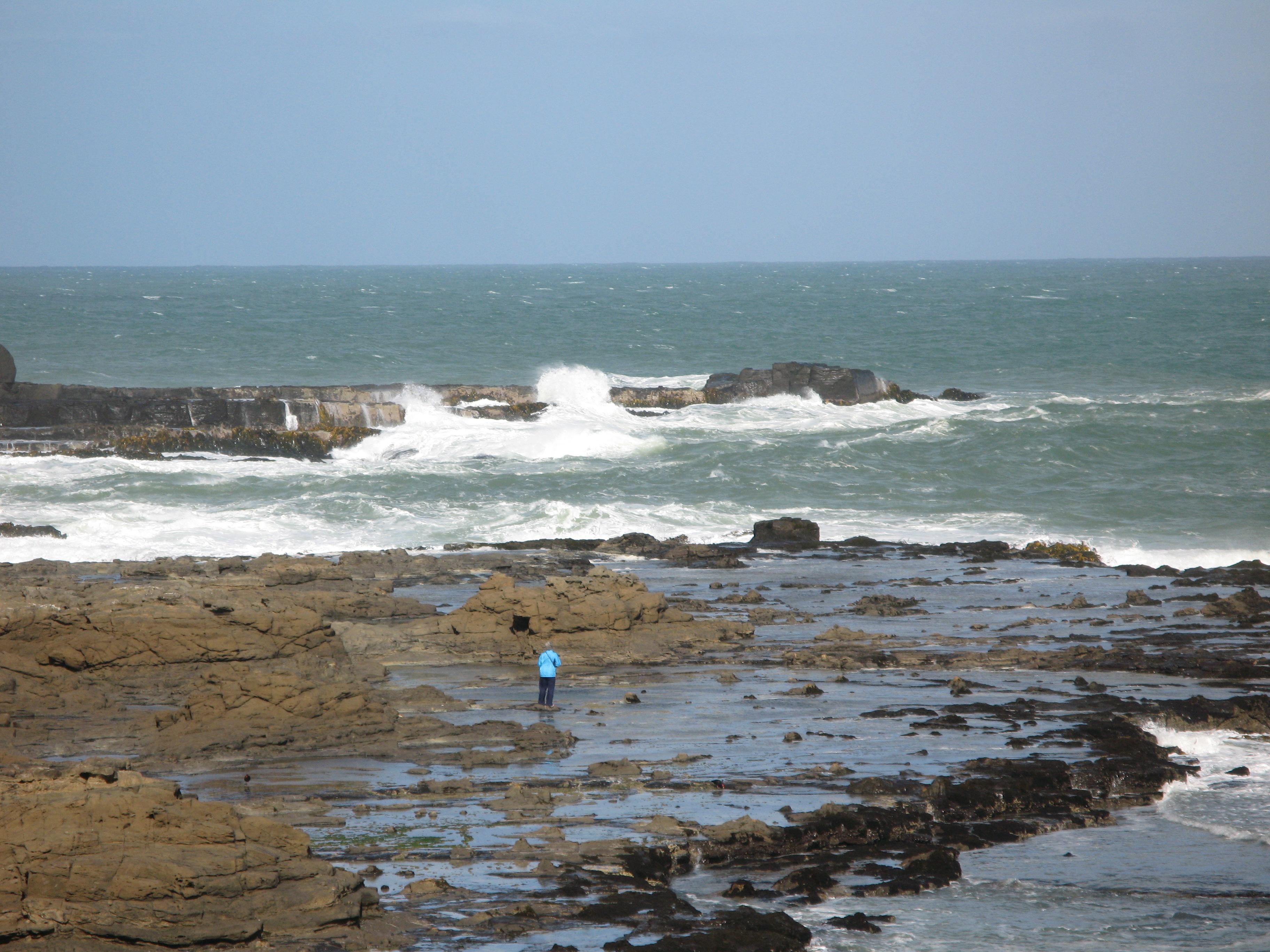
| Watching the surf. |
| Watching the surf. |
| Looking back from Curio Bay at Waikawa Harbour. |
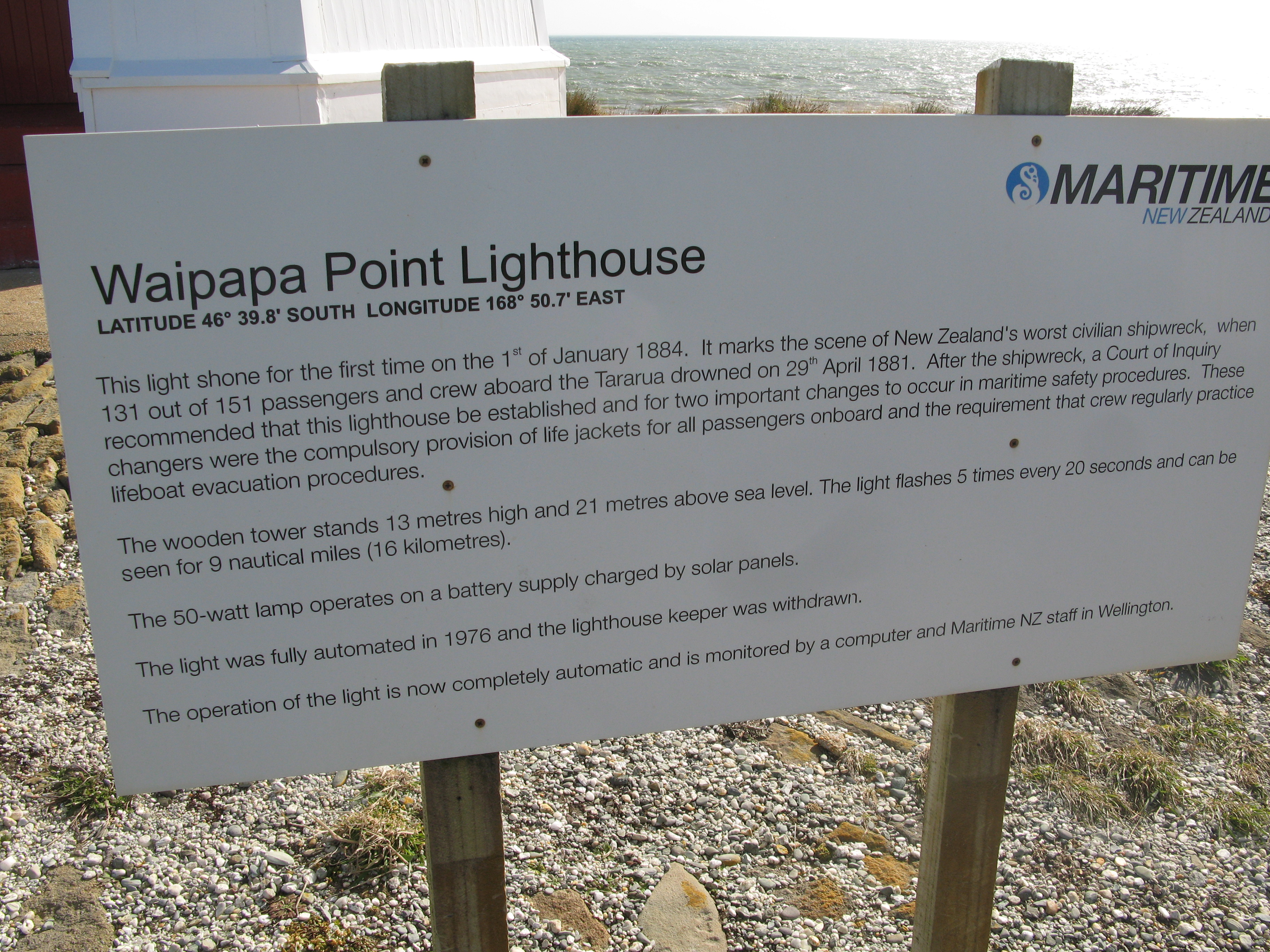
| Waipapa Point lighthouse. |
| Waipapa Point lighthouse. |
| Waipapa Point lighthouse. |
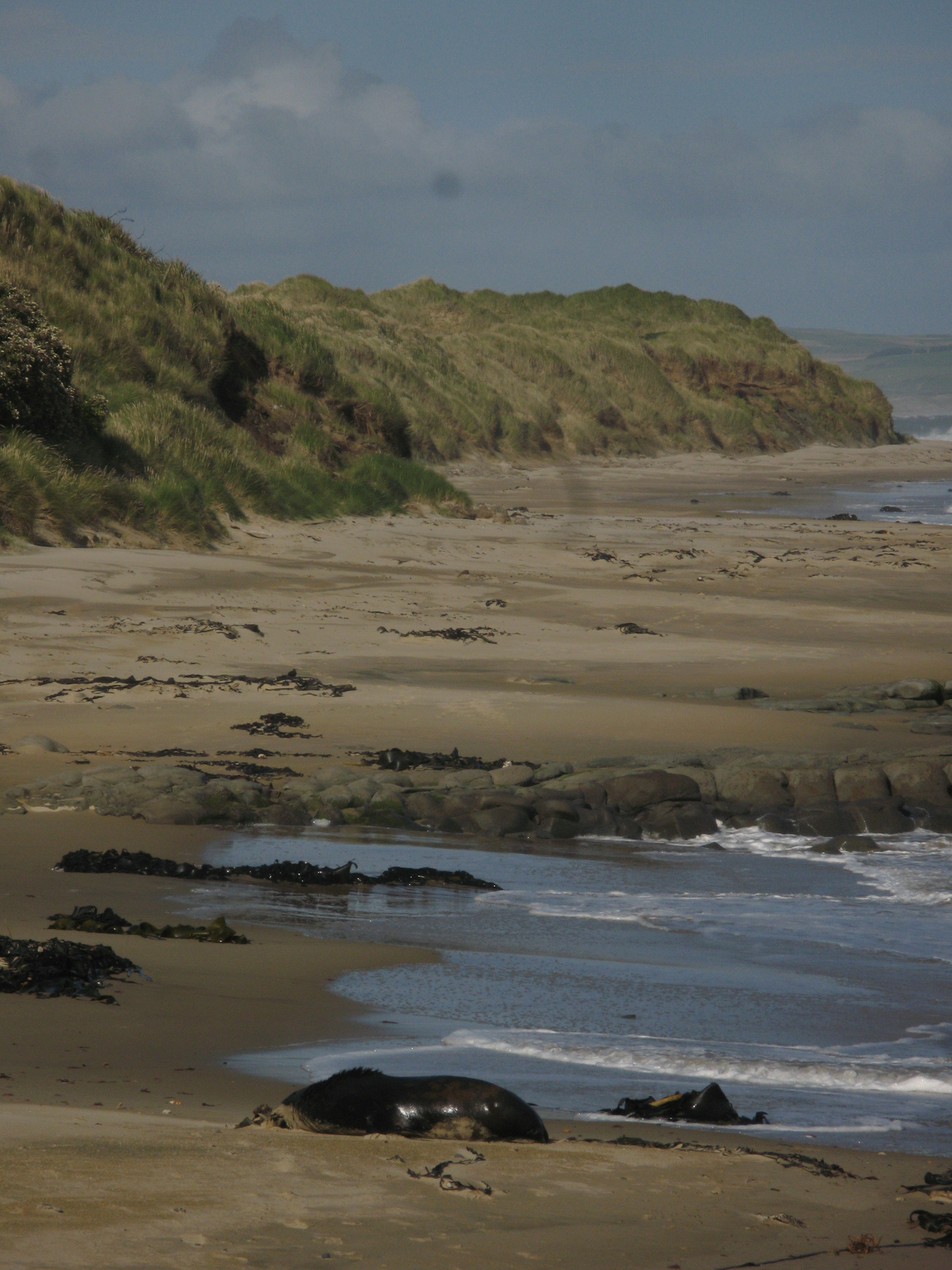
| Waipapa Point lighthouse. There was a very irate sea gull trying to get me off it's beach while I was taking these pictures. Eventually I gave in and turned back to the path up the bluff, only to run into... |
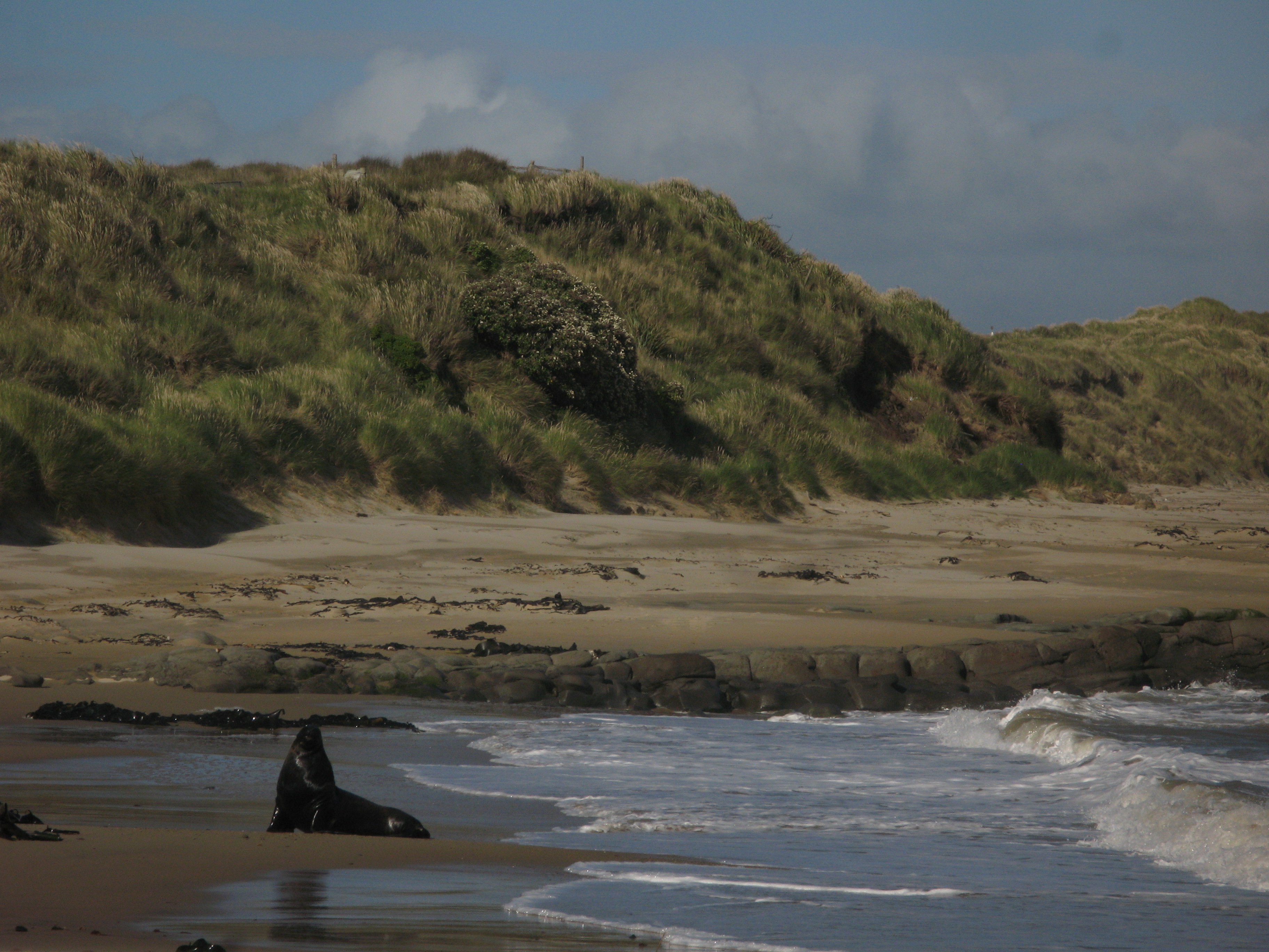
| ... this guy, ... |
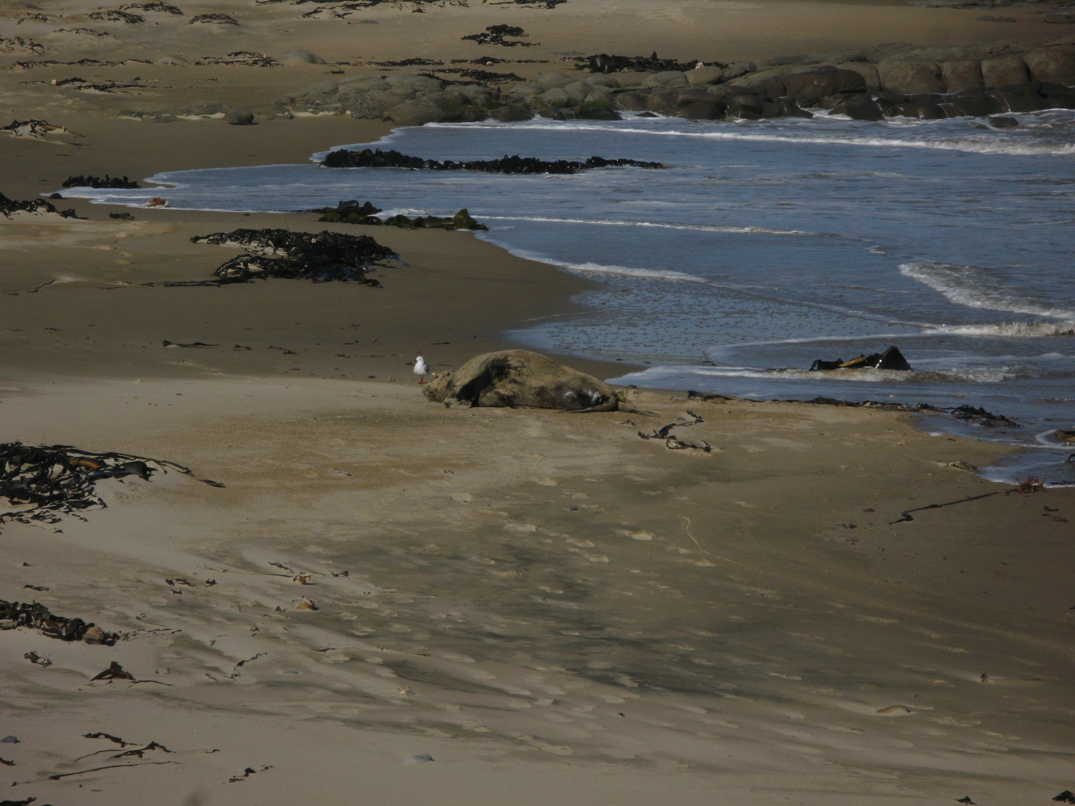
| ... a sea lion, who, once I gave him some room, ... |
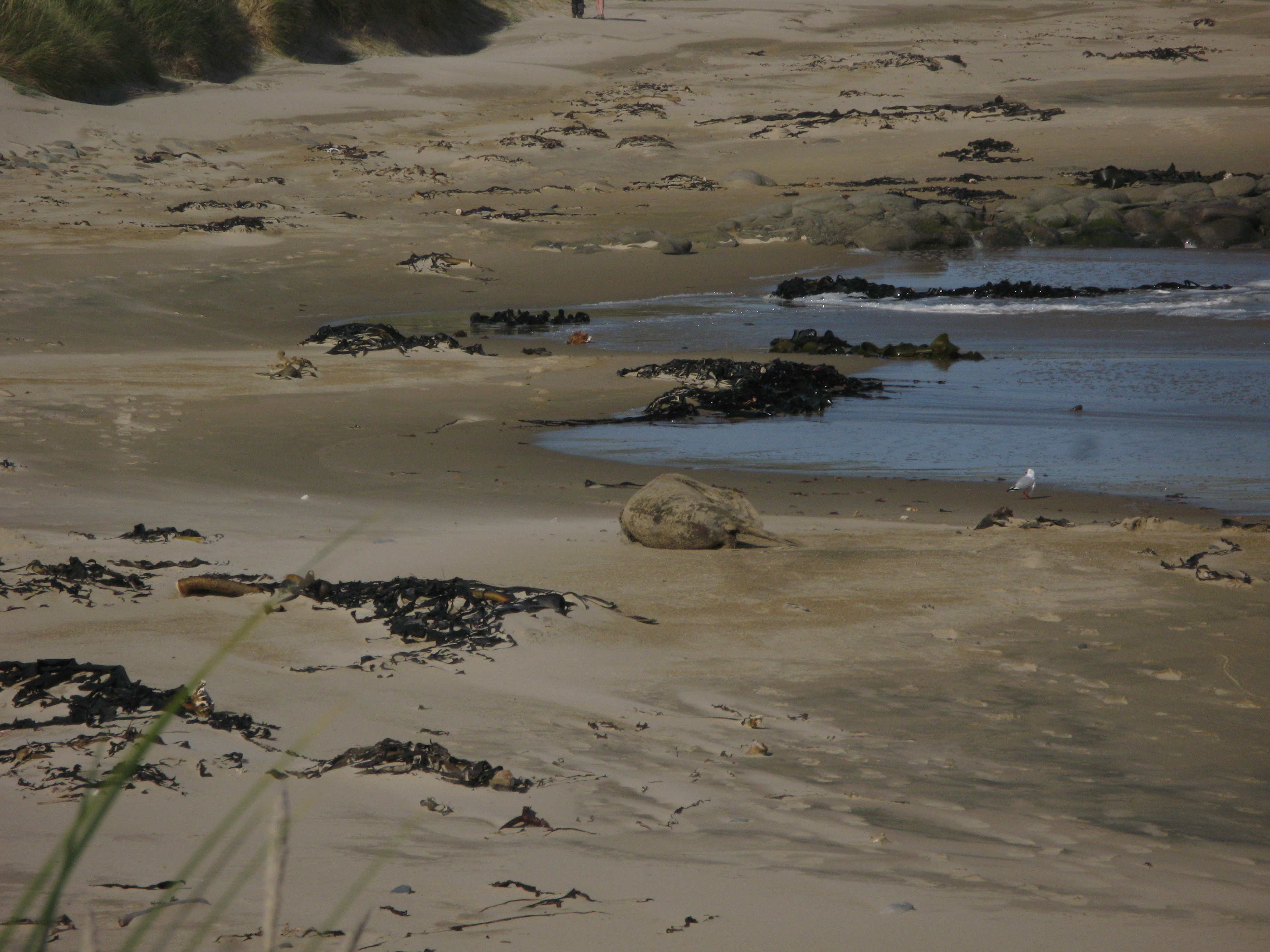
| ... proceeded to get himself all dirty (sandy, I guess). |
| Rolling around. |
| And some more. |
| Another view of the lighthouse. |
| Seems quite content. |
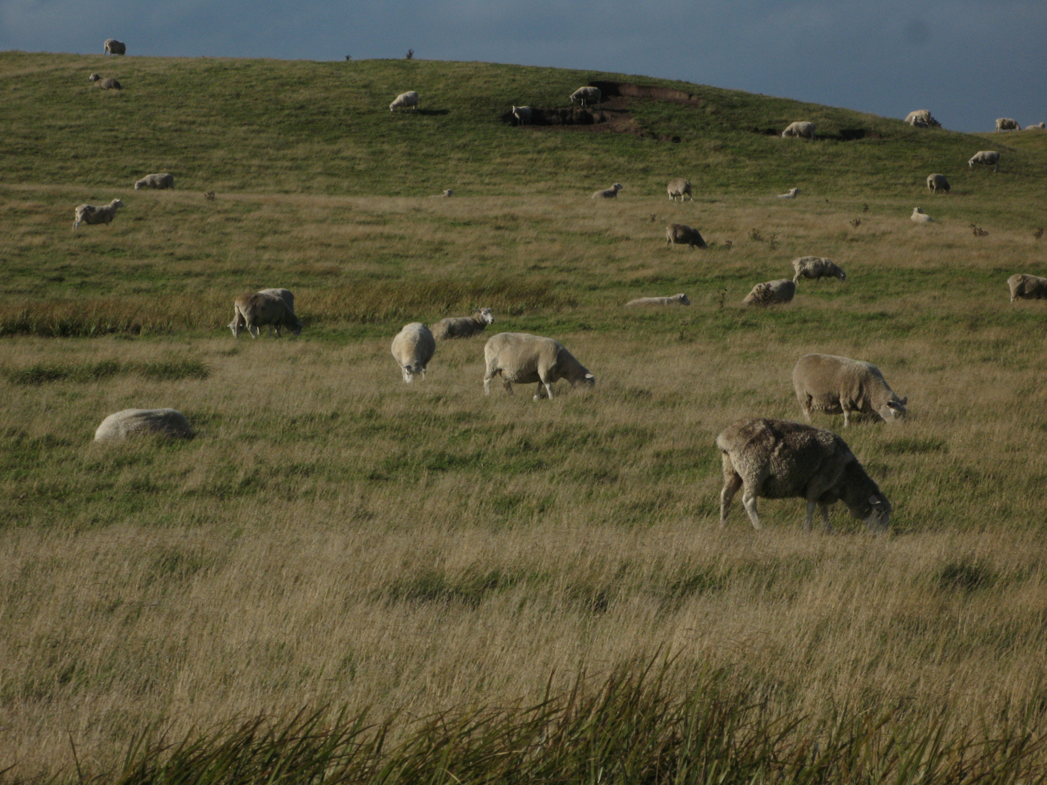
| Random sheep. They're everywhere. I figured I might as well take a picture of some of them. |
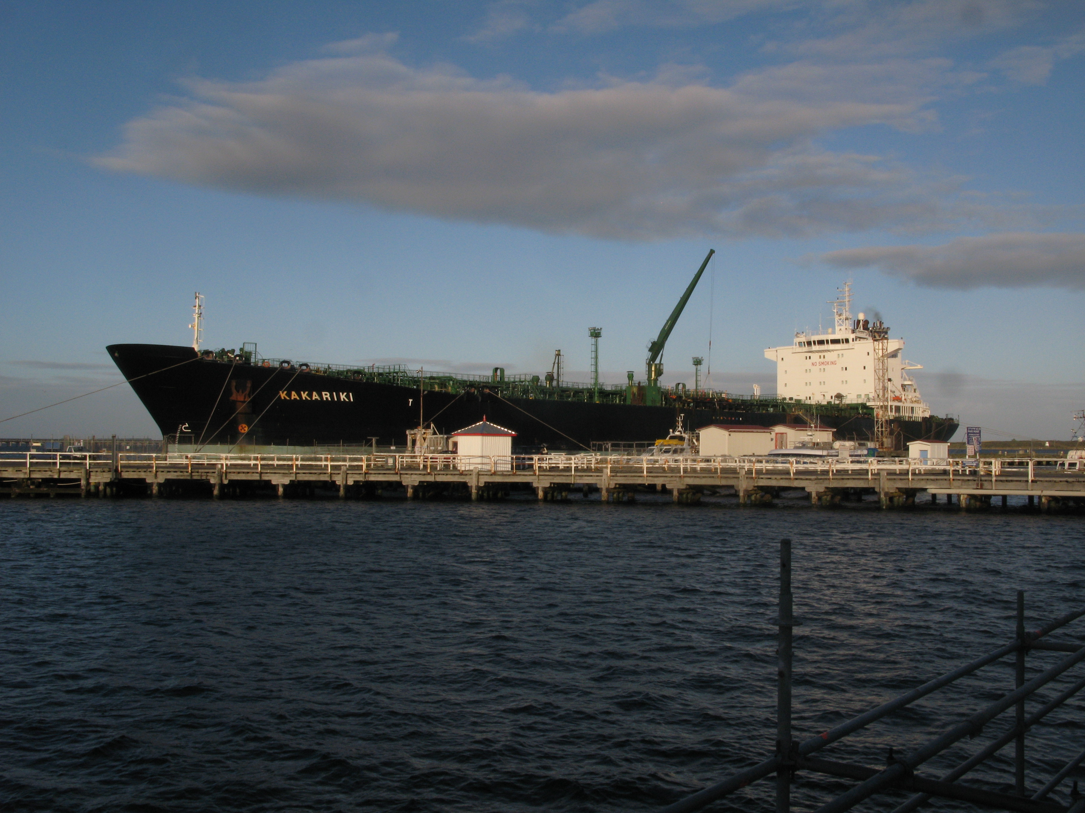
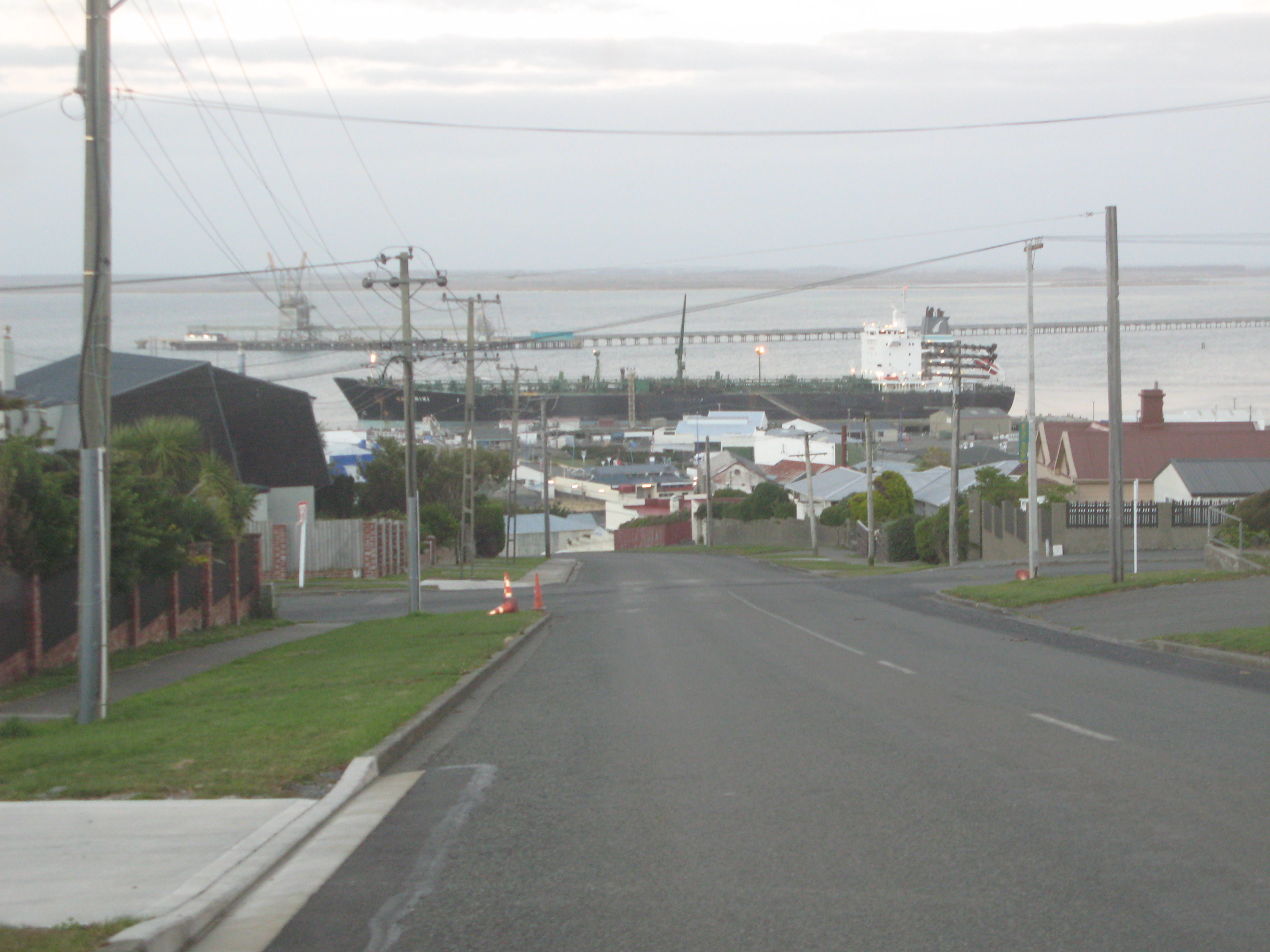
| A ship in Bluff. |
| The sign at Stirling Point in Bluff. It's not the most southerly point on the South Island, but it sort of pretends to be. (I did pass the actual most southerly point. It wasn't anything to write home about, or even, say, slow down.) |
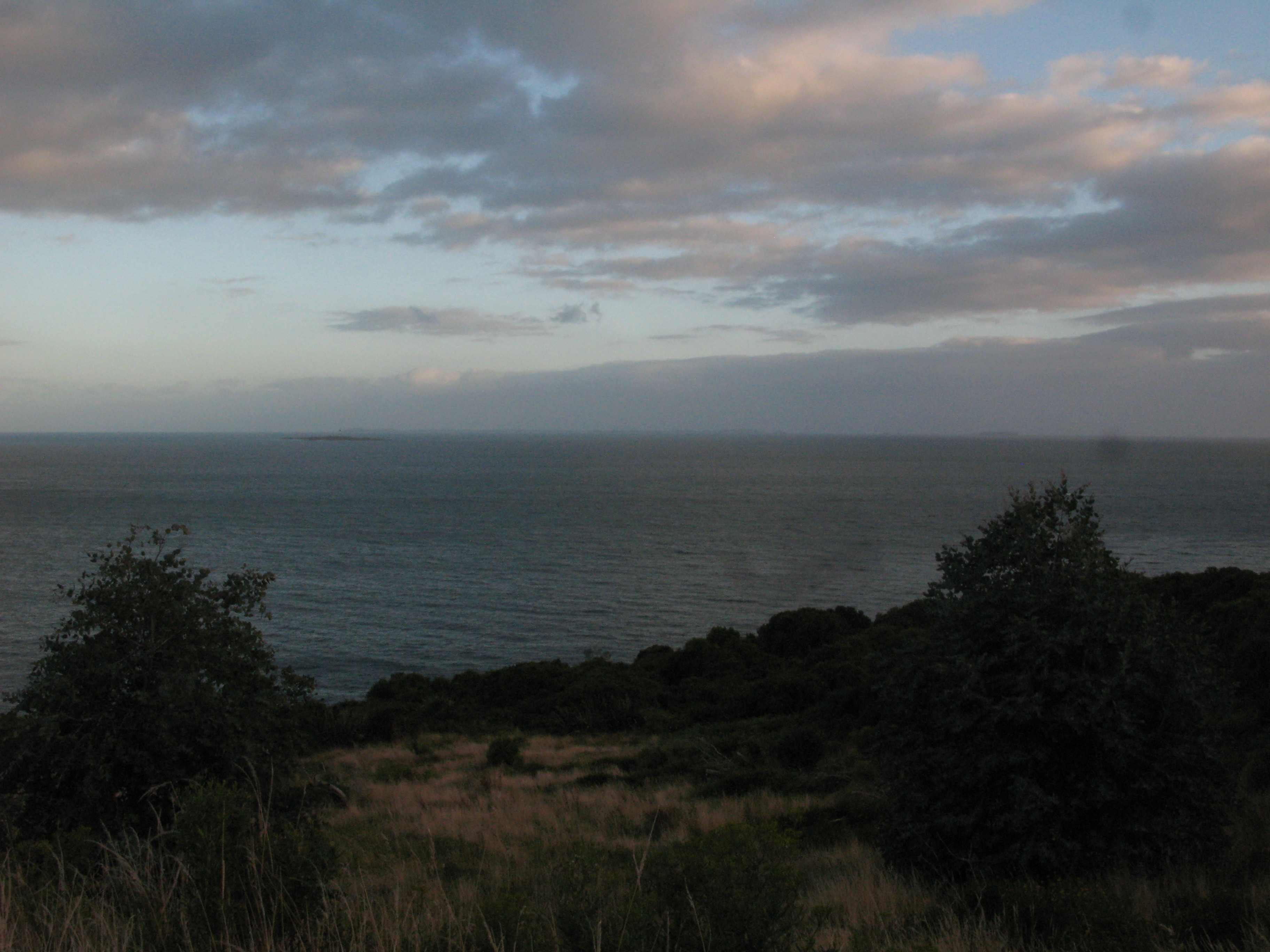
| Up above Stirling Point. Dog Island is visible at left. |
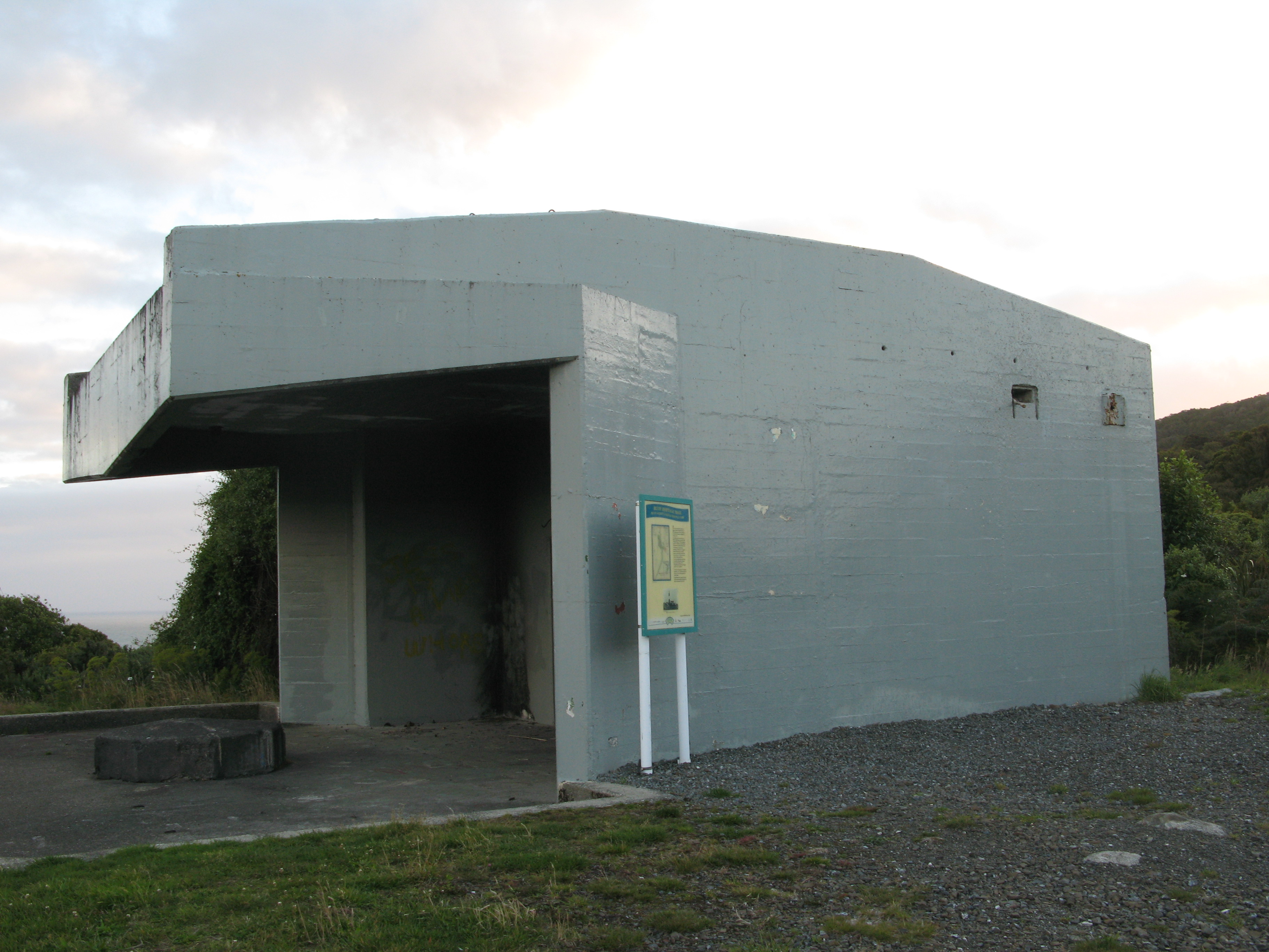
| Bunker. |
| Sunlight on a building across the Harbour. |
| The Bluff Hill coastal defence battery (decommissioned 1944). |
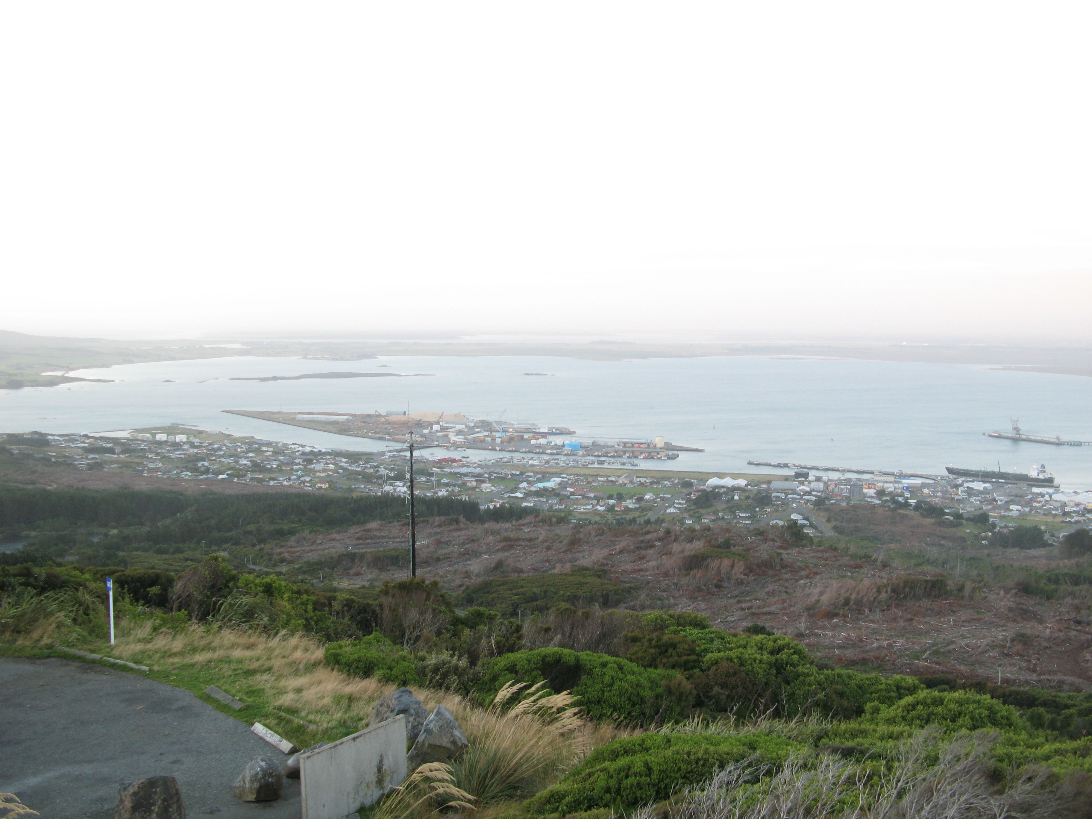
| Bluff from Bluff Hill. |
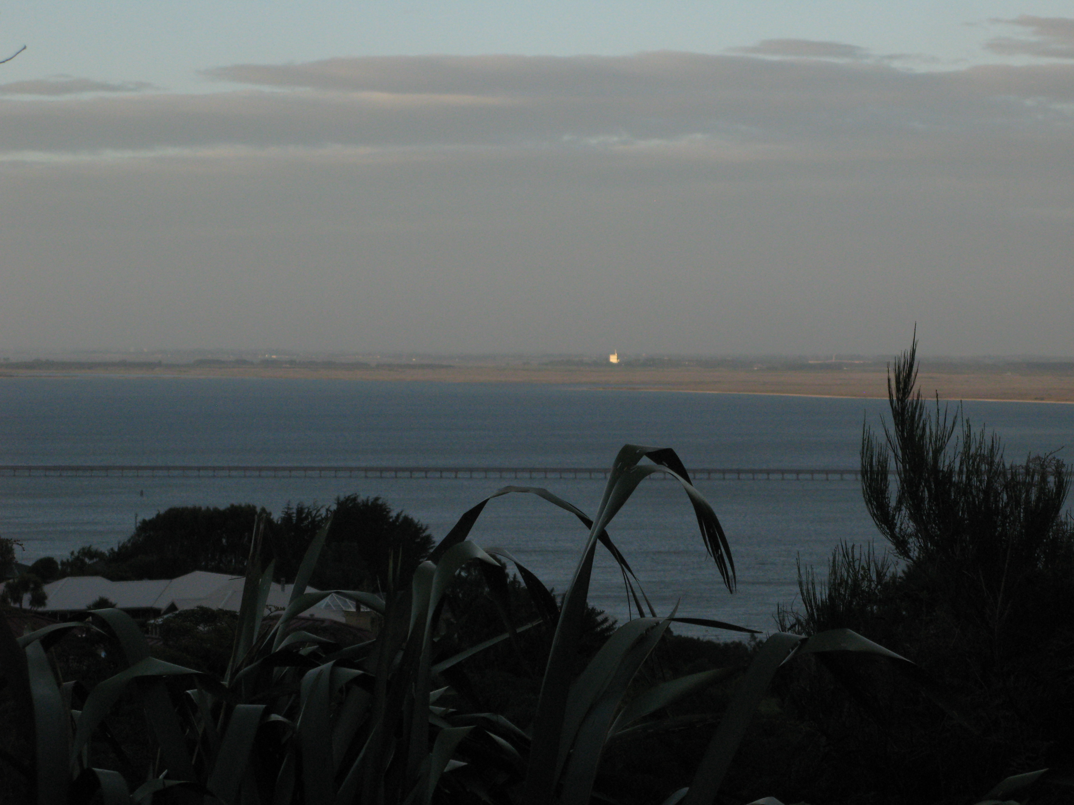
| The isthmus back to Invercargill from Bluff Hill. |
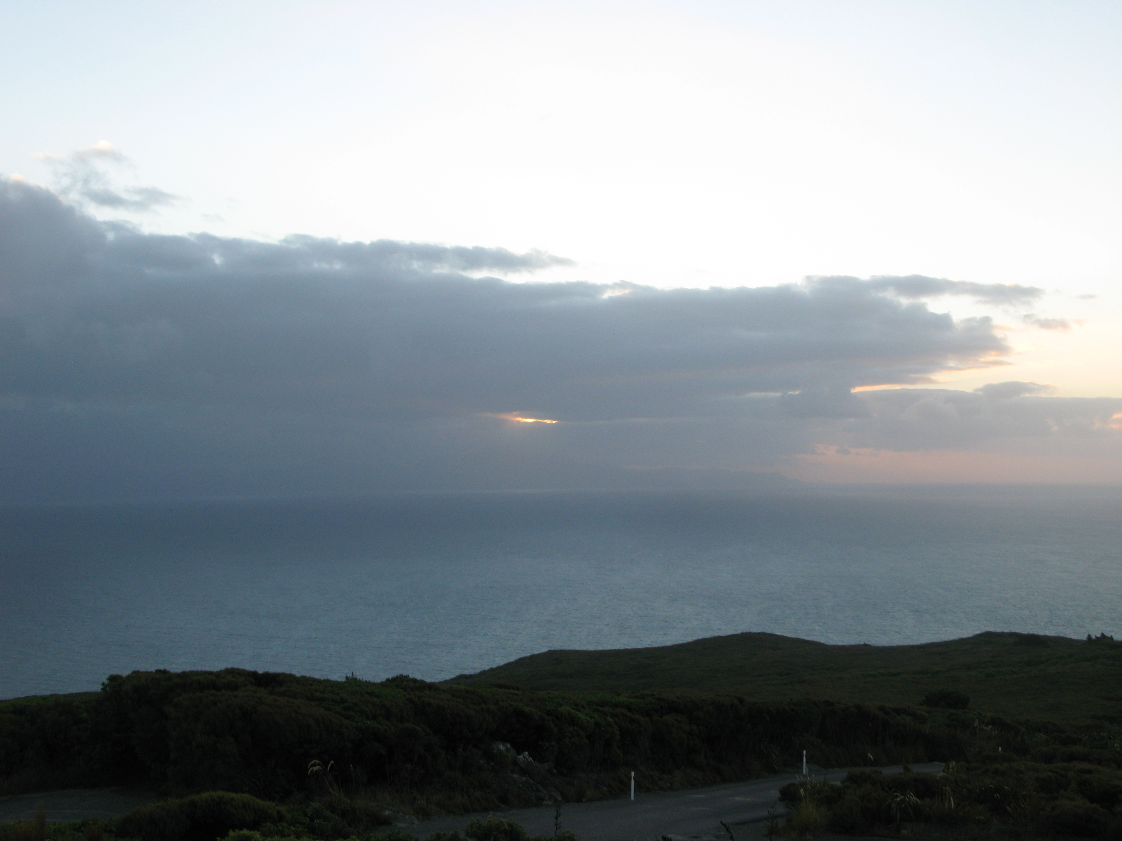
| I was hoping to catch the sunset from the top of the hill. This rain over Stewart Island (which you can just make out) thwarted me. |
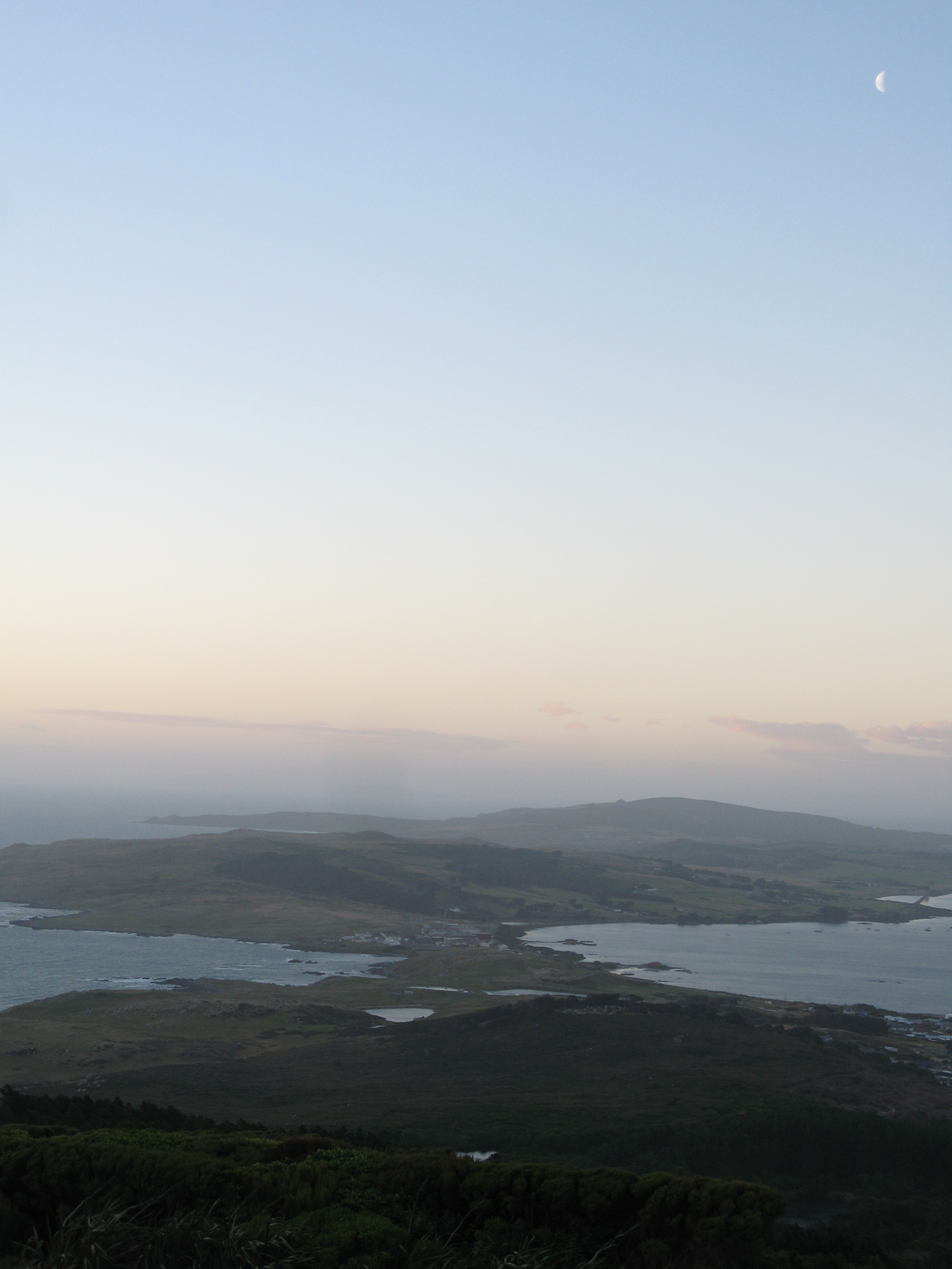
| The isthmus, again. Now with moon. |
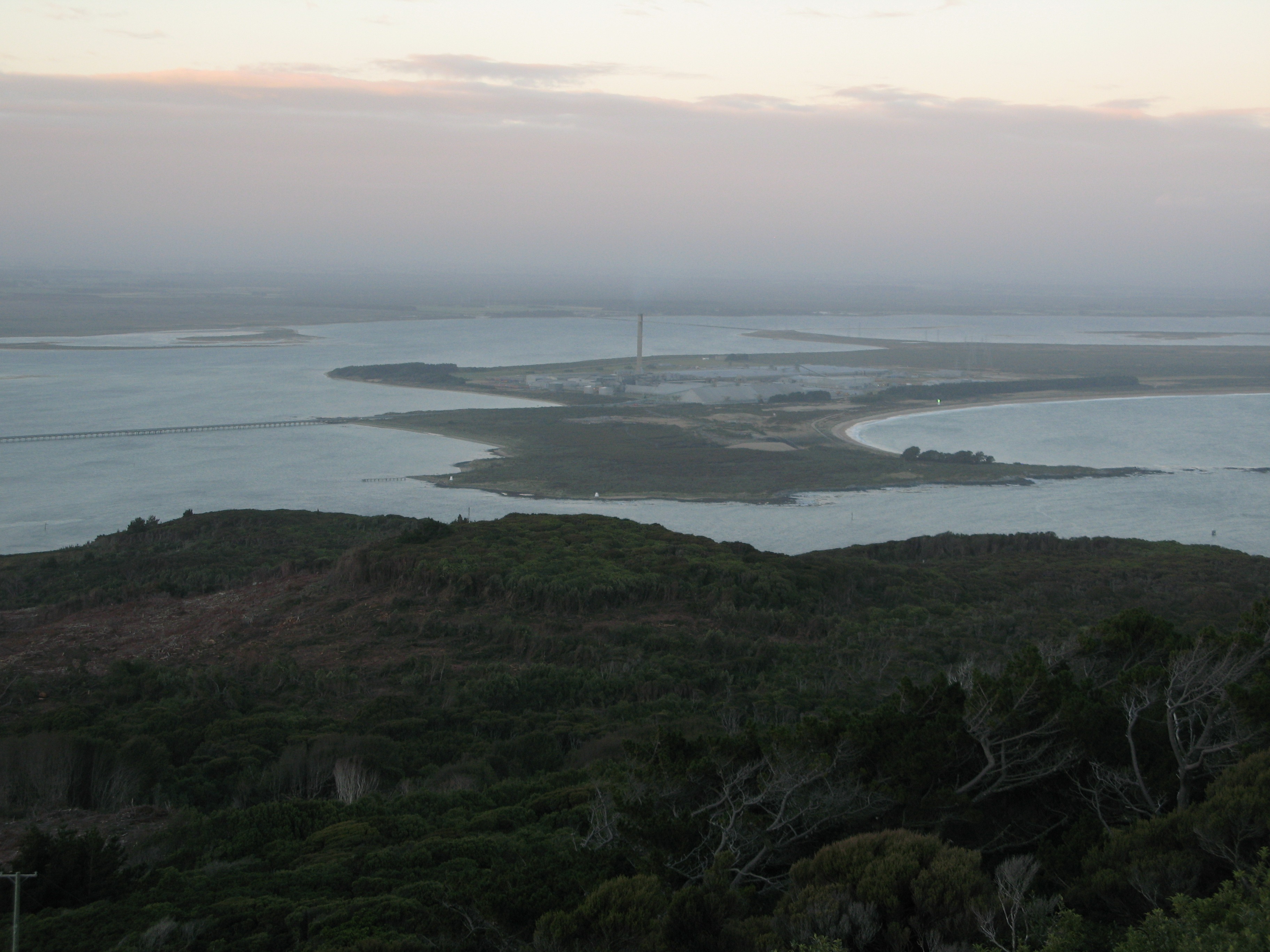
| The aluminium smelter, on the other side of the channel on Tiwai Point. |
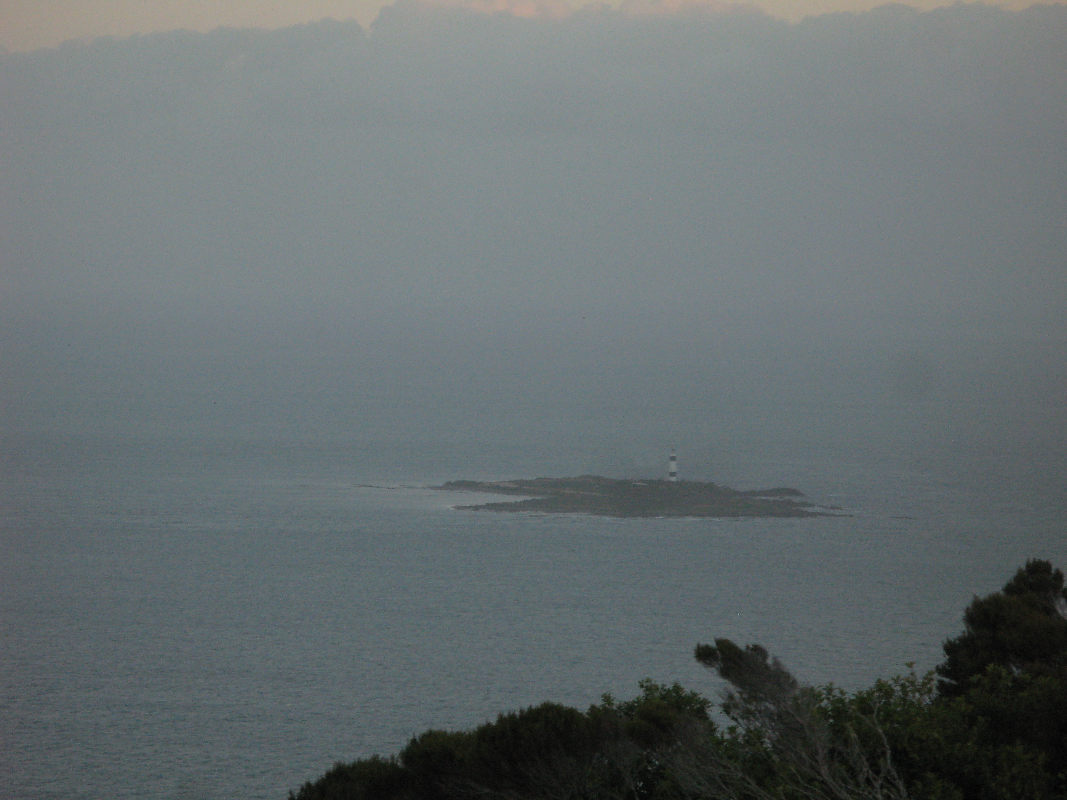
| Dog Island lighthouse, the tallest in New Zealand. |
| Coming back down the Hill back into Bluff. |