


| A picture of Matt on the container at 150 meters which was taken by the star camera, transmitted though the air, received by the CSBF groundstation, and sent back to us as a webserver via ethernet. |
| A better picture of the same, which hasn't been transmitted through anything. |
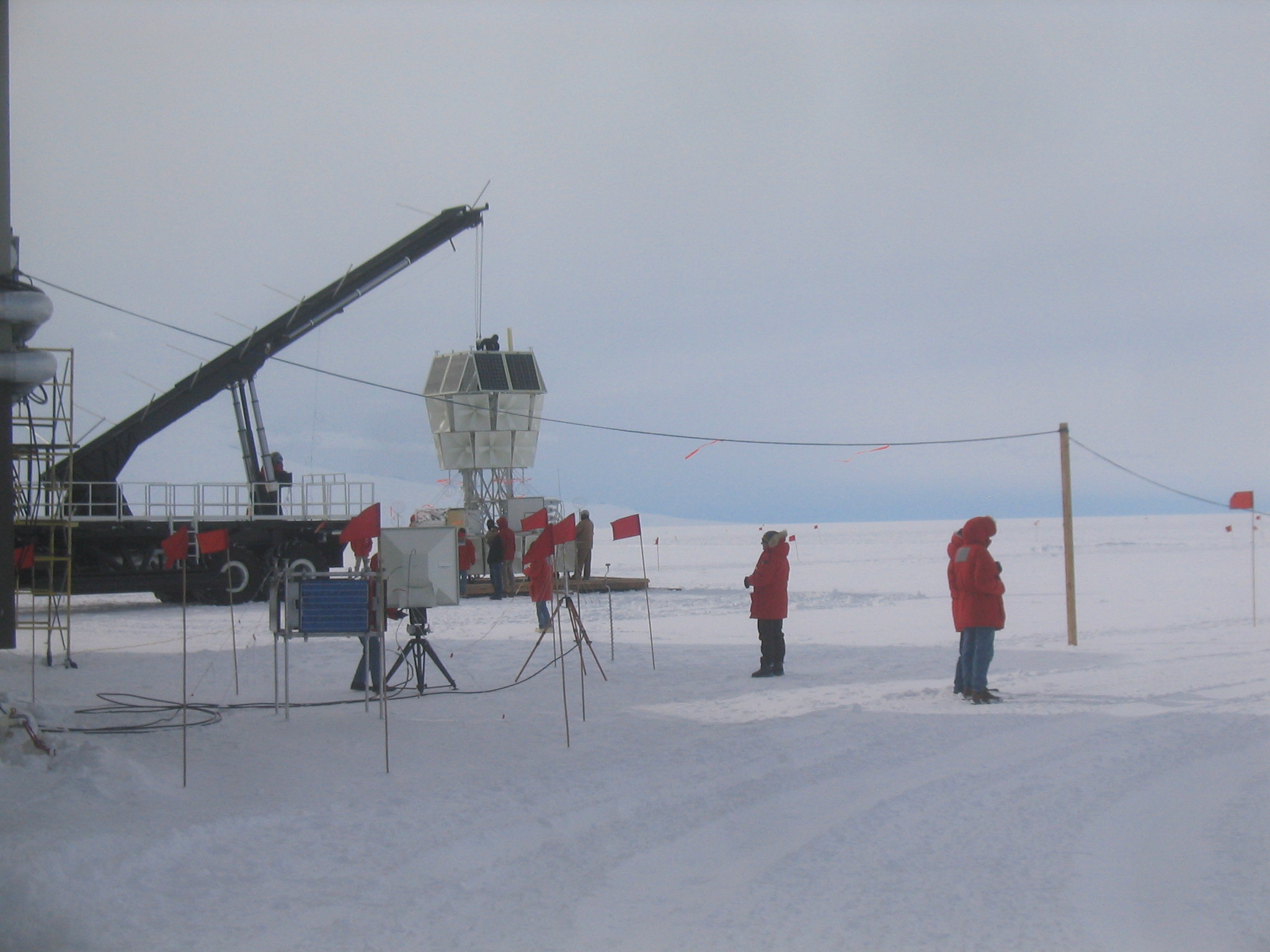
| Setting up the X-Y stage at 150 meters. |
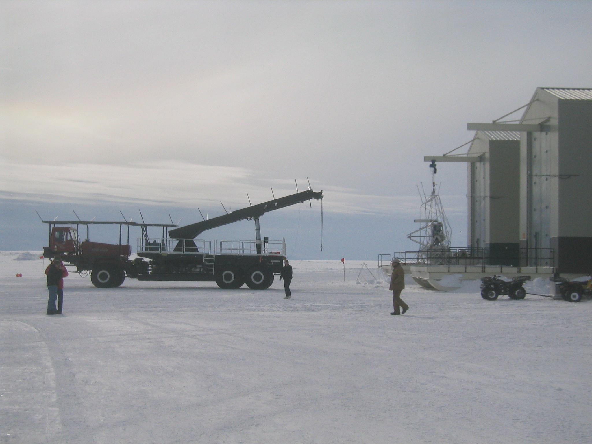
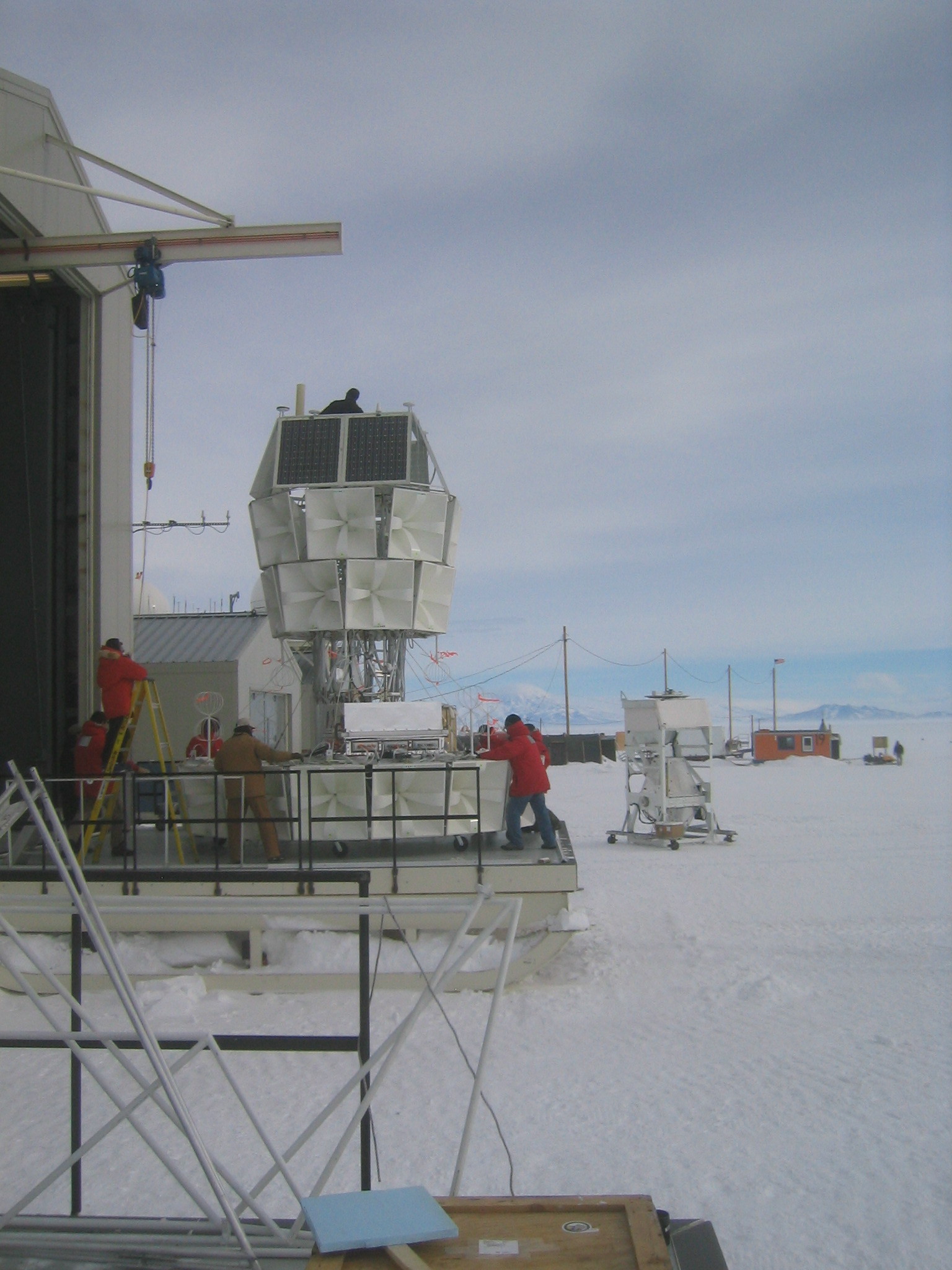
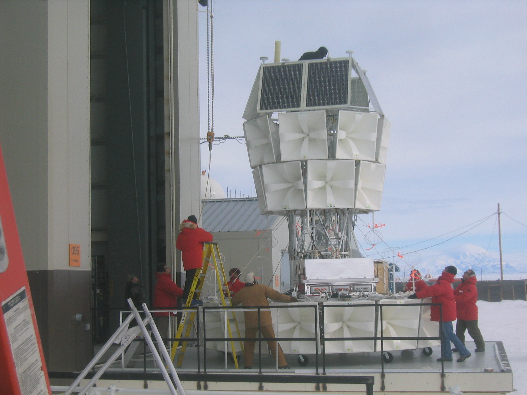
| The Boss ready to pick up ANITA. |
| The Boss and BLAST. |
| A very large ANITA receiver on a very small (but beefy) tripod. |
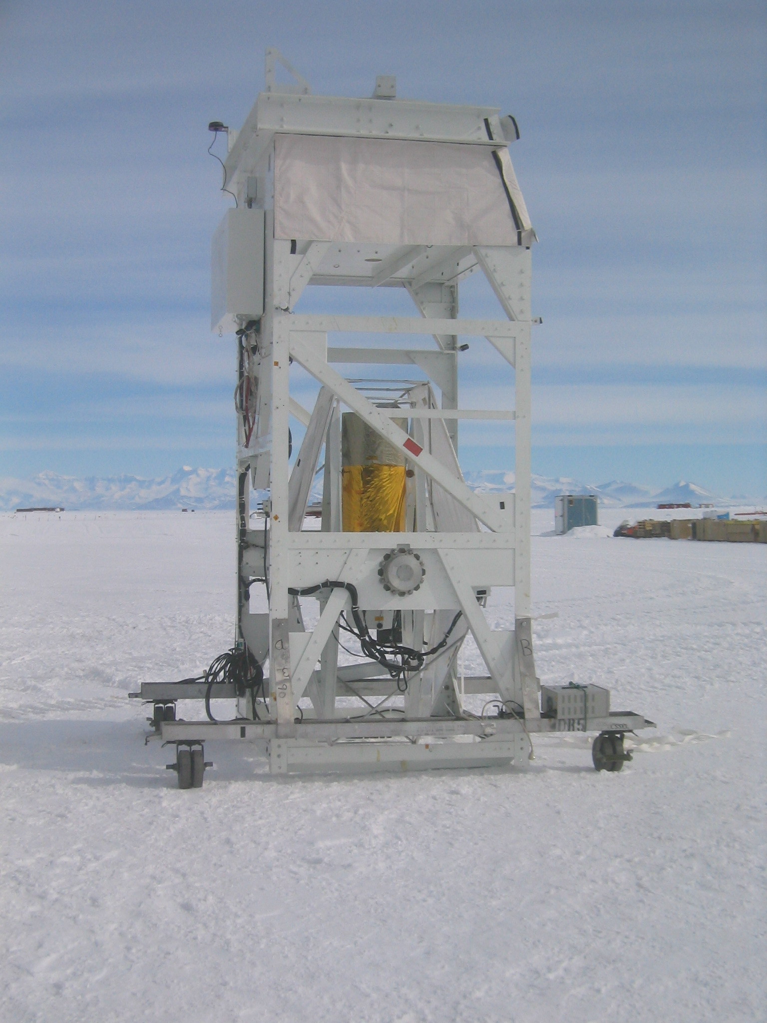
| ANITA outside for some tests. |
| SBI waits on the snow. They had to remove SBI first to get ANITA, which was behind it, out of the bay. |
| Getting ready to put SBI back. |
| Pushing ANITA back inside. |
| Pushing ANITA back inside. |
| Lifting SBI back up to put it inside as well. |
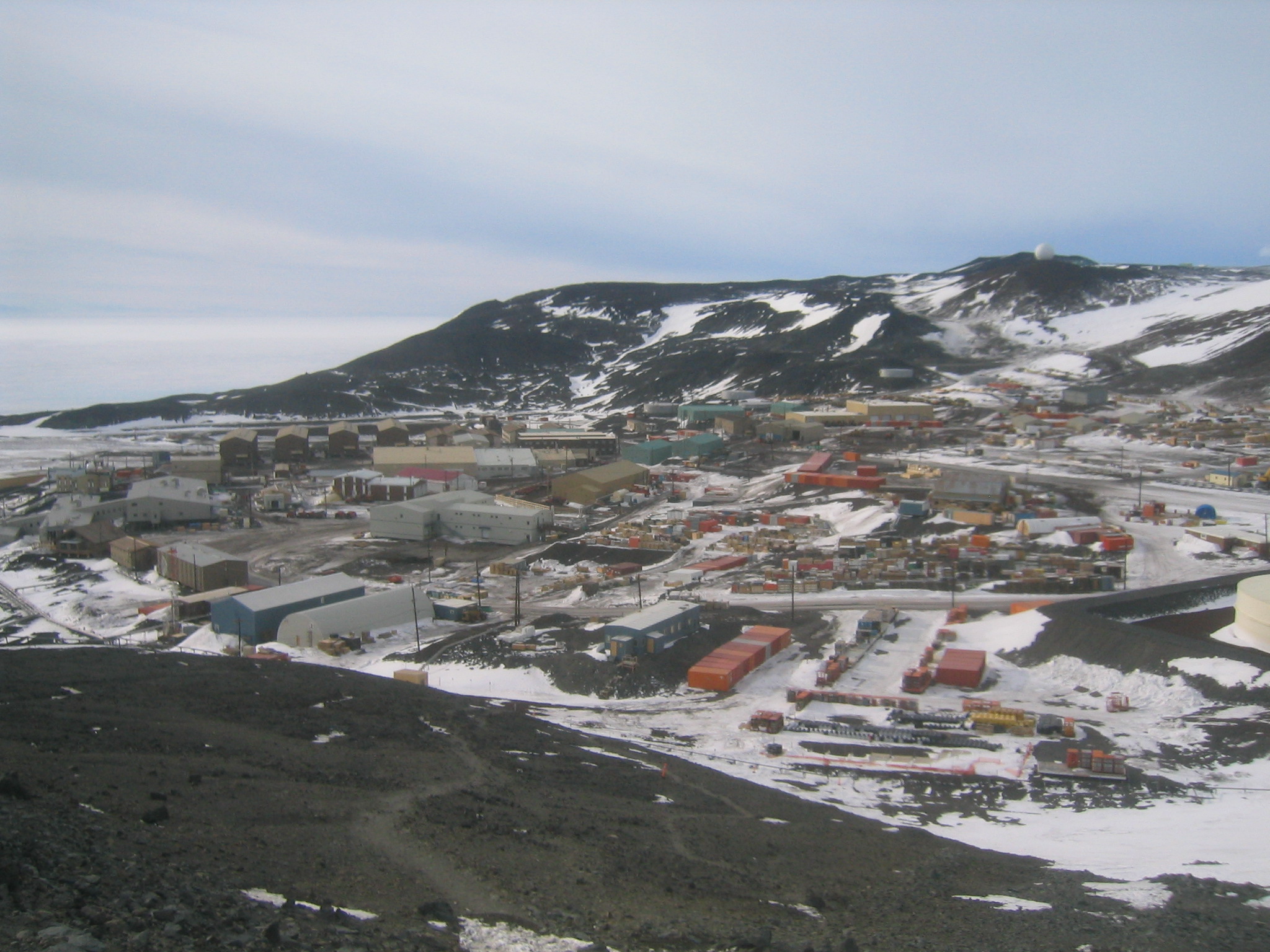
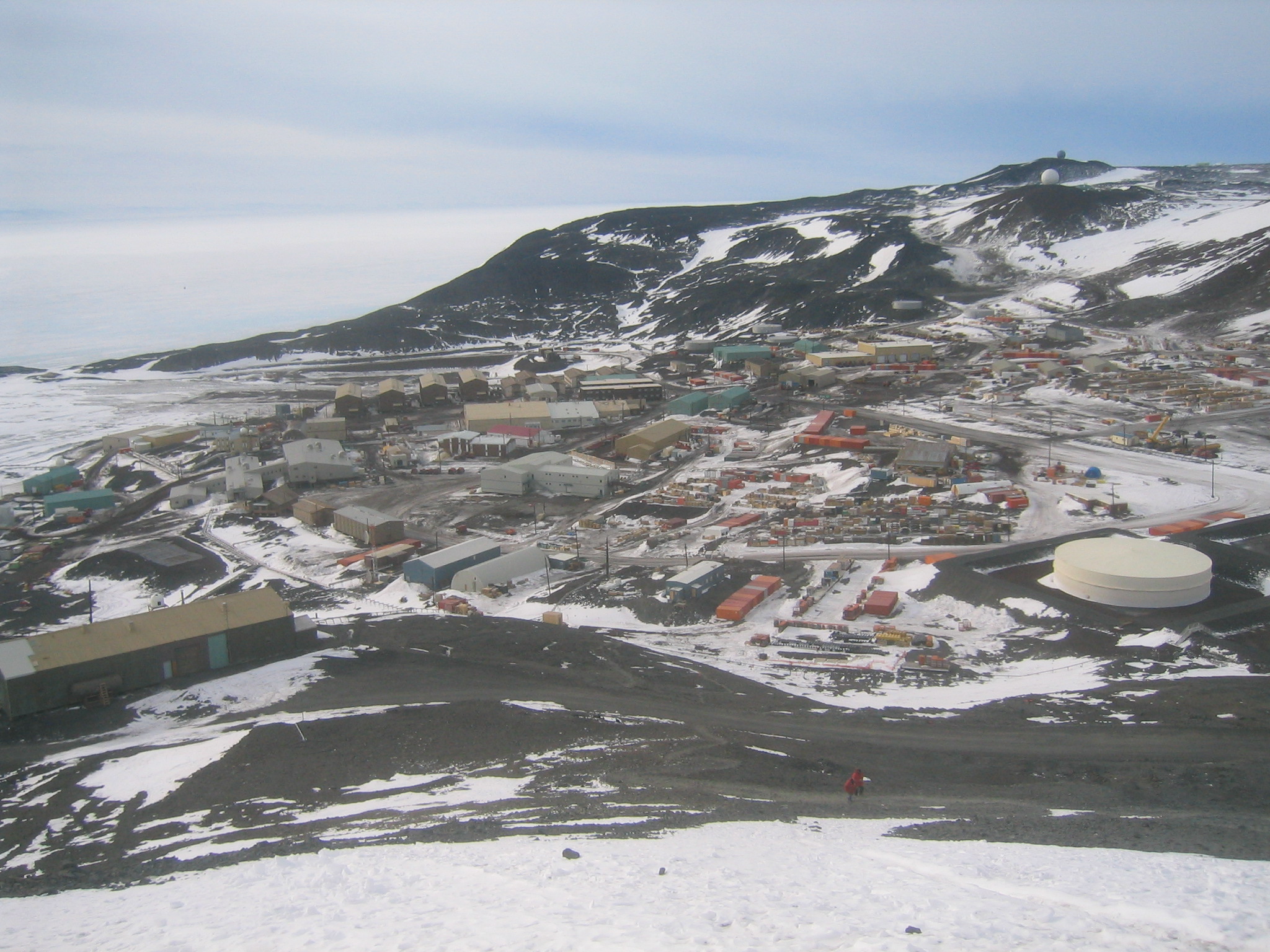
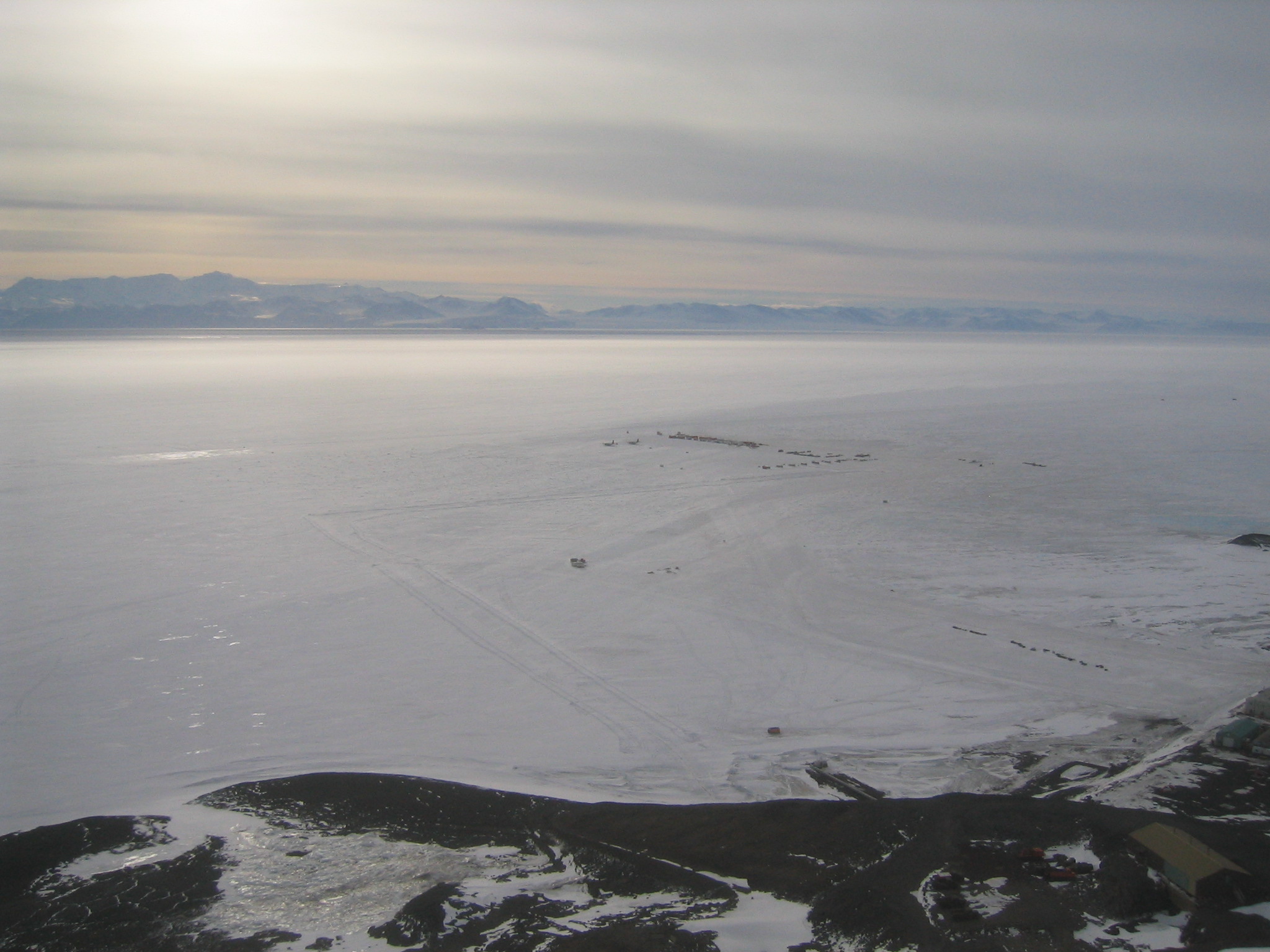
| McMurdo from above. |
| The same, further up the hill. |
| A LC-130 takes off from the ice runway. |
| Further up still. |
| The ice runway. |
| Looking over the Fortress Rocks at Castle Rock, with Erebus behind it. |
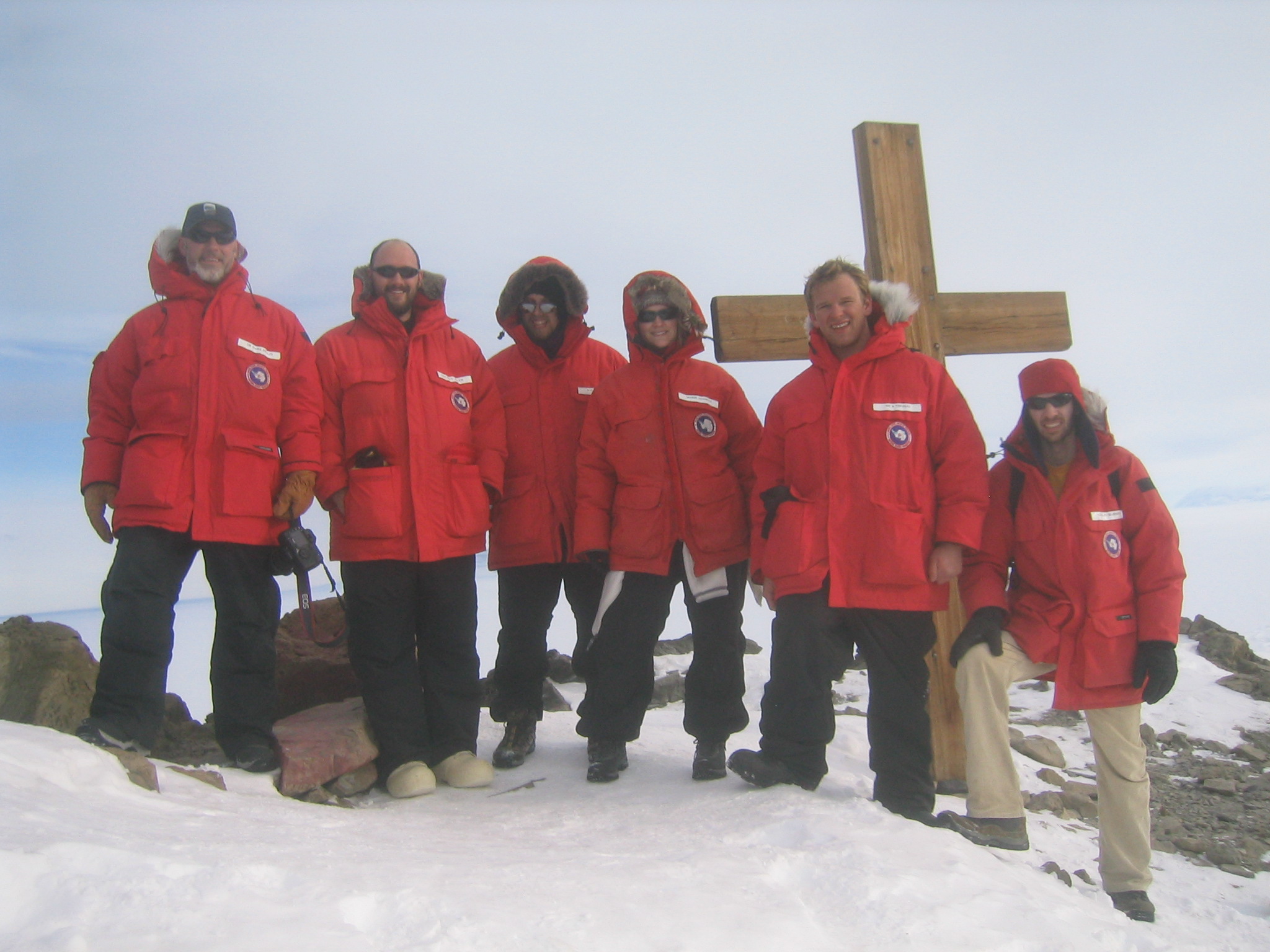
| Mark, Matt, me, Marie, Nick and Gaelen at the top of Ob Hill, next to Scott's Cross. |
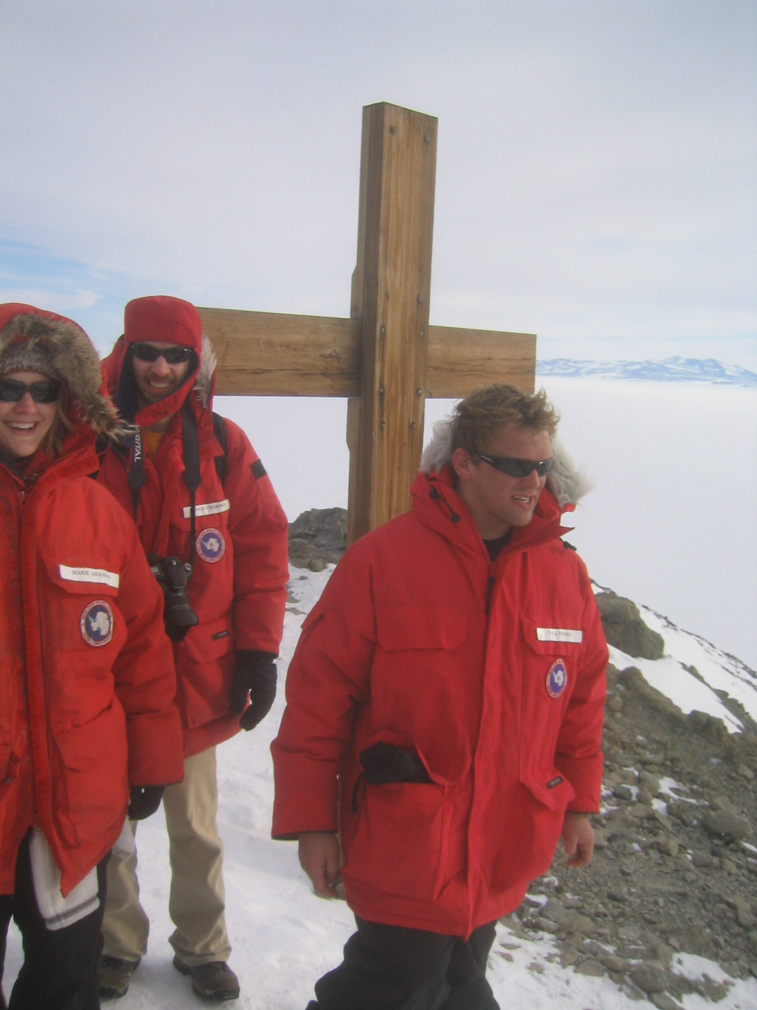
| Marie, Gaelen, Nick and the cross. |
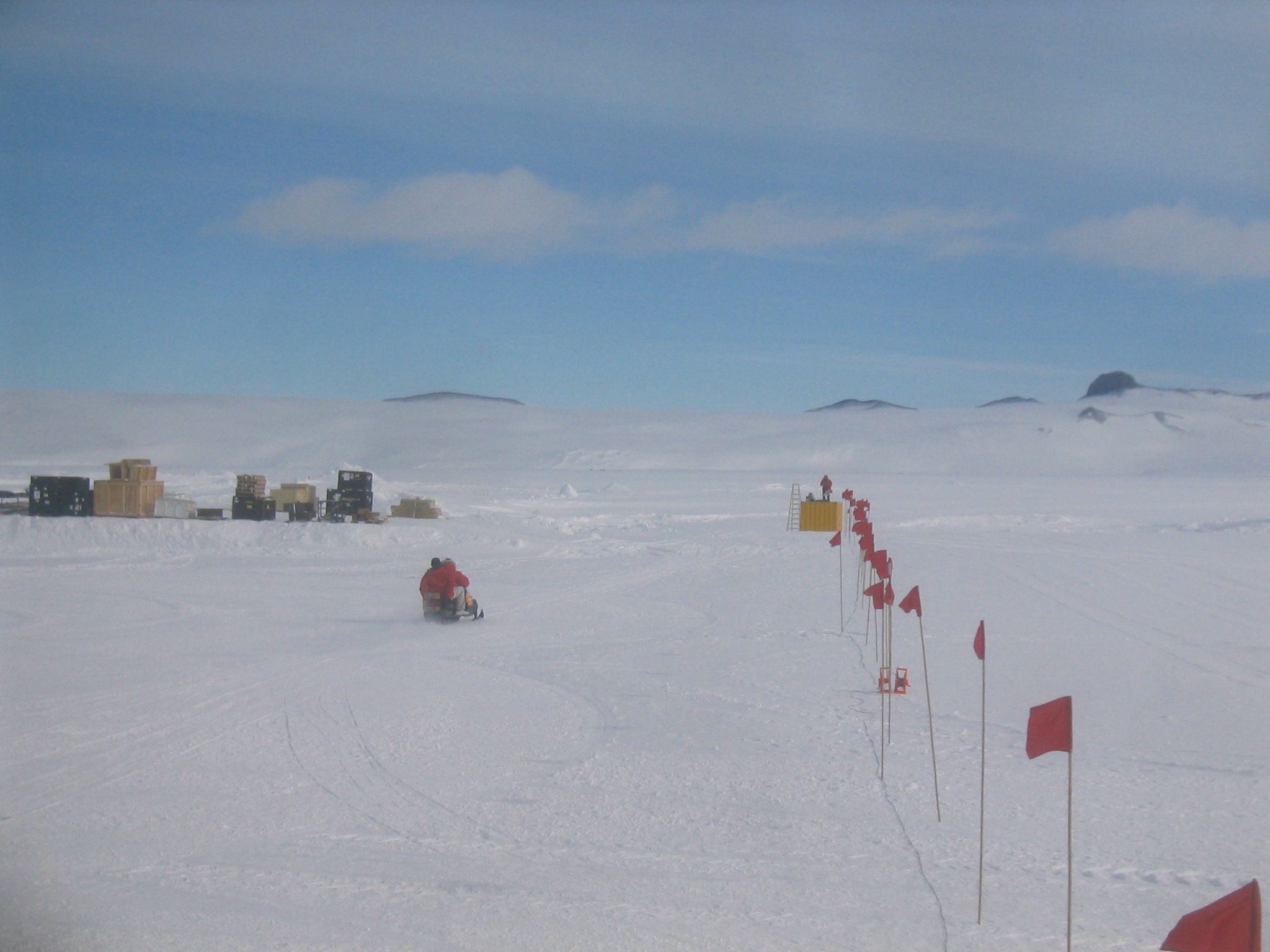
| Looking out towards the LDB camp at Willy Field. Scott Base is at left. |
| |
| (13574x1287, 9033.73 kb) The view from the top of Observation Hill. The cut is northeastward, in the middle of Mount Terror. There are two roads at left, the lower one is the Scott Base Road. The upper one heads to the T-Site, which can be seen at right. Scott Base, on Pram Point, can bee seen just in front of the pressure ridges. In the distance is the LDB Camp at Willy Field. Another road down the hill to the ice can bee seen directly below LDB Camp. This road is closed and of unknown use. On the horizon across the ice are White Island, Minna Bluff, Black Island, Mount Discovery, Brown Peninsula and then the Royal Society Range. The ice runway is below and all of McMurdo Station can be seen to the right. Above McMurdo is Hut Point. To the right of Hut Point is Arrival Heights, with White Dome (in front) and Grey Dome (behind). Beyond Grey Dome is Tent Island and Inaccessible Island. Castle Rock is prominent at right, with Erebus behind it. At far right is the T-Site (where T stands for Transmitter), on top of Fortress Rocks, with Crater Hill behind it. The transmitters on the T-Site communicate with the satellite uplink on Black Island to provide all communication to and from McMurdo. | |
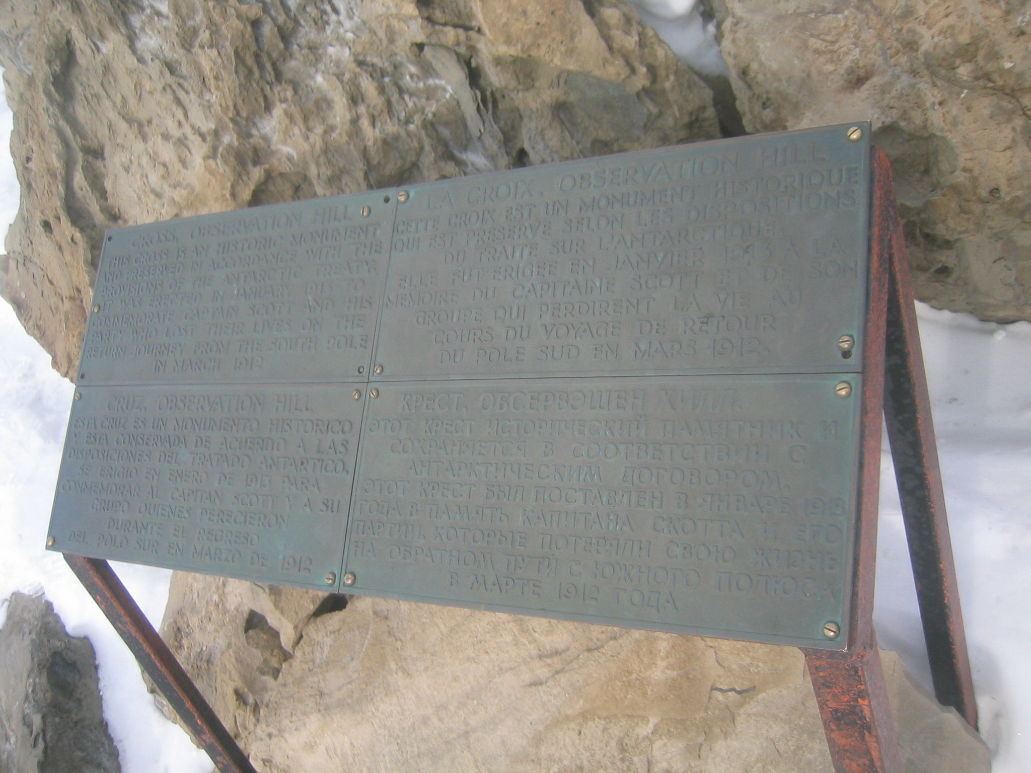
| The plaque at the top of Ob Hill. |
| What Gaelen would look like if he were a 1930s newspaper photographer. |