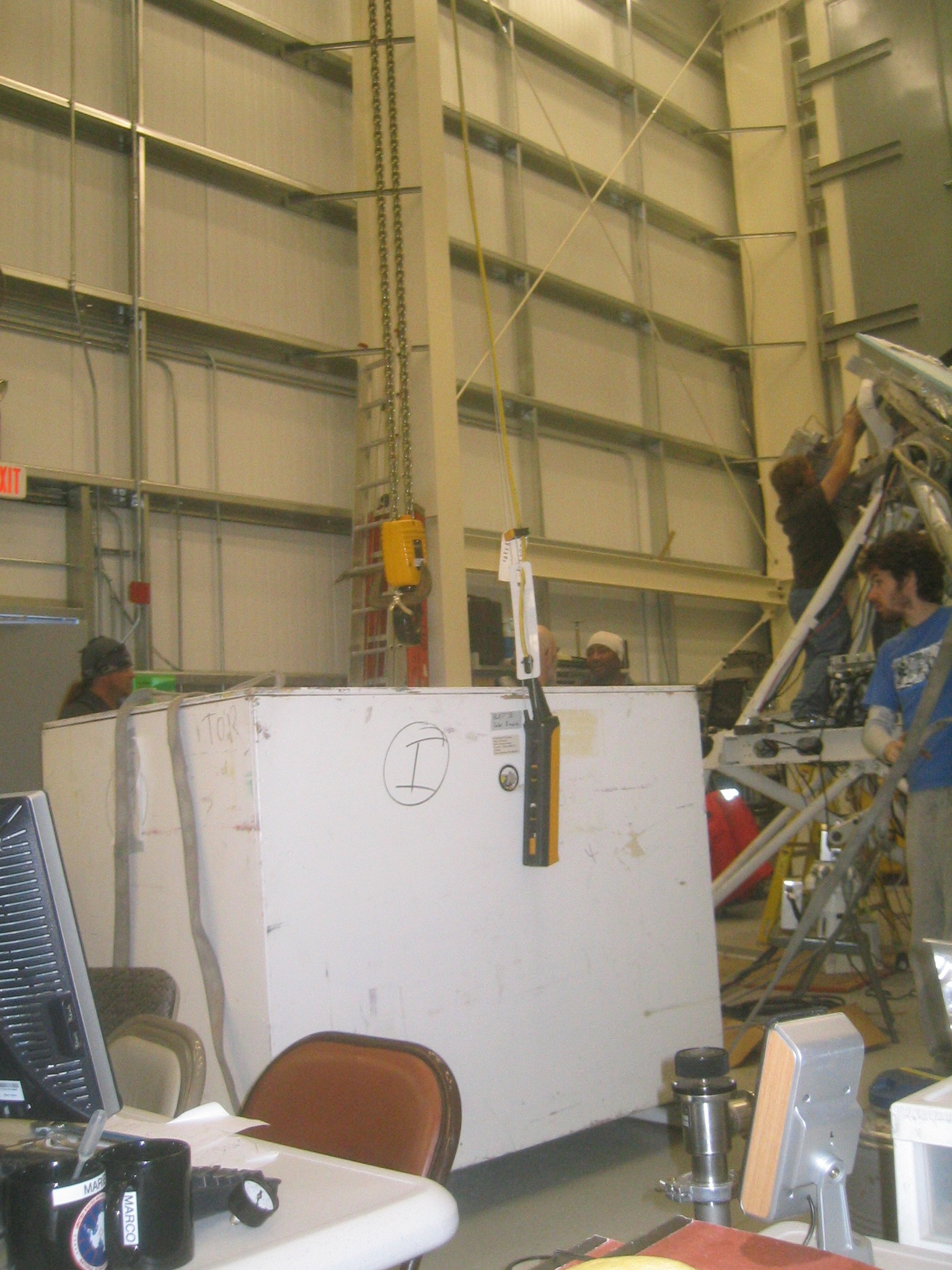
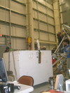
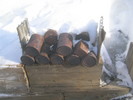
 | Lowering the solar panel crate. |
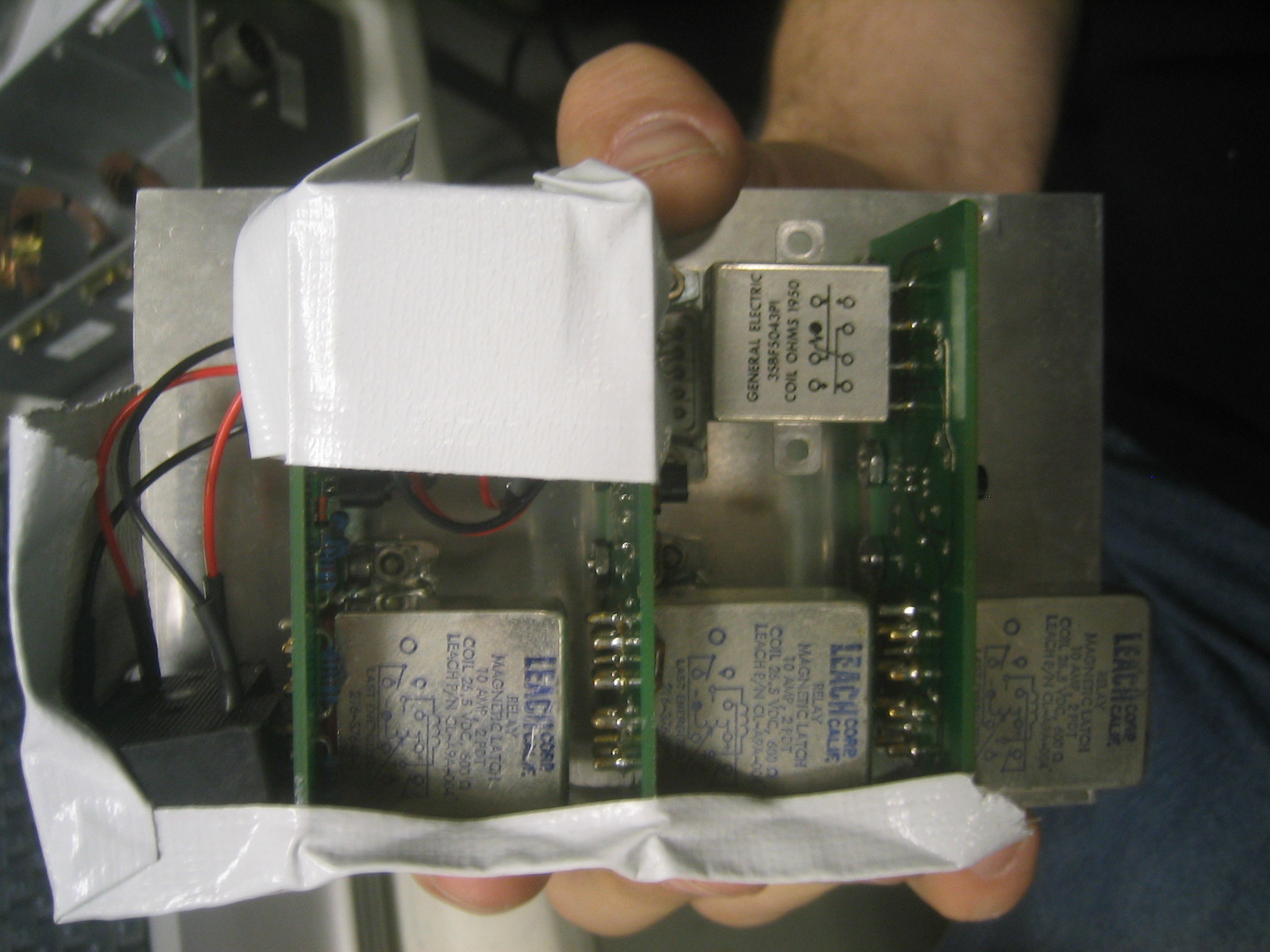
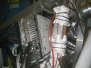
 | Matt's white tape based mounting scheme for some relays in the Motorised Valve Box. |
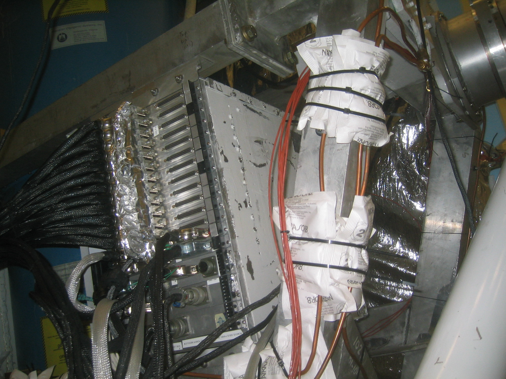
 | The DAS. Note the vibration dampening dessicant pads around the plumbing. |
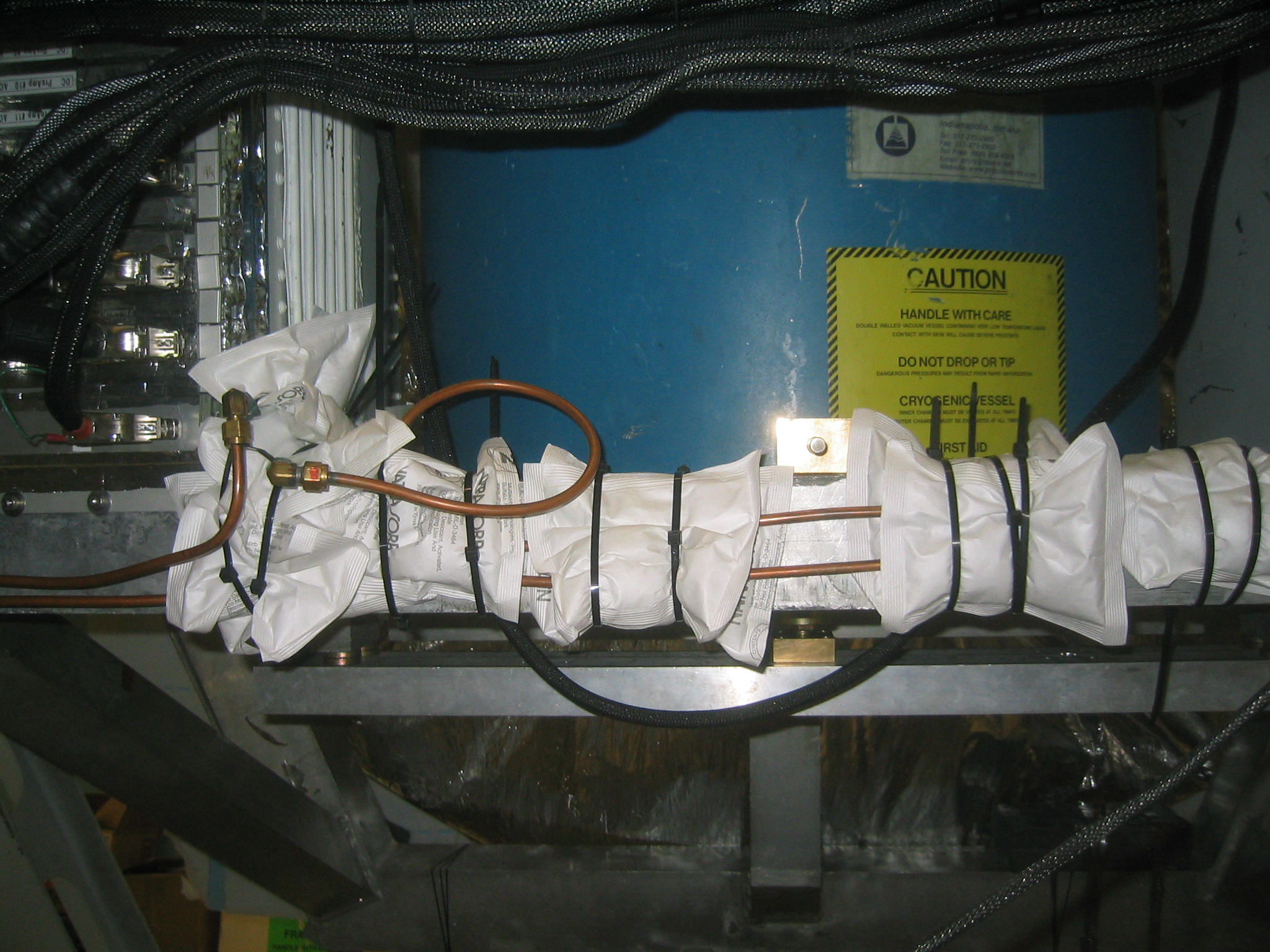
 | More virbration dampening dessicant. |
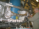
 | The Receiver. |
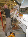
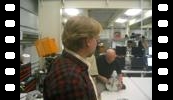
 | Marie opens up the ISC again. |
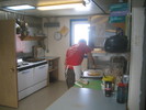 | Matt the Cook makes us pizza for lunch. |
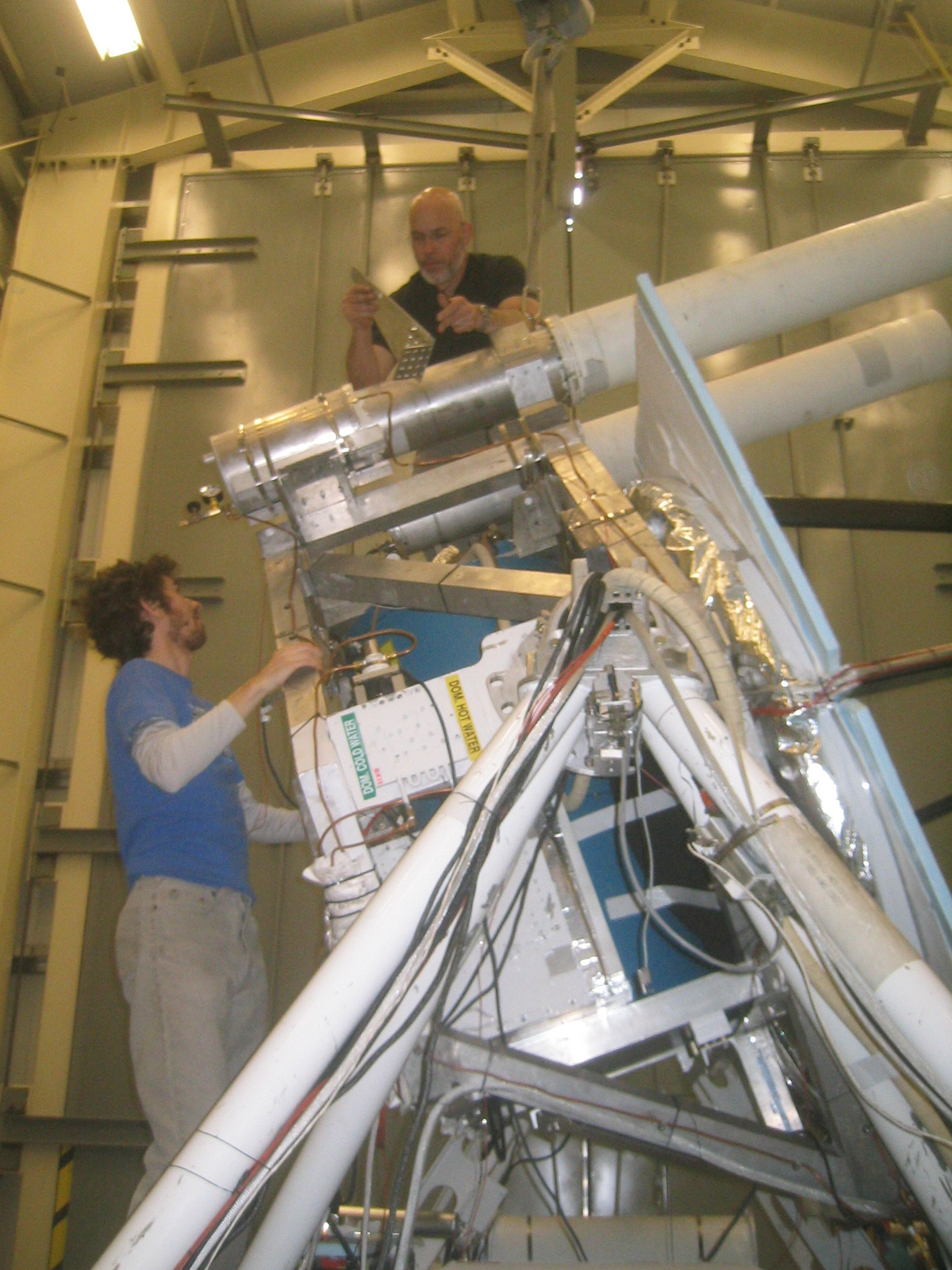
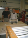
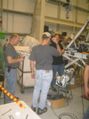
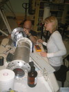 | Marie and Mark examine the ISC. |
 | The SIP in place. |
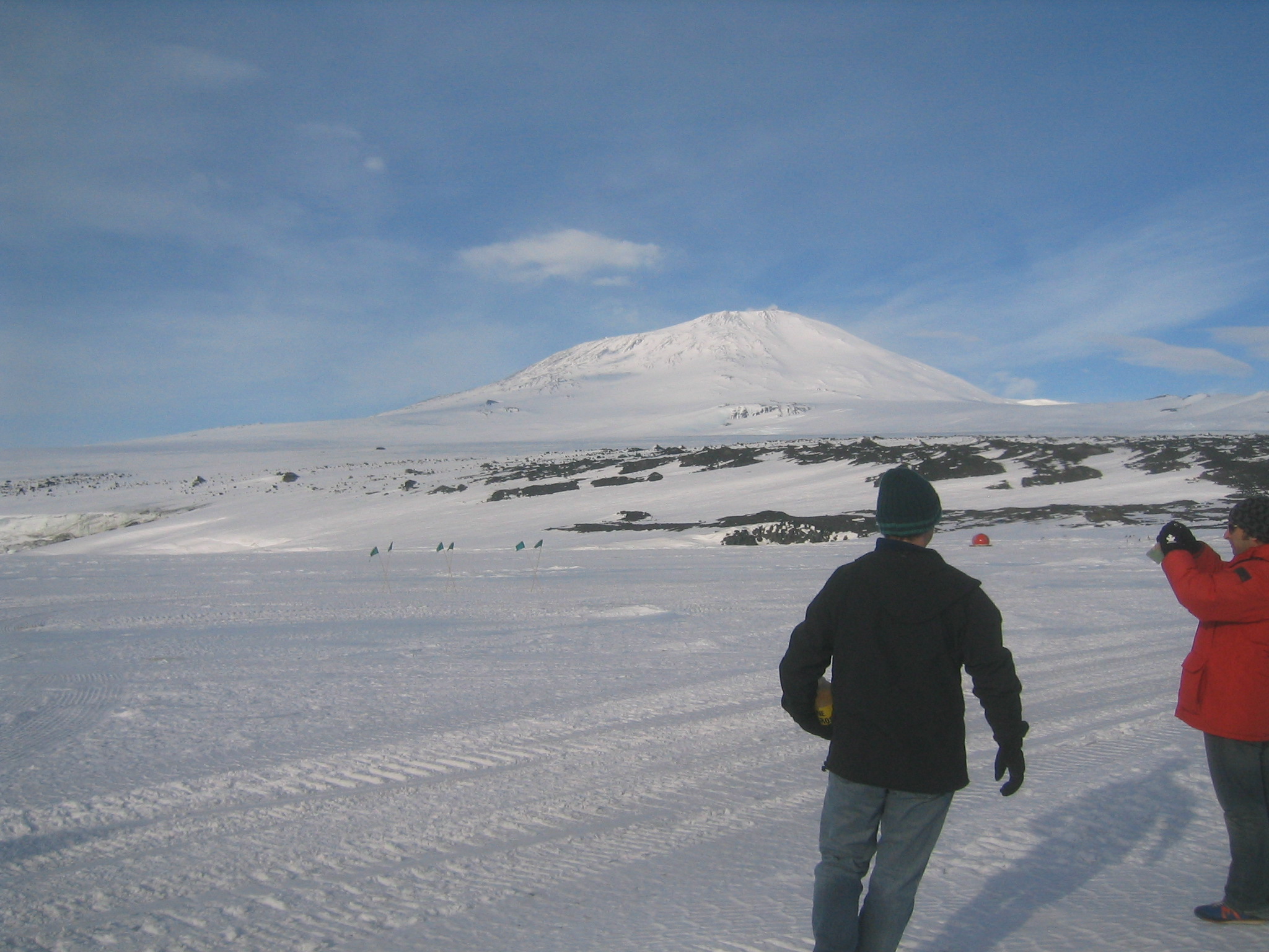
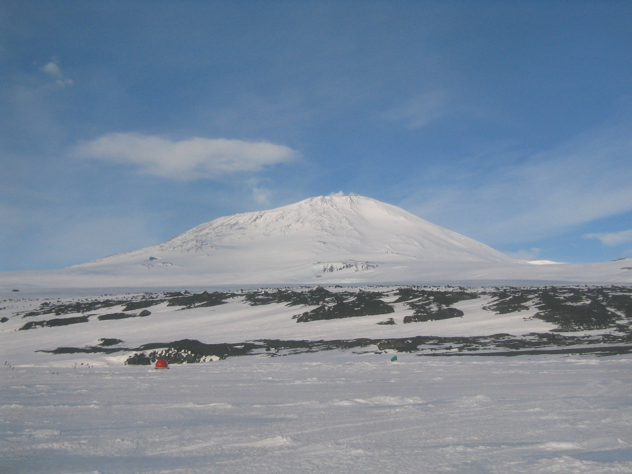
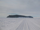
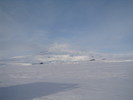
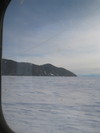
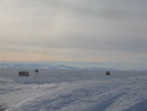
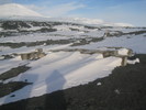
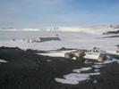
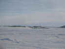
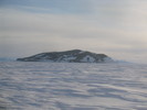
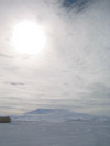 | Erebus under the clouds. |
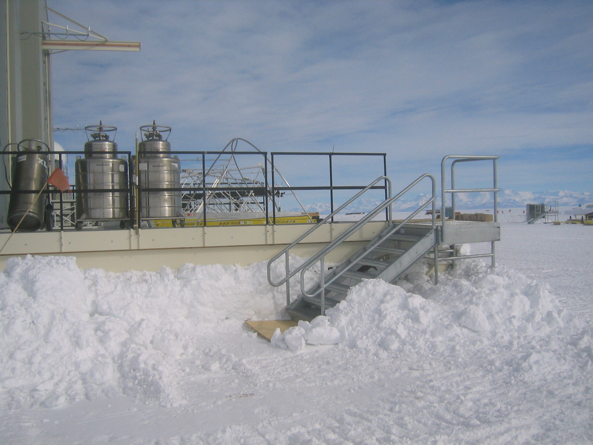
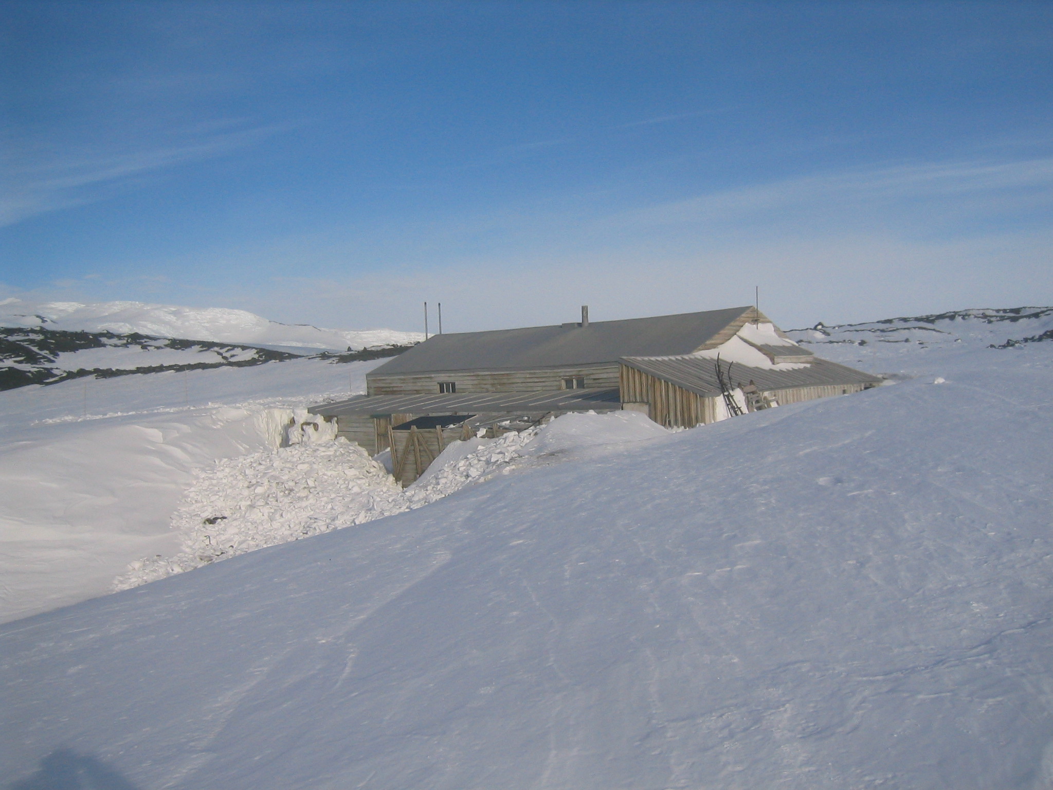
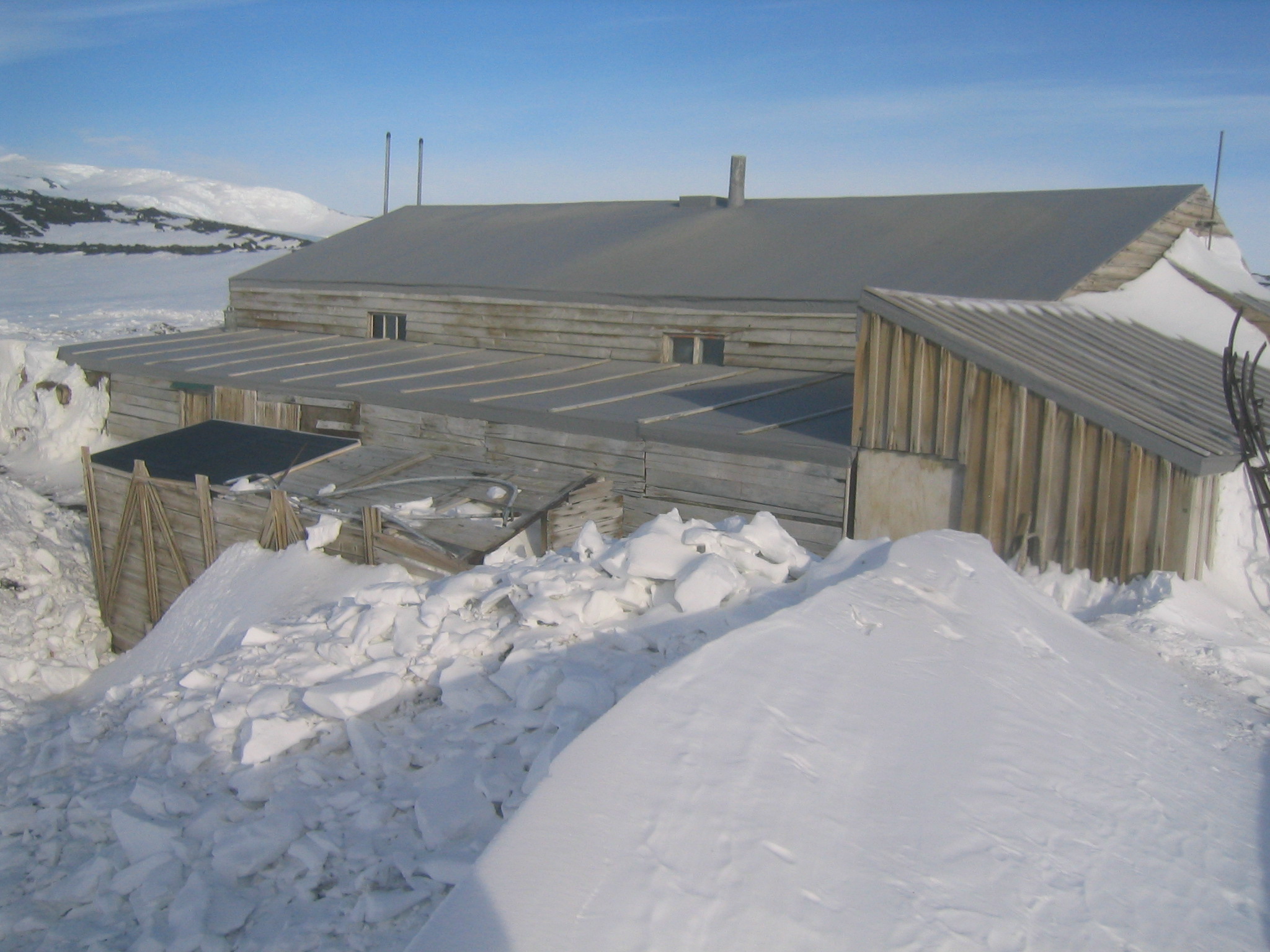
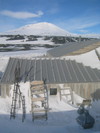
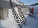
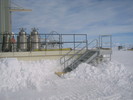 | The stairs up to our porch. |
 | Mark ties down the balance tank with some aircraft webbing. |
 | Extracting the solar panels. |
 | Marie hears a screw rattling around after re-assembling the ISC. |
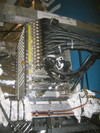
 | Enzo's RF shielding of the DAS-Receiver cables. |
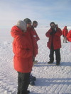
 | Barth takes a video of me... |
 | ... he was actually trying to take a picture. |
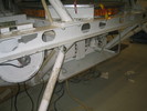
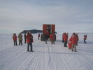
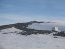
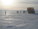
 | The CSBF guys test the pivot passthrough. |
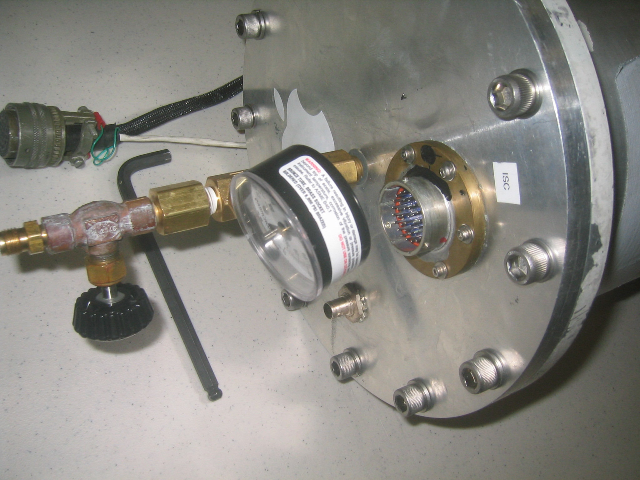
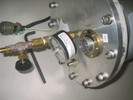 | The (temporary) pressure gague on the ISC is incoveniently located for plugging in the cables. |
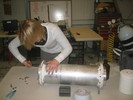
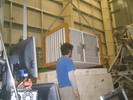
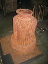
 | Weighing the ISC. |
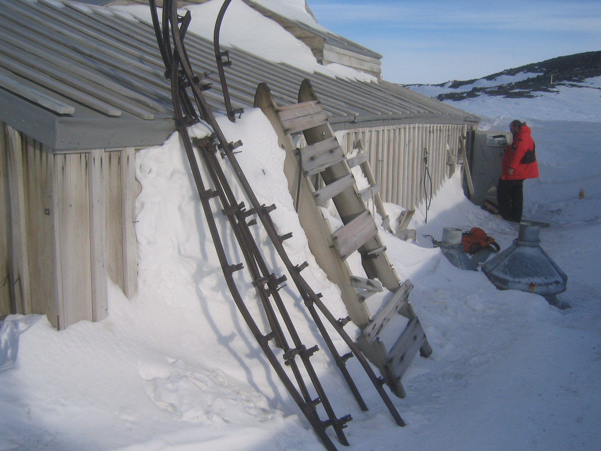
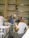
 | Mark mounts the ISC. |
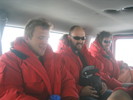 | Nick, Matt and Gaelen on the shuttle back to McMurdo. |
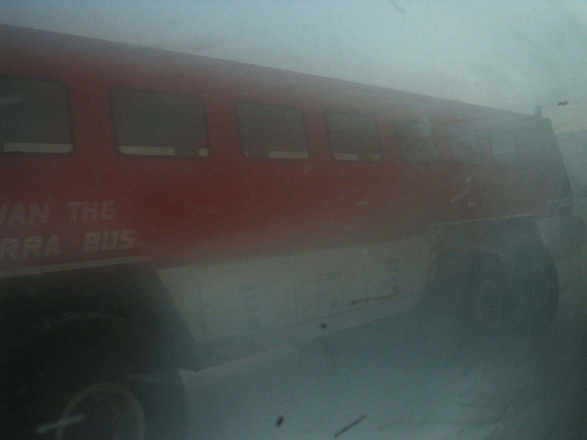
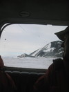
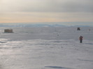
 | Ivan passes us heading out to LDB as we head in. The weather's fine, it's just the window of the shuttle that is foggy. |
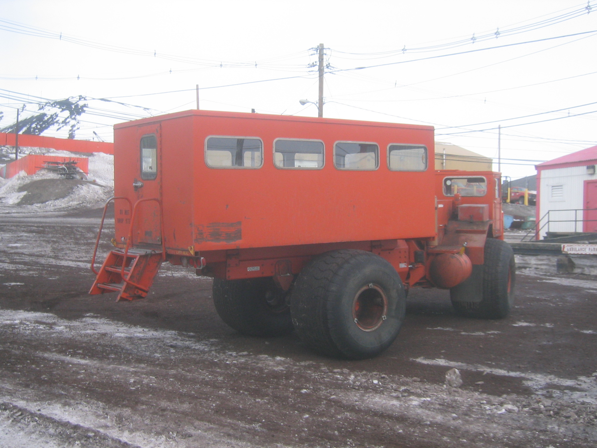
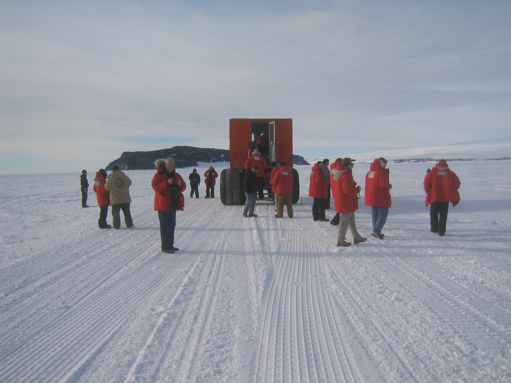
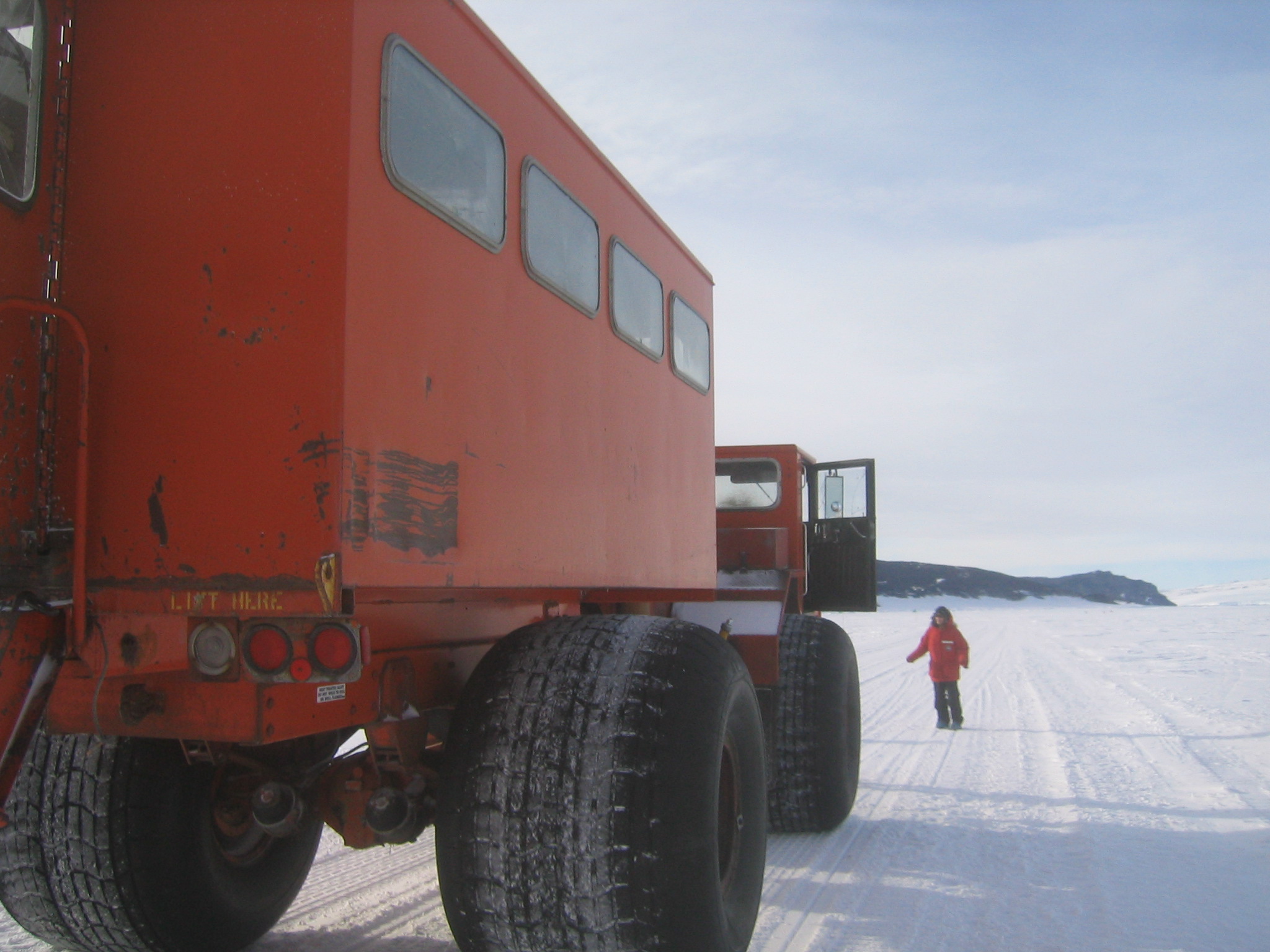
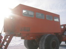
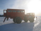
 | Our Delta for the trip to Cape Evans. |
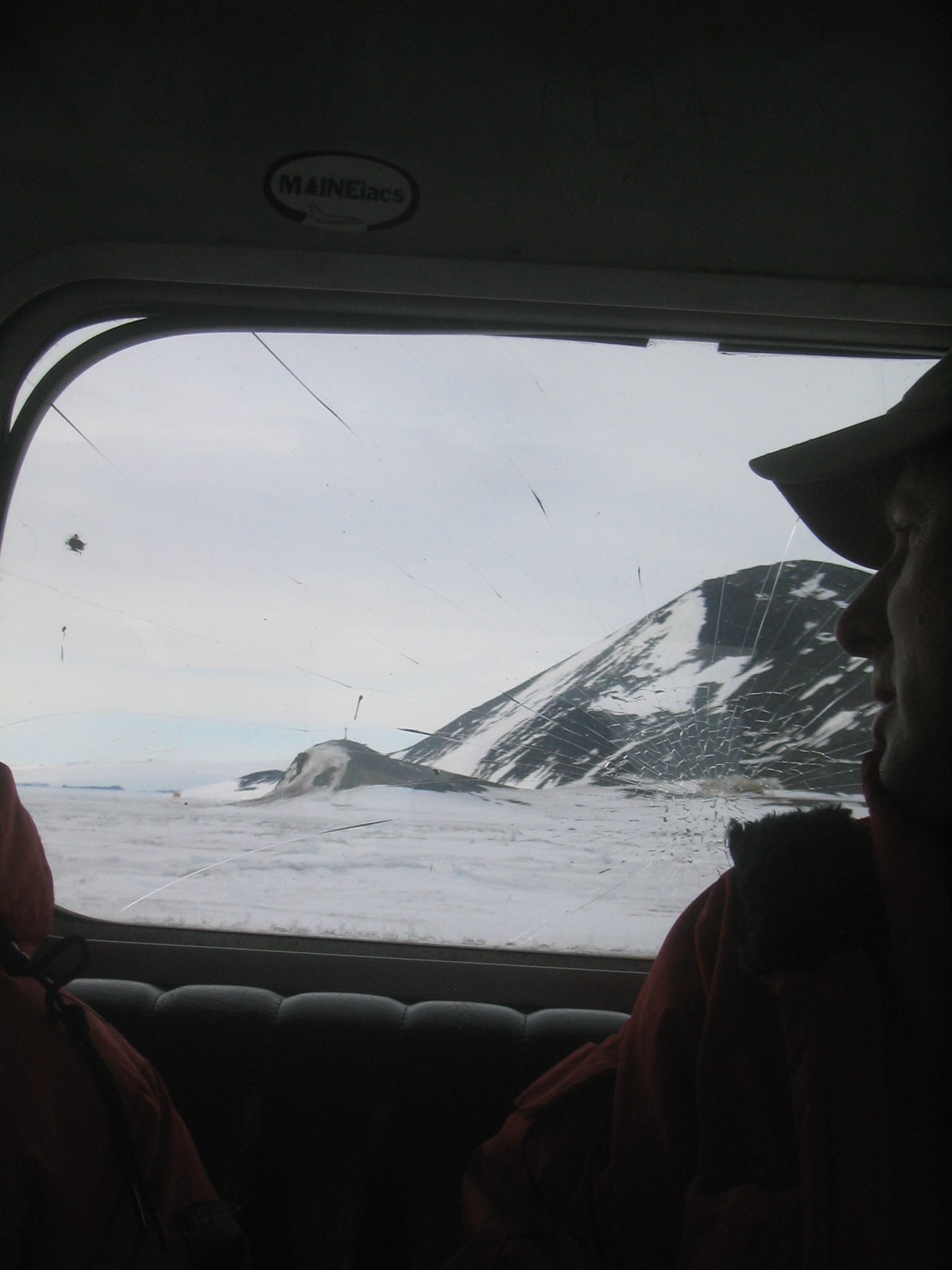
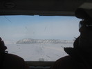
 | Looking out of the Delta's windows. Note the broken glass. Most of the panes of glass are cracked from previous passengers heads. The Delta can be a bumpy ride. |
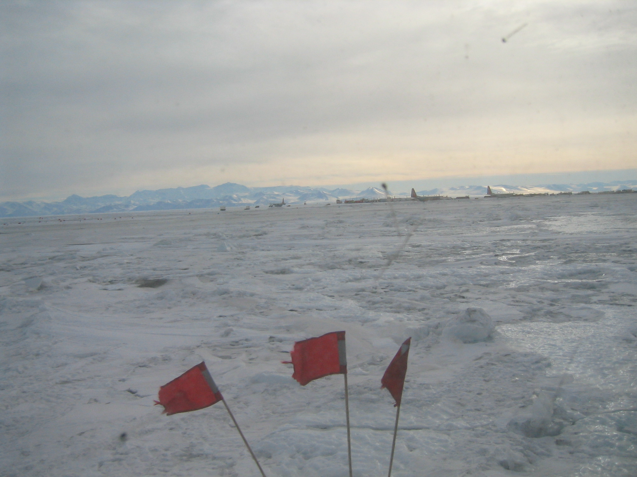
 | The Ice Runway with several LC-130s parked. |
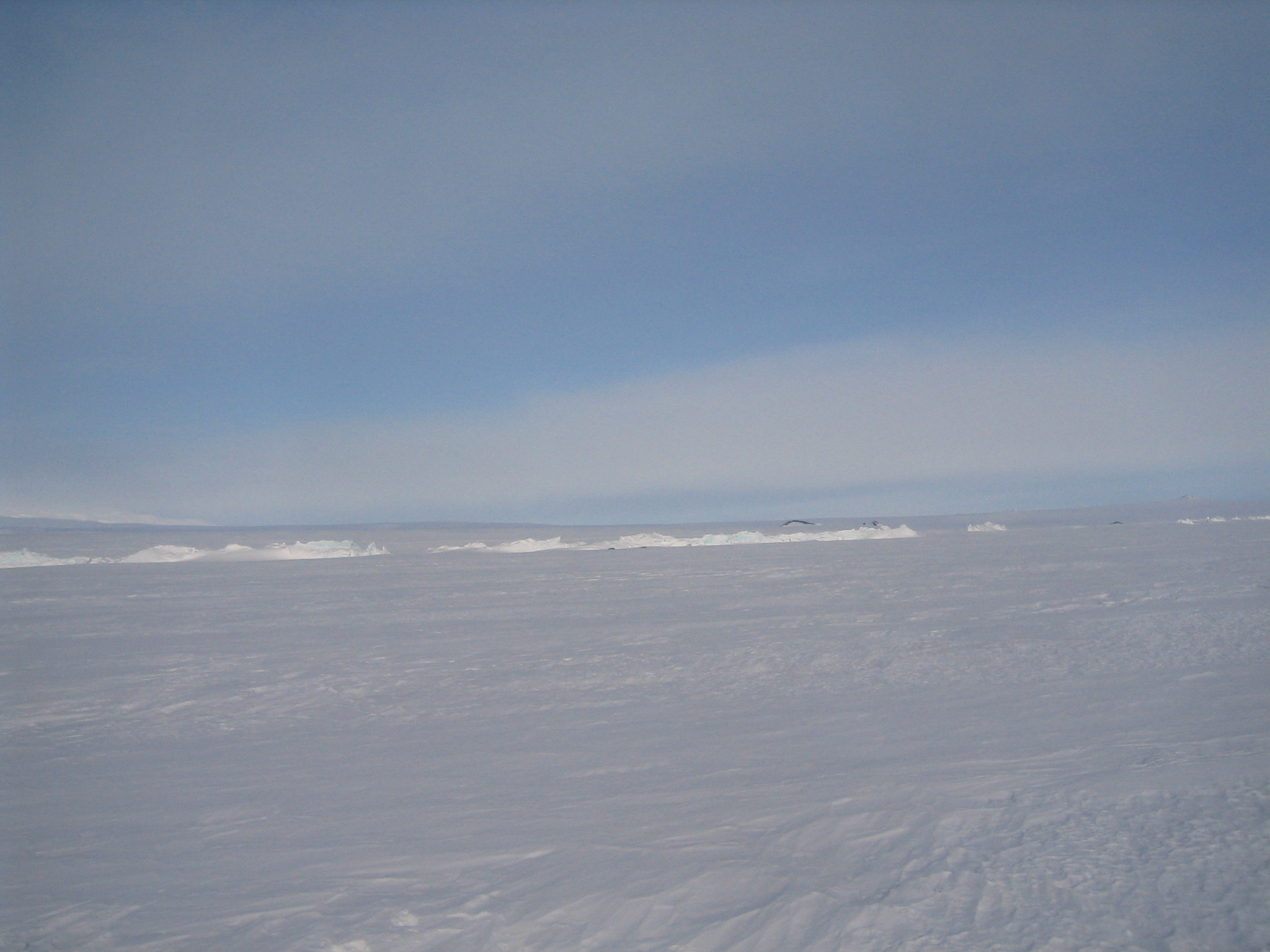
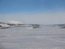
 | A glacier on the Transantarctic Mountains. |
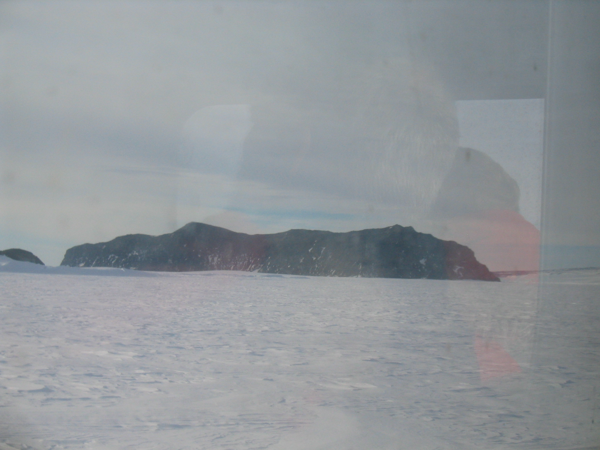
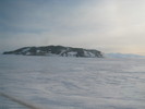
 | Castle Rock from the other side. |
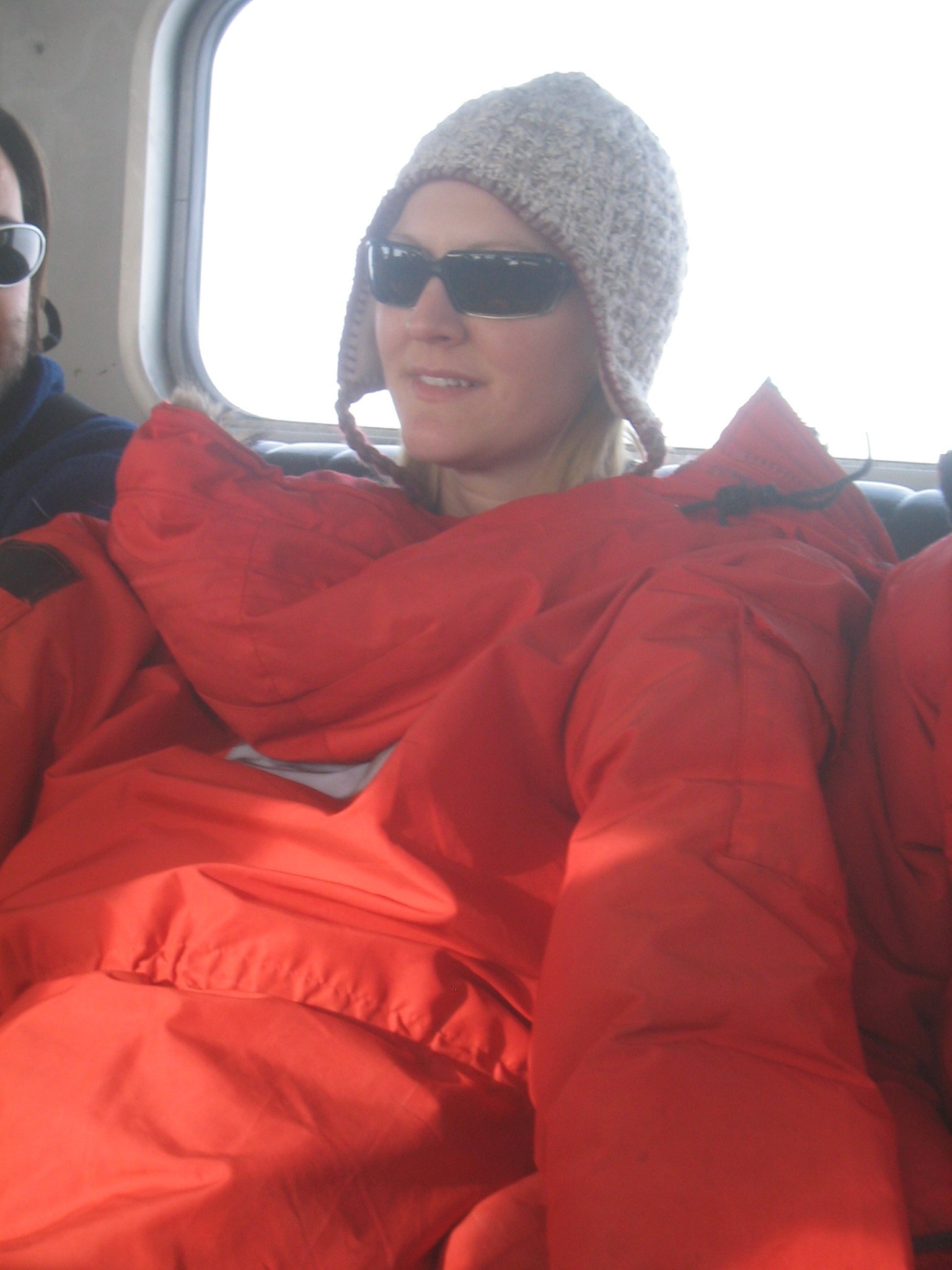
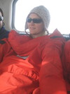 | Marie on the Delta. |
 | Nick. |
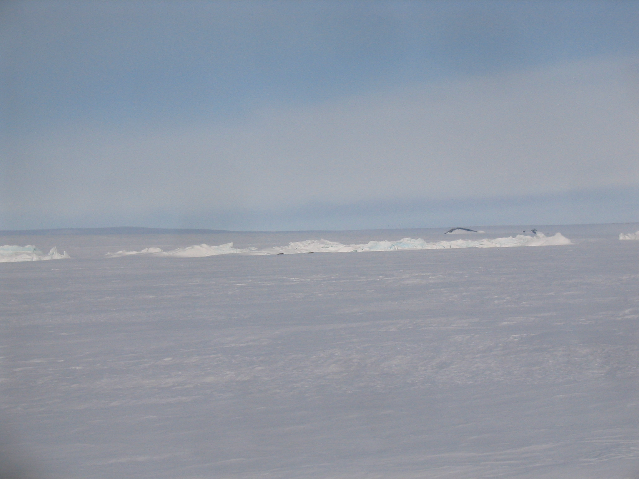
 | The Erebus Glacial Tongue, with pressure ridges and seals. |
|
 |
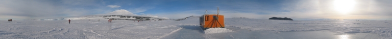
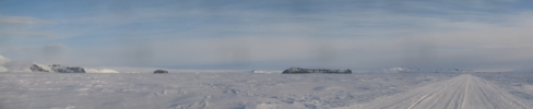
| (18999x1100, 10123.72 kb) A 270 degree panorama from near the Erebus Glacial Tongue in Erebus Bay. The
road I'm standing on here is on annual sea ice, which should melt sometime later
in the year, depending on sea conditions. When this ice melts, this area will
form Erebus Bay. The line of pressure ridges demark the Erebus Glacial Tongue,
a long glacier which sticks far out into the bay and doesn't melt with the
seasons. The tongue is now mostly buried beneath the snow because this ice
hasn't melted for a few years, due to icebergs partially blocking McMurdo Sound
further to the north for the past few years, which has led to less meltage.
Mount Erebus is at left, north of northeast. Near centre, just left of the
road you can make out Castle Rock and the rest of Hut Point Peninsula. On the
right side of the road is first Black Island, and then Mount Discovery. In
front and slightly right of Discovery is the low-lying Brown Peninsula. Then
comes Mount Morning and then a gap where the Koetlitz Glacier is. On the other
side of the glacier is the Royal Society Range. The next gap is the Ferrar
Glacier. To the right is the Kukri Hills, and then the Asgard and Olympus
Ranges, where the famous dry valleys are. At right is Granite Harbour.
|
|
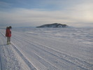
 | Stopping to get a look at the seals. The black rock in the background is Tent Island. |
 | Another picture of the same. |
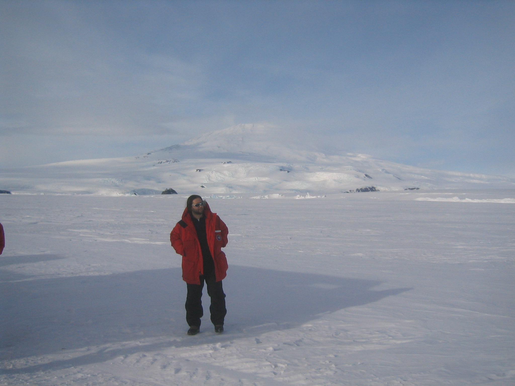
 | Chris in front of Erebus. |
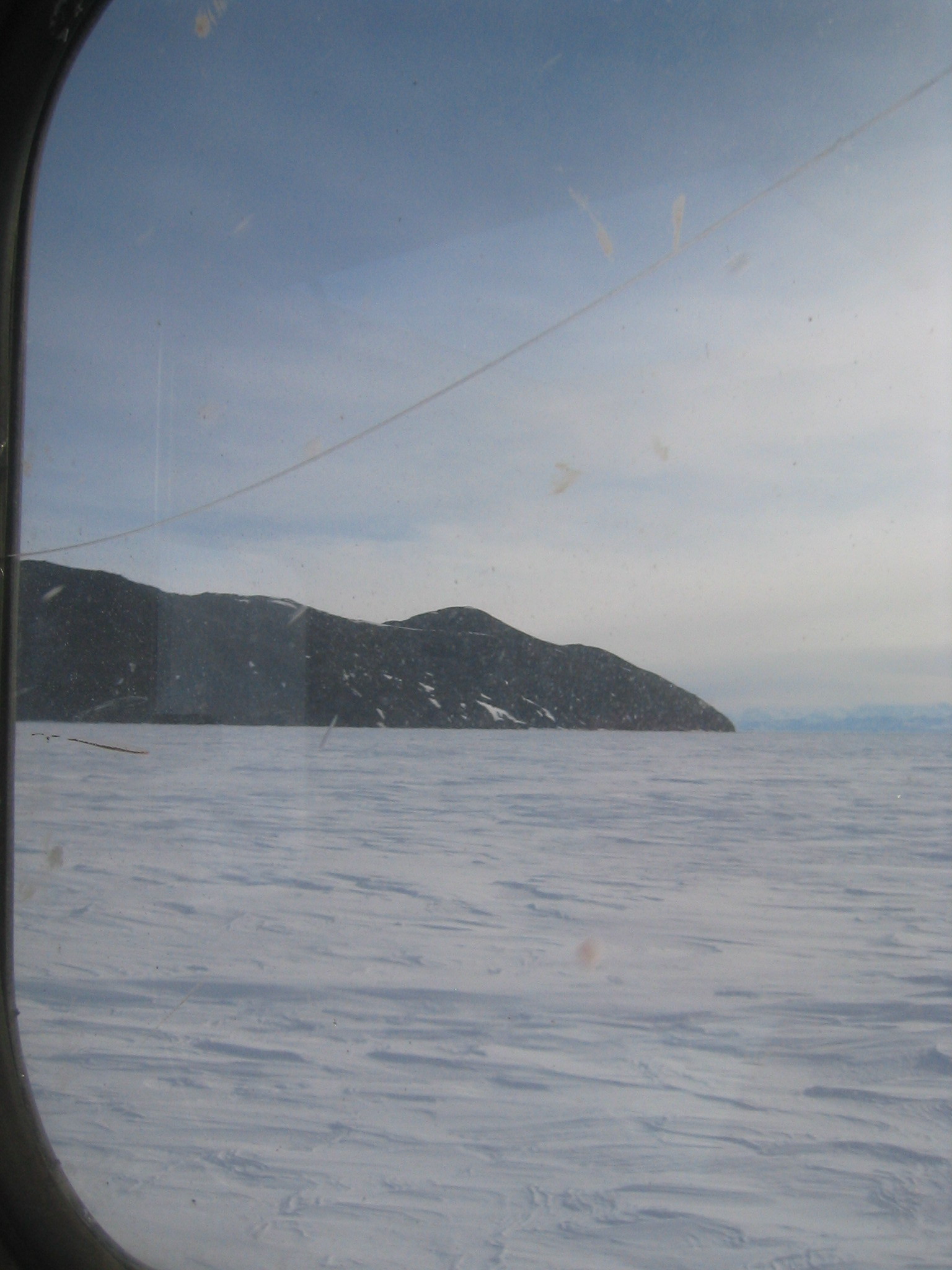
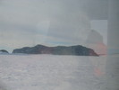
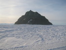
 | Tent Island, with Inaccessible Island behind it. |
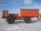
 | The Delta. |
 | The Delta. |
 | Pressure ridges. |
 | Erebus. |
 | Inaccessible Island. |
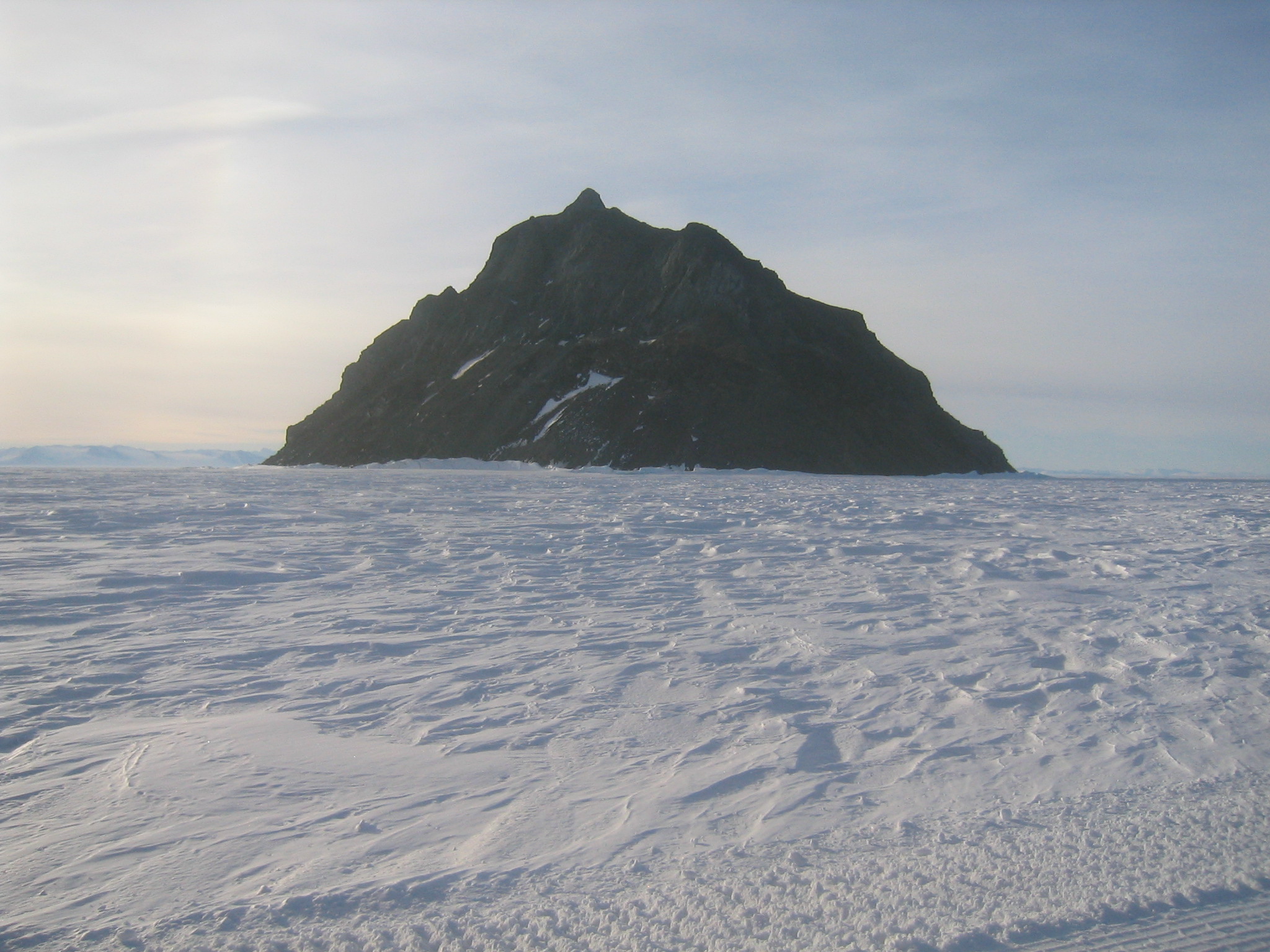
 | Big Razorback. There's a field camp at the base, as well as many seals. |
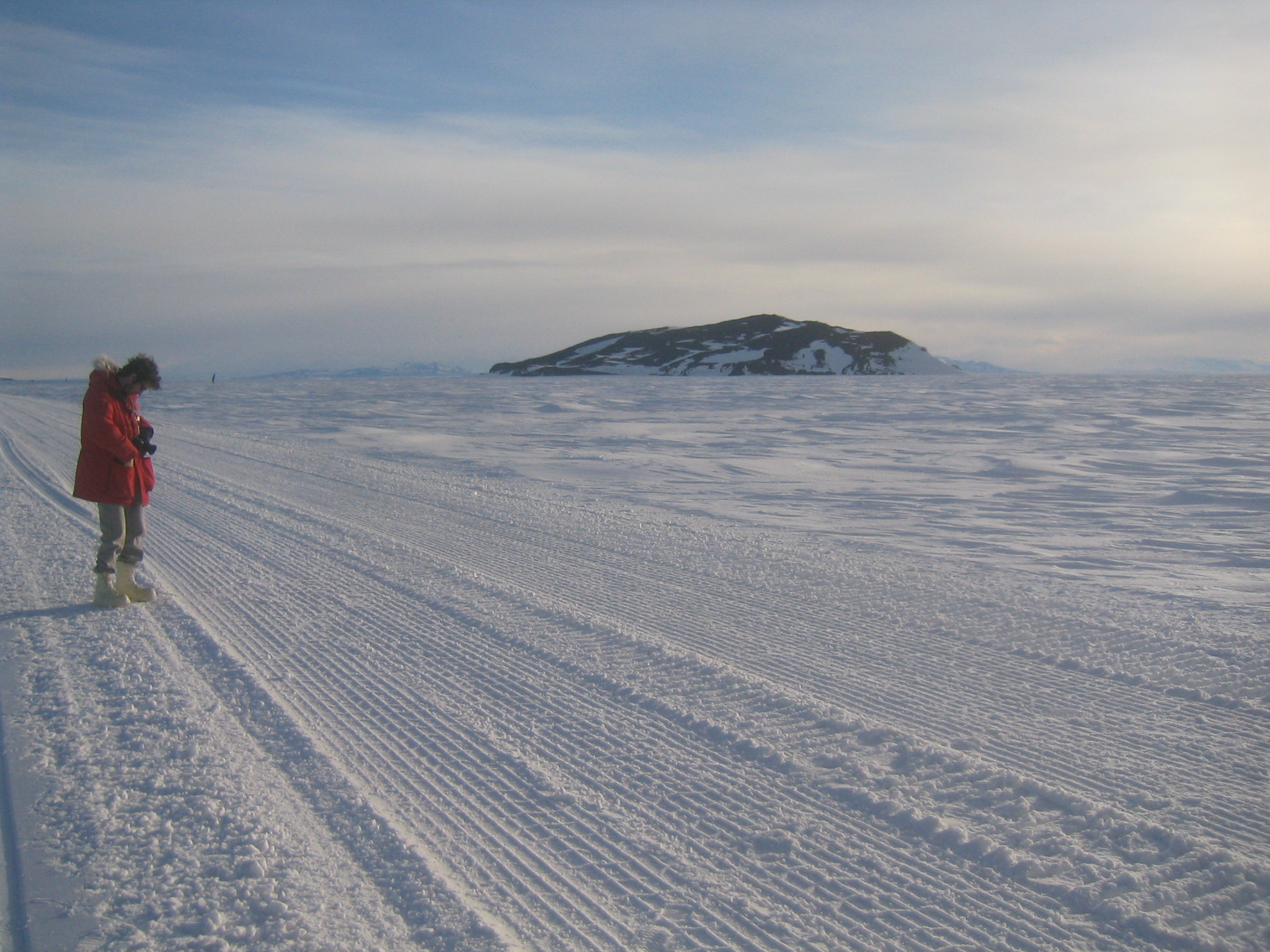
 | Tent Island from the other side. |
 | Inaccessible Island. |
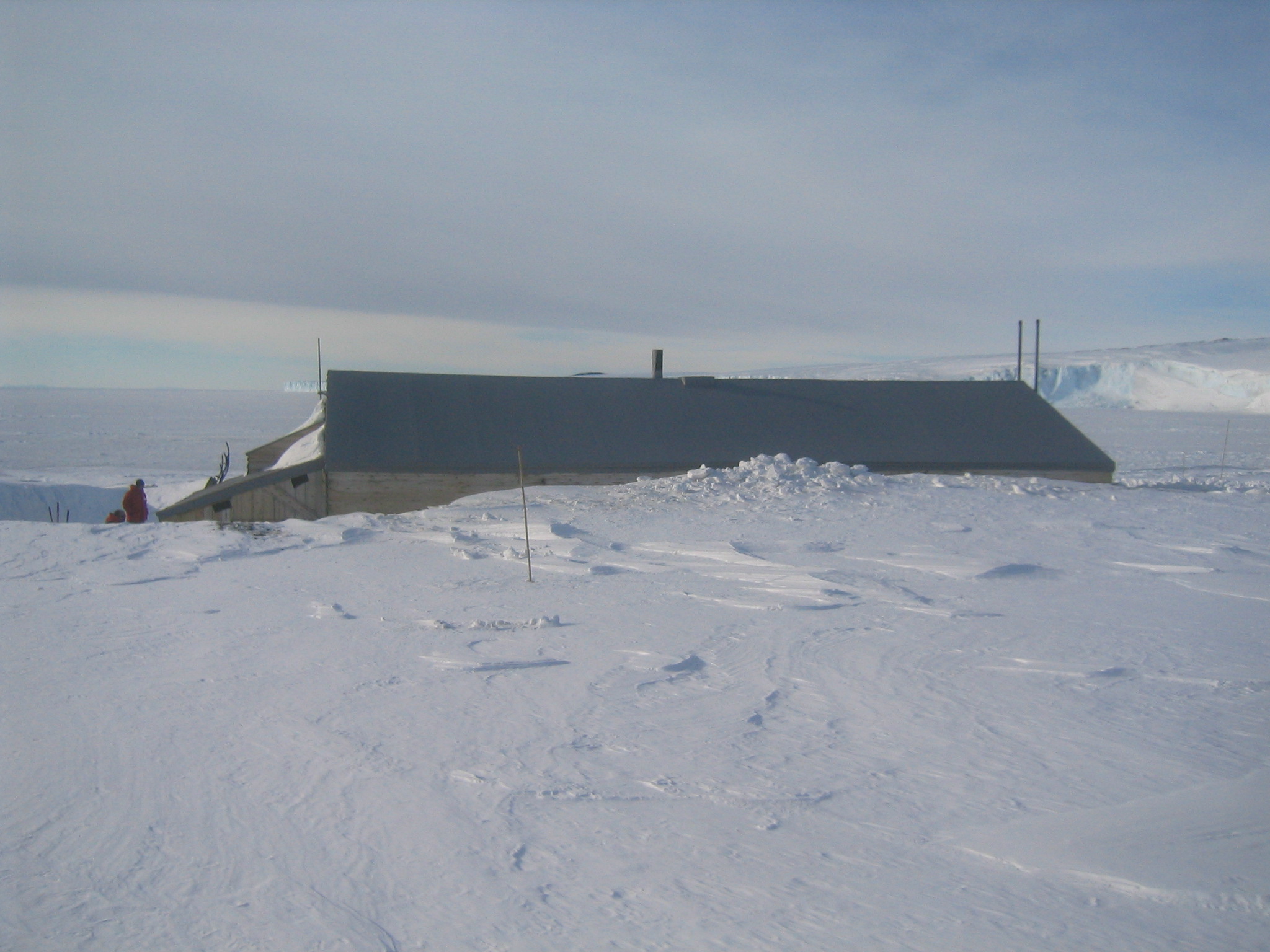
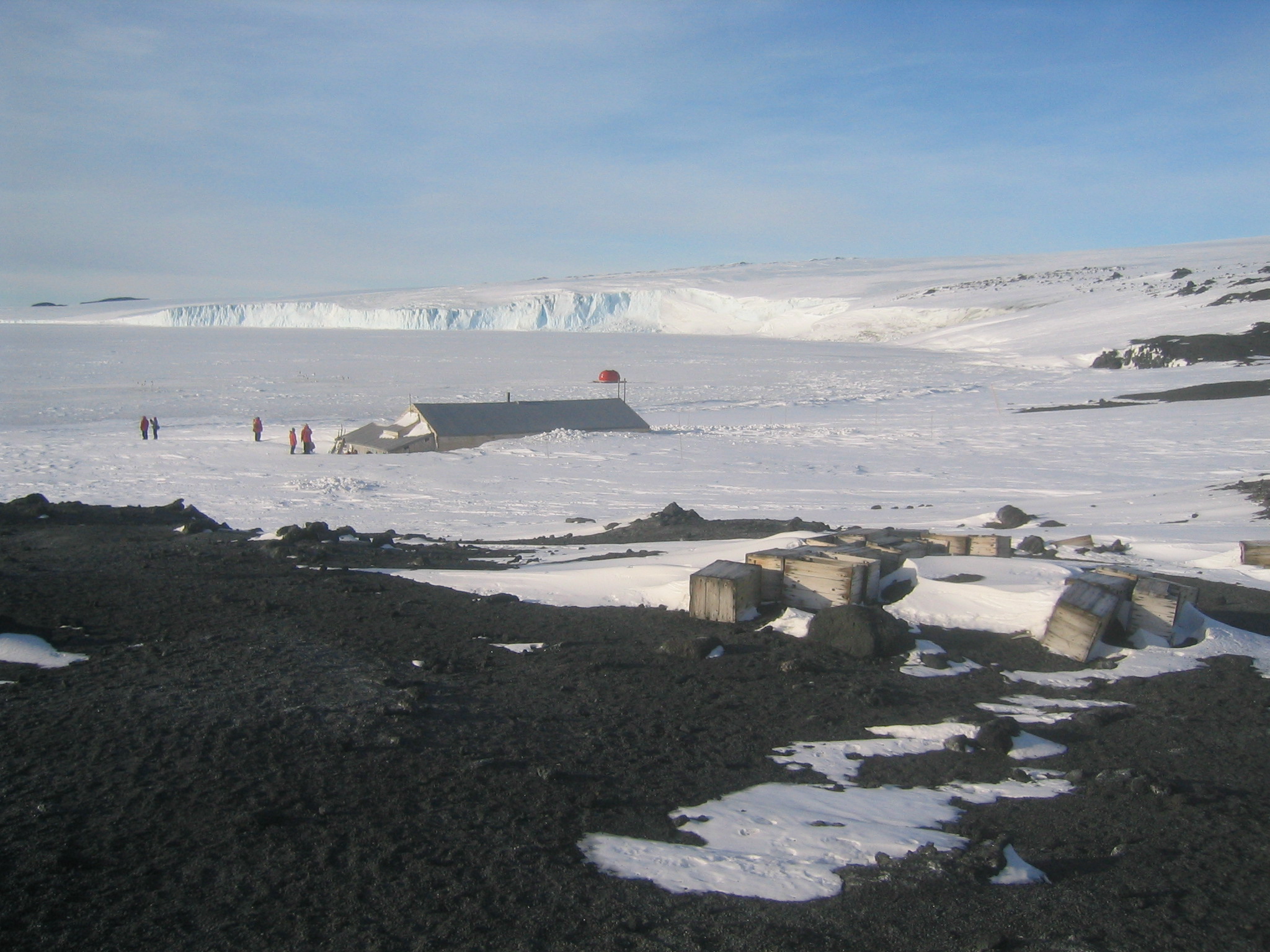
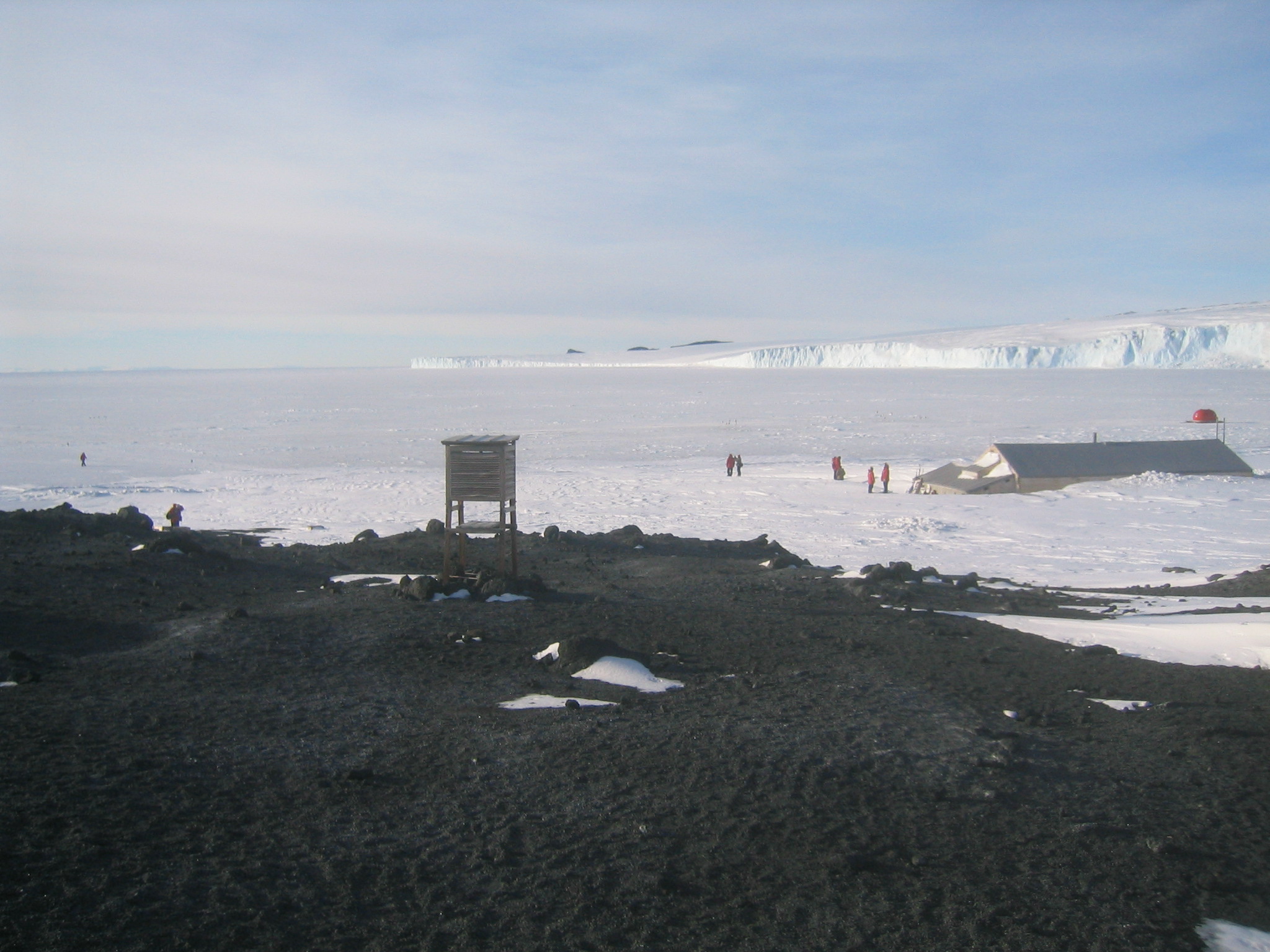
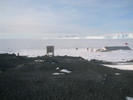
 | Terra Nova Hut at Cape Evans. |
 | Erebus from Cape Evans. |
 | Terra Nova Hut at Cape Evans, with Wind Vane Hill at right. |
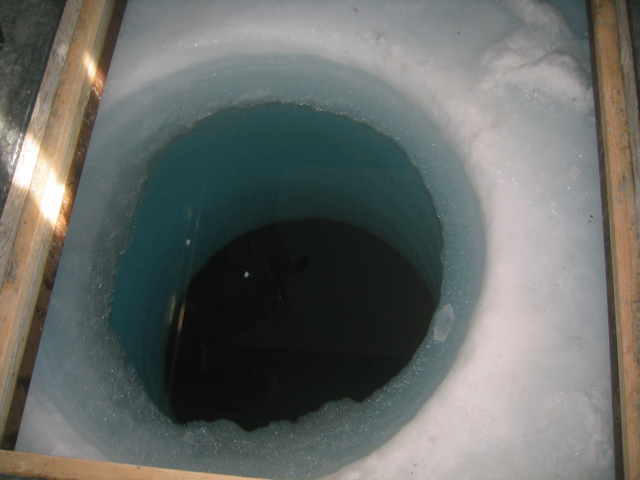
 | A fish hut at Cape Evans, used to study local wildlife. |
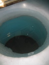
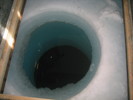 | The hole in the ice inside the fish hut. The reflection you see is from the sea water. |
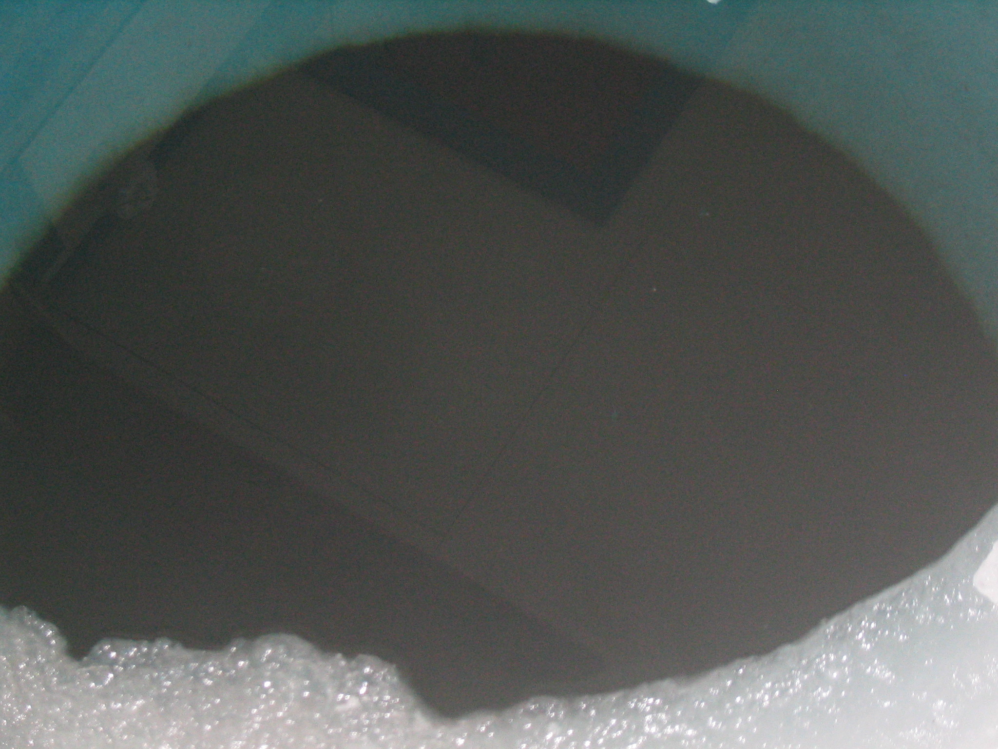
 | Ice hole. |
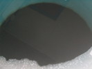 | Ice Hole. |
 | Ice Hole. |
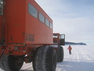
 | Our Delta waits for our return. |
 | Marco takes some pictures. |
|
 |
| (13639x1364, 10362.37 kb) A 360 degree panorama of Cape Evans from the sea ice. The cut is roughly
north. Just right of the delta are the cliffs of the Barne Glacier. Beyond
the glacier you can just make out the hills of Cape Royds, where Shackelton's
Hut is. Omnipresent Erebus smokes away left of centre. The highlands to the
right of the volcano is Turks Head Ridge. Following the line of people you'll
find Scott's Terra Nova Hut, half buried in snow. Just left of the
orange fish hut is Wind Vane hill with a cross on top. To the right of the
fish hut is Cape Evans proper, and, much more prominently, Inaccessible Island
further right. To the northwest, beneath the sun are the Transantarctic
Mountains. The prominent glacier reflecting the sun is probably Mackay Glacier,
which falls into Granite Harbour at the north end of the dry valleys area.
There are two Mark Halperns in this image, as well as Matt's disembodied
shadow. Try to find them, if you'd like. Note that the sea ice here is largely
clear of packed snow, since this ice is only a year old. The sea ice on the
other side of Ross Island, where Willy Field is, never melts, so it has
accumulated many seasons of snow. Note also the sundogs.
|
|
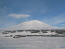 | Erebus. |
 | Crack in the sea ice near the transition. |
 | Terra Nova Hut. |
 | Looking back from Terra Nova Hut over the ice shelf towards the Transantarctics. |
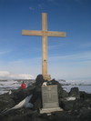
 | Wind Vane Hill with cross at top. |
 | Terra Nova Hut. |
 | Terra Nova Hut. |
 | The bank around the hut is high. |
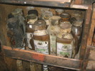
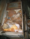
 | Some hundred year old supplies. |
 | Some hundred year old supplies. |
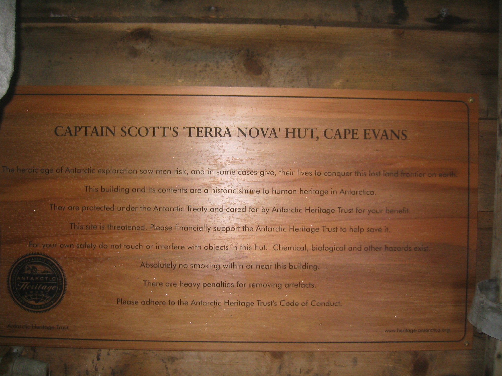
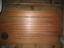
 | Scott's Hut Cape Evans plaque. |
 | Matt about to go inside. |
 | The north side of the hut. |
 | Looking back towards the ice. |
 | The east side of the hut. |
 | Old nails and leather outside. |
 | Marco peers inside. |
 | Erebus from the hut. |
 | Hundred year old stuff. |
 | Broken glass. |
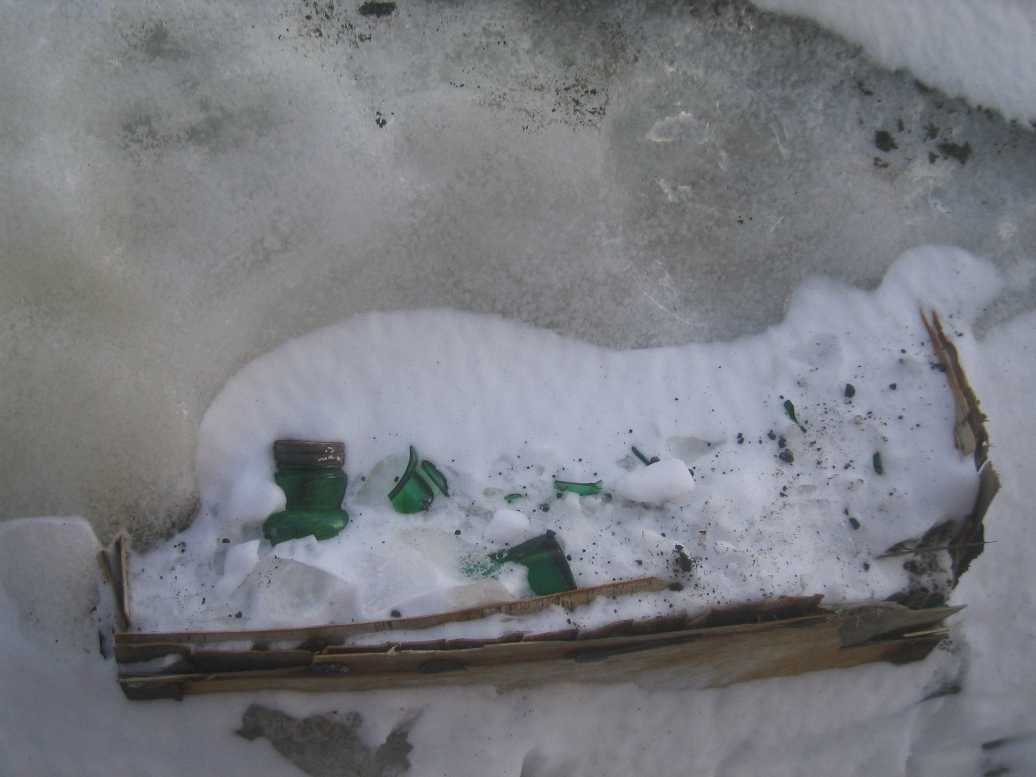
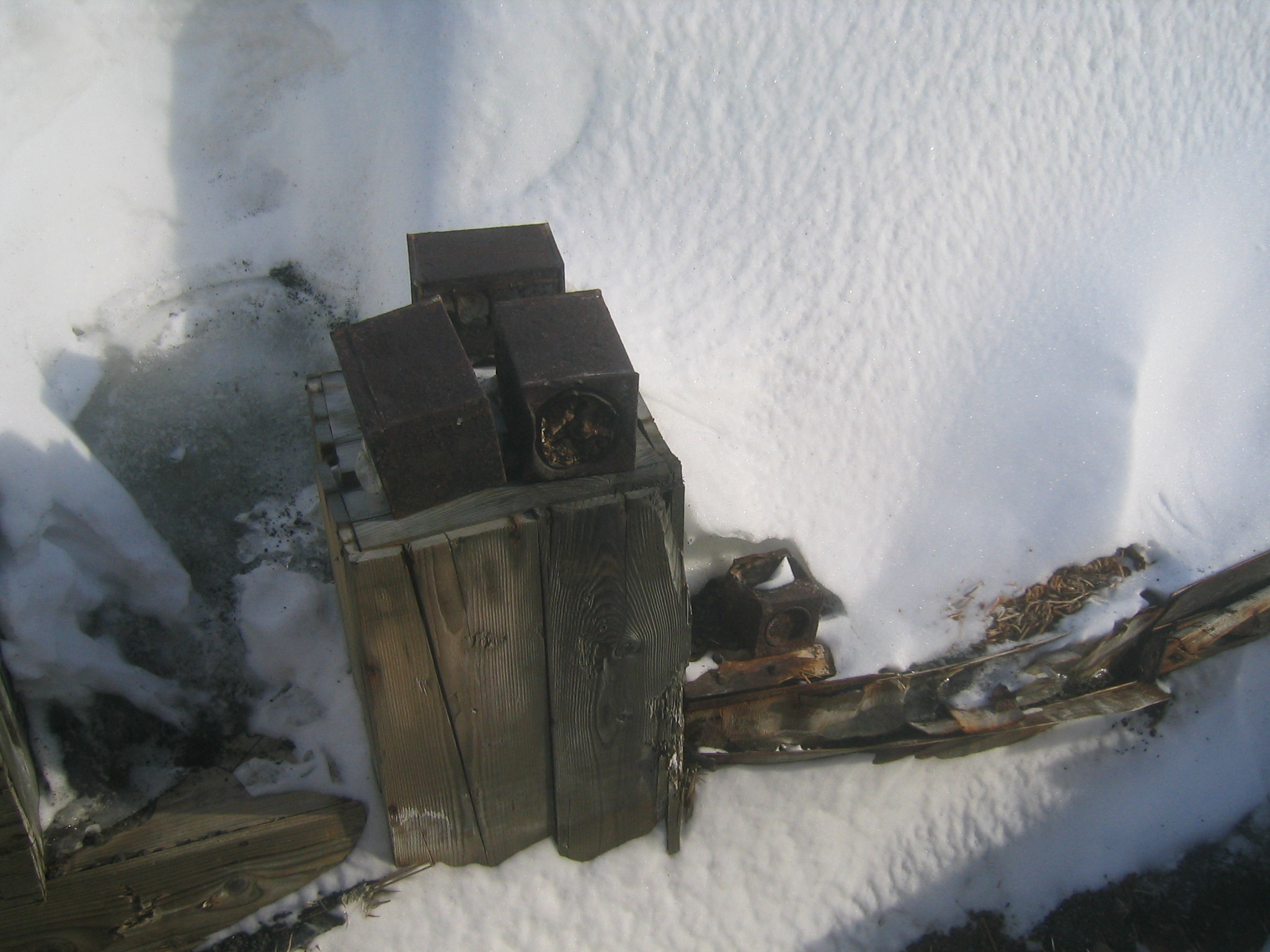
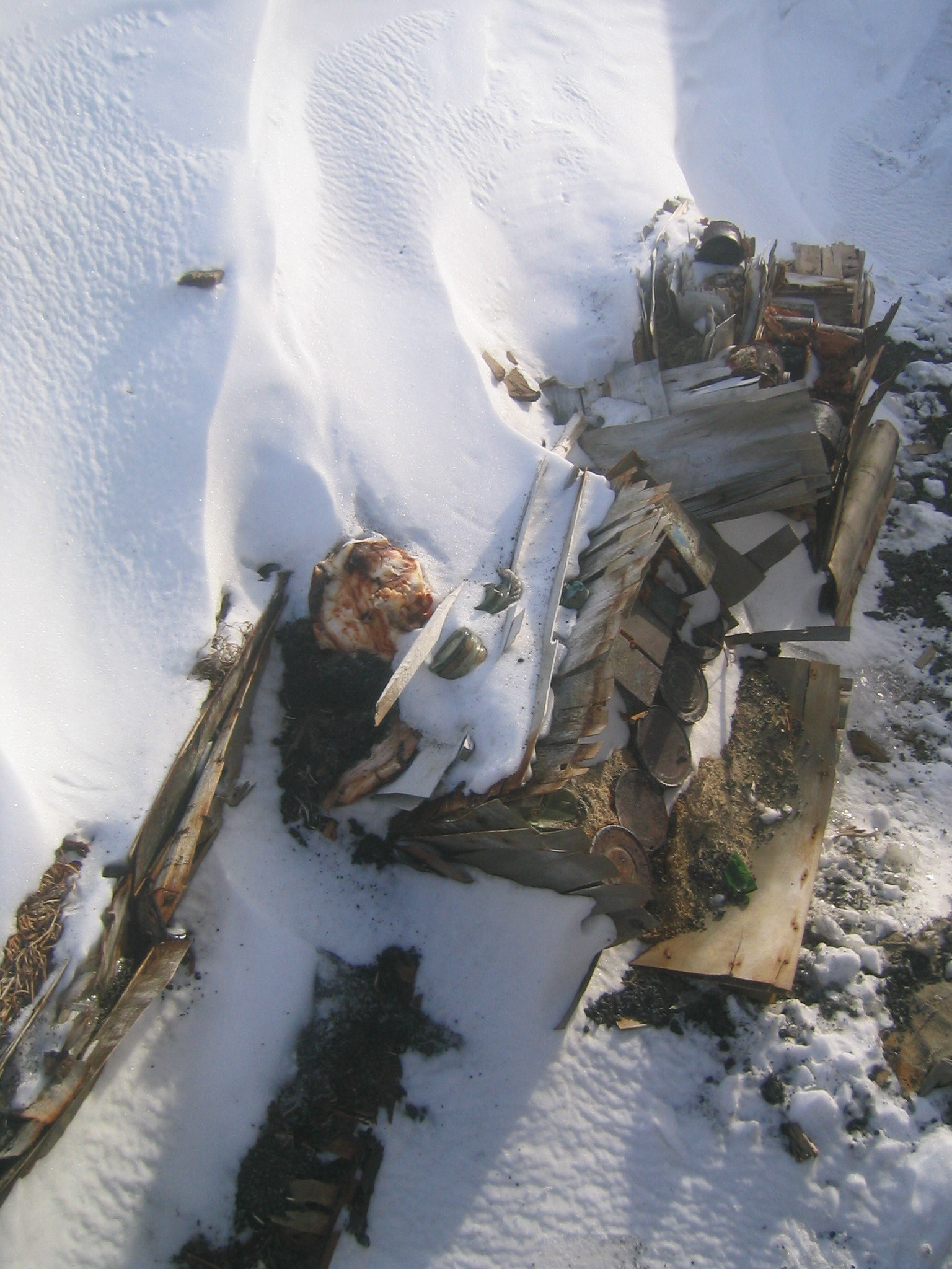
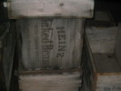
 | Old cans. |
 | Old cans. |
 | Hundred year old trash. |
 | The roof. |
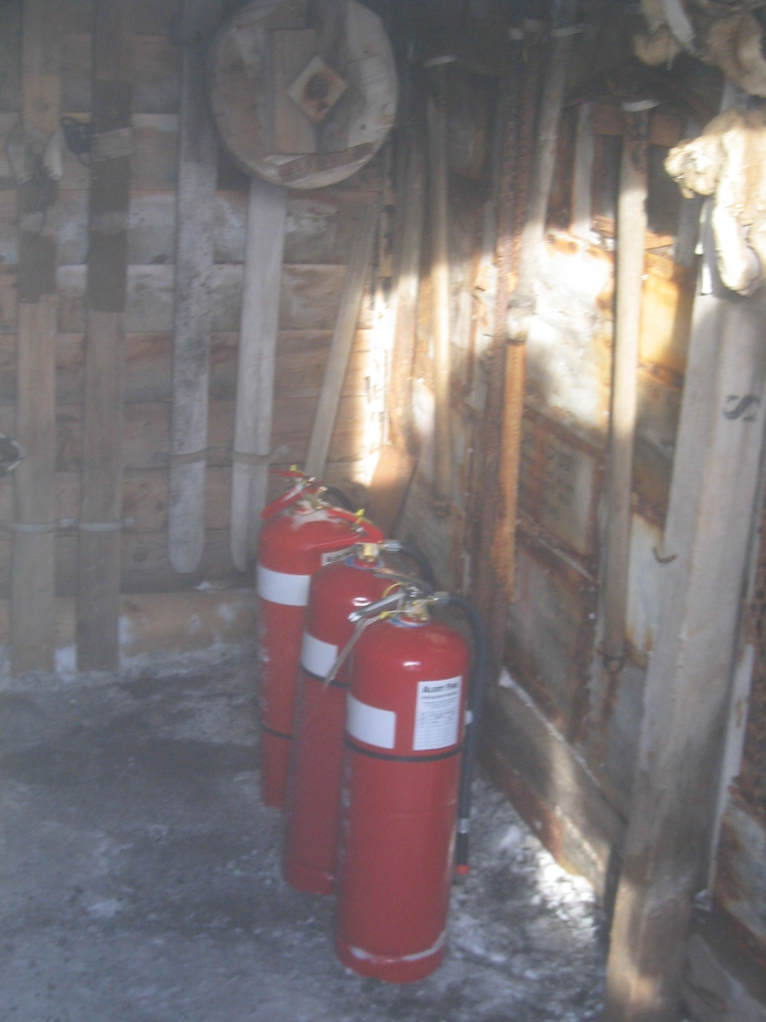
 | Inside the door. After a hundred years. the fire extinguishers look like new! |
 | The second delta arrives. |
 | The plaque inside the door. |
 | B.A.E. Shore Party. |
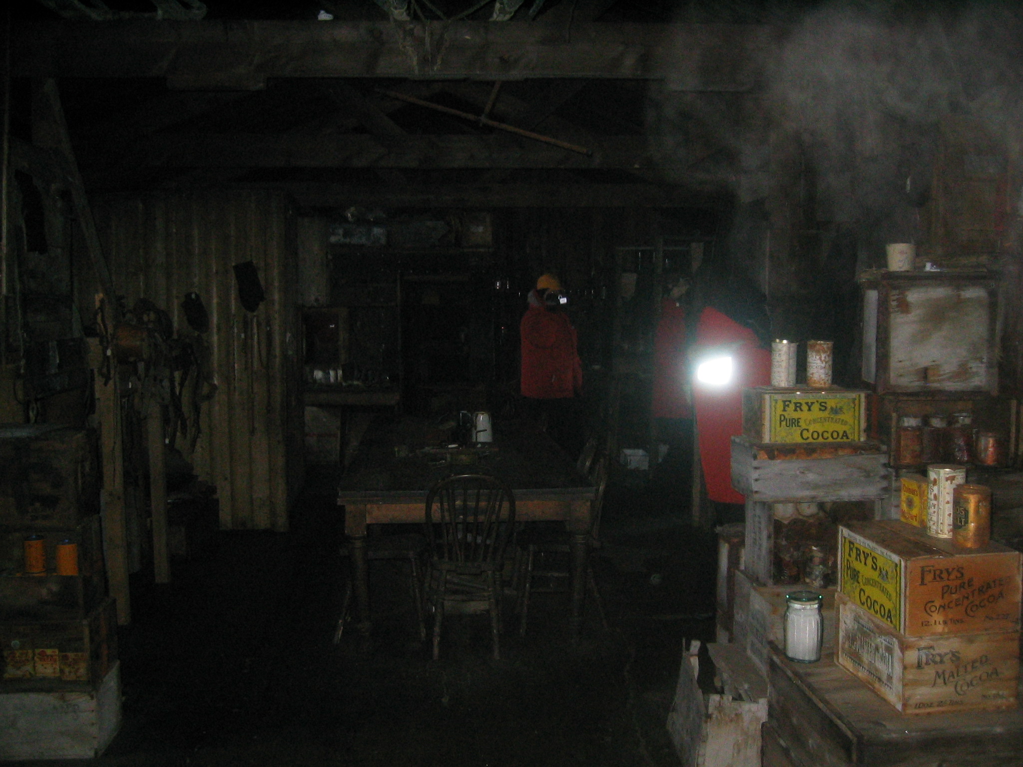
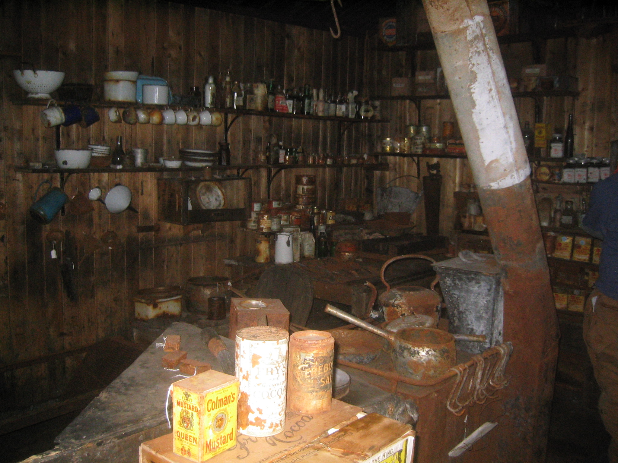
 | Inside the hut. |
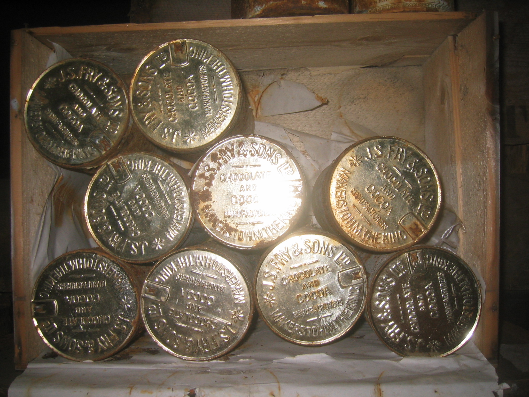
 | Tins of cocoa. |
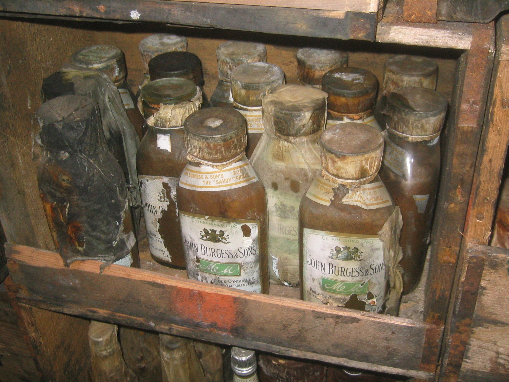
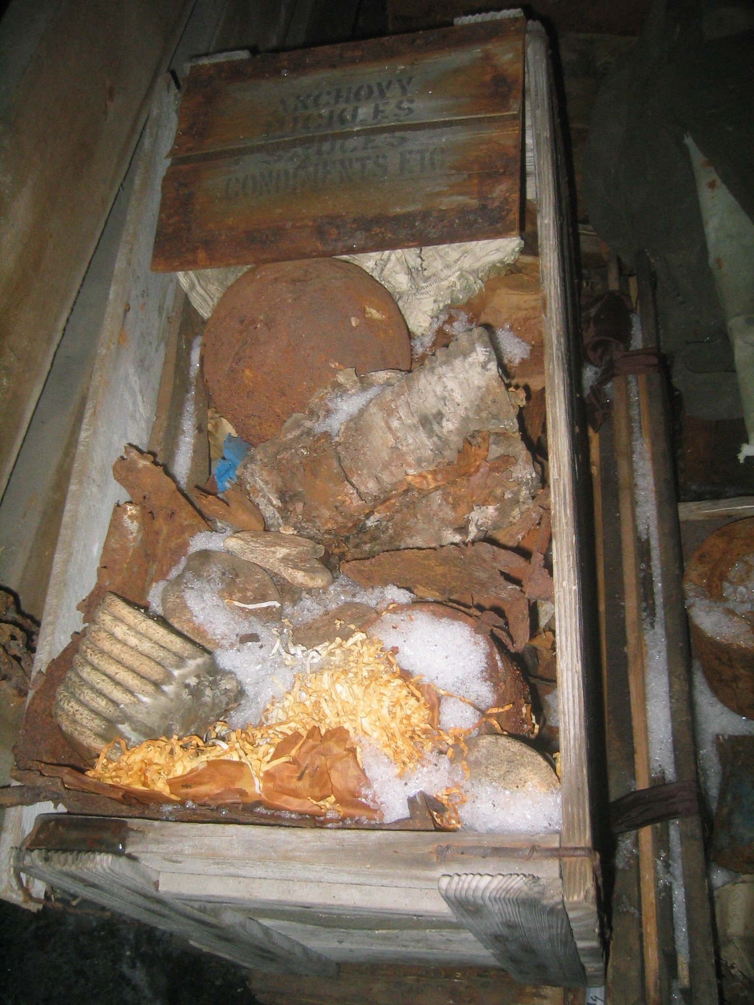
 | Piquant and delicious condiments. |
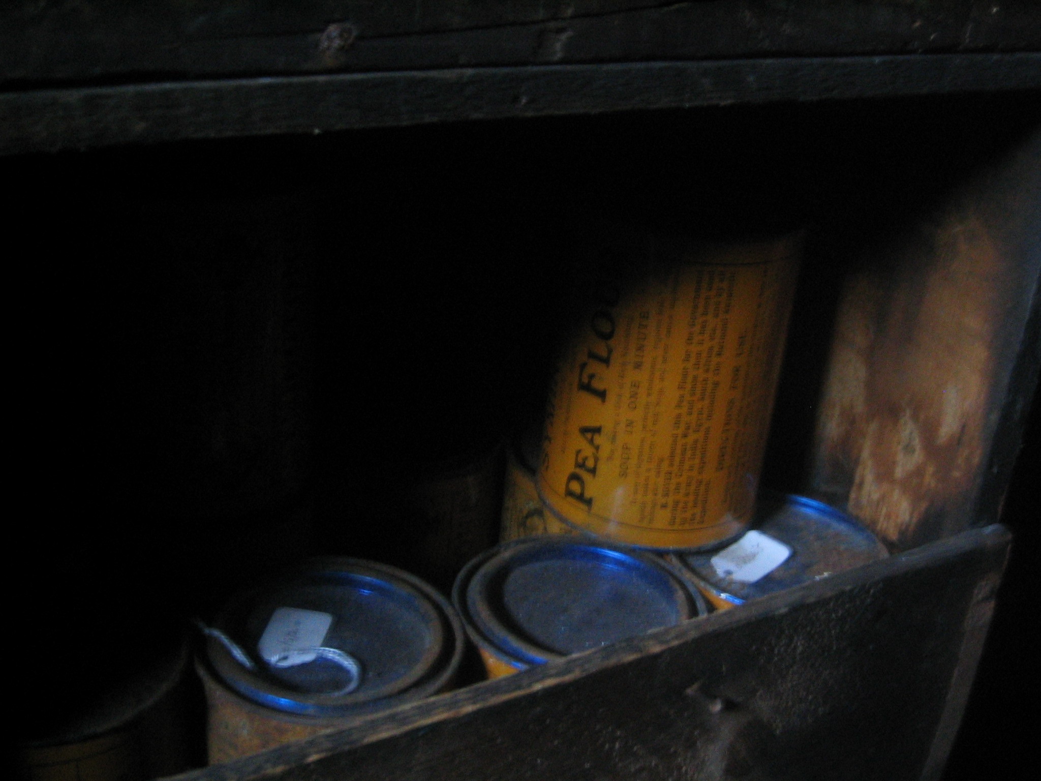
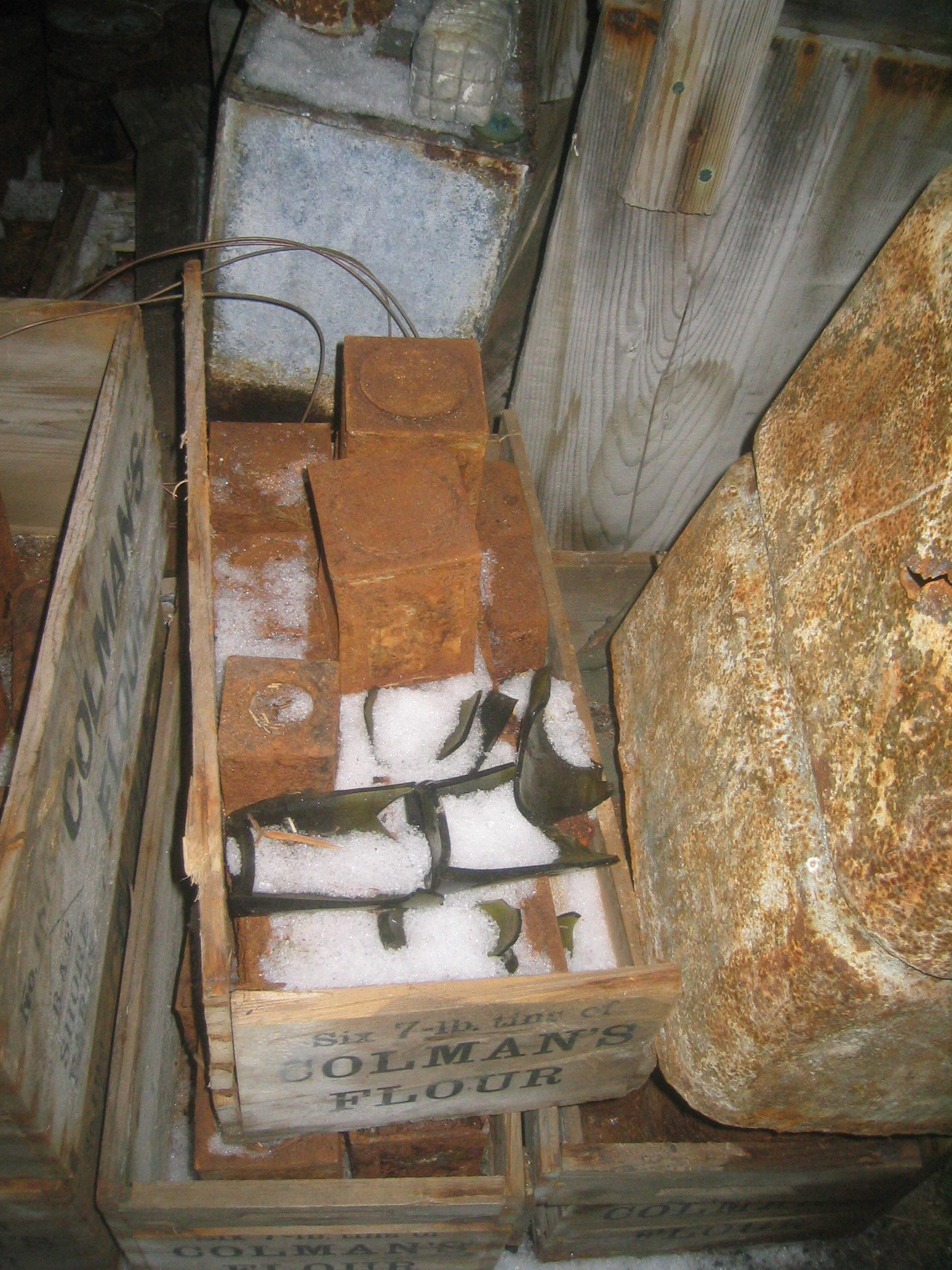
 | Tins of pea flour. |
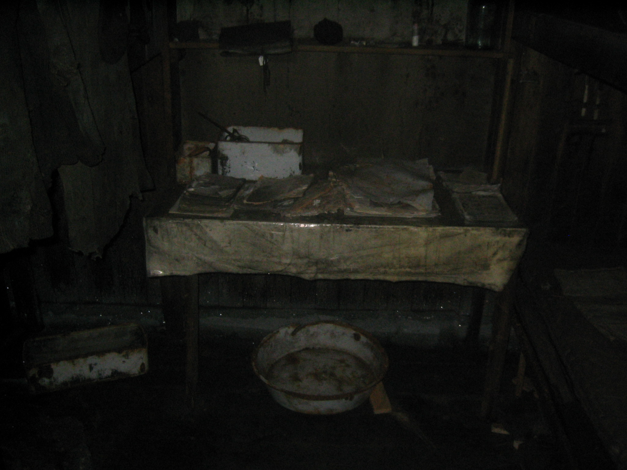
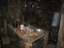
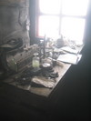
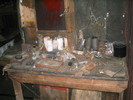 | Work bench. |
 | Work bench. |
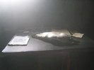 | Emperor penguin on the disecting table. |
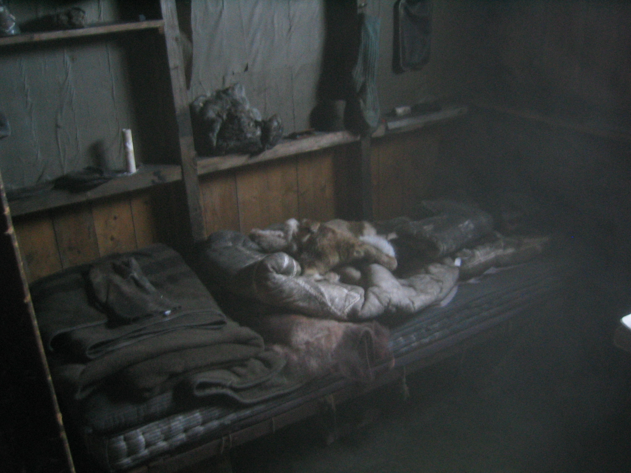
 | Scott's bunk. |
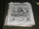 | The Illustrated London News, Saturday, February 29, 1908. |
 | The dark room. |
 | The chemistry lab. |
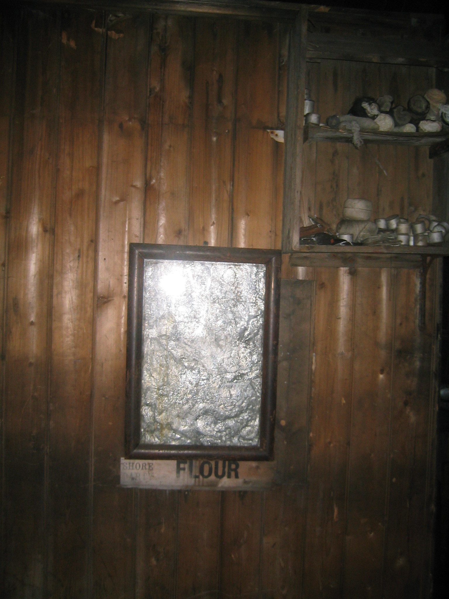
 | A framed piece of tin foil of unknown use. |
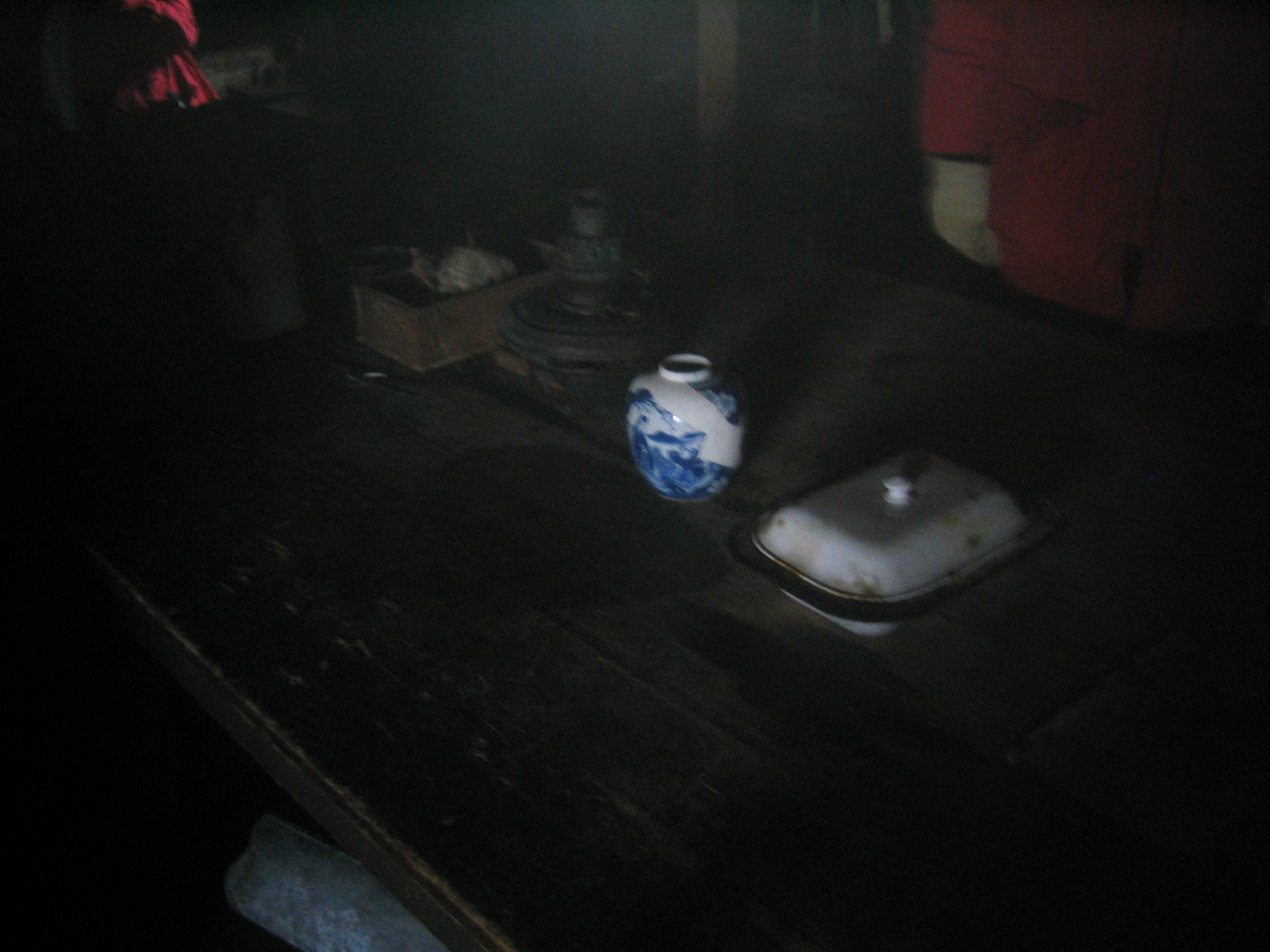
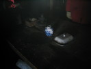 | A china pot on the table, incongruously bright. |
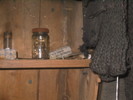
 | More glassware. |
 | Another bunk. |
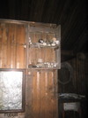 | Supplies on the shelf. |
 | The heater. |
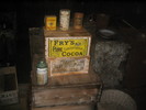
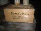 | Fry's Cocoa. |
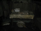
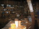 | The galley. |
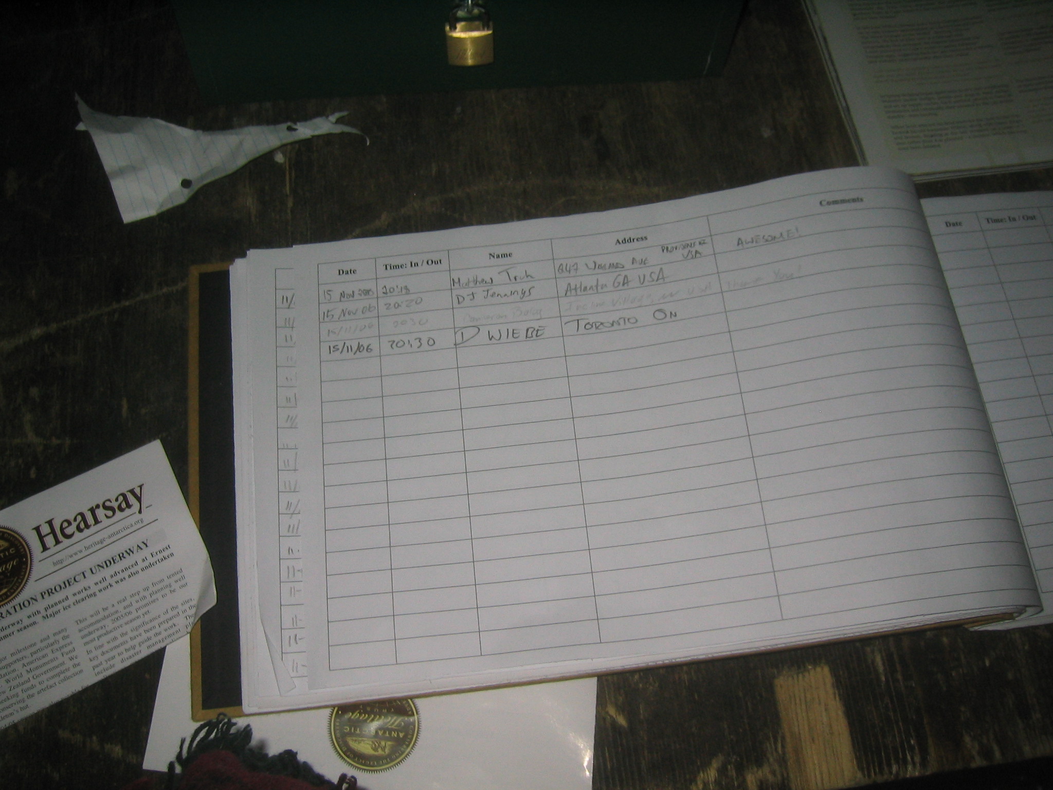
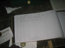 | My entry in the log. |
 | Cocoa, Mustard, Salt. A delicious combination. |
 | American Baked Beans. |
 | Table and chamber pot. |
 | Entirely free from injurious acids. |
 | The "Tennaments". |
 | The kitchen, again. |
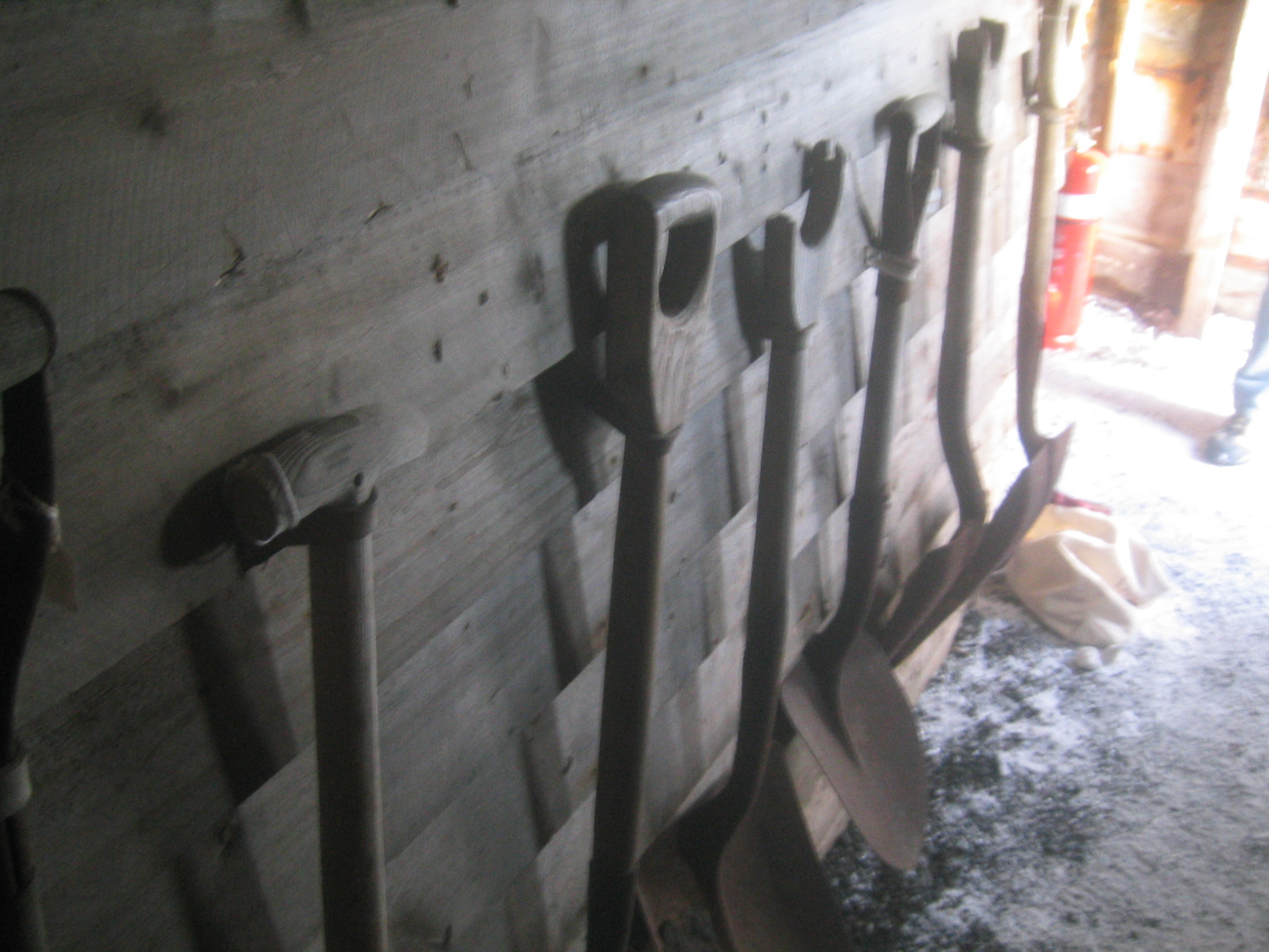
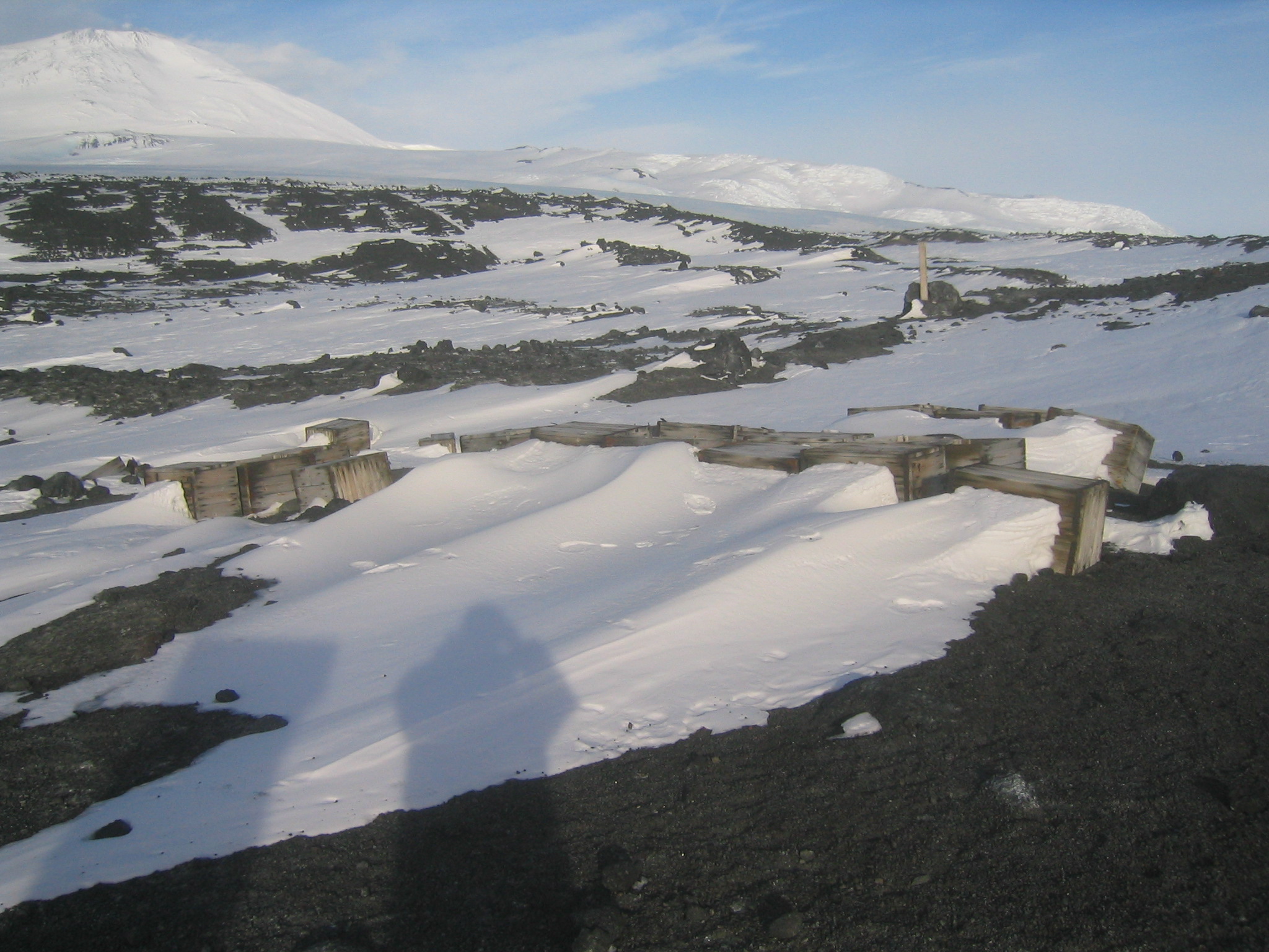
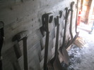 | Shovels and spades. |
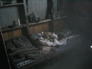
 | Frozen seal hides. |
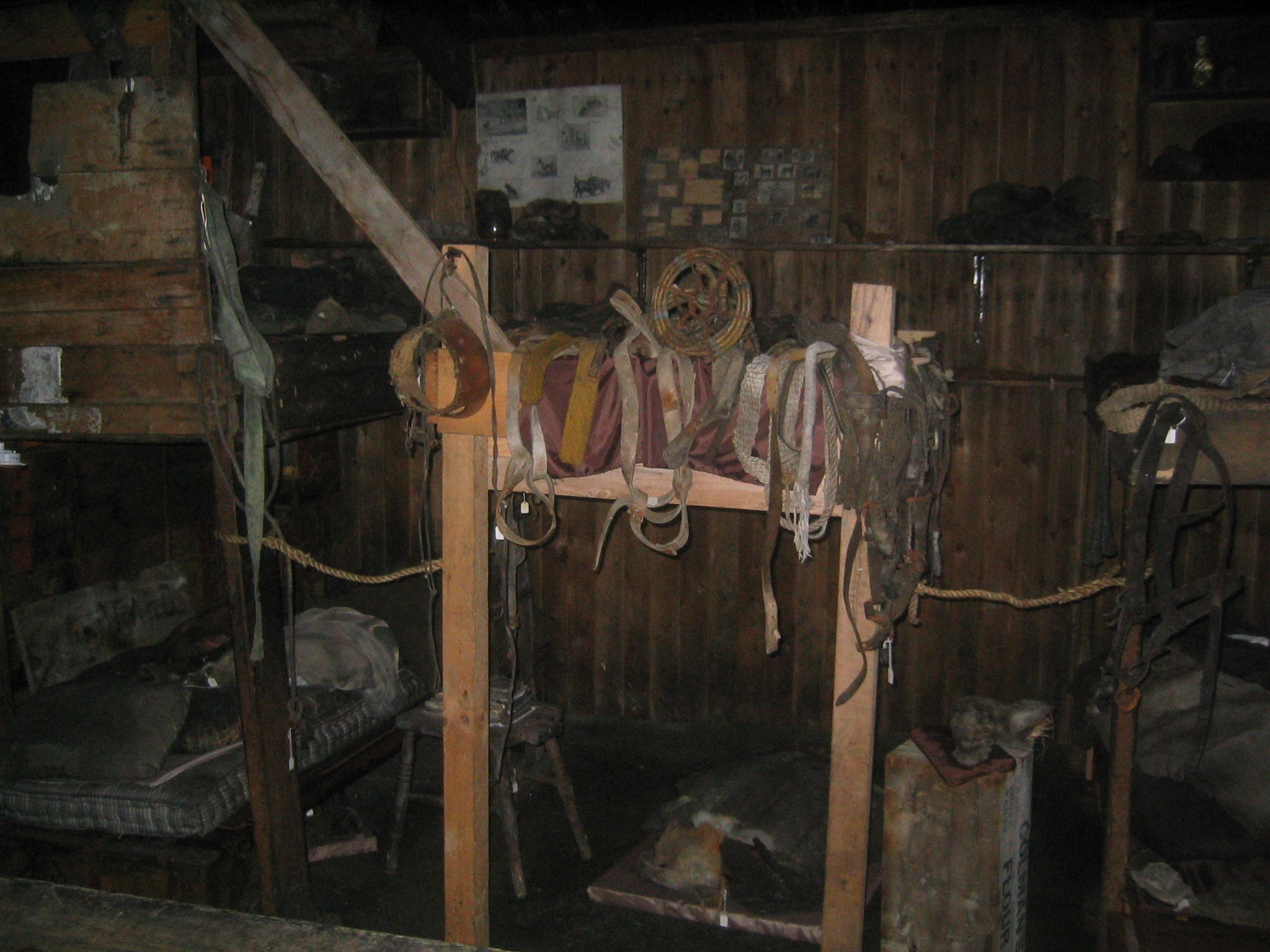
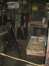
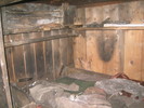
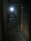 | Looking down the stables. |
 | Ice on the beams. |
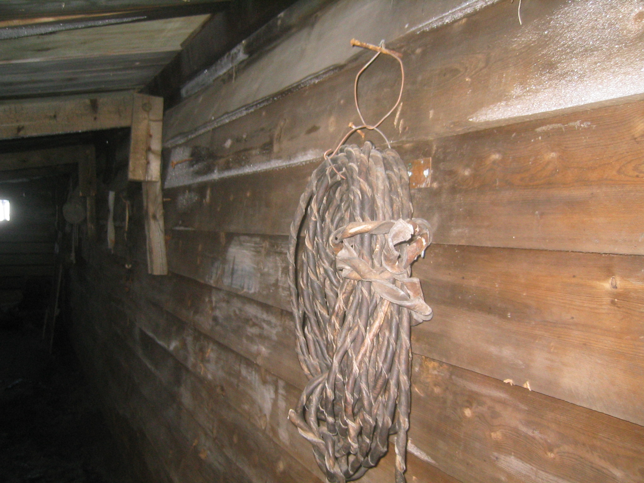
 | Hundred year old tack. |
 | A stall. |
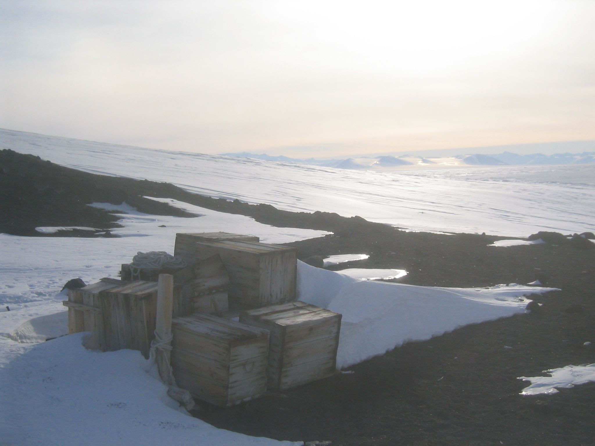
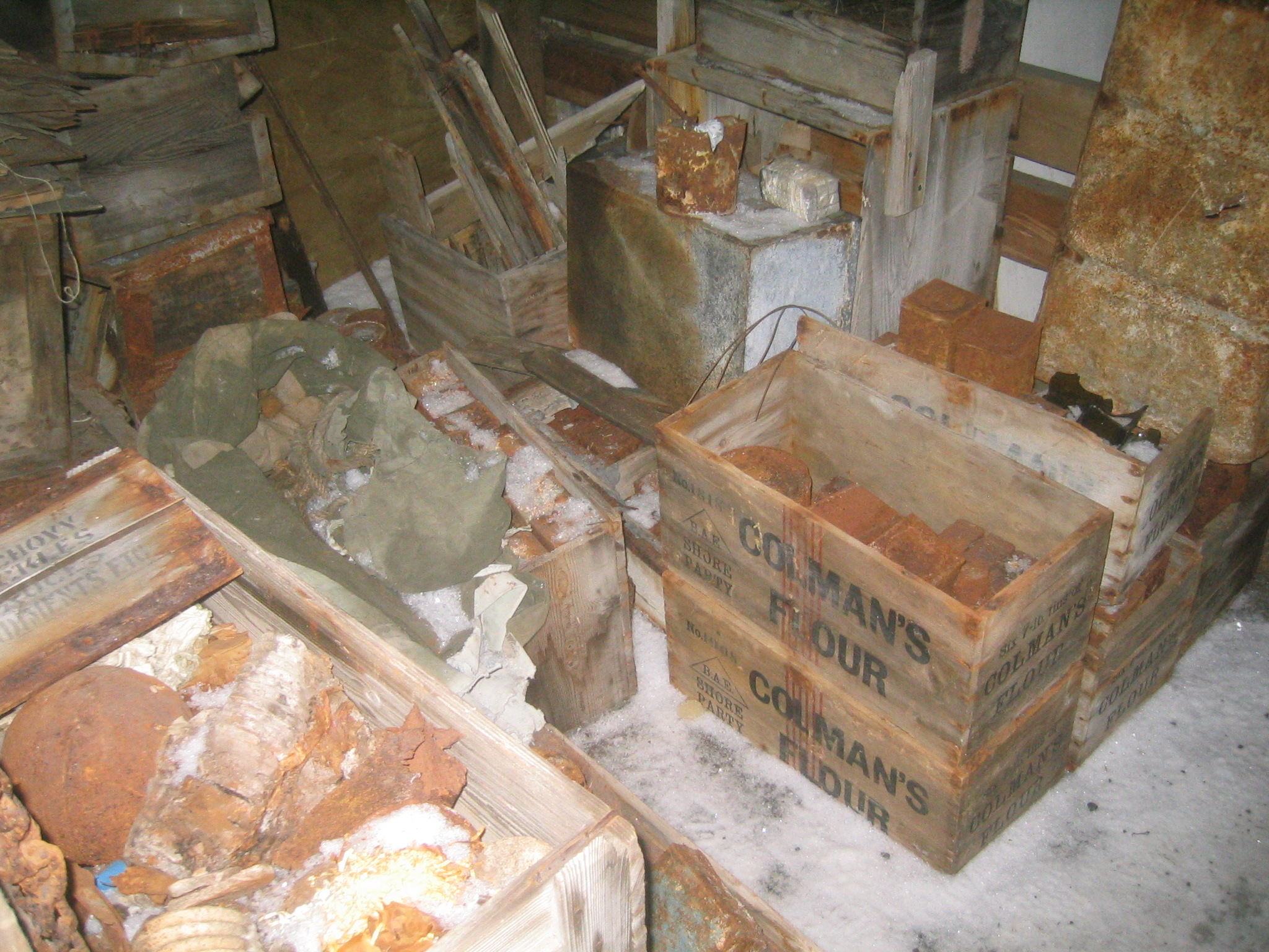
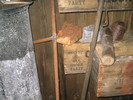
 | Original supplies. |
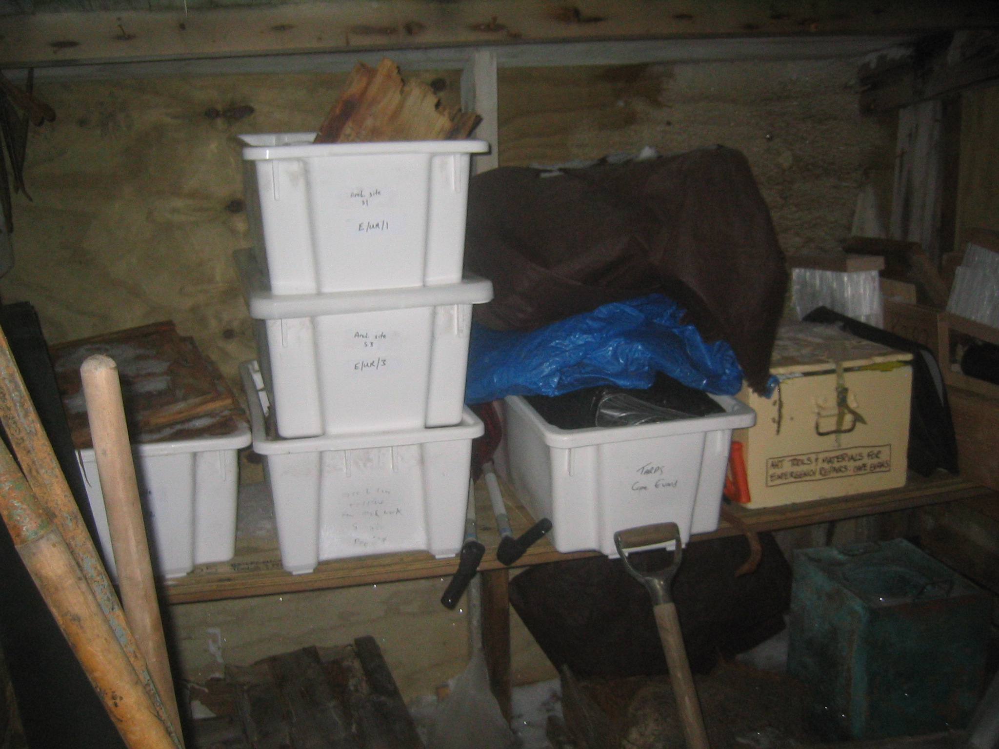
 | Archaeological supplies. |
 | Back to the original supplies. |
 | More square tins. |
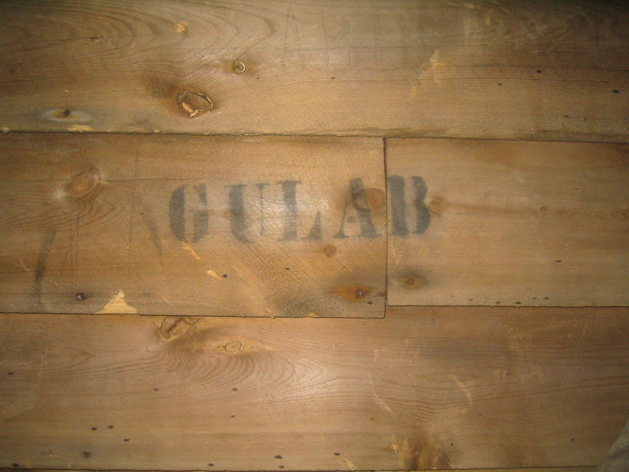
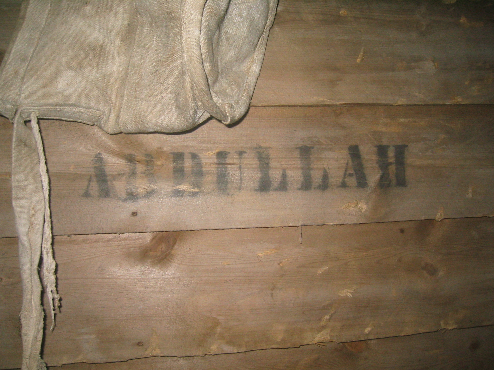
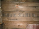 | The ponies' names are still on the stall walls: Khan Sahib. |
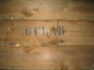 | Gulab. |
 | Abdullah. |
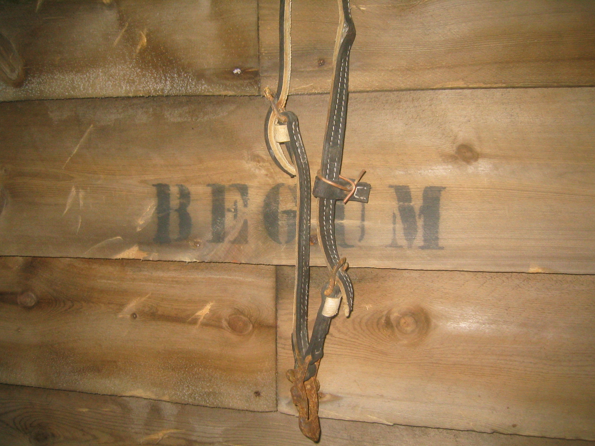
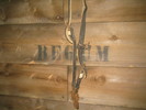 | Begum. |
 | Pujaree |
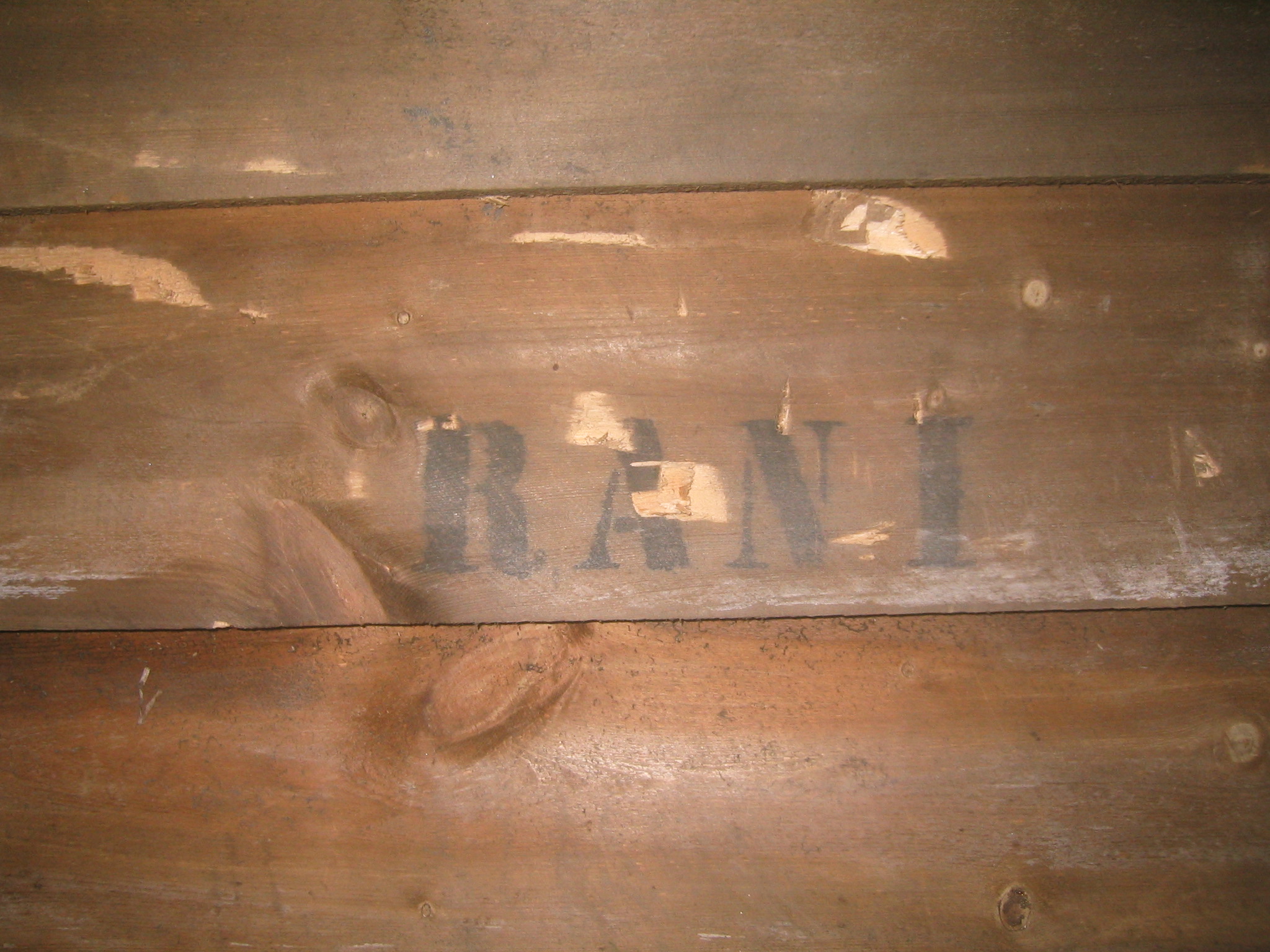
 | Rani |
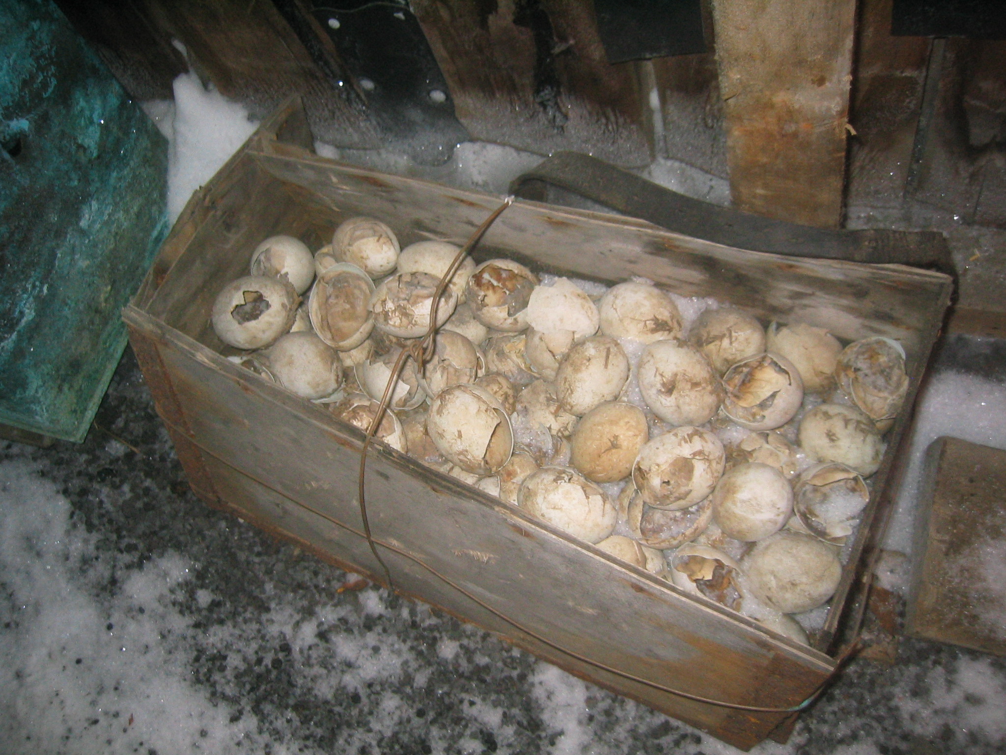
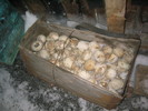 | Pengiun eggs. |
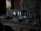
 | Tools. |
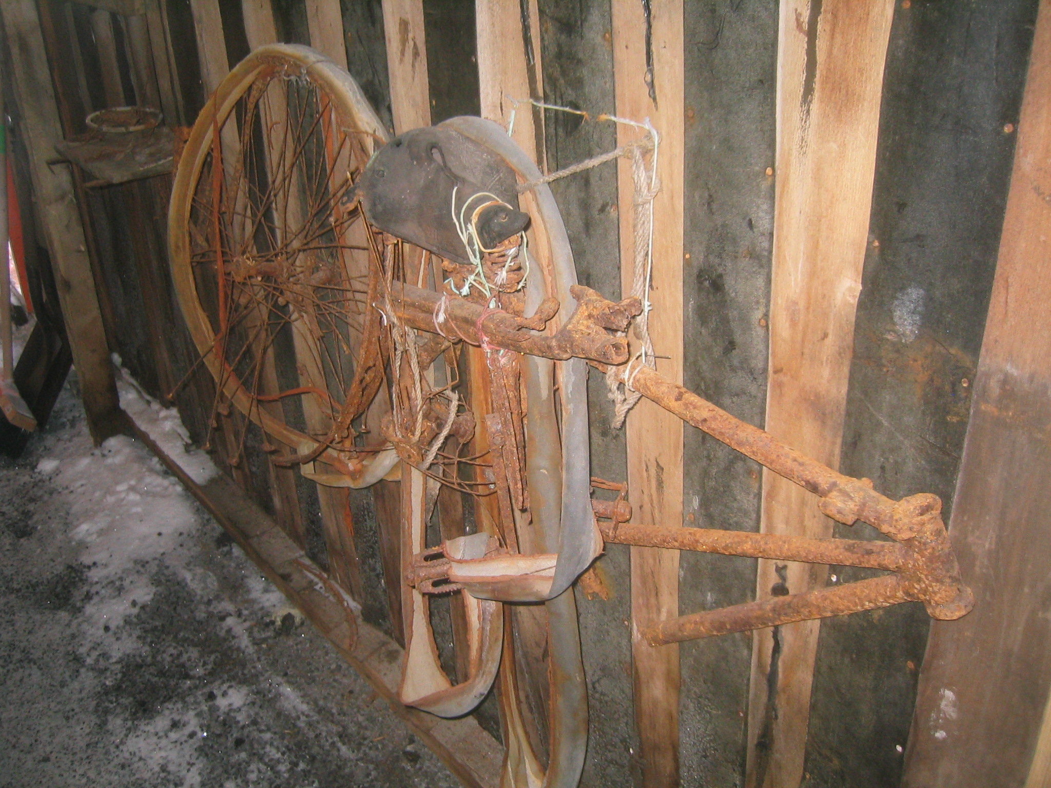
 | A bicycle. |
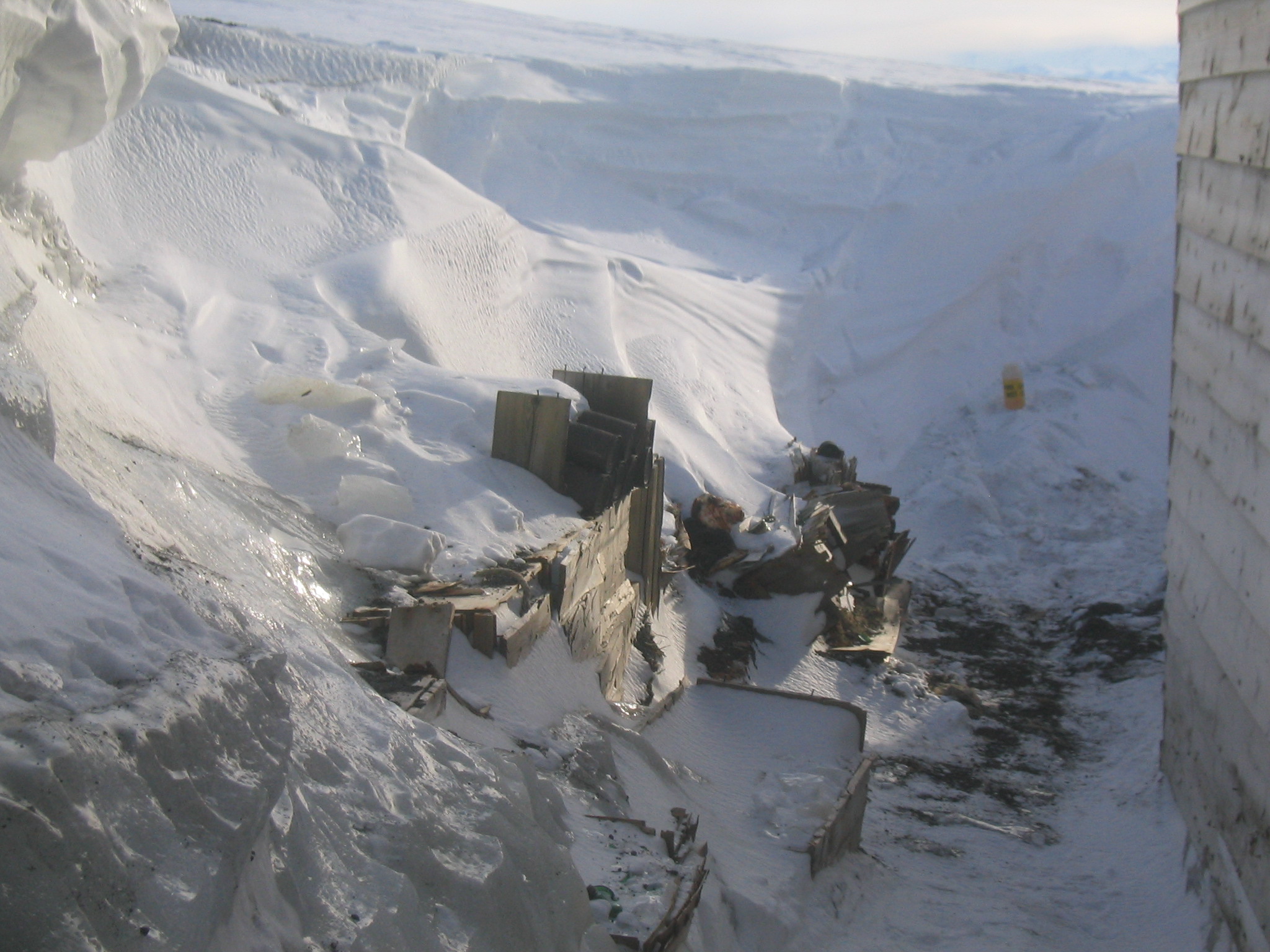
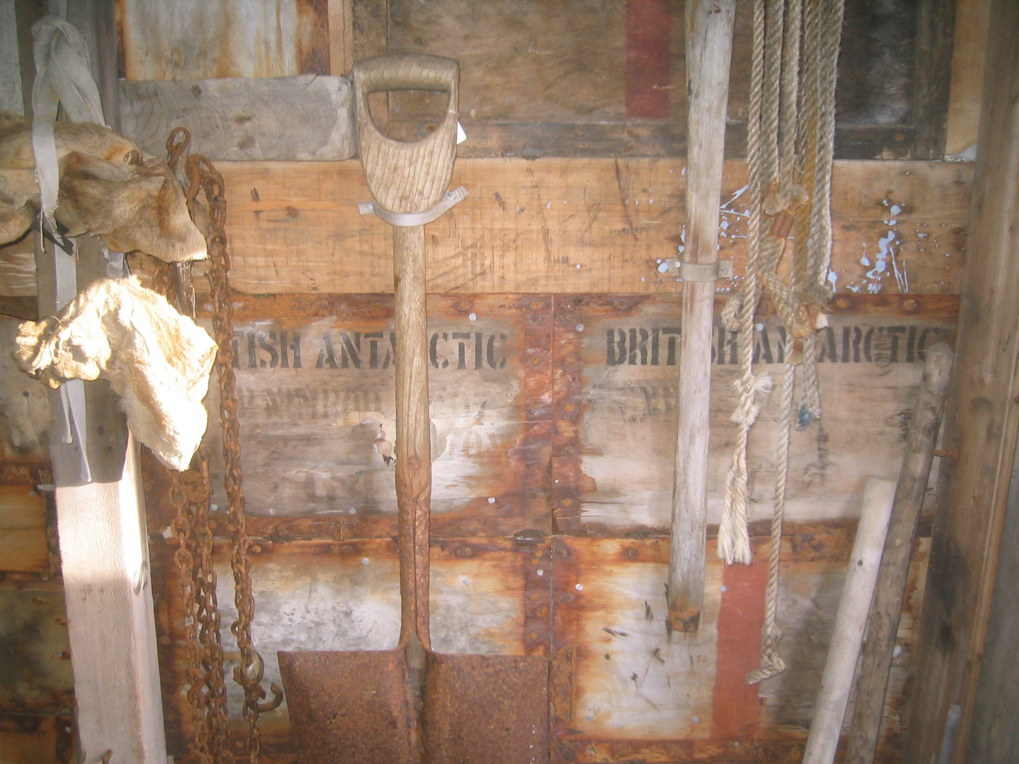
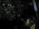
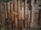
 | The wall is made of old crates. |
 | The wall is made of old crates. |
 | More crates outside. |
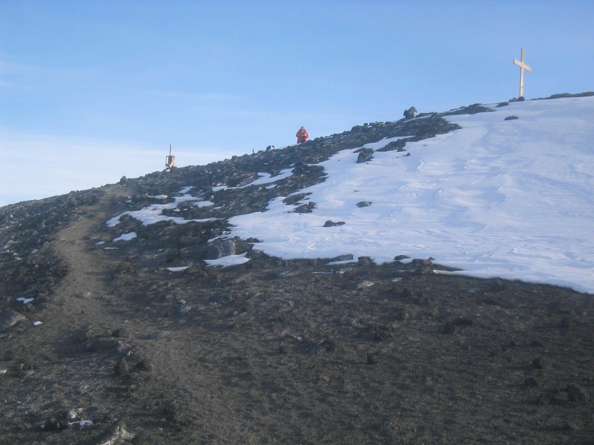
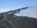 | Looking up Wind Vane Hill. |
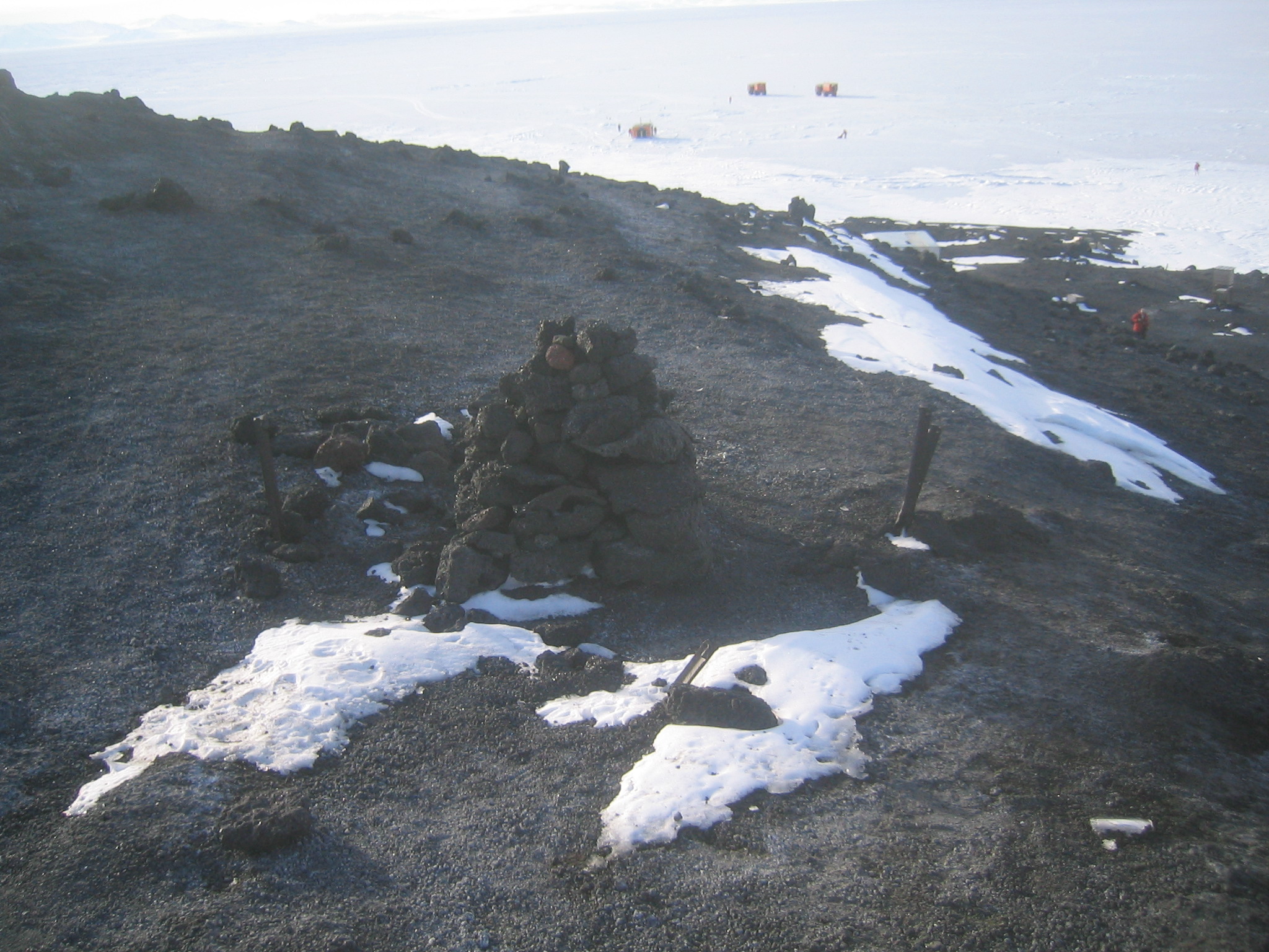
 | A cairn at the top of Wind Vane Hill. |
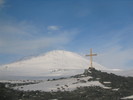
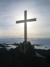 | Wind Vane Hill Cross. |
 | Wind Vane Hill Cross, with Marco in the background. |
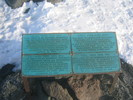
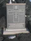 | The plaque at the base of the cross. |
 | Looking down at the hut from the hill. |
|
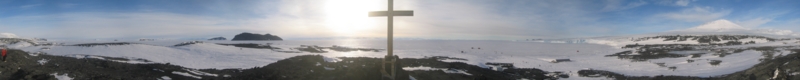 |
| (13677x1364, 9831.72 kb) Another 360 degree panorama of Cape Evans, this time from the top of Wind Vane Hill. The cut is southeastish, in the middle of the Turks Head Ridge. Turks Head itself is the bare headland sticking out into the bay. The glacial tongue follows to the right, leading to Little and Big Razorback. The other island just
to the Left of Little Razorback is Turtle Rock, which is considerably further
away. Castle Rock and the rest of the Hut Point Peninsula can be seen behind
Big Razorback. To the right of Hut Point, in the distance is Black Island;
closer and to the right is Tent Island, and closer still is Inaccessible Island.
Several ranges of the Transantarctic Mountains can be seen behind the cross.
Above the hut are the cliffs of Barne Glacier, and Mount Erebus, to the east,
is at right.
|
|
 | The Wind Vane Hill Cross plaque. |
 | Looking over at Tent Island (left) and Inaccessible Island (right). |
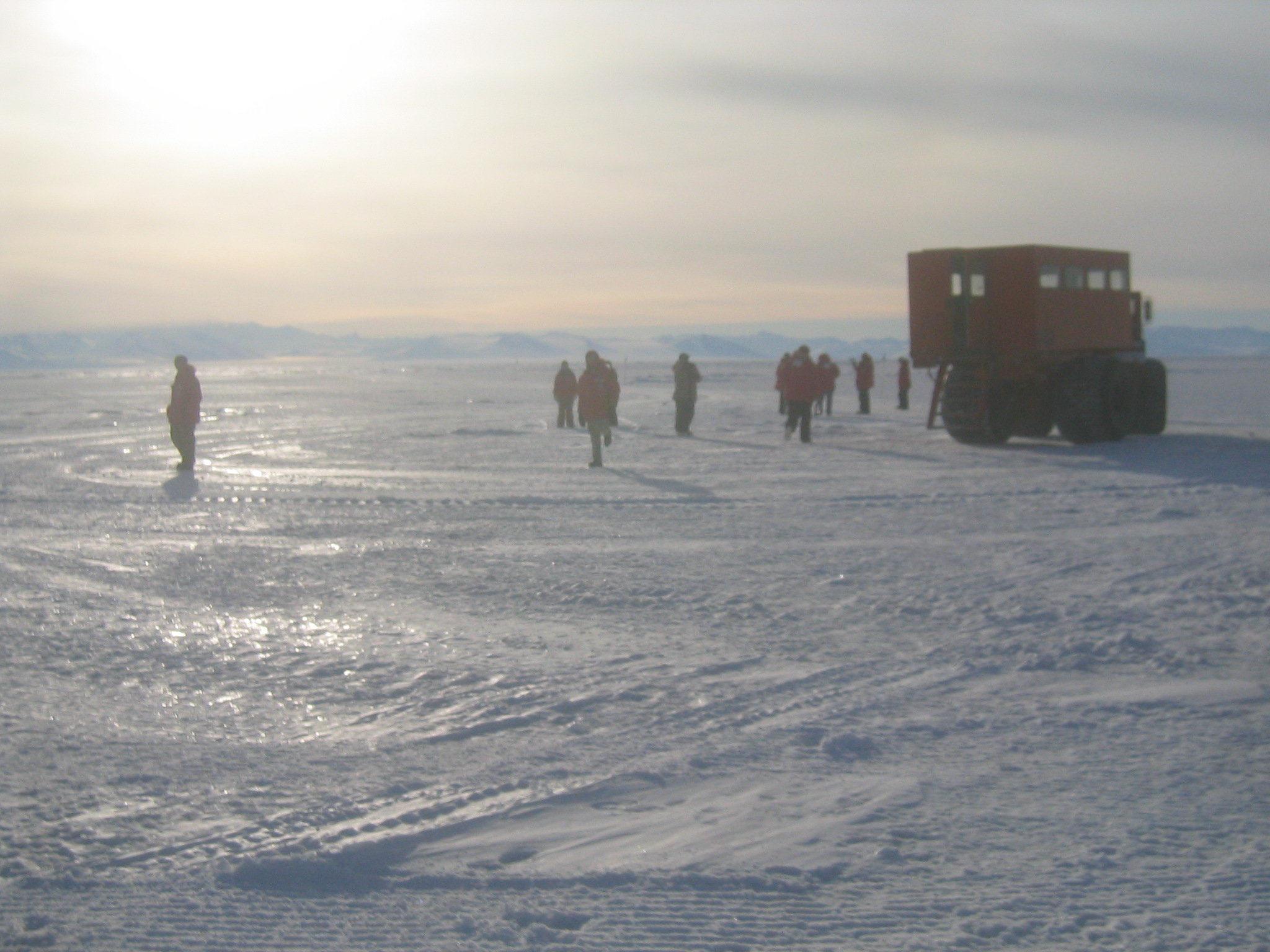
 | Congregating back at the delta. |
 | Erebus from Wind Vane Hill. |
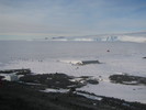
 | Looking down at the hut with glacial cliffs in the distance. |
 | Looking down at the hut with glacial cliffs in the distance. |
 | Wind carved snow. |
 | Back at the delta. |
 | The delta waits to take us back. |
 | The delta waits to take us back. |
 | Swapping experiences while waiting to go back. |
 | Some suspiciously Kiwi Green containers near the hut. |
 | Chris checks out the camera. |
 | Nick. |
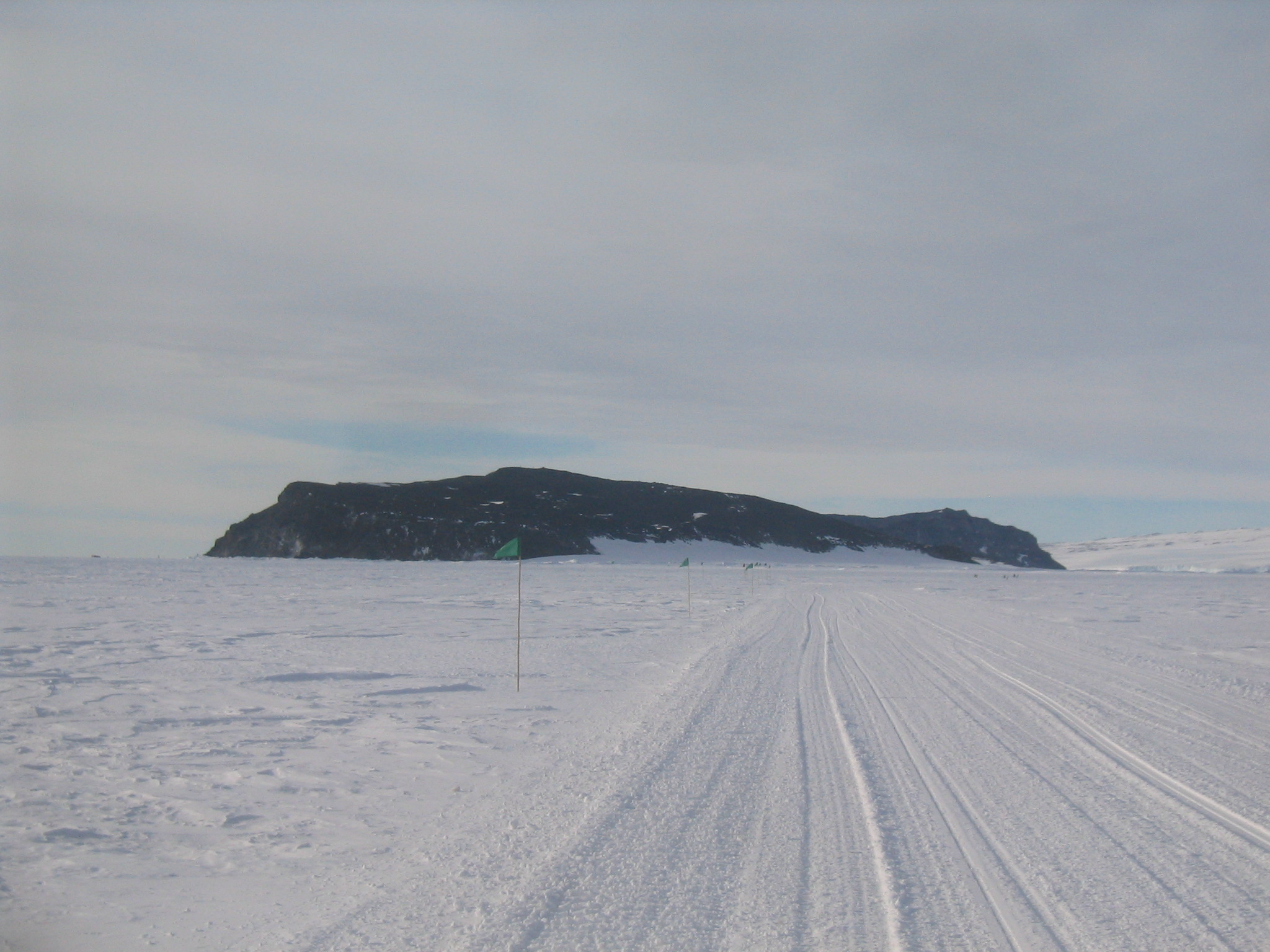
 | Inaccessible island from the road. I tried to get a census to go over there and access it and then rename the island, but no one wanted to go. |
 | Tent island. |
|
 |
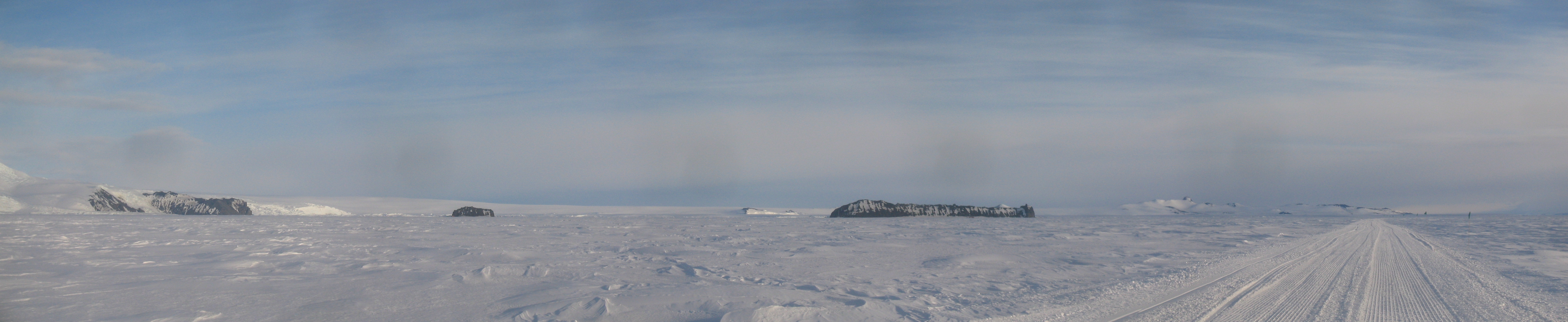
| (6704x1375, 4671.97 kb) A panorama from the ice road showing Turks Head at left, Little Razorback, Turtle Rock in the distance, Big Razorback, and then the Hut Point Peninsula.
|
|
 | Gaelen with Tent Island. |
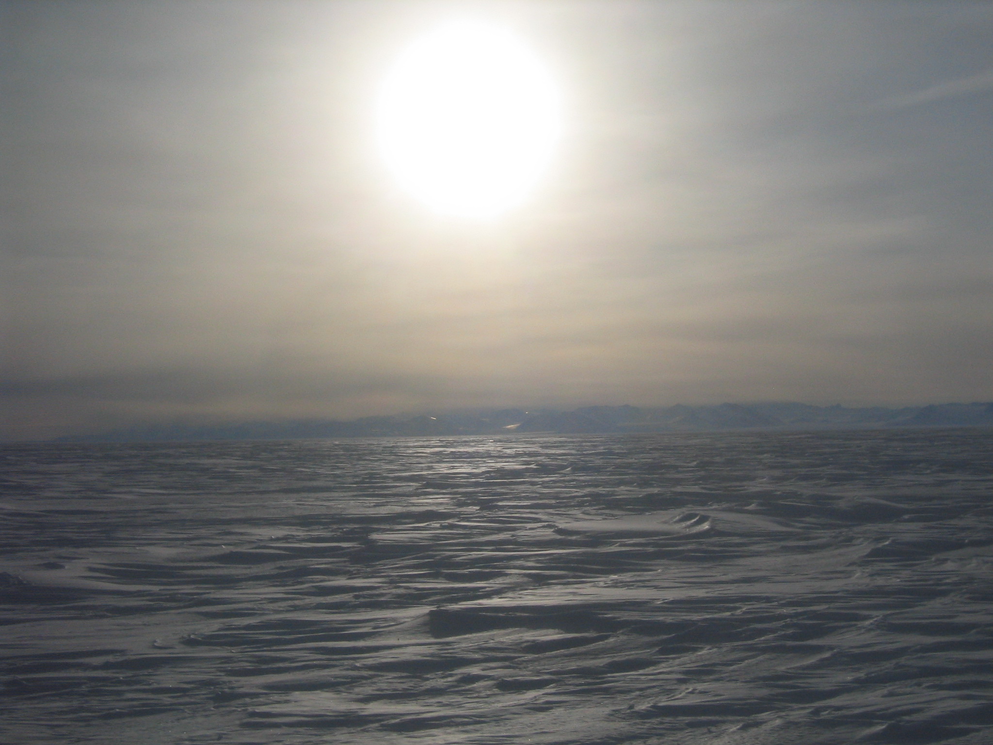
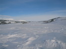
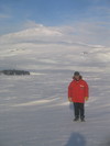
 | Looking across the ice towards the mountains. |
 | Mark Halpern a.k.a Enzo Pascale. |
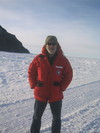
 | Me and Erebus. |
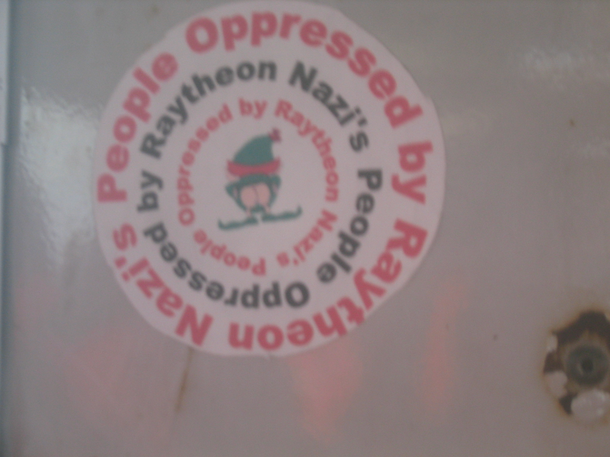
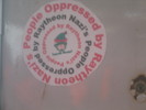 | "Nazi's People Oppressed by Raytheon". When I first read this, I parsed it differently, but that possessive only makes this sense reasonable. |
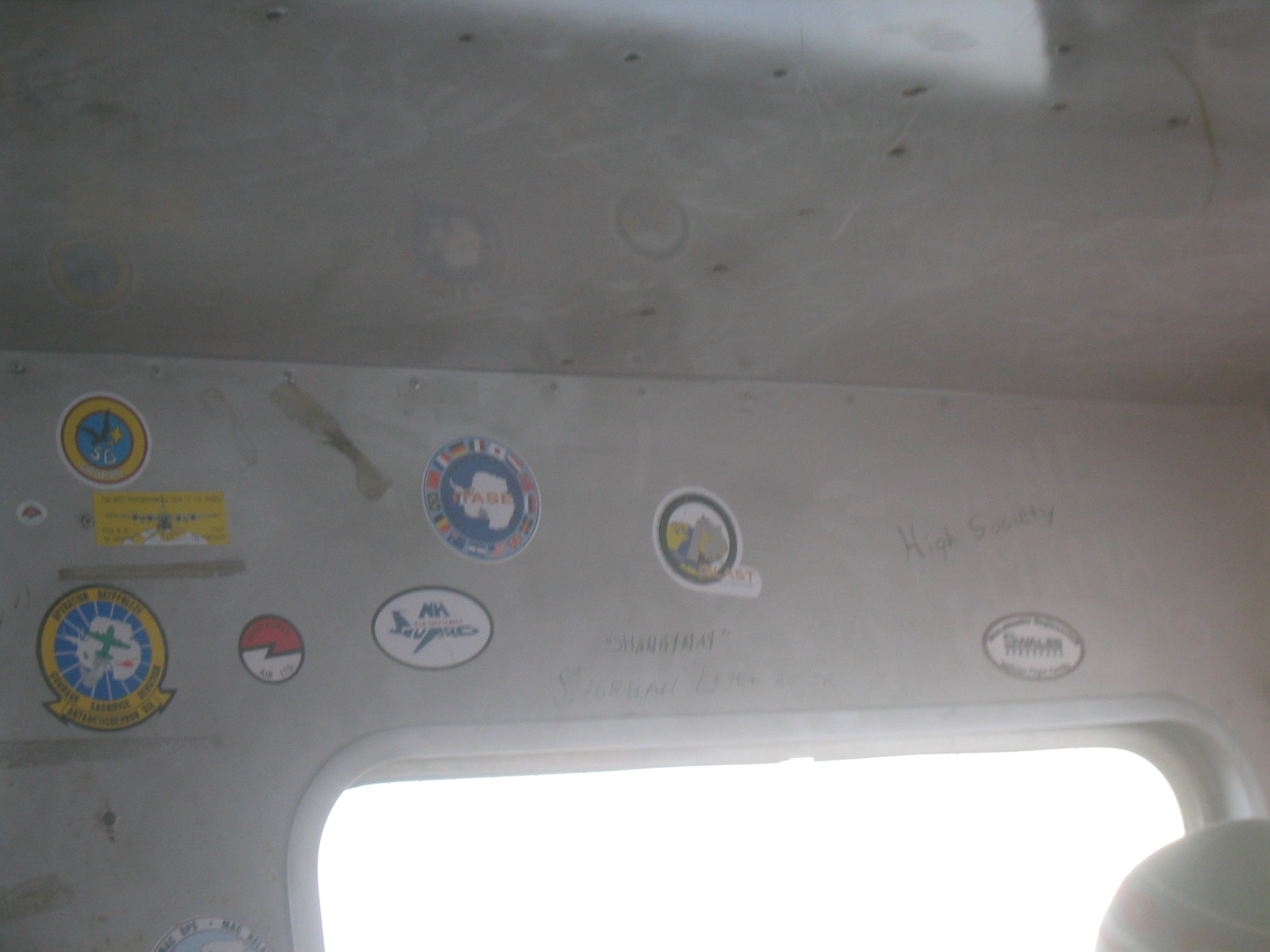
 | Another BLAST sticker in the Delta. |
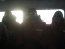 | Matt, Chris and Marie. |
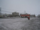 | Ivan picks us up in the morning during a flurry. |
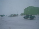
 | The view from the bus during the snow flurry. |
 | Scott Base. |