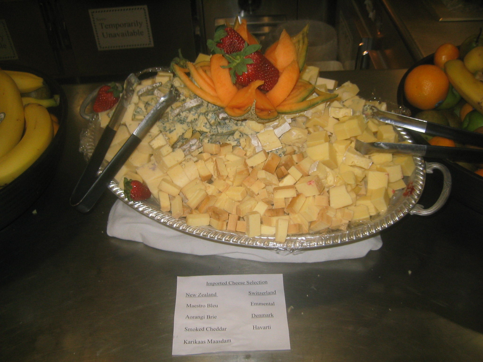


| Cheese! Note how they point out that all the cheese is imported. No penguin derived cheese for us. |
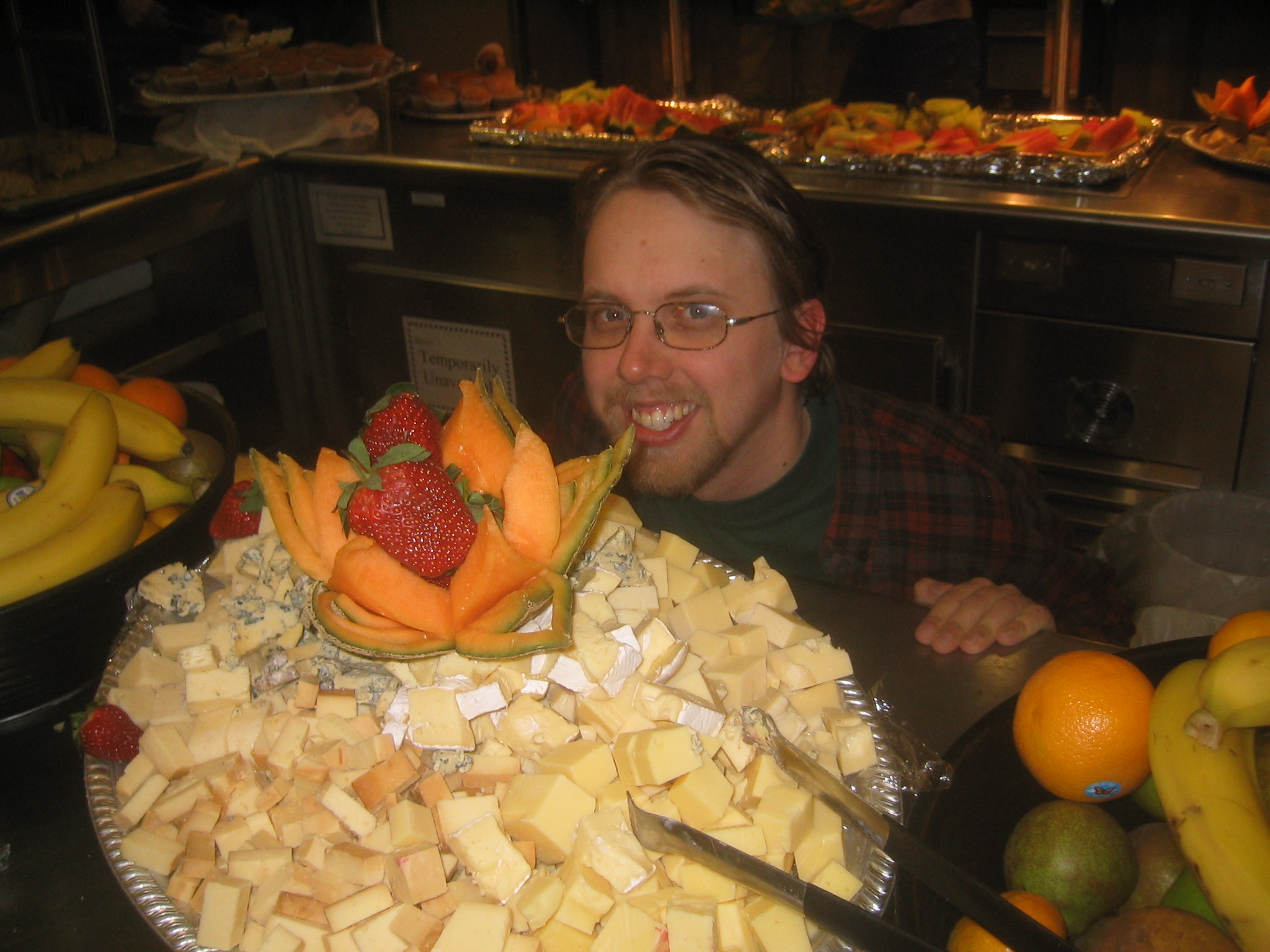
| Me and cheese. |
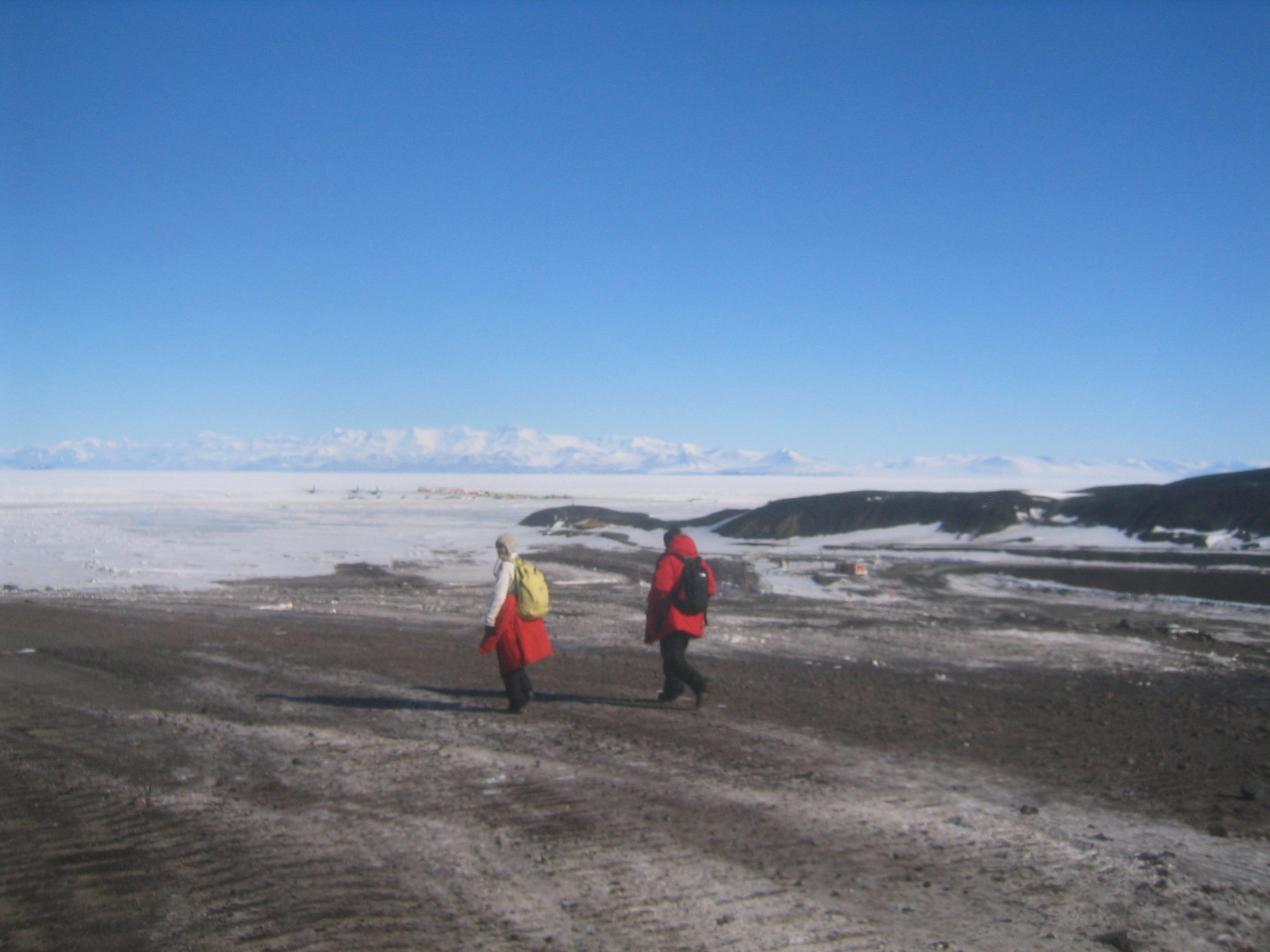
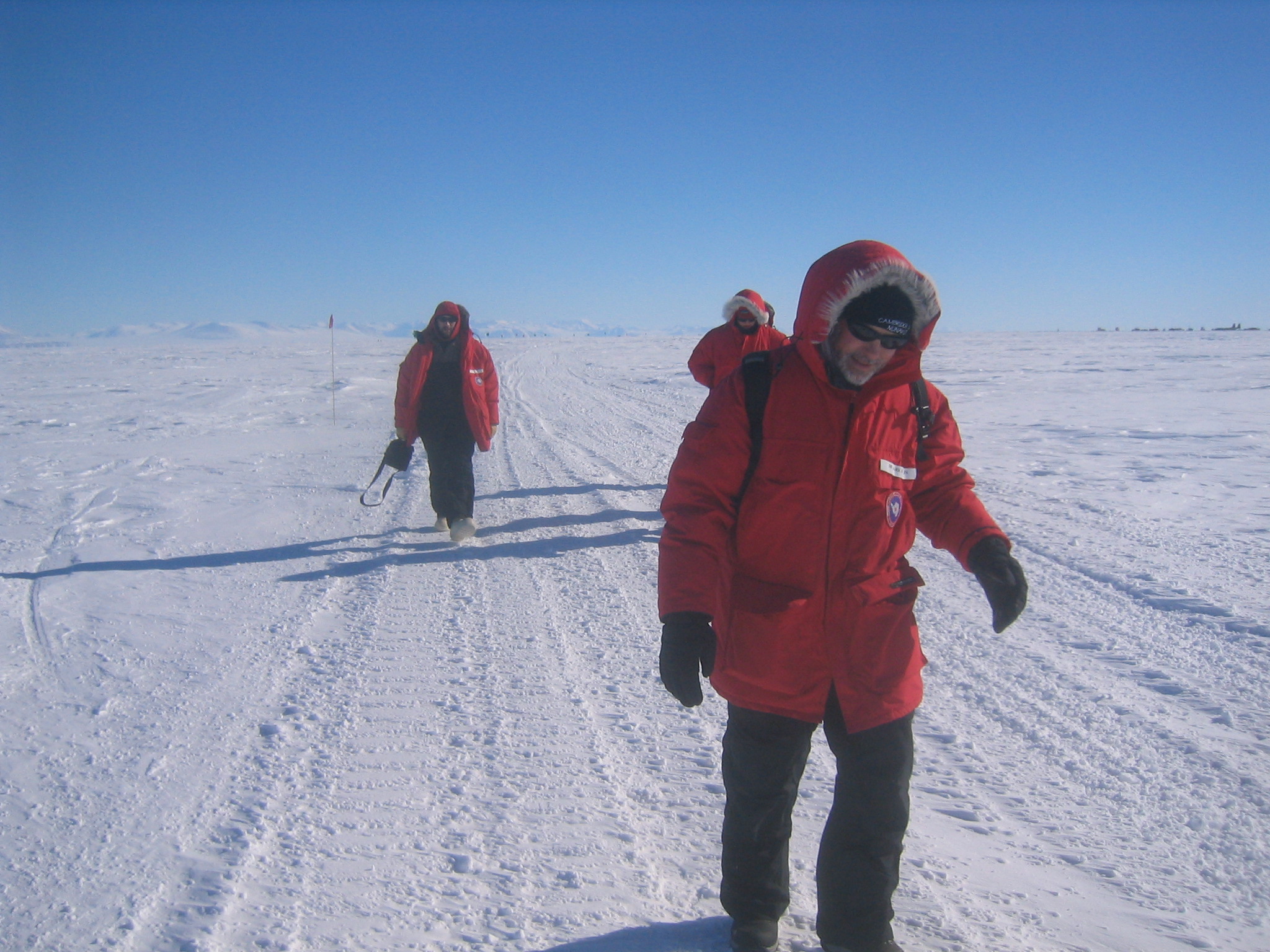
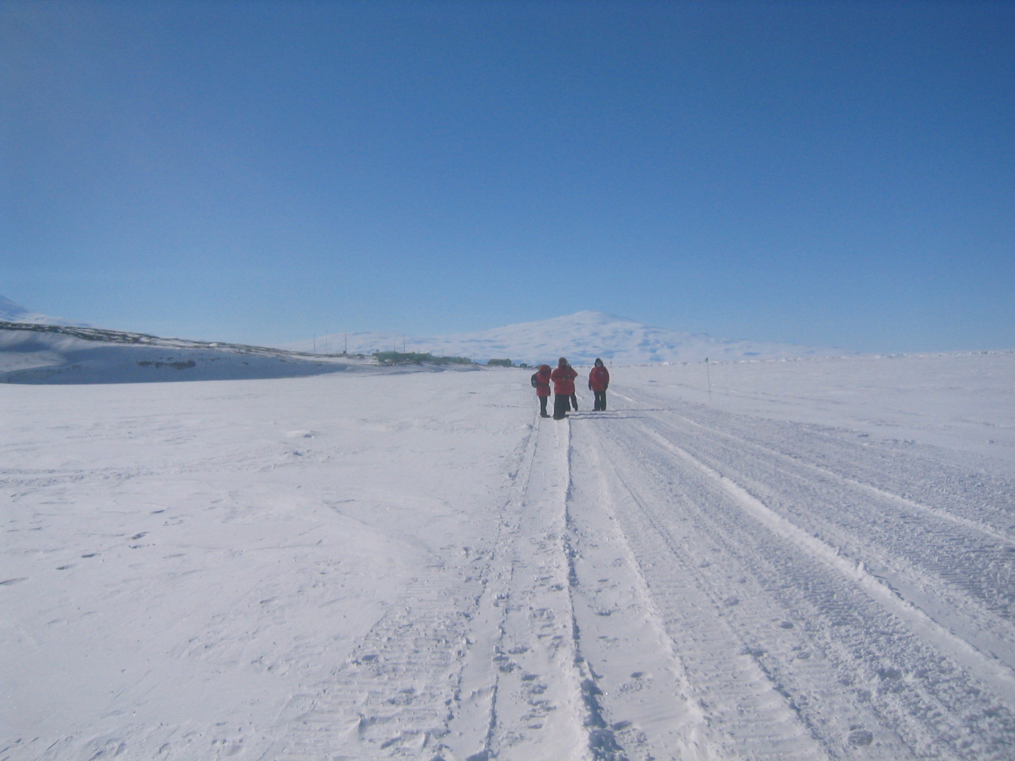
| Marie and Chris head down to the ice runway to start our hike. |
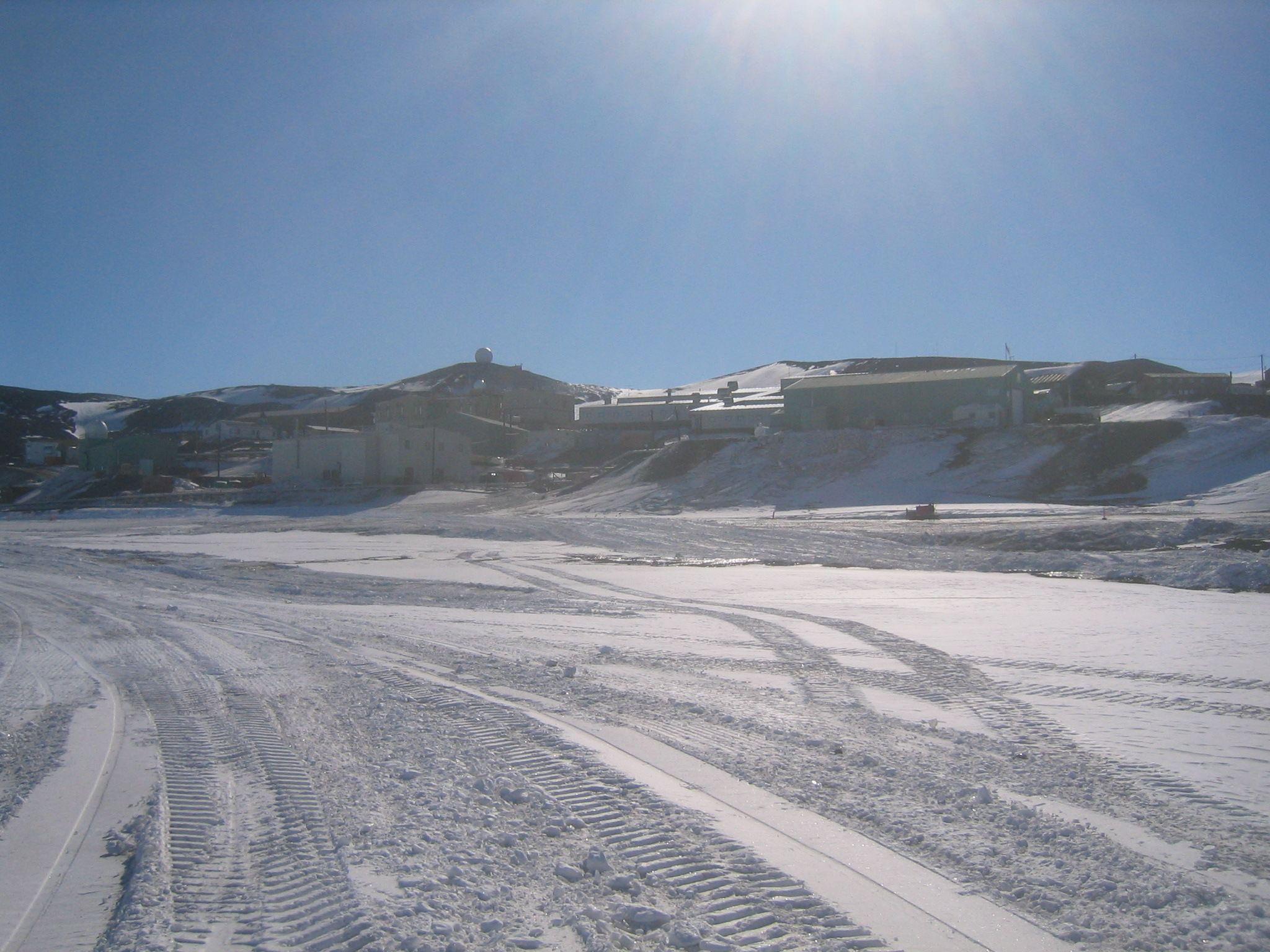
| Looking back at McMurdo from the road to the Ice Runway. The hills in the background are Arrival Heights. |
| |
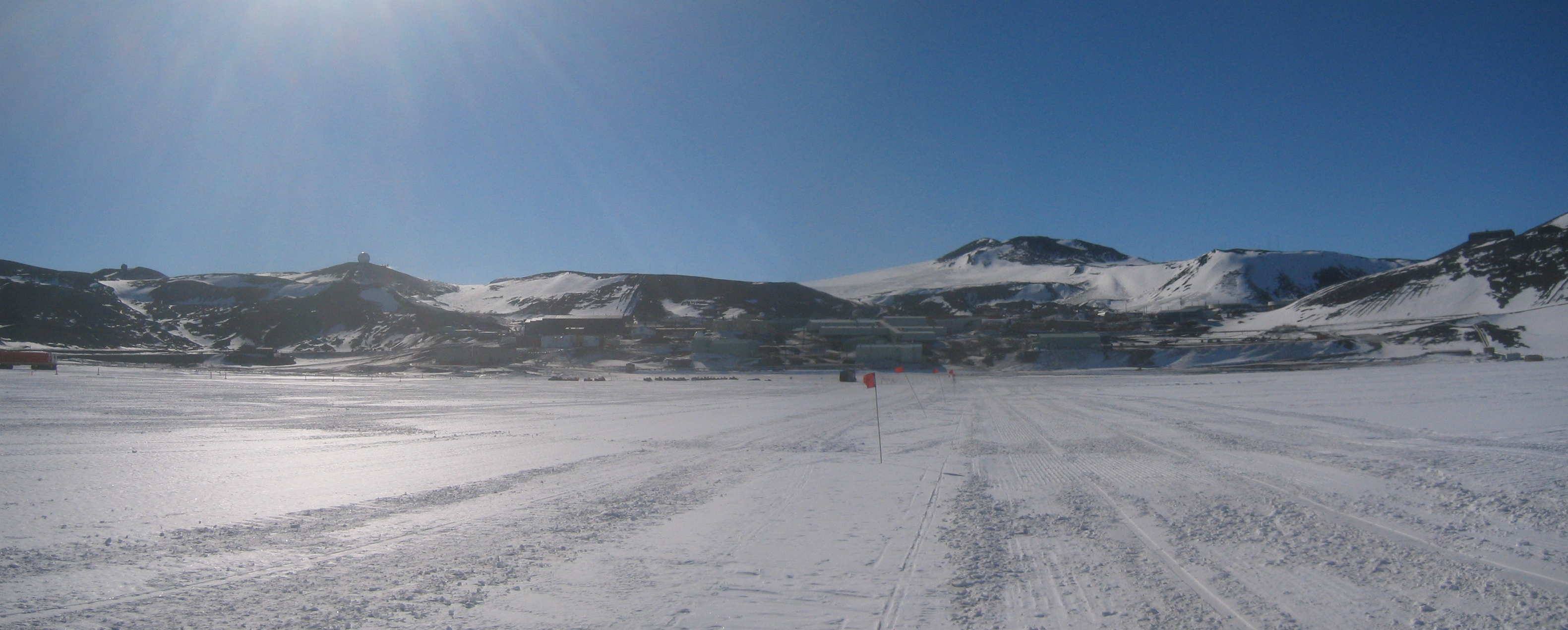
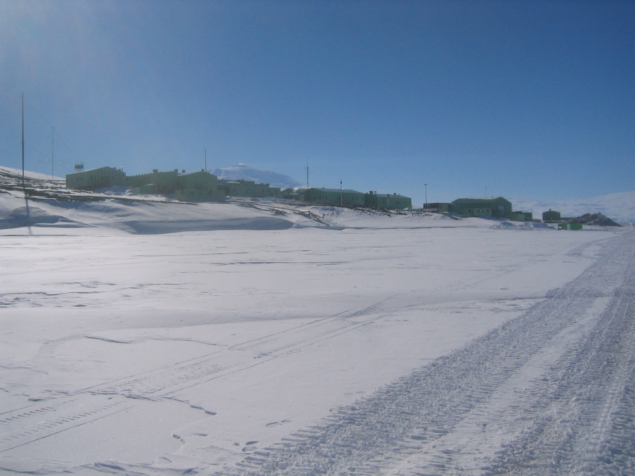
| (3162x1272, 2330.19 kb) A view of McMurdo from the ice shelf south of town. Arrival Heights is at left. Crater Hill is just right of centre. At right you can make out the Gap between the Fortress Rocks and the slopes of Ob Hill. | |
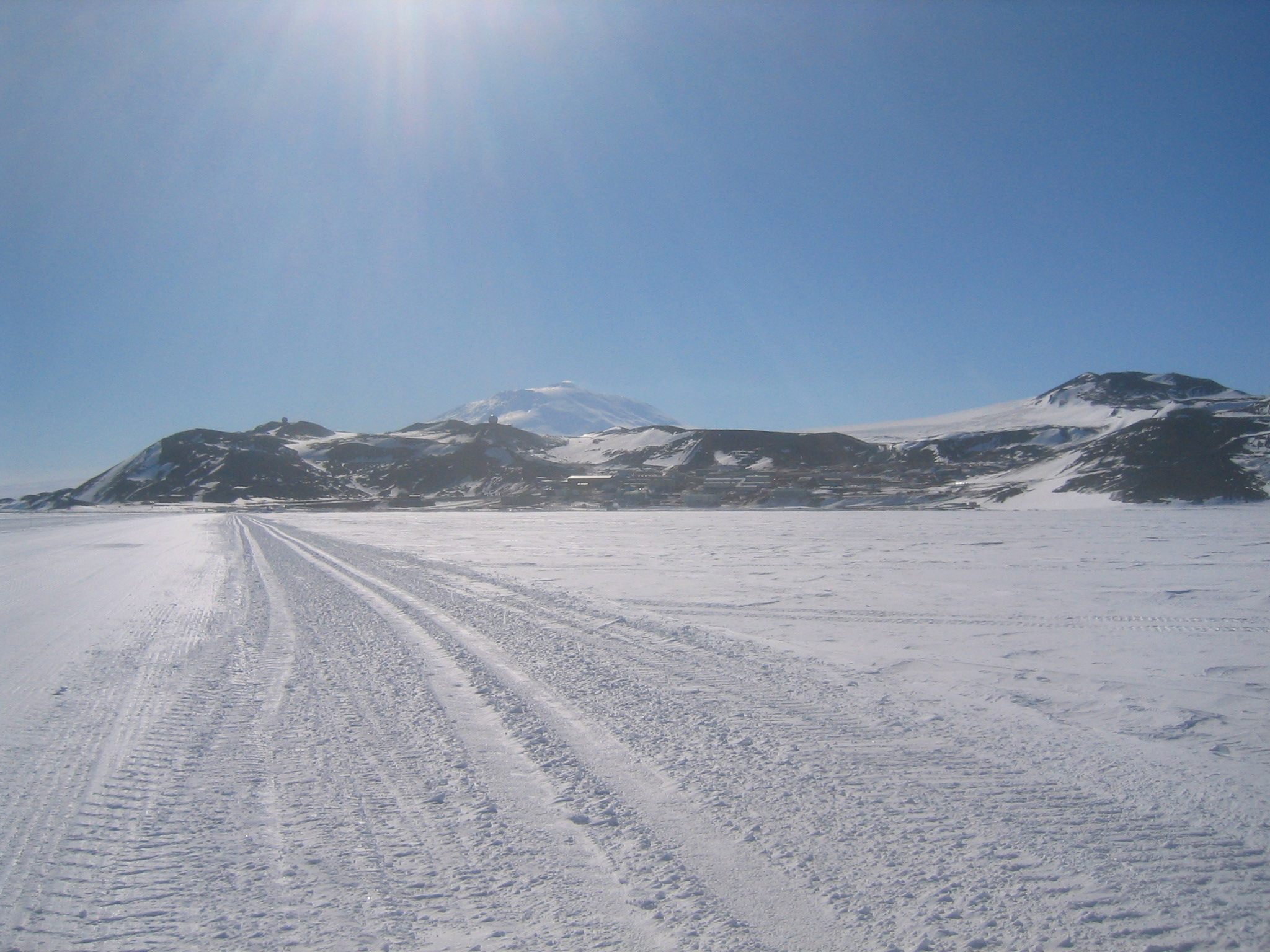
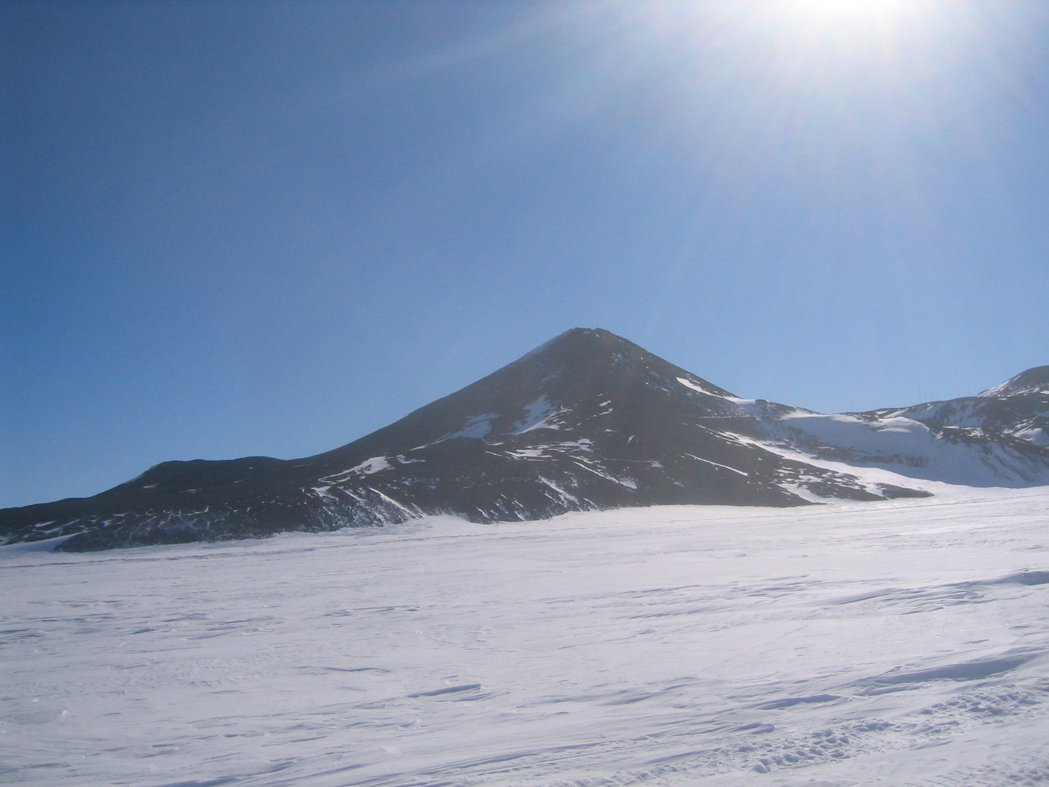
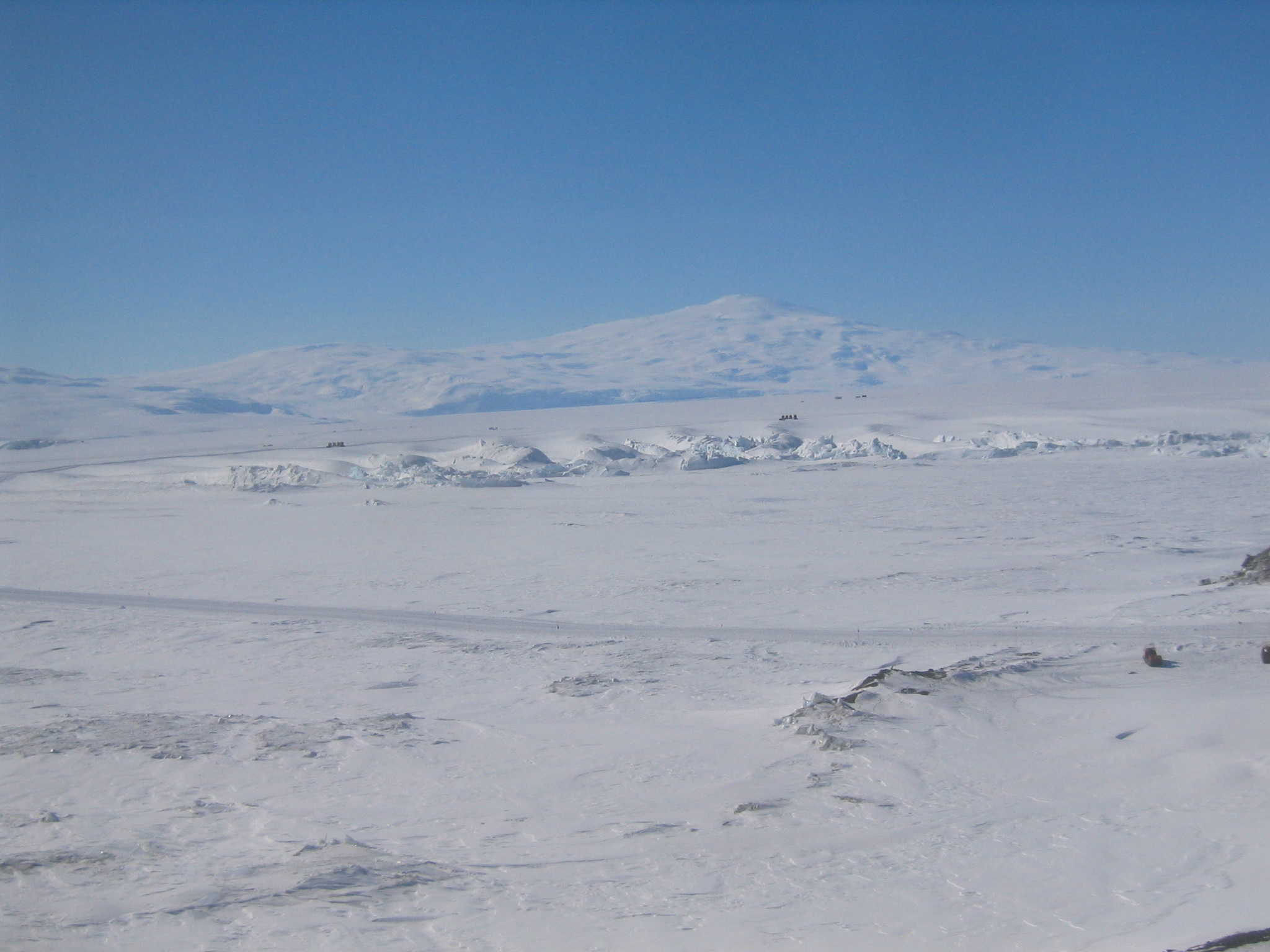
| Further out. McMurdo with Erebus in the background. Crater Hill is at right. White Dome and Grey Dome can be seen atop Arrival Heights. |
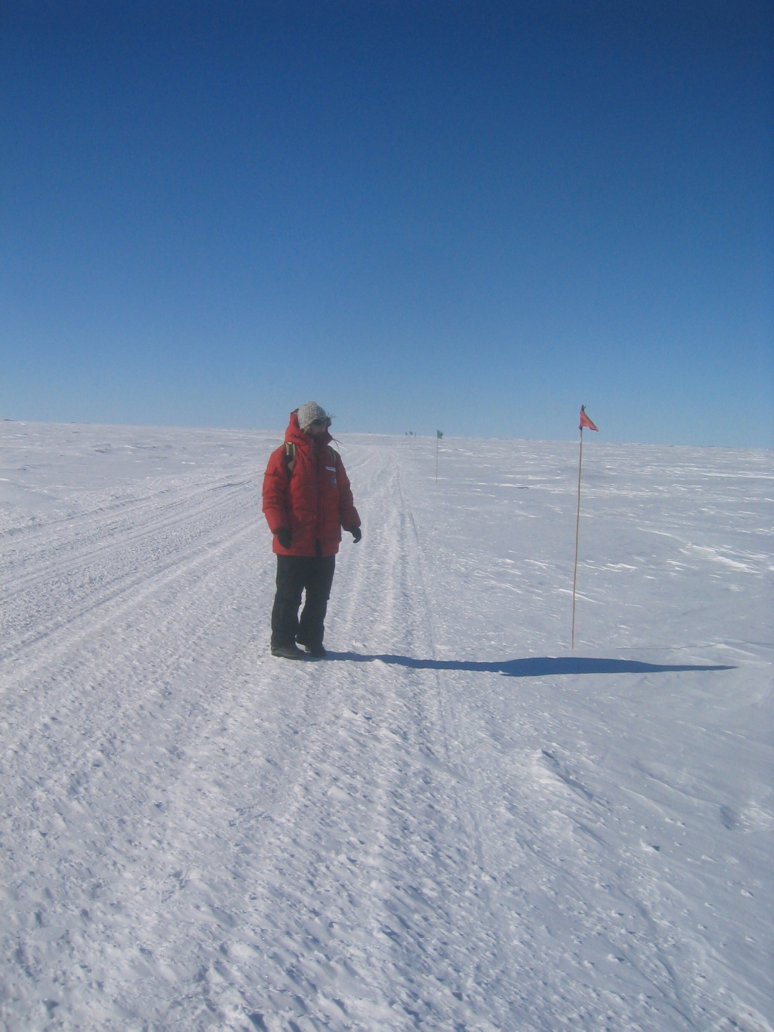
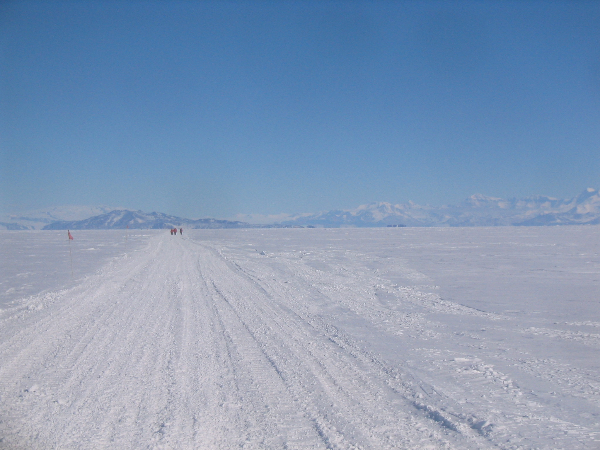
| Walking the trail. The Ice Runway is on the horizon at right. In the distance is the Royal Society Range. |
| Marie leads the way. Marie was out in front for most of the hike and set a good pace. |
| Scott Base coming into view on Pram Point. In the distance is Mount Terror. Erebus is just visible at left. |
| The back side of Ob Hill, with Cape Armitage at left. |
| Taking a water break near the pressure ridges. |
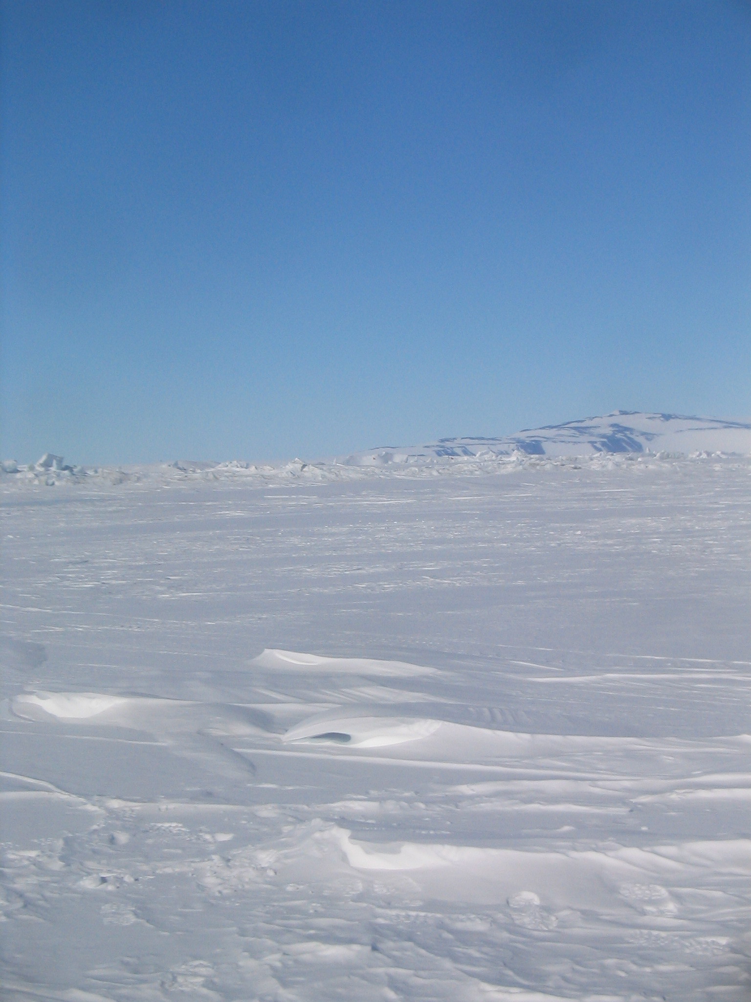
| Looking back southwards at the mainland. A prominent superior mirage can be seen at the base of the Royal Society Range. |
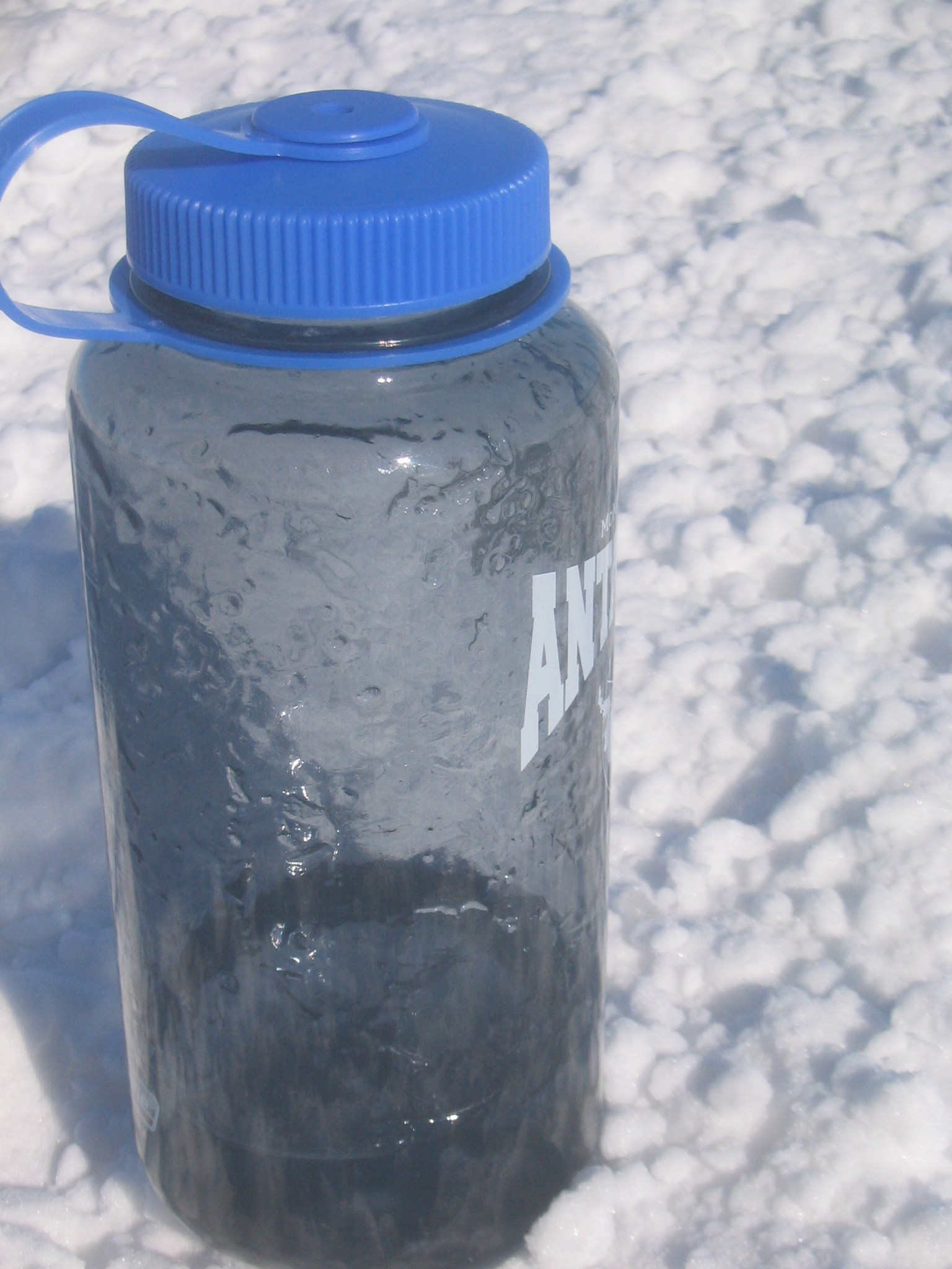
| The water bottle I was carrying eventually developed a sufficient layer of ice to prevent me from opening it. Fortunately I had a second, warmer bottle in my parka. |
| A view of Scott Base from the ice. The ever-present Erebus is behind. |
| Wind blown snow, pressure ridges and White Island. |
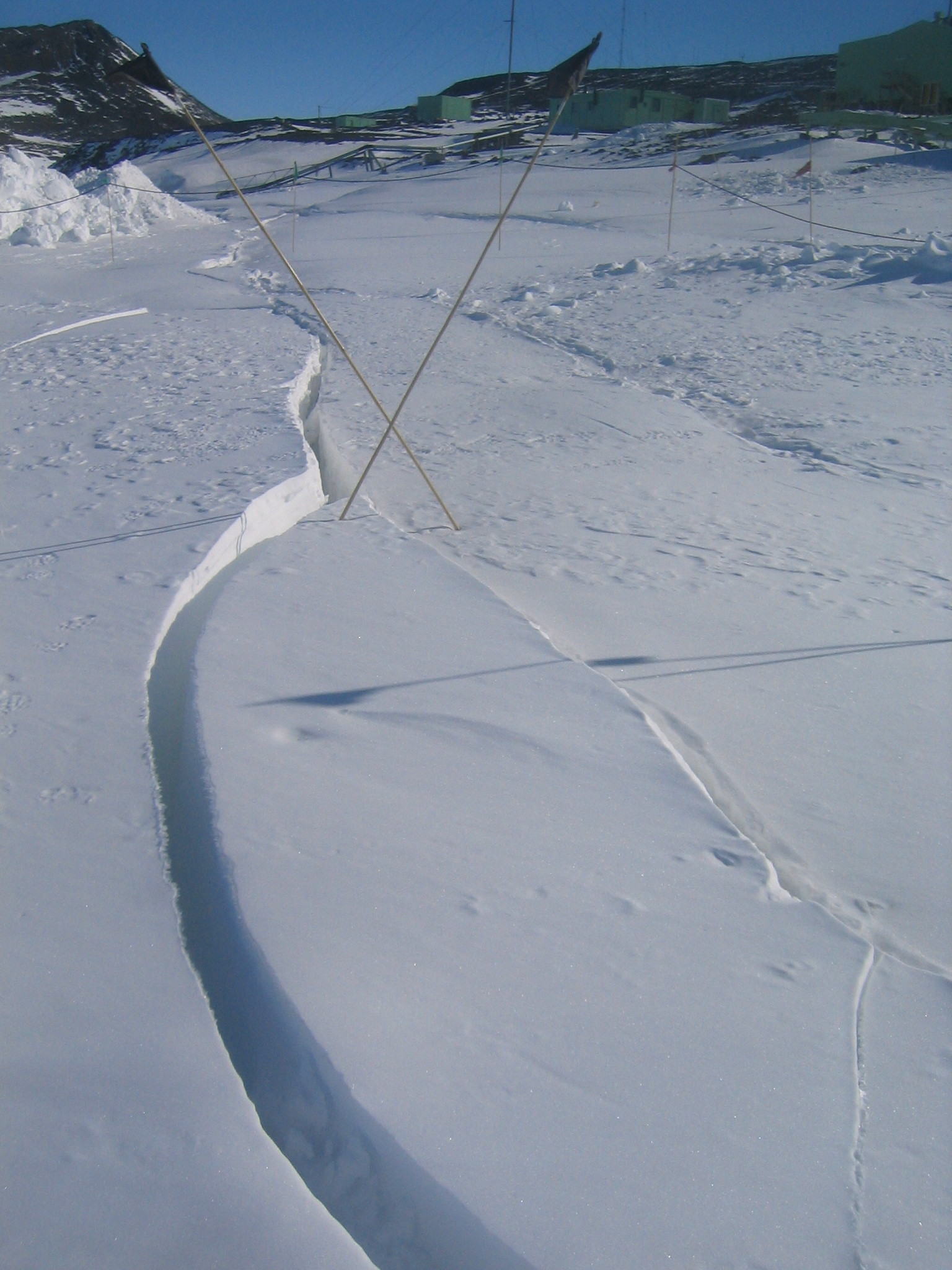
| A number of small cracks crossed the trail near the ice-rock transition. Note the black flags. Soon this route will be closed. |
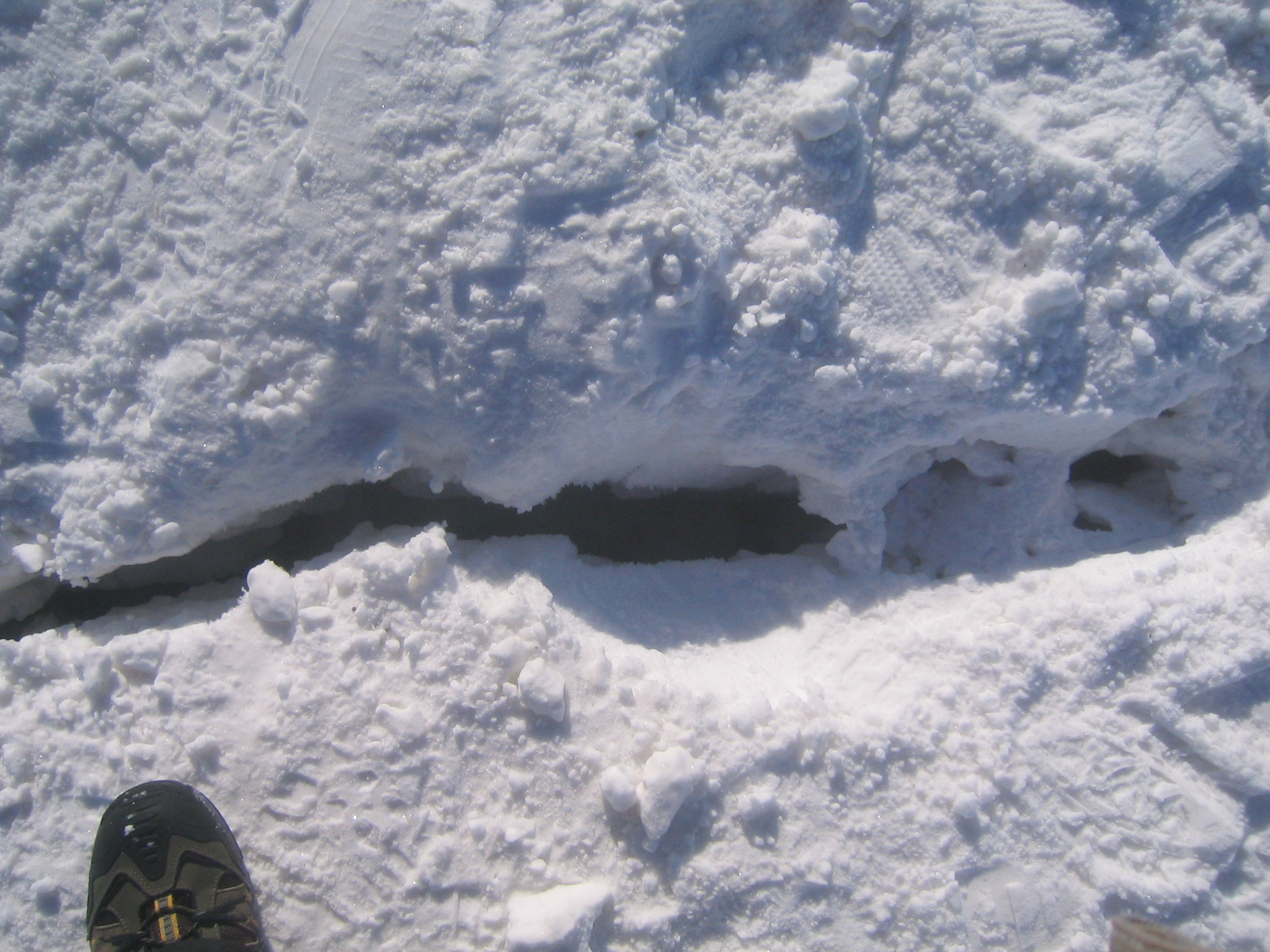
| Another small crevasse in the middle of the path. |
| Looking back at the pressure ridges from the road to Scott Base. The Willy Field road can be seen heading off to the left in the foreground and then turning and heading back to the right beyond the pressure ridges. In the distance is Mount Terror. |
| Looking down at the pressure ridges. The LDB Camp at Willy Field can just be made out on the horizon at right. |
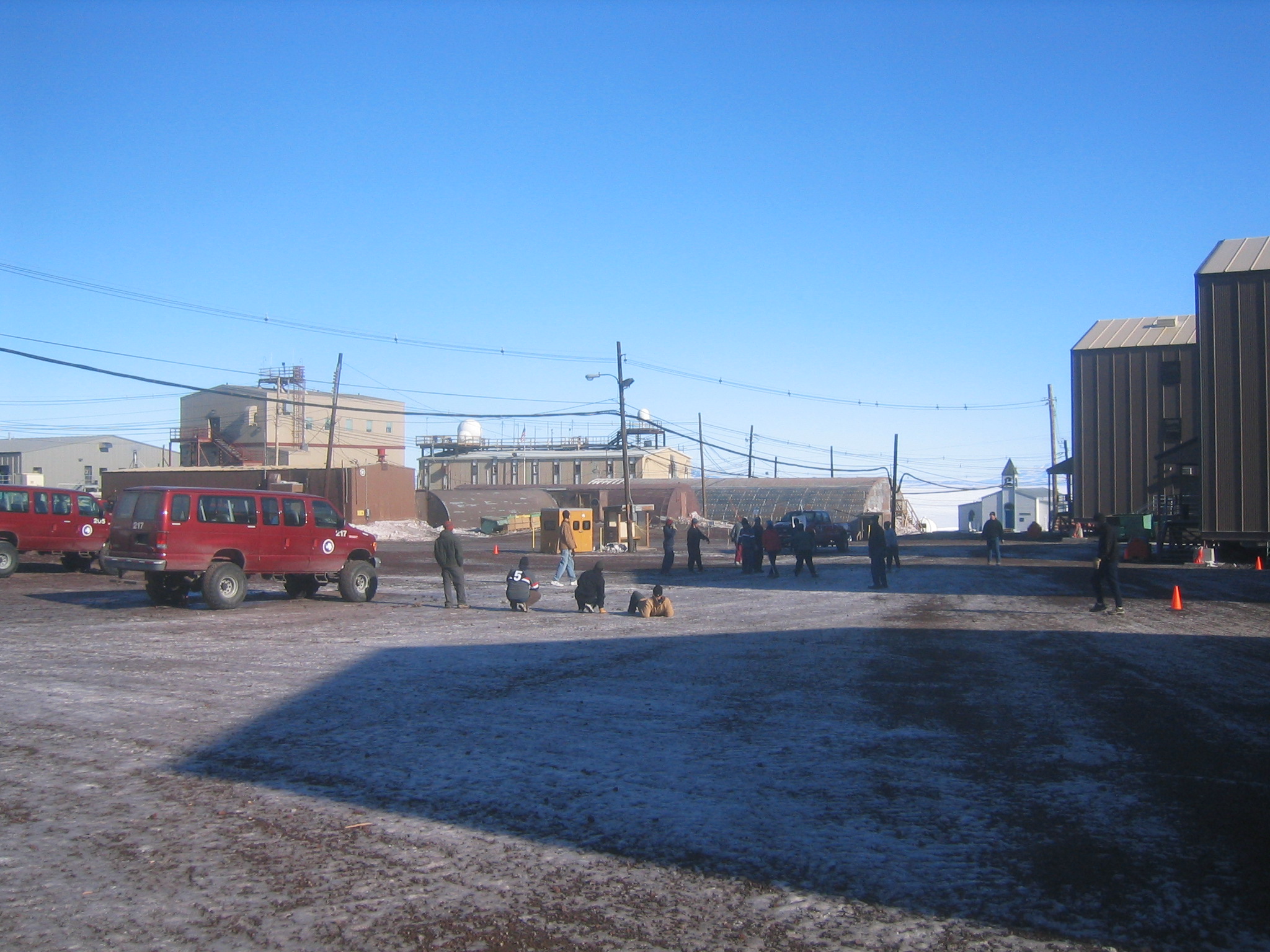
| Playing some rugby outside the dorms. |
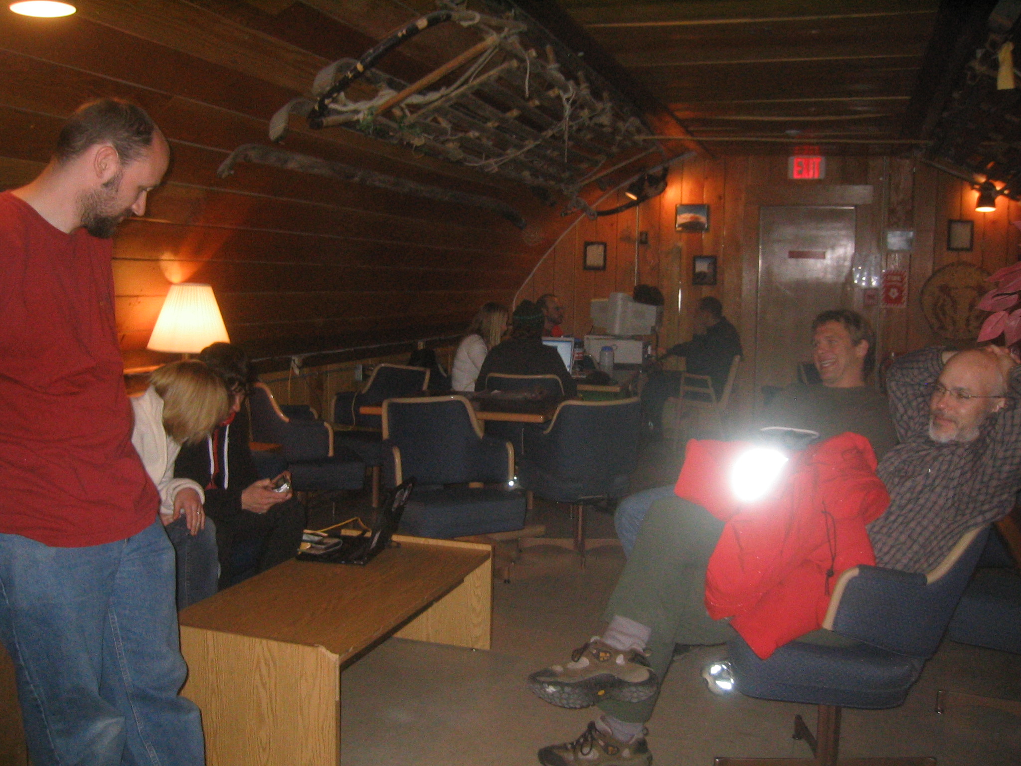
| Inside the Coffee Shop/Wine Bar after watching the movie. |
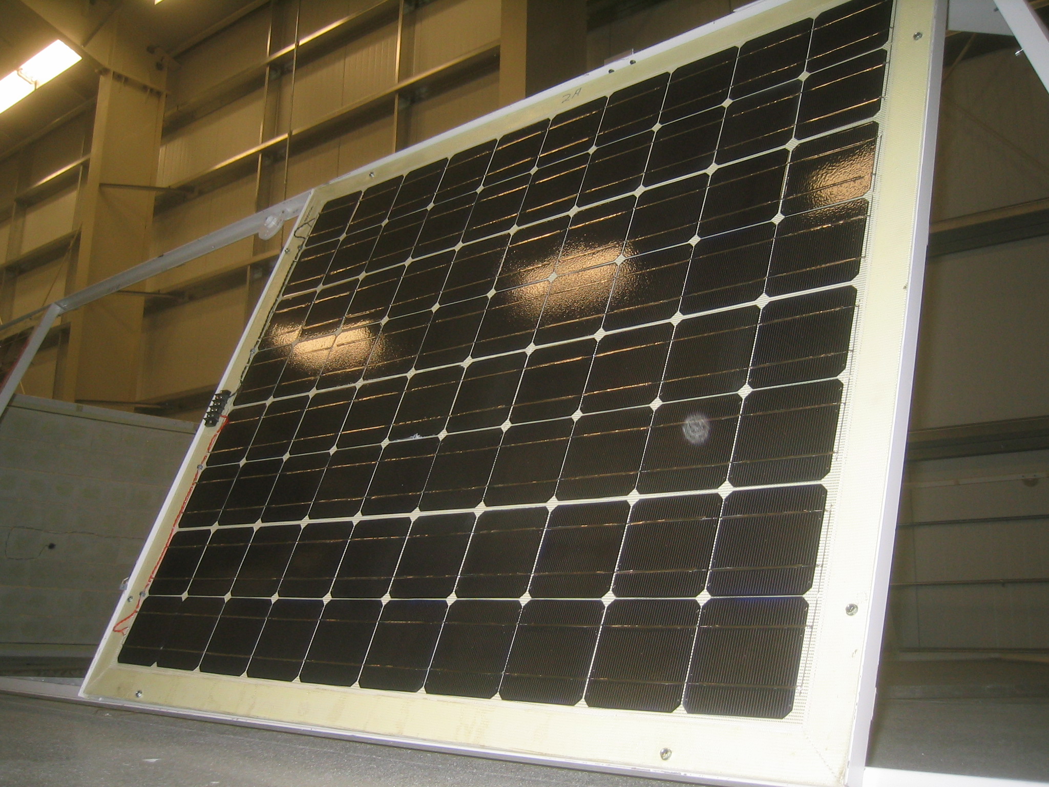
| BLAST's LDB solar arrays. These arrays power the CSBF's electronics. |